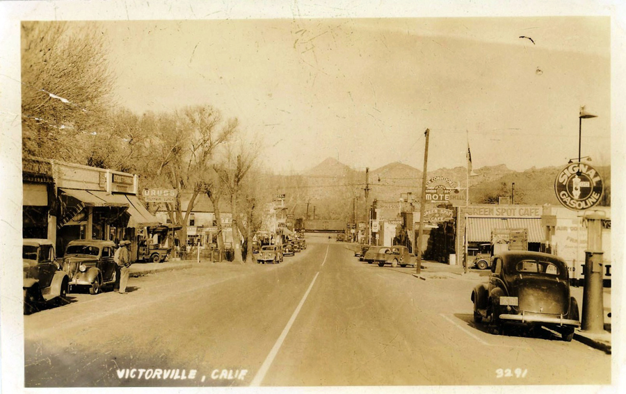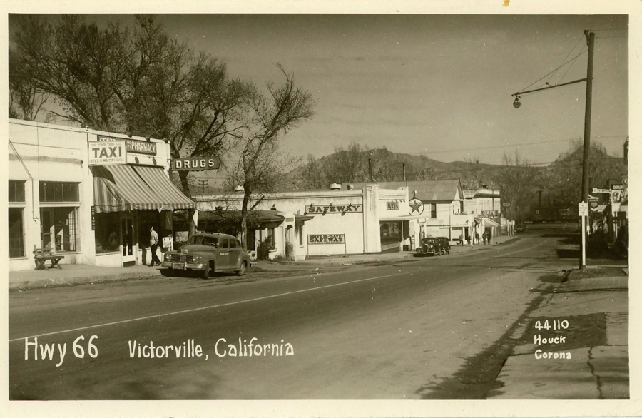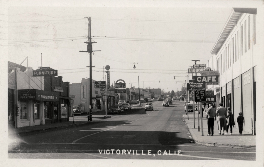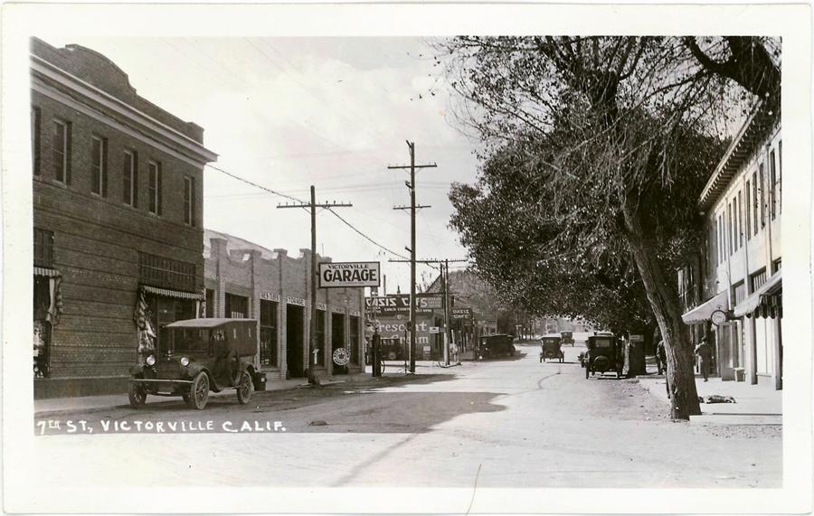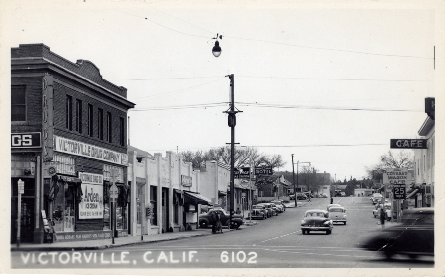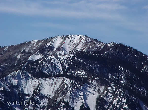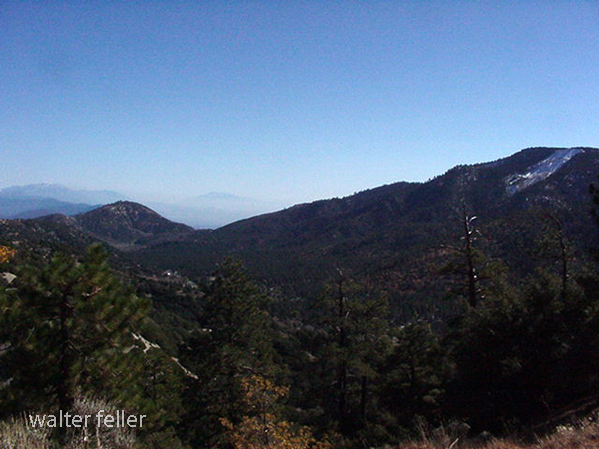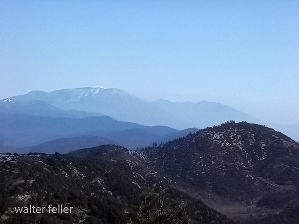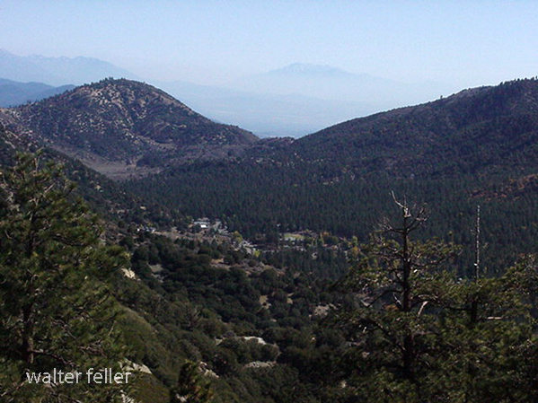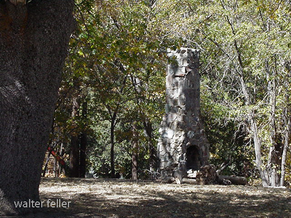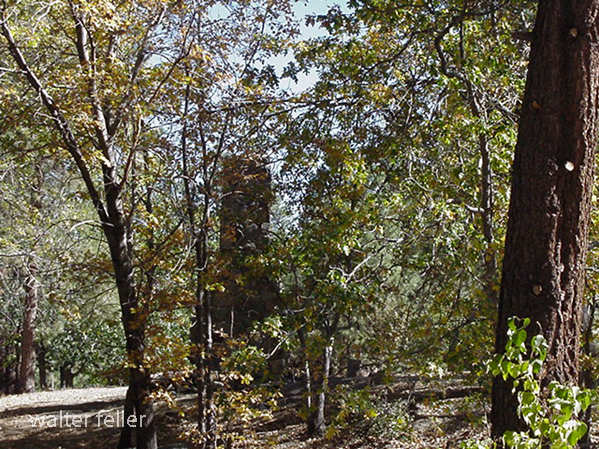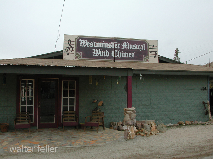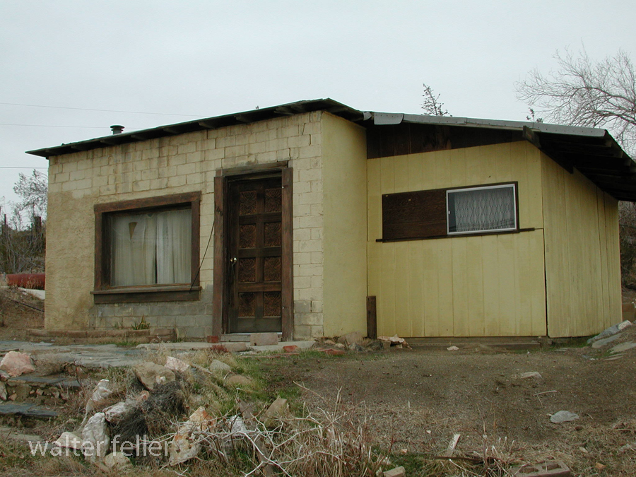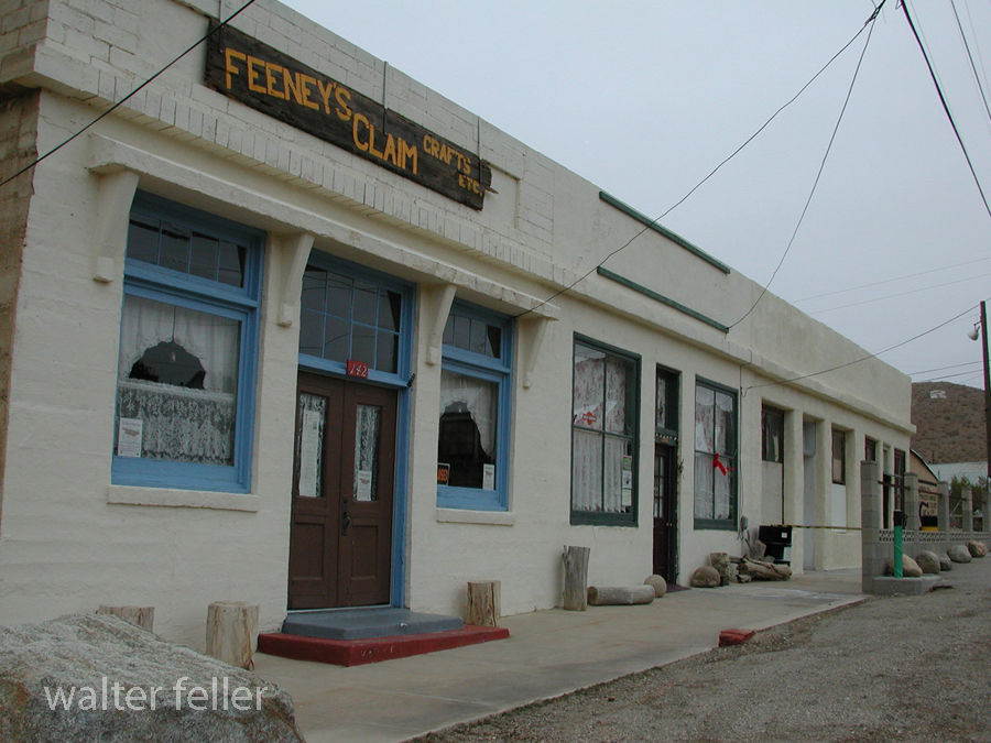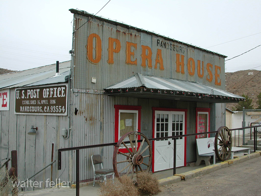




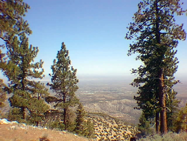
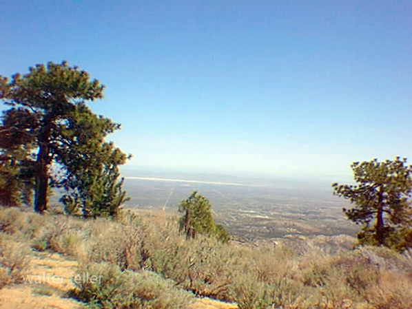
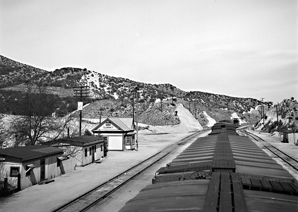
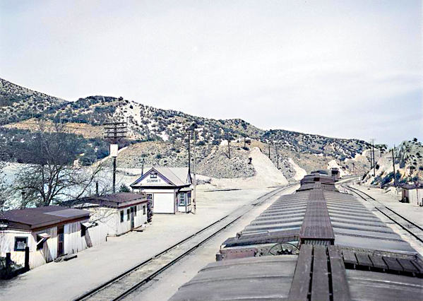
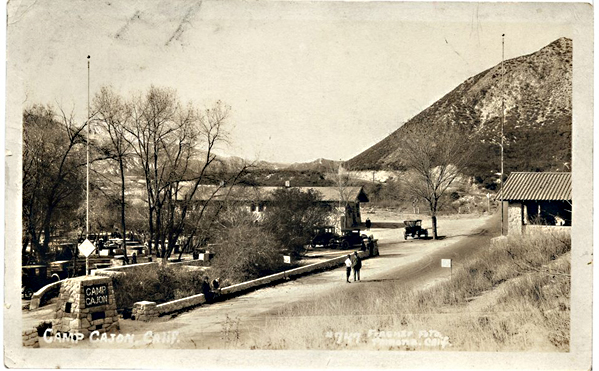
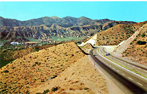
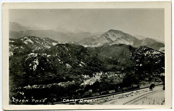
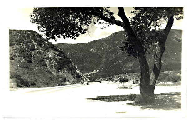
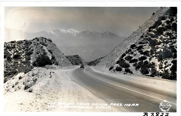
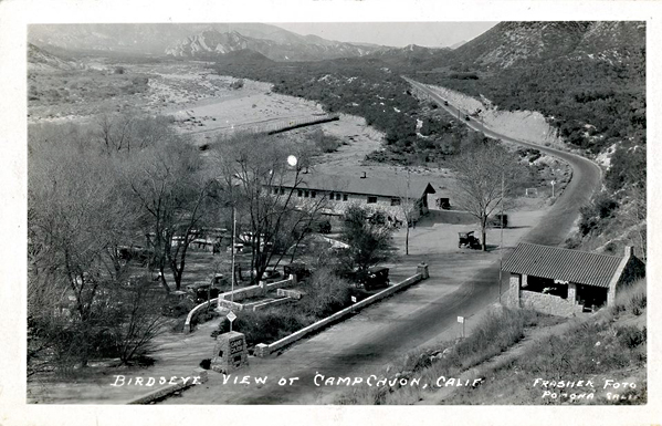
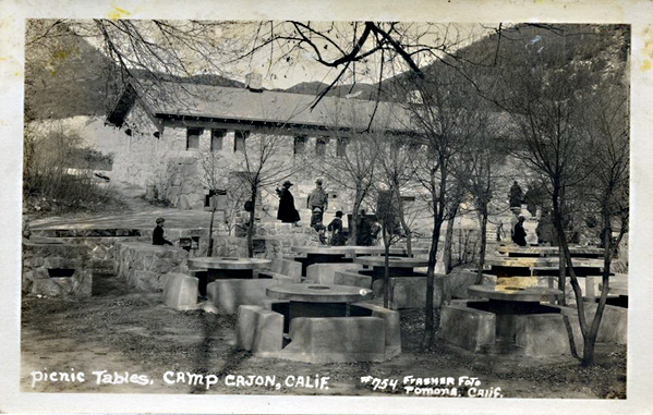
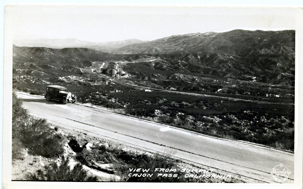
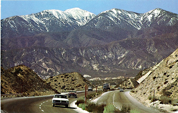
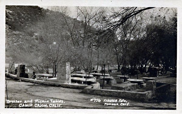
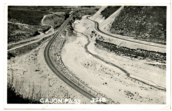
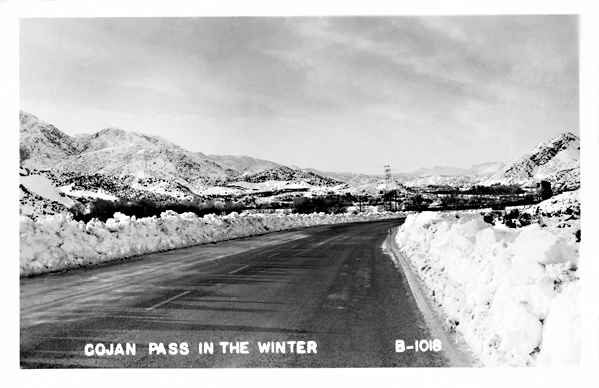
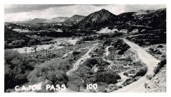
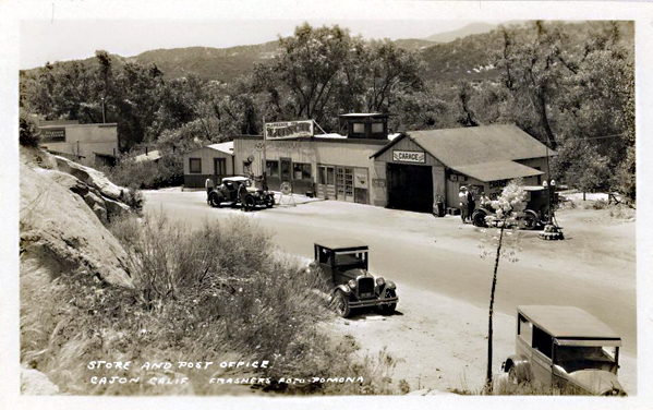
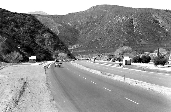
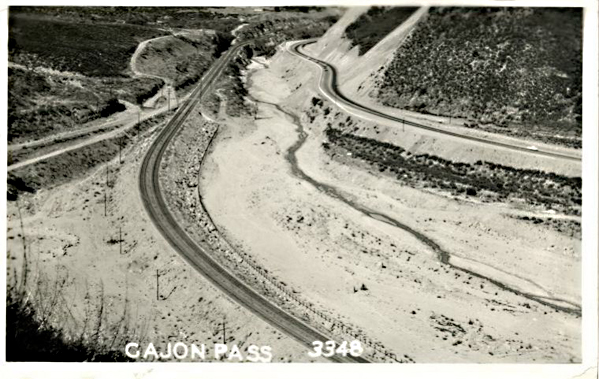
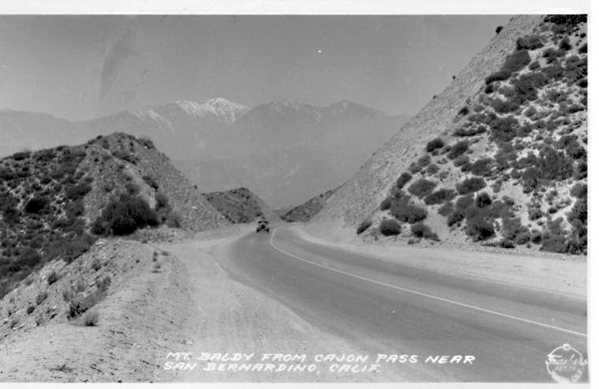
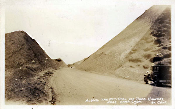
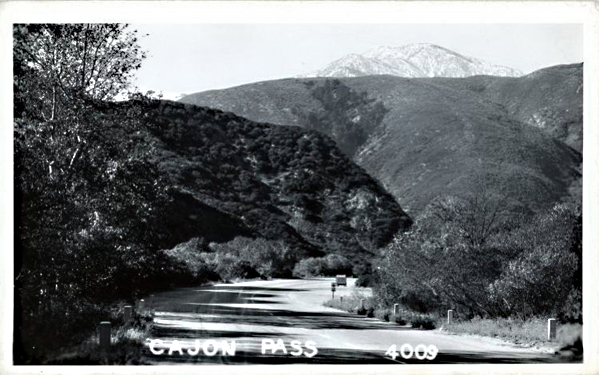
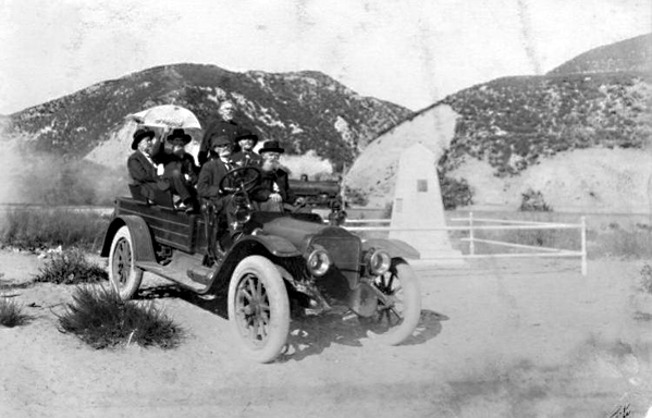
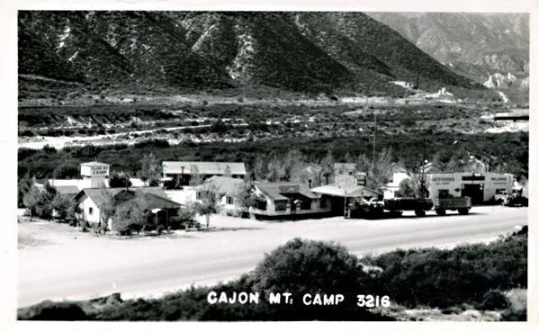
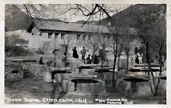
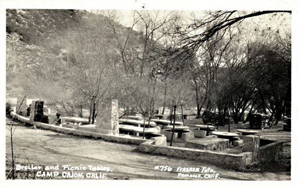
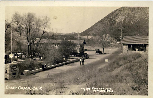
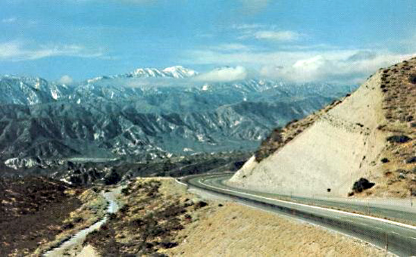
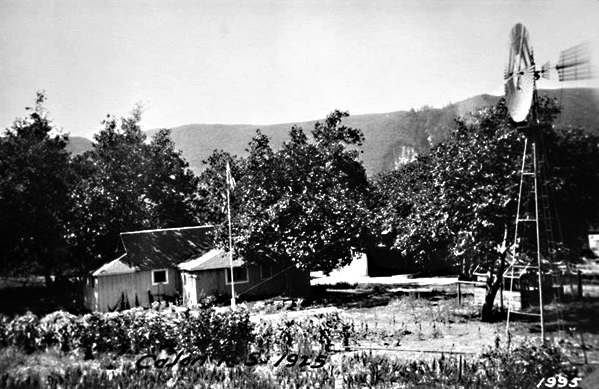
Vintage photos of the man-made features of the Cajon Pass. Assorted photographers, subjects, and eras, including Route 66, National Old Trails Road, Railroad, etc. . .

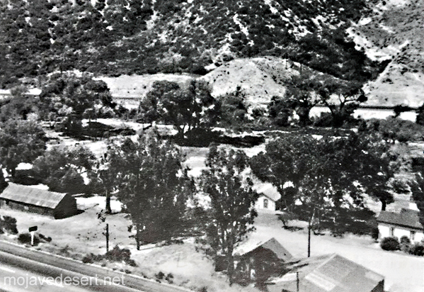
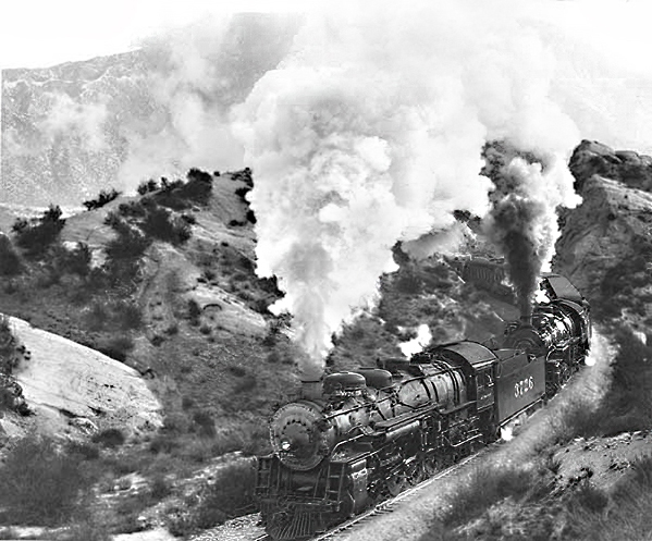



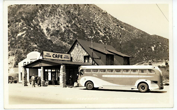
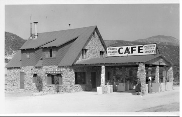
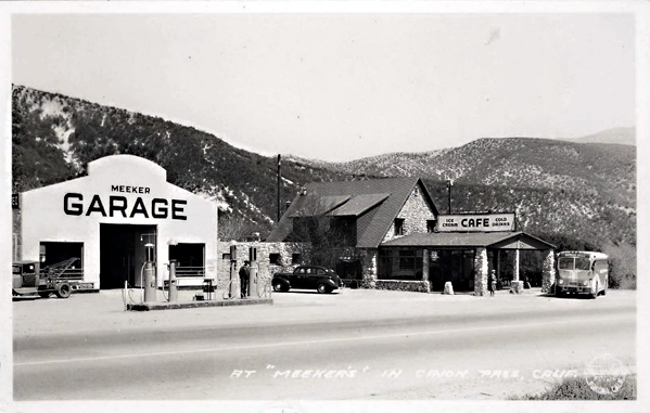
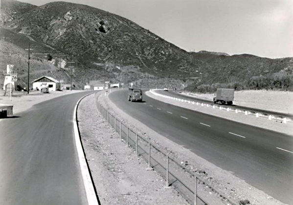

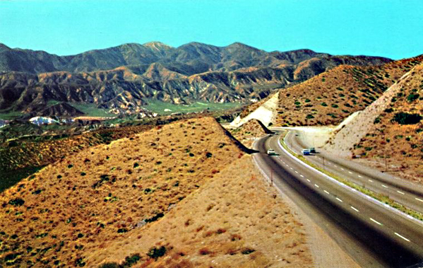
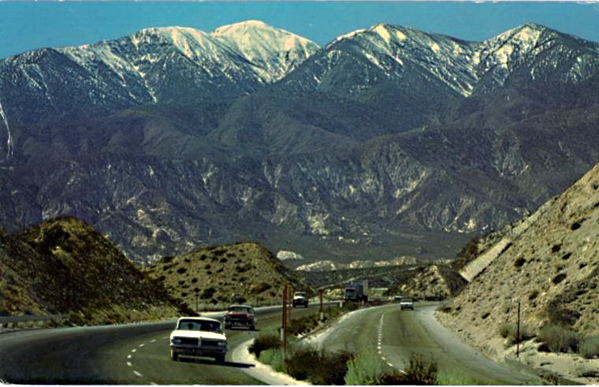
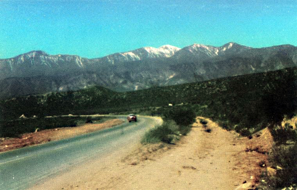
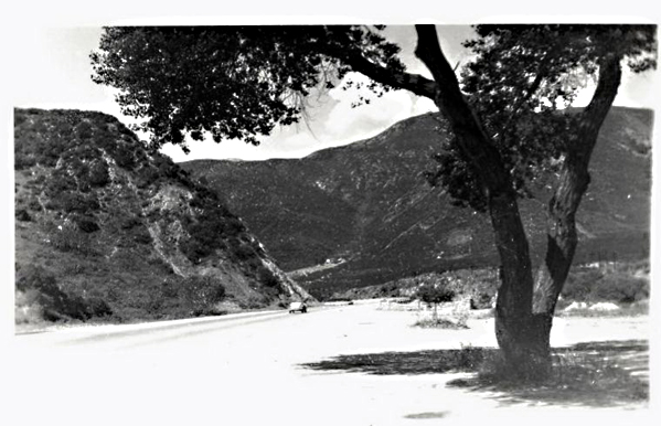

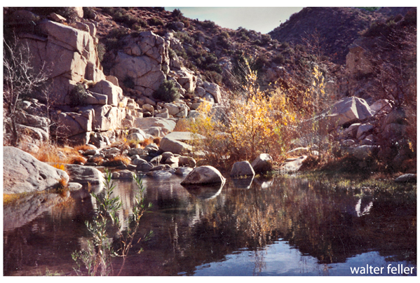
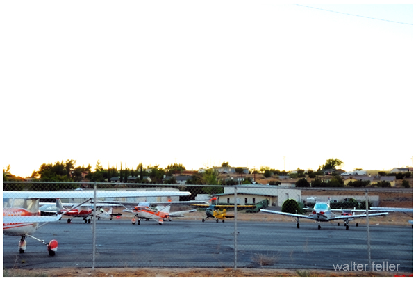
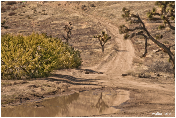
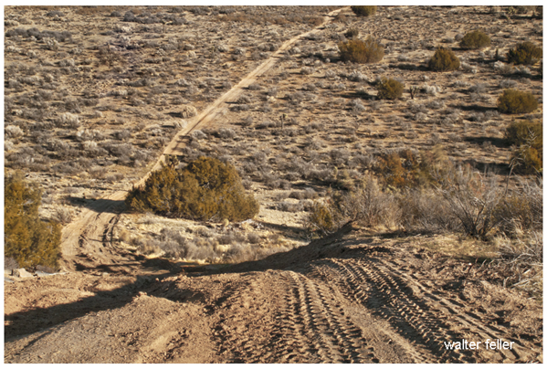


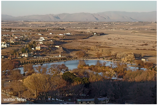
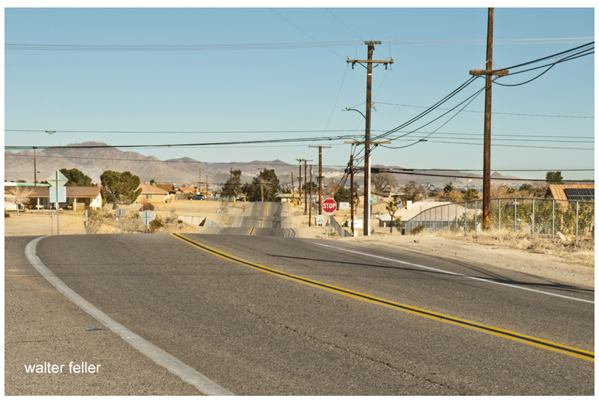
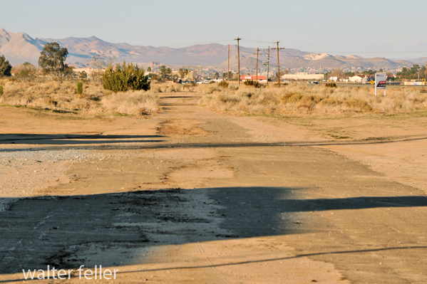


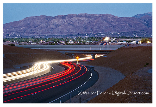
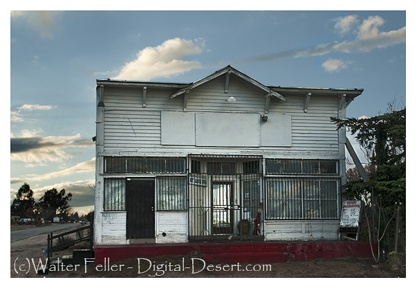
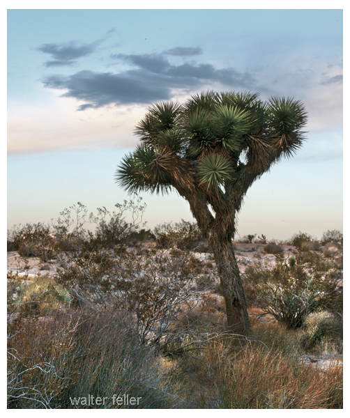
Crowder (Coyote) Canyon – Cajon Pass

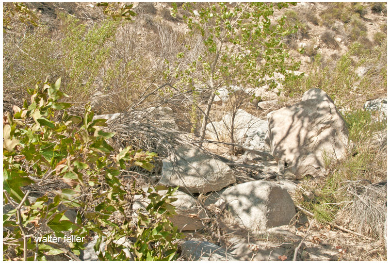

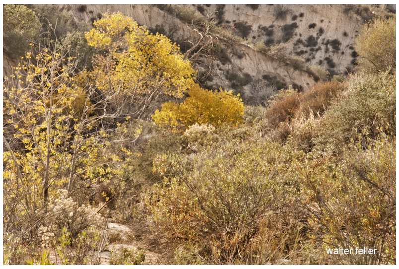
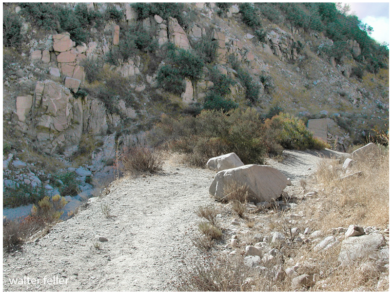
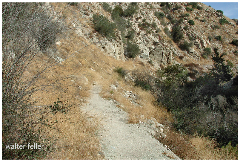
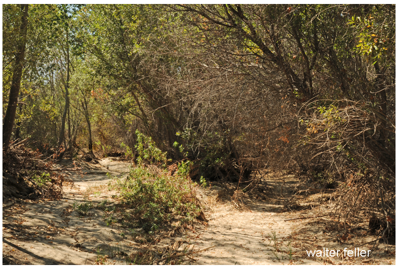

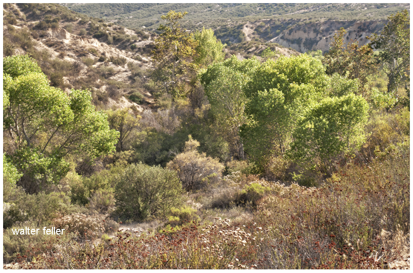
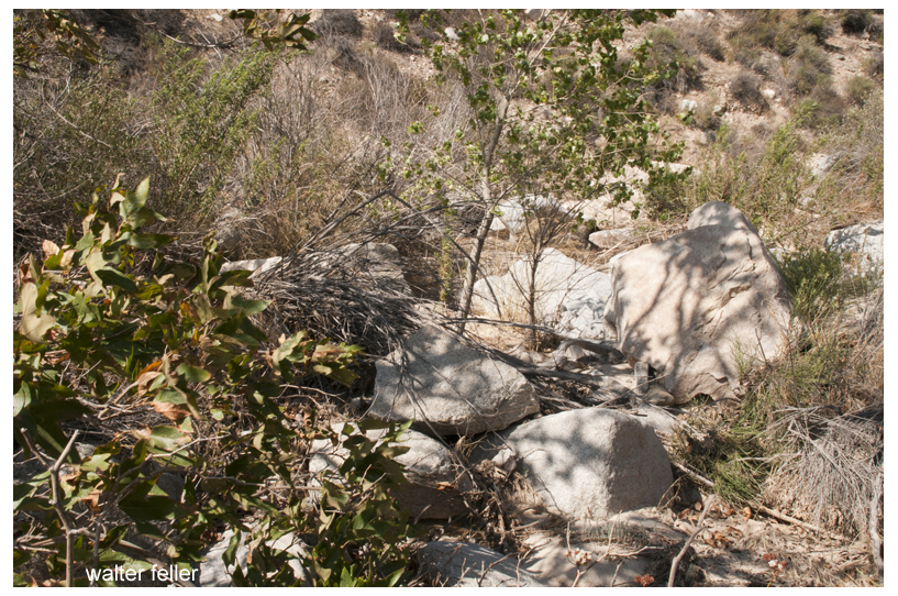
Shoshone, Ca. – 2005
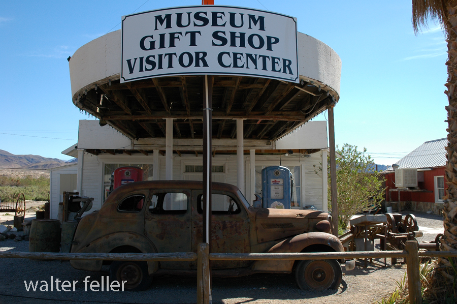
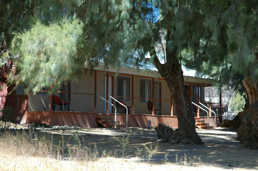
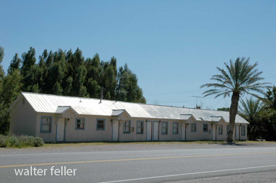
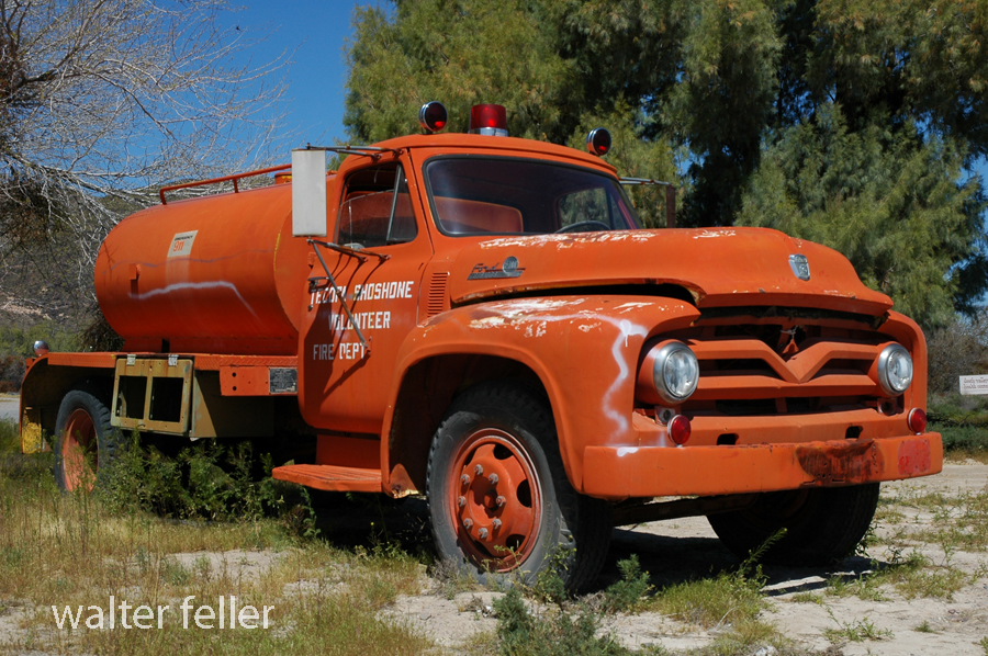
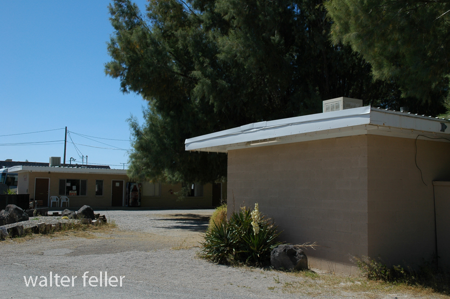
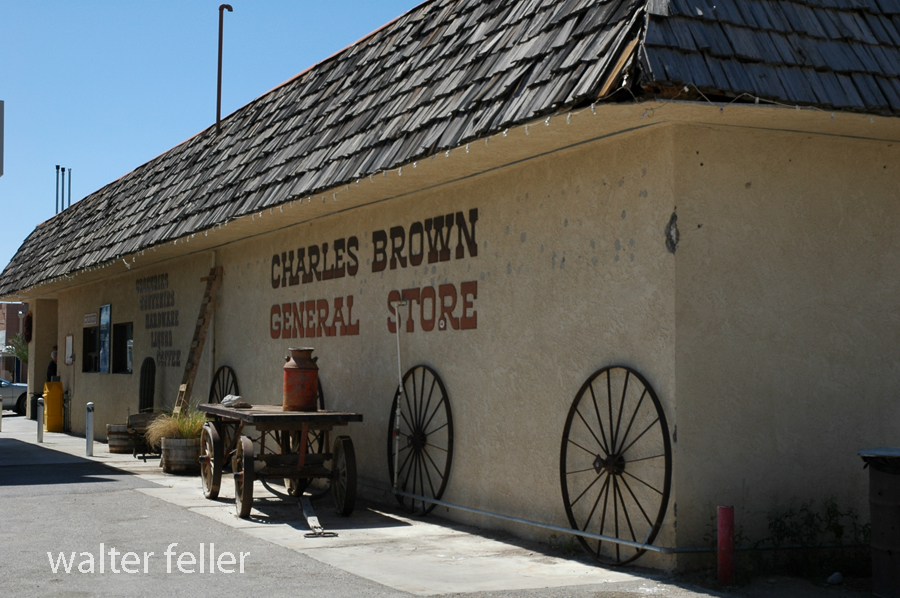
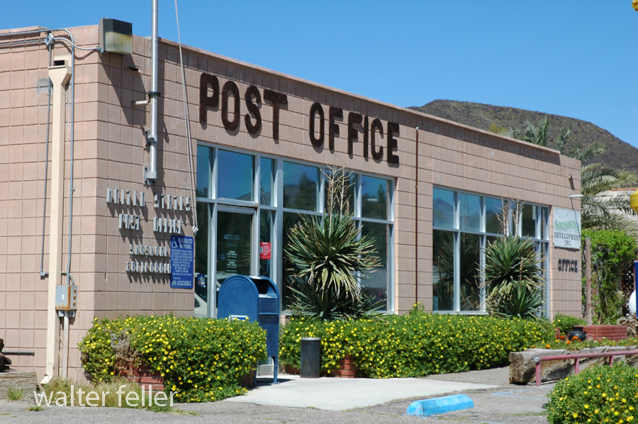
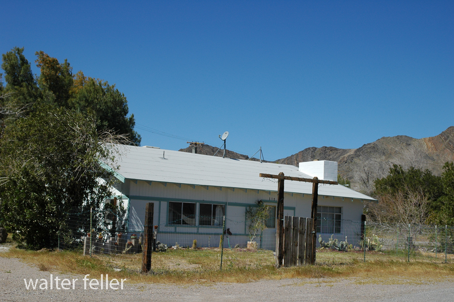
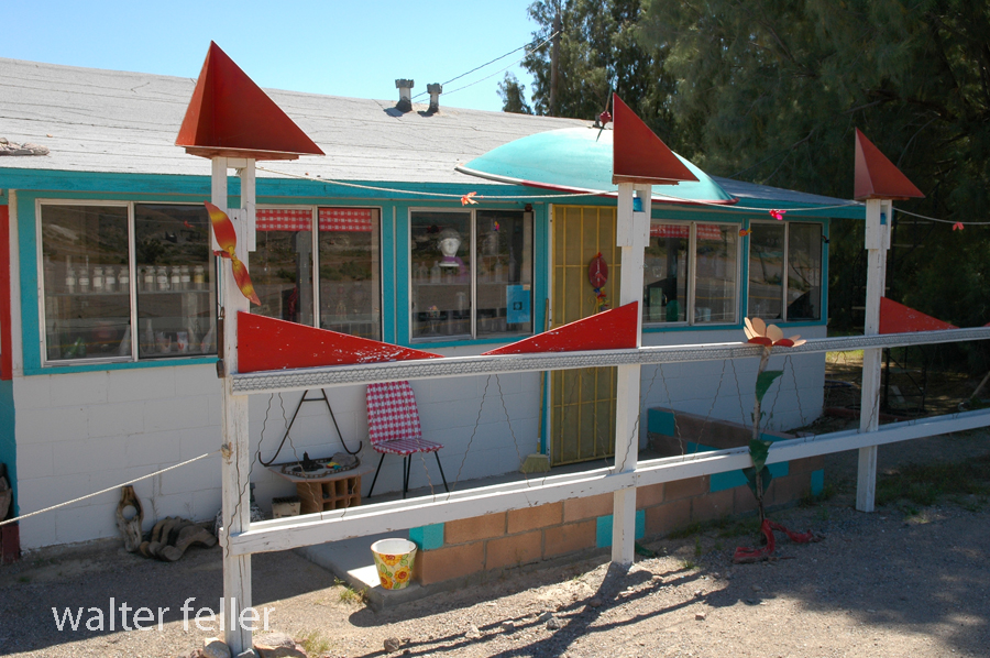
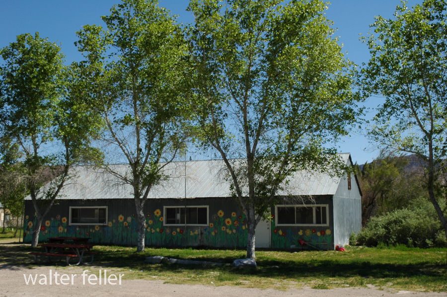


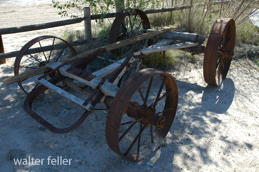
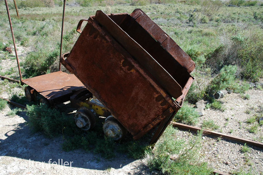
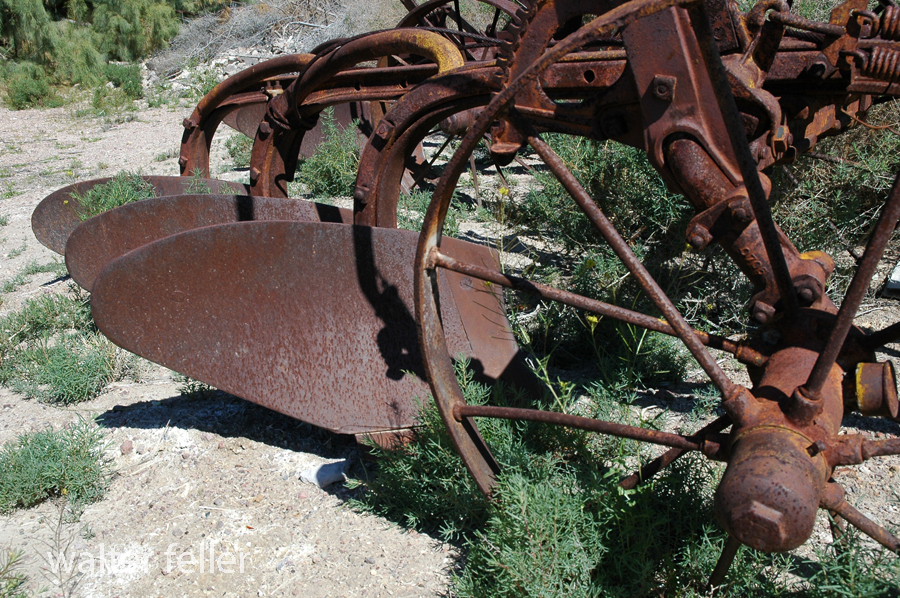

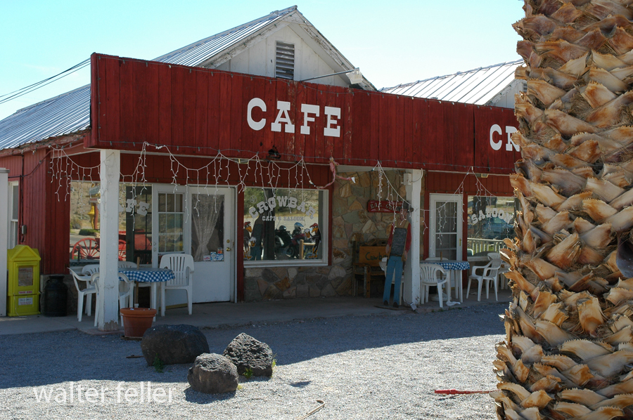
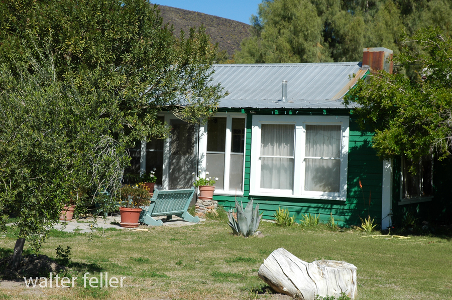
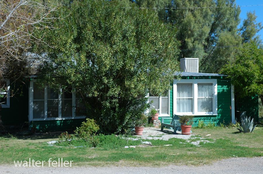

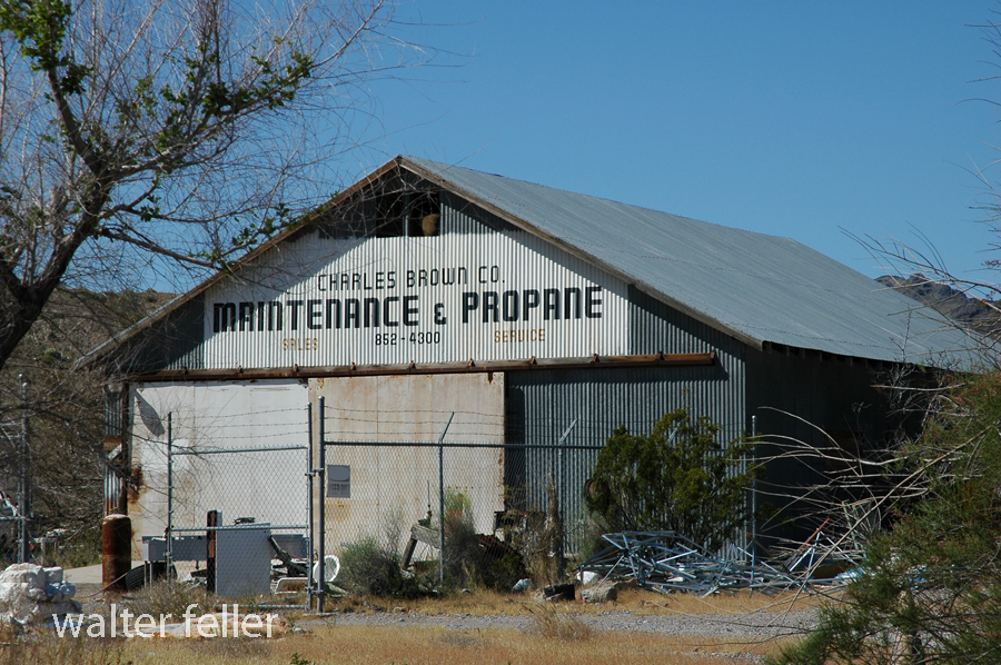
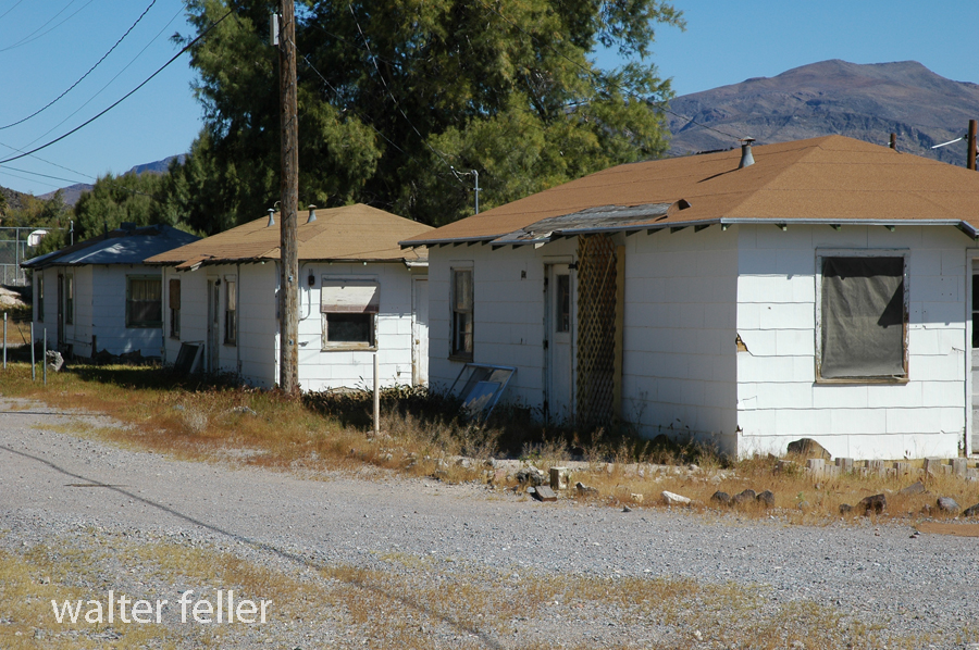
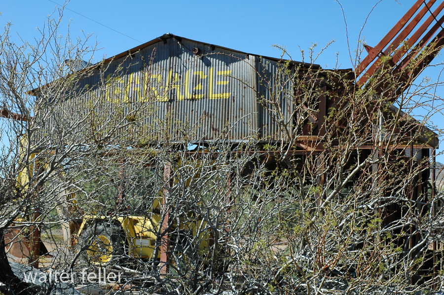
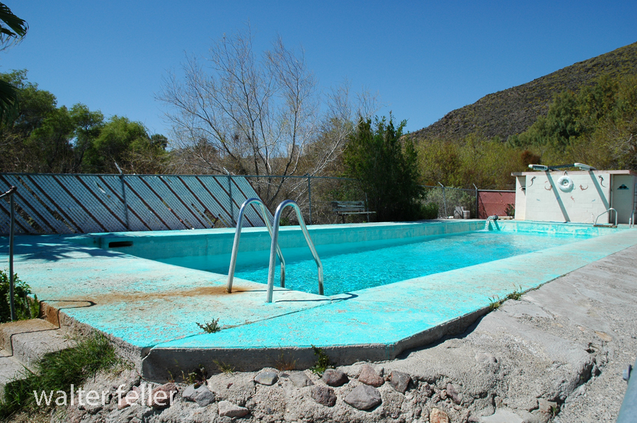
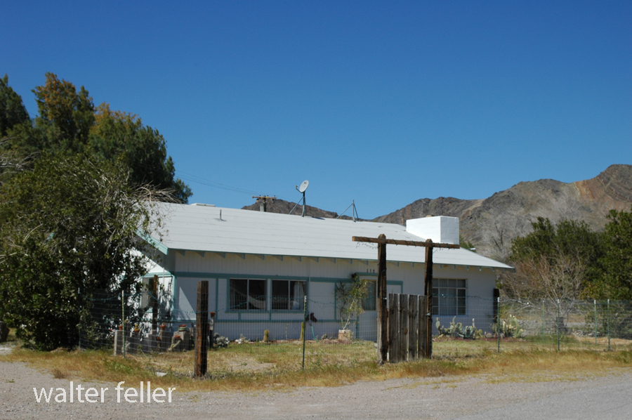
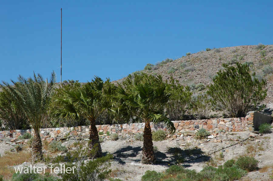
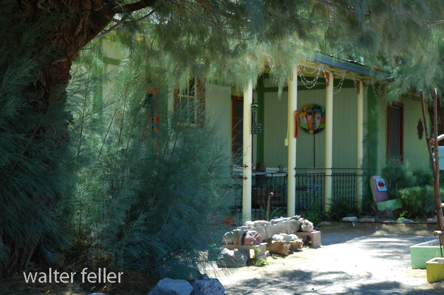
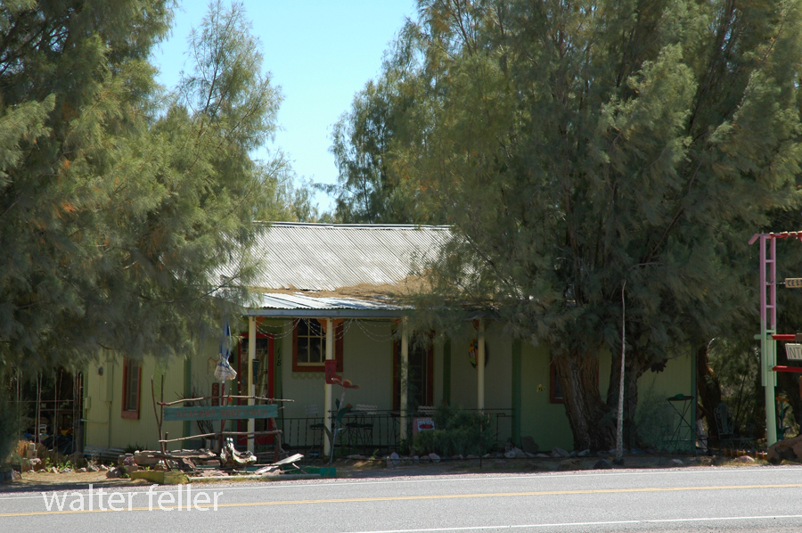
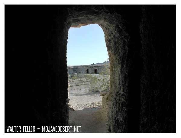
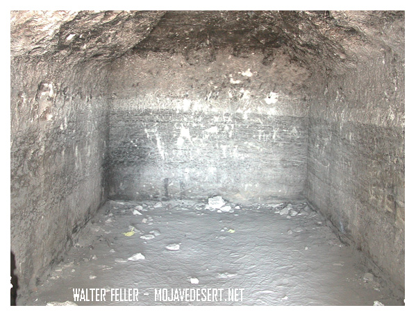
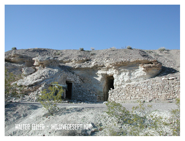
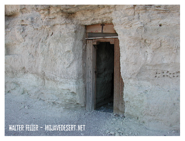
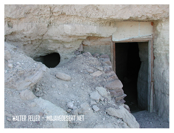
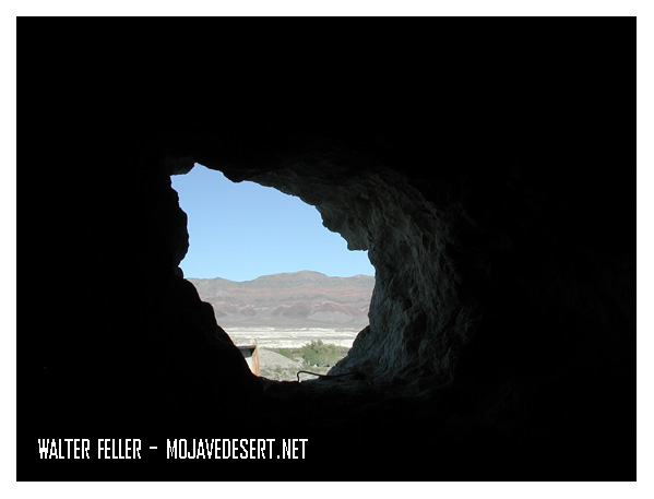
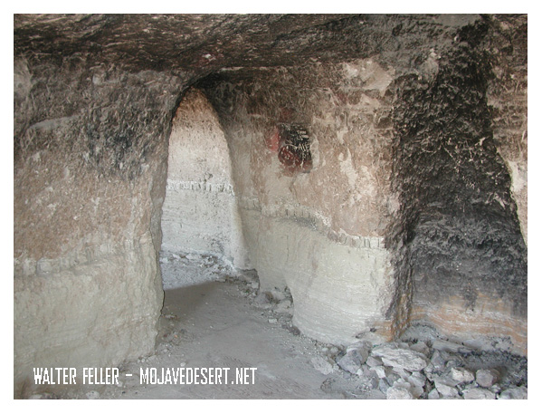
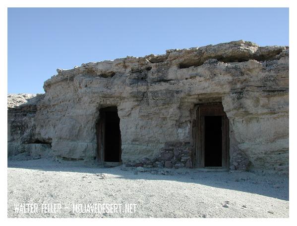
Dublin Gulch in Shoshone, California, is a rich historical site filled with the remains of unique cave dwellings. In the early 1900s, miners and other early settlers dug the caves into soft volcanic ash cliffs. The makeshift shelters protected them against harsh desert weather conditions and extreme temperatures.
These caves were the dwelling place for miners in nearby mines during the early 20th century. Over a certain period, it did take on a kind of community presence. Some of the dwellings even had windows, doors, and chimneys added to them, making them rather homely. Today, Dublin Gulch is a quirky historic site where, among other things, one can see the cave homes and feel what life in the desert must have been like over a century ago.
Dublin Gulch is situated near the small town of Shoshone, one of the important points that both travelers and miners had to pass through in the early 1900s. It lies close to Death Valley and several mining areas. A small piece of history, it offers a glimpse into the rugged, resourceful lives that were lived early on.
Dublin Gulch, Shoshone, Ca. – 2015
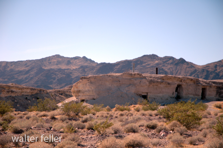
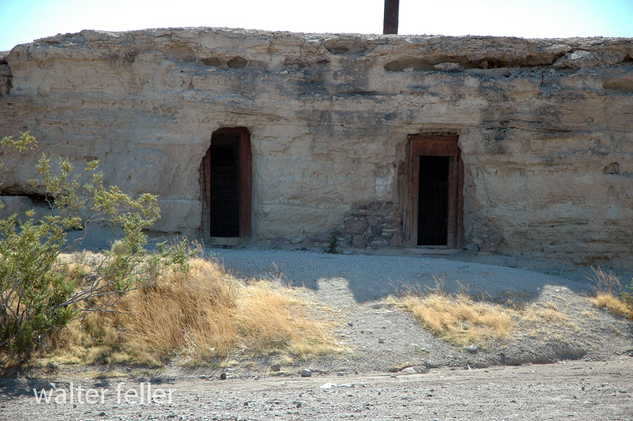

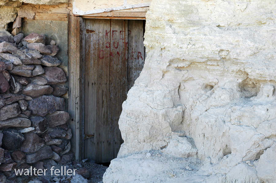
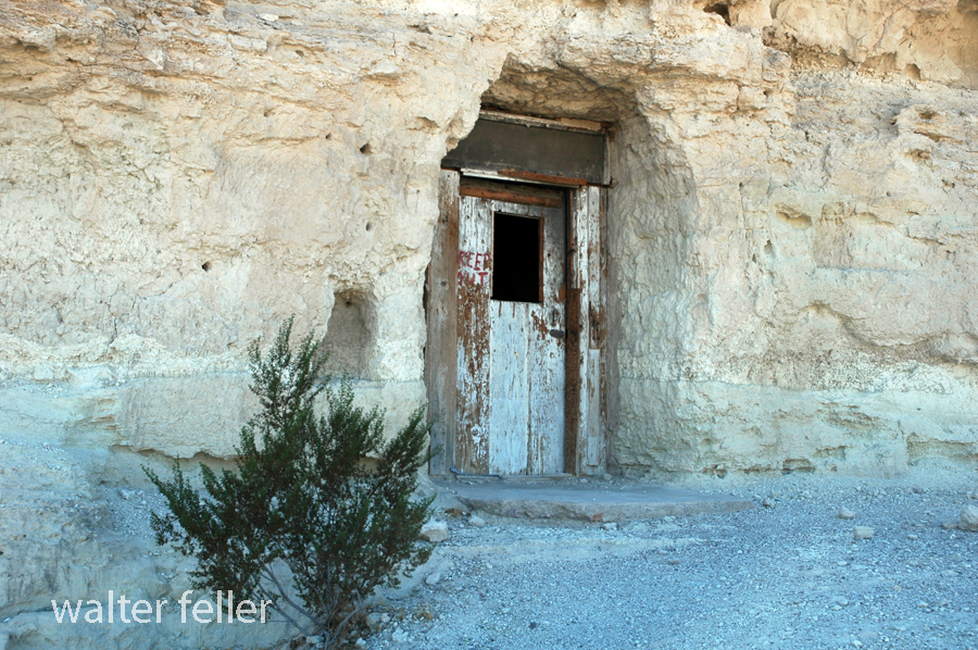
Dublin Gulch, Shoshone, Ca. – 2003
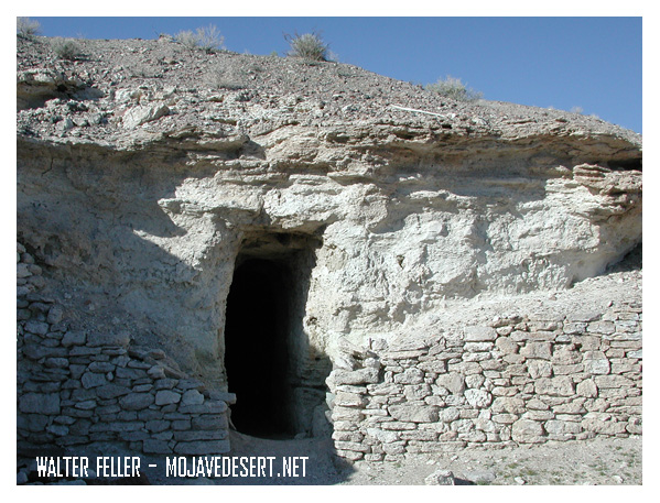

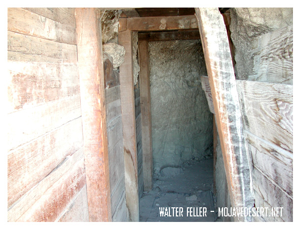
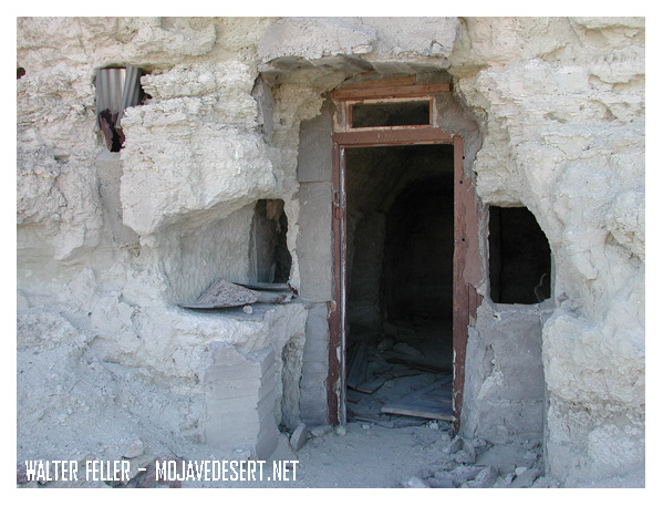
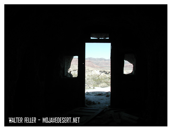
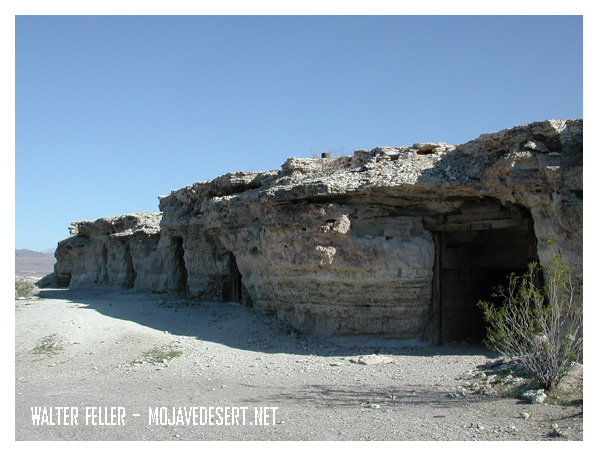
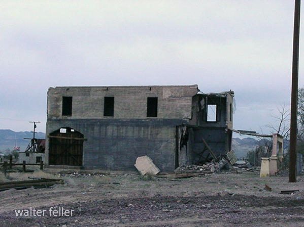
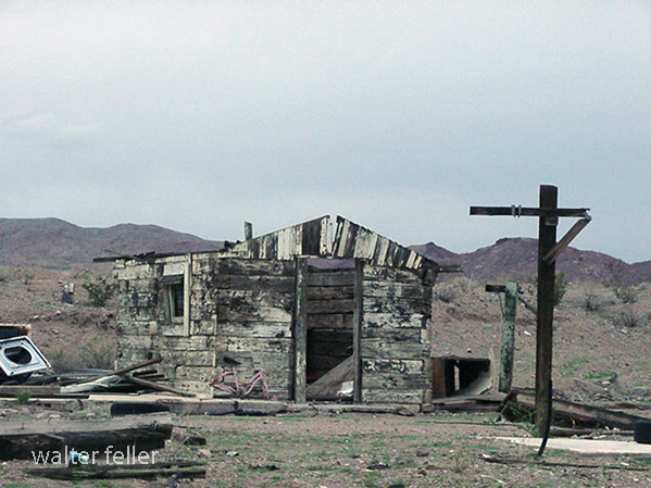
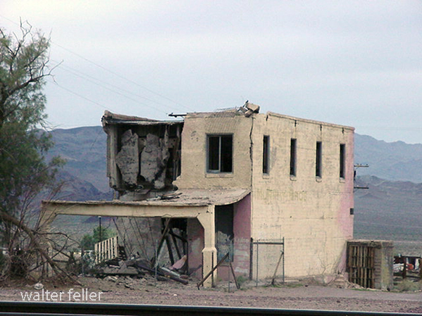
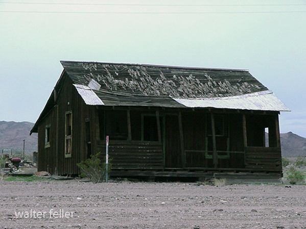
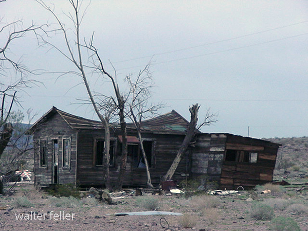
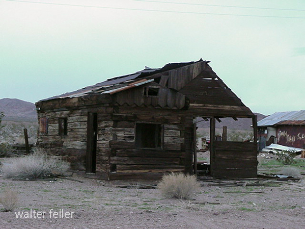
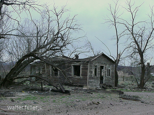
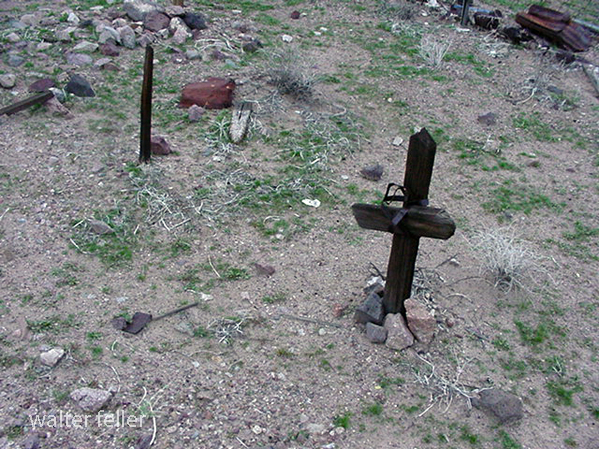
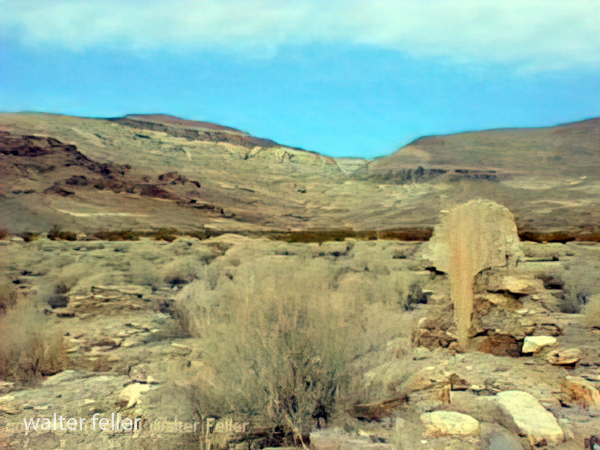
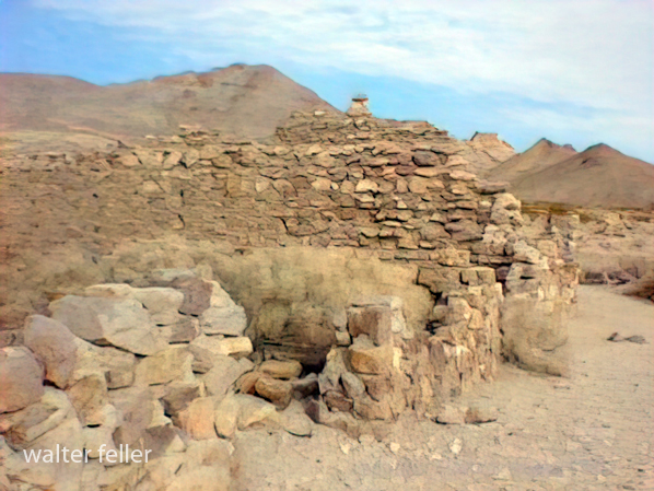
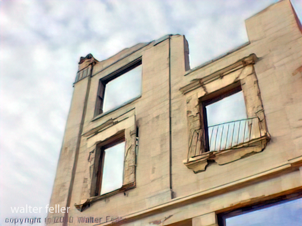
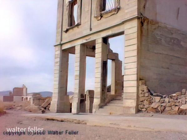
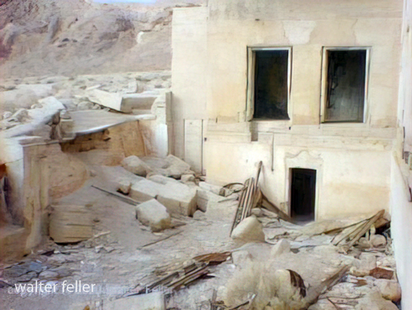
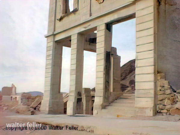
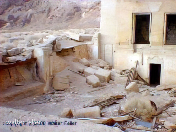
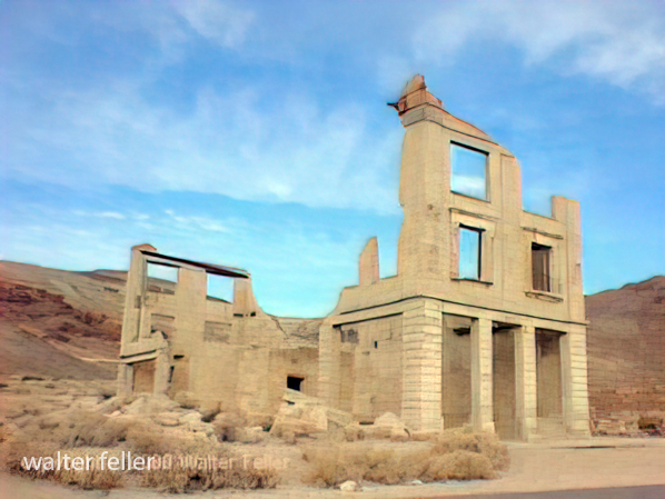
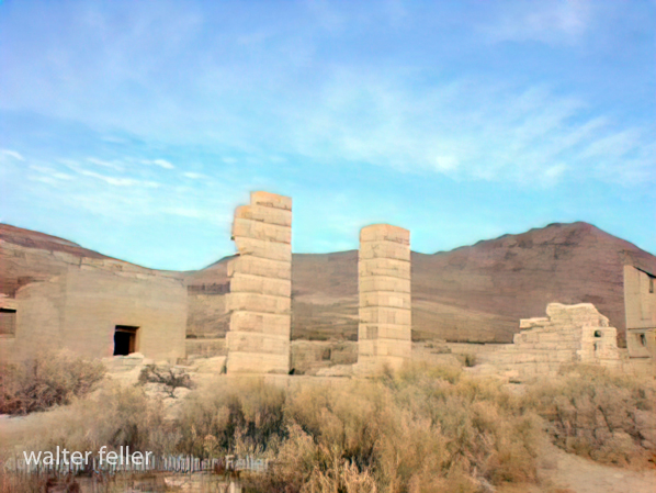
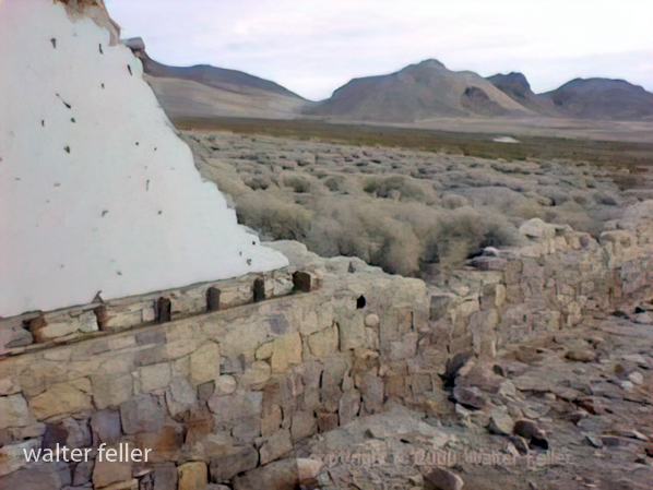
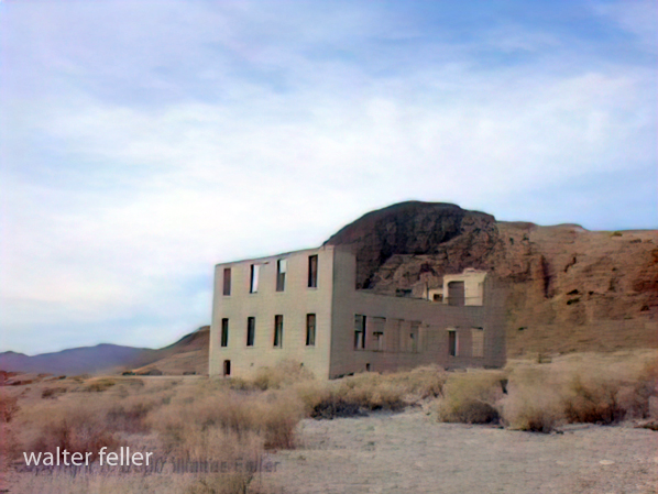
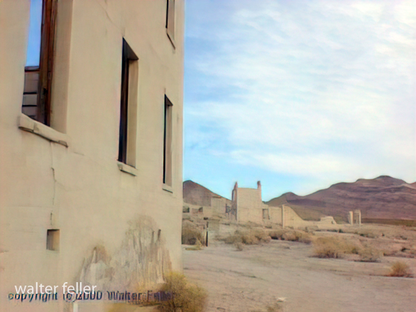
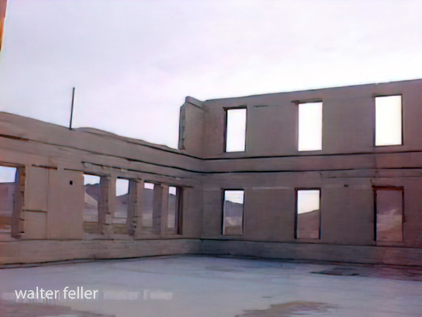
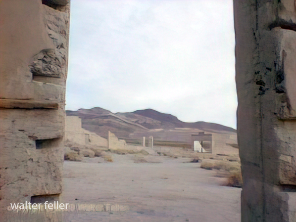
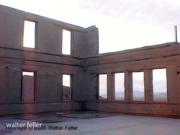
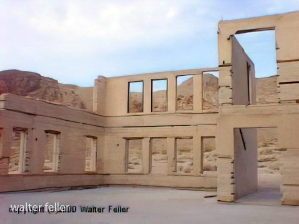
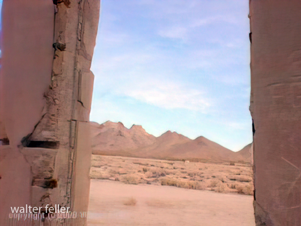
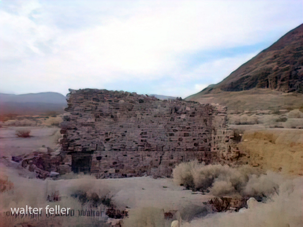
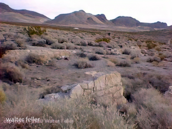
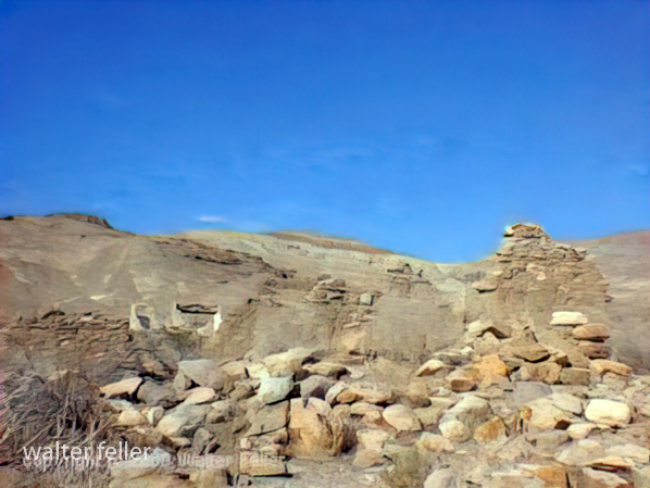
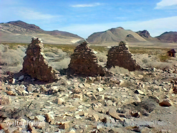
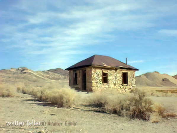
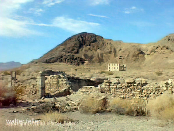
Photos of Rhyolite, Nevada – 2000


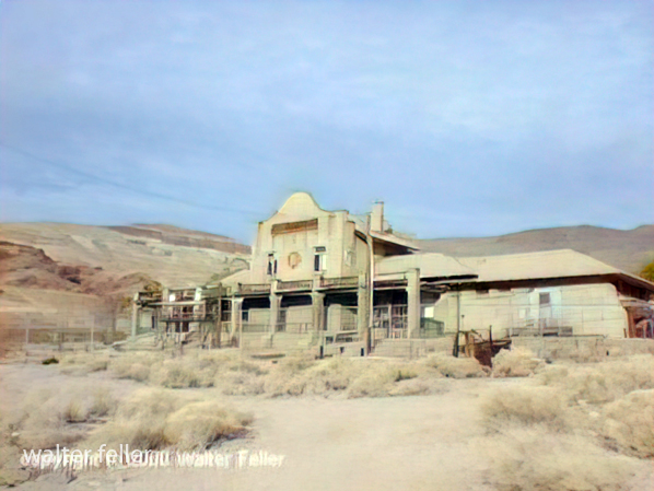
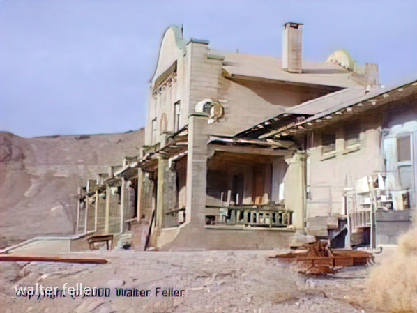
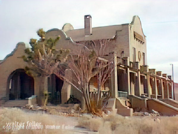
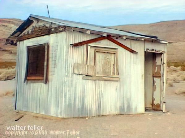


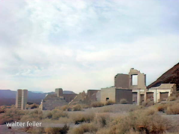
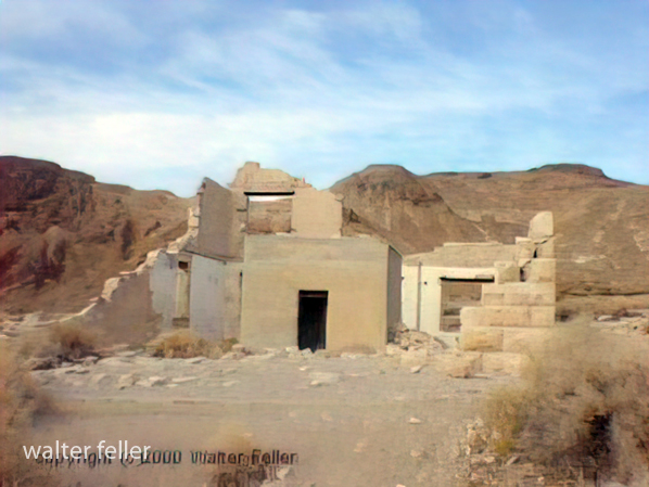
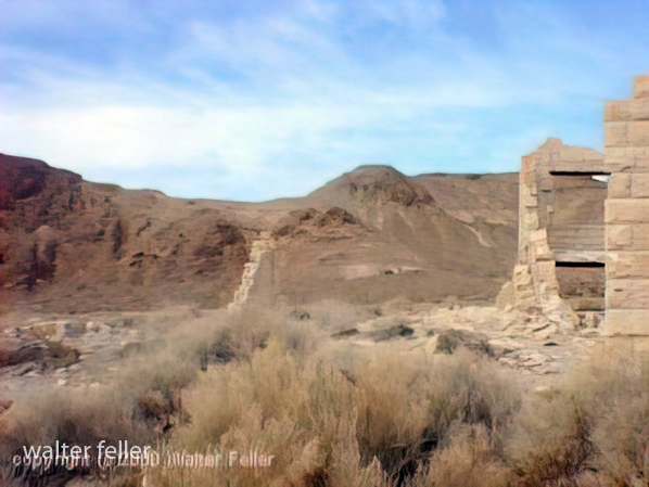
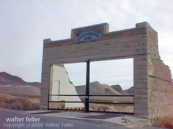




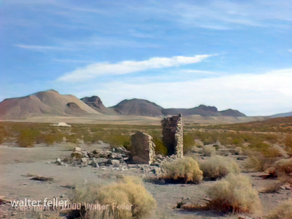


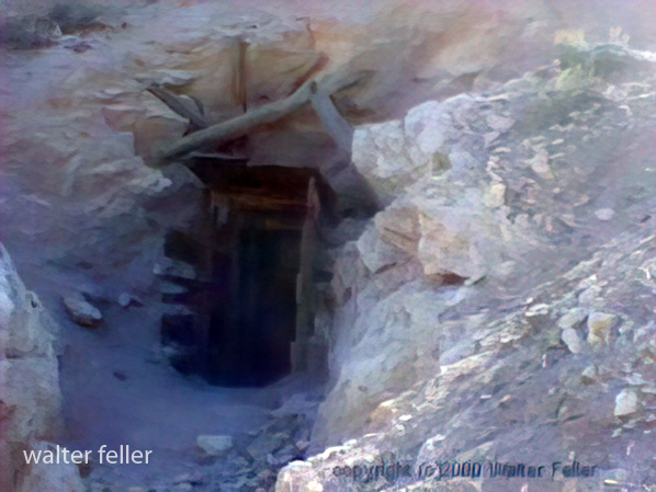

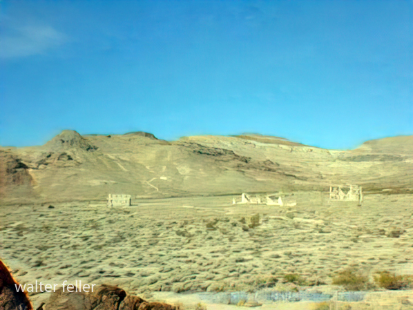
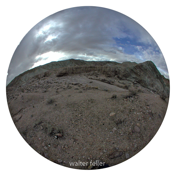
Owl Canyon – Nikon 990 – 180 fisheye lens – 11/2015

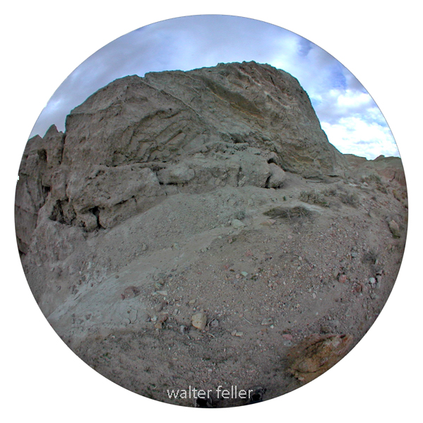

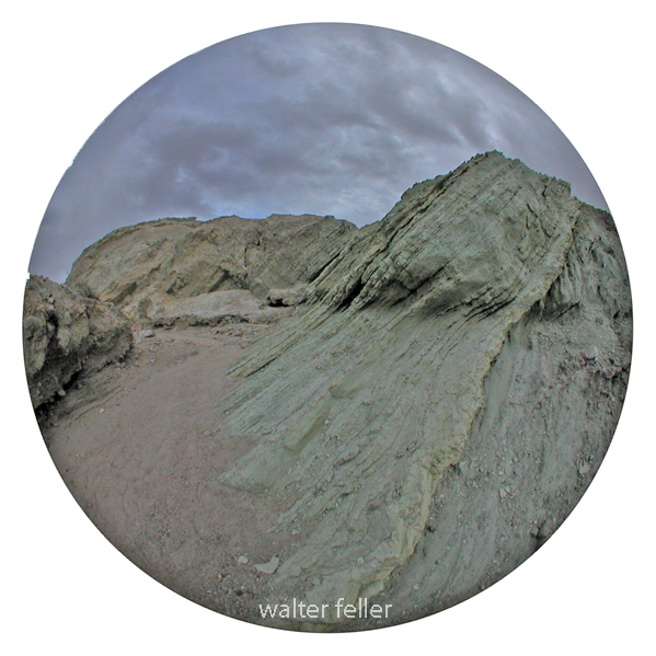

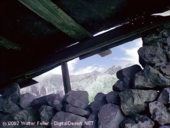
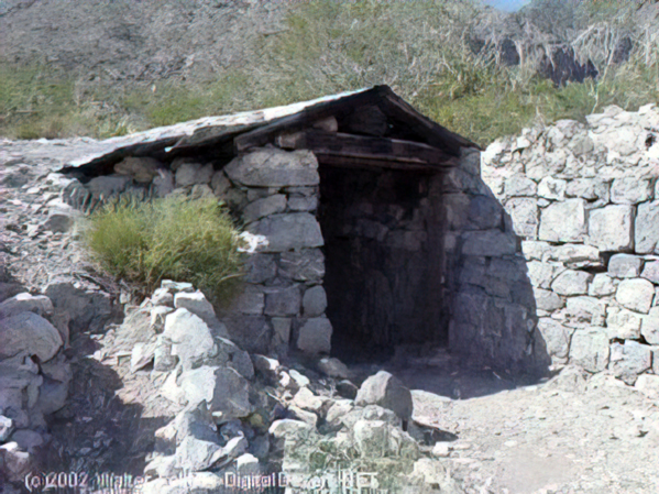
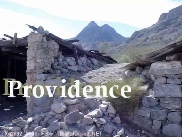
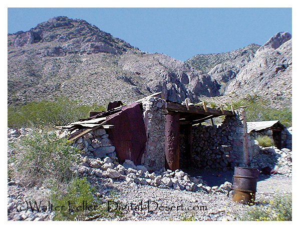
These photos were shot in 2003 with a Sony Mavica digital camera. Unfortunately, the original full-size (still low resolution) photos were lost. These images have been recovered from 320×240 images that were posted on the Digital-Desert website.
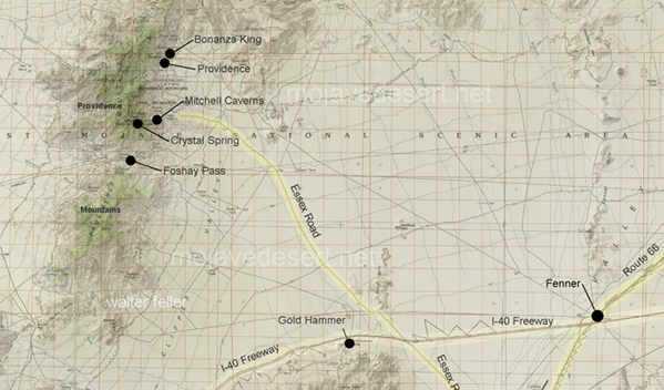
“In the spring of 1880, George Goreman and P. Dwyer, prospectors from Ivanpah, discovered rock that assayed from $640 to $5,000 a ton in silver. Their discovery, about 15 miles south of the old Macedonia District, was the birth of the Bonanza King Mine.”





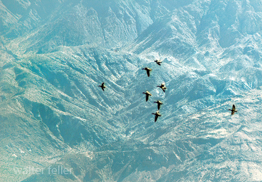
Canada Geese at Saratoga Springs, Death Valley National Park

Owl Canyon
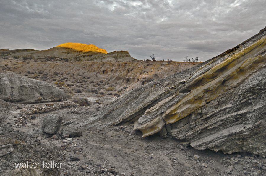
Owl Canyon
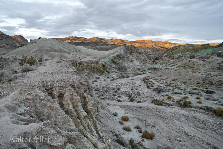
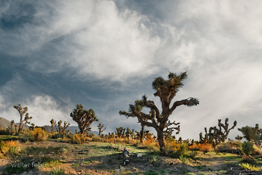
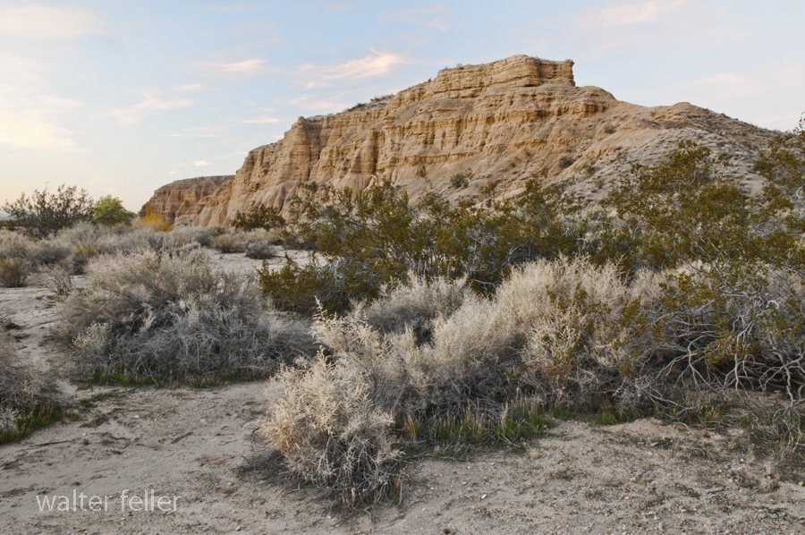
Ambient Sunrise
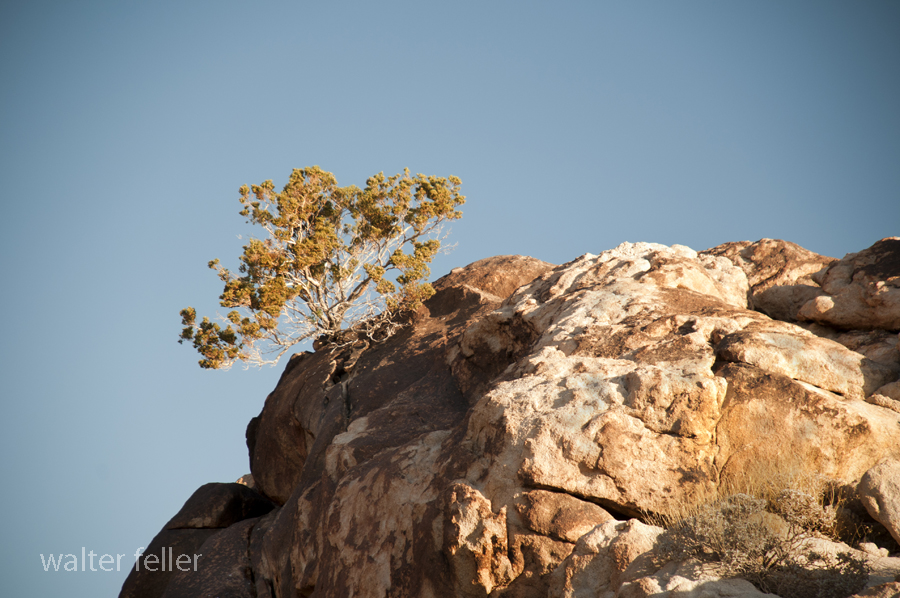
Coxcomb Mountains
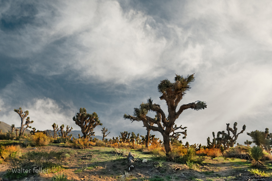
Apple Valley – Joshua Tree Forest
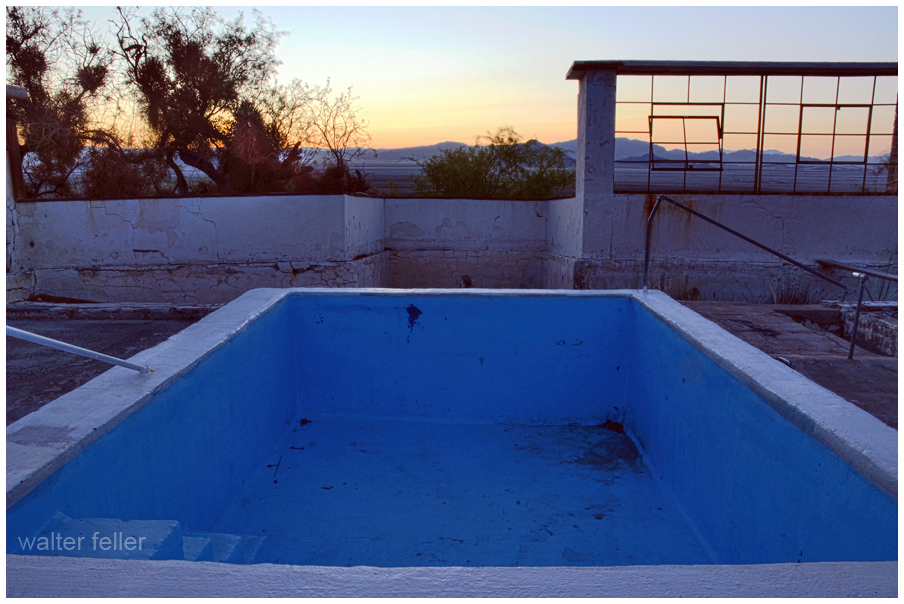
Zzyzx – Desert Studies Center
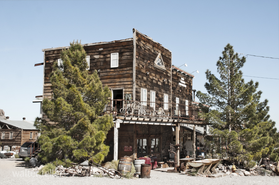
Techatticup Mine – Eldorado Canyon, Nelson, Nevada – 3/2015
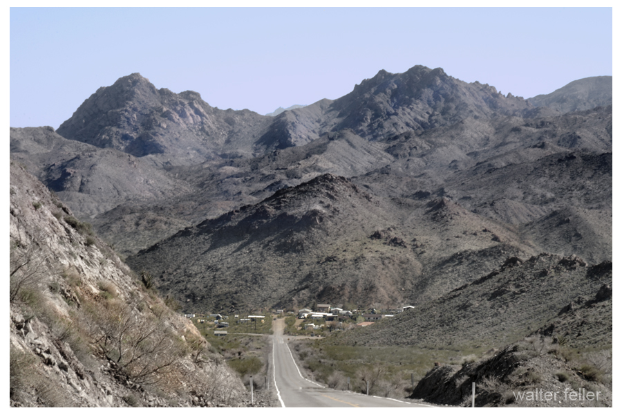
Nelson, Nevada – 3/2015
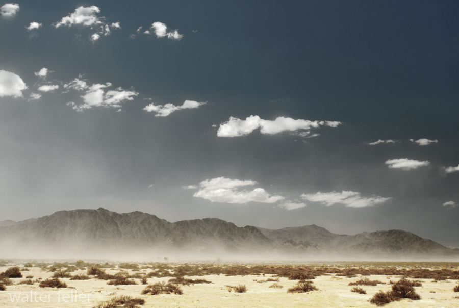
Lucerne Dry Lake
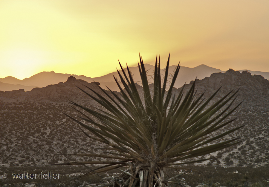
Tomorrow’s Sunrise

Wild Places – Cougar Buttes
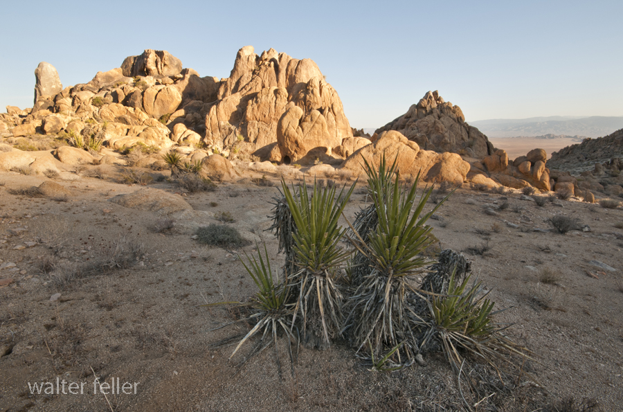
The high country is different than the low country. The high country is higher and of course the low country, lower.
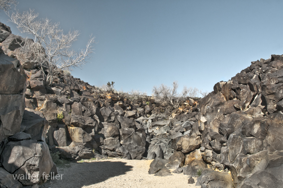
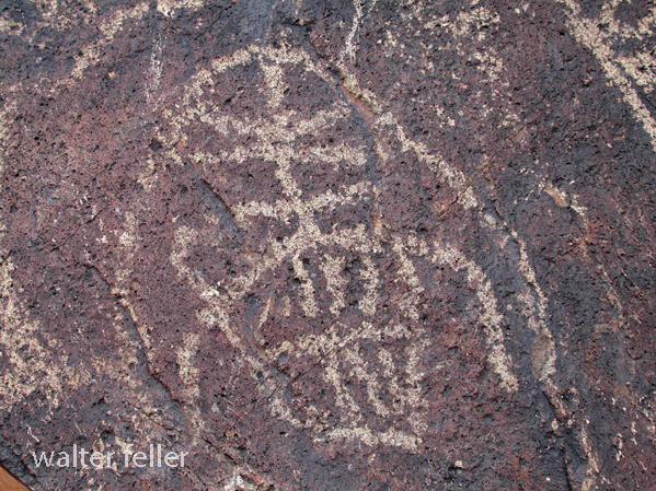
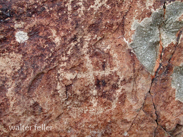
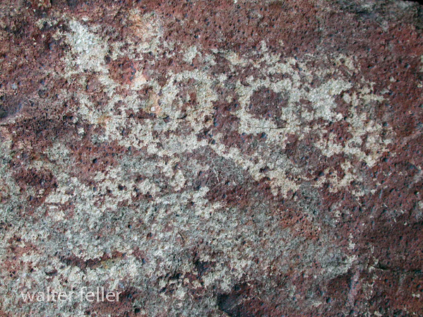
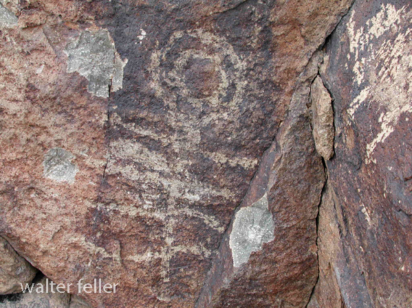
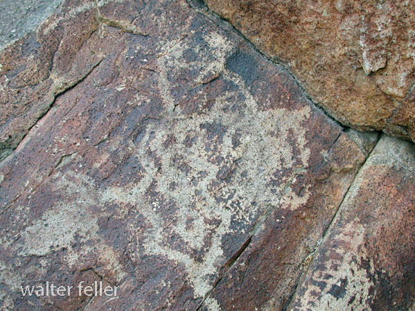
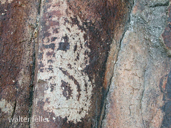
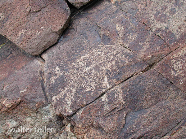
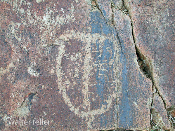
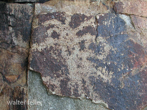
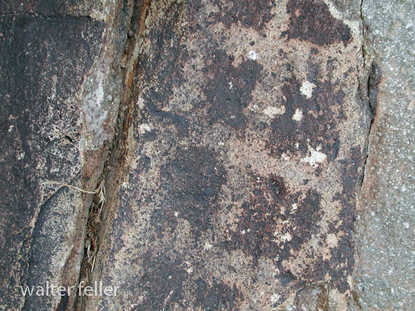
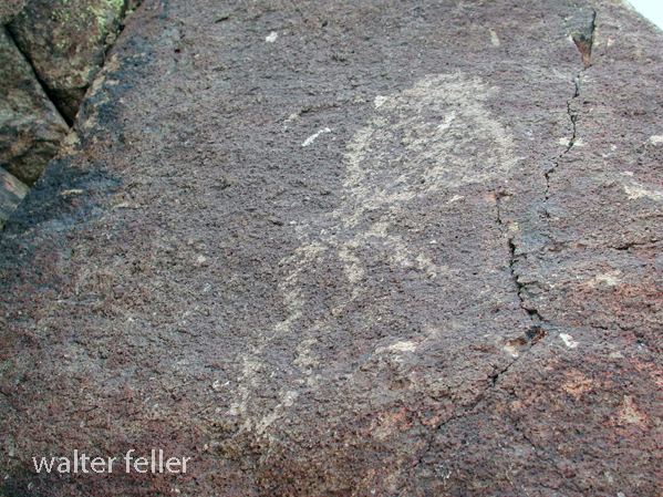
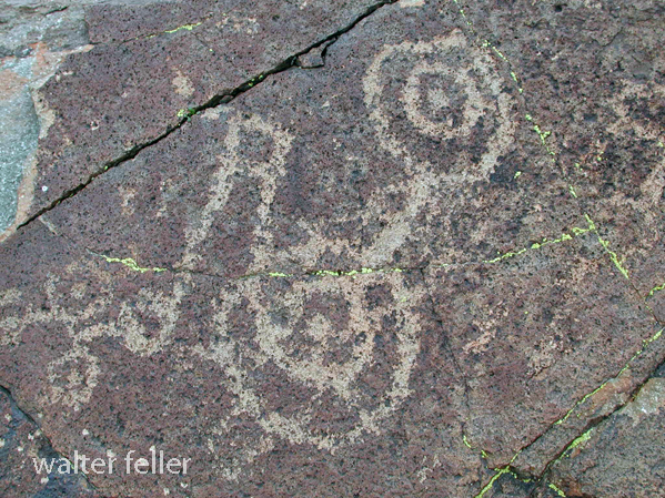
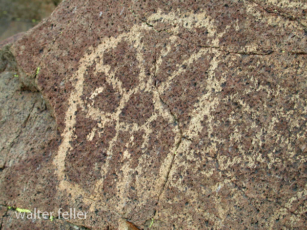
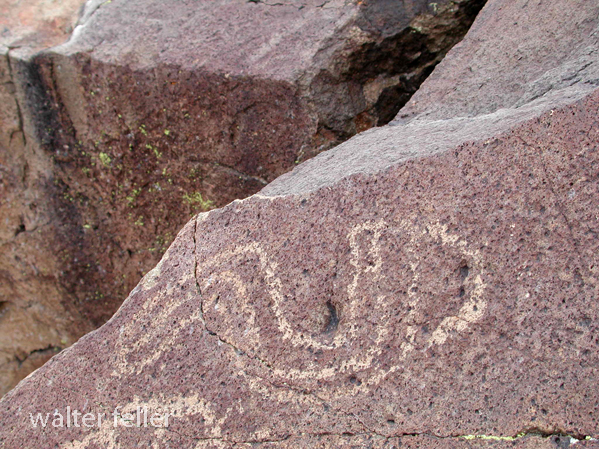
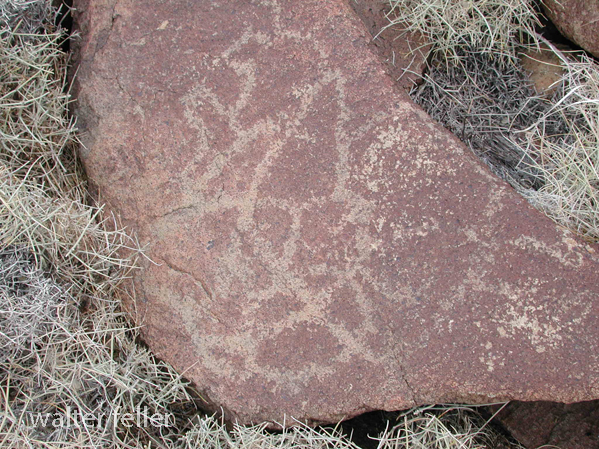
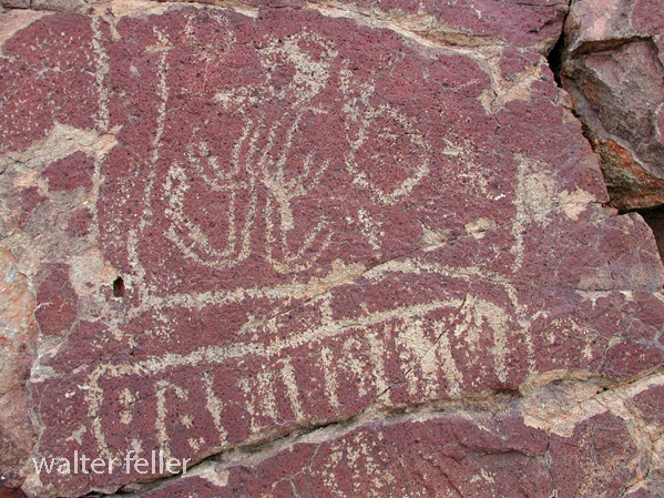
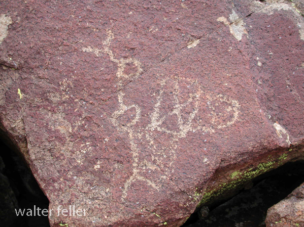
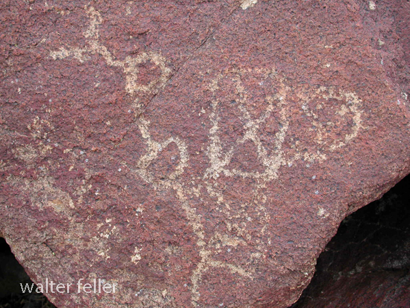
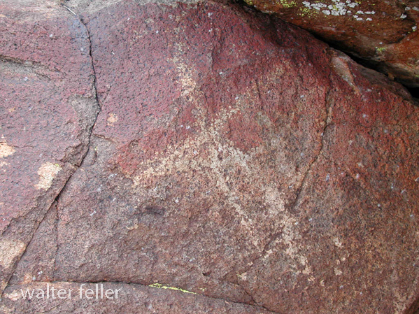
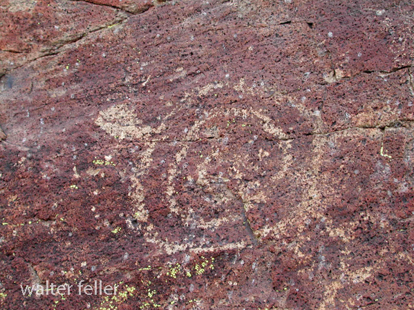
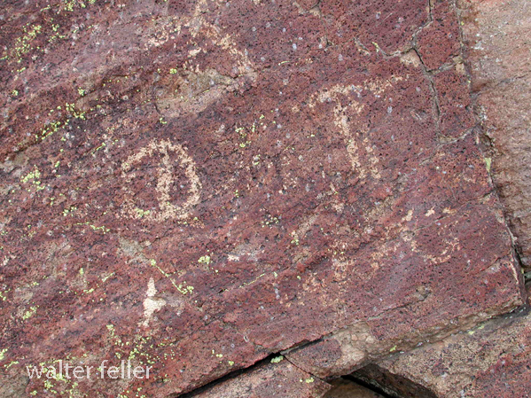
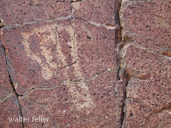
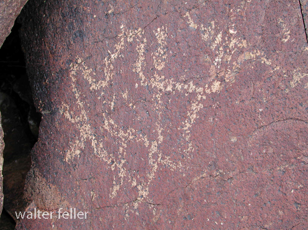
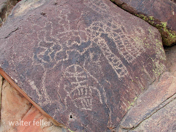
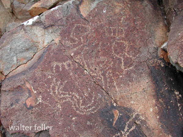
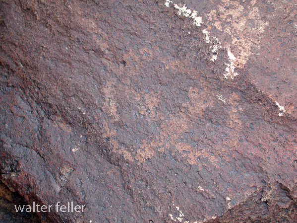
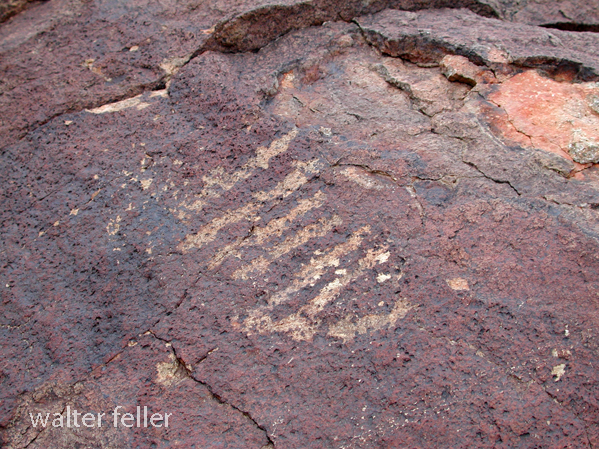
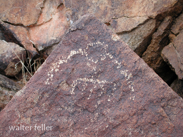
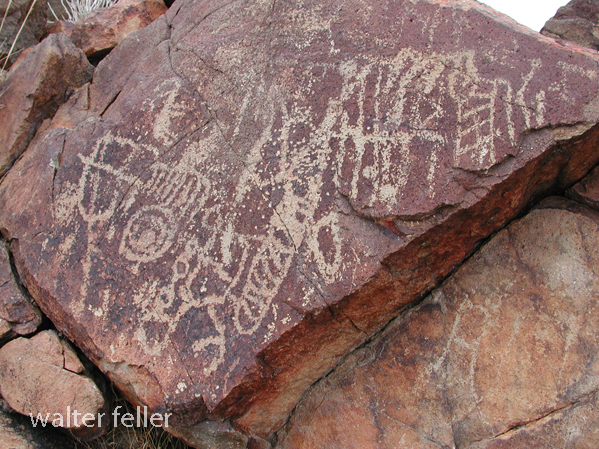
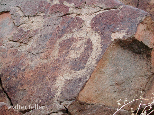
Petroglyphs – February 2011
These maps are based on a USGS 1901 base map and overlay onto a current street map. This series was developed to show how the dependence on potable water for man or beast shaped the transportation network in the late 19th Century.
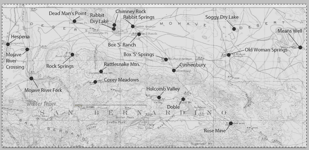
This map identifies various geographic locations, general features, and roads throughout the Lucerne & Johnson valleys as it was in 1901.
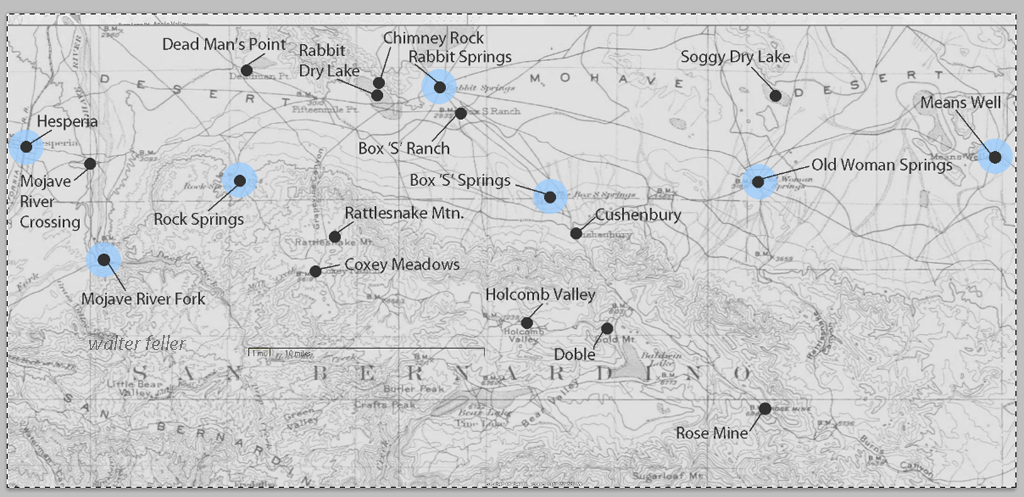
The blue marks show reliable water and rest stops as would be used by travelers and teamsters. These water stops are roughly 10 miles apart as the roads go.
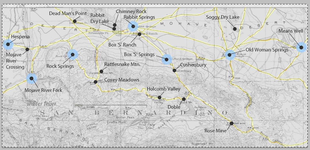
The generalized trails connecting the water and rest stops are highlighted. A few redundant and miscellaneous trails have been purposely omitted for clarity.
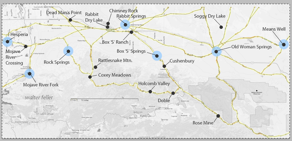
This map has had the 1901 base map replaced with a current street map.
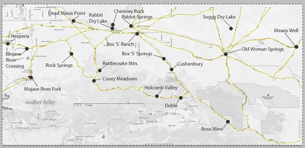
This map has had the water node locations removed.
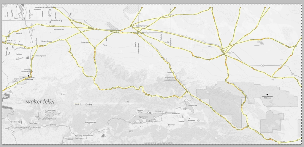
Finally, the 1901 trails have been highlighted and the location labels removed for clarity in showing the relationship between the roads then and now.
Soggy Dry Lake – Johnson Valley

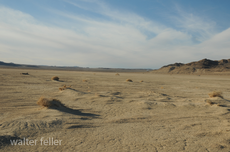
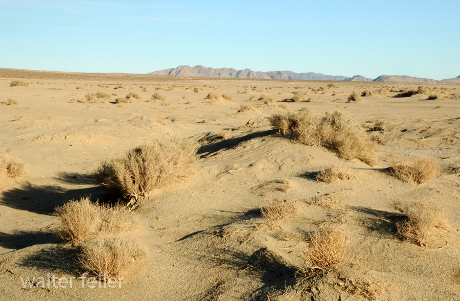

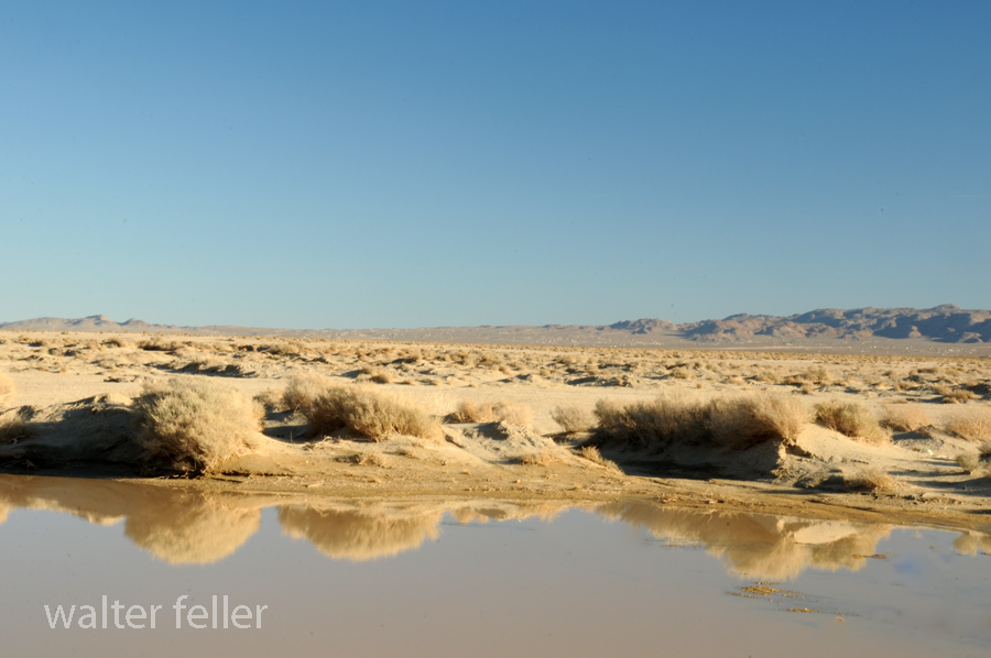
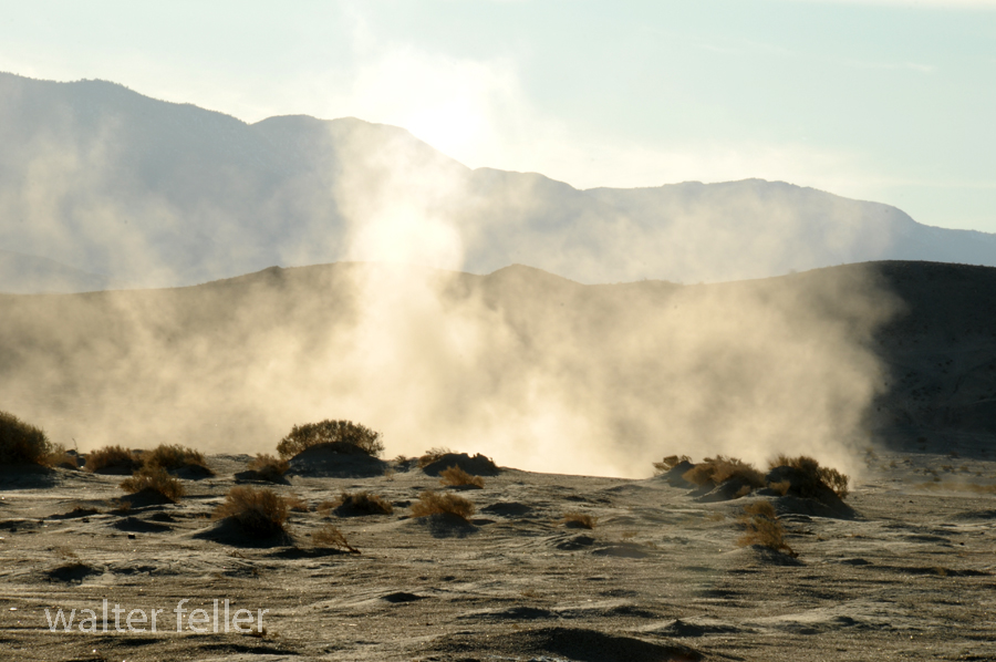
Playa formation – “A playa is a dry, vegetation-free, flat area at the lowest part of an undrained desert basin. It is a location where ephemeral lakes form during wet periods, and is underlain by stratified clay, silt, and sand, and commonly, soluble salts. Playas occur in intermountain basins throughout the arid southwestern United States. Although playas may appear as featureless plains, they are rich in features and characteristics that can reveal information about climates, past and present. “
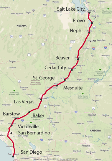
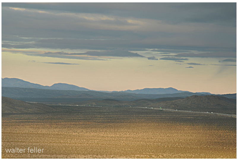
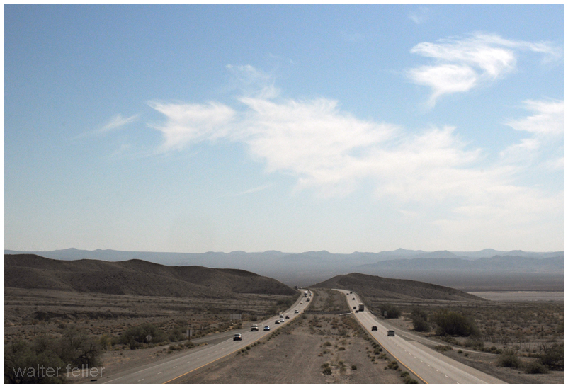
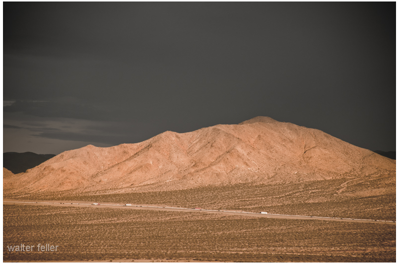
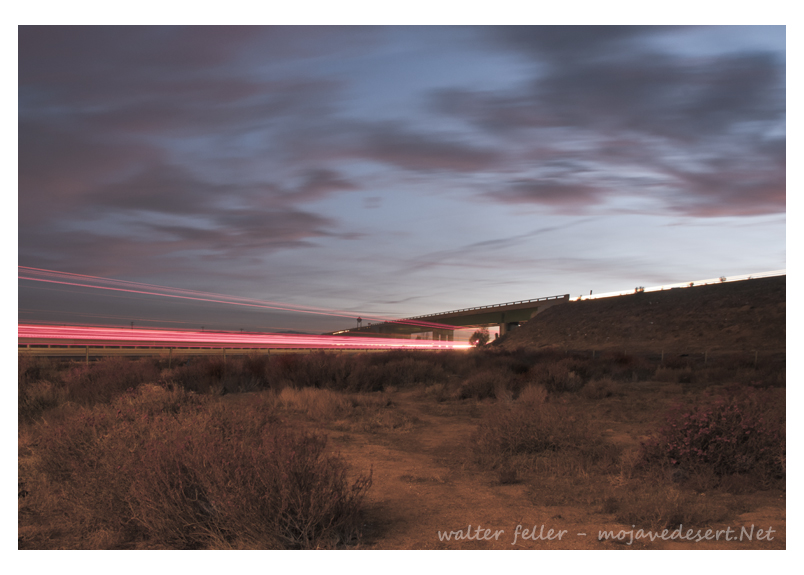
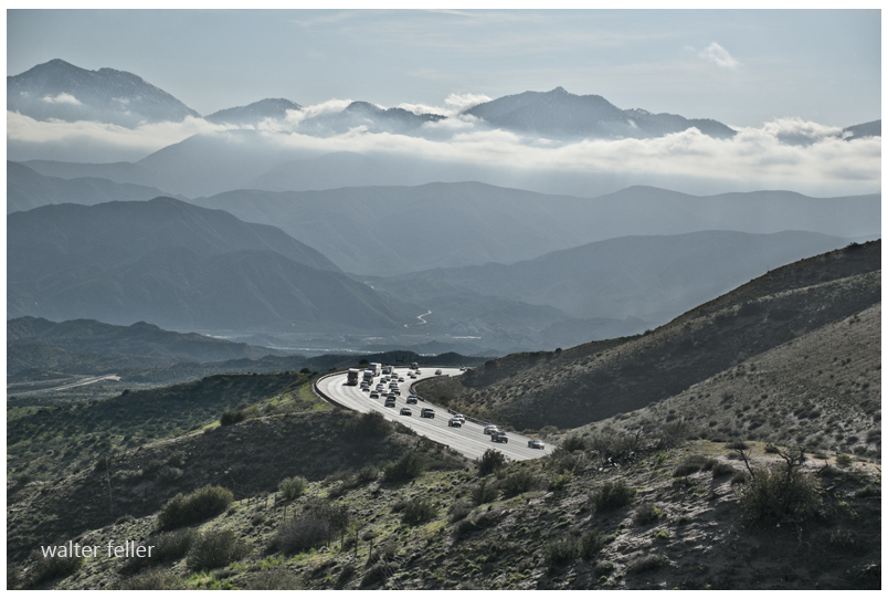
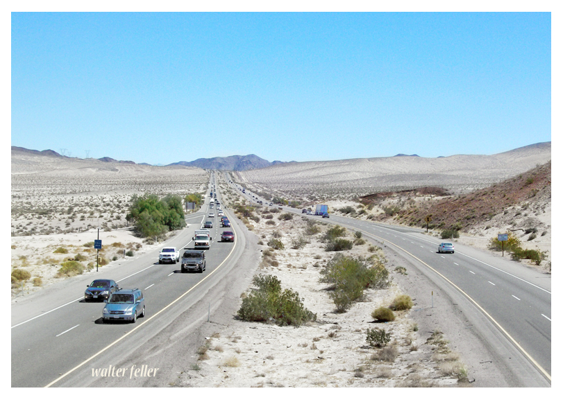
Interstate 15 Freeway, San Diego to Salt Lake – through the Mojave Desert
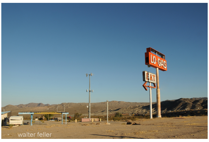



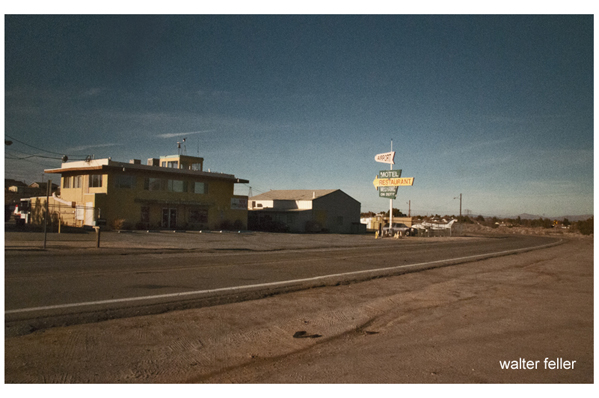
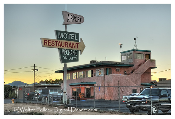
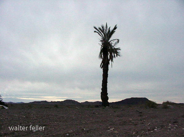
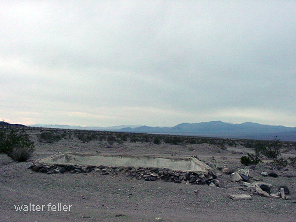
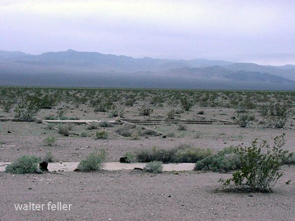
Siberia was originally a Santa Fe Railroad water stop and siding. When the National Old Trails Road and Route 66 passed by, service stations, cafes, and tourist camps operated out of there, providing the desert traveler comfort, fuel, and mechanic services. (Photos 2001)

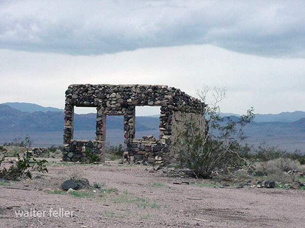


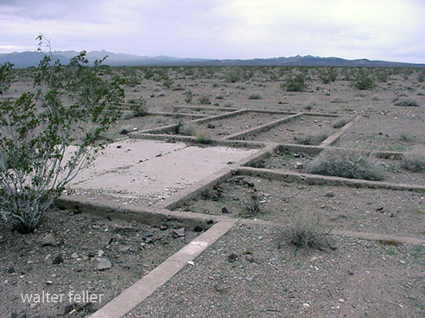
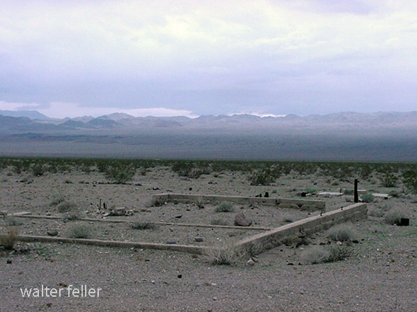
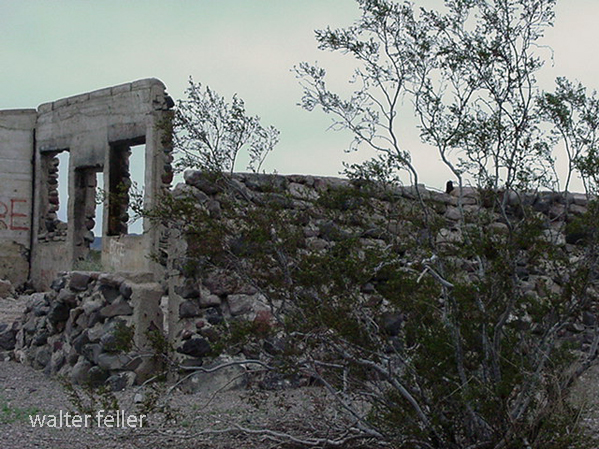
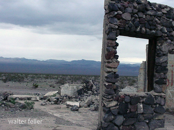
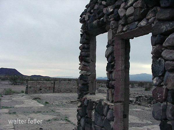
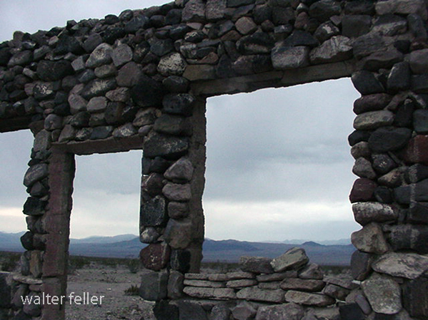
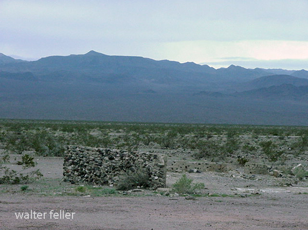
Leadfield Ghost Town, Death Valley
“Leadfield’s legacy is the road through Titus Canyon. A narrow, twisting canyon that would have been avoided by road builders any other time, but the reports of potential riches were too appealing. . . .




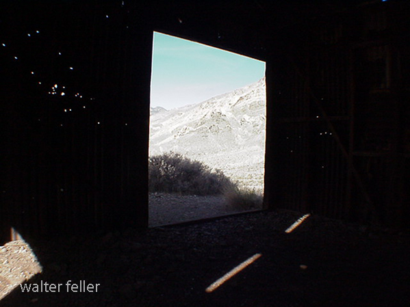
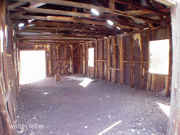
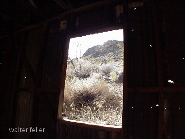

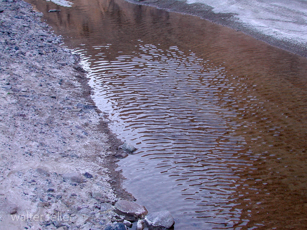
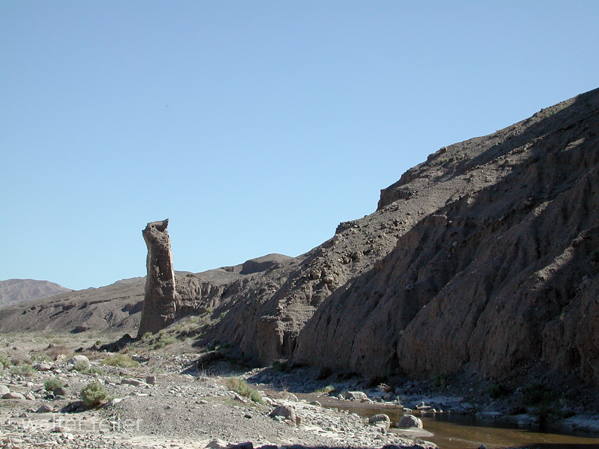
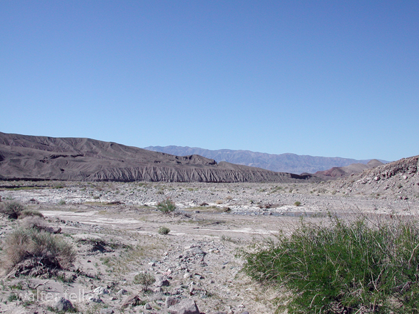
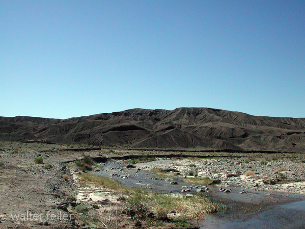
Afton Canyon
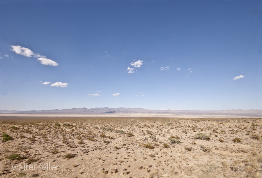
Ivanpah Dry Lake
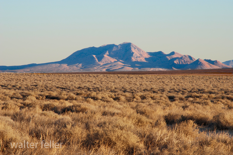
Red Mountain
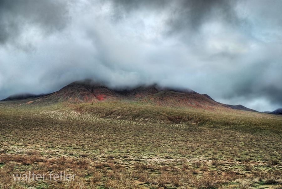
Red Mountain
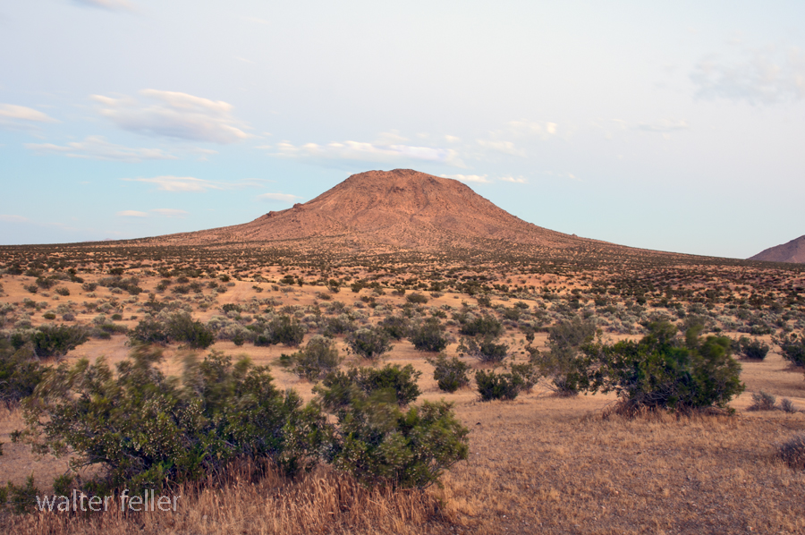
Bell Mountain, Apple Valley, Ca.

Digital-Desert.com/MojaveDesert.Net — Corporate Campus
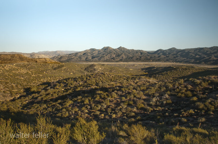
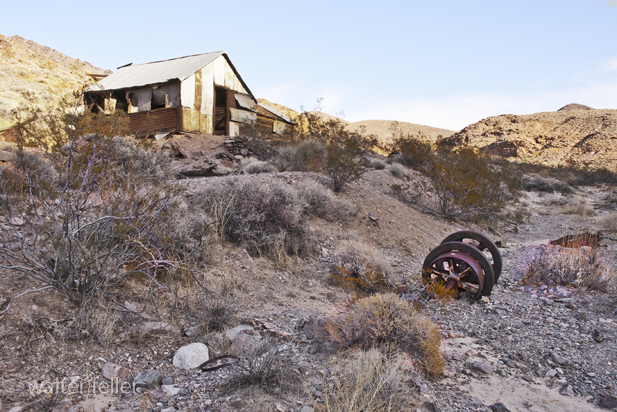
Inyo Mine, Echo Canyon, Death Valley
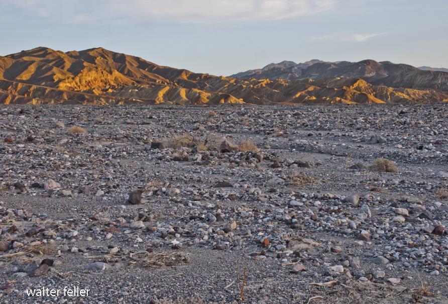
Furnace Creek Wash, Death Valley
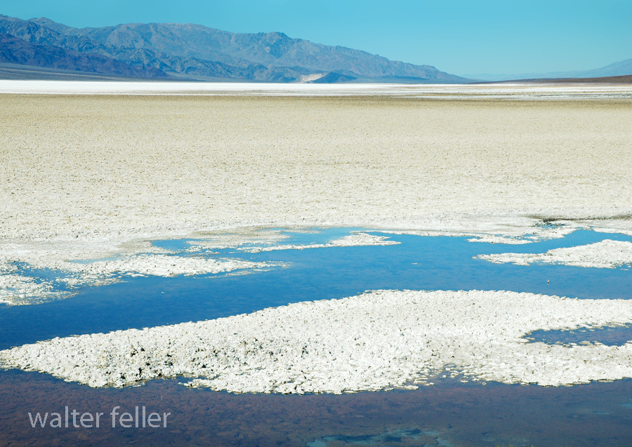
We all need a place to watch the world spin . . .
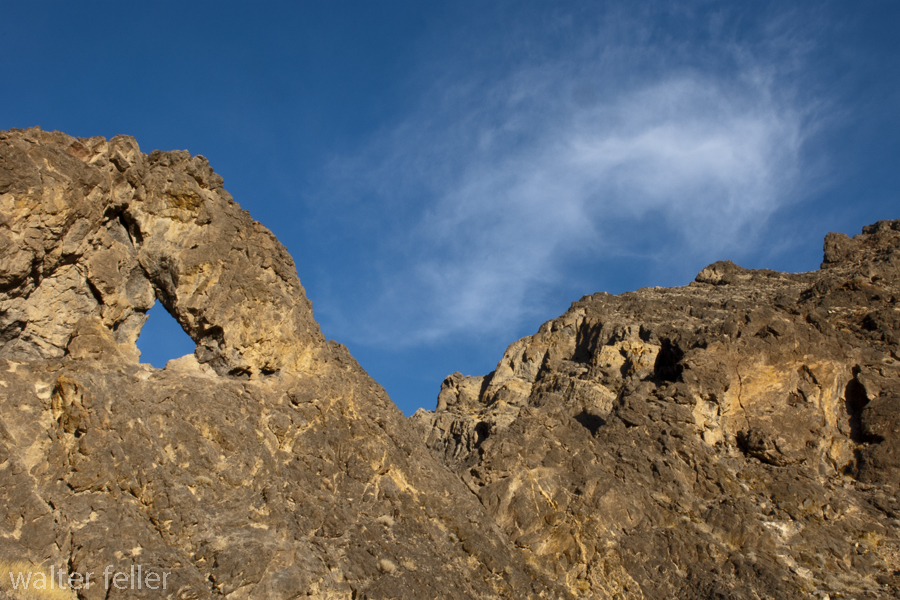
Needles Eye, Echo Canyon, Death Valley
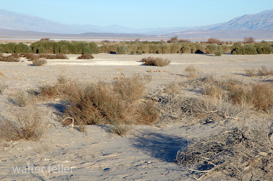
Furnace Creek, Death Valley National Park
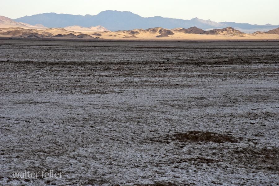
Devil’s Playground, Soda Lake, Mojave National Preserve

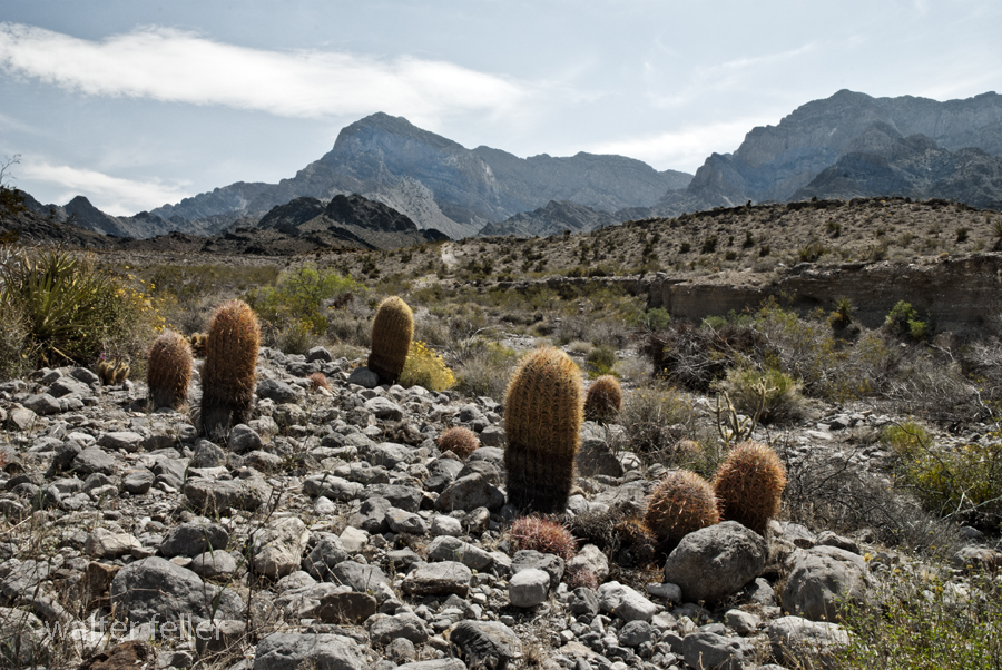
Providence Mountains, Mojave National Preserve
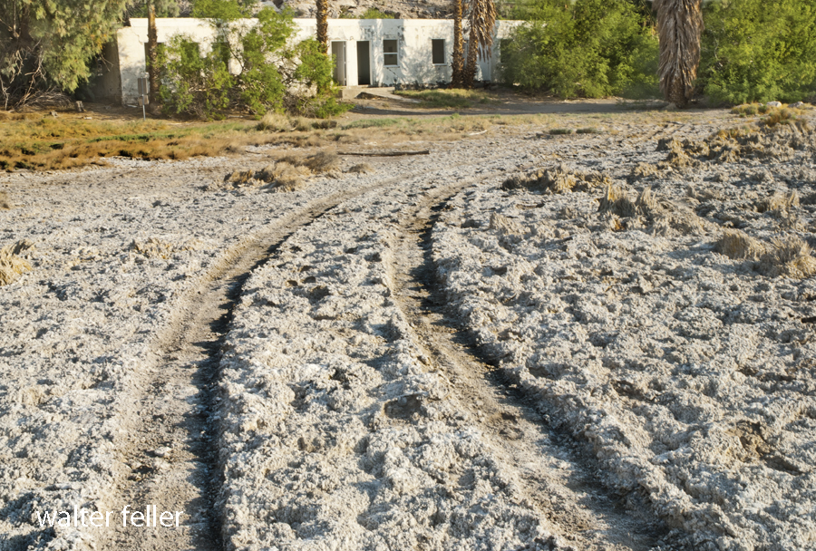
Sunrise Bungalow, Mojave Preserve
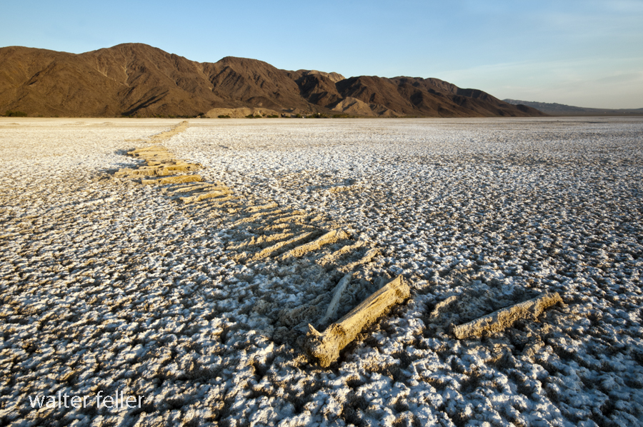
Soda Lake, Pacific Coast Soda Company
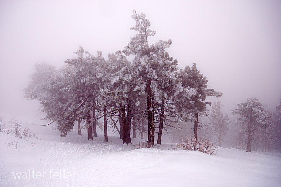
Winterkind, Inspiration Point, San Gabriel National Monument

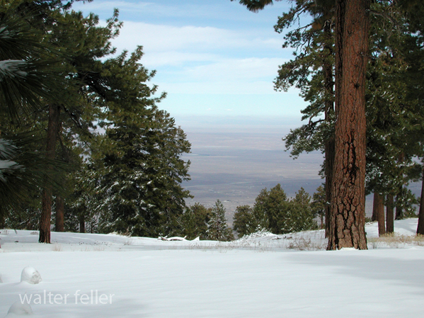
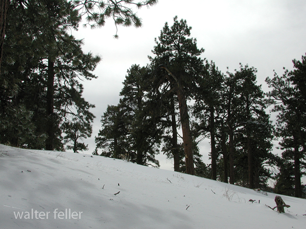
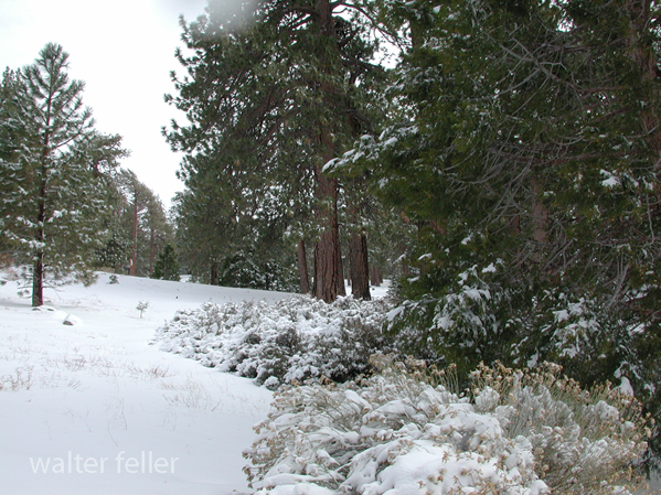
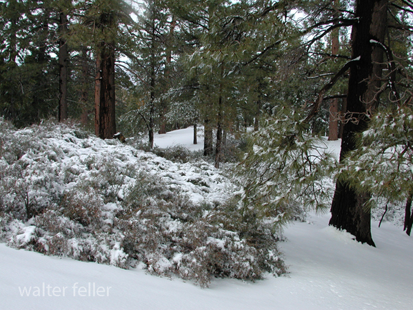
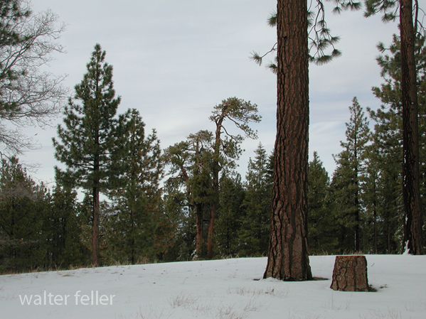
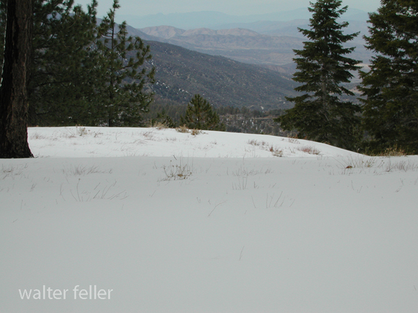
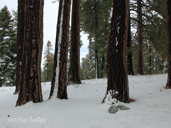
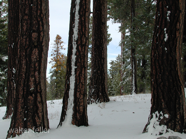
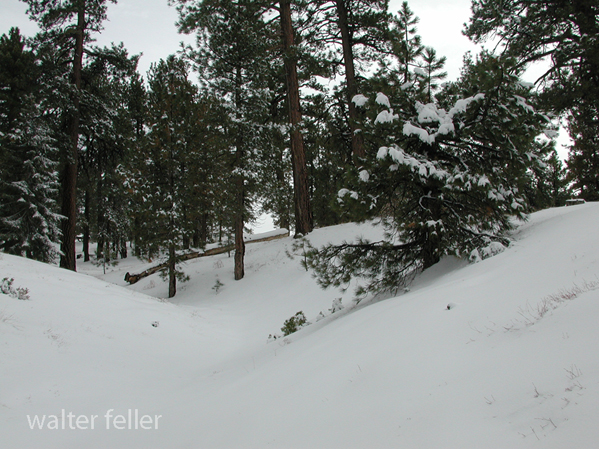
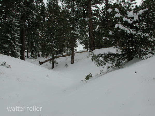
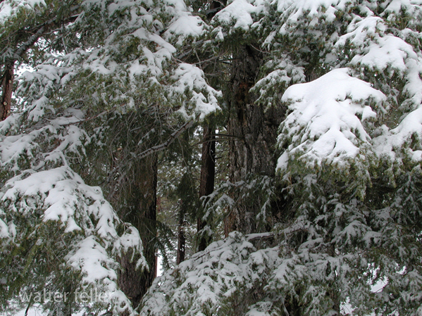
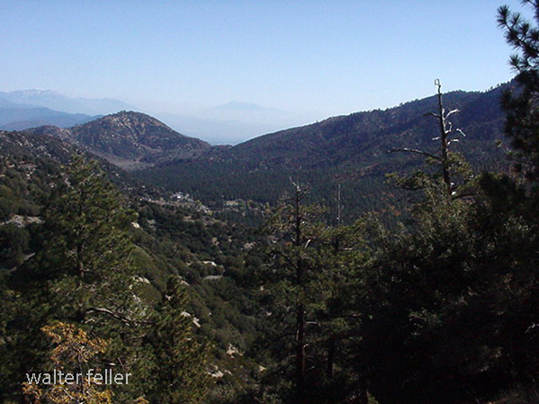
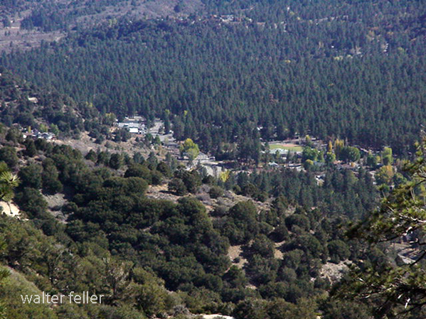
San Bernardino National Forest – 2/2010

Marl Spring, Mojave National Preserve

Last Chance Spring – 2010
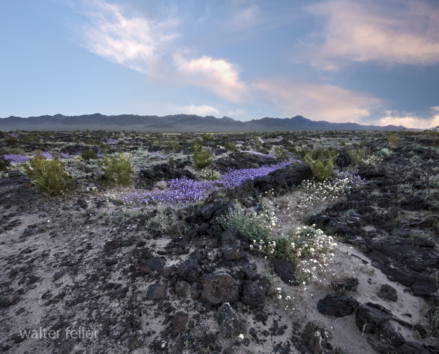
Lava Field, Amboy Crater – 2008
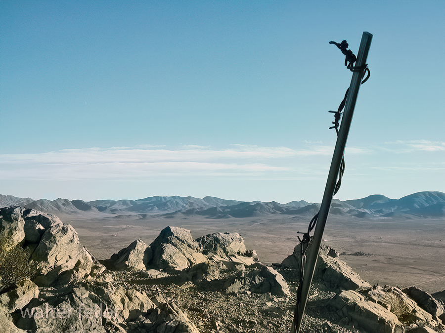
Bell Mountain Summit, Apple Valley, Ca. – 1/2004
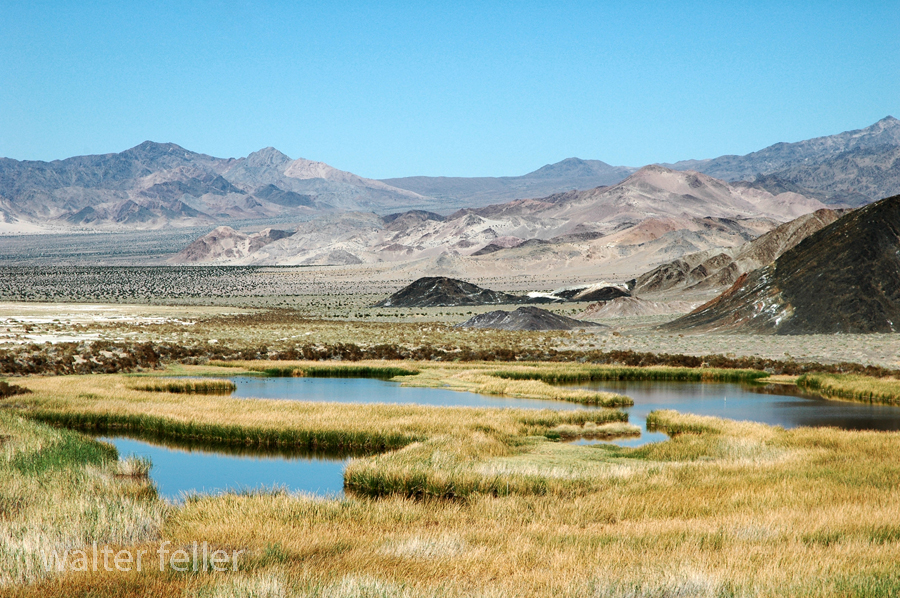
Saratoga Springs, Death Valley National Park
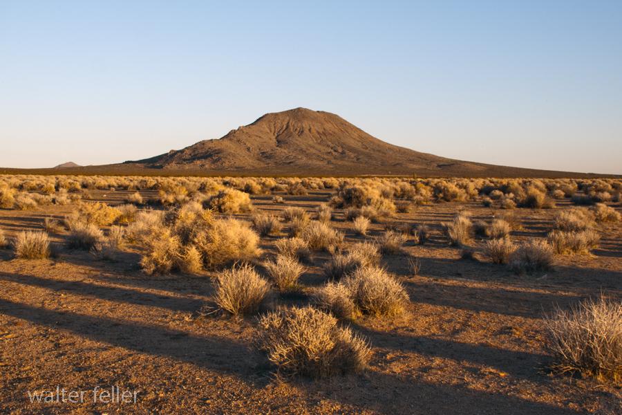
Bell Mountain, Apple Valley, Victor Valley, Ca. – 2011
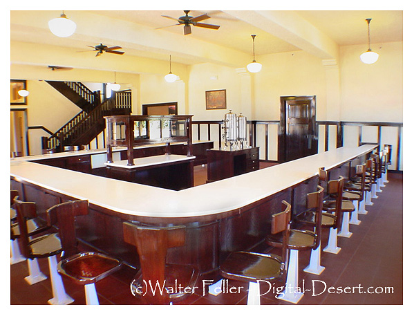
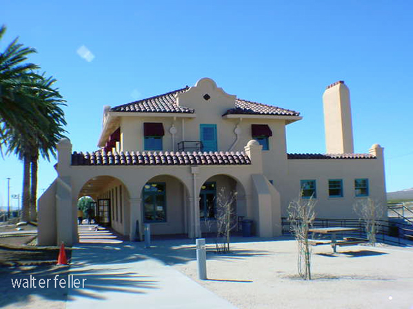
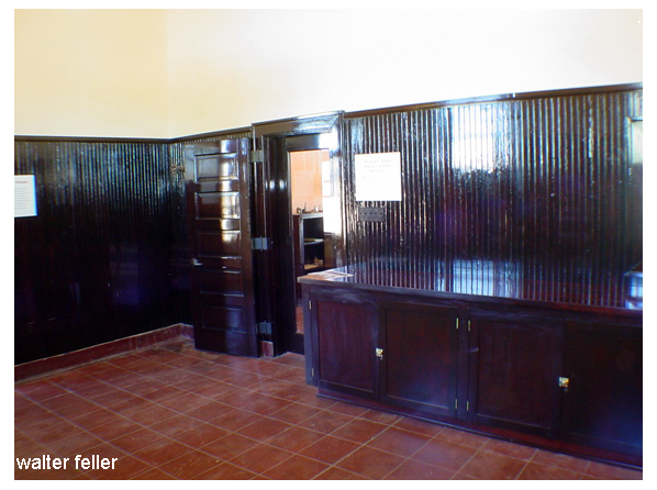
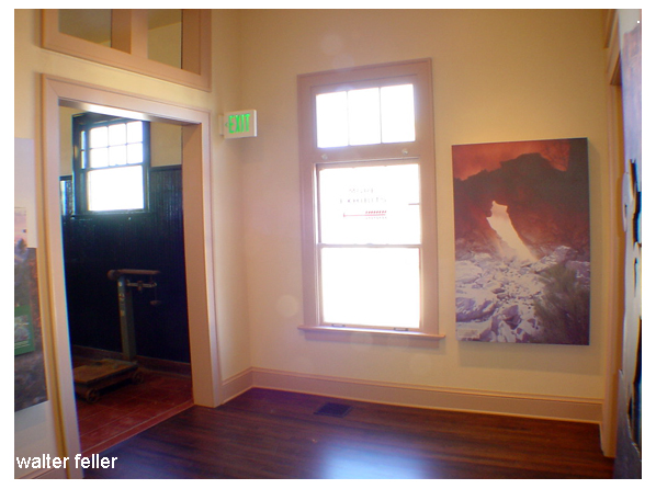
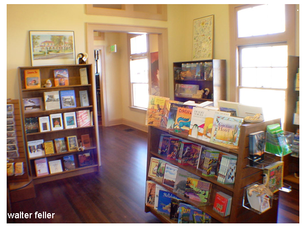
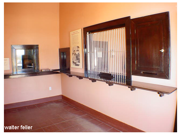
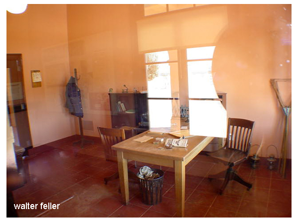
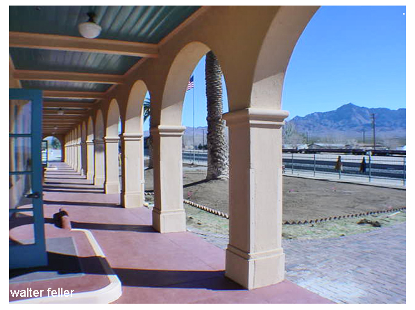
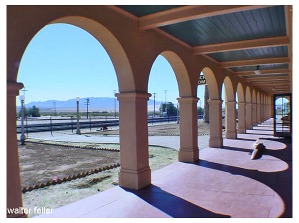
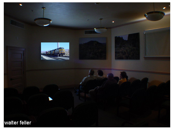
Kelso Depot – Mojave National Preserve – 2006







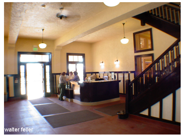
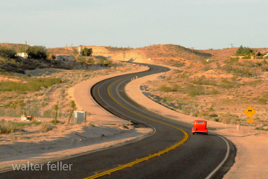
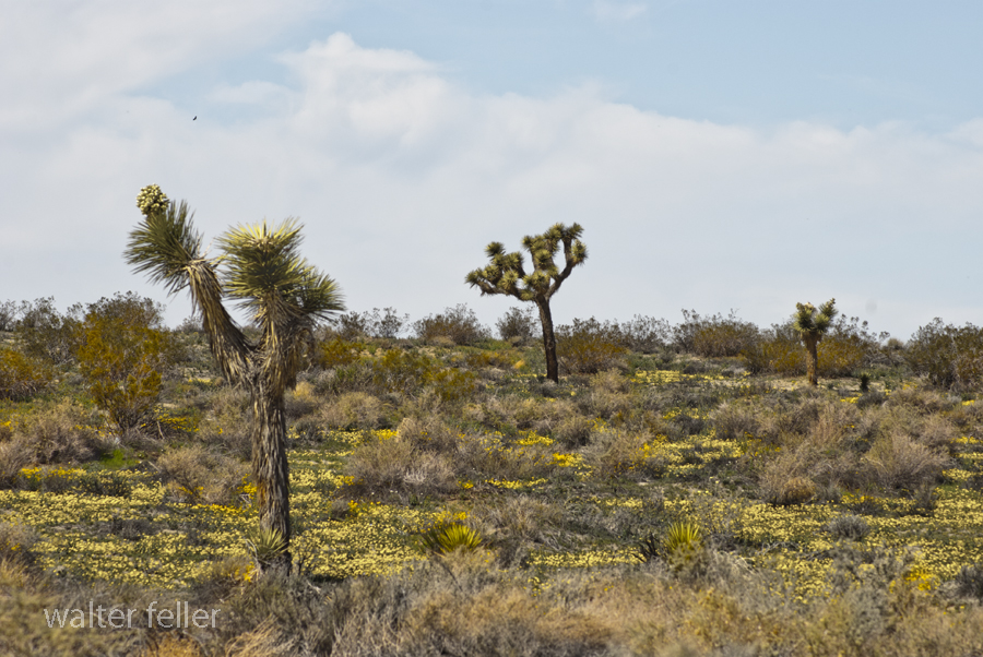
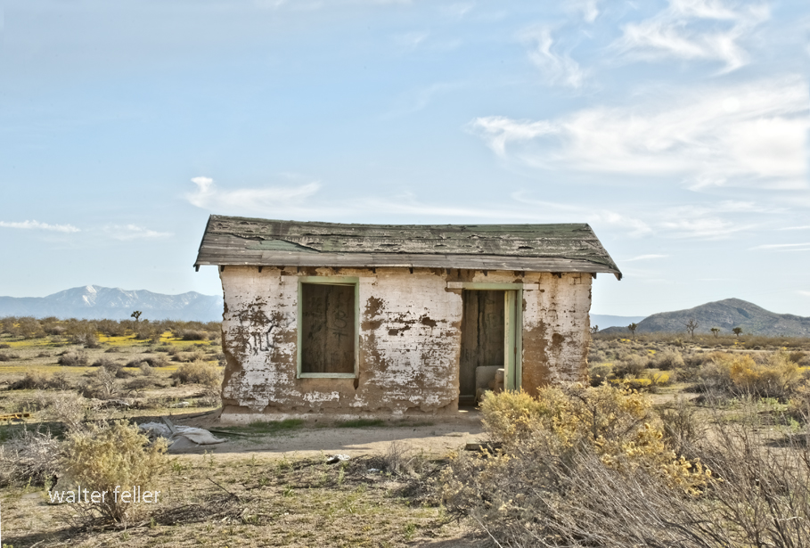
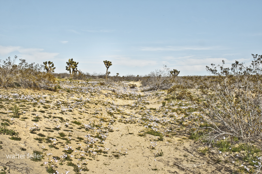
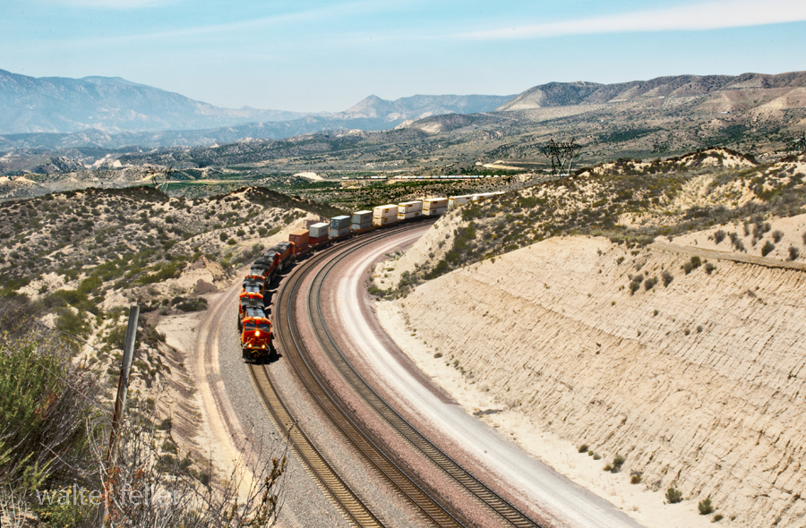
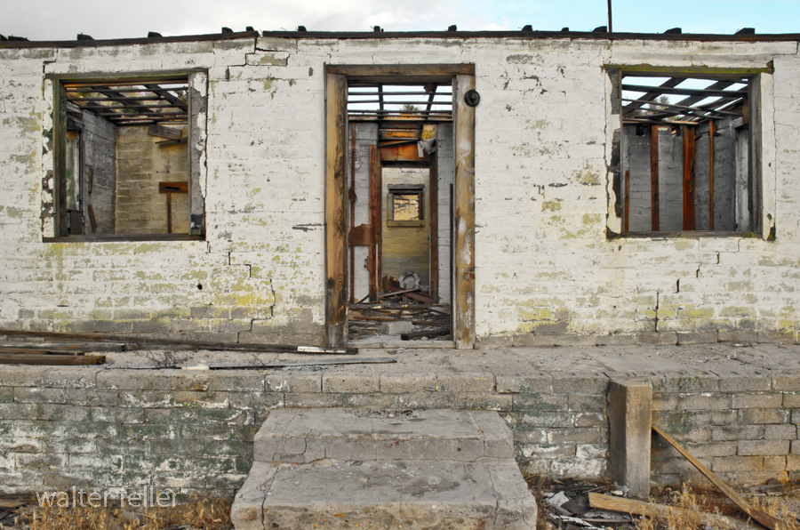
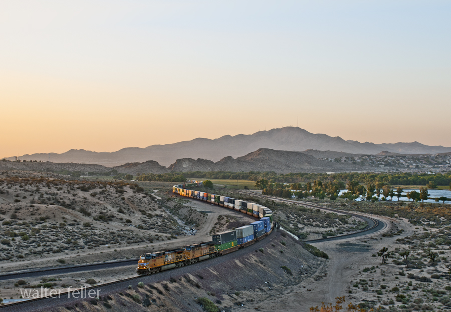
White House, Apple Valley, Ca.
May 22, 2014
Flyover, Victorville, Ca.
May 31, 2014
Rock Springs Road, Apple Valley, Ca.
June 2, 2014
LIST OF ILLUSTRATIONS –
Mojave Administrative History; NPS – Eric Nystrom
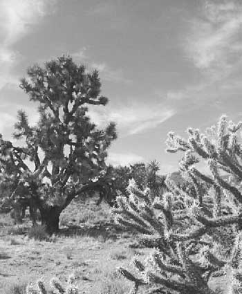
Illustration 1 – Joshua tree and buckhorn cholla

Illustration 2 – Prehistoric petroglyphs at Indian Well
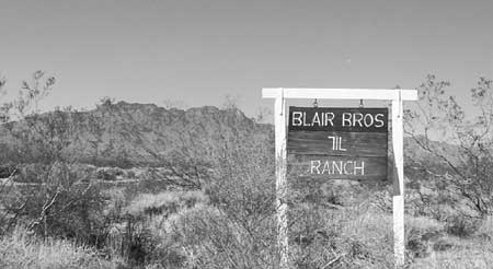
Illustration 3 – The 7IL Ranch
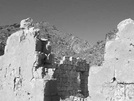
Illustration 4 – Stone walls of 1880s-era Providence
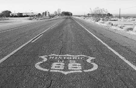
Illustration 5 – U.S. Highway 66, Essex, California
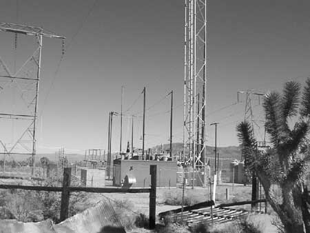
Illustration 6 – High-tension power wires and associated infrastructure
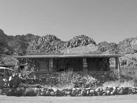
Illustration 7 – Visitor’s center for Providence Mountains State Recreation Area
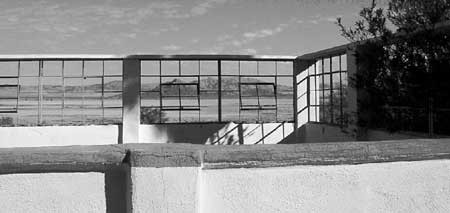
Illustration 8 – Zzyzx

Illustration 9 – Four-wheel drive vehicles traveling the Mojave Road
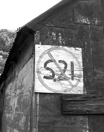
Illustration 10 – Painted sign opposing S.21
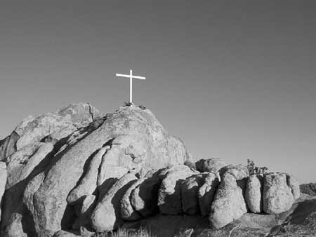
Illustration 11 – Cross on Sunrise Rock
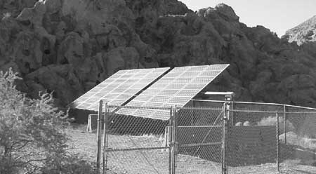
Illustration 12 – Solar panels at Hole-in-the-Wall
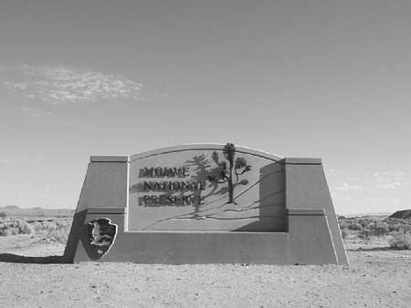
Illustration 13 – Mojave National Preserve entrance monument
Illustration 14 – Official logo of Mojave National Preserve

Illustration 15 – Buildings at the New Trail Mine

Illustration 16 – Graffiti on Kelbaker Road
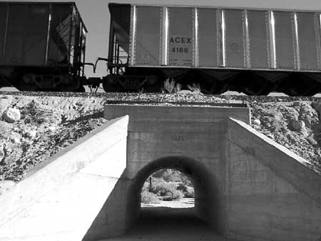
Illustration 17 – The Union Pacific Railroad
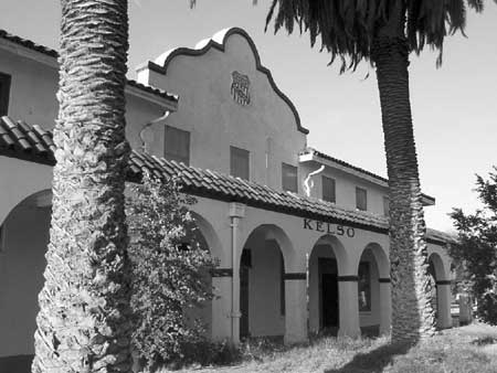
Illustration 18 – Kelso Depot
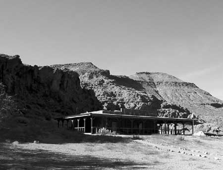
Illustration 19 – NPS visitors’ center at Hole-in-the-Wall
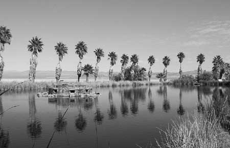
Illustration 20 – Lake Tuendae at Zzyzx
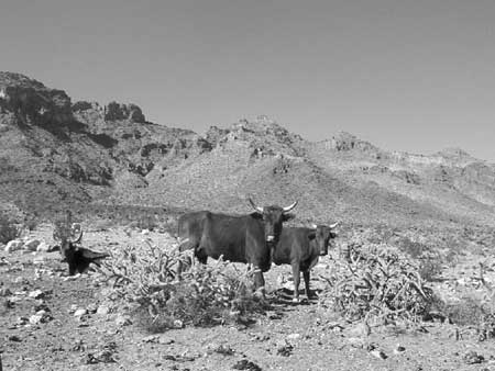
Illustration 21 – Desert cattle
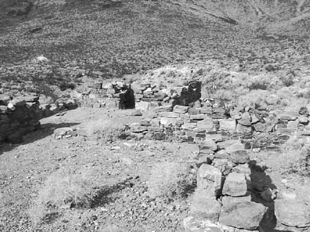
Illustration 22 – Rock walls of the military outpost at Piute Creek
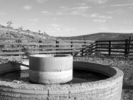
Illustration 23 – The Rock Springs Land & Cattle Company trough and corral
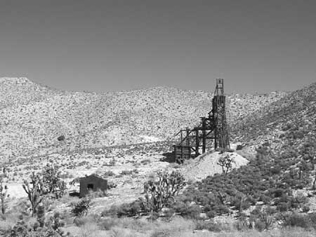
Illustration 24 – Headframe of the Evening Star Mine
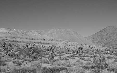
Illustration 25 – Morning Star Mine
—
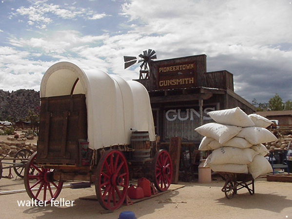
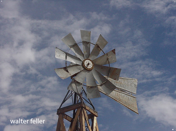
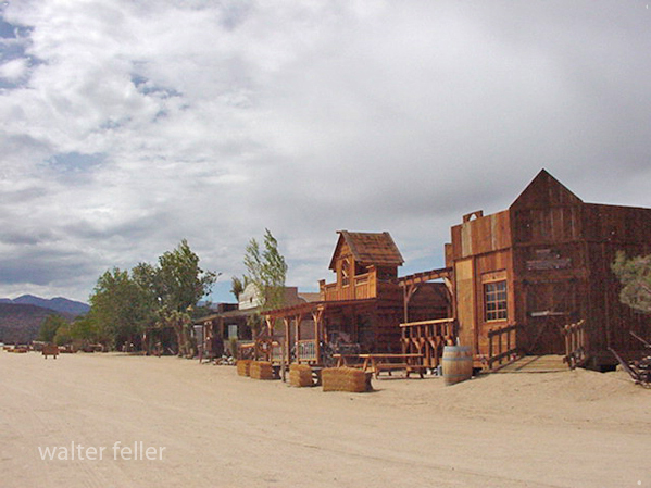
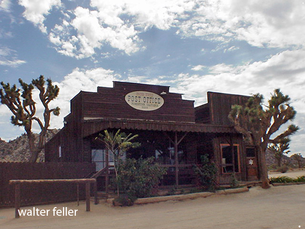
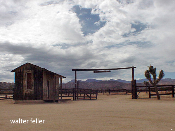
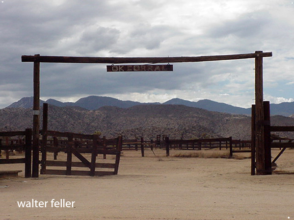
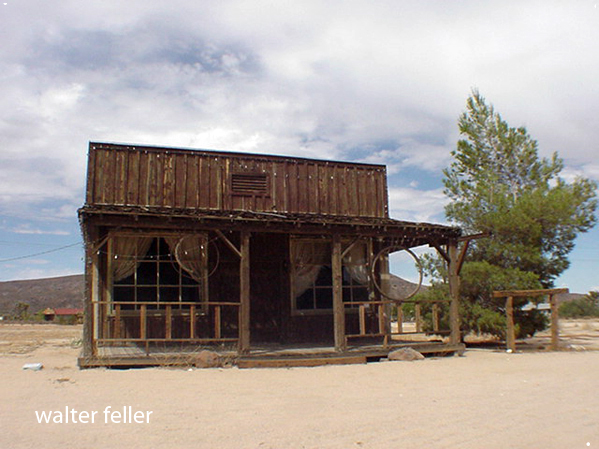
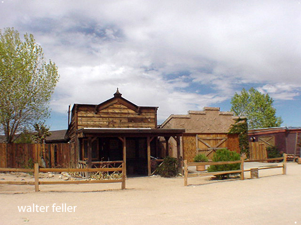
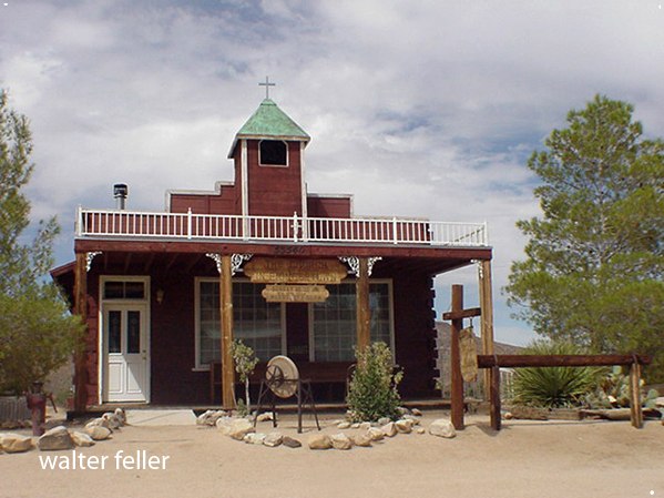
Pioneertown, Ca. –
The town started as a live-in Old West motion picture set, built in the 1940s.


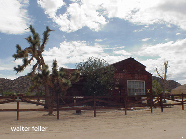
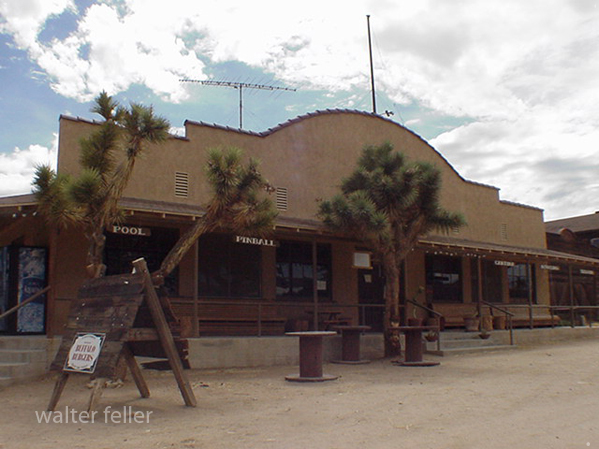
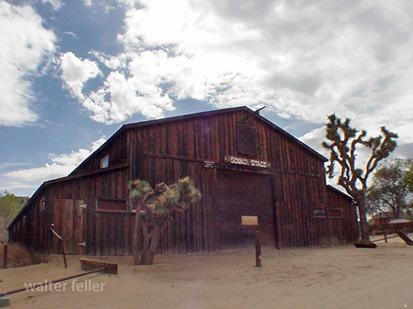
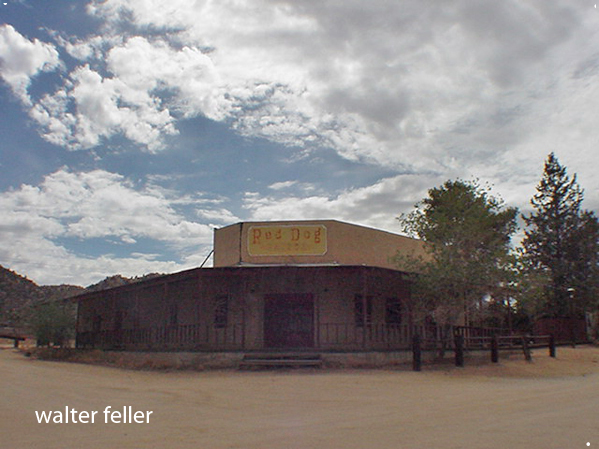


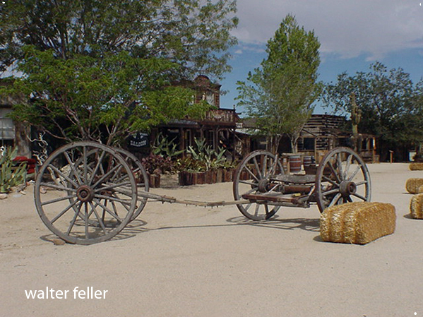
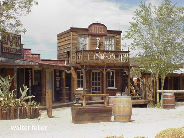
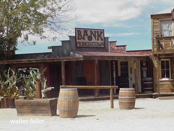
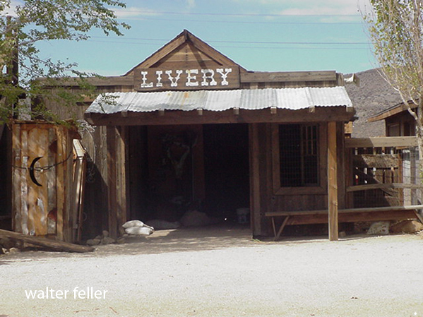
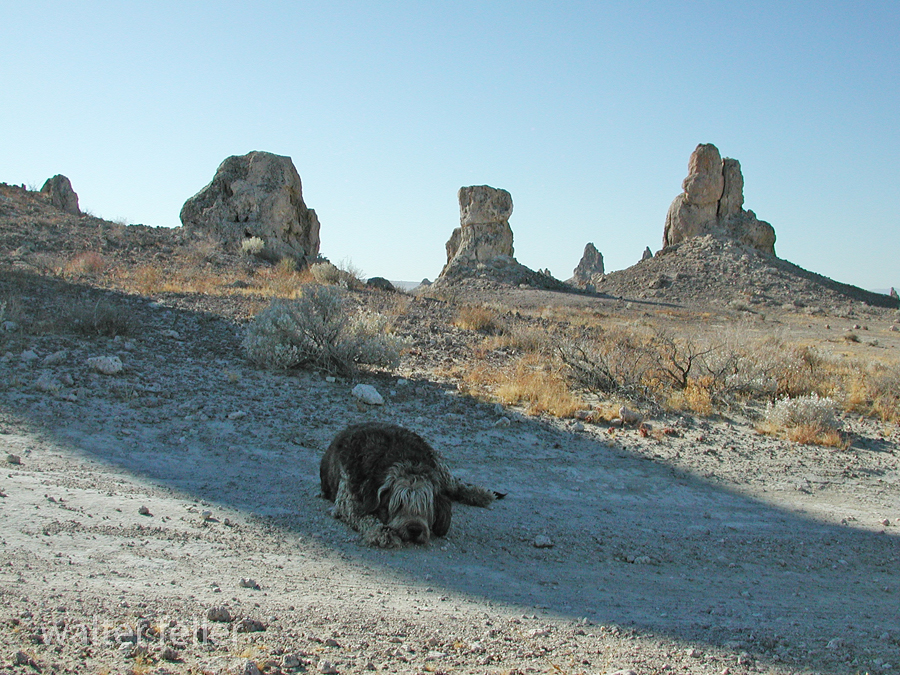
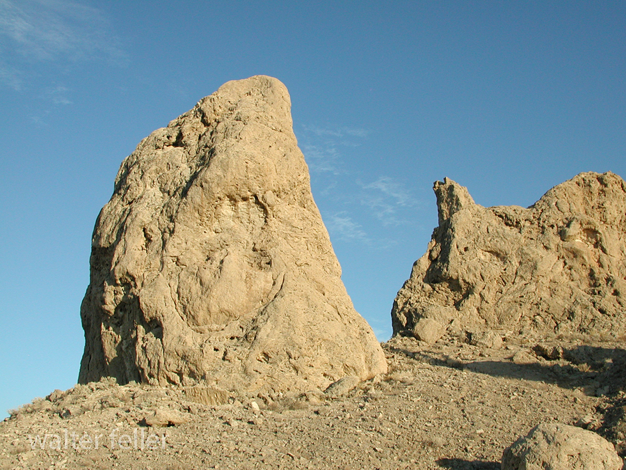
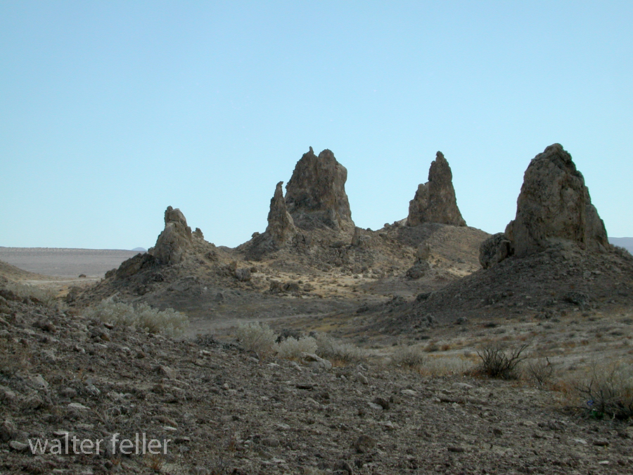
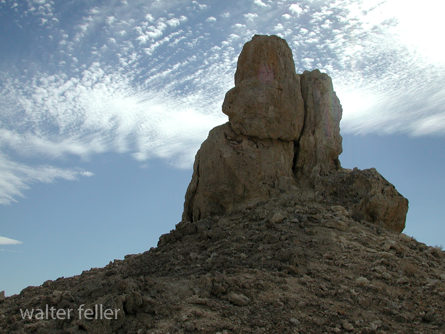
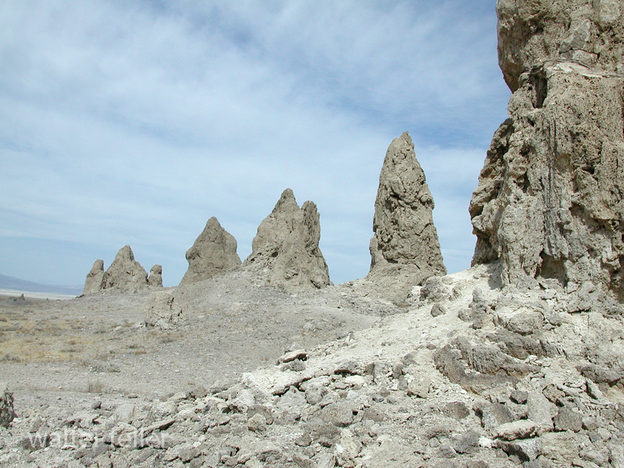
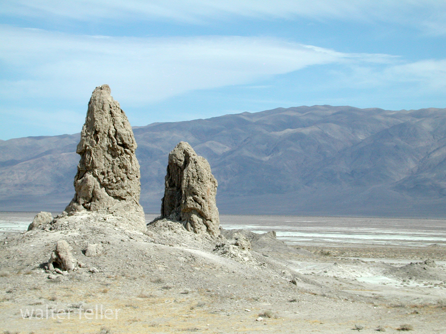
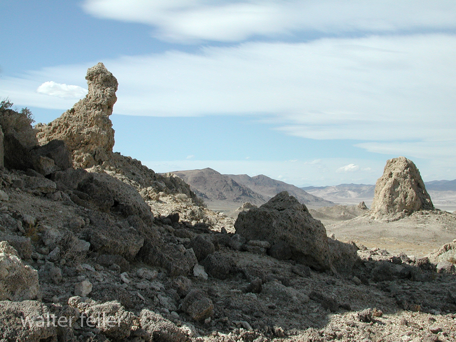
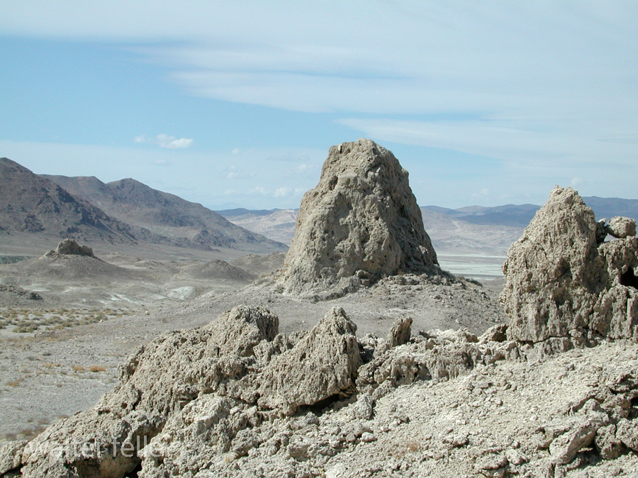
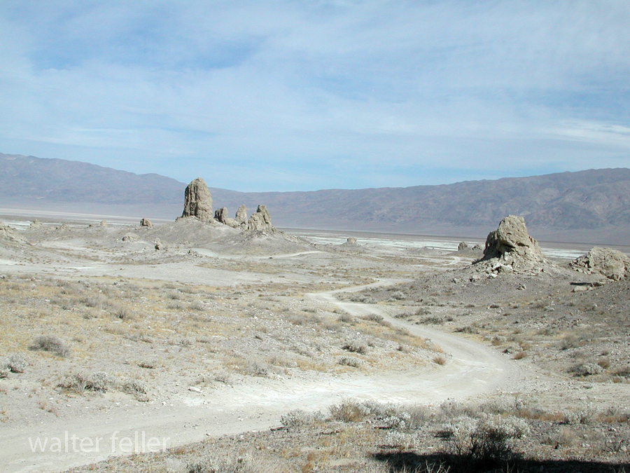
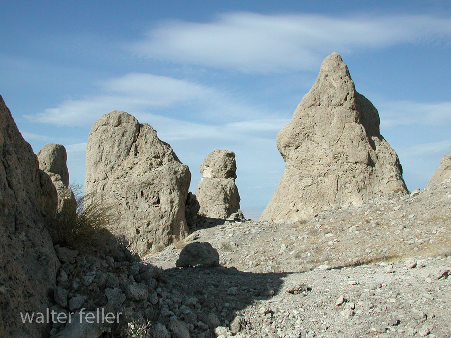
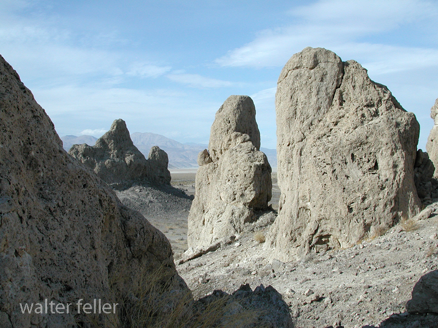
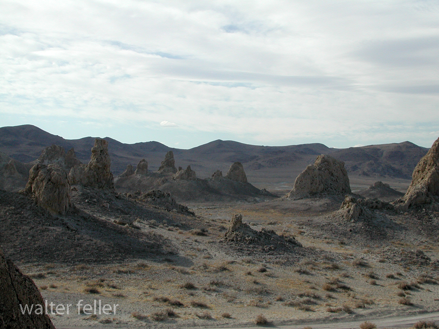
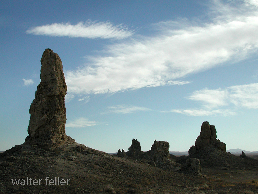
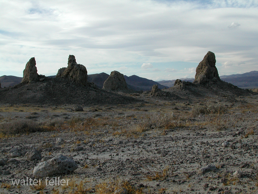
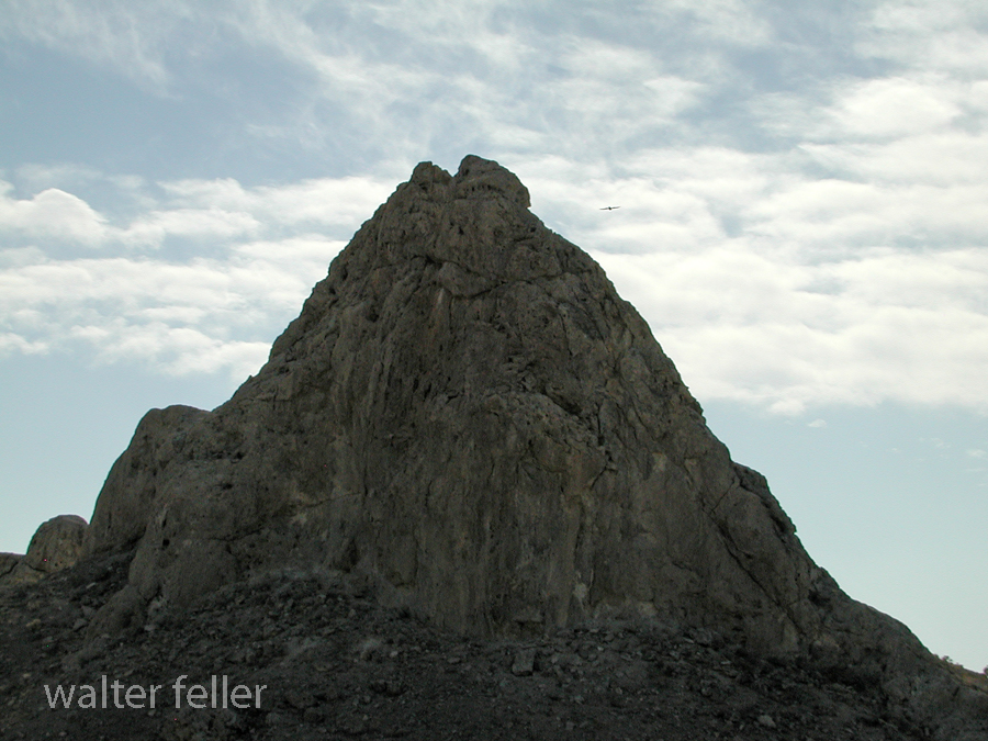
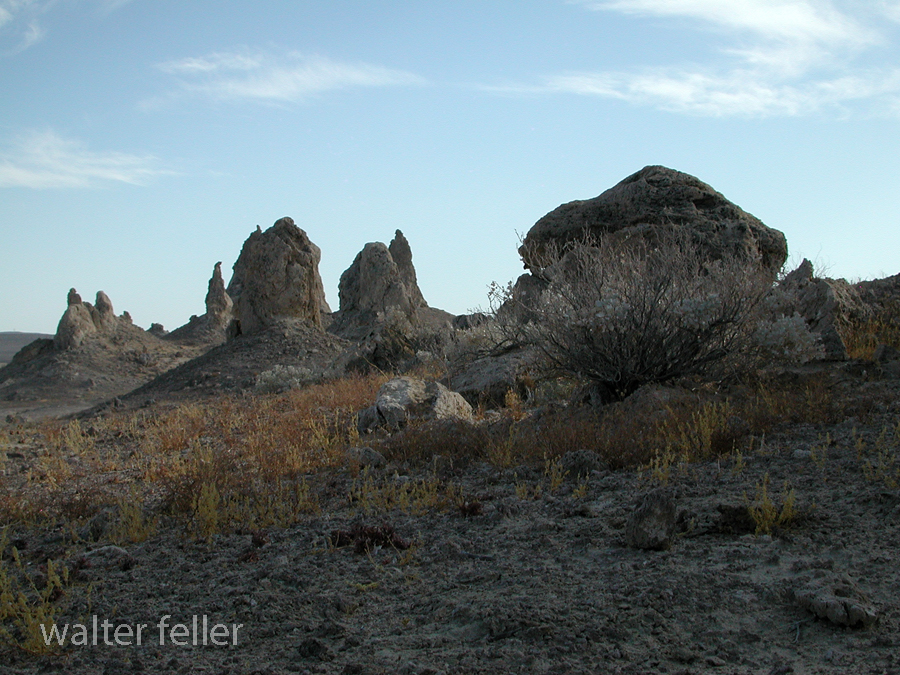
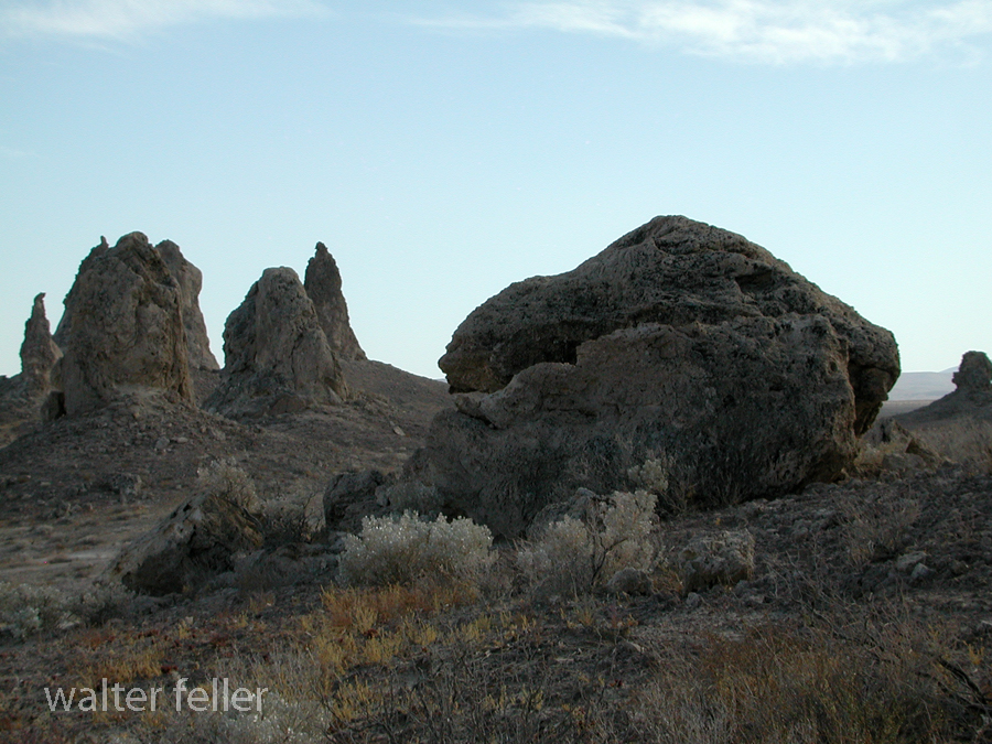
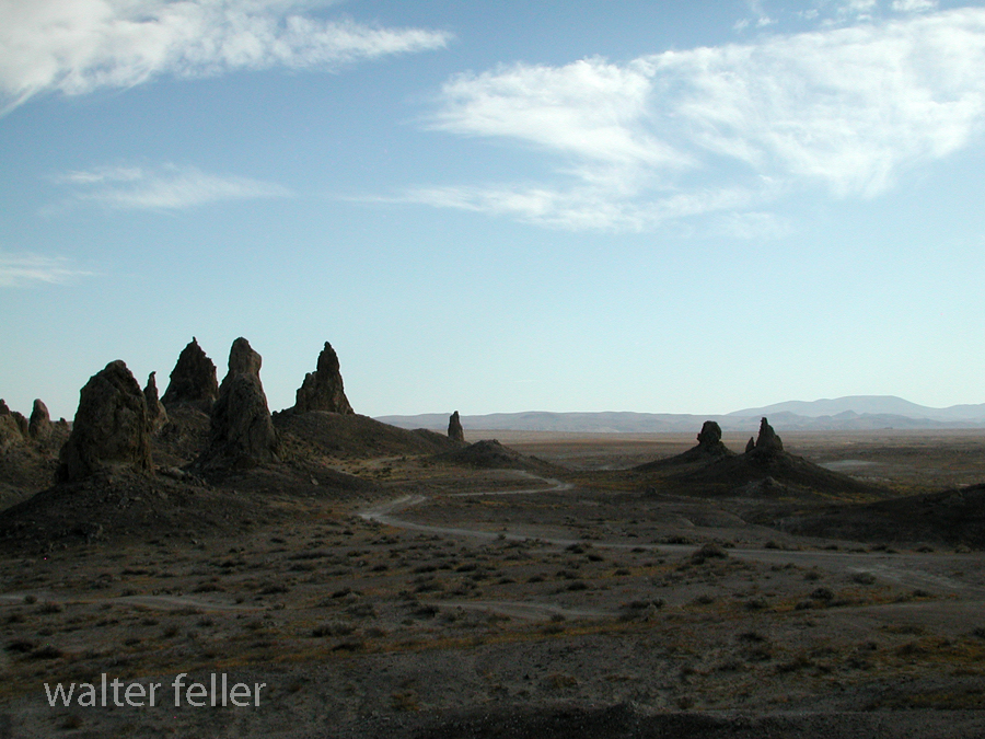
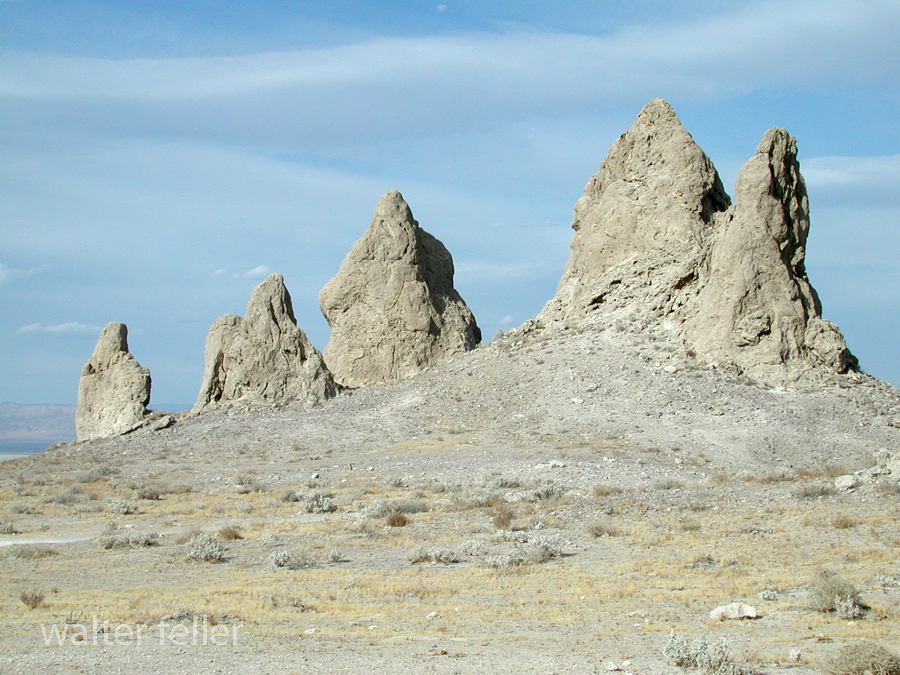
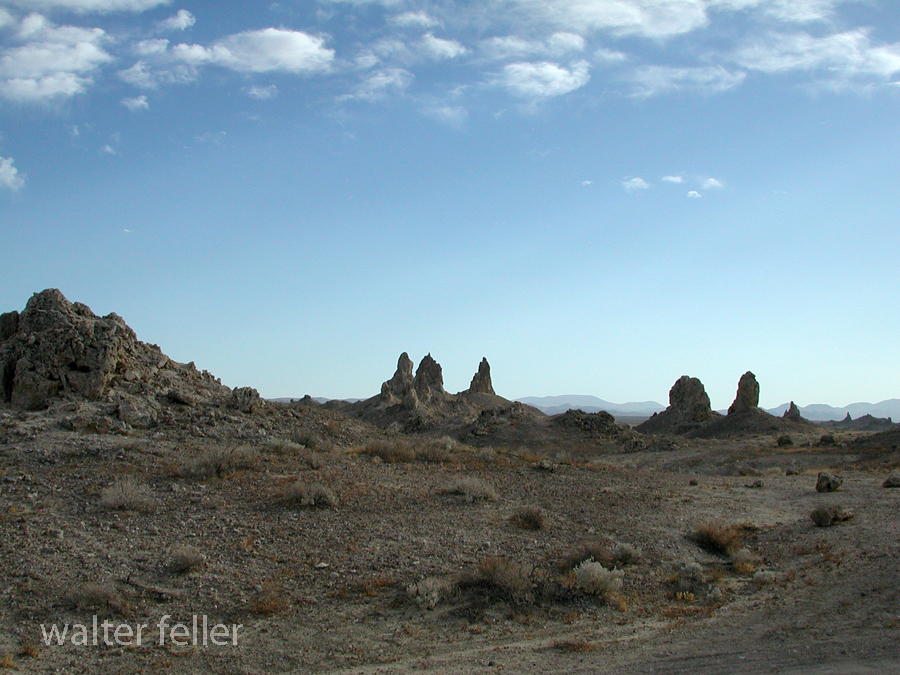
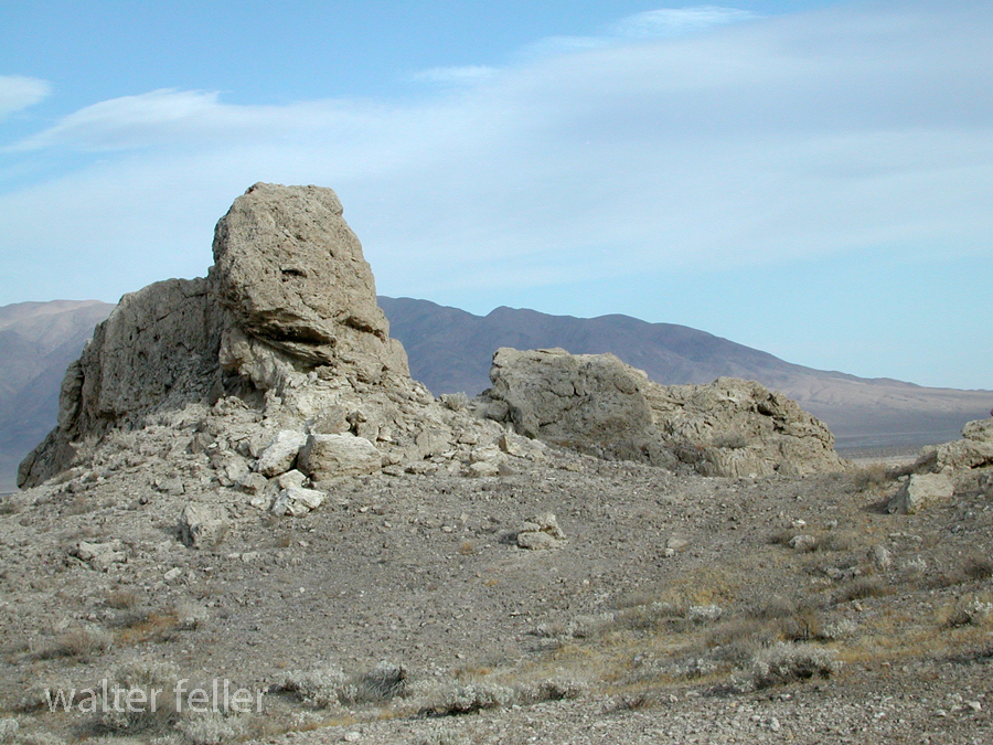
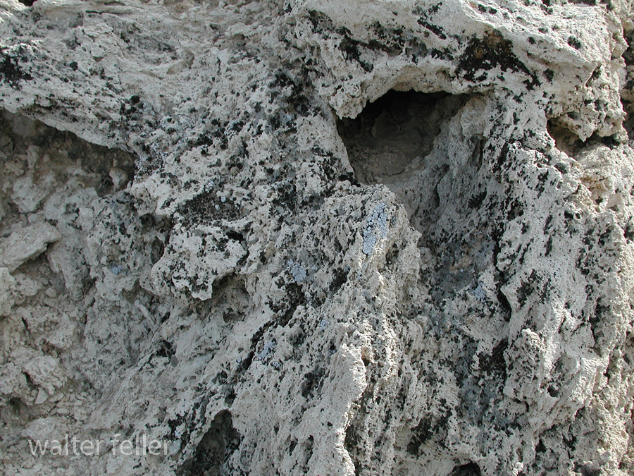
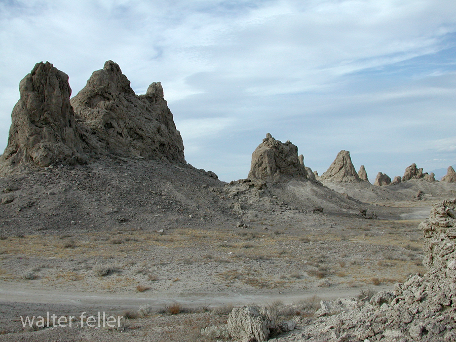
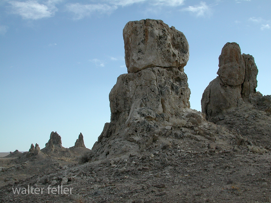
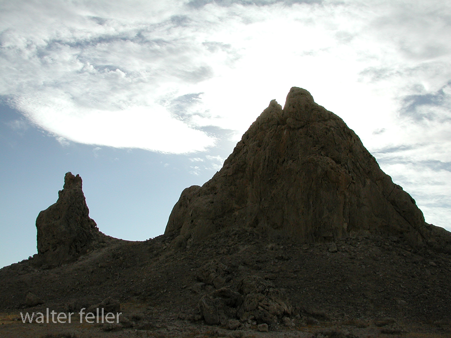
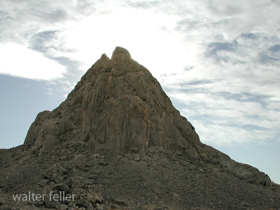
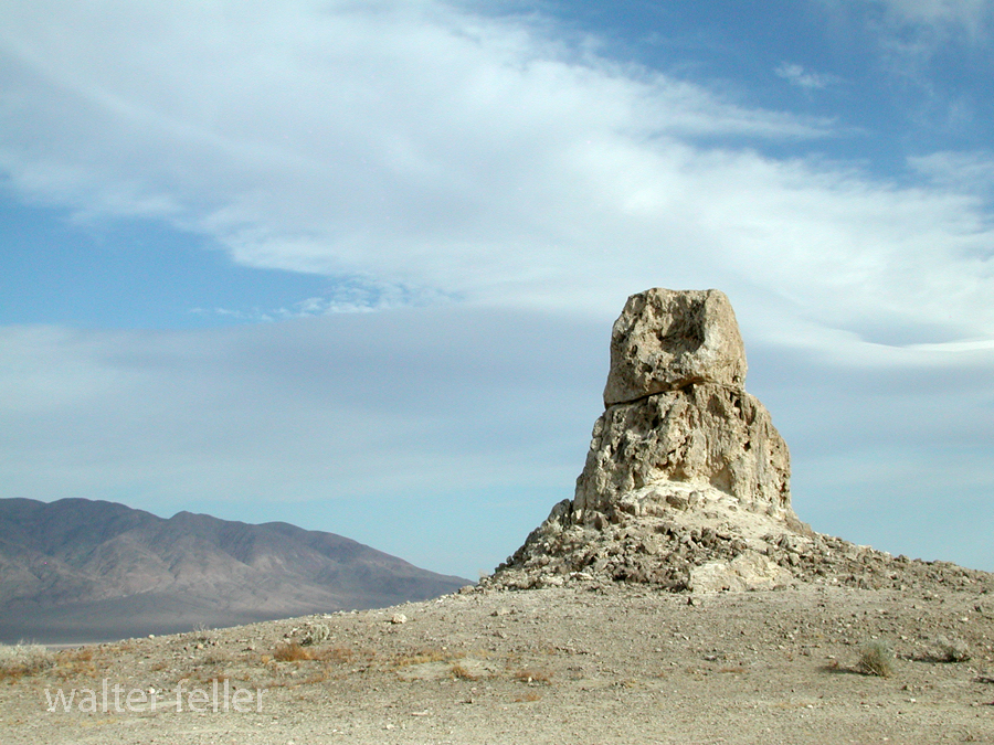
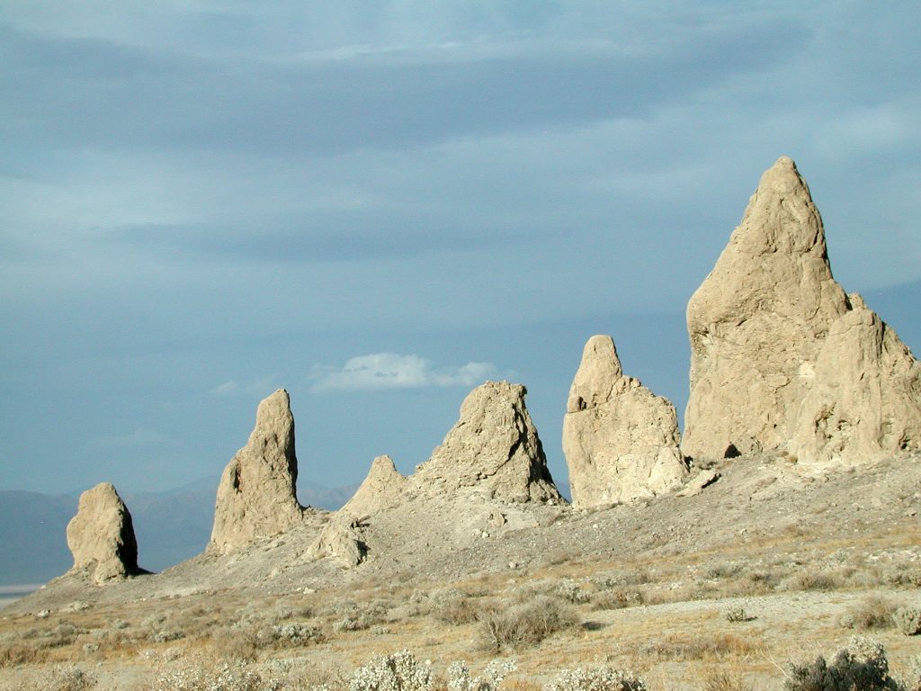
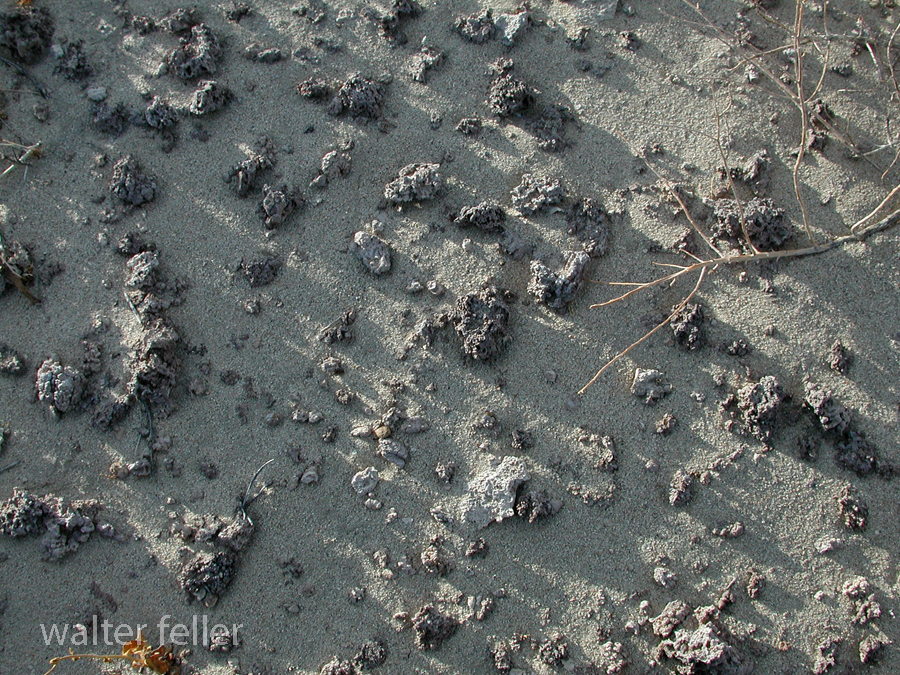
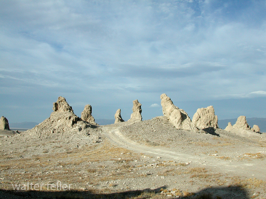
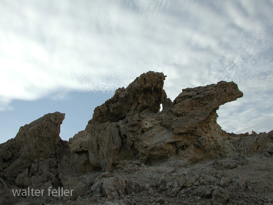
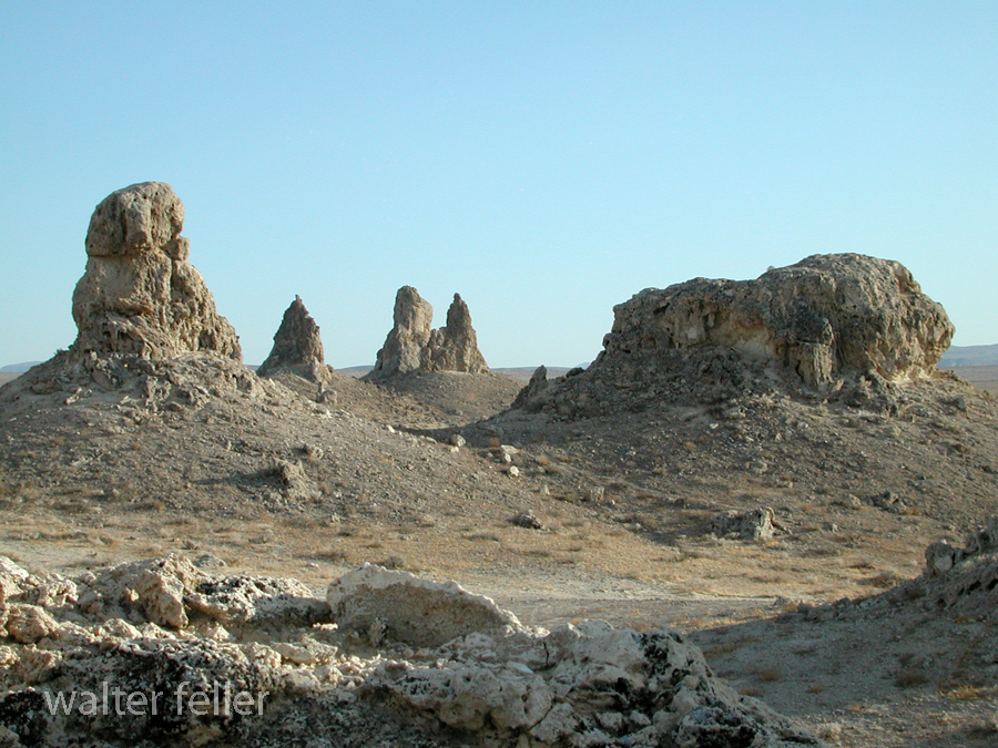
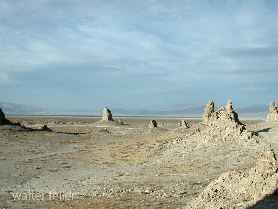
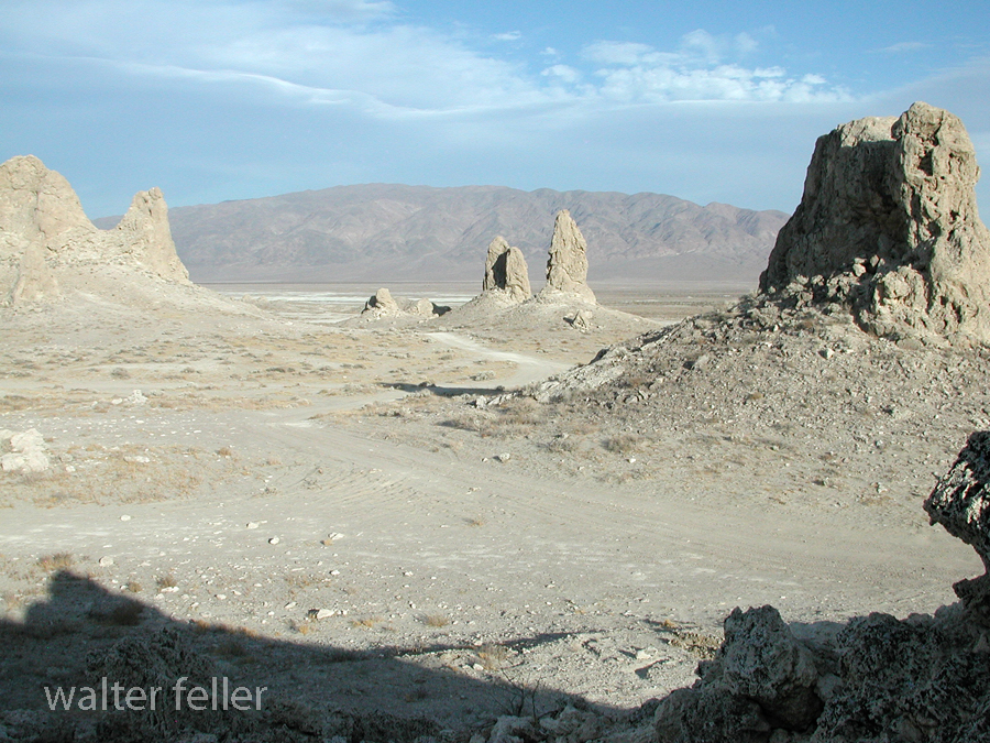
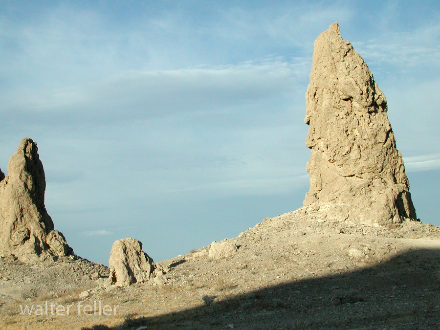
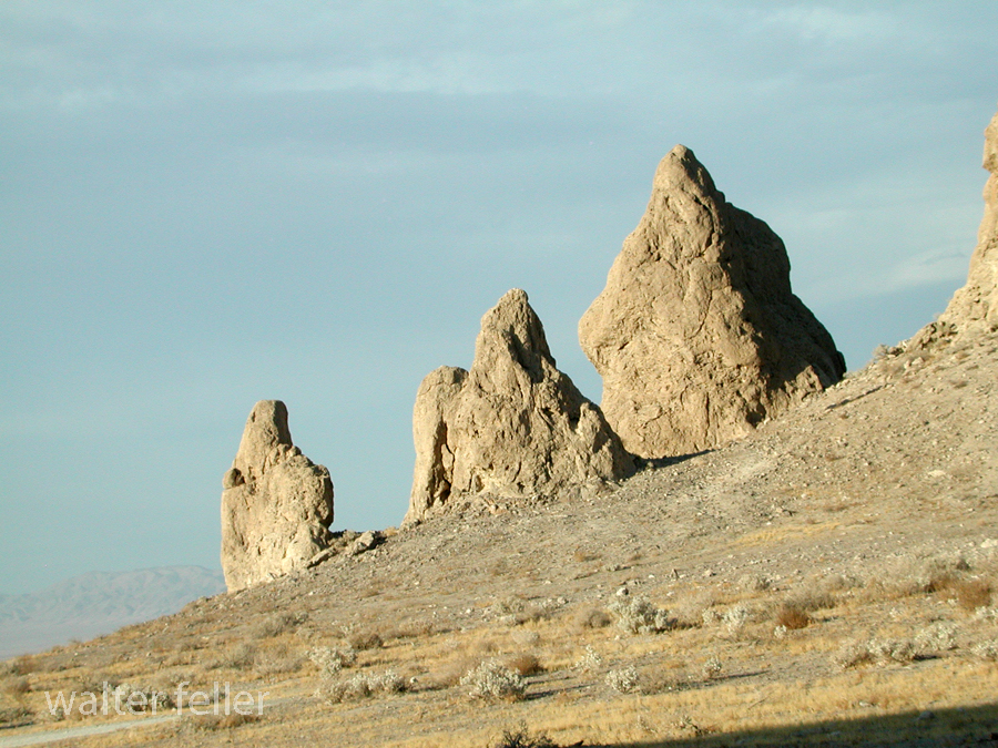
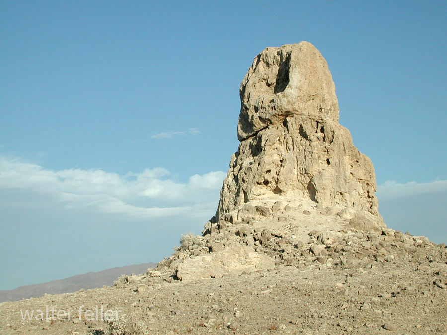
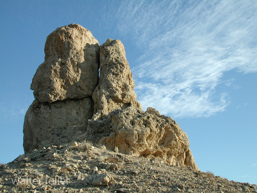
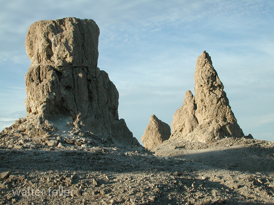
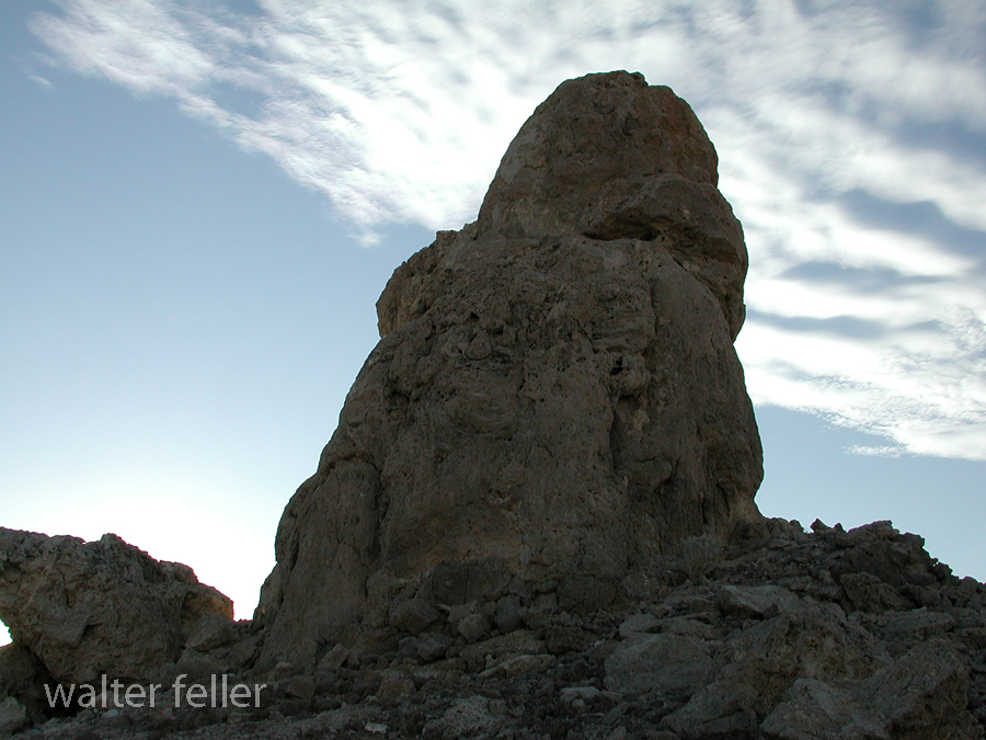
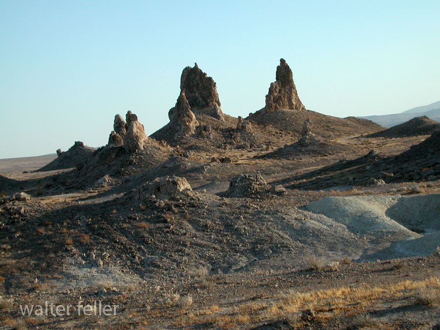
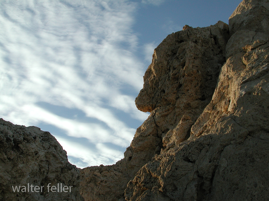
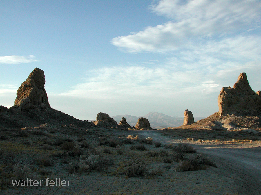
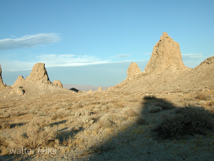
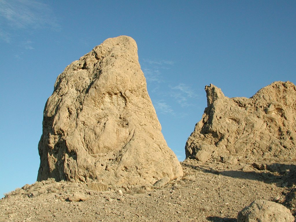
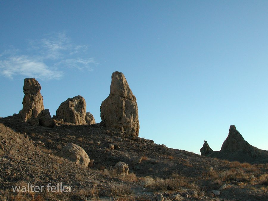
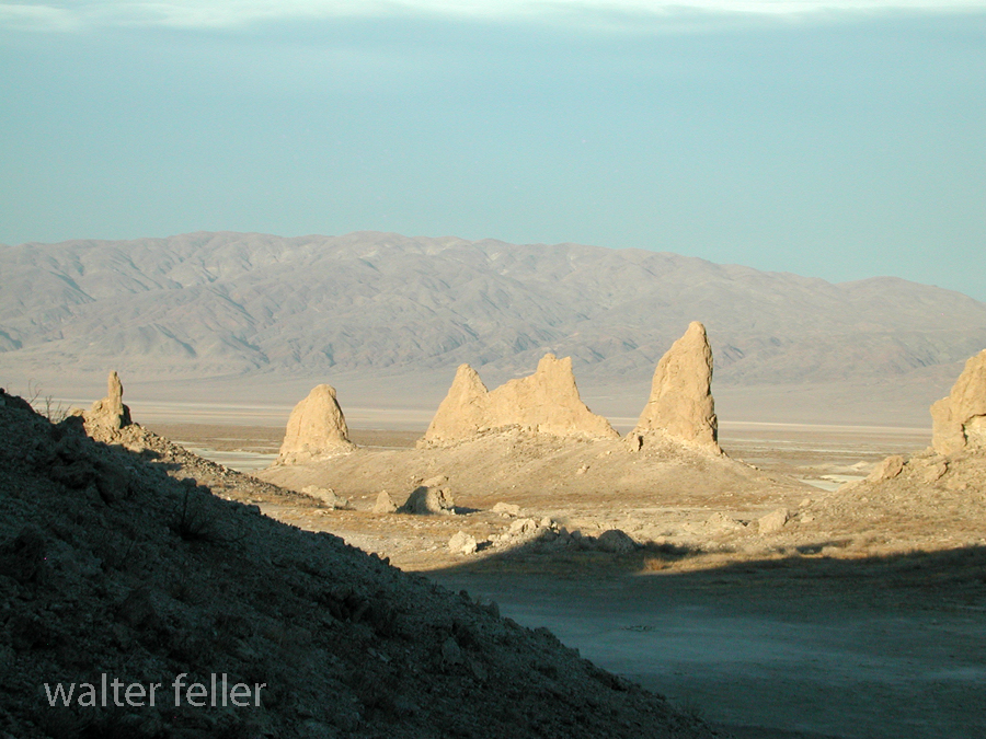
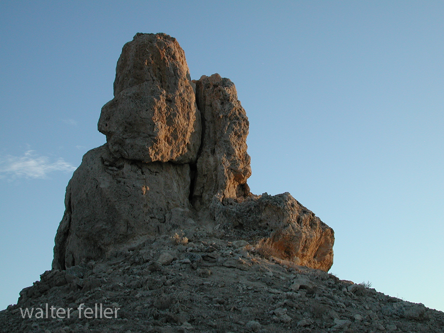
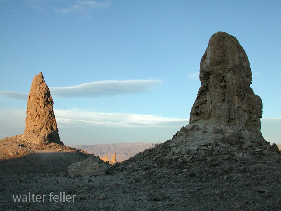
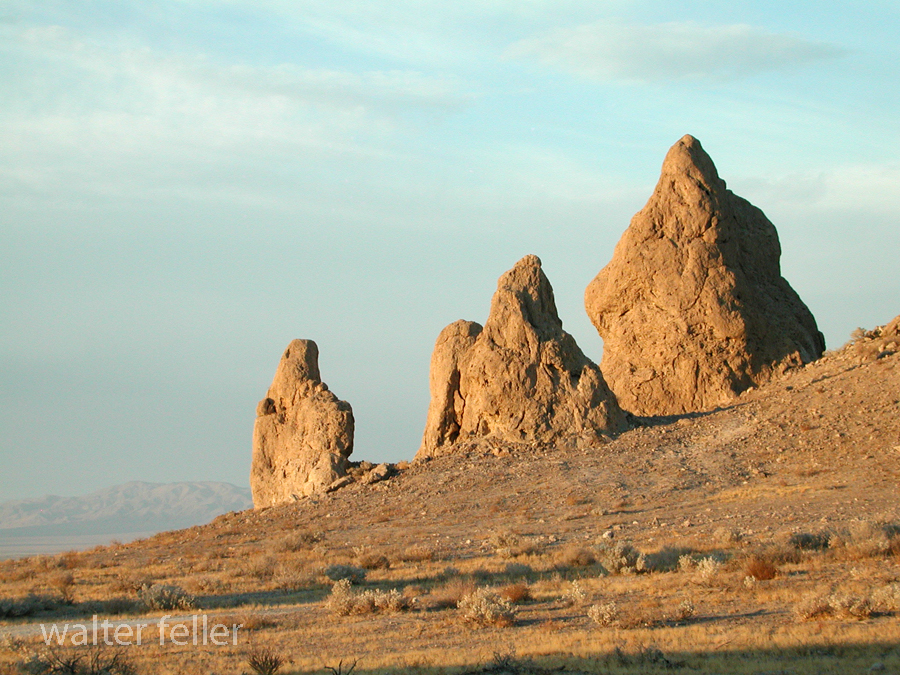
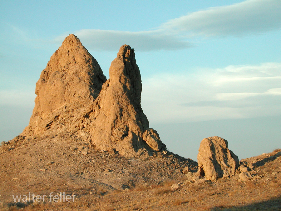
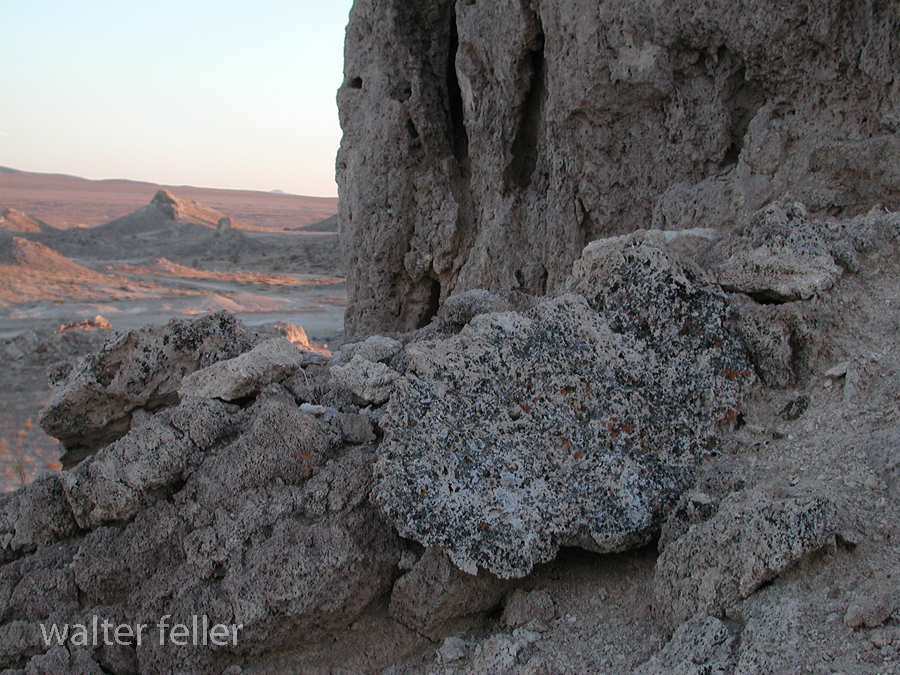
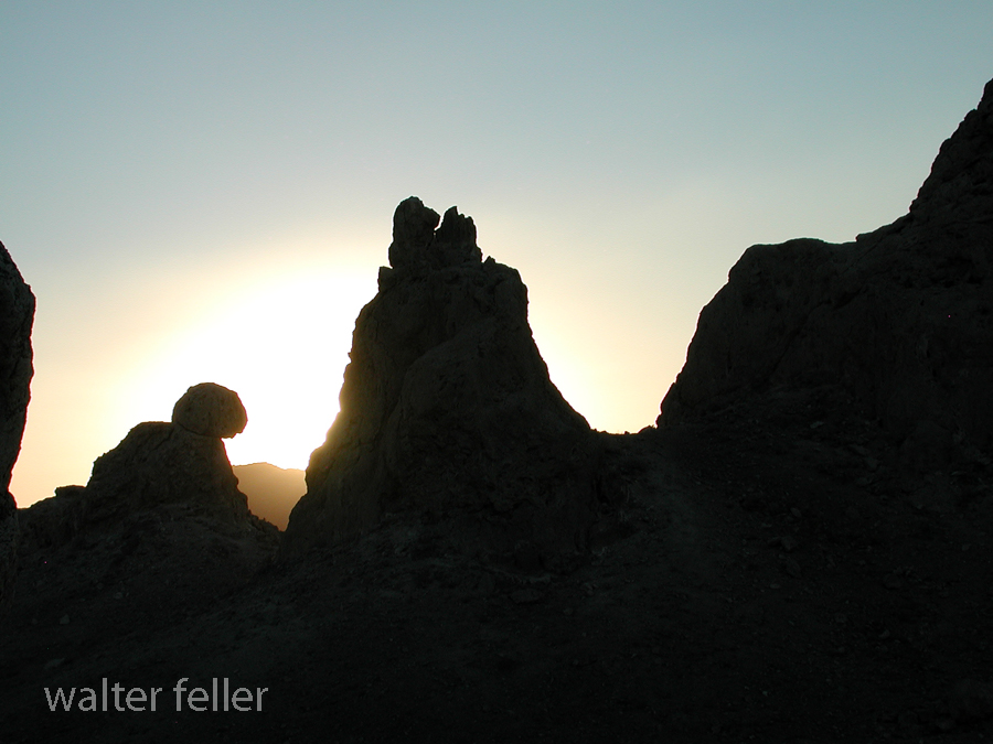
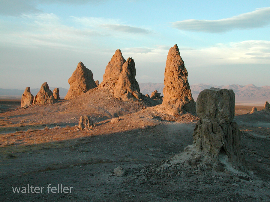
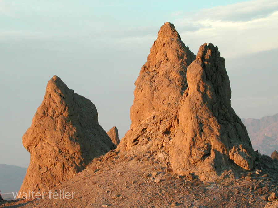
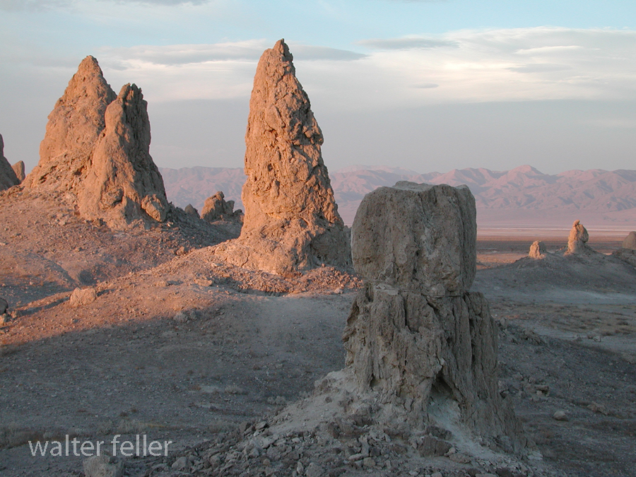
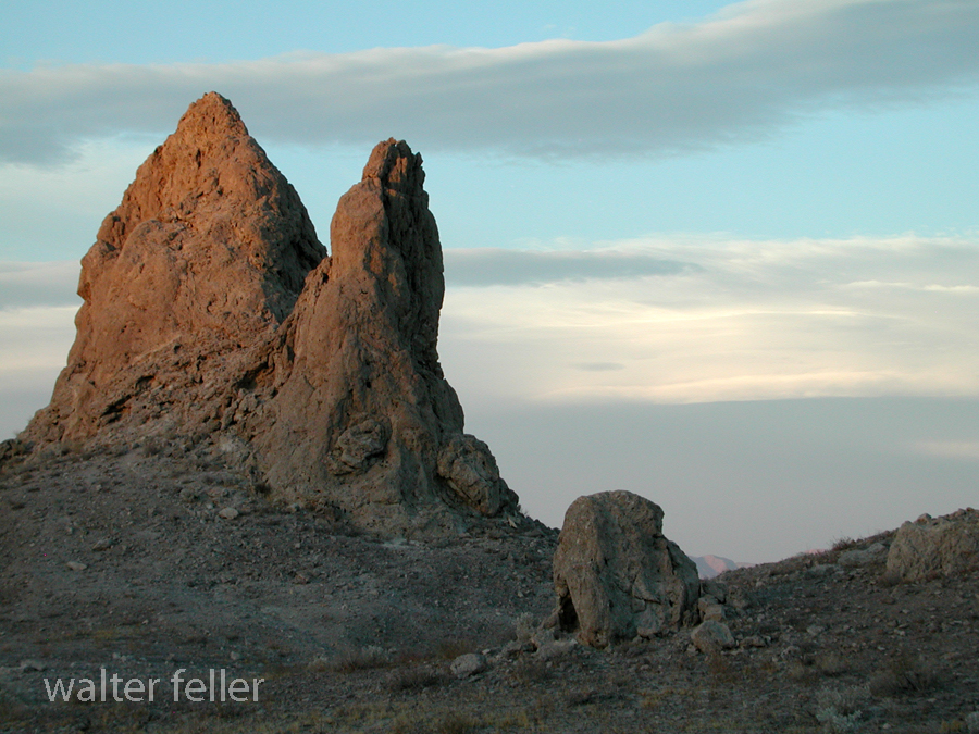
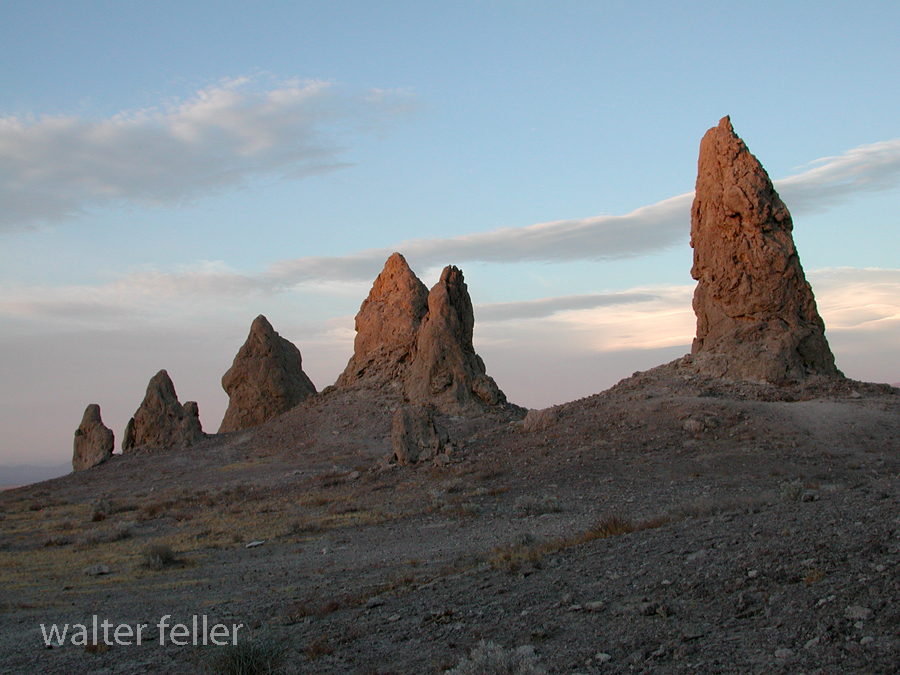
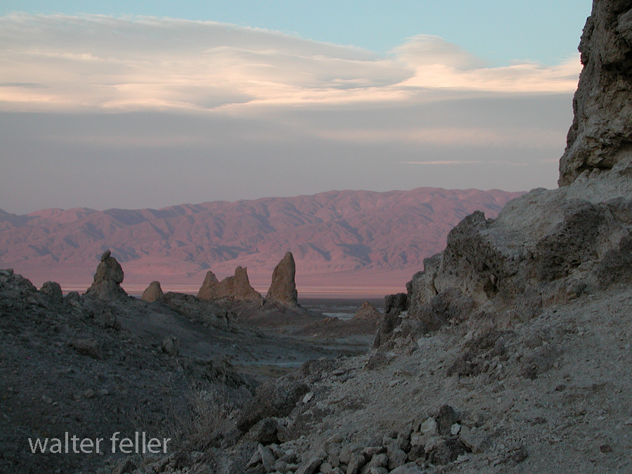
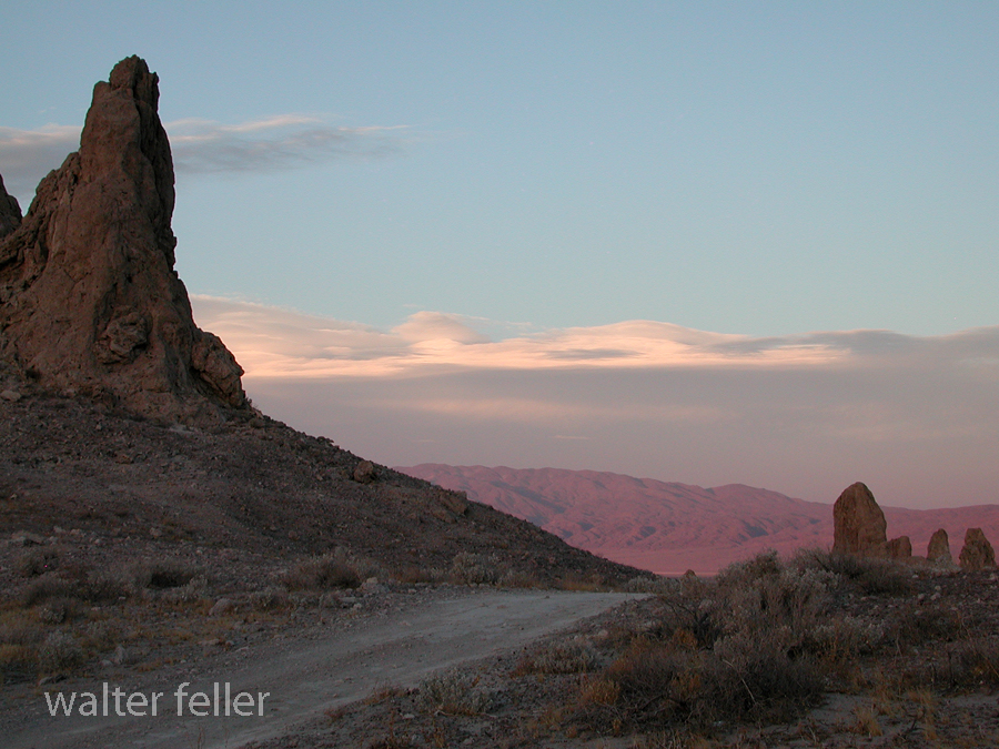
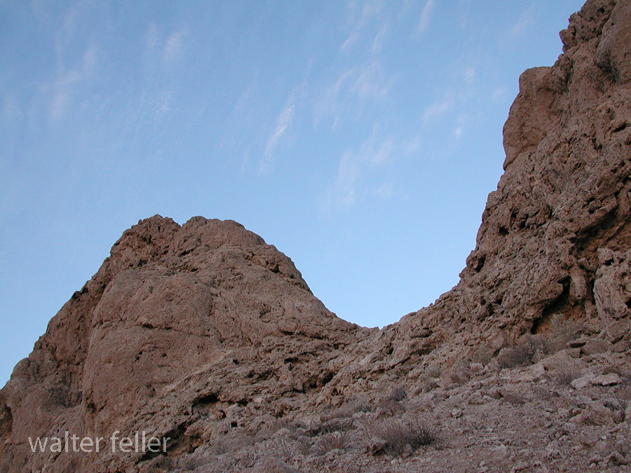
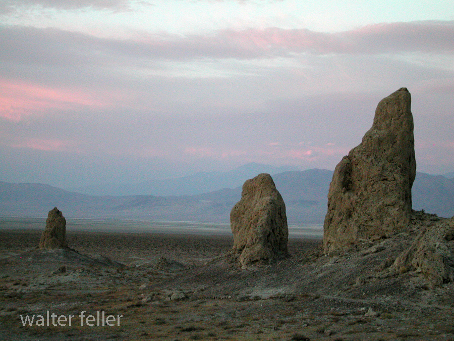
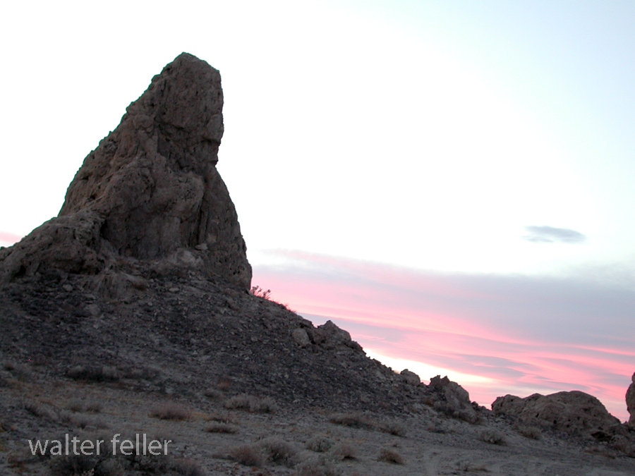
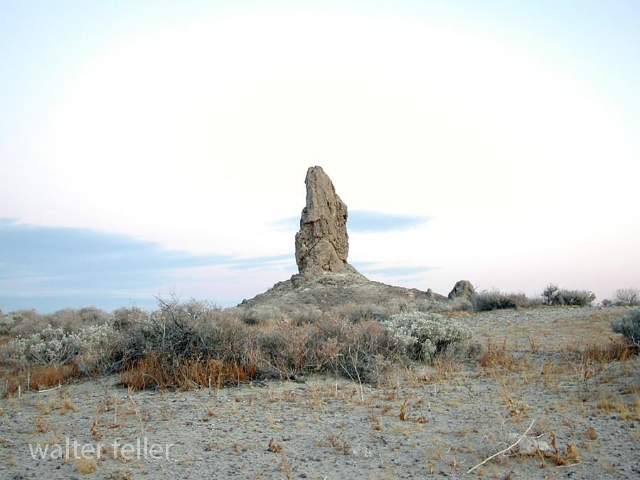
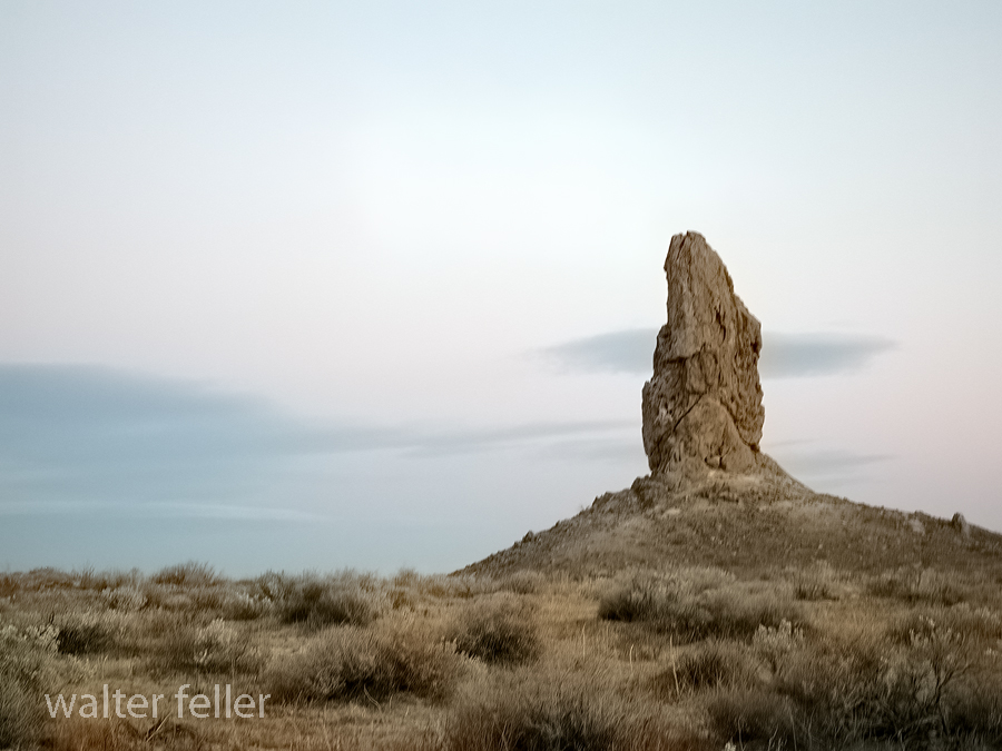
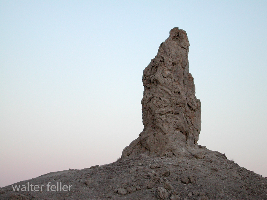
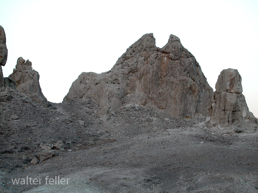
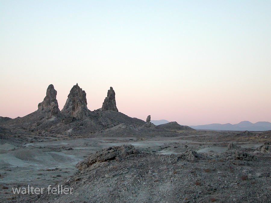
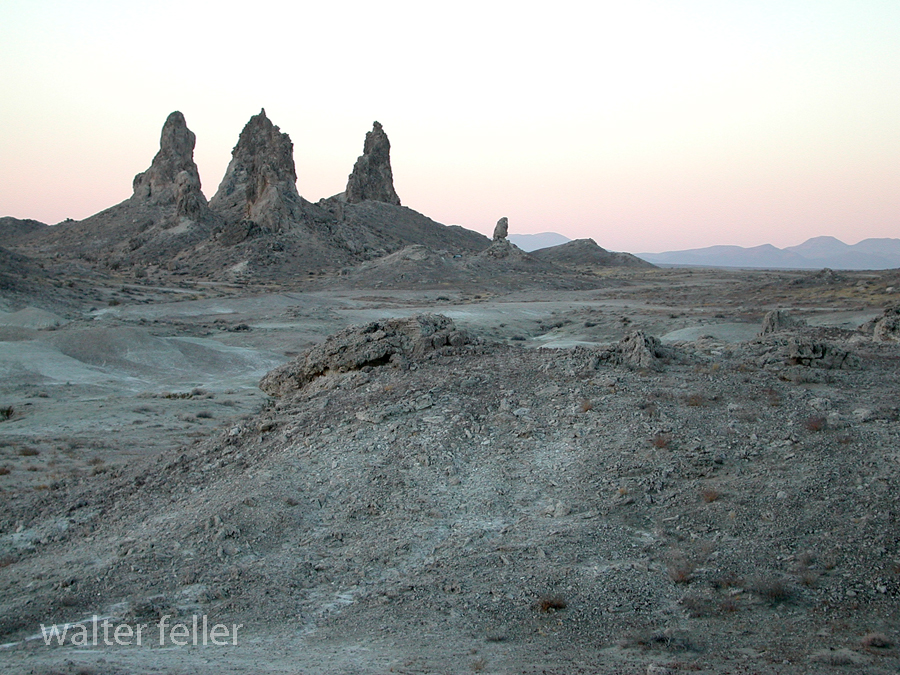
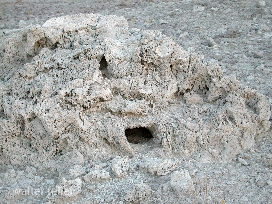
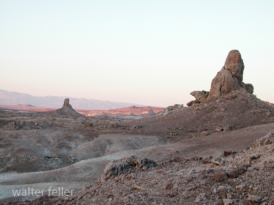
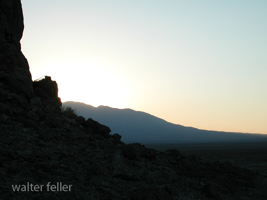
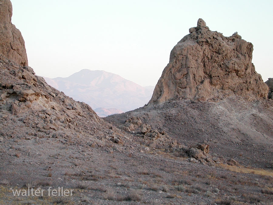
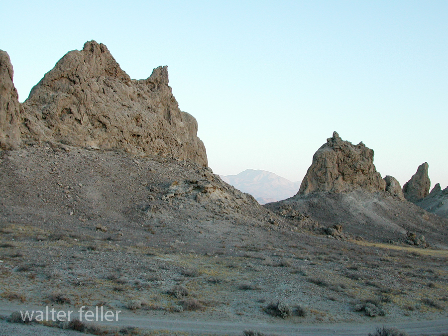
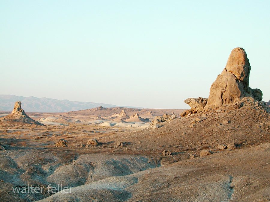
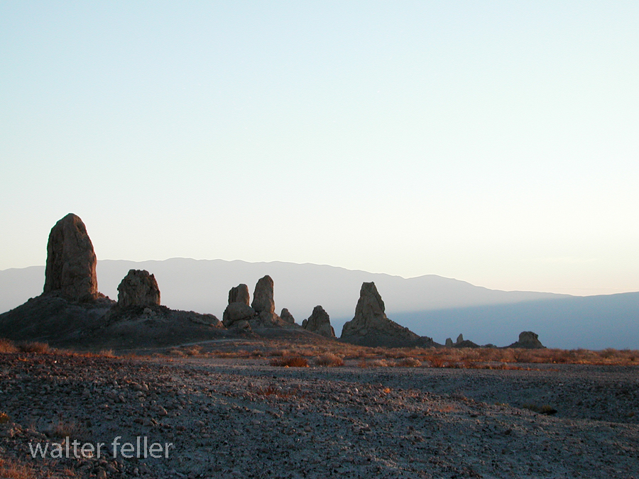
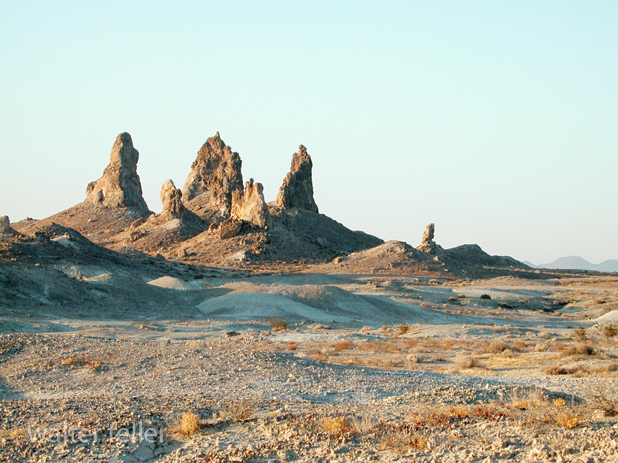
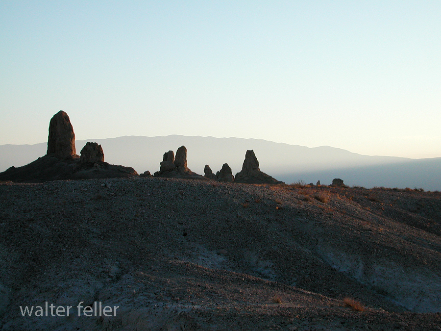
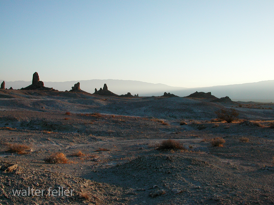
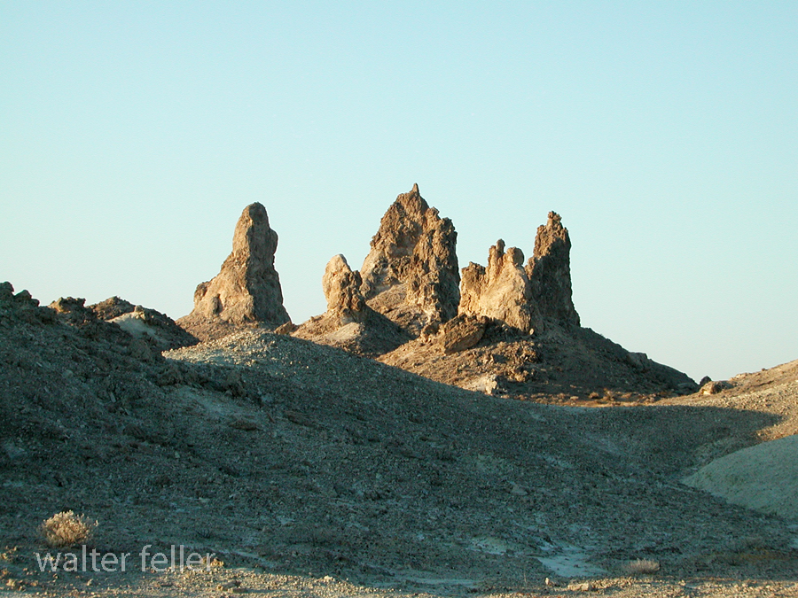
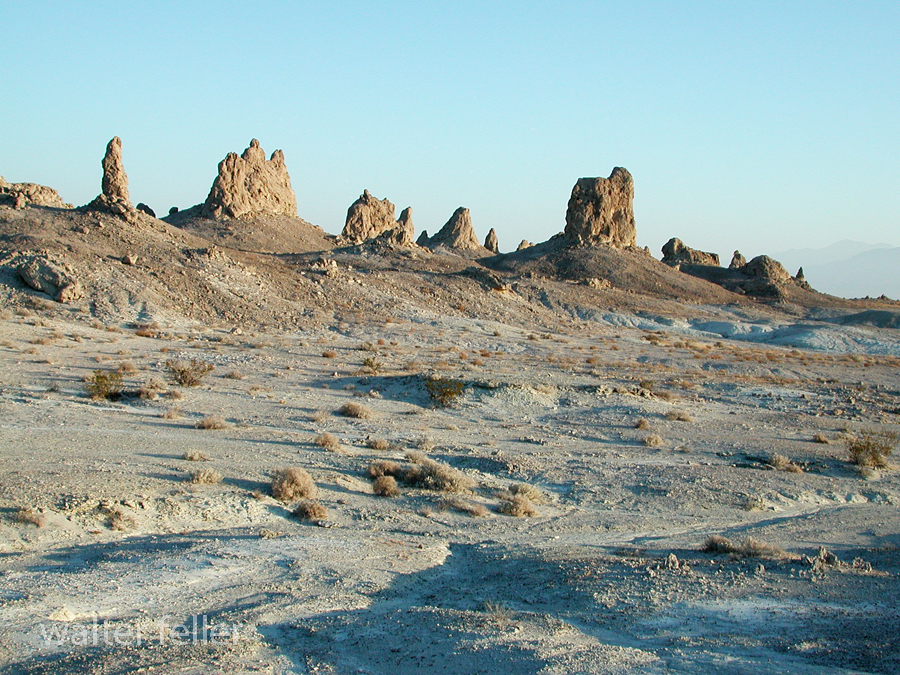
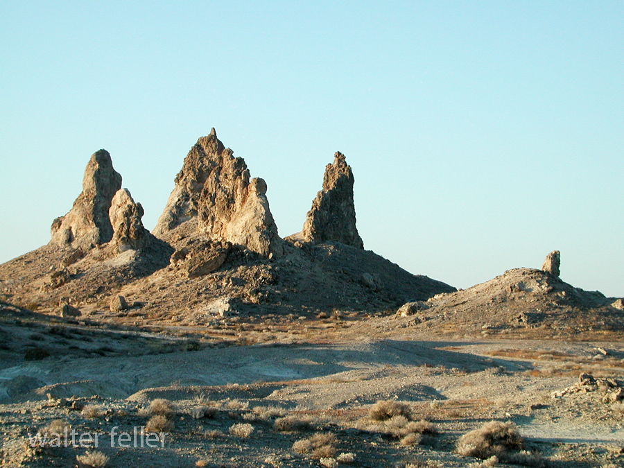
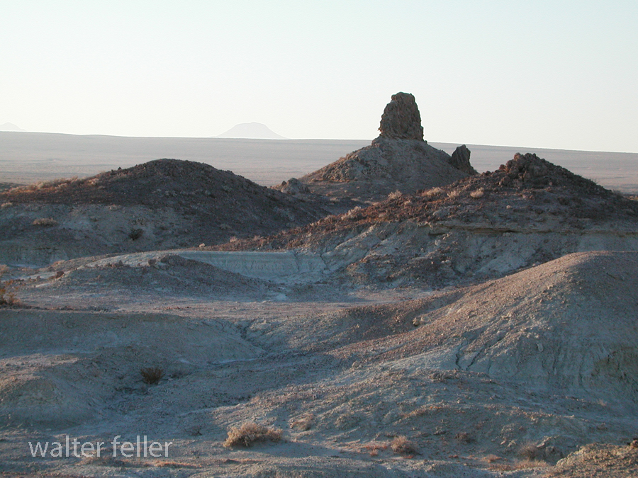
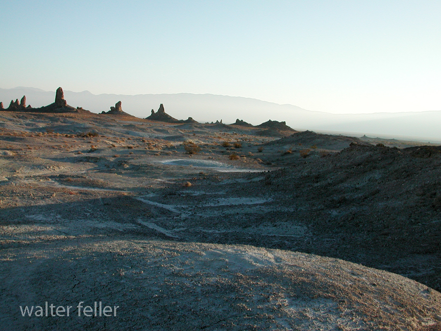
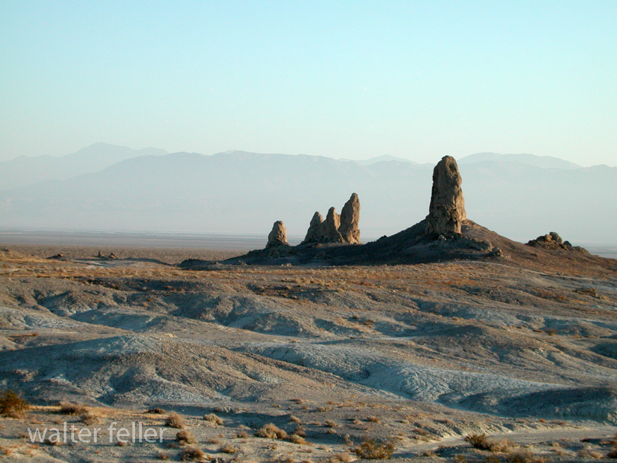
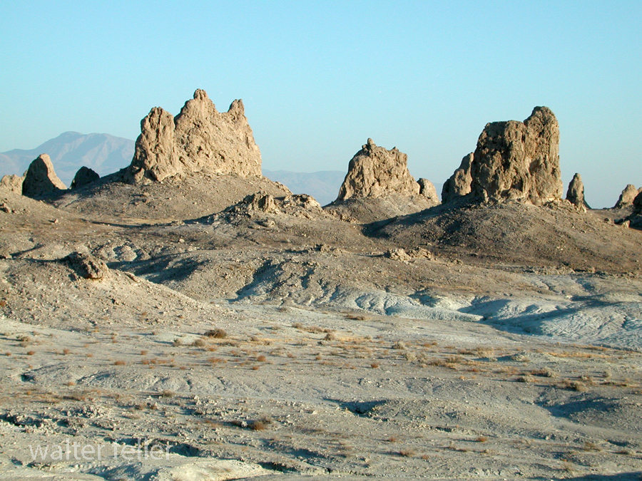
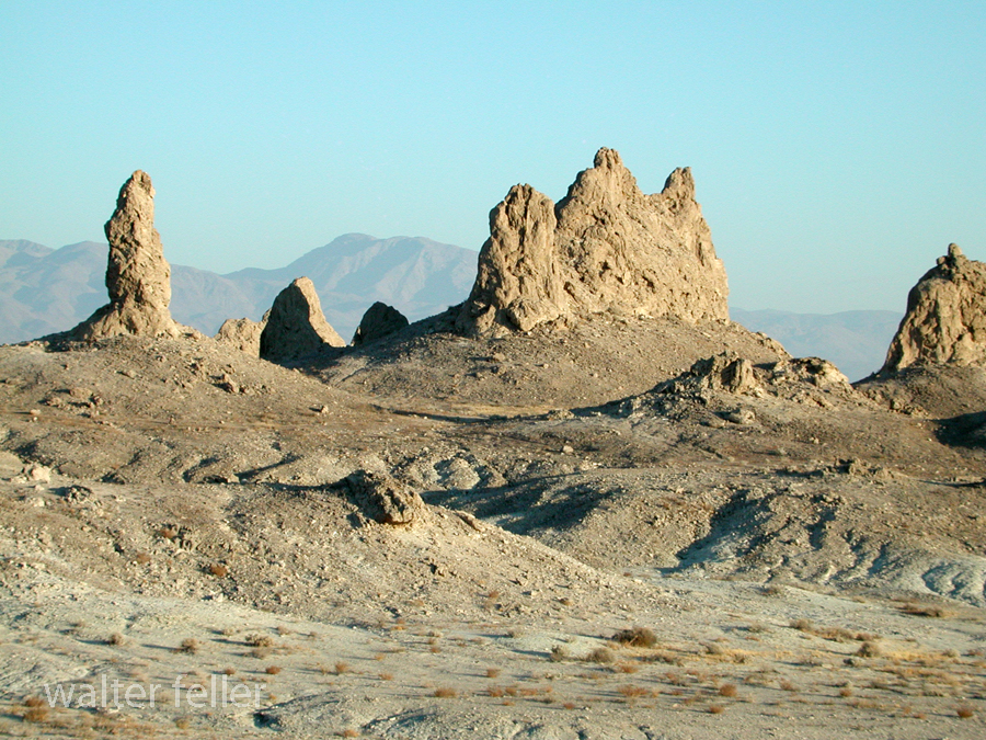
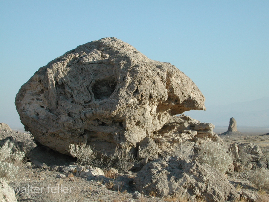
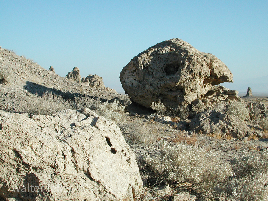
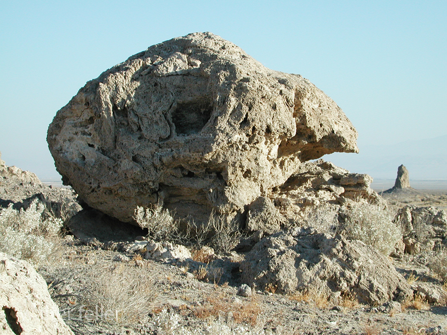
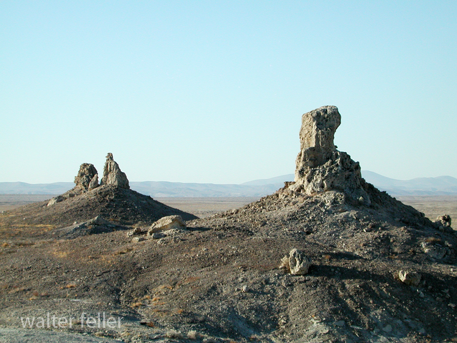
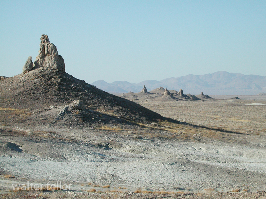
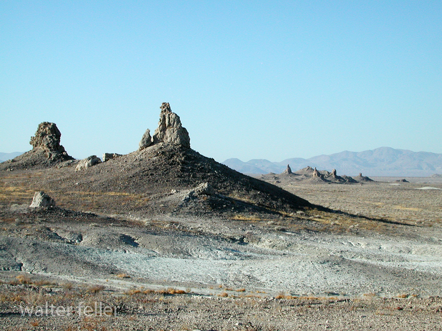
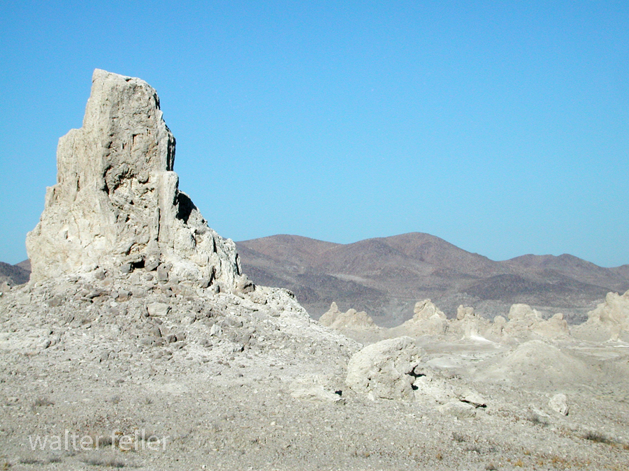
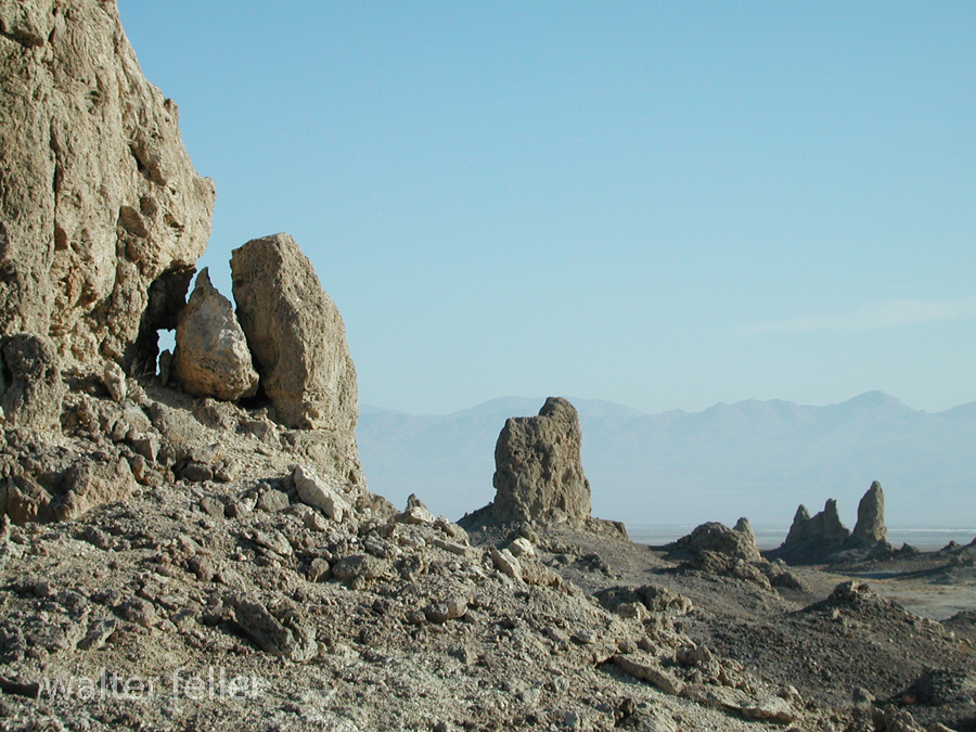
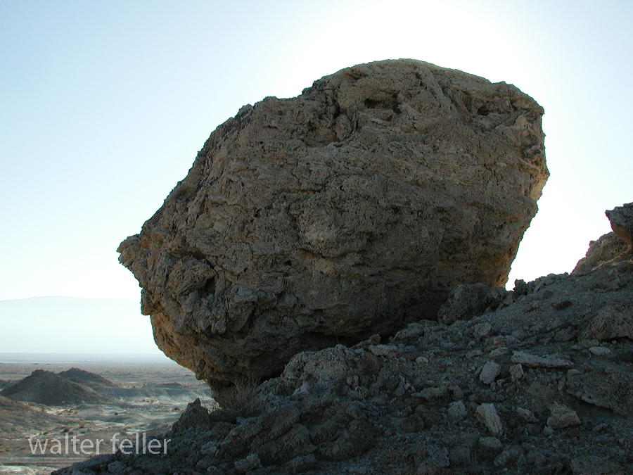
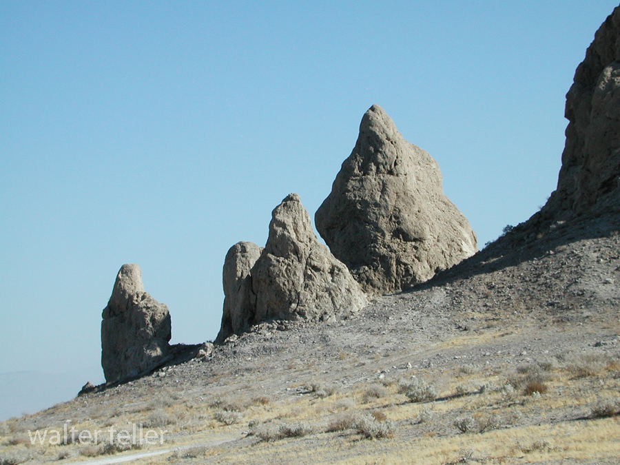
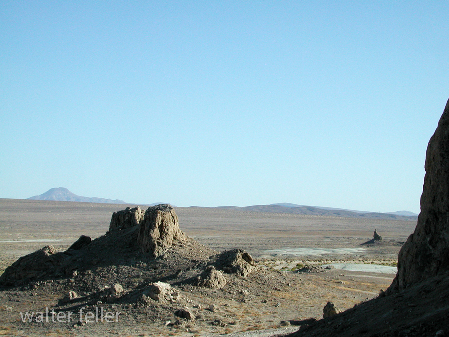
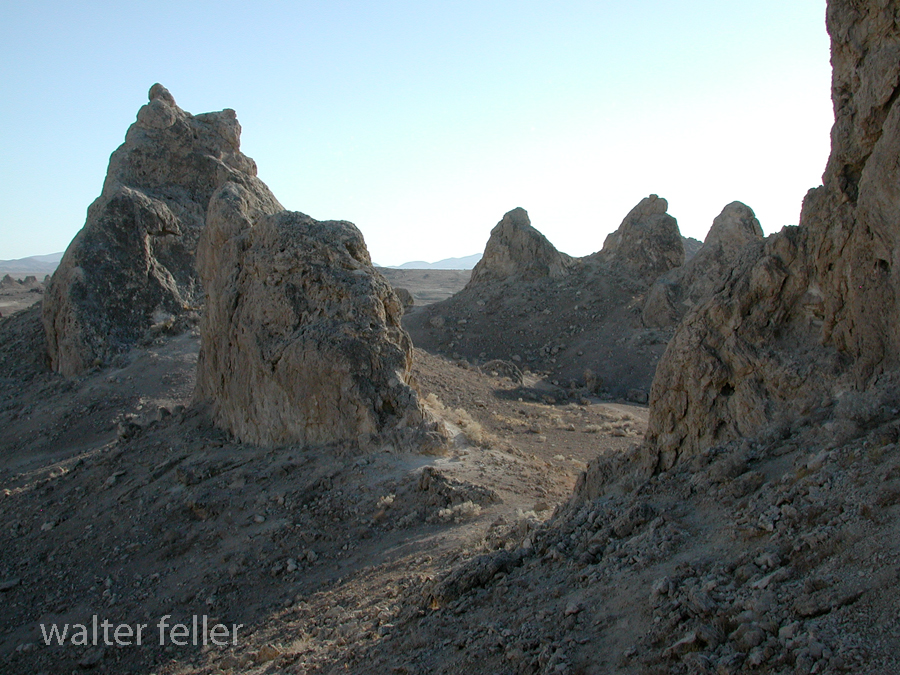
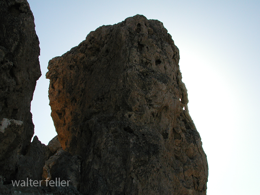
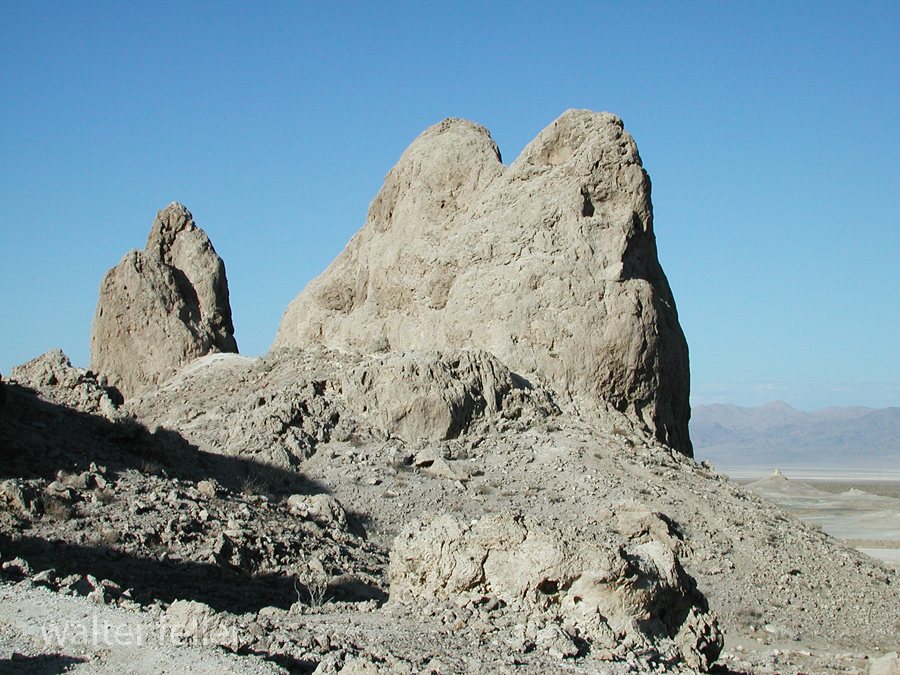
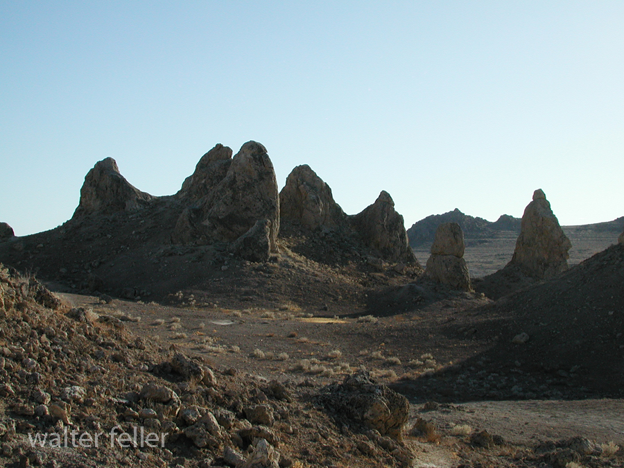
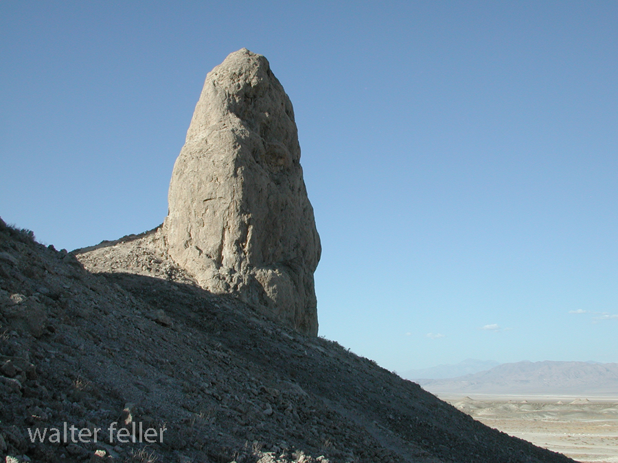
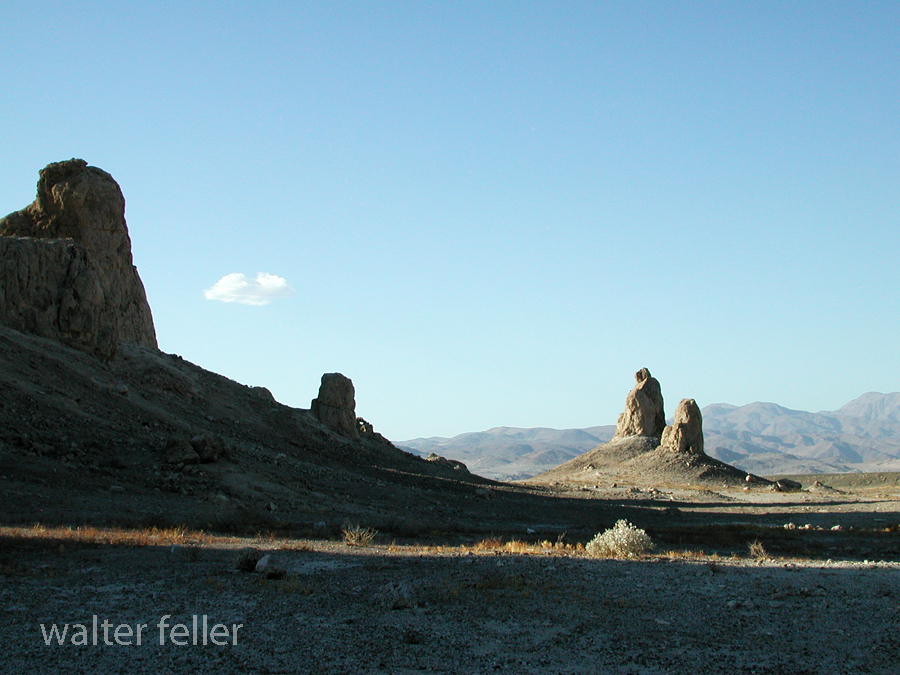
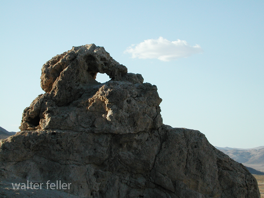
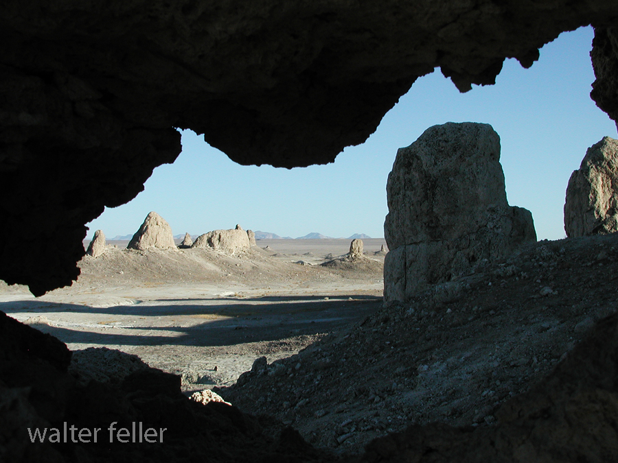
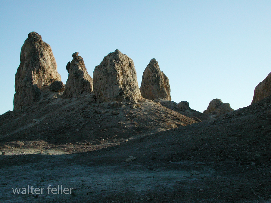
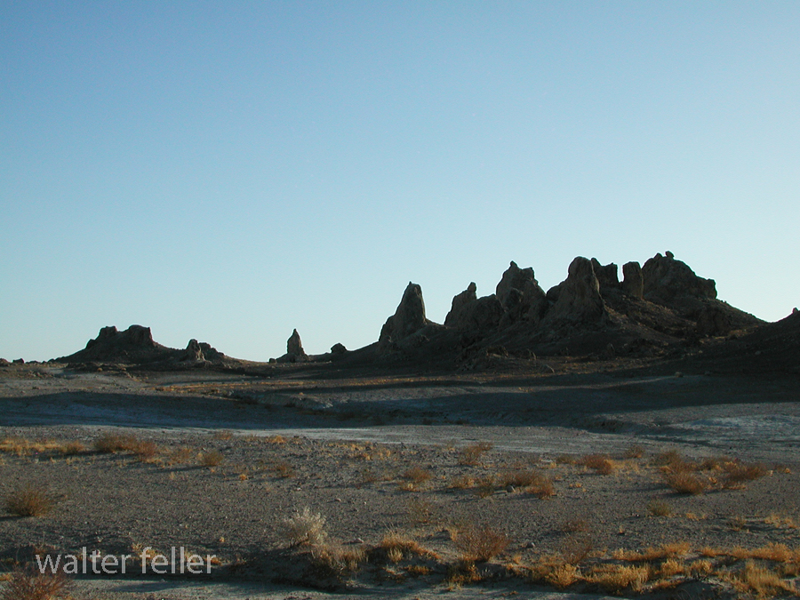
October 2004. Eddie the dog and I make a study of the Trona Pinnacles.



























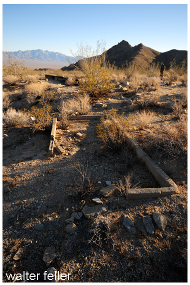
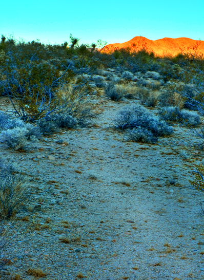
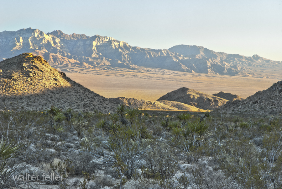
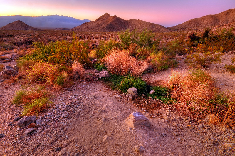
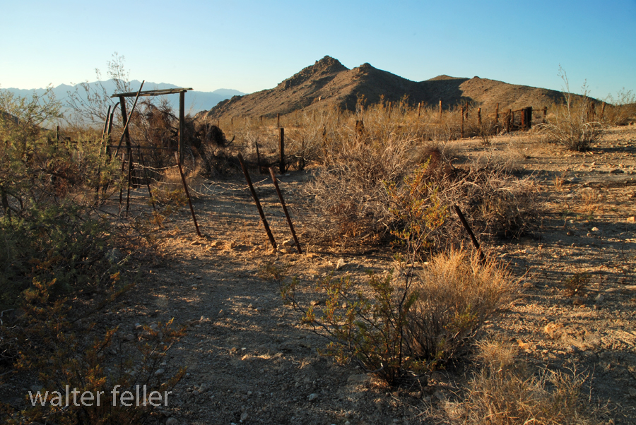
Marl Springs is a historical site located in the Mojave Desert National Preserve in California. The area has significance due to its role as a water source for travelers and settlers in the desert region. Here’s a brief history of Marl Springs:
Today, Marl Springs stands as a testament to the challenges and opportunities the Mojave Desert presents, showcasing the intersection of natural resources, human history, and the development of transportation routes in the American West.
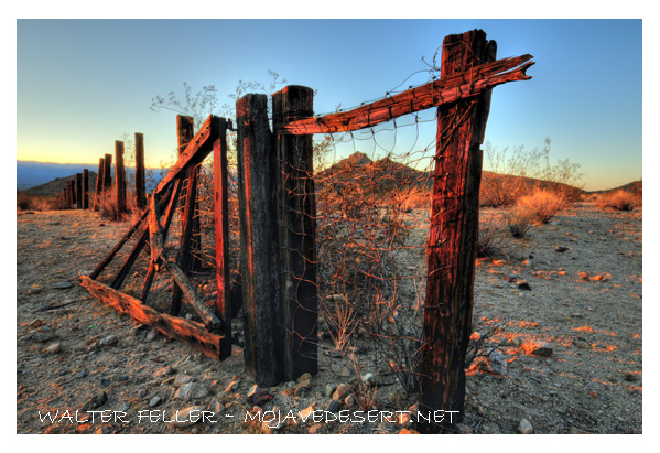
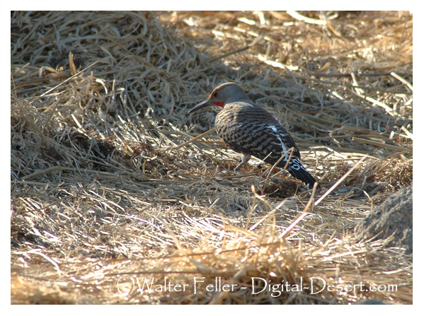
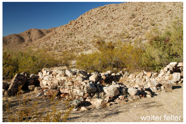
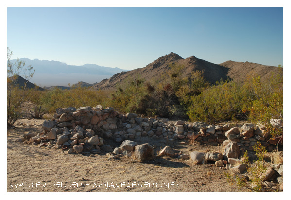
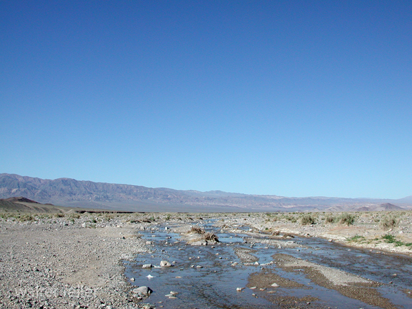
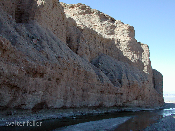
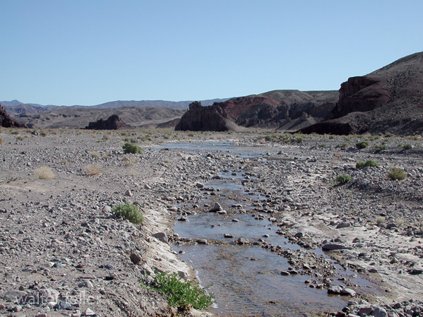
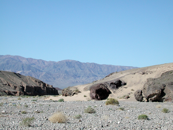
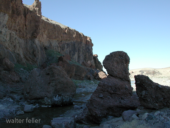
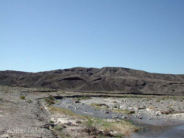
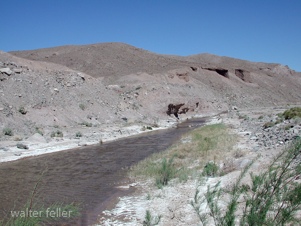
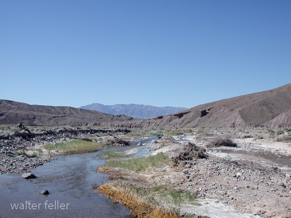
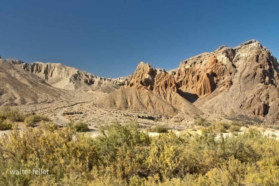
Afton Canyon is a scenic and geologically interesting area located in the Mojave Desert of Southern California, USA. It is often called the “Grand Canyon of the Mojave” due to its impressive and rugged landscapes. One of the notable features of Afton Canyon is its association with the Mojave River.
The Mojave River runs through Afton Canyon, creating a unique riparian (riverbank) environment amid the desert. The river, although intermittent in some sections, has carved a deep and narrow canyon through the surrounding sedimentary rocks, exposing colorful layers of sediment and providing a habitat for various plant and animal species.
Afton Canyon is part of the Mojave National Preserve, a unit of the National Park Service. The area is popular for outdoor activities such as hiking, bird watching, and camping. The canyon also features a historic railroad route, including a section known as the “Afton Canyon Natural Area,” which showcases the old railway trestle that spans the Mojave River.
The geology of Afton Canyon is noteworthy, as it exposes layers of sedimentary rocks, including sandstone and mudstone, which tell a story of the region’s geological history. The canyon’s formation is attributed to the erosive power of the Mojave River over time.
Visitors to Afton Canyon can explore its scenic beauty, enjoy recreational activities, and learn about the unique geological and natural features that make this area a special part of the Mojave Desert.
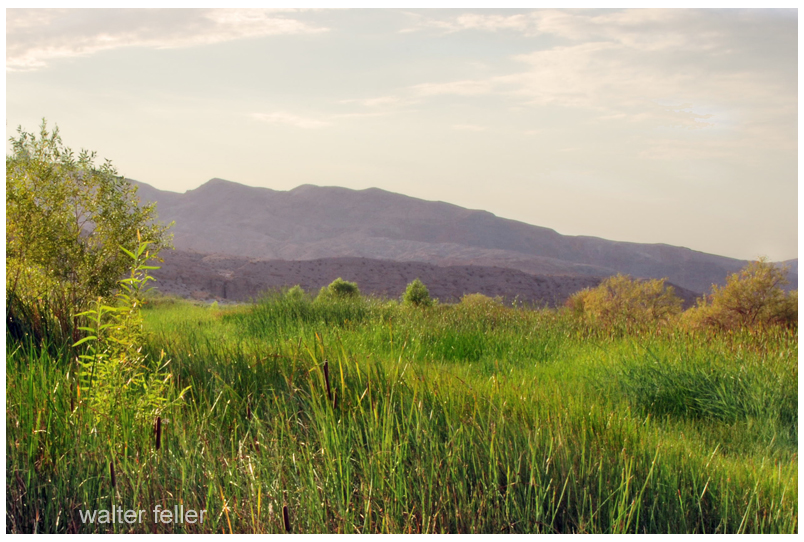
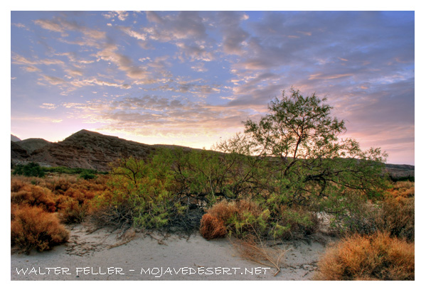
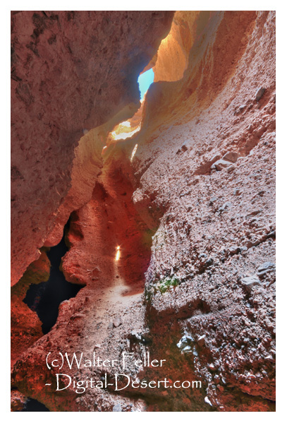
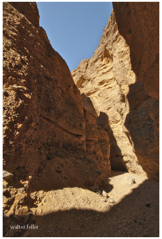
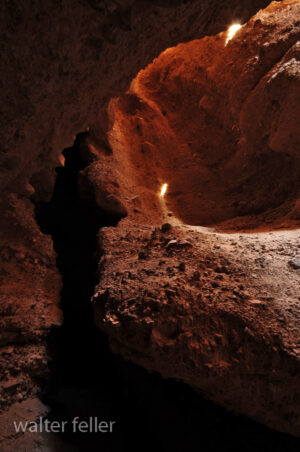
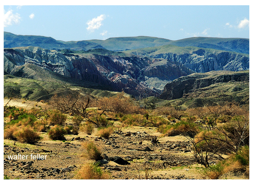
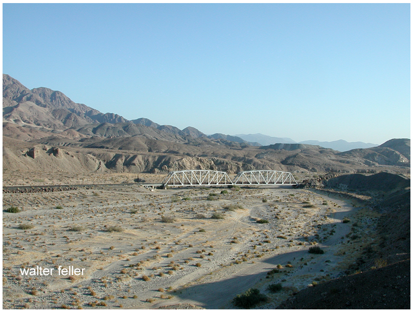
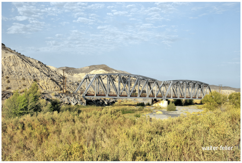
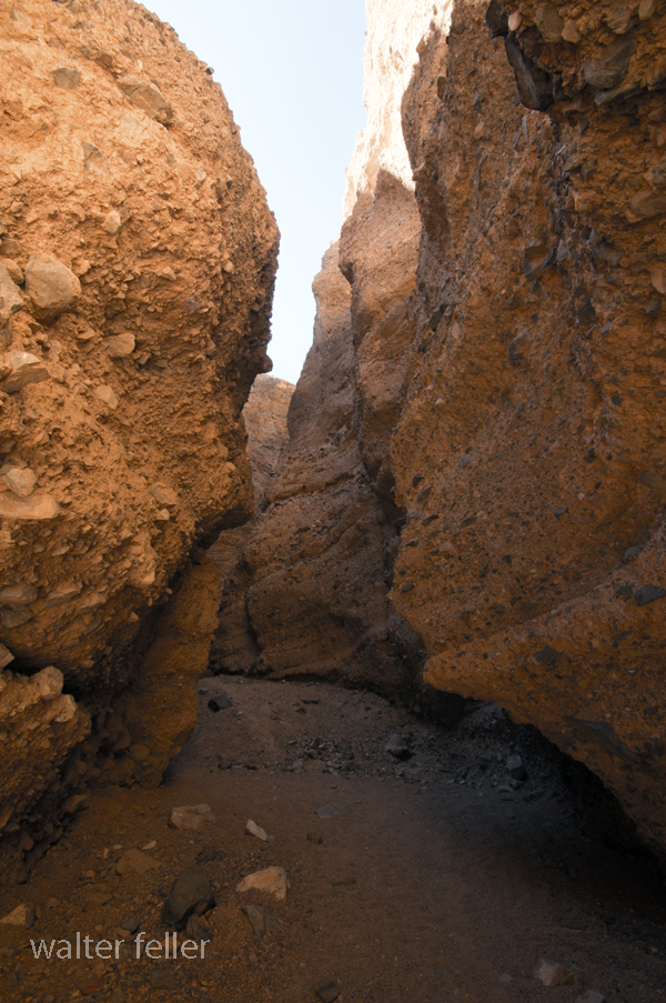
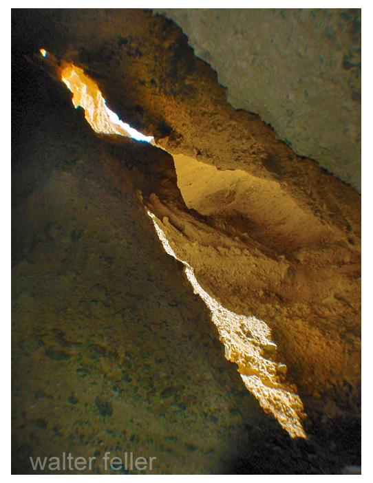
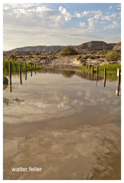
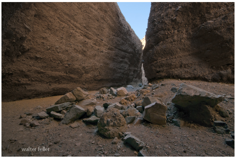

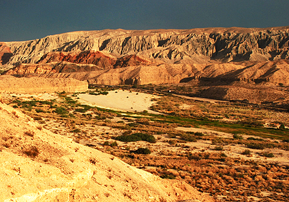
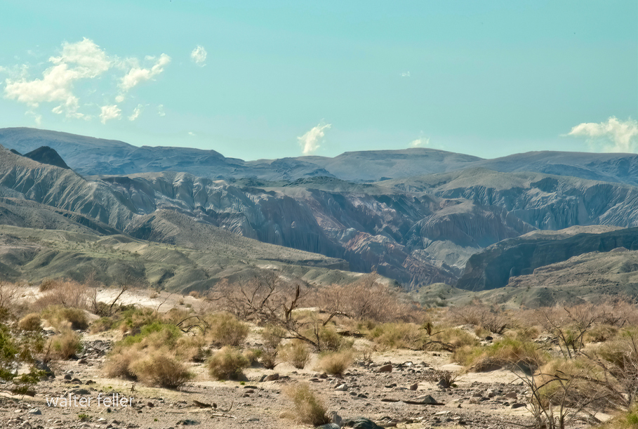
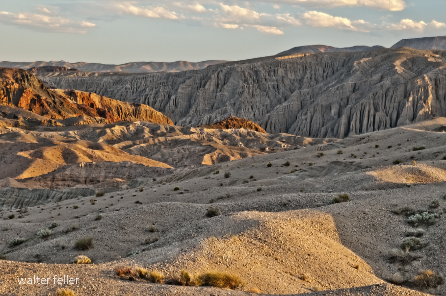
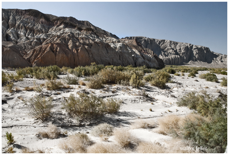
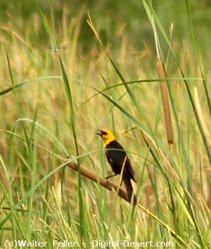
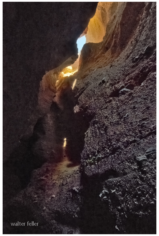

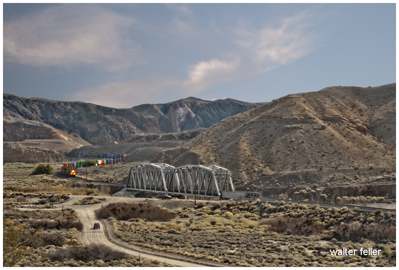
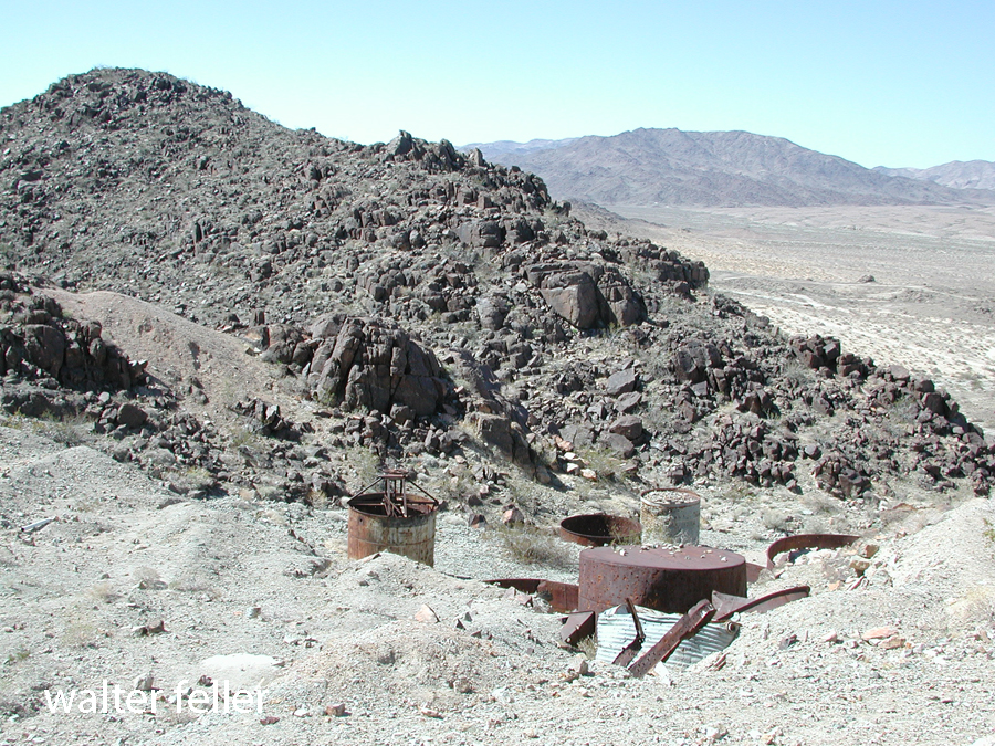
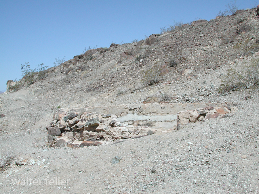
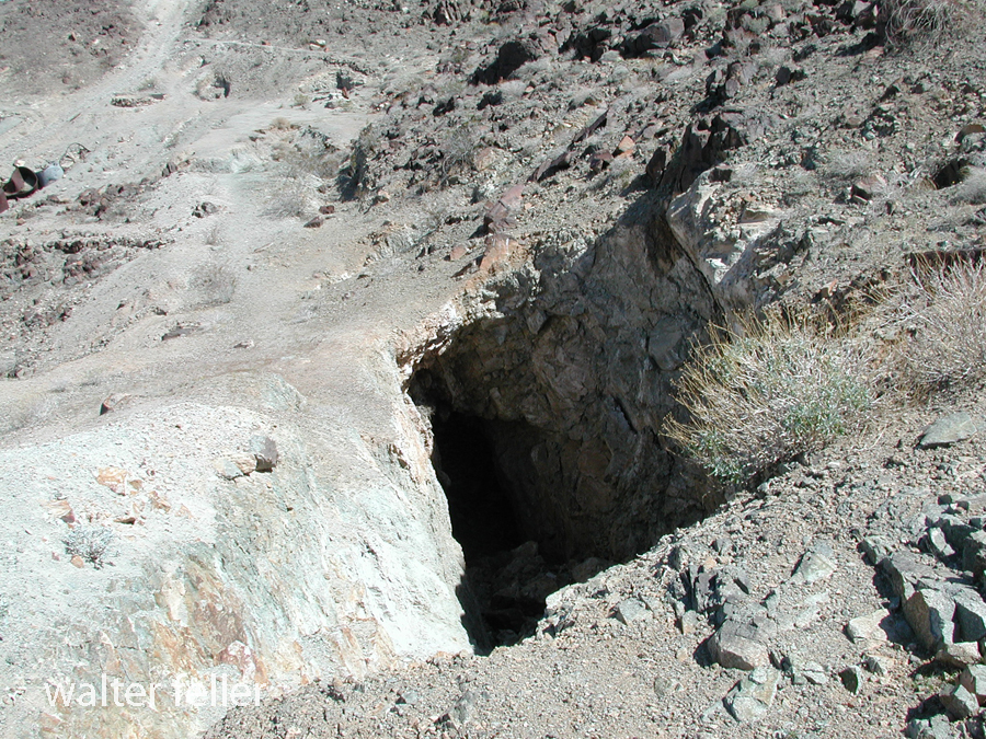
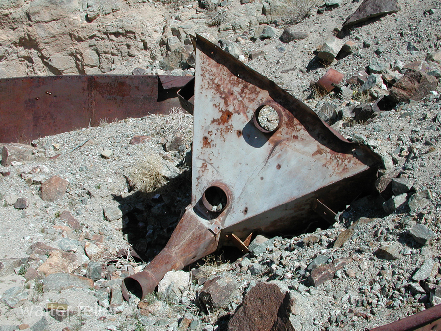
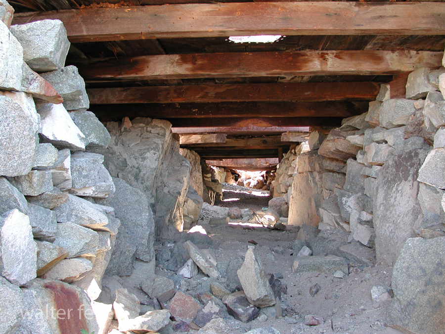
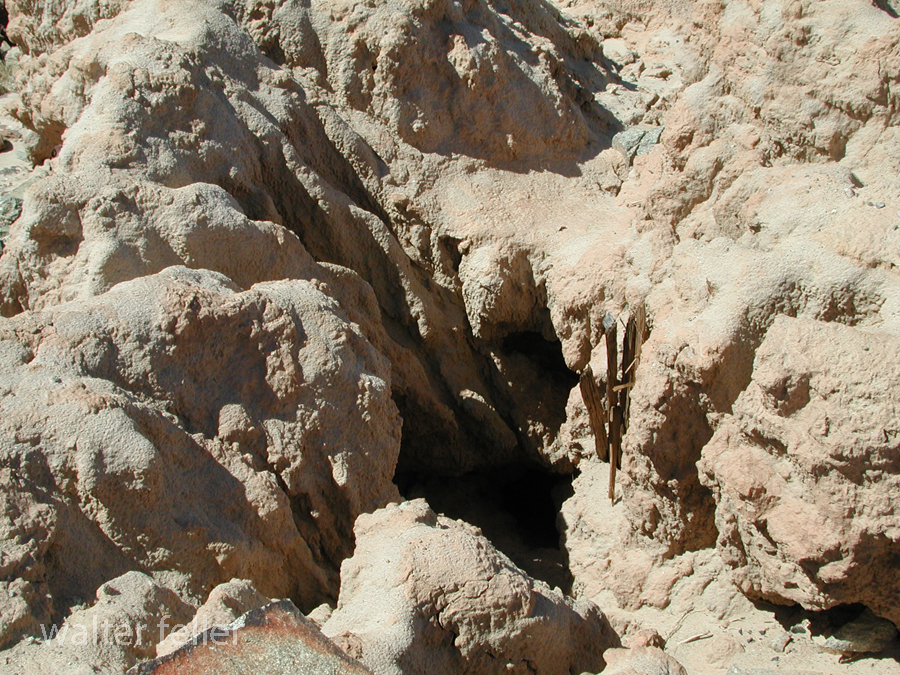
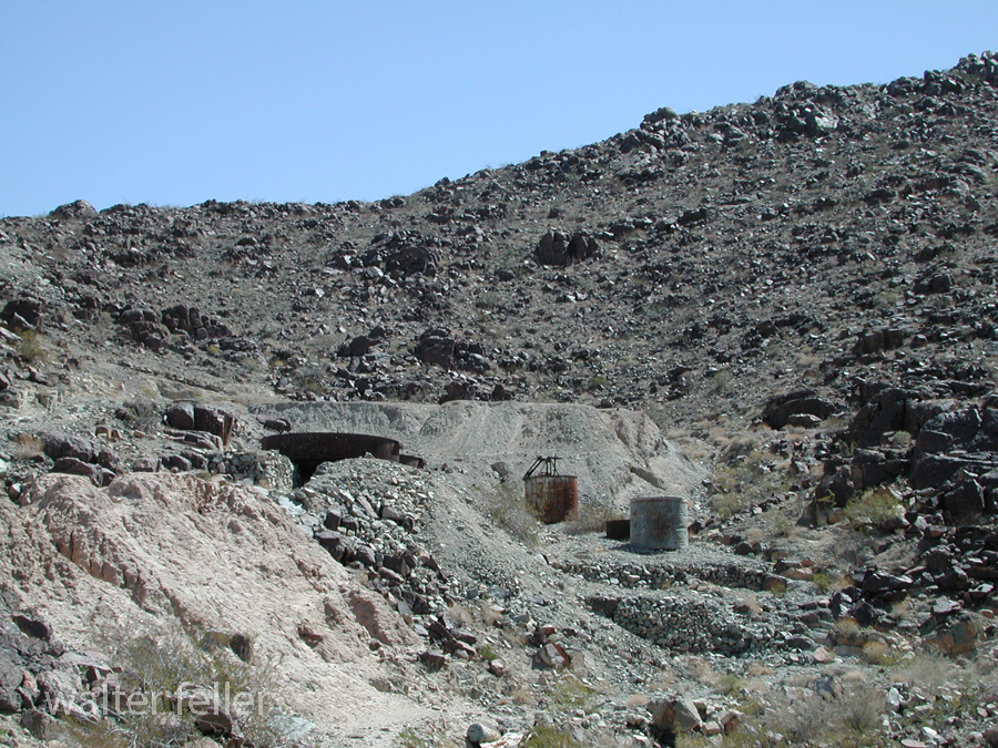
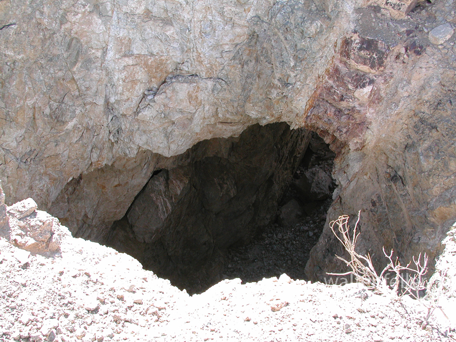
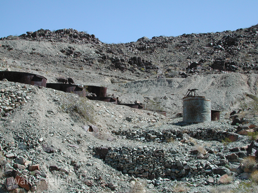
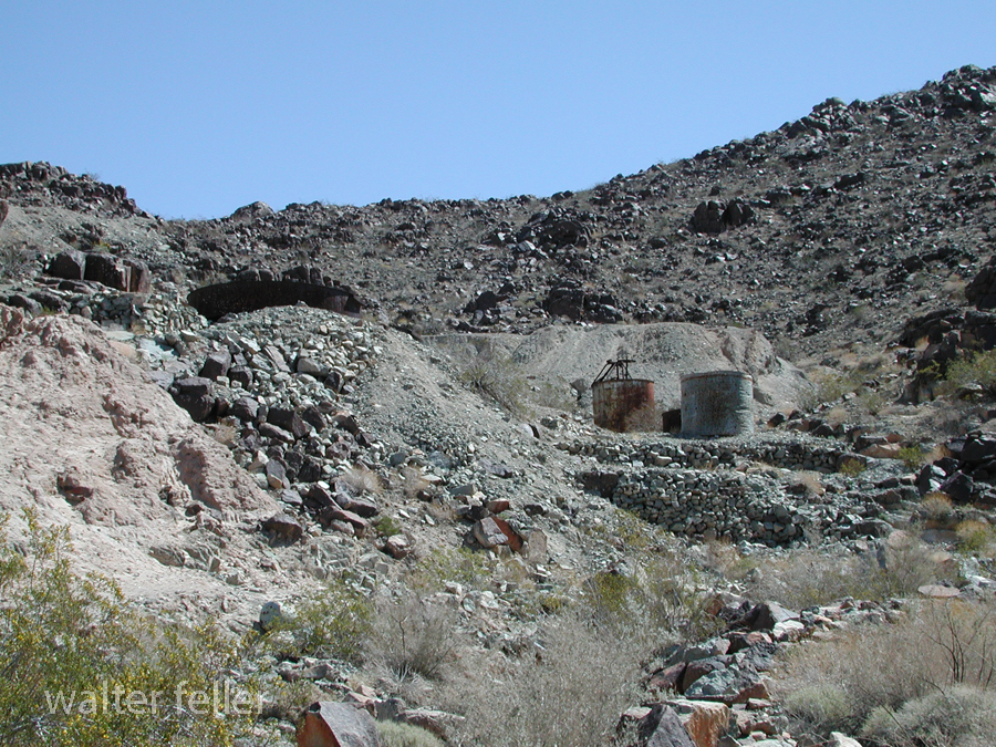
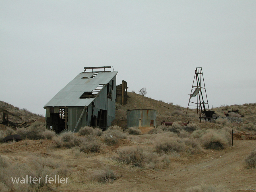
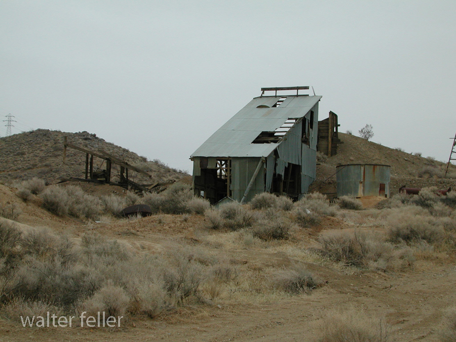
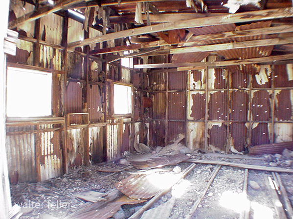
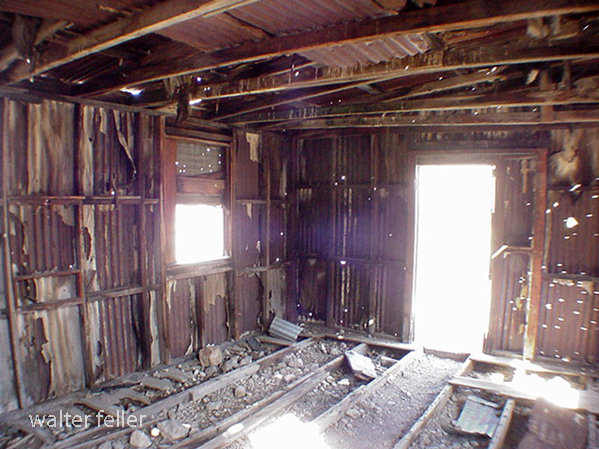
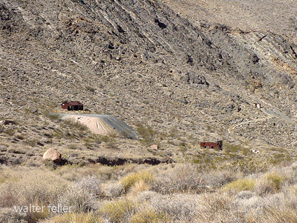
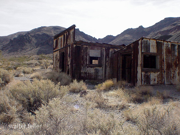
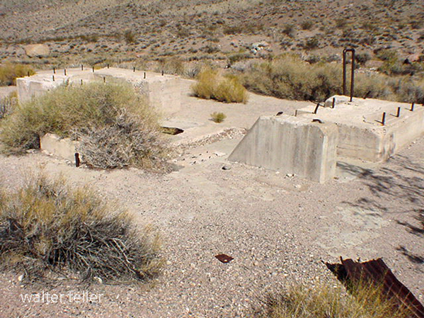
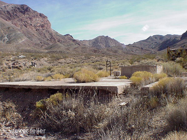
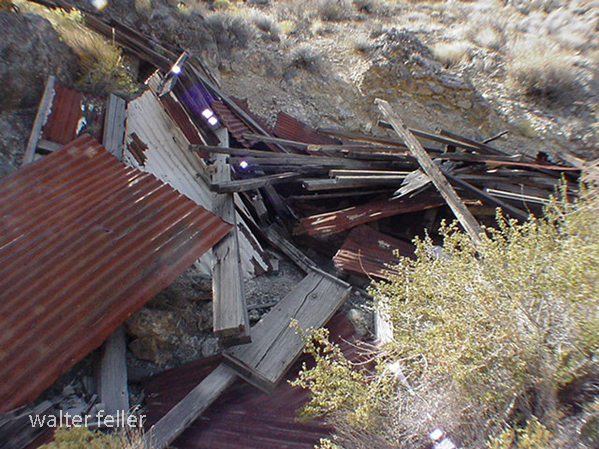
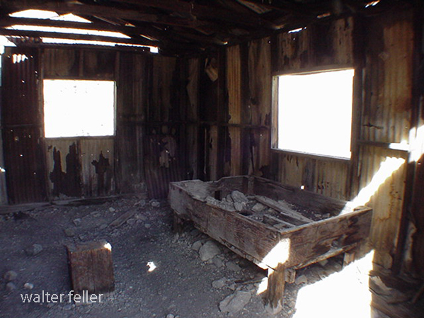
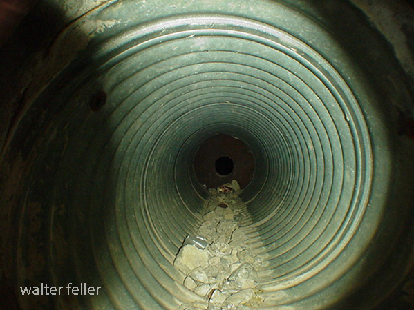
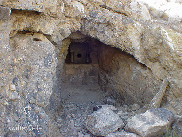
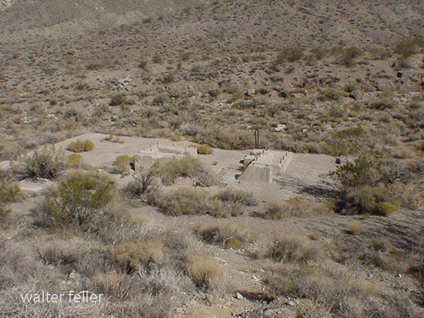
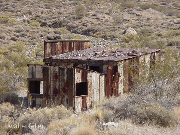
Photos of the Virginia Dale Mine in the Dale Mining District east of Twentynine Palms, Ca. — April 19, 2003.