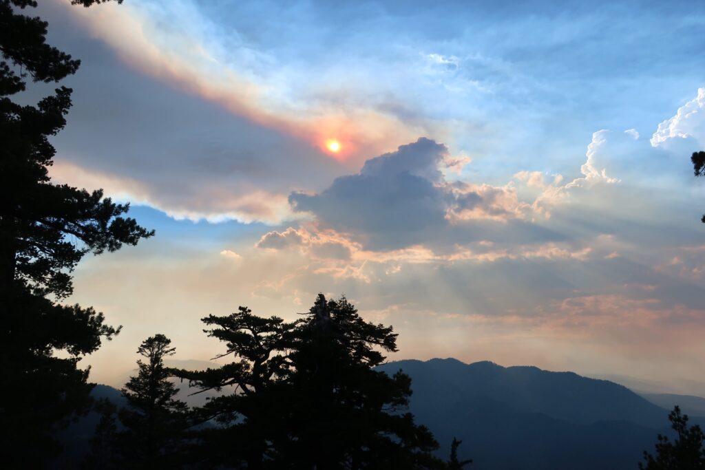
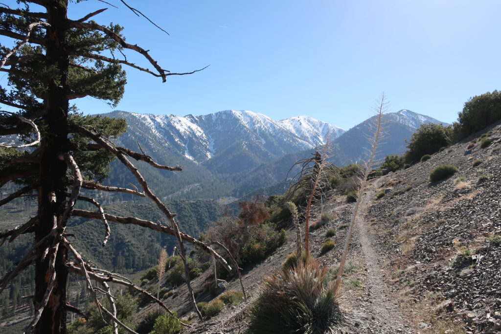
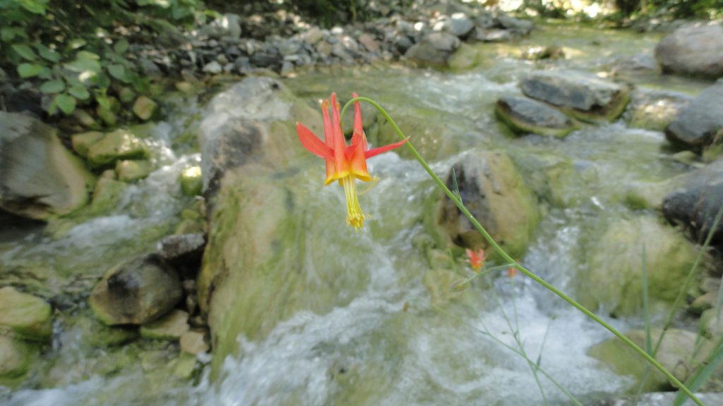
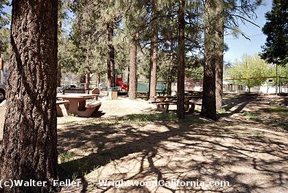
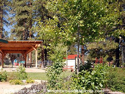
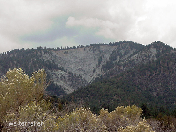
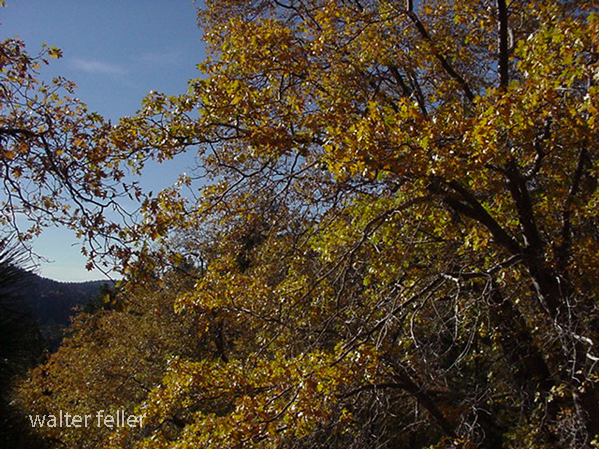
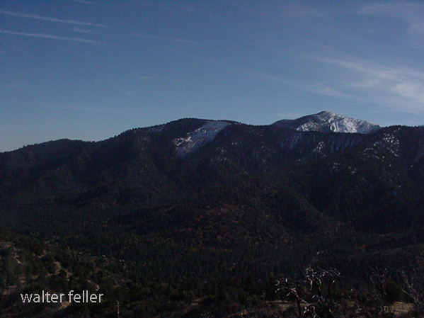
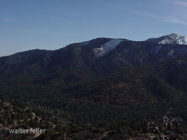
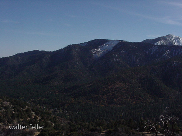
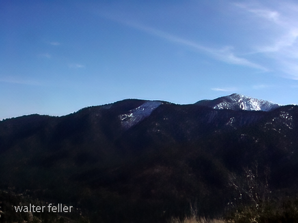
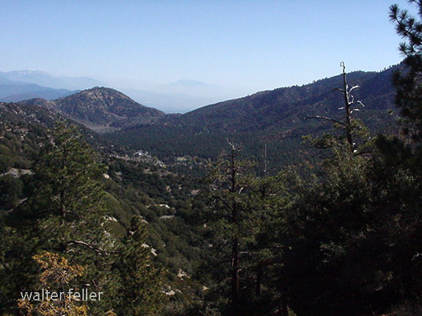
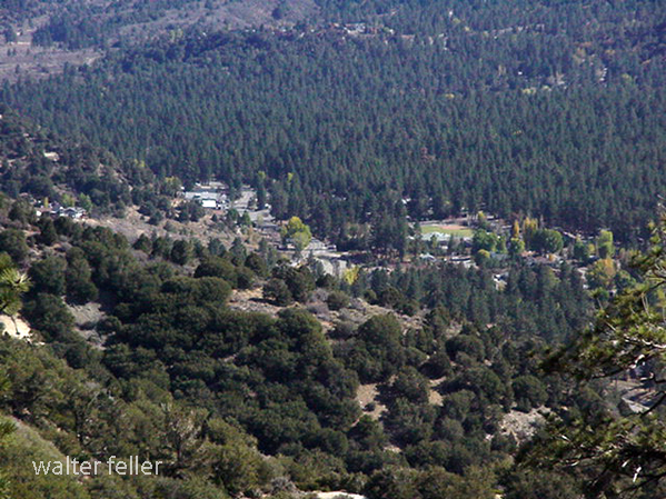
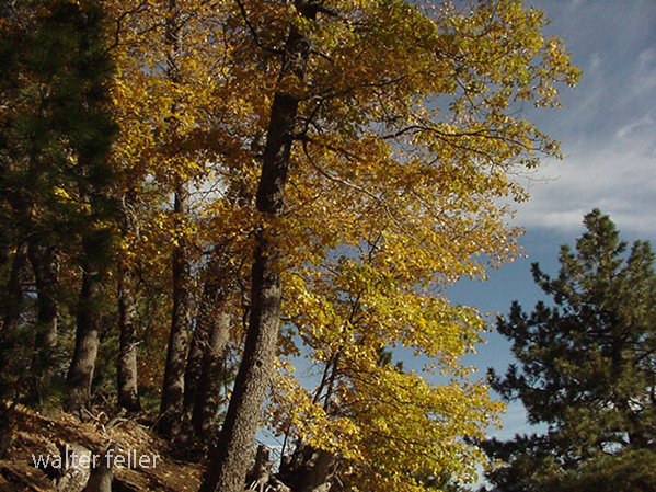
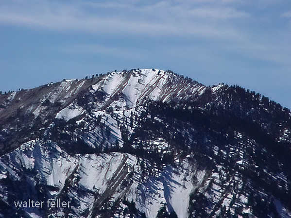
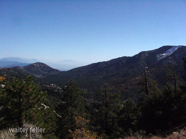
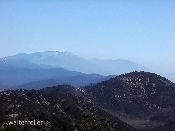
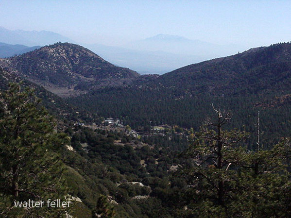
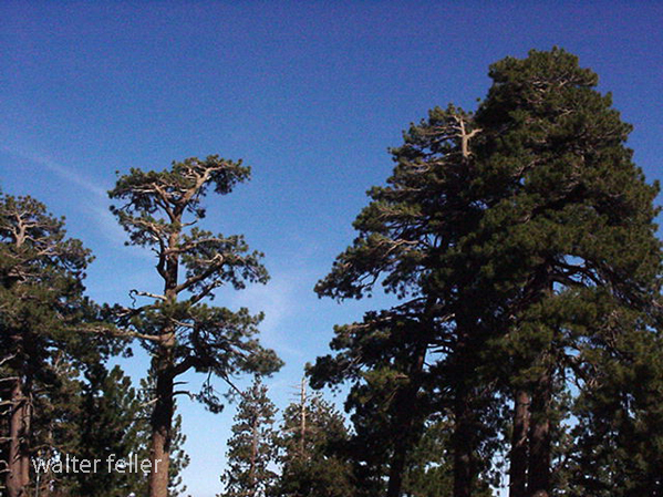
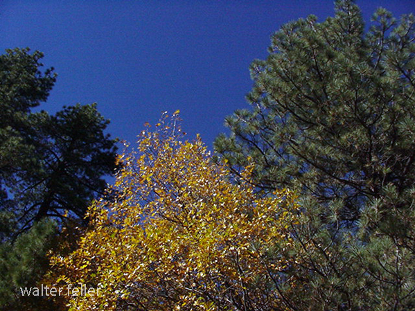
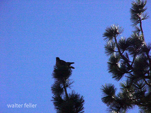
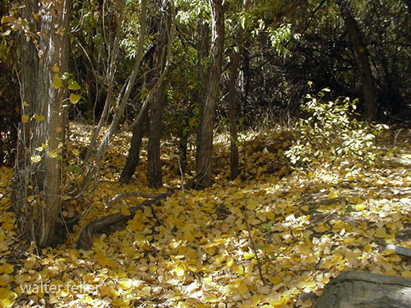
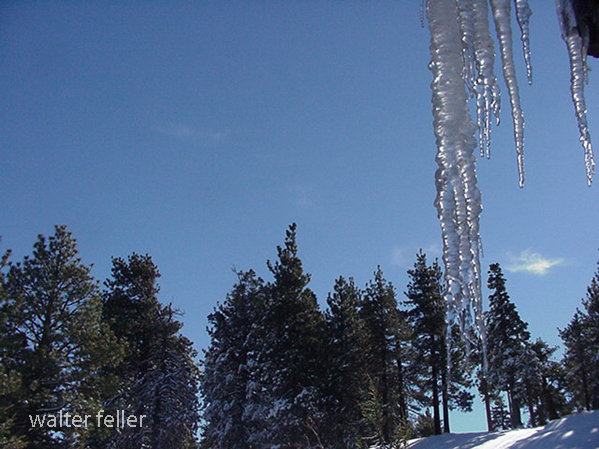
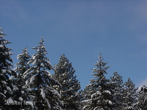
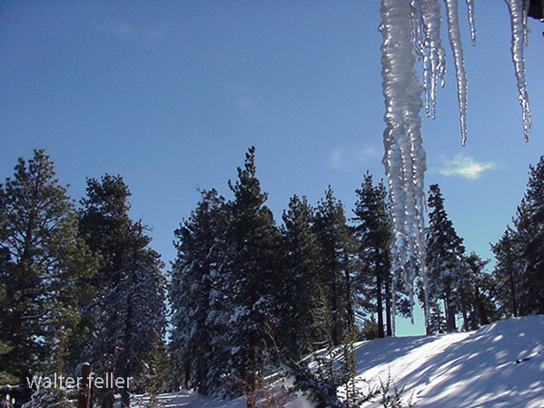
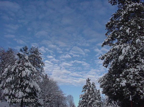
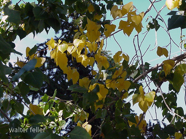
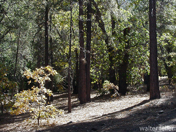
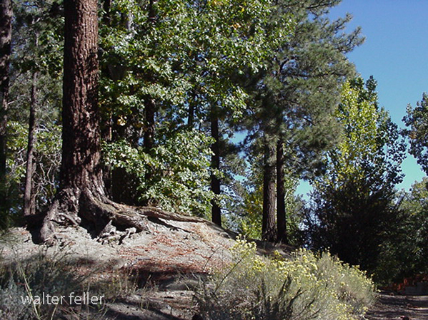
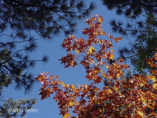
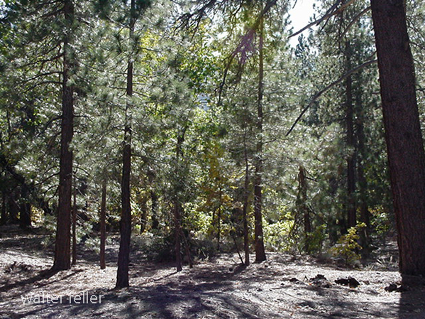
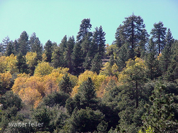
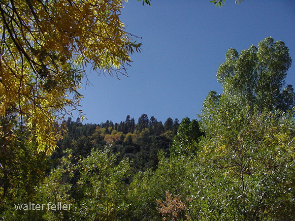
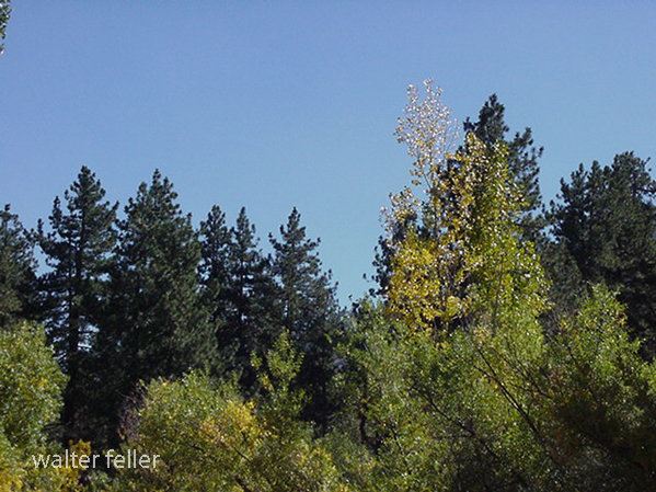
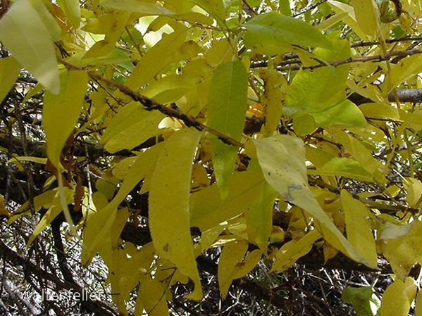
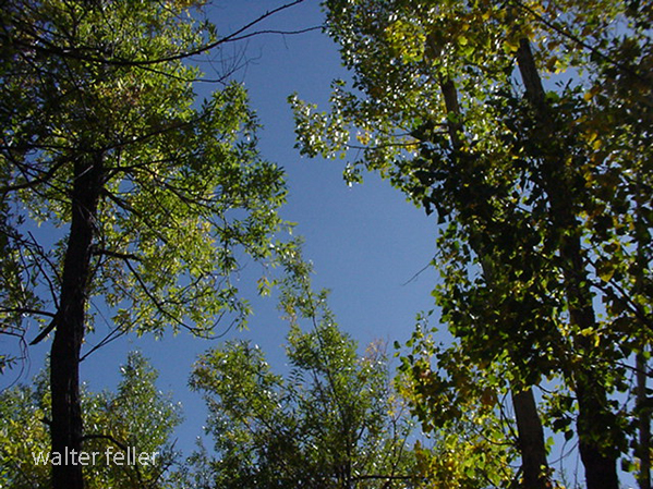
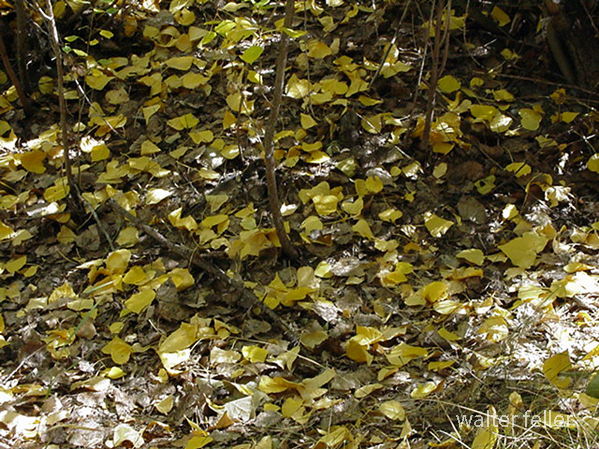
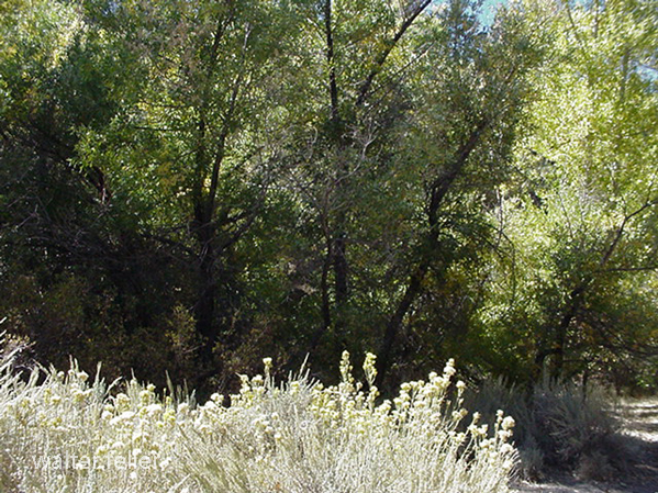
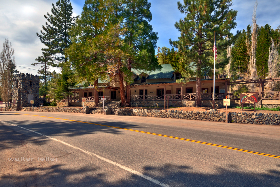
Big Pines Recreation Area, Angeles National Forest
Swarthout Lodge, located in the Big Pines Recreation Area of the Angeles National Forest, has a rich history tied to developing recreational facilities in Southern California. Here’s a detailed overview of its history:
Early Beginnings
- 1924: The Los Angeles County Board of Supervisors established the Big Pines Recreation Area as a mountain resort to promote public recreation. This was part of a broader effort to make the natural beauty of the San Gabriel Mountains accessible to the public.
- Initial Development: The area quickly became popular for winter sports and summer activities. Facilities such as lodges, cabins, and a ski jump were constructed to accommodate visitors.
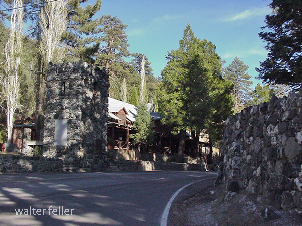
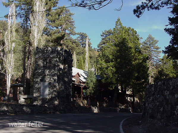
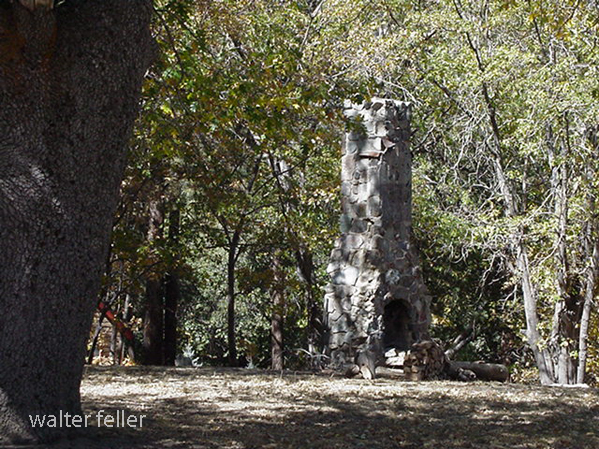
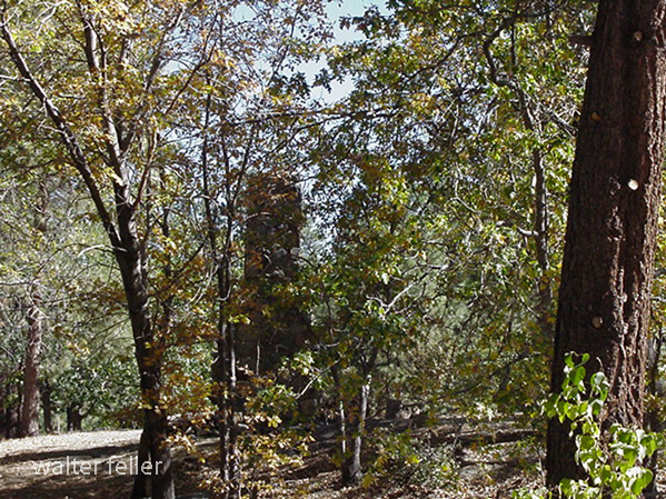
Swarthout Lodge
- Construction: Swarthout Lodge was one of the central buildings in the Big Pines Recreation Area. Named after H. L. Swarthout, the lodge served as a visitor hub.
- Architecture: The lodge was designed in a rustic style typical of mountain resorts of the era. Its focus was on blending into the natural surroundings while providing essential amenities for guests.
Role in Recreation
- Winter Sports: The lodge played a significant role in promoting winter sports, particularly skiing. Big Pines became a premier destination for Southern Californians seeking snow sports, and Swarthout Lodge was at the heart of this activity.
- Summer Activities: During the summer, the lodge served as a base for hiking, fishing, and other outdoor activities. Its location in the Angeles National Forest provided easy access to numerous trails and scenic spots.
Decline and Changes
- Mid-20th Century: As recreational trends changed and other mountain resorts developed, the popularity of Big Pines and Swarthout Lodge began to decline. Additionally, natural disasters like fires and floods affected the area, leading to periods of reconstruction and change.
- Transition: Over the years, the lodge’s management and use evolved. Parts of the original facilities were repurposed or fell into disrepair, reflecting broader changes in public recreation and forest management policies.
Legacy and Current Status
- Preservation Efforts: In recent years, efforts have been made to preserve and restore historic structures within the Big Pines Recreation Area, including Swarthout Lodge. These efforts aim to maintain the historical significance and promote the area’s rich heritage.
- Modern Use: Today, the Big Pines Recreation Area offers recreational opportunities, although the focus has shifted to more sustainable and environmentally conscious practices. Swarthout Lodge’s history remains a testament to the early efforts to make natural landscapes accessible for public enjoyment.
With its historical significance and role in the development of outdoor recreation in Southern California, Swarthout Lodge remains an important part of the heritage and history of the Angeles National Forest.