The Story of Lovejoy Springs becoming Lake Los Angeles, in maps …
/lake-los-angeles-ca/
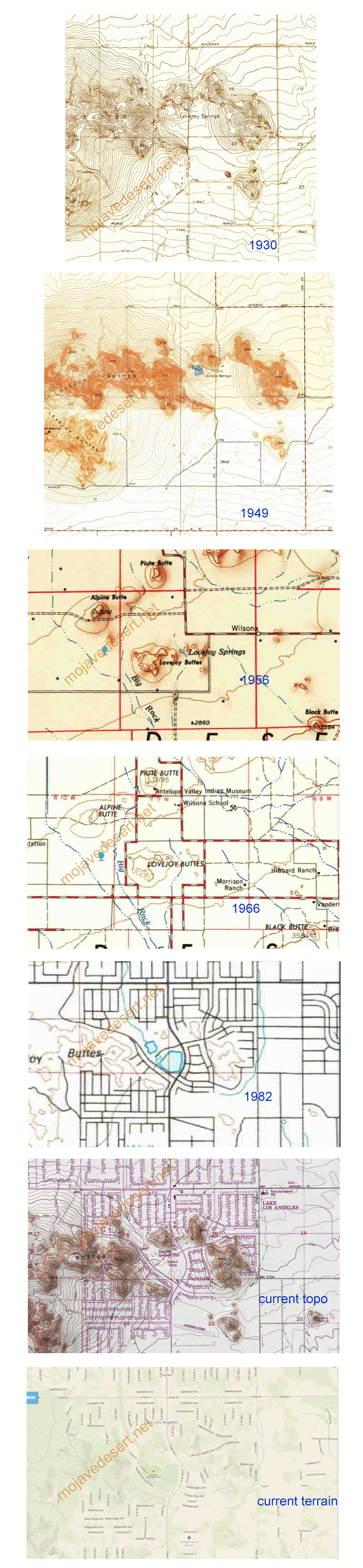
The Story of Lovejoy Springs becoming Lake Los Angeles, in maps …
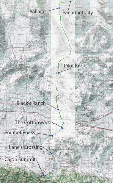
Nestled within the rugged landscapes of Eastern California, the Panamint Valley is home to a historical artery that has played a pivotal role in developing the American West—the road to Panamint. Originally trodden by Native Americans and later transformed by the ambitions of silver miners, this route not only facilitated economic booms but also bore witness to the ebbs and flows of fortune. The road to Panamint is a testament to the region’s mining era, epitomizing the broader transportation infrastructure development crucial for westward expansion.
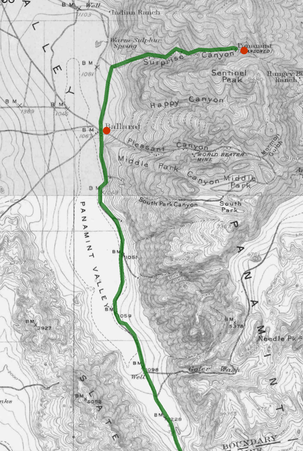
The Panamint Valley, framed by the arid peaks of the Panamint Range, was first utilized by the Shoshone Native Americans, who traversed these harsh landscapes following seasonal migration patterns and trade routes. The discovery of silver in 1872 marked a turning point for the valley. News of silver attracted droves of prospectors, catalyzing the establishment of mining camps and the nascent stages of the road. This road would soon become the lifeline for a burgeoning settlement, later known as Panamint City.
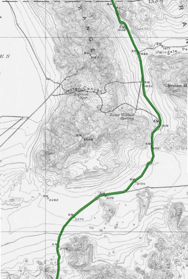
The transformation from a series of Native trails to a fully functional road was propelled by the mining industry’s explosive growth. As prospectors and entrepreneurs flooded the area, the demand for a reliable transportation route skyrocketed. The road to Panamint was quickly carved out of the valley’s rugged terrain, facilitating the movement of people and ore. During the mid-1870s, Panamint City blossomed into a boomtown, with the road being crucial for transporting silver ore to markets beyond the valley. However, as the mines depleted and profits dwindled, the road witnessed the departure of those who had come seeking fortune, leaving behind ghost towns and tales of a fleeting era.
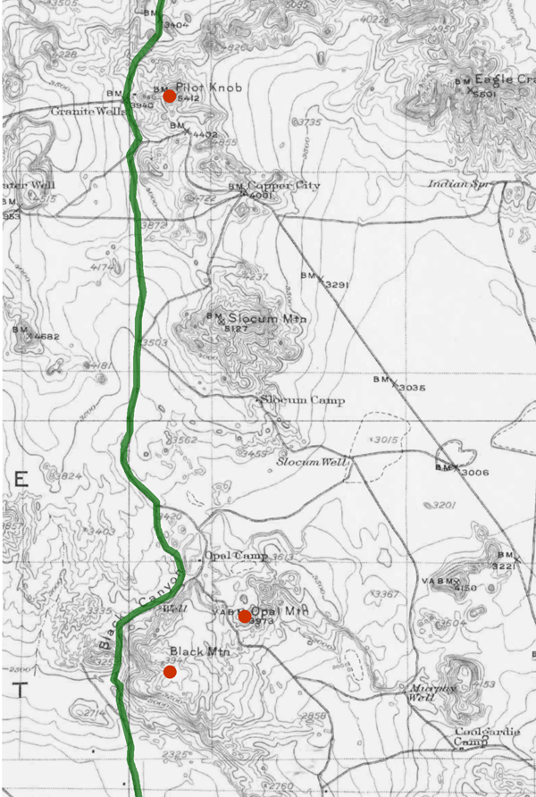
Beyond its economic contributions, the road to Panamint played a significant role in shaping the regional history of Eastern California. It facilitated the integration of remote areas into the state’s broader economic and cultural fabric. Moreover, it was a stage for several historical events, including conflicts between Native Americans and settlers and among competing mining companies. The road connected Panamint with the outside world and helped establish transportation routes that would later support the growth of other regional industries and settlements.
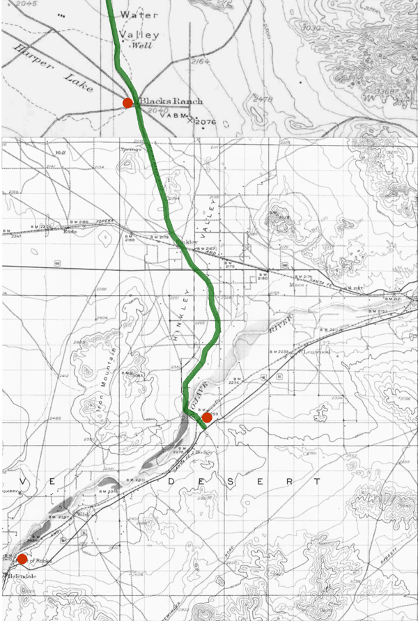
Today, the road to Panamint is a shadow of its former self, yet it remains an integral part of the cultural heritage of the American West. Efforts have been undertaken to preserve its historical significance, recognizing the road as a physical pathway and a historical document inscribed upon the landscape. It is featured in historical tours, providing insights into the challenges and triumphs of those who once traveled its length in pursuit of silver and survival. The preservation of this road allows contemporary visitors and historians alike to traverse the same paths miners once did, offering a tangible connection to the past.
The road to Panamint encapsulates the spirit of an era driven by the quest for precious metals and the relentless push toward the West. Its historical importance remains a key narrative in understanding how transportation helped shape the economic and cultural landscapes of the American West. As we reflect on its legacy, the road to Panamint continues to offer valuable lessons on resilience and the transient nature of human endeavors.
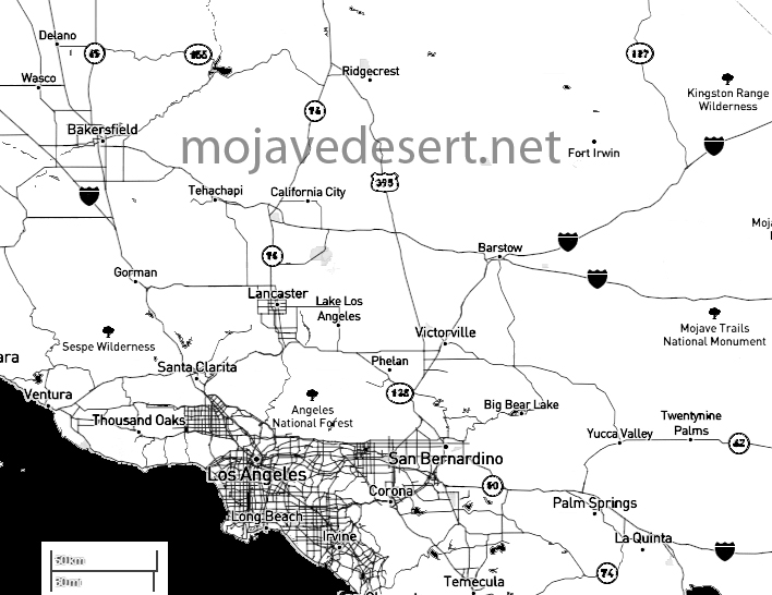
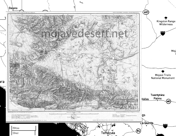
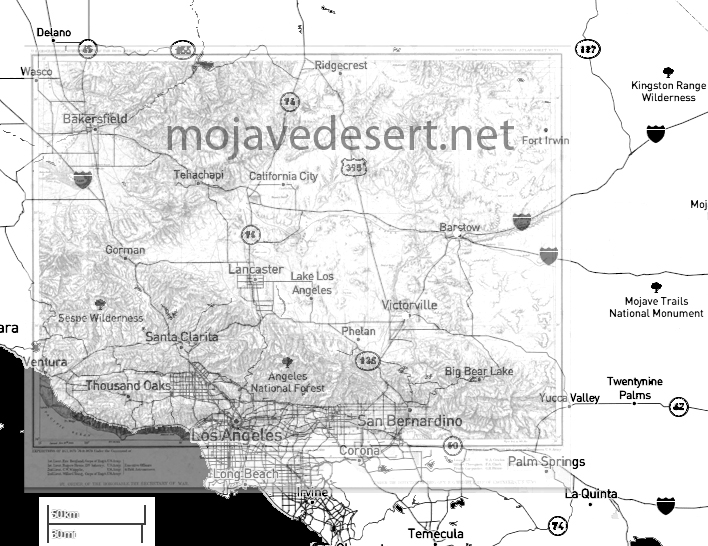
The Antelope Valley is a region located in northern Los Angeles County and southeastern Kern County in the state of California.
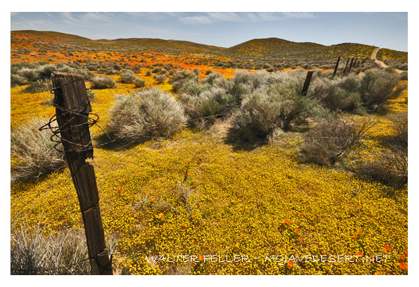
Here are some key geographical features and aspects of the Antelope Valley:
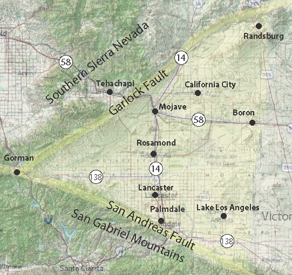
Understanding the geography of the Antelope Valley involves recognizing its desert setting, mountainous surroundings, urban centers, and economic activities.
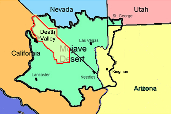
Death Valley is part of the Mojave Desert. Death Valley is a desert valley located in Eastern California and a small part of Nevada in the United States. It is one of the hottest places on Earth and holds the record for the highest air temperature ever recorded, which reached 134 degrees Fahrenheit (56.7 degrees Celsius) in Furnace Creek Ranch on July 10, 1913.
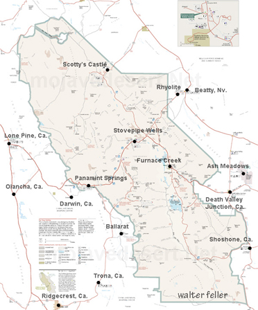
The Mojave Desert is a vast desert in the southwestern United States, primarily in southeastern California, southern Nevada, and parts of Arizona and Utah. It is the driest desert in North America and is known for its arid landscapes, unique plant and animal life, and iconic features like Joshua Tree National Park.
Death Valley is situated within the Mojave Desert, and the two are often mentioned together due to their geographic proximity and shared arid climate characteristics.
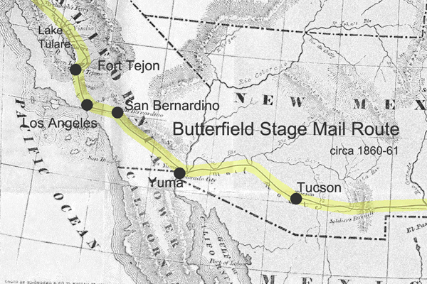
The Butterfield Overland Mail Route was a historic transportation route in the mid-19th century that played a crucial role in connecting the eastern and western parts of the United States.
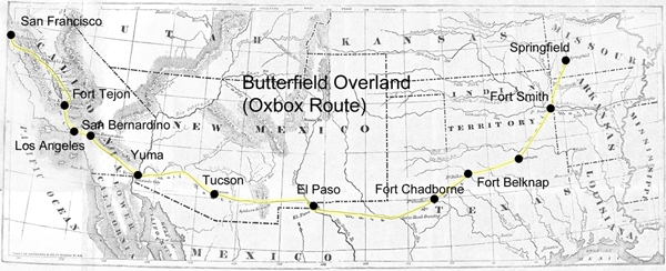
Here are some key points about the Butterfield Overland Mail Route:
The Butterfield Overland Mail Route remains an important chapter in the history of westward expansion and transportation in the United States during the mid-19th century.
https://mojavedesert.net/stagecoaches/
https://mojavedesert.net/mojave-desert-indians/
https://digital-desert.com/historic-roads/
Cajon Pass/Victor Valley Roads
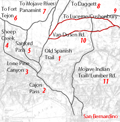
1 – Old Spanish Trail/Indian trail (1827)
2 – Cajon Pass (Lower) – Indian trail
3 – Lone Pine Canyon – Indian trail
4 – Sheep Creek – Indian trail
5 – Sanford Pass (c.1854-57)
6 – Fort Tejon – Indian trail
7 – to Mojave River – Indian trail
8 – to Daggett (c.1855)
9 – Lucerne/Cushenbury Lumber road
10 – Van Dusen/Holcomb Valley Road – (1862)
11 – Mojave Indian trail (c.1776, 1826)
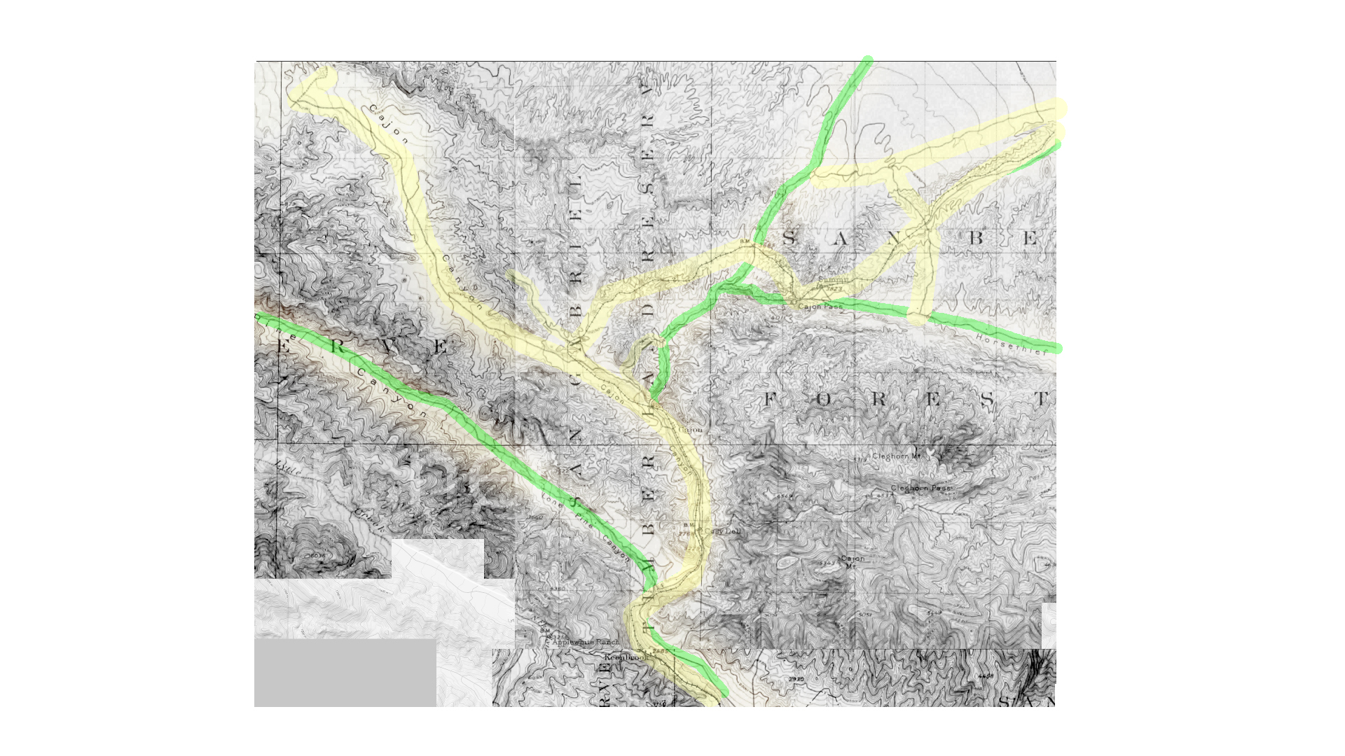
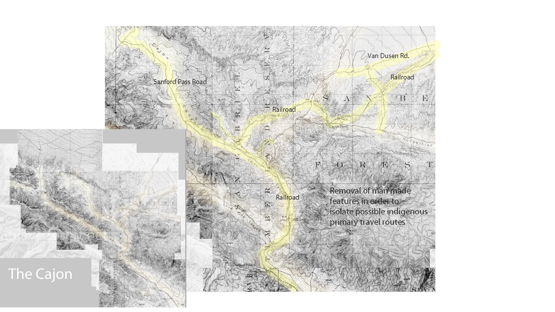
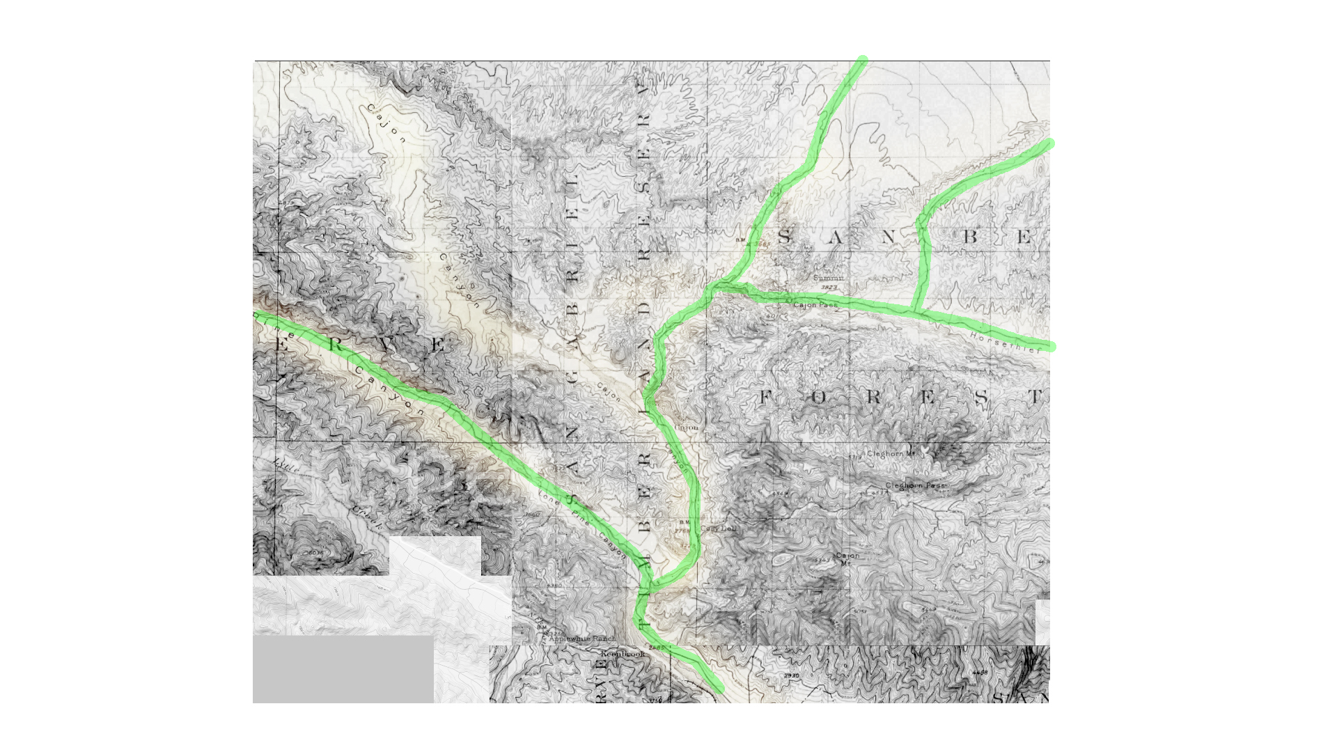
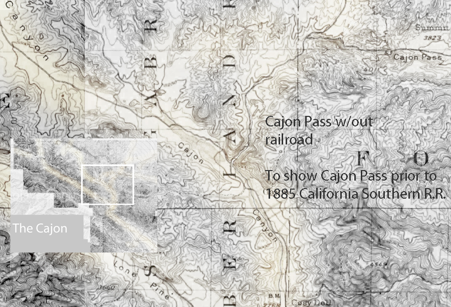
Cajon 1901 base map not showing California Southern Railroad (A.T.&S.F.) constructed in 1885.
Effectively shows the canyon as far back as 1857 when the Sanford Pass was carved into the mountain.
Sanford Pass
https://digital-desert.com/sanford-pass/
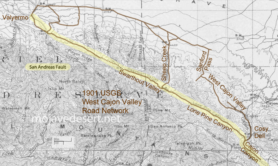
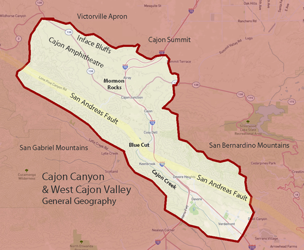
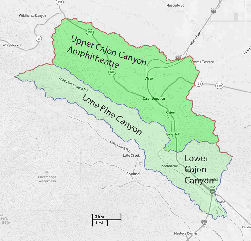
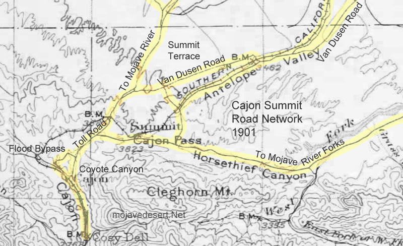
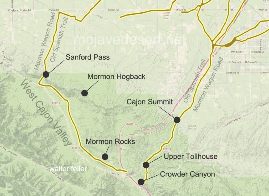
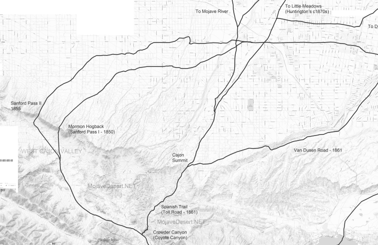
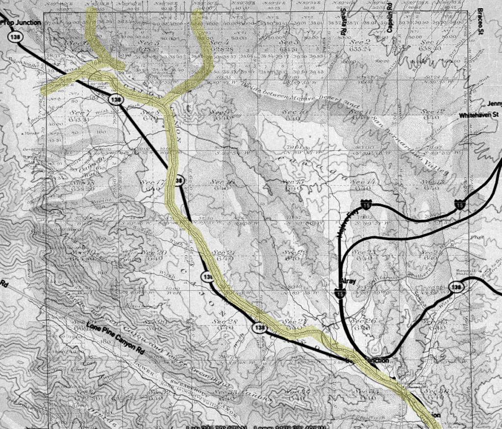
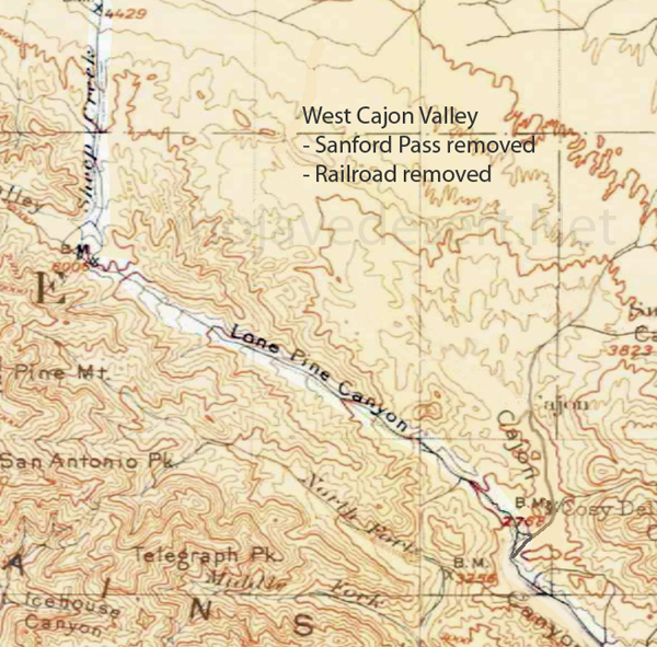
These maps are based on a USGS 1901 base map and overlay onto a current street map. This series was developed to show how the dependence on potable water for man or beast shaped the transportation network in the late 19th Century.
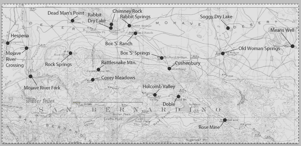
This map identifies various geographic locations, general features, and roads throughout the Lucerne & Johnson valleys as it was in 1901.
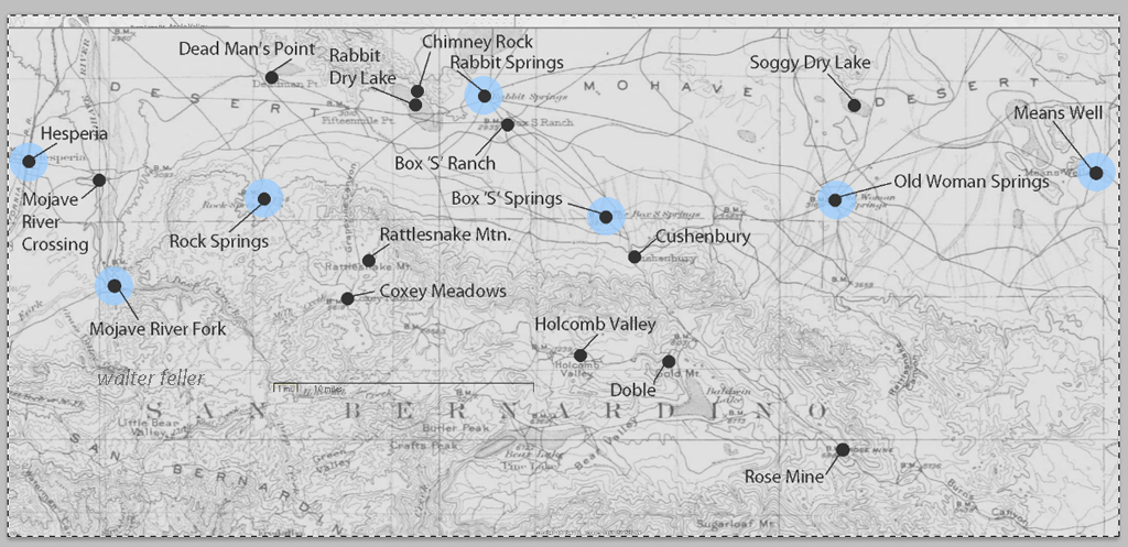
The blue marks show reliable water and rest stops as would be used by travelers and teamsters. These water stops are roughly 10 miles apart as the roads go.
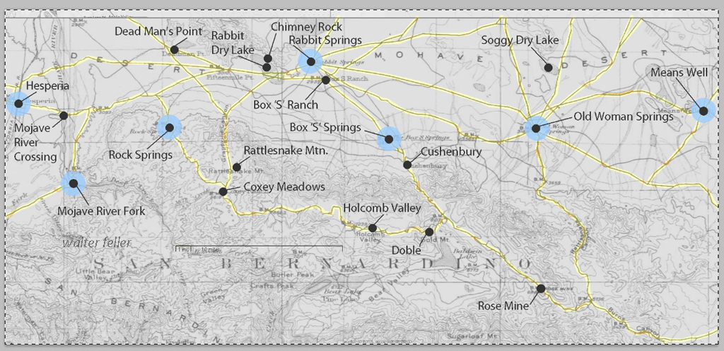
The generalized trails connecting the water and rest stops are highlighted. A few redundant and miscellaneous trails have been purposely omitted for clarity.
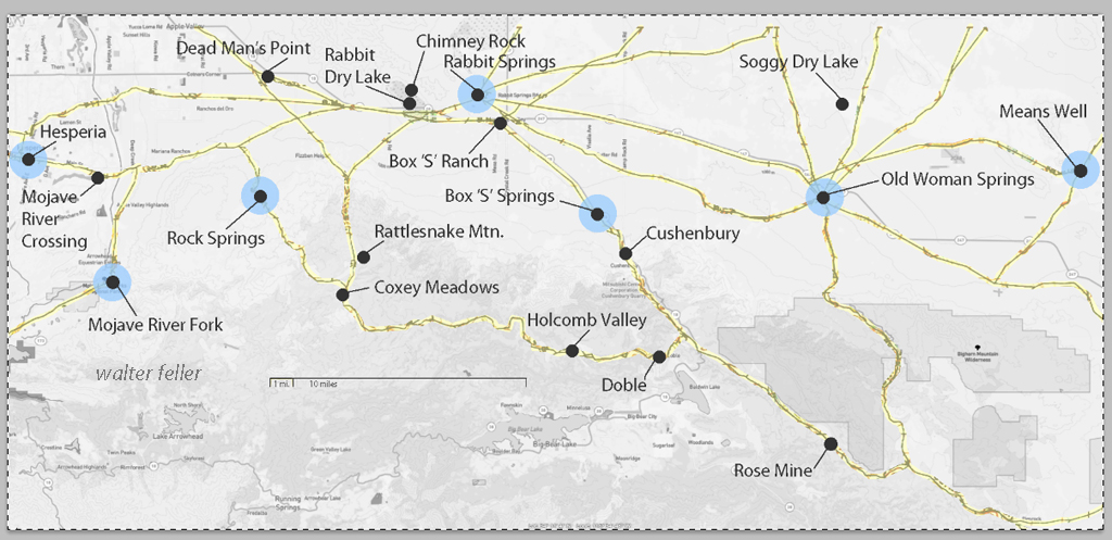
This map has had the 1901 base map replaced with a current street map.
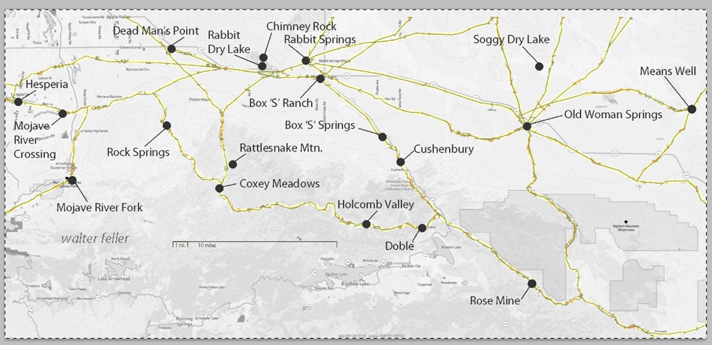
This map has had the water node locations removed.
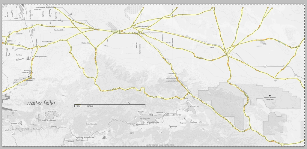
Finally, the 1901 trails have been highlighted and the location labels removed for clarity in showing the relationship between the roads then and now.
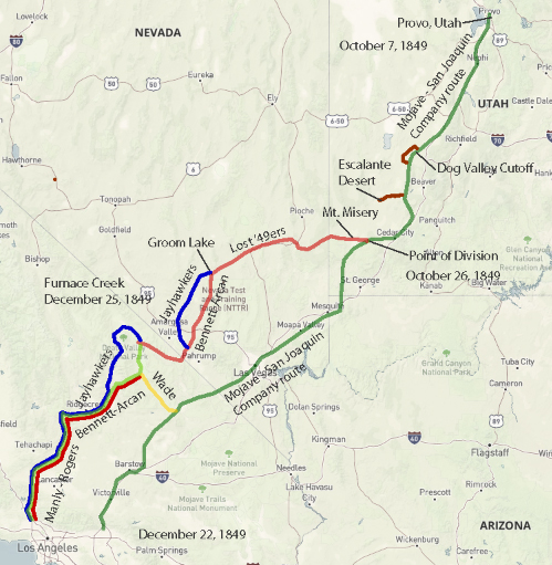
Jefferson Hunt’s Mojave San Joaquin Company, a wagon train made up of anxious gold seekers and settlers frustrated by a late start across the desert in late 1849 join with Captain Hunt to be guided across the Mojave Desert along the new southern route. Tensions rise with a wrong venture into the Escalante Desert and at a point east of Enterprise, and north of Mountain Meadows, Utah, anarchy ensues and the train breaks up into two factions; those who will become lost and those who will go on as planned. Of the 107 wagons in this once large party, only seven wagons remain.
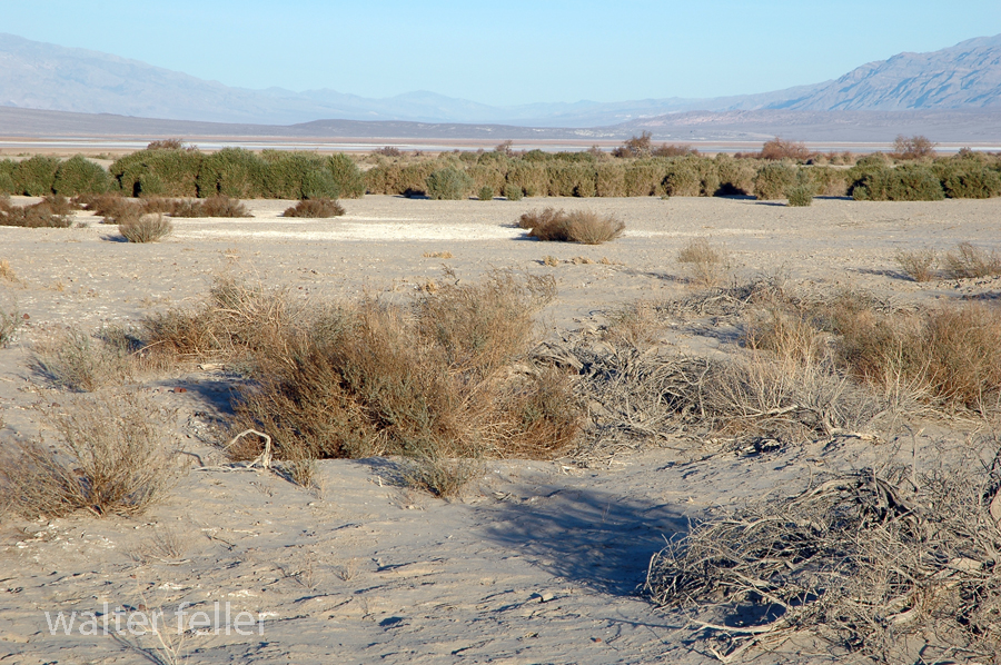
Furnace Creek, Death Valley National Park
On December 22, 1849, the ‘Mojave Sand-walking Company,’ as it became known, arrived in San Bernardino, California. At the same time the remaining ‘Lost ’49ers,’ about one-quarter of those who broke away originally, were entering the desolate Death Valley and would be celebrating Christmas Day near what we know as Furnace Creek.
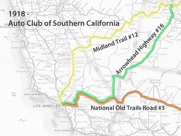
This map shows the three main trails across the Mojave Desert; the Midland Trail, Arrowhead Trail, and the National Old Trails Road. These roads at the time were unpaved and varied in condition and the skills involved to navigate them.
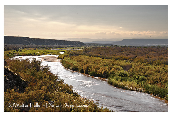
There were two equally onerous obstacles along the Salt Lake Wagon Road that early-on pioneers had to overcome; on the east end of the trail, there was Virgin Hill at Mormon Mesa and the Virgin River. To the west, the challenge was the Cajon Pass.
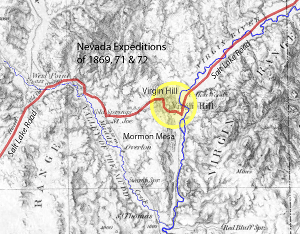
Virgin Hill was a 360-foot change in elevation in only .6 miles (1 foot rise every 9 feet). Teams would have to be doubled up to pull loads over the rocky vertical sections of the steep trail.