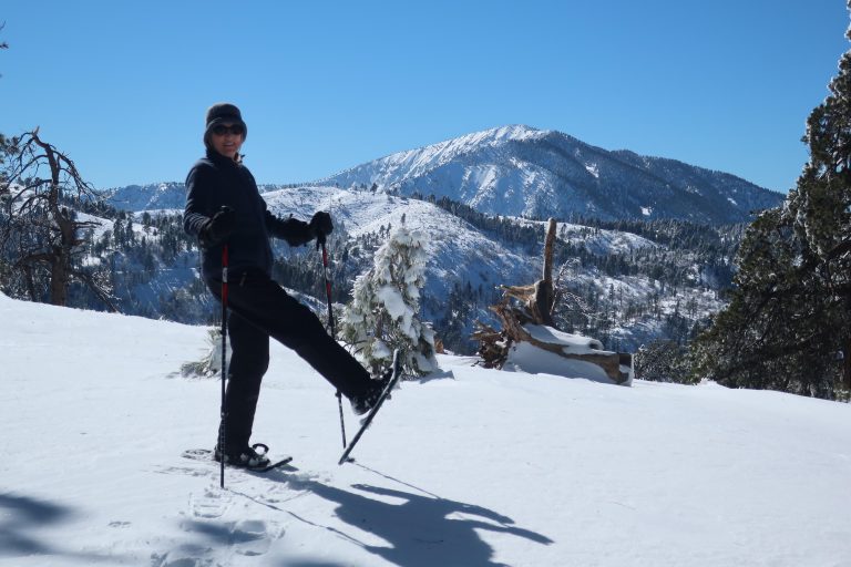
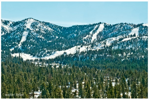
The story of winter recreation in the San Bernardino Mountains runs from simple roadside snowplay to full resort operations spread across the front range and the Big Bear basin. Over nearly a century, Snow Valley, Snow Summit, and Bear Mountain formed the backbone of that history, each representing a different stage in the development of skiing and snowboarding in Southern California.
The earliest winter activity took place near Running Springs during the 1920s and 1930s. Improved automobile access brought travelers up Highway 330, and the open slopes along Highway 18 became natural gathering places for early skiers. Rope tows and modest facilities appeared on these hills, turning the area later known as Snow Valley into one of the first organized ski centers in the state. The terrain was moderate and practical, close to the foothills and easy to reach, helping make Running Springs one of the gateways to winter recreation.
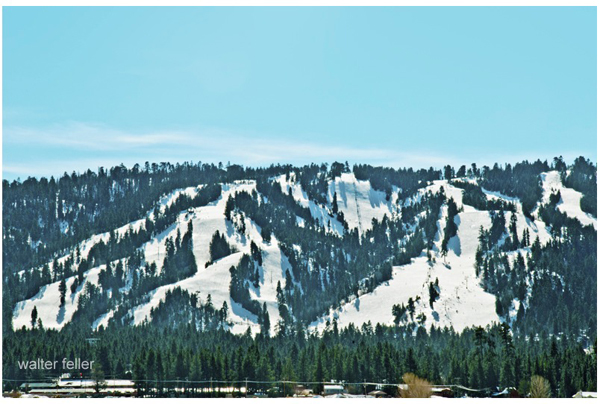
The next stage unfolded after World War II. As Big Bear Valley continued to grow with new homes, cabins, and lakefront development, the south side of the valley offered room for a larger and more carefully planned resort. Snow Summit took shape in the late 1940s and early 1950s, quickly becoming known for well-arranged runs, dependable grooming, and early snowmaking. The resort succeeded by offering a traditional feel and reliable conditions, drawing families and day visitors from across the region. Summit became the classic ski hill of Big Bear, steady and carefully managed.
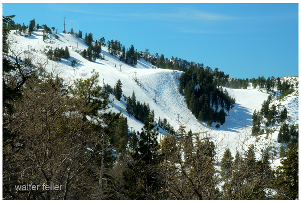
Farther east in the same valley, the slopes of Goldmine Mountain supported a smaller ski area that expanded during the 1970s and 1980s. In time, this area became Bear Mountain. When snowboarding surged in popularity during the 1990s, Bear embraced the new sport and built terrain parks, halfpipes, and freestyle features that set it apart from Snow Summit. This shift gave the region two complementary resorts: one traditional, one progressive, both supporting the winter economy of Big Bear Lake and Big Bear City.
Snow Valley continued in its own role on the front range, separate from the unified Big Bear system. Its location near Running Springs and its early origins kept it tied to the first era of winter recreation in the mountains. Year after year, it remained a straightforward, family-oriented hill close to the foothills and highway access.
Access to the mountains came through three primary routes. Highway 330 rose steeply from the Inland Empire to Running Springs. From there, Highway 18 turned east toward Snow Valley and continued into Big Bear Valley. Highway 38 approached Big Bear from the east through Redlands and the high back country. This road network shaped visitor patterns, guided resort development, and built ties between the slopes and the surrounding communities.
Running Springs grew as the Front Range gateway. Big Bear Lake and Big Bear City grew as the central hubs for lodging, shops, and services that supported Snow Summit and Bear Mountain. The combined influence of these communities and resorts shaped the winter identity of the mountains, turning once remote country into Southern California’s main winter playground.
Today, Snow Valley, Snow Summit, and Bear Mountain stand as three closely linked chapters in the long story of winter recreation. One began with roadside rope tows, one rose with postwar planning, and one came of age during the rise of snowboarding. Together, they show how the San Bernardino Mountains evolved into the primary winter destination for generations of Southern California travelers.