Table Mountain Observatory
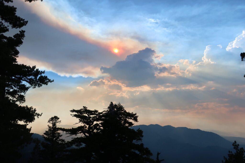
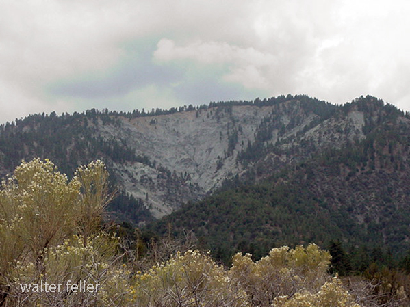
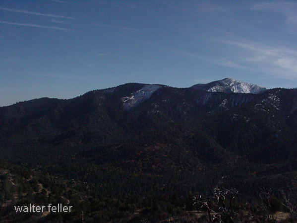
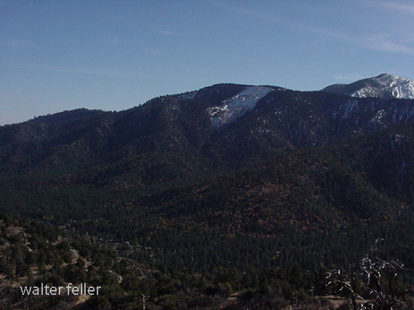
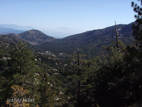
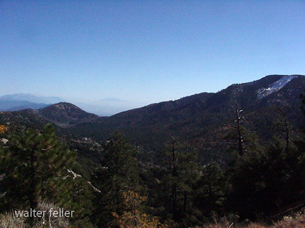
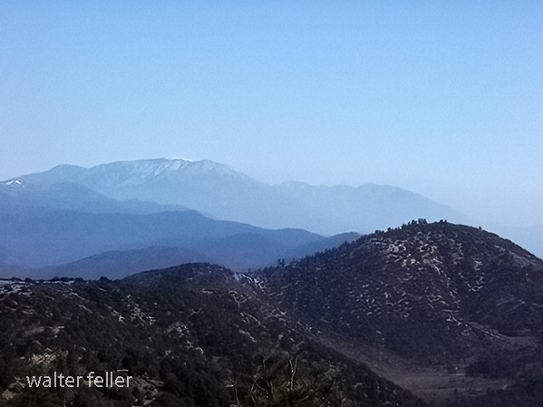
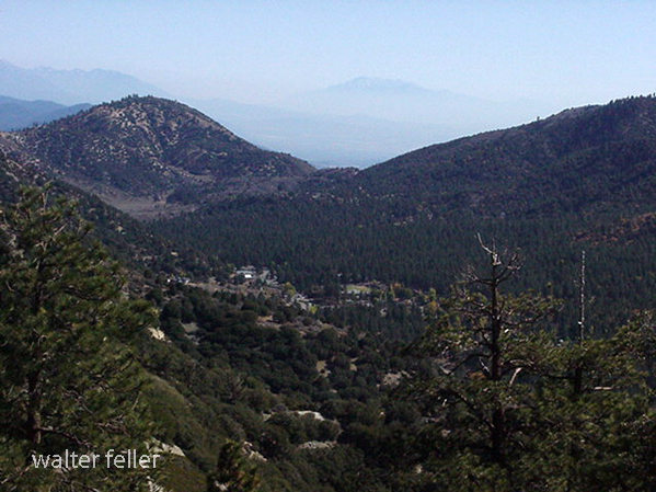
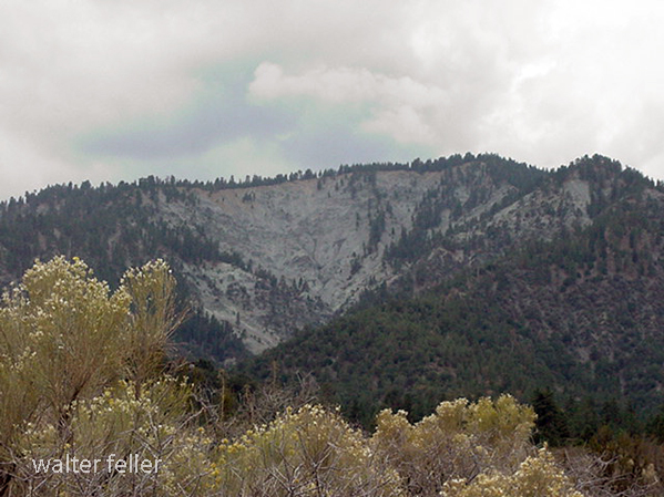
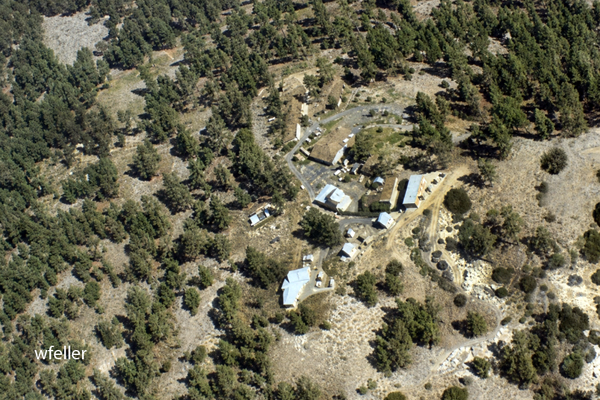
Table Mountain Observatory, usually called TMO, is the astronomical part of NASA JPL’s Table Mountain Facility above Wrightwood in the San Gabriel Mountains. The facility overlooks the Mojave Desert about 60 miles northeast of JPL’s Pasadena campus, at roughly 7,500 feet in elevation. Its altitude, mountain setting, and distance from Los Angeles air pollution make it well suited to observing and atmospheric research. [1]
The scientific history of the site reaches back to 1926, when the Smithsonian Institution established an observatory there for solar irradiance studies. JPL began using the mountain for spacecraft solar-panel testing in the late 1950s and early 1960s. In 1962, JPL acquired the U.S. Forest Service lease, built TM-1, installed a 16-inch optical telescope, and achieved first light on August 1. [2]
Table Mountain Facility has never been only an astronomy site. Its work has included solar testing, spacecraft calibration, atmospheric lidar, ozone and water-vapor measurement, and instrument-comparison campaigns. Long-term lidar research has measured stratospheric ozone, temperature, aerosols, tropospheric ozone, and water vapor. [1][3][4]
A major modern instrument is Pomona College’s 1-meter, 40-inch telescope, shared with JPL. The telescope has a 40.5-inch mirror and supports CCD imaging, filter wheels, polarimetry, near-infrared work, and adaptive optics. Built between 1982 and 1985, and improved with new optics in 1996, it has served both student observing and research. [5]
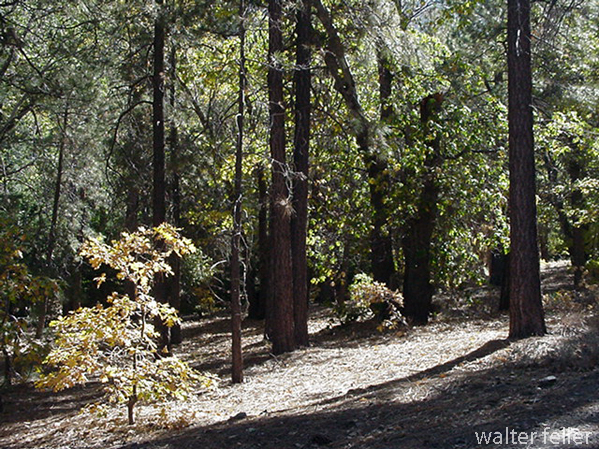
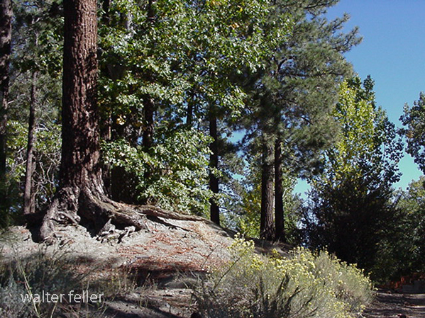
Table Mountain Observatory is a mountain-edge science station where the San Gabriels meet the desert sky. It belongs to the same regional landscape as Cajon Pass, Big Pines, Angeles Crest, Wrightwood, and the Mojave overlook country, though its purpose is scientific rather than recreational.
Sources and Further Reading
[1] NASA Jet Propulsion Laboratory, Atmospheric Lidar Group. Table Mountain – TMF
[2] NASA Jet Propulsion Laboratory. Table Mountain Facility: 1961-1962
[3] NASA Jet Propulsion Laboratory, Atmospheric Lidar Group. JPL Table Mountain Atmospheric Lidar Group
[4] Network for the Detection of Atmospheric Composition Change. Table Mountain Facility, California
[5] Pomona College. Table Mountain Observatory