Joshua Tree National Park
Desert Ecosystems
Two desert areas come together in Joshua Tree National Park: the high Mojave Desert and the low Colorado Desert.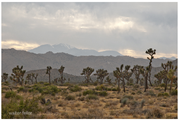
The Mojave, more than 3,000 feet above sea level, gets more rain and has odd-looking Joshua Trees and unique rock formations.
Mojave Desert Photo Tours & Map
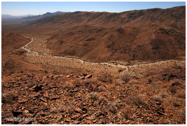
On the other hand, the lower and drier Colorado Desert, in the eastern part of the park, has tough plants like creosote, ocotillo, and cholla cacti.
Colorado Desert Photo Tours & Map
These ecosystems are separated mainly by height, which makes a landscape with strong differences. Visitors may see unique plants, animals, and striking landforms, enjoying the variety and beauty of desert life in one amazing place.Roads & Trails in Joshua Tree
Nature & Environment
Geology of Joshua Tree
Human History
Camping at Joshua Tree
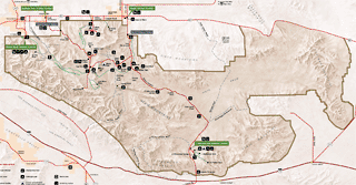
Map of Joshua Tree National Park