Interstate 15
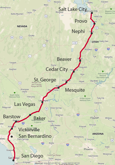
San Diego - Salt Lake City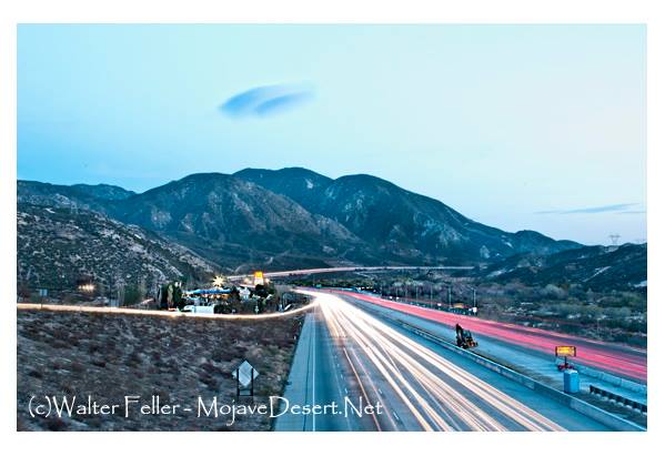
Cajon Junction looking south
Modern Transportation: In the 20th century, the pass evolved as a transportation hub. The development of modern highways, including U.S. Route 66 and later Interstate 15, made the pass a vital link in the national highway system. It also became a major corridor for freight transportation.
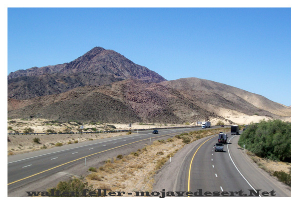
Between Victorville and Barstow
Interstate 15 Freeway across the Mojave Desert
Interstate 15 (I-15) is a major interstate highway in the United States that spans from San Diego, California, in the southwestern part of the country to Sweetgrass, Montana, near the Canadian border in the northern part of the country. It crosses several states and diverse landscapes, including the Mojave Desert in California.The portion of I-15 that crosses the Mojave Desert is located in Southern California. This stretch of the highway passes through the desert region, which is known for its arid climate, vast expanses of sand and rock, and unique desert flora and fauna. Some key points along this part of I-15 include Barstow, Baker, and the California-Nevada state line.
Baker, California, is notable for being home to the world's largest thermometer, which stands as a landmark along I-15. The Mojave Desert region also features several rest stops and services for travelers making their way through this remote and arid landscape.
I-15 is an important transportation corridor that connects Southern California to the rest of the western United States. Travelers on this route can experience the stark beauty of the Mojave Desert while making their way to various destinations, including Las Vegas, Nevada, which is a popular destination along this highway.
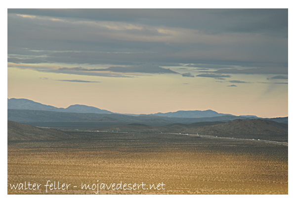
Looking westbound from Basin Rd. between Baker & Barstow
 Geographic areas, communities, points of interest and natural features: