Amboy Crater
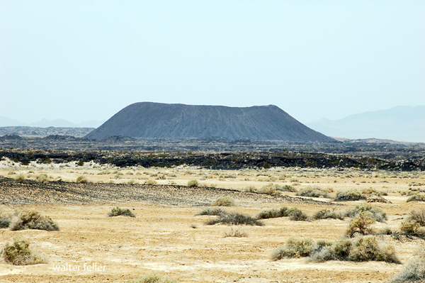
Amboy Crater is a remarkably well-preserved basaltic cinder cone rising about 250 feet above the eastern Mojave Desert. Designated a National Natural Landmark in 1973, it was recognized for its clear volcanic form and broad lava field. The cone is about 1,500 feet across and contains at least four nested craters, evidence of repeated eruptive activity from the same small volcanic center.
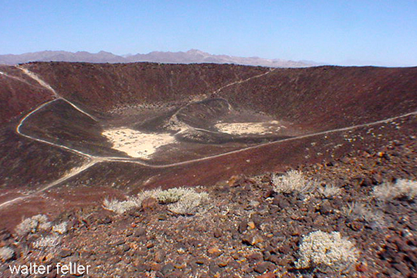
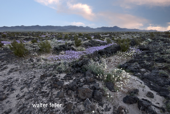
Surface-exposure dating places the eruption at about 79,000 years ago, during the late Pleistocene. Basaltic lava escaped through breaches on the west side of the cone and spread across roughly 24 square miles of the surrounding plain. The dark flows are chiefly pahoehoe lava, now broken by pressure ridges, small lava mounds, cracks, and shallow sand-filled depressions. Wind carries pale sand across the black lava, gathering it in low places and giving parts of the flow an appearance much like miniature dry lakes.
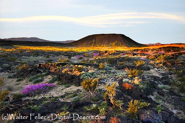
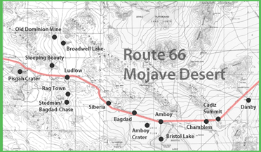
The crater lies near historic Route 66, about halfway between Barstow and Needles, and is now within the Mojave Trails National Monument. After favorable winter rainfall, spring may bring displays of desert primrose, sand verbena, and other annual wildflowers around the margins of the lava field. Most years, however, the harsh volcanic ground remains sparely vegetated.
BLM's day-use area has paved parking, vault toilets, picnic tables, a shaded overlook, and a trail to the crater rim. There is no running water at the site. Summer heat, loose cinders, and the exposed trail make cool-season visits the sensible choice.
References
Bureau of Land Management - Amboy Crater National Natural LandmarkSmithsonian Global Volcanism Program - Amboy
Phillips, F. M. 2003. “Cosmogenic 36Cl Ages of Quaternary Basalt Flows in the Mojave Desert, California, USA.” Geomorphology 53: 199-208.
USGS - Surficial Geologic Map of the Amboy 30 x 60 Minute Quadrangle
BLM - Mojave Trails National Monument
desert wildflowers
desert primrose
sand verbena
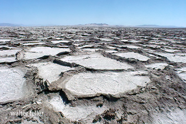
Bristol Lake
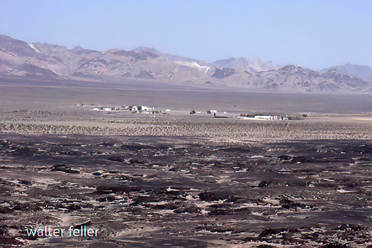
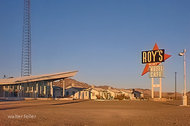
Amboy, Ca.
Although Amboy was first settled in 1858, the town was not established until 1883. ...
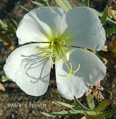
Evening dune primrose