/amargosa-river/



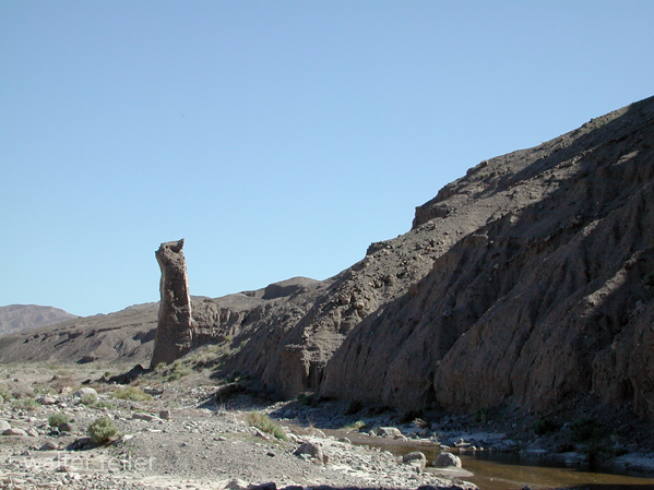
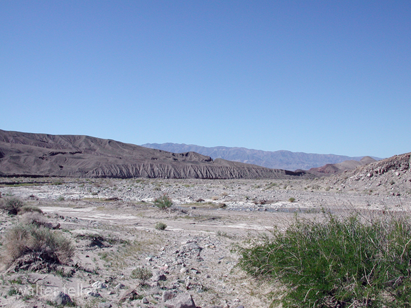
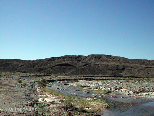
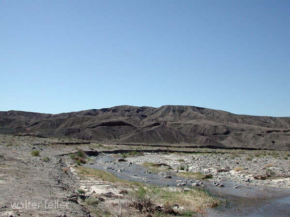
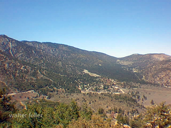
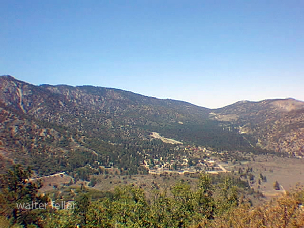


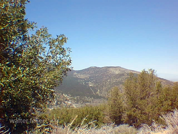
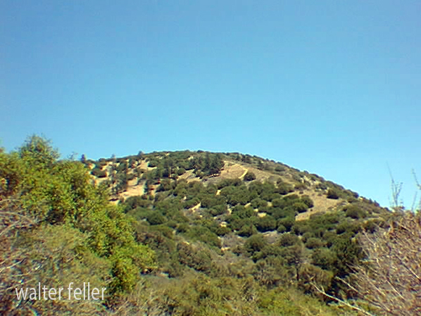

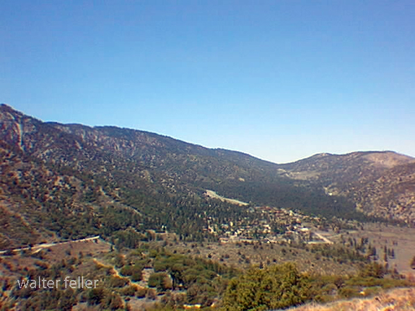

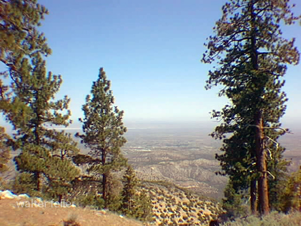
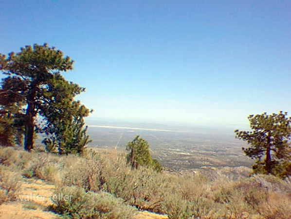
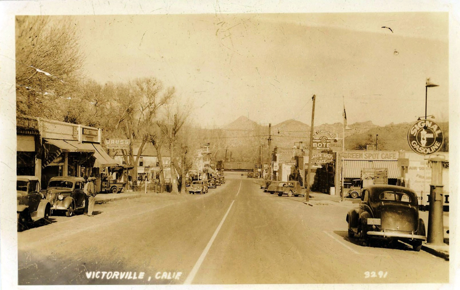
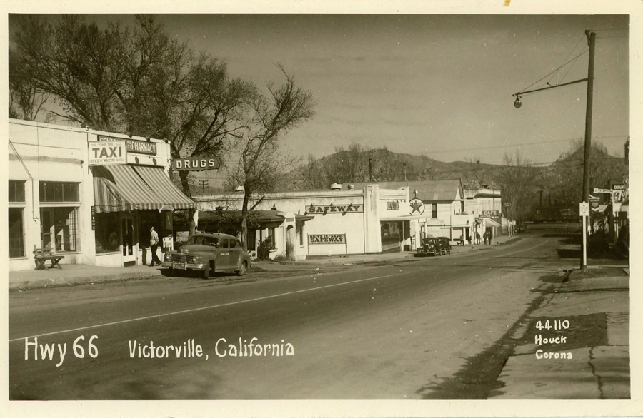
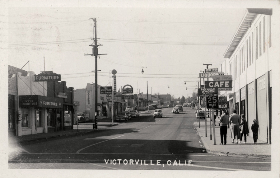
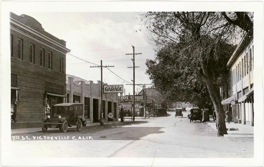
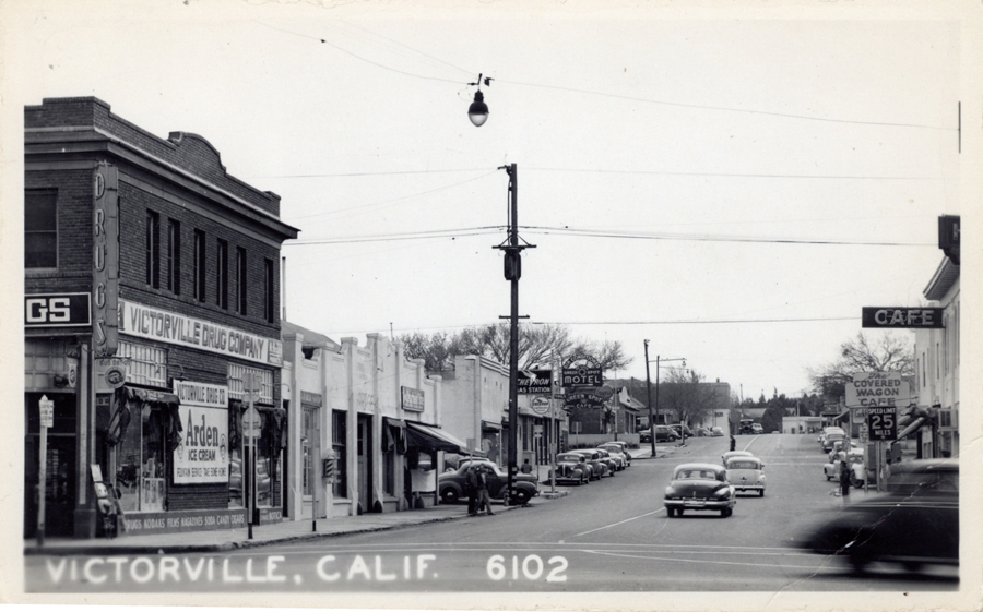
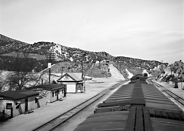
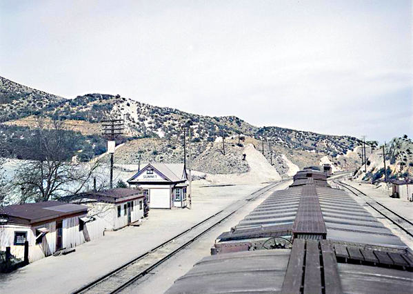
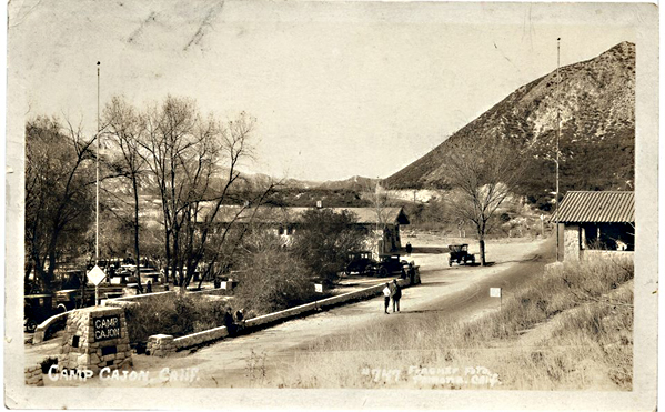
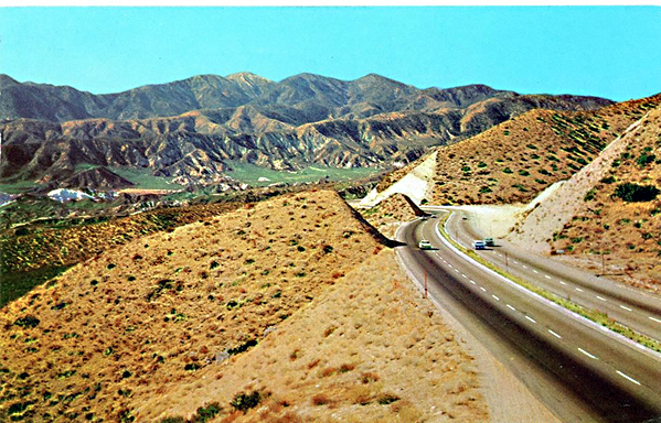
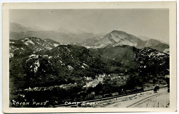
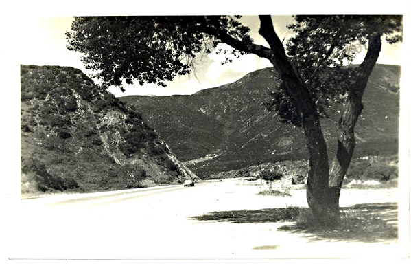
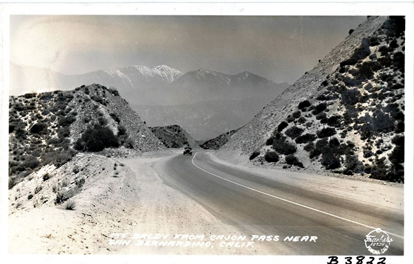
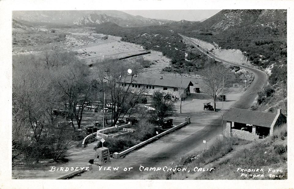
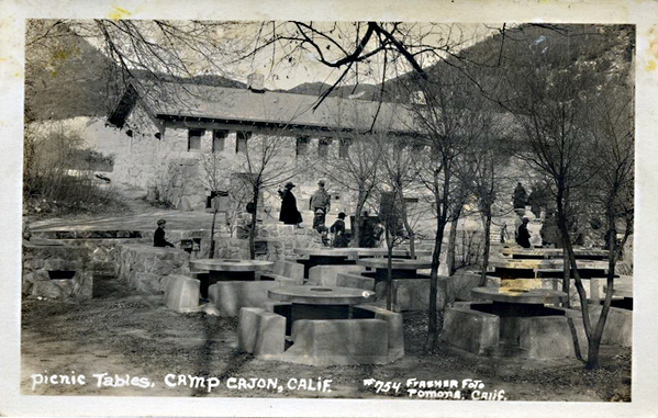
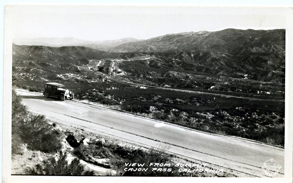
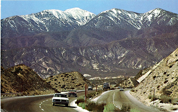
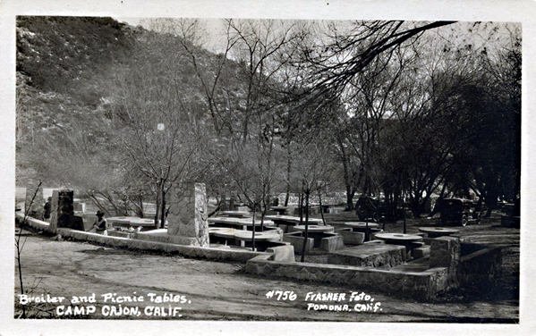
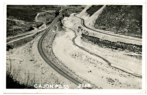
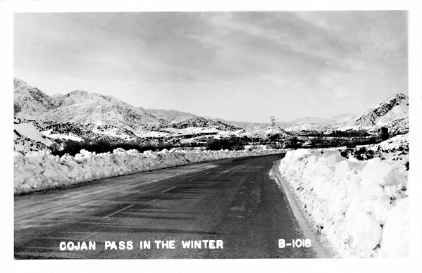
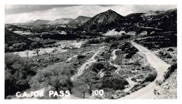
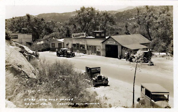
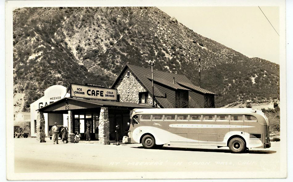
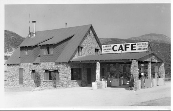
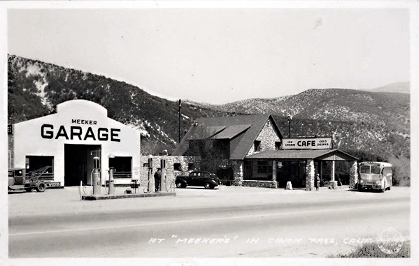
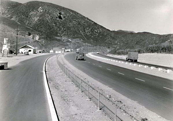
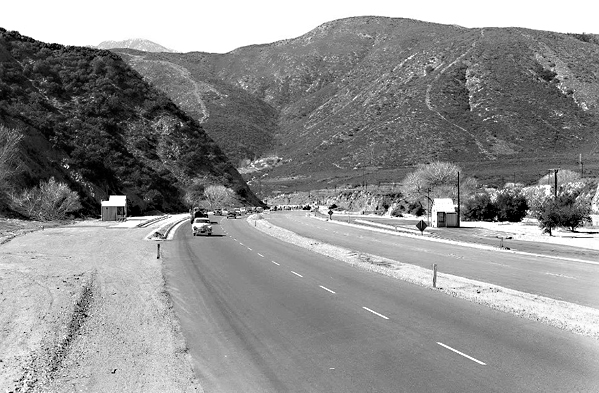
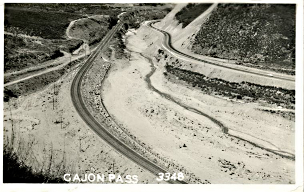
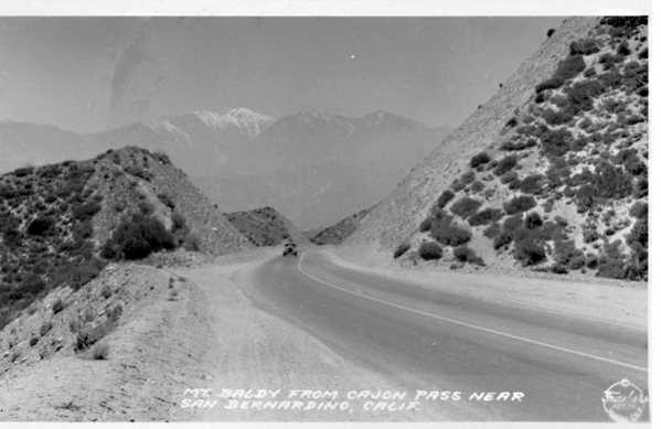
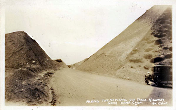
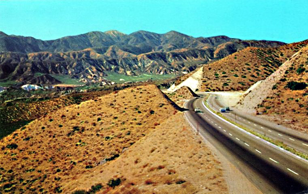
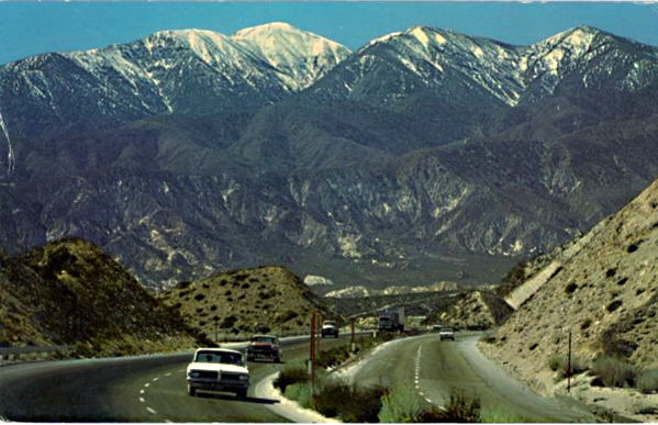
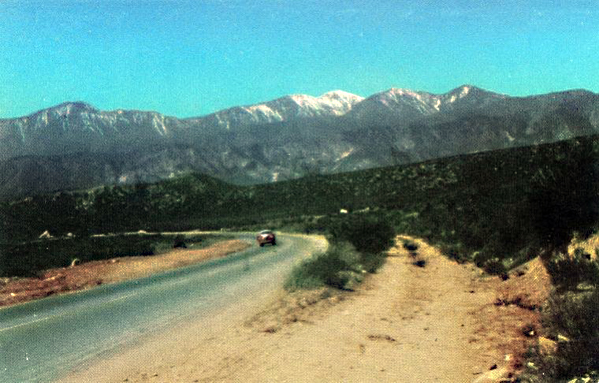
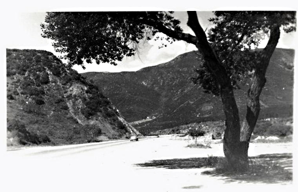
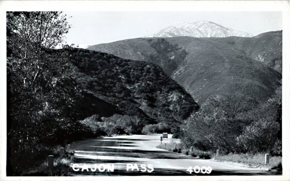
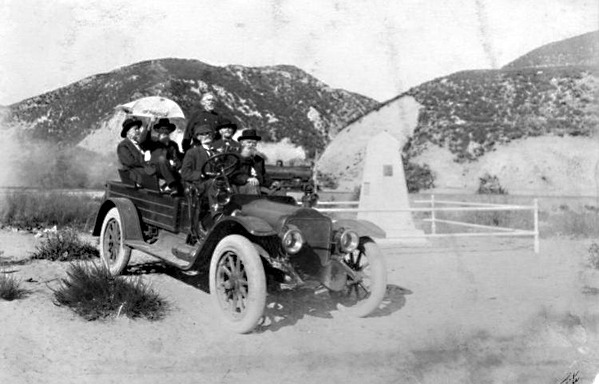
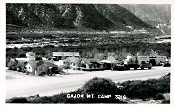
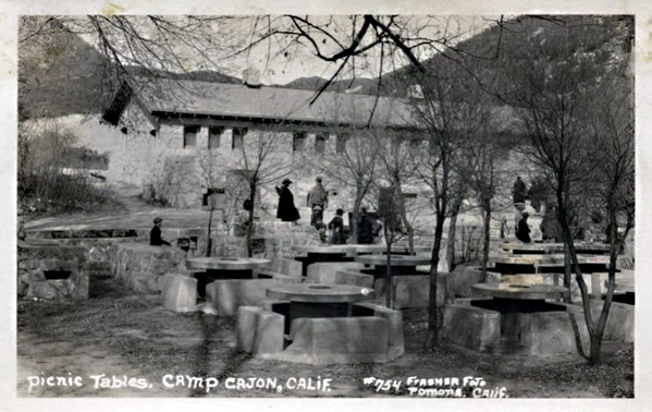
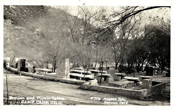
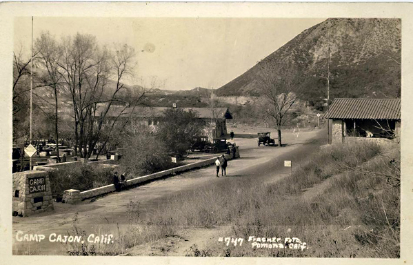
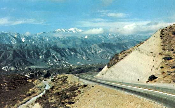
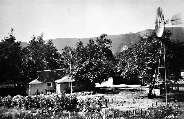
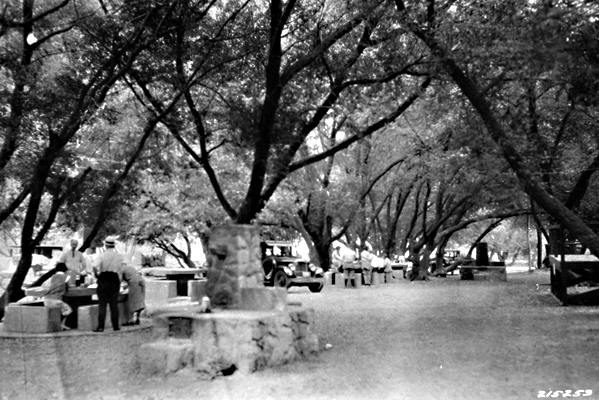
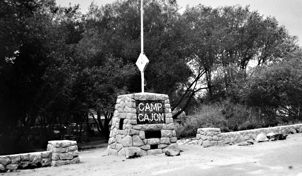
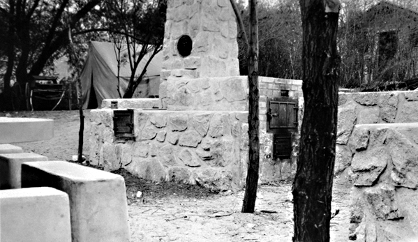
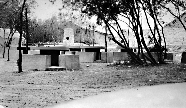
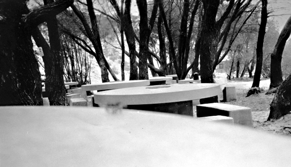
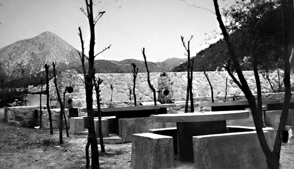
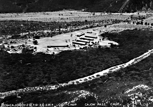
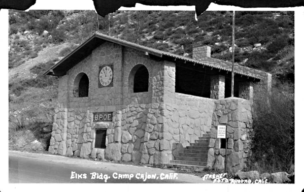
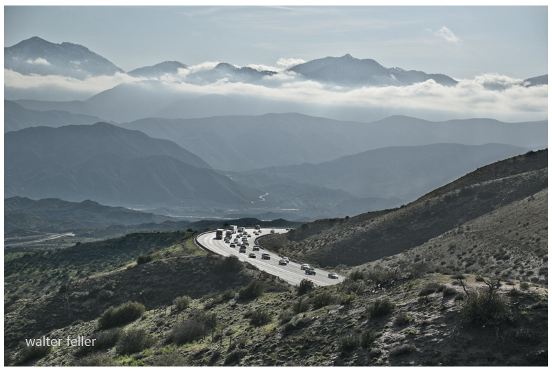
Vintage photos of the man-made features of the Cajon Pass. Assorted photographers, subjects, and eras, including Route 66, National Old Trails Road, Railroad, etc. . .

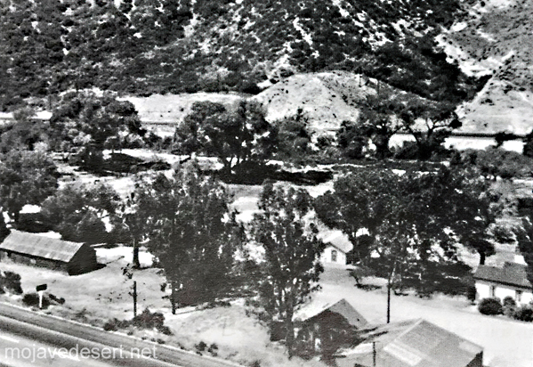
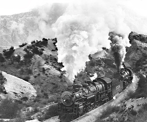





An old tale retold . . .
Rats will eat whatever rats eat because that is what rats were designed to do. Rats, regardless of what they eat all like and unanimously agree that they prefer cheese over any other rat food.
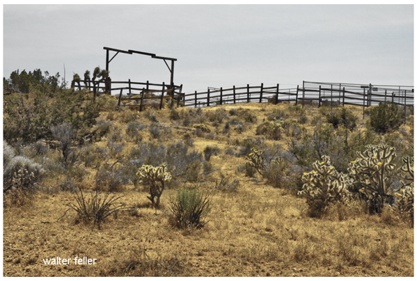
There was a hungry rat on a ranch peeking through a crack in the wall watching the rancher and his wife open a package. The ranch rat was hoping it was cheese in the package. “If not cheese,” he wondered, “what food might it contain?” He was aghast and horrified to discover that it was a rat trap. This confounded contraption could be the device of his demise.
Panicking the rat ran to the barnyard the rat hysterically shouting the warning;
“There’s a rat trap in the ranch house, a rat trap in the ranch house!”But no one seemed to care.
He ran to the chicken coop. The chicken, the largest one, clucked and scratched, raised her head and said, “Pfffttt . . . Excuse me, Mr. Rat, I can tell this is a grave concern to you, but it is of no consequence to me. I cannot be bothered by it. I do not care. Please, step away.”
The rat then ran to the pigpen. Addressing the fat pig he said, “There’s a rat trap in the ranch house, a rat trap in the house!” “Boo-hoo-hoo-hoo Mr. Rat,” scolded the hog, “Toughen up. We all die someday. Be assured that you are in my thoughts and prayers.”
The rat turned to the cow and repeated his warning. She said, “Like wow, Mr. Rat, a rat trap. Excuse me, but isn’t that just your little problem? Please go away, your whining offends me.”
So the rat thought, “stupid cow, stupid, stupid cow,” and returned to the house, head down and dejected to face the rancher’s rat trap alone. That very night a sound was heard throughout the house, very much like the sound of a rat trap trapping its prey. The rancher’s wife ran into the room to see what the trap caught. In the darkness, she didn’t see that it was a rattlesnake that had been caught. The snake was very angry. Very, very angry. The snake’s rattle was caught in the trap. The snake bit the farmer’s wife.
The rancher tried to suck the venom out of the bite. It didn’t work–She got worse. The rancher rushed his wife to the hospital. They couldn’t do anything for her. It had been too long since she was struck. She returned home with a fever.
Back then in the old days, everyone treated a fever with fresh chicken soup, and to do that you had to have a fresh chicken so the rancher took his hatchet to the chicken coop for the chicken soup’s main ingredient. It pretty much would have been a bloody frenzy but the rancher just took out the largest one and the survivors all moved up a notch in the pecking order. Dumb cluck.
The rancher’s wife’s condition continued to worsen. She was delirious and spoke in tongues. Her arms and legs were lashed to the bedposts. Friends and neighbors came to sit with her around the clock. The rancher had to feed them.
The rancher went out and butchered the arrogant pig that told the rat, “boo-hoo-hoo-hoo.” The hog made a delicious pork chop dinner for all and tasty bacon for a breakfast with the last couple of eggs laid by the chicken.
The rancher’s wife did not get well. She was in great pain. The pain was excruciating. She had hallucinations. She died hard. Slowly.
Many people came to her funeral. There was wailing and moaning and crying and pulling hair and throwing dirt. Folks were hungry after all that mourning and stuff. So the rancher ordered the emotionally distant cow to be slaughtered and cooked for dinner and a barbecue the next day.
The meat was tender and well-streaked and marbled with fat in all the right places. Everyone was going on and on. “Melt in your mouth,” some had said.
The Moral is:
The next time you hear that someone is facing a problem and think that it does not concern you, remember that when there is a rat trap in the ranch house, the entire ranch is at risk.
Just Kidding:
This story has no moral. There are no winners here. No one is going to change. This has been pointless.
The rat lived through it all but died of food poisoning from a bad casserole left behind when the widowed rancher left the ranch with his new girlfriend . . .
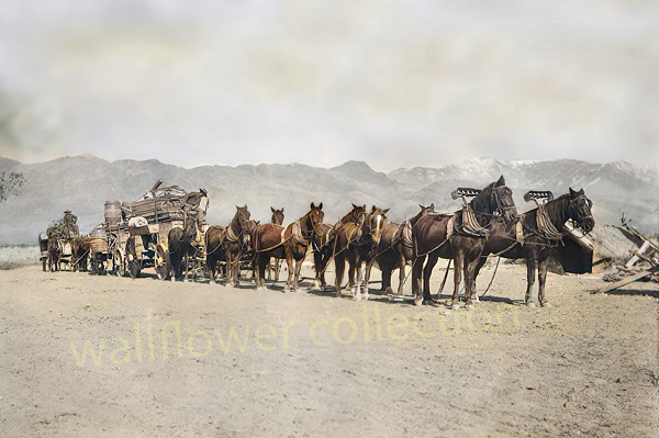
“Freighting” became an important occupation. The man who wished to engage in it must be a considerable capitalist, for the heavy wagons, constructed especially for the purpose, were expensive, and strong, well-broken mules were required. Eight, ten, twelve, and sometimes eighteen or twenty mules or horses were used as motive power for the “outfit.” The wagons were carefully packed, and often carried thousands of dollars worth of merchandise. The driving of one of these “freighters” over the mountains and deserts required forethought, prompt action, and good judgment. There was always danger from the Utes. Apaches and other Indians. The heat and the cold, the alkali dust, the blinding glare of the sun upon the desert sands, thirst and hunger—all of these tested to the uttermost the physical and mental powers of the teamsters.
Ingersoll’s century annals of San Bernadino County, 1769-1904
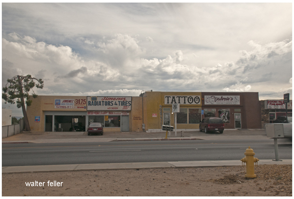
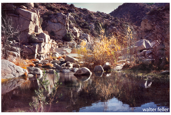
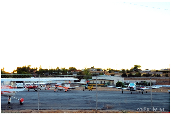
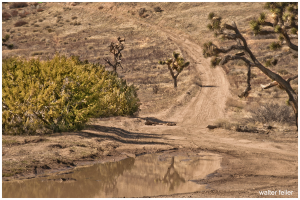
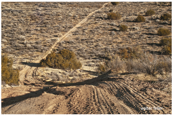
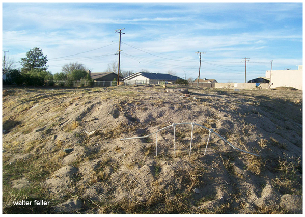


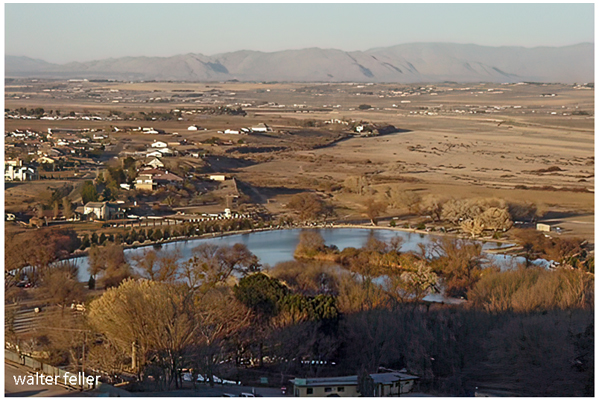
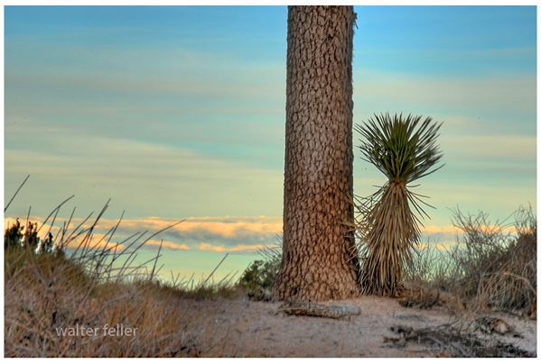
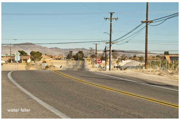
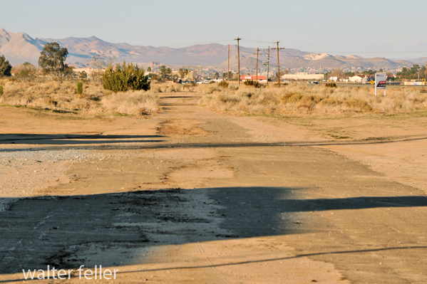

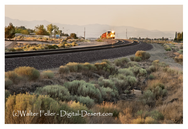
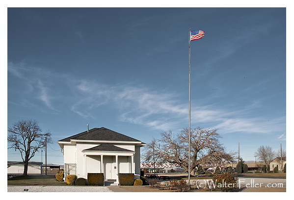
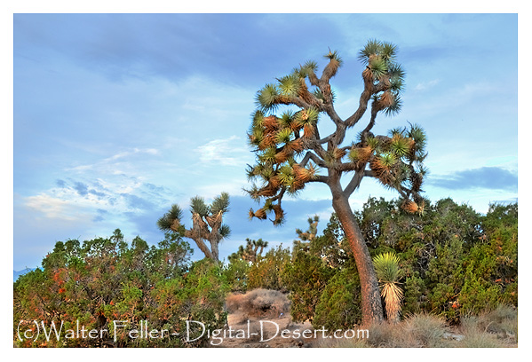
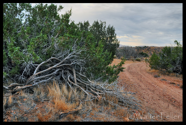
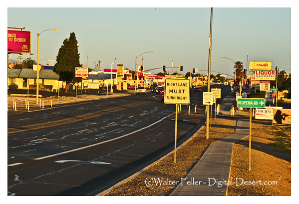

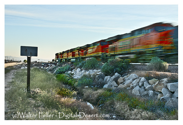
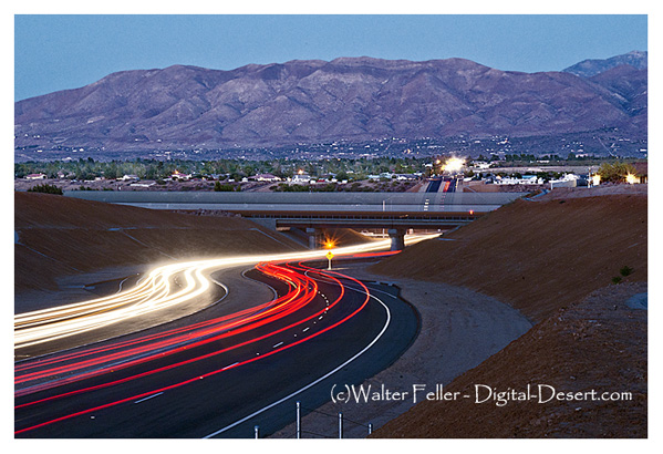
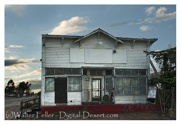
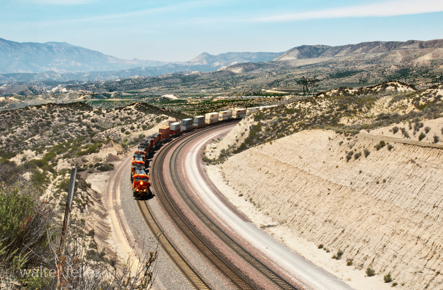
Crowder (Coyote) Canyon – Cajon Pass


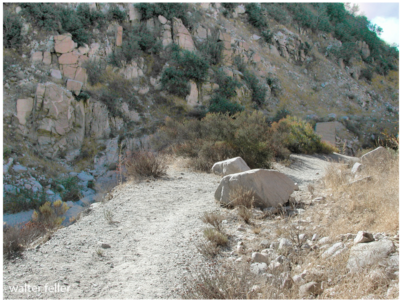
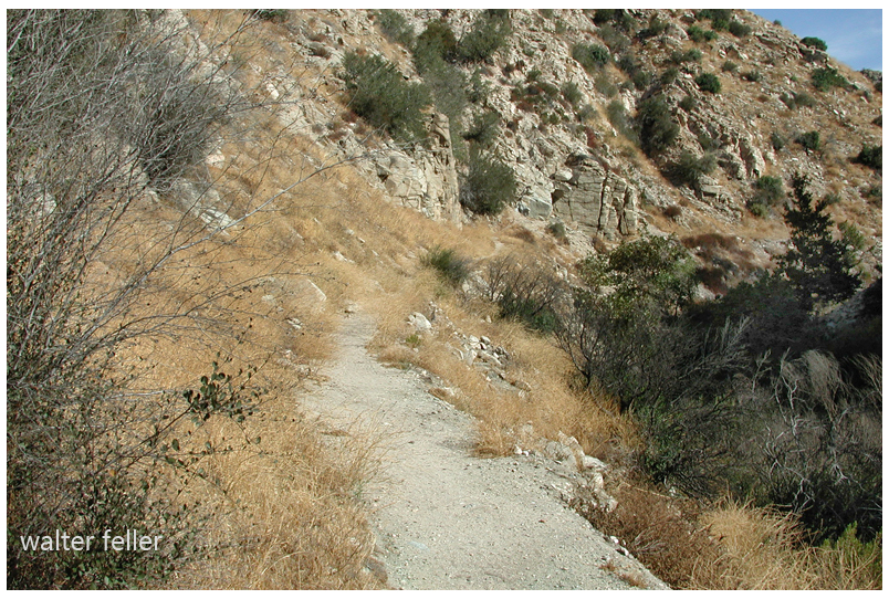
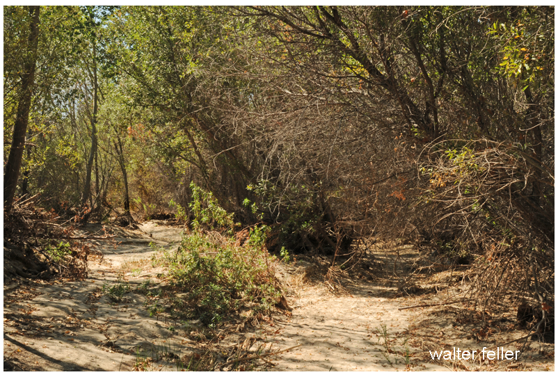

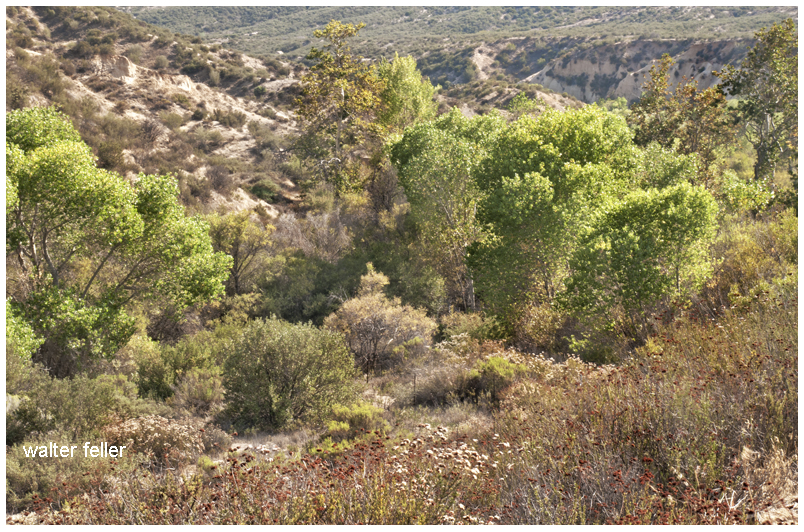
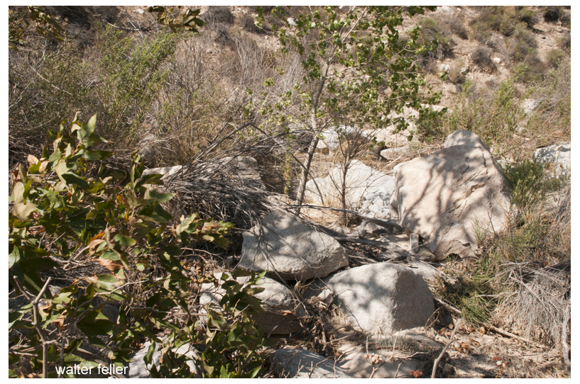
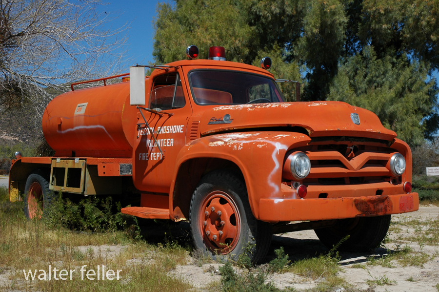
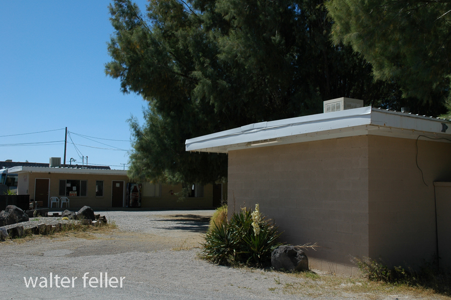
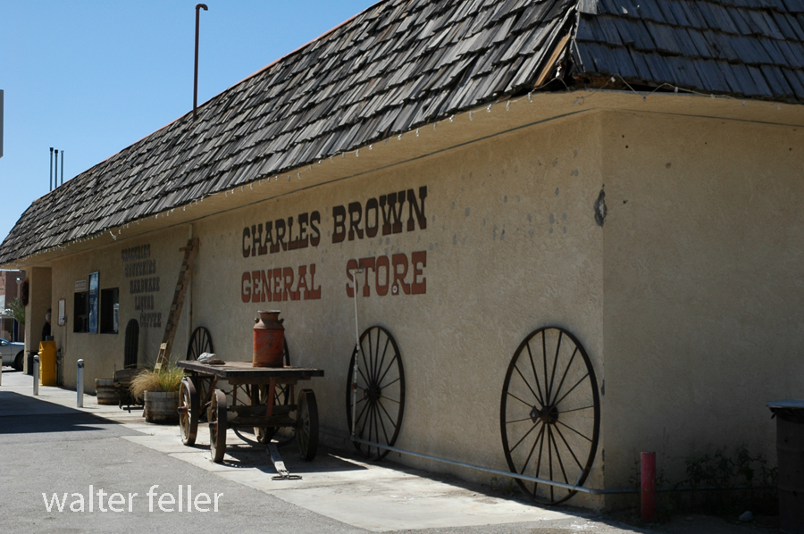
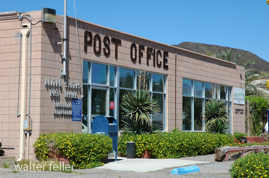
Shoshone, Ca. – 2005
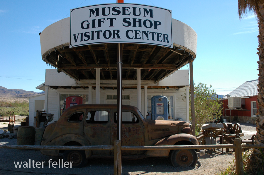
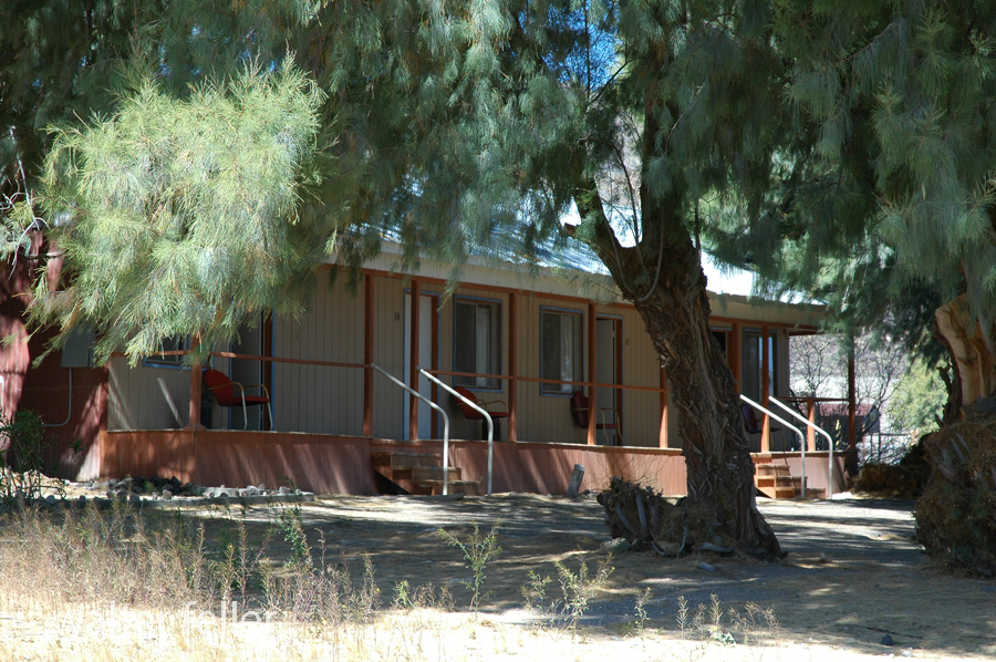
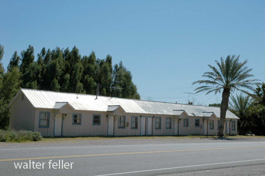
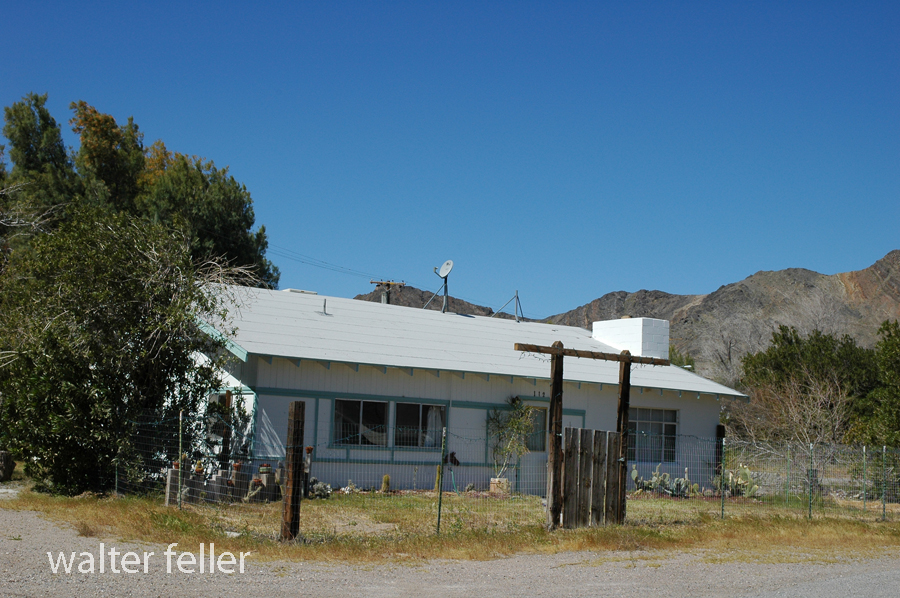
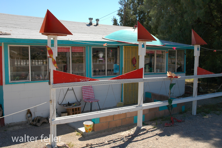
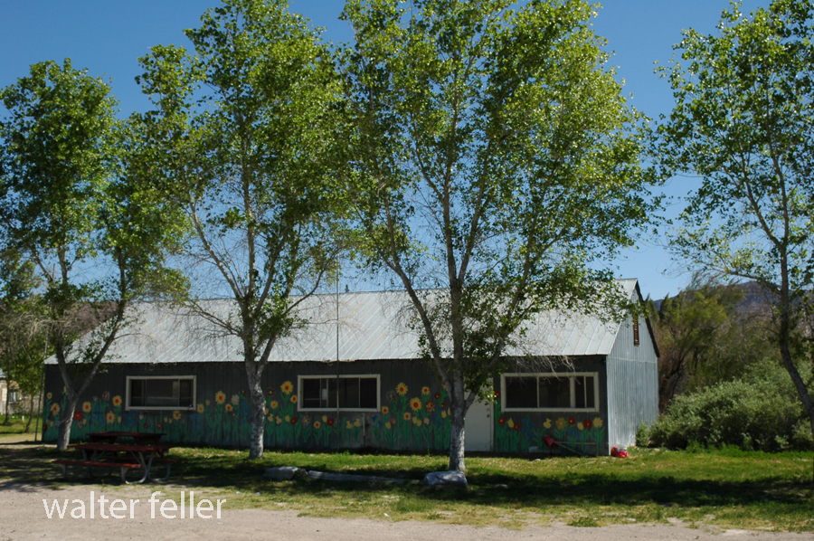


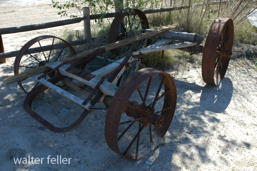
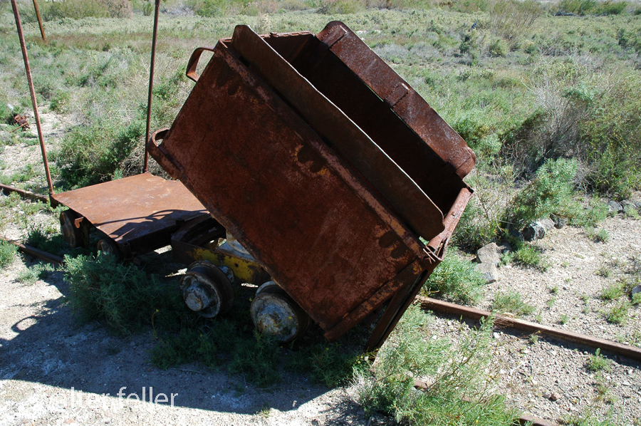
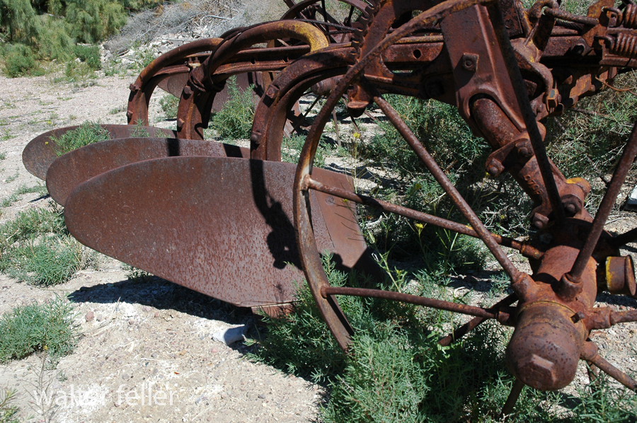

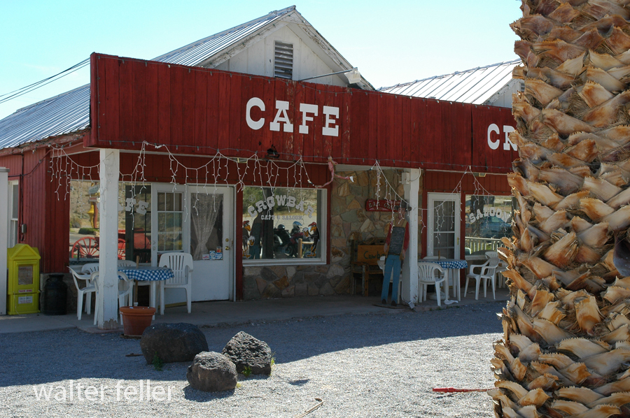
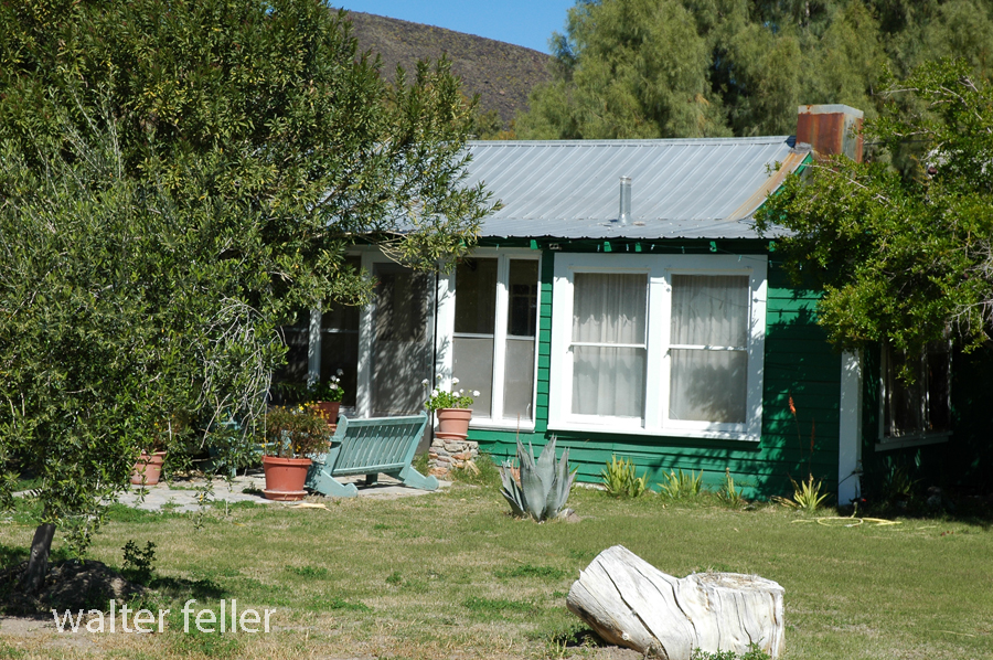
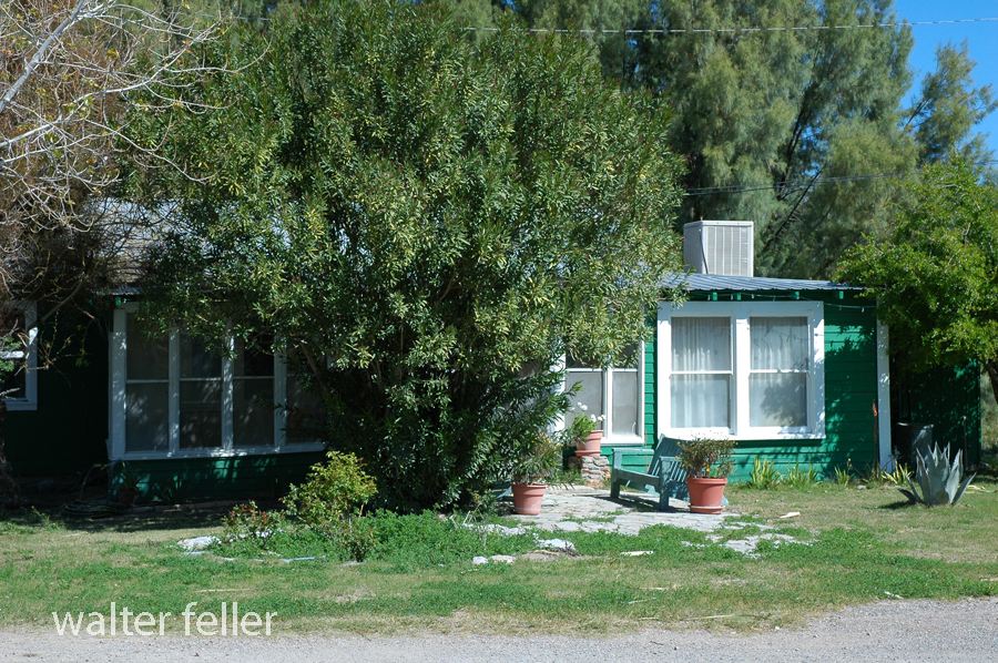

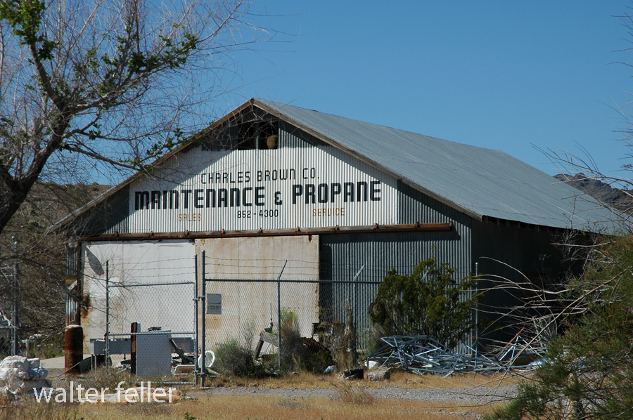
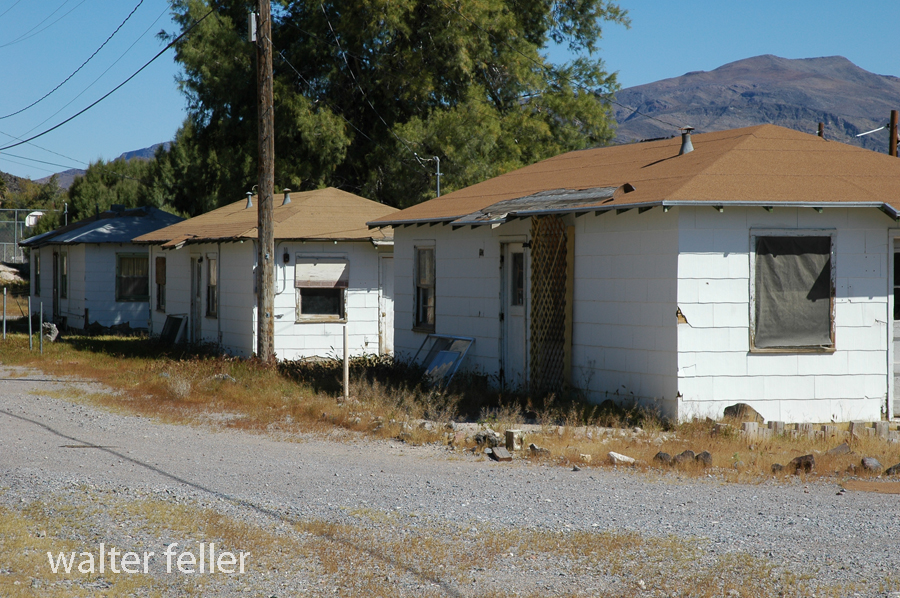
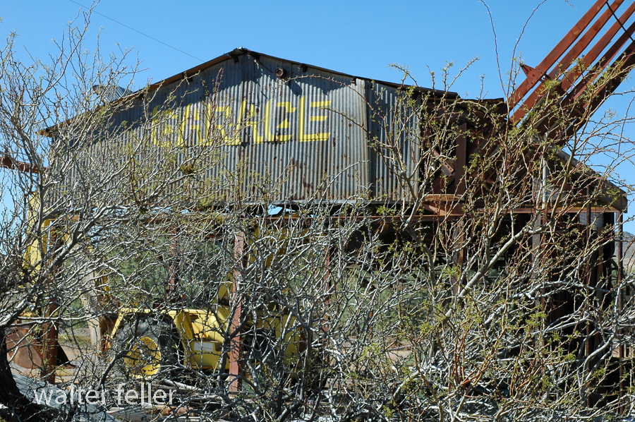
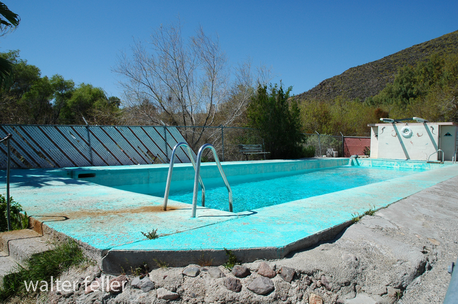
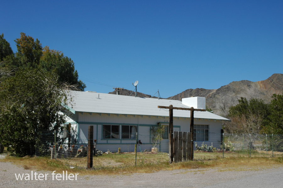
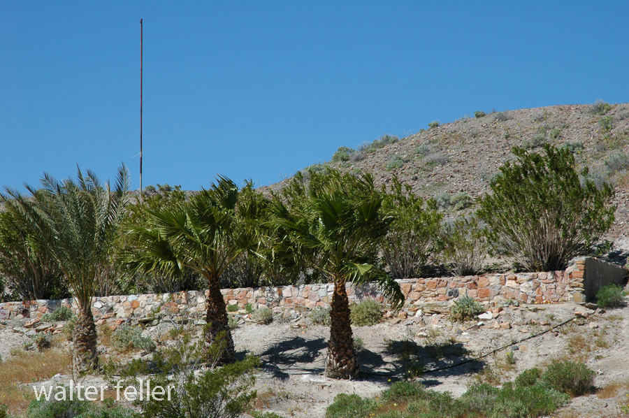
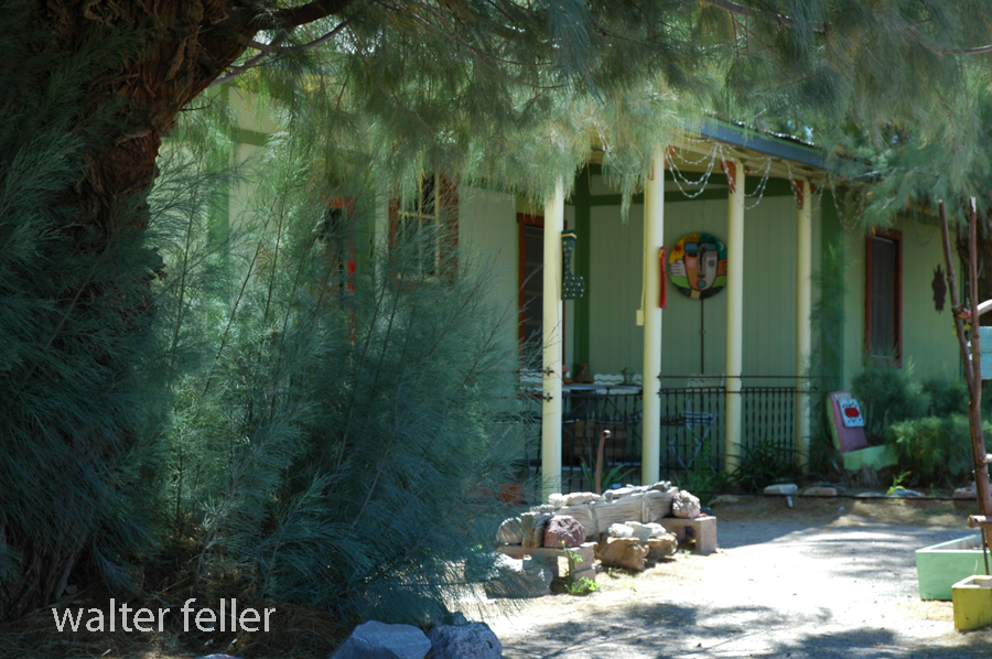
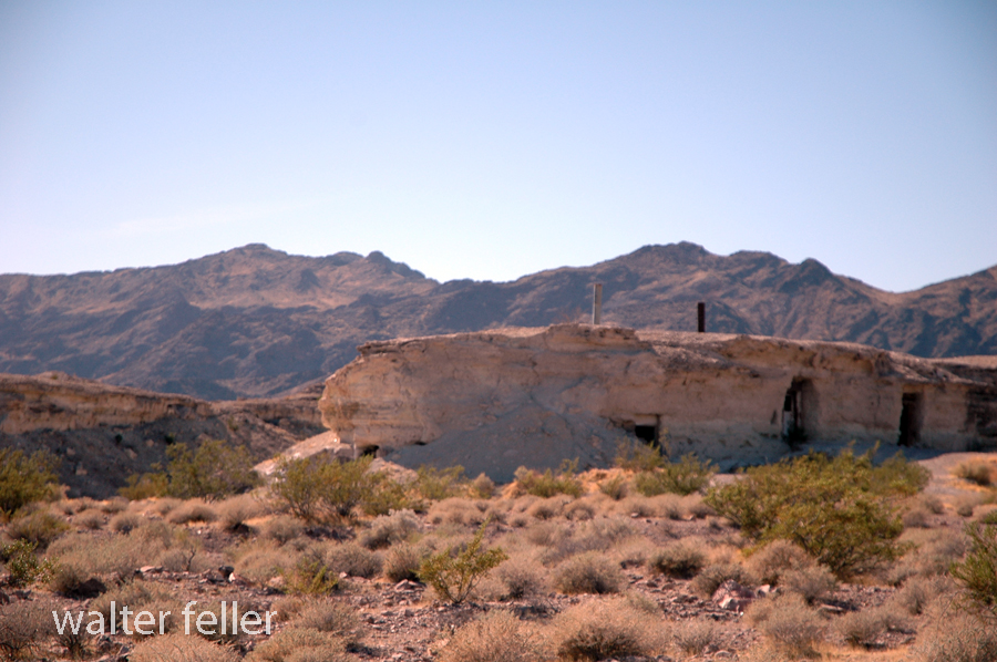
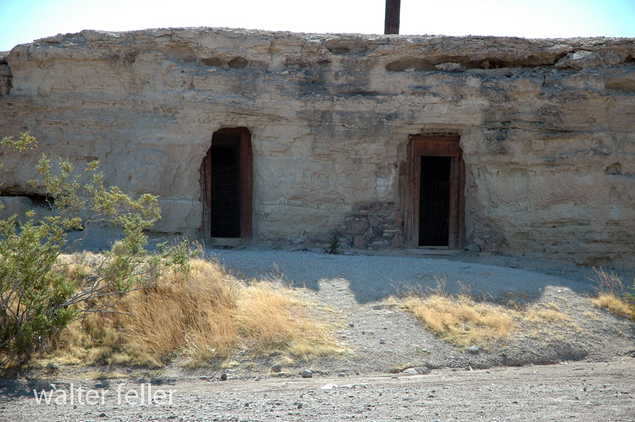
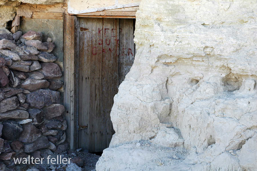
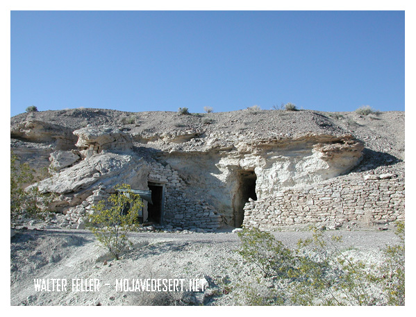
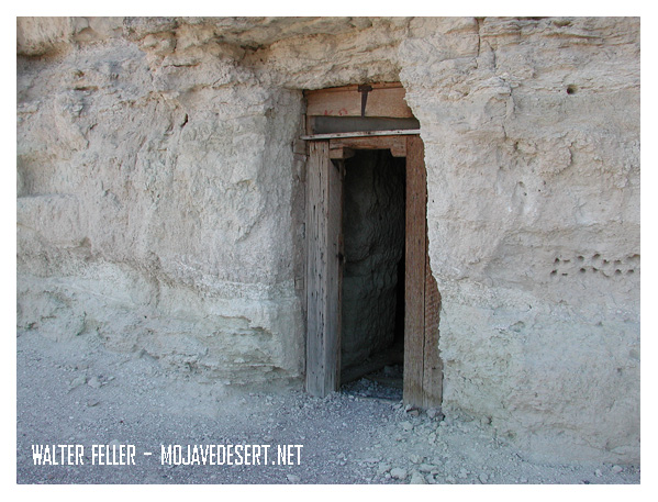
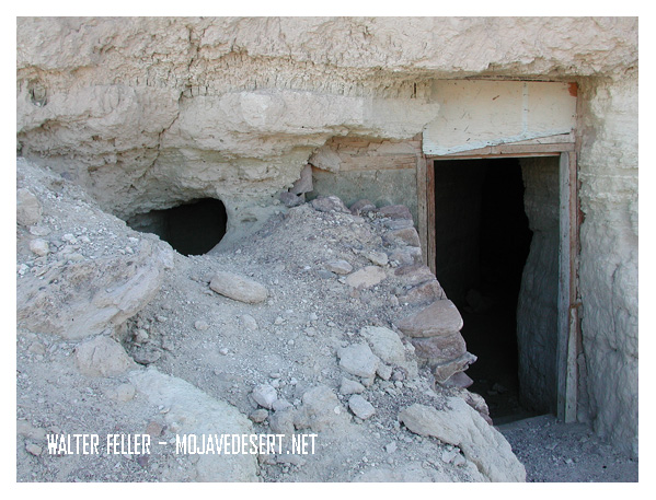
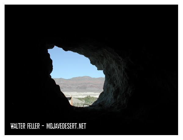
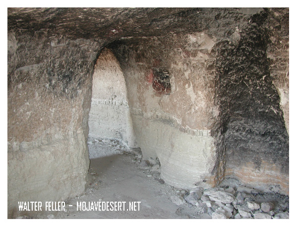
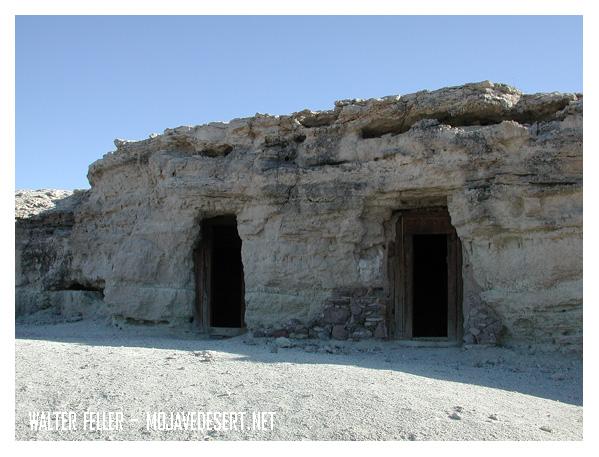
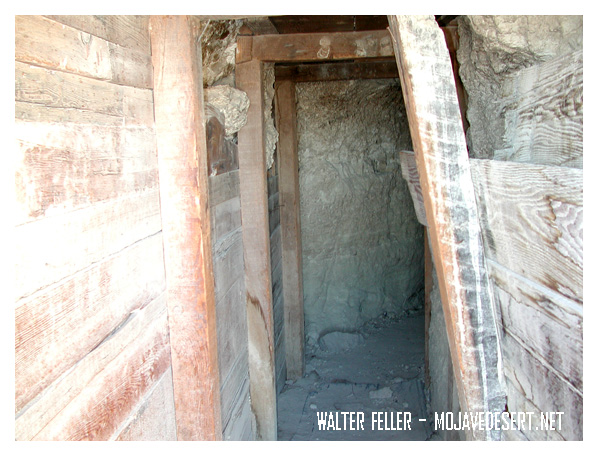
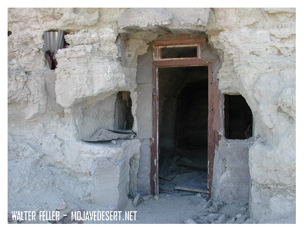
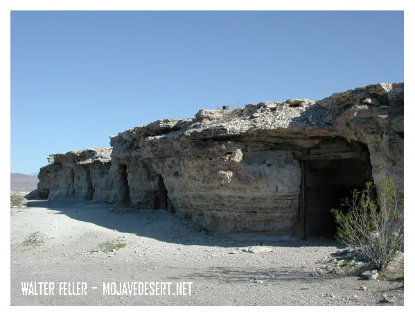
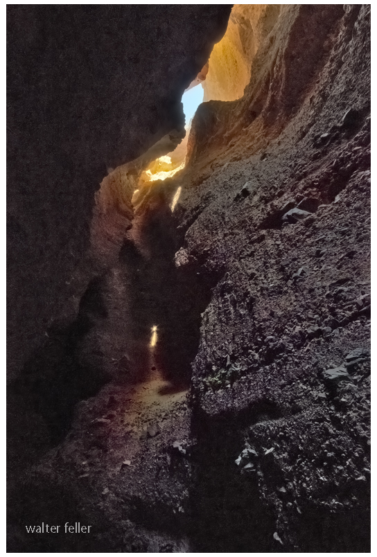
Dublin Gulch in Shoshone, California, is a rich historical site filled with the remains of unique cave dwellings. In the early 1900s, miners and other early settlers dug the caves into soft volcanic ash cliffs. The makeshift shelters protected them against harsh desert weather conditions and extreme temperatures.
These caves were the dwelling place for miners in nearby mines during the early 20th century. Over a certain period, it did take on a kind of community presence. Some of the dwellings even had windows, doors, and chimneys added to them, making them rather homely. Today, Dublin Gulch is a quirky historic site where, among other things, one can see the cave homes and feel what life in the desert must have been like over a century ago.
Dublin Gulch is situated near the small town of Shoshone, one of the important points that both travelers and miners had to pass through in the early 1900s. It lies close to Death Valley and several mining areas. A small piece of history, it offers a glimpse into the rugged, resourceful lives that were lived early on.
Dublin Gulch, Shoshone, Ca. – 2015

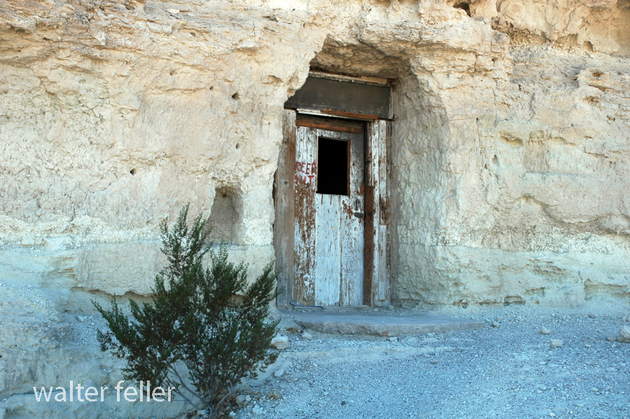
Dublin Gulch, Shoshone, Ca. – 2003
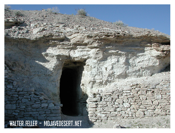
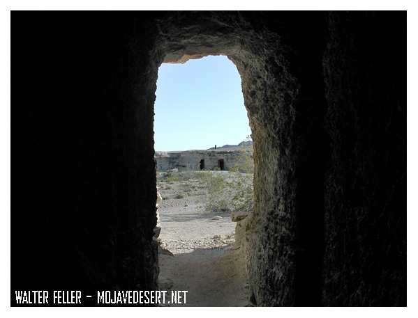
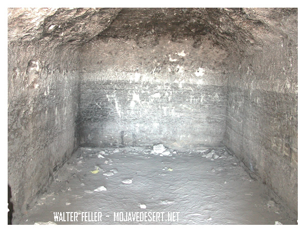

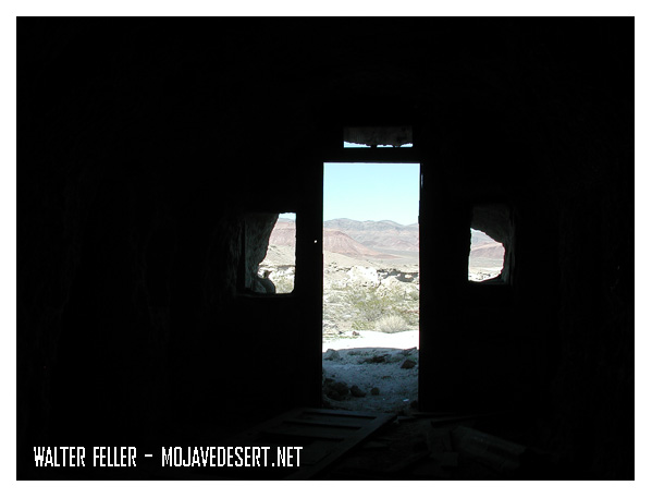
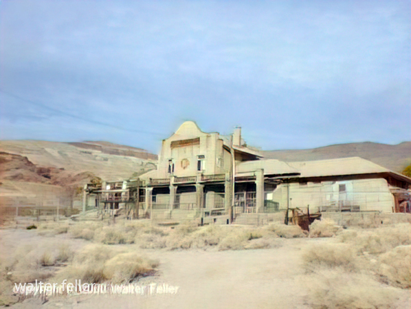
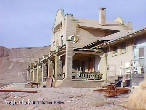
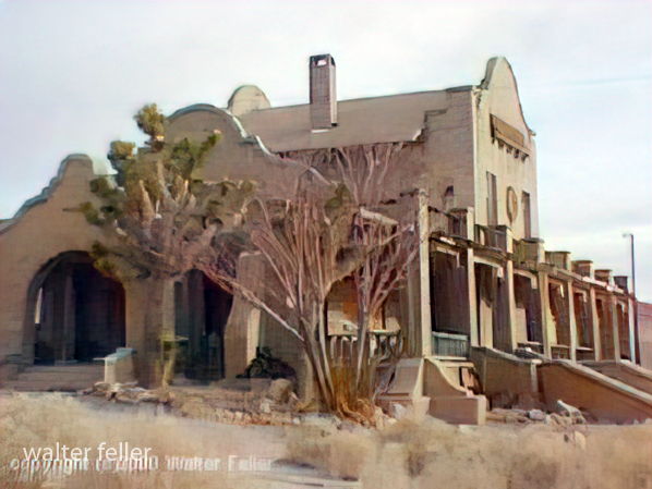
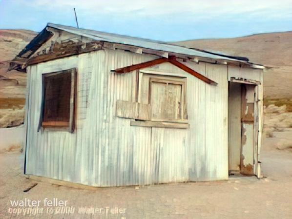
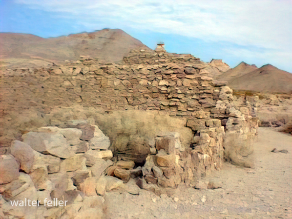
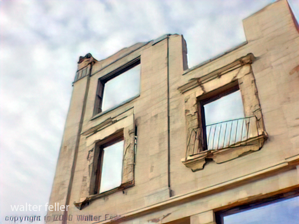
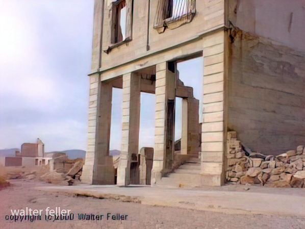
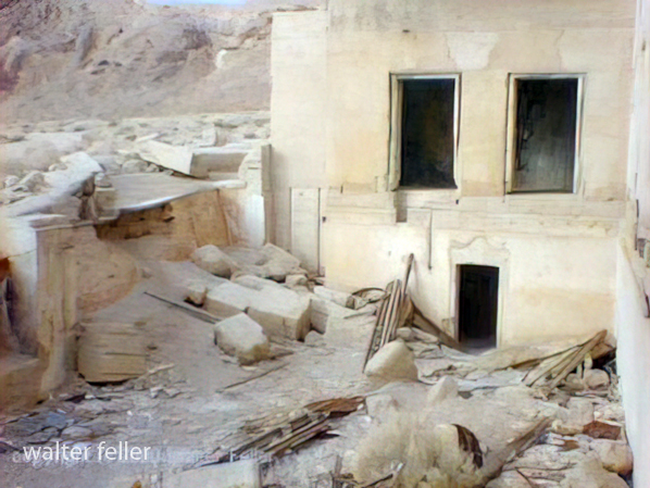
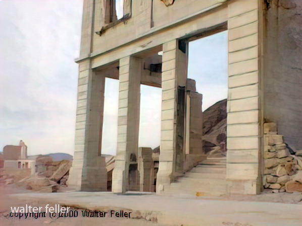
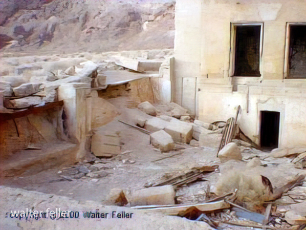
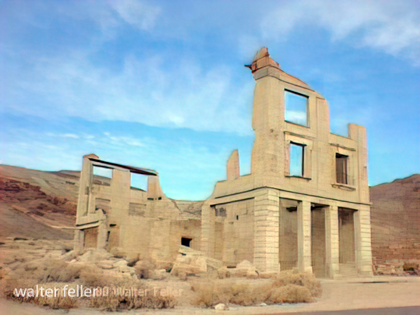
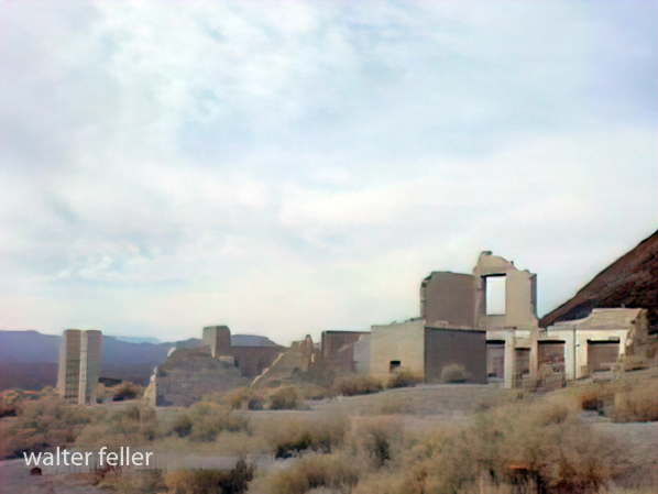
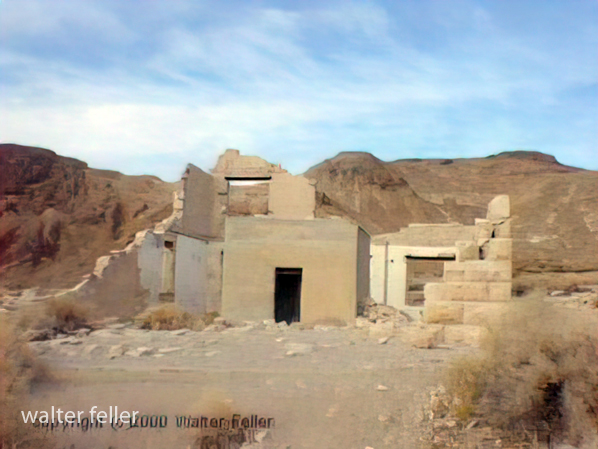
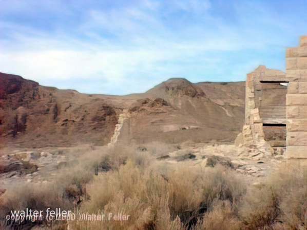
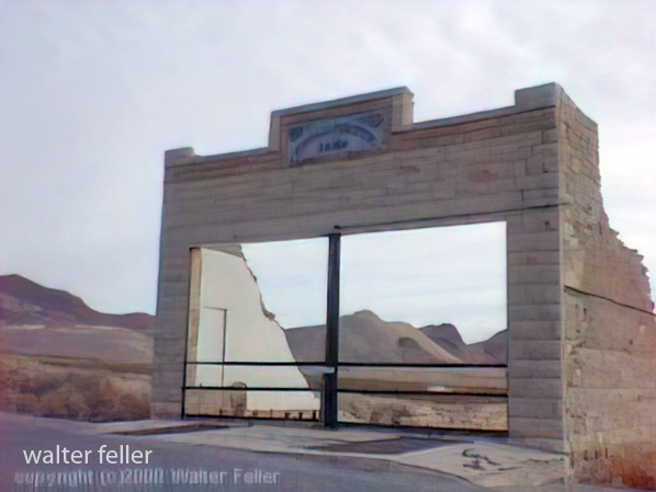
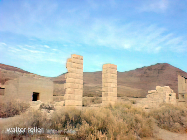
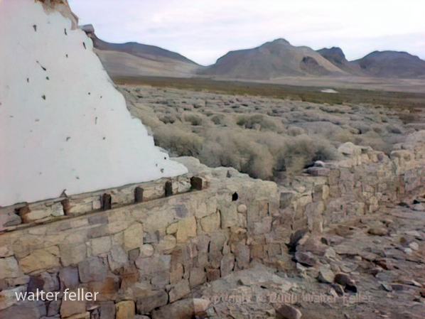
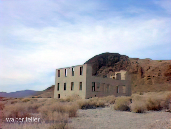
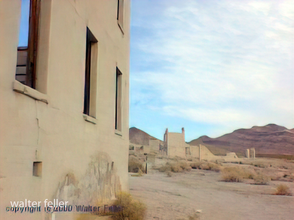
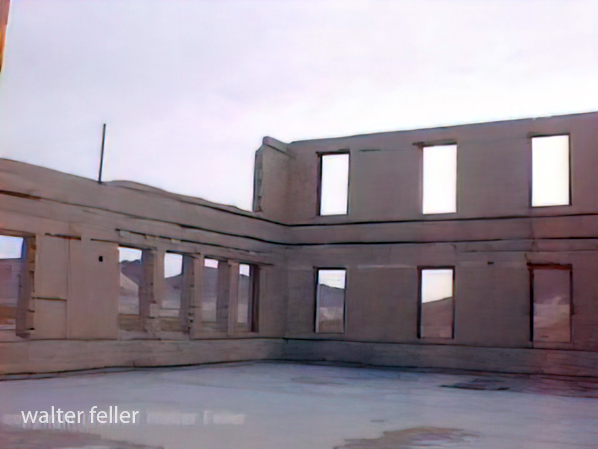
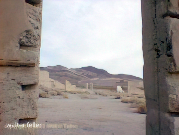
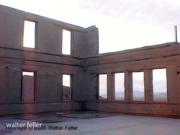
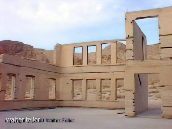
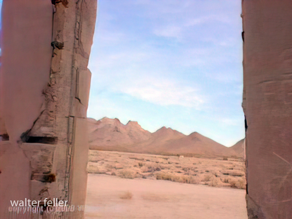
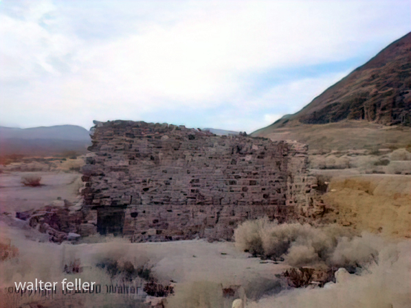
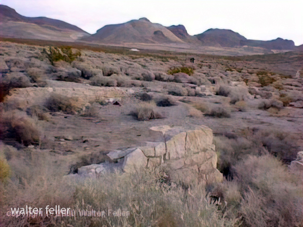
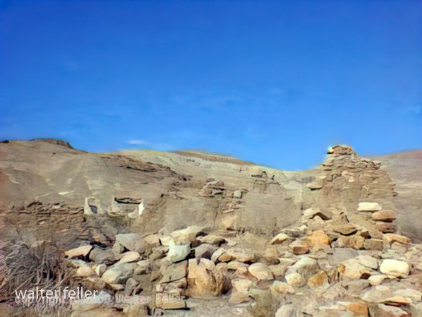
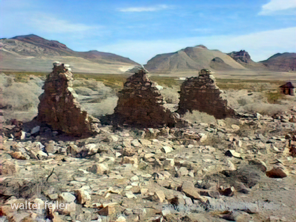
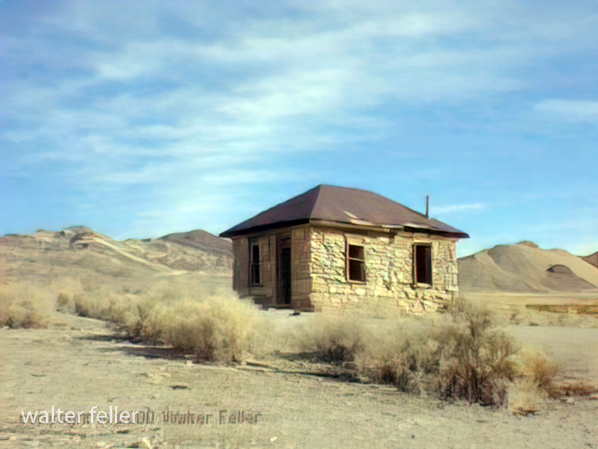
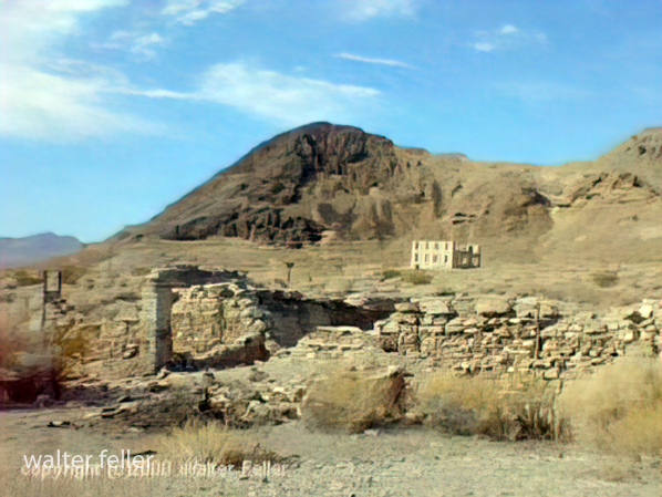
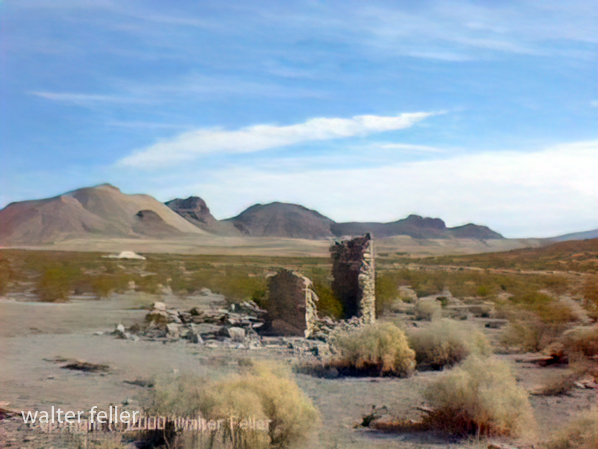
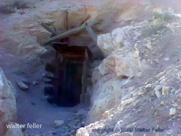
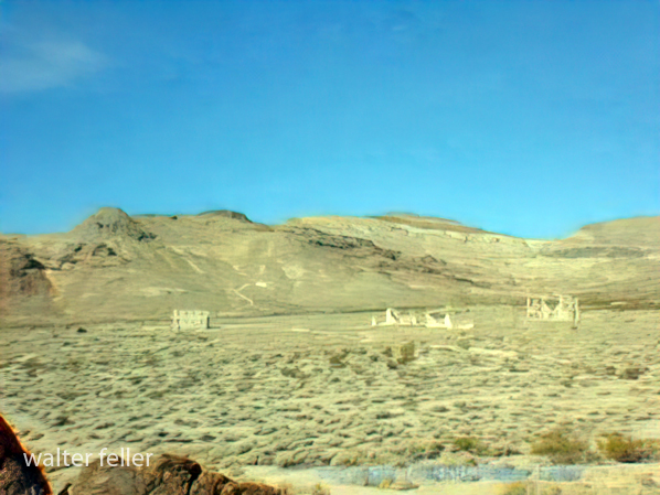
Photos of Rhyolite, Nevada – 2000











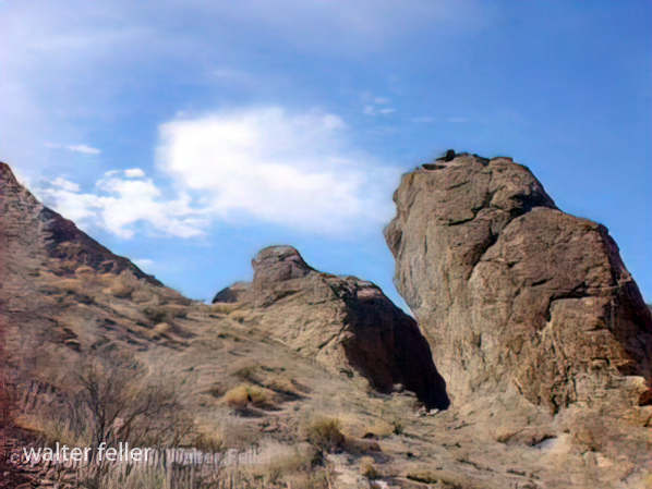

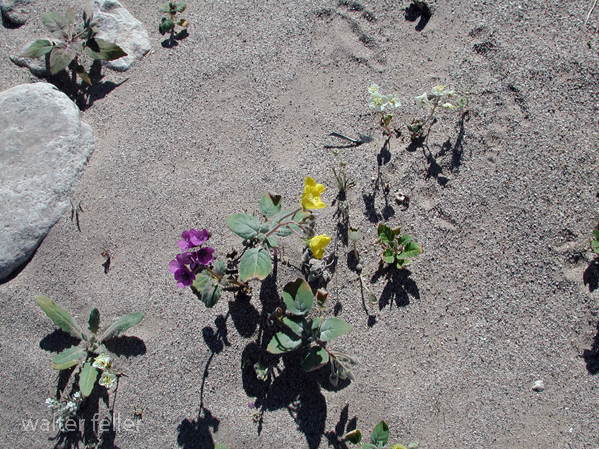
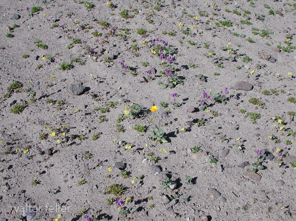
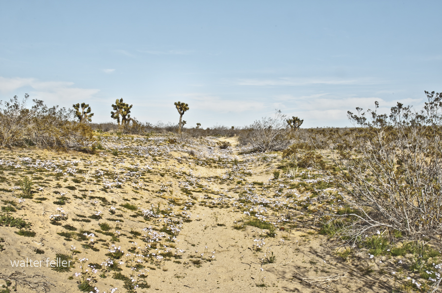
The verbena had issues and descended from the top in waves overwhelming the primrose lying in a poorly planned ambush. The white flowers were shocked and their little mouths made an ‘o’ shape as they petrified themselves in anticipation of the inevitable.
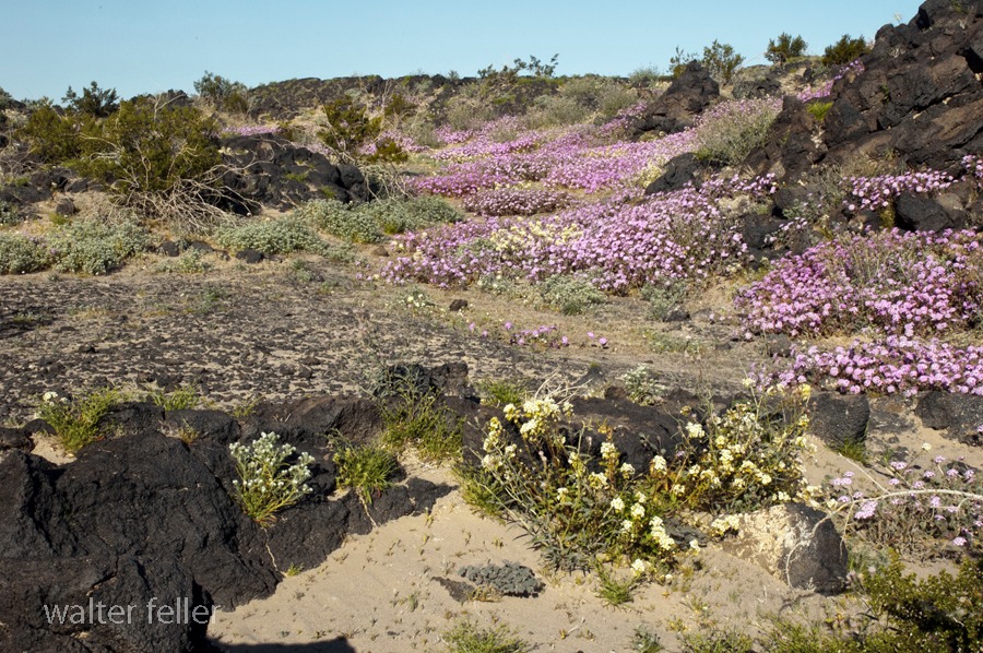
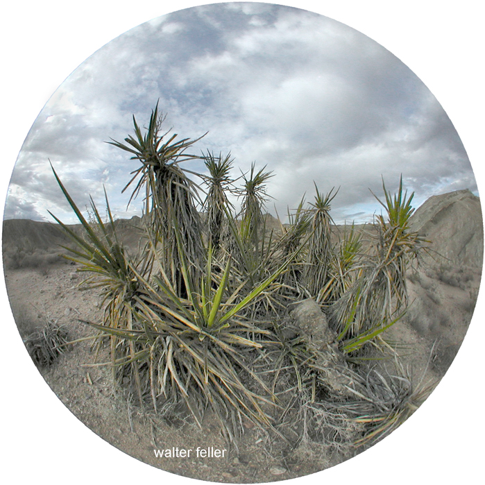
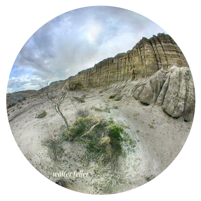
Owl Canyon – Nikon 990 – 180 fisheye lens – 11/2015

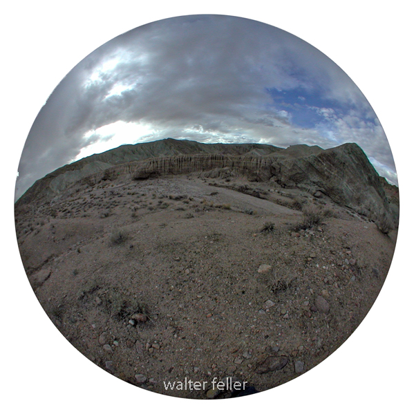
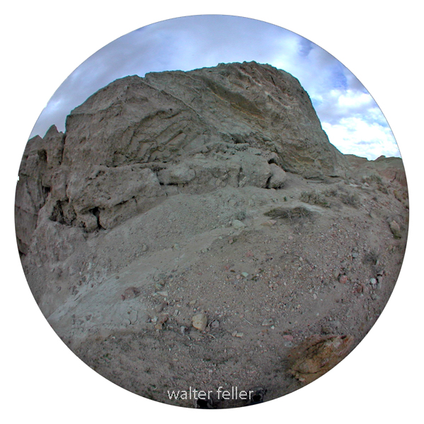

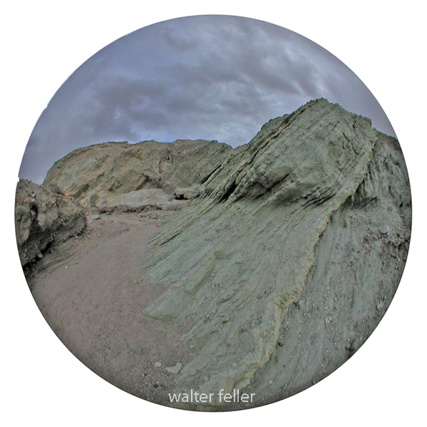
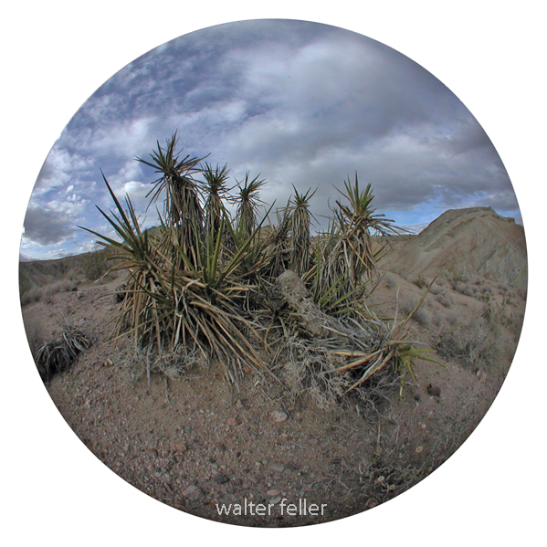

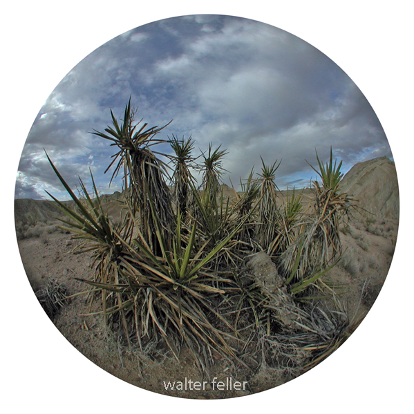
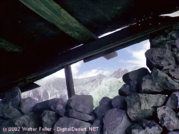
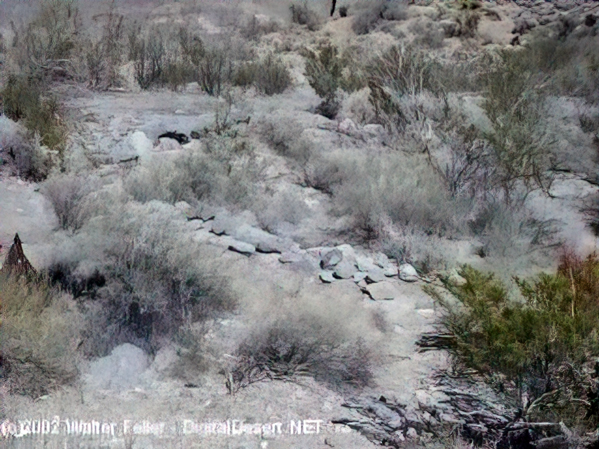
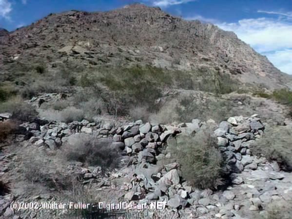
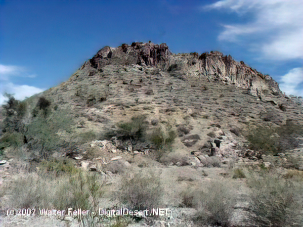
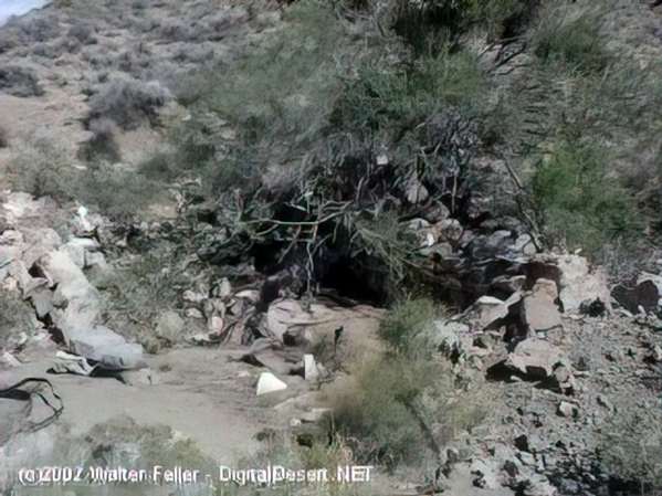
These photos were shot in 2003 with a Sony Mavica digital camera. Unfortunately, the original full-size (still low resolution) photos were lost. These images have been recovered from 320×240 images that were posted on the Digital-Desert website.
“In the spring of 1880, George Goreman and P. Dwyer, prospectors from Ivanpah, discovered rock that assayed from $640 to $5,000 a ton in silver. Their discovery, about 15 miles south of the old Macedonia District, was the birth of the Bonanza King Mine.”


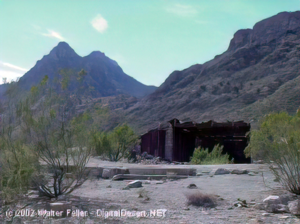



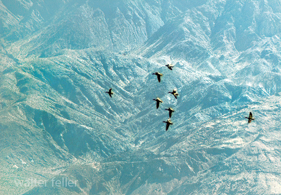
Canada Geese at Saratoga Springs, Death Valley National Park

Owl Canyon
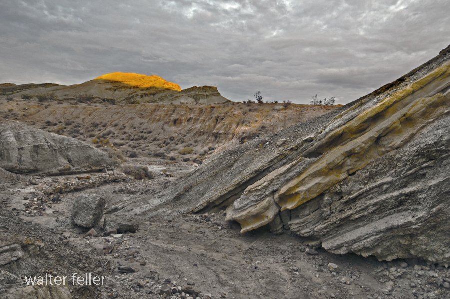
Owl Canyon
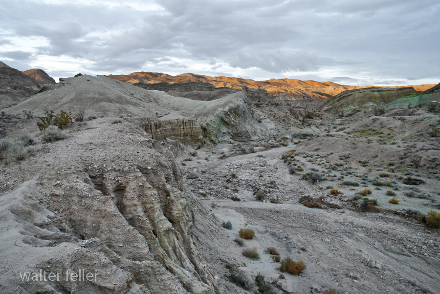
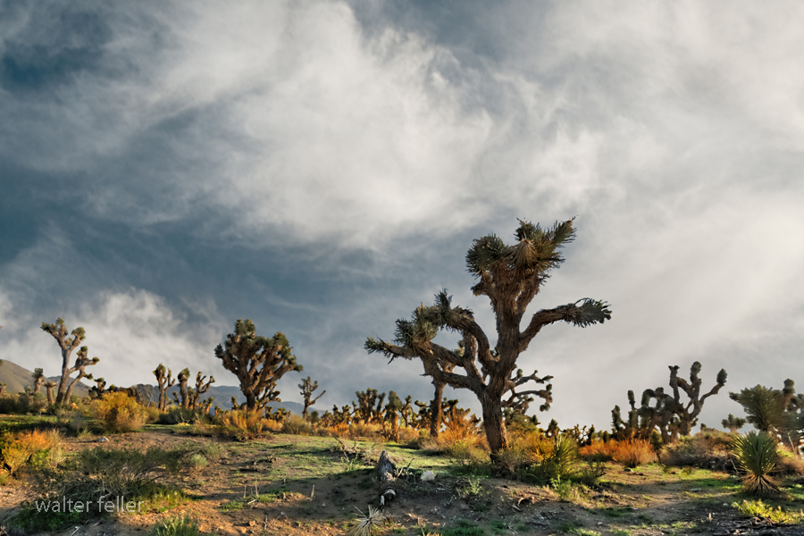
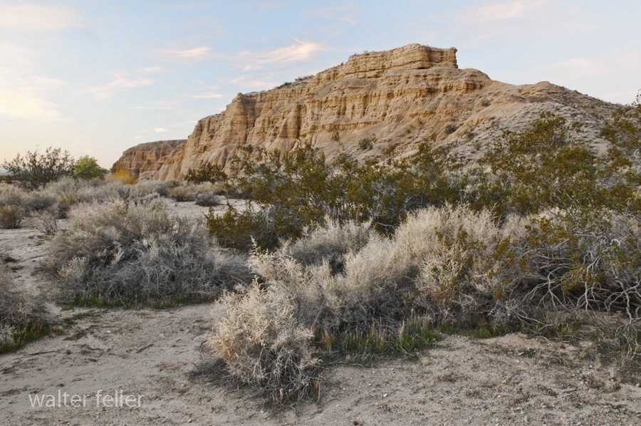
Ambient Sunrise
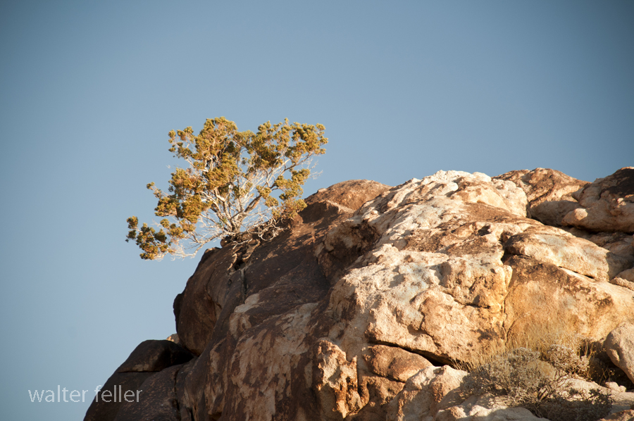
Coxcomb Mountains
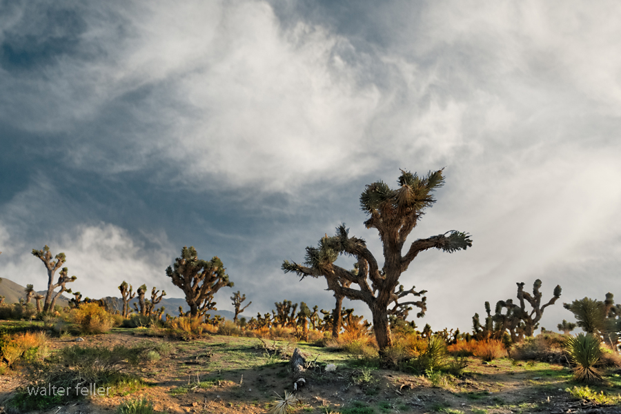
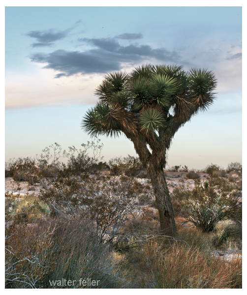
Apple Valley – Joshua Tree Forest
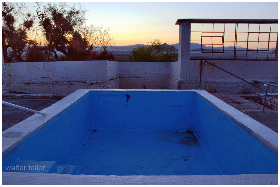
Zzyzx – Desert Studies Center
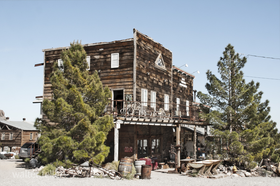
Techatticup Mine – Eldorado Canyon, Nelson, Nevada – 3/2015
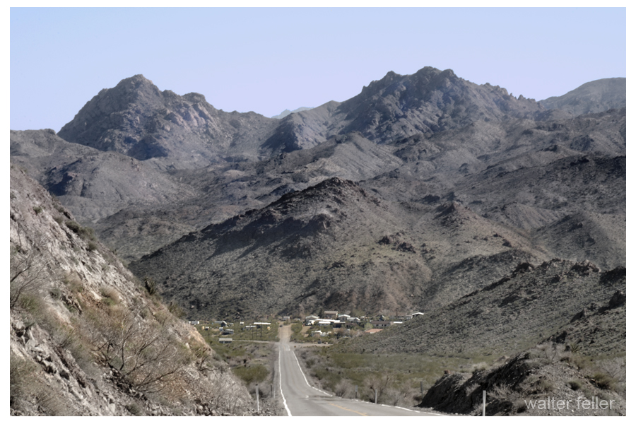
Nelson, Nevada – 3/2015
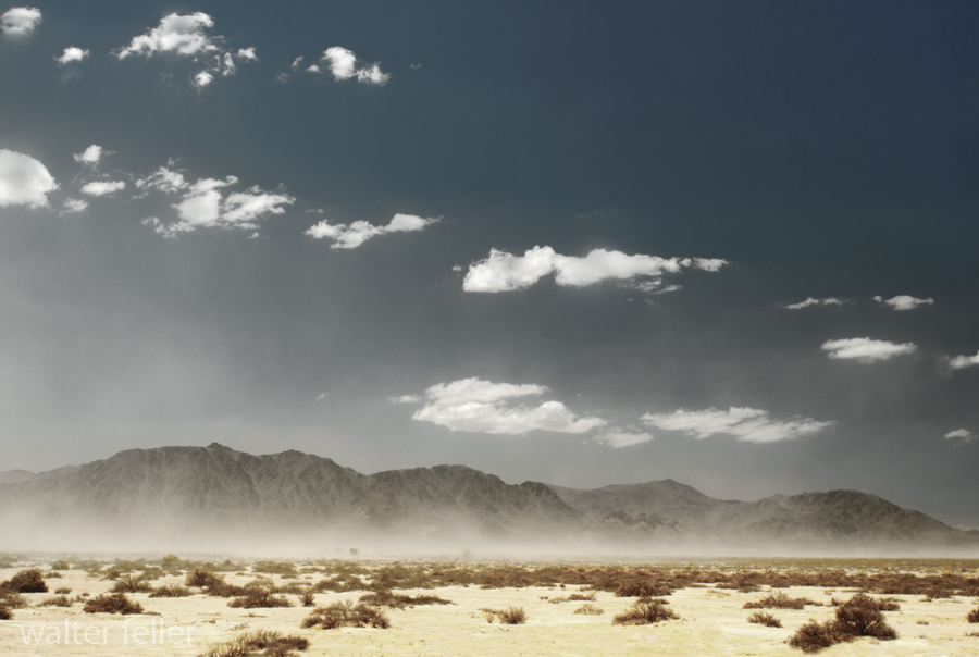
Lucerne Dry Lake
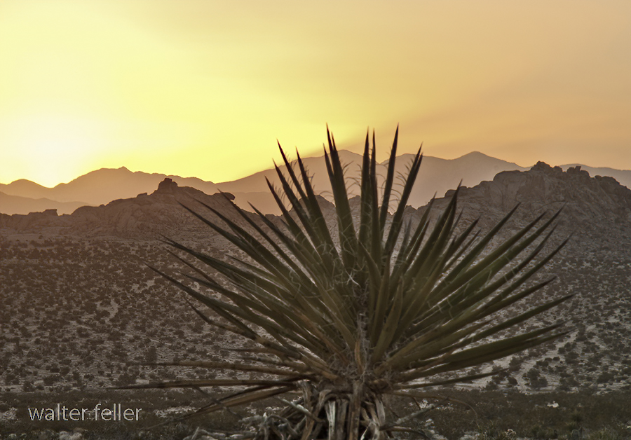
Tomorrow’s Sunrise

Wild Places – Cougar Buttes
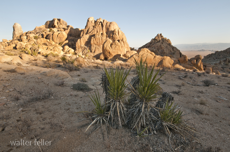
The high country is different than the low country. The high country is higher and of course the low country, lower.
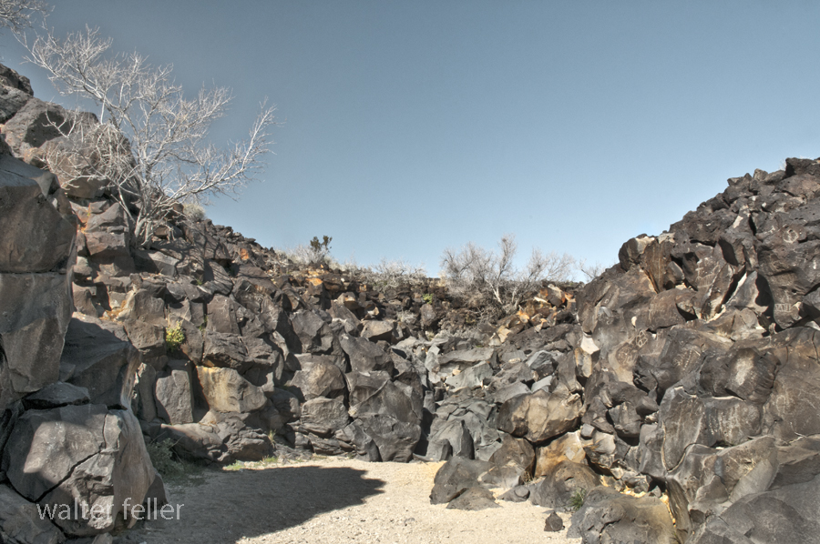
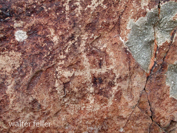
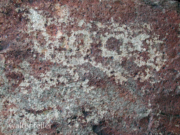
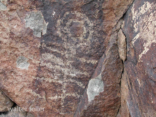
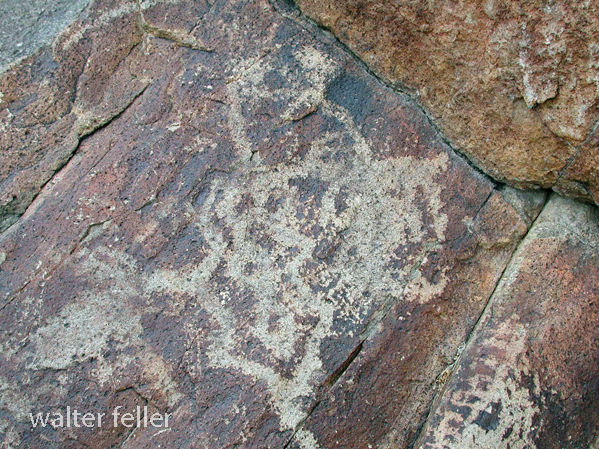
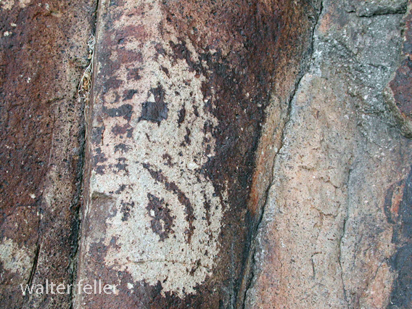
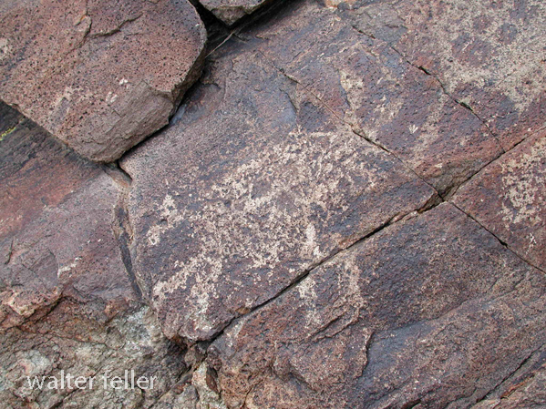
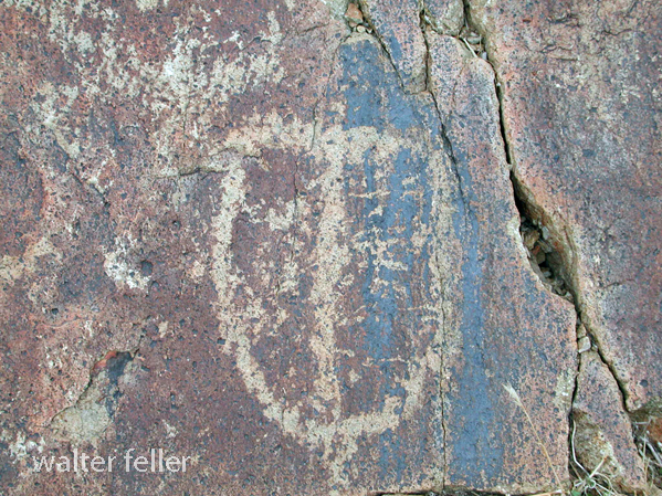
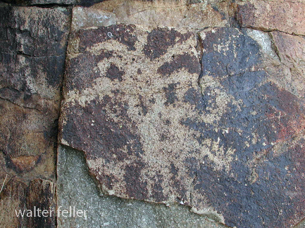
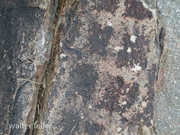
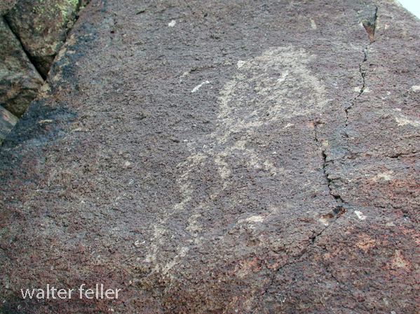
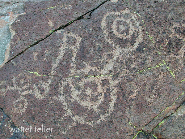
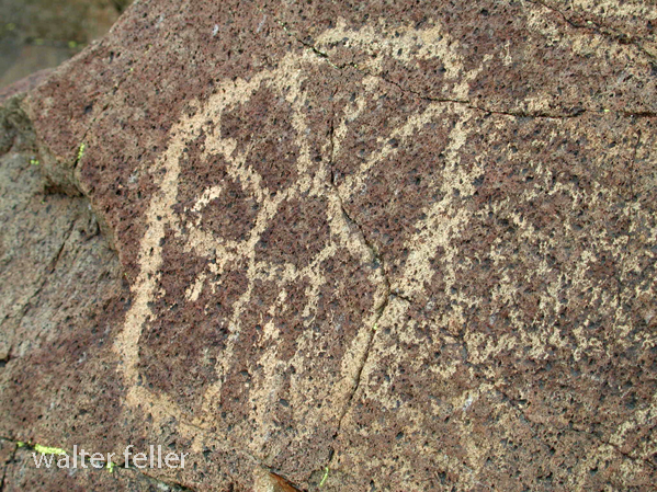
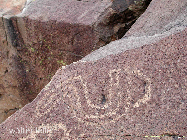
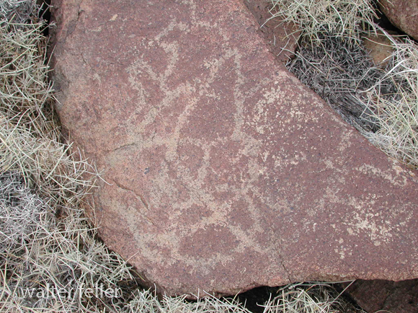
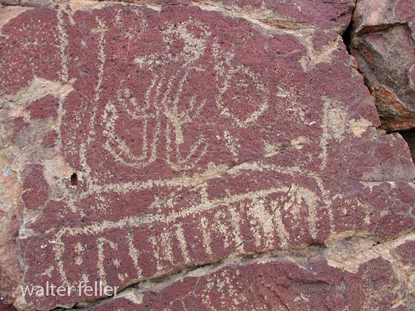
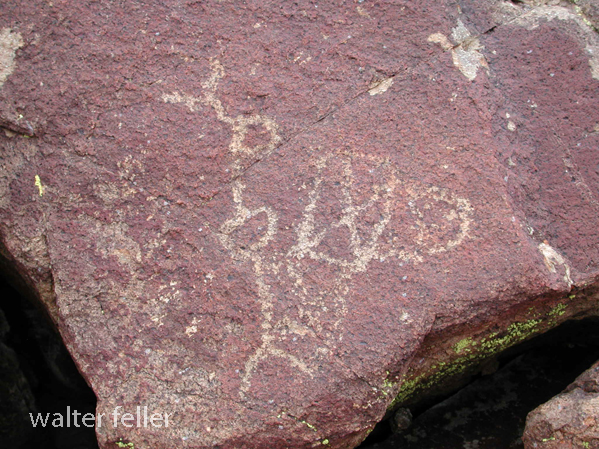
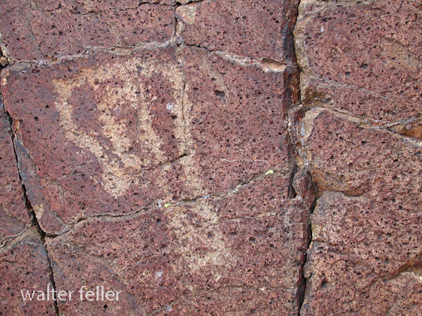
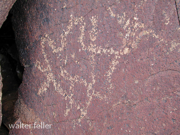
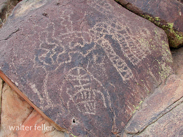
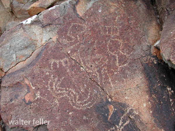
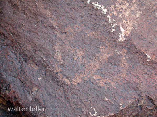
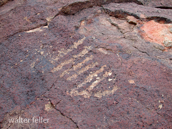
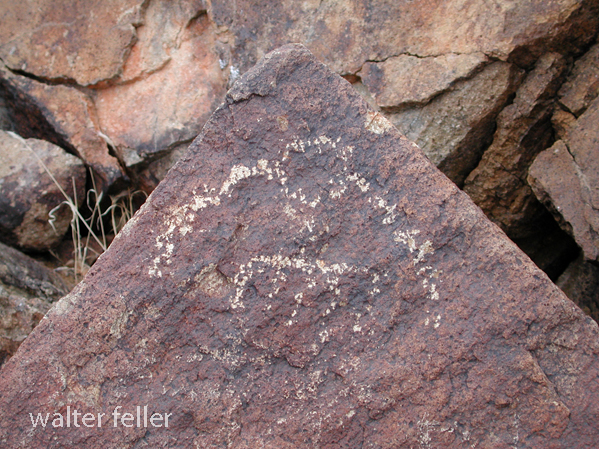
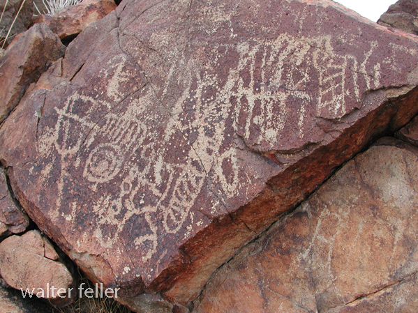
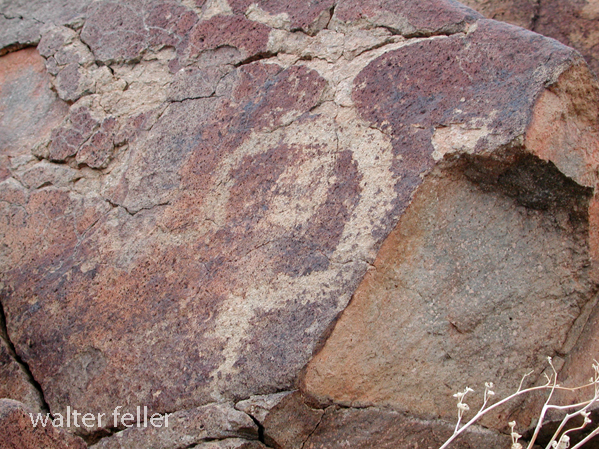
Petroglyphs – February 2011
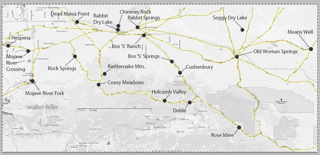
These maps are based on a USGS 1901 base map and overlay onto a current street map. This series was developed to show how the dependence on potable water for man or beast shaped the transportation network in the late 19th Century.
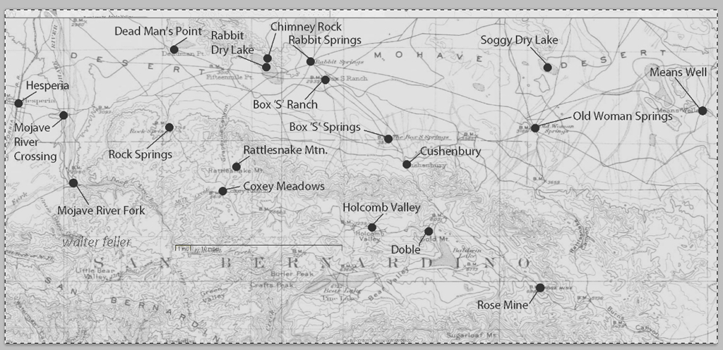
This map identifies various geographic locations, general features, and roads throughout the Lucerne & Johnson valleys as it was in 1901.
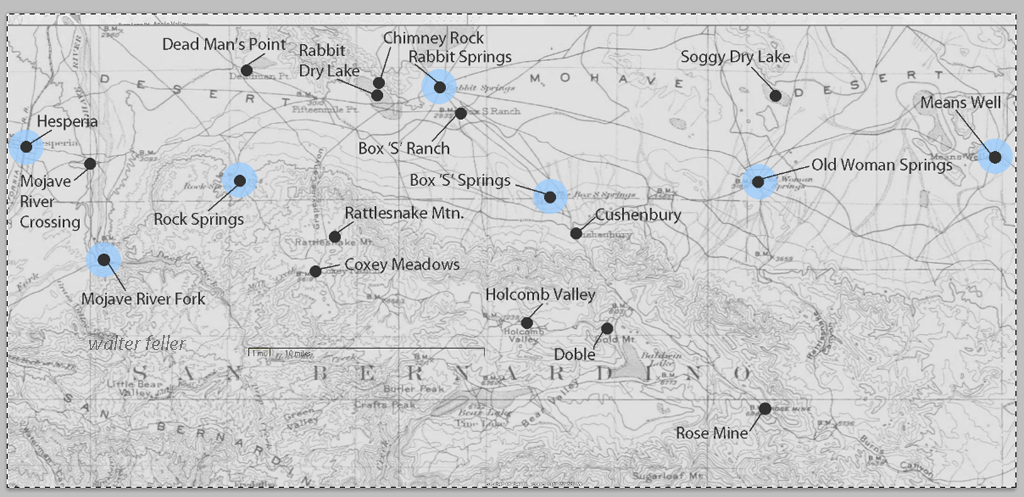
The blue marks show reliable water and rest stops as would be used by travelers and teamsters. These water stops are roughly 10 miles apart as the roads go.
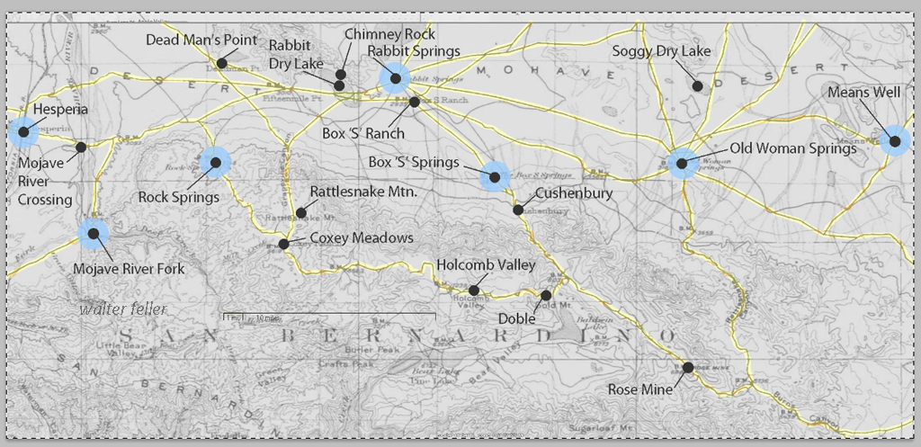
The generalized trails connecting the water and rest stops are highlighted. A few redundant and miscellaneous trails have been purposely omitted for clarity.
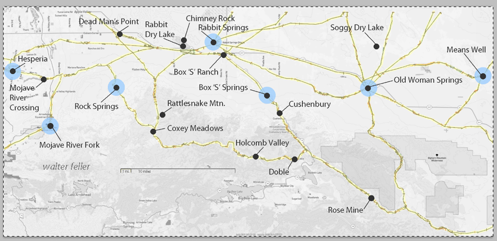
This map has had the 1901 base map replaced with a current street map.
This map has had the water node locations removed.
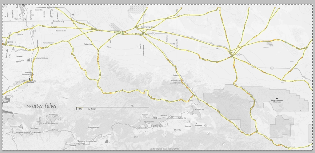
Finally, the 1901 trails have been highlighted and the location labels removed for clarity in showing the relationship between the roads then and now.
Soggy Dry Lake – Johnson Valley

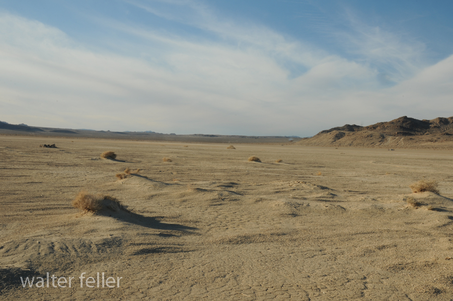
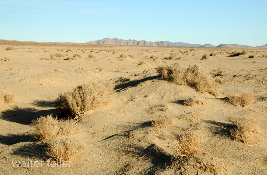

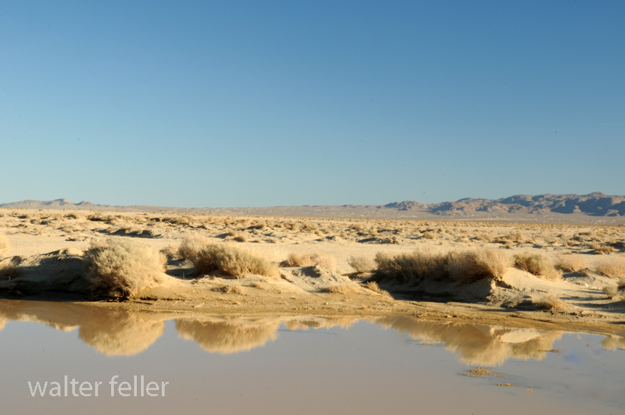
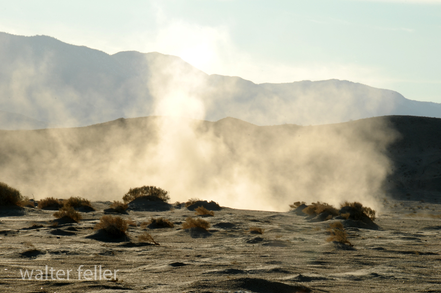
Playa formation – “A playa is a dry, vegetation-free, flat area at the lowest part of an undrained desert basin. It is a location where ephemeral lakes form during wet periods, and is underlain by stratified clay, silt, and sand, and commonly, soluble salts. Playas occur in intermountain basins throughout the arid southwestern United States. Although playas may appear as featureless plains, they are rich in features and characteristics that can reveal information about climates, past and present. “
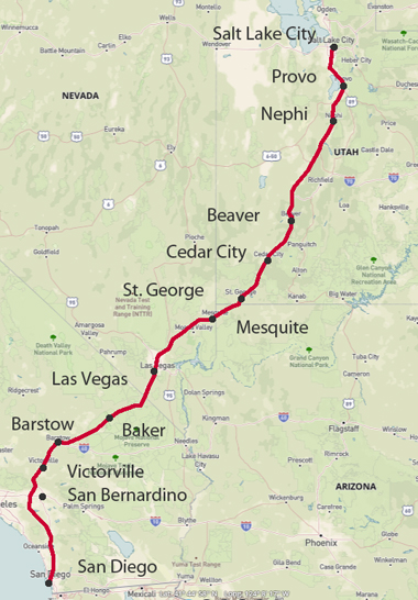
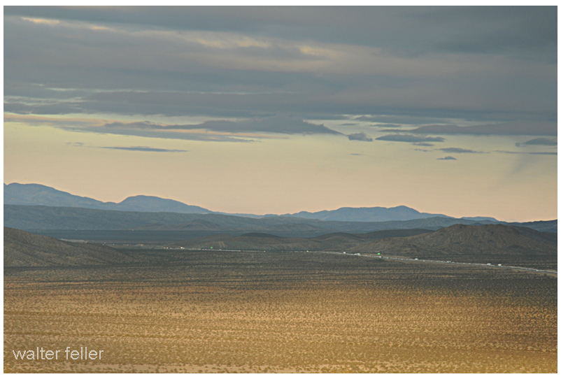
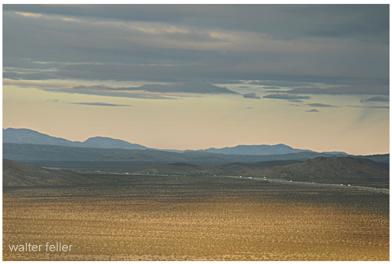
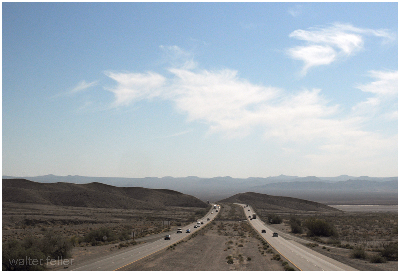
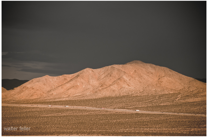
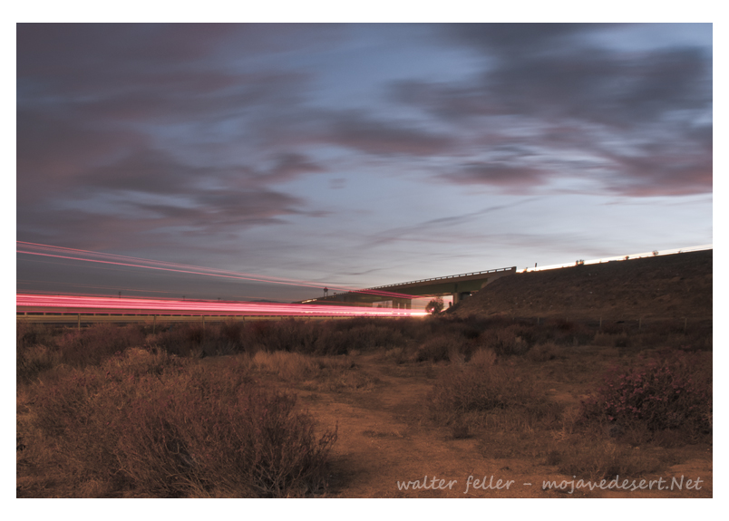
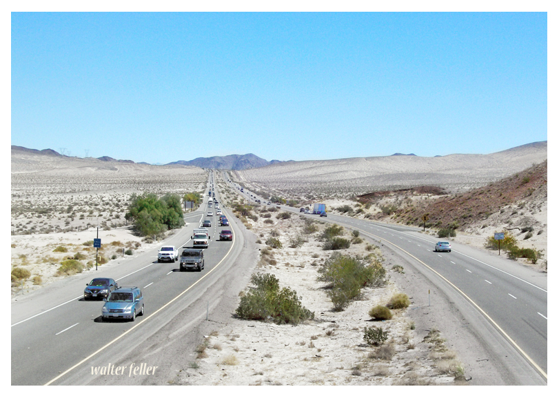
Interstate 15 Freeway, San Diego to Salt Lake – through the Mojave Desert
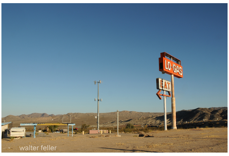



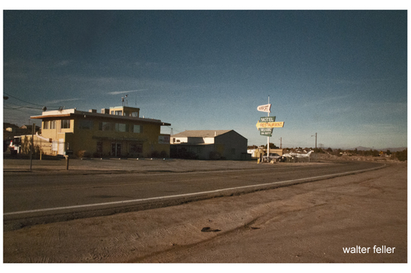
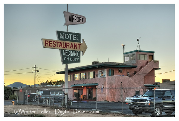
Siberia was originally a Santa Fe Railroad water stop and siding. When the National Old Trails Road and Route 66 passed by, service stations, cafes, and tourist camps operated out of there, providing the desert traveler comfort, fuel, and mechanic services. (Photos 2001)

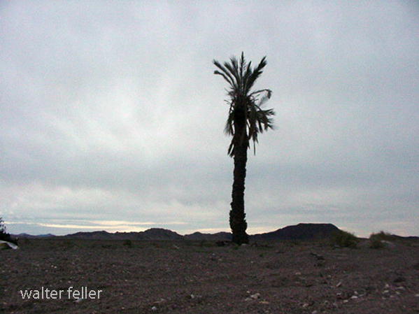
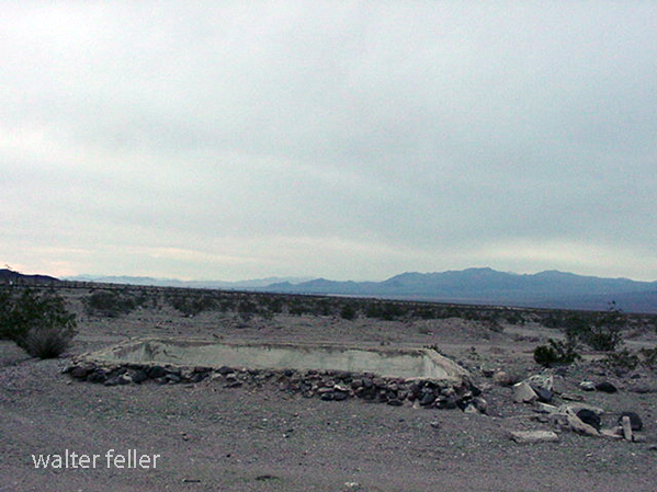
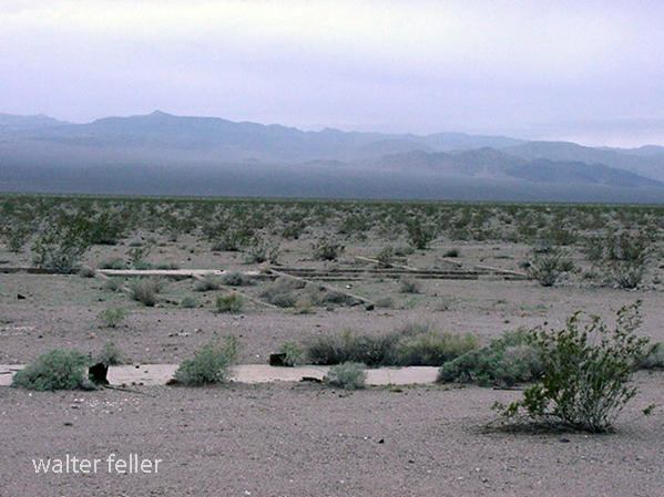
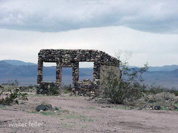
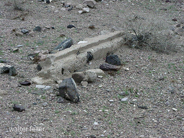


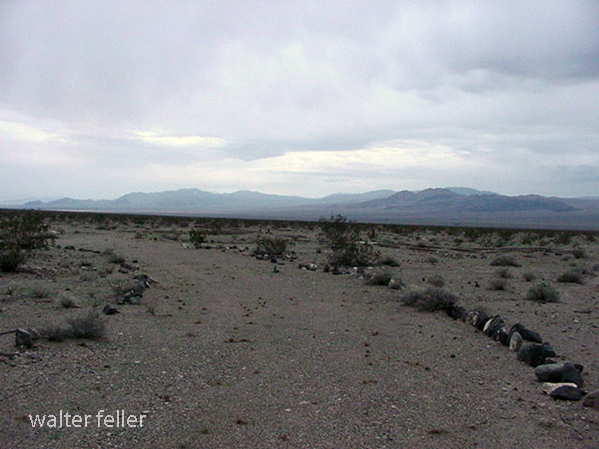
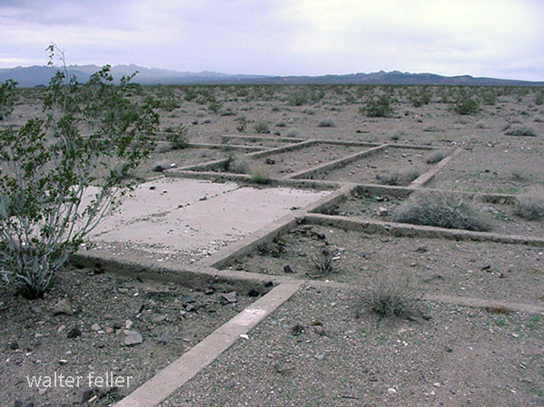
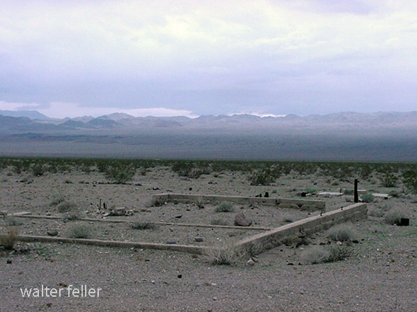
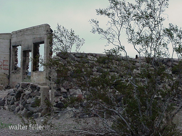
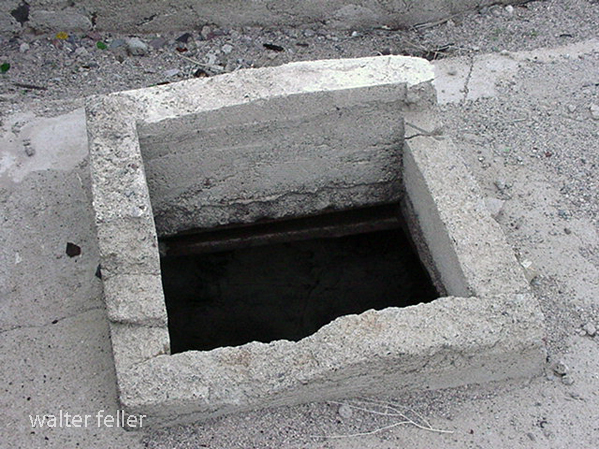
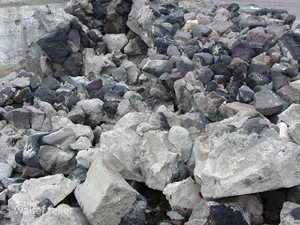
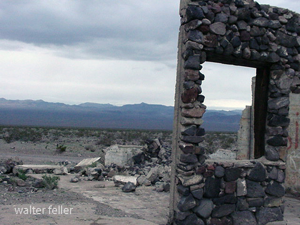
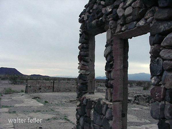
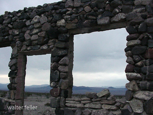
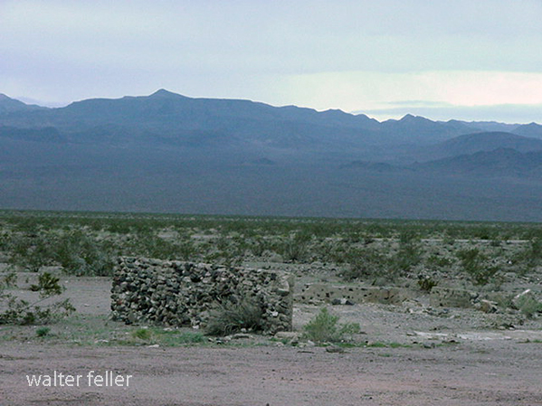
Leadfield Ghost Town, Death Valley
“Leadfield’s legacy is the road through Titus Canyon. A narrow, twisting canyon that would have been avoided by road builders any other time, but the reports of potential riches were too appealing. . . .

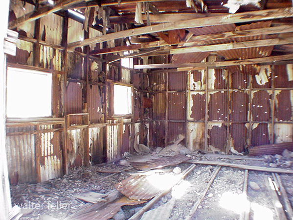
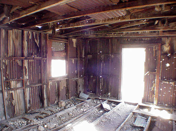

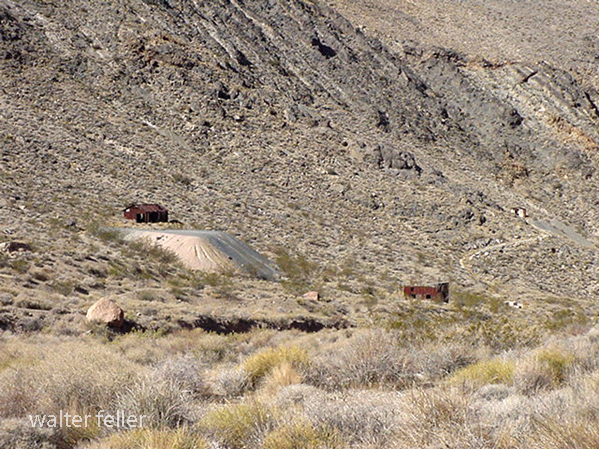

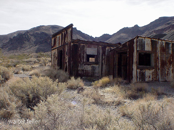
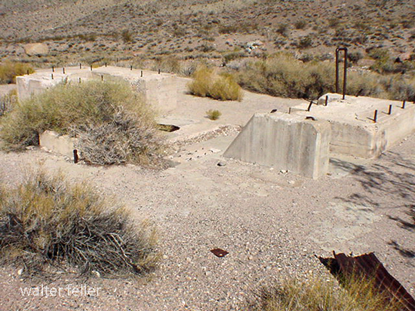
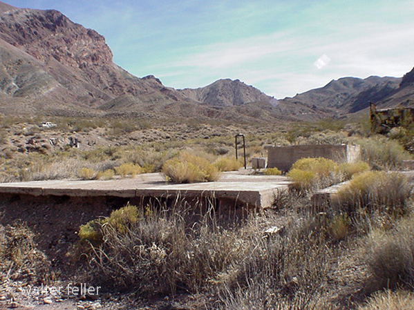

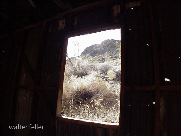
Rand Schist of Rand Mountains, Schistose rocks of Rand Mountains described briefly ·by Hess (1910, p.28-29, 46) and by Hershey (1902a, p. 273); named, described, and mapped as Rand Schist by Hulin ( 1925,p. 23-31, pl. 1), and officially adopted for use in this report.
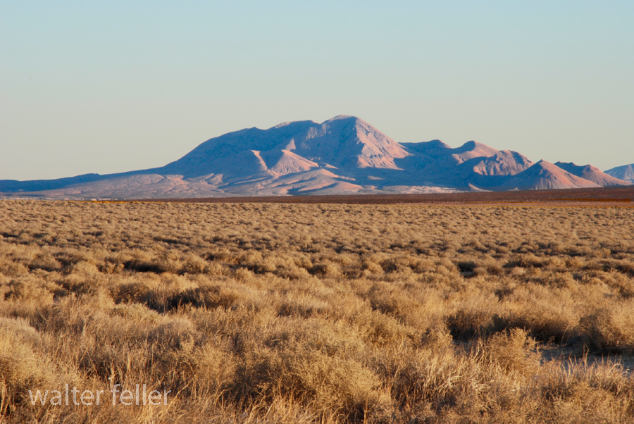
Rand Schist folded into anticlinal arch plunging gently westward as indicated by foliation attitudes (figs. 3, 4). On north, schist overlain by gneissic rocks (Johannesburg Gneiss of Hulin), separated by possible fault or thin zone of cataclastic(?) transitional rock; on south and near Randsburg, schist intruded by quartz monzonite; extends unknown distance westward under ·alluviated valley, possibly to Garlock fault. Possibly 10,000 feet of schist exposed; lithology identical to that of Pelona Schist of Sierra Pelona and of Tehachapi Mountains; gray schist, predominating over green schist, contains occasional pods of fibrous actinolite schist; thin layers of quartzite and of marble, mostly in southern and western exposures. In exposures northeast of Johannesburg, albite content of schist increases to 75 percent.
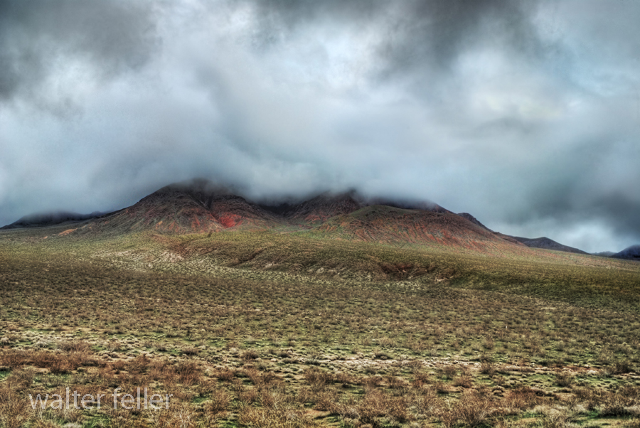
Type locality of Rand Schist designated as generally north-dipping section in Rand Mountains (fig. 4), from quartz monzonite intrusion just south of Randsburg northward to contact with overlying(~) gneiss about 3 miles north of Randsburg.
From;
Areal Geology of the Western Mojave Desert California
By THOMAS W. DIBBLEE, ]R.
GEOLOGICAL SURVEY PROFESSIONAL PAPER 522 – 1967
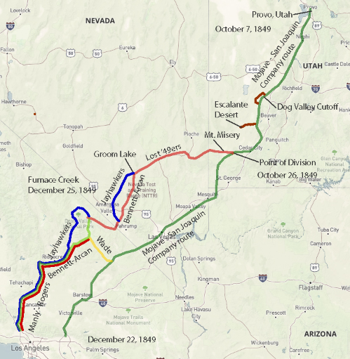
Jefferson Hunt’s Mojave San Joaquin Company, a wagon train made up of anxious gold seekers and settlers frustrated by a late start across the desert in late 1849 join with Captain Hunt to be guided across the Mojave Desert along the new southern route. Tensions rise with a wrong venture into the Escalante Desert and at a point east of Enterprise, and north of Mountain Meadows, Utah, anarchy ensues and the train breaks up into two factions; those who will become lost and those who will go on as planned. Of the 107 wagons in this once large party, only seven wagons remain.
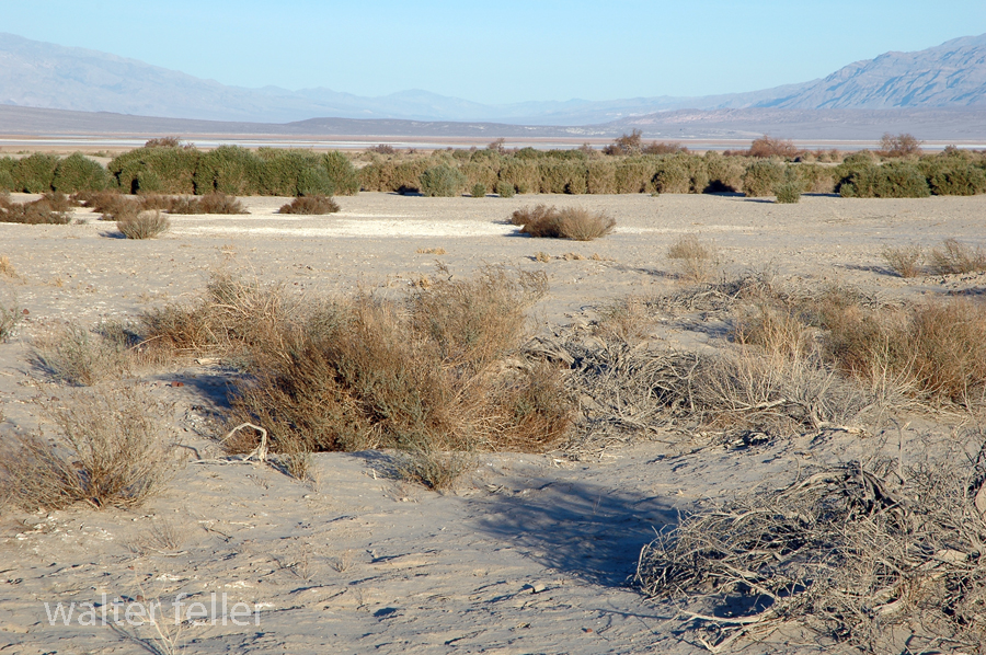
Furnace Creek, Death Valley National Park
On December 22, 1849, the ‘Mojave Sand-walking Company,’ as it became known, arrived in San Bernardino, California. At the same time the remaining ‘Lost ’49ers,’ about one-quarter of those who broke away originally, were entering the desolate Death Valley and would be celebrating Christmas Day near what we know as Furnace Creek.

Afton Canyon
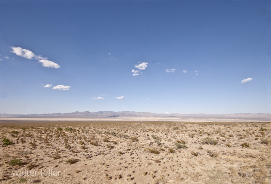
Ivanpah Dry Lake
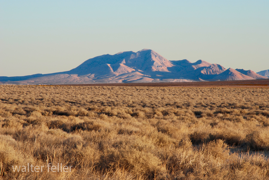
Red Mountain
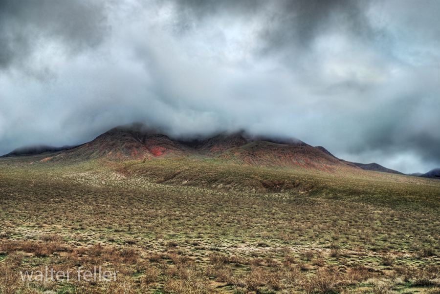
Red Mountain
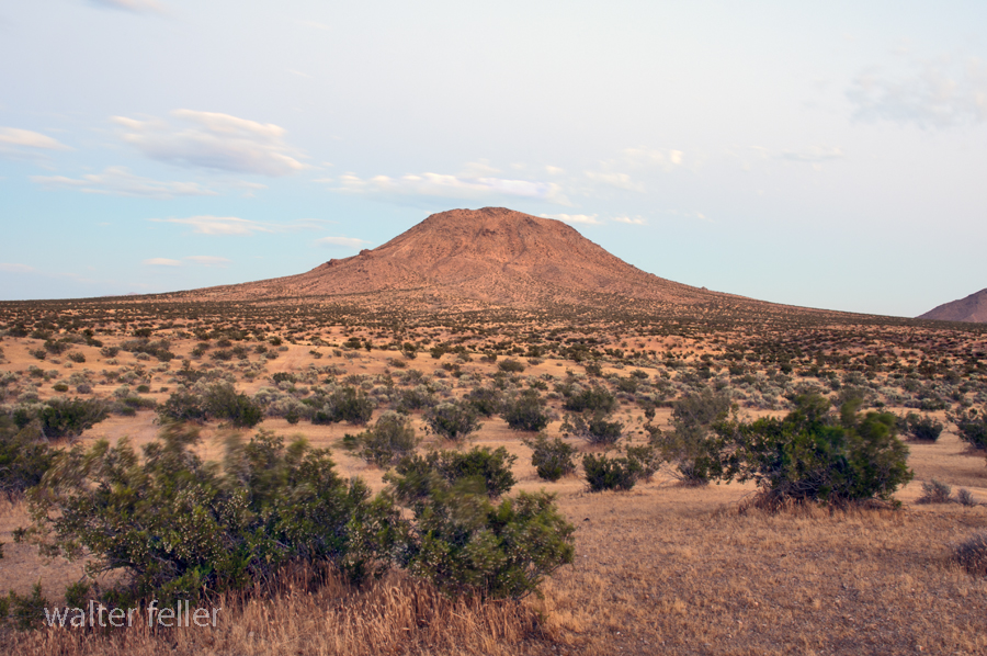
Bell Mountain, Apple Valley, Ca.

Digital-Desert.com/MojaveDesert.Net — Corporate Campus
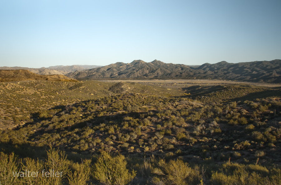
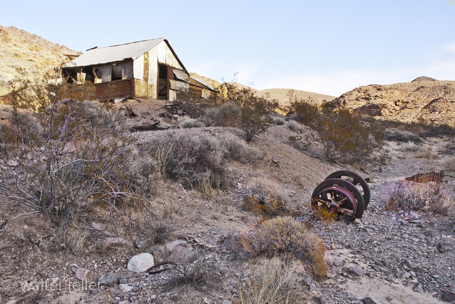
Inyo Mine, Echo Canyon, Death Valley
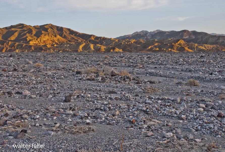
Furnace Creek Wash, Death Valley
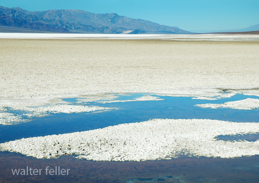
We all need a place to watch the world spin . . .
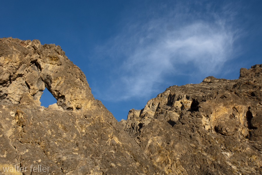
Needles Eye, Echo Canyon, Death Valley
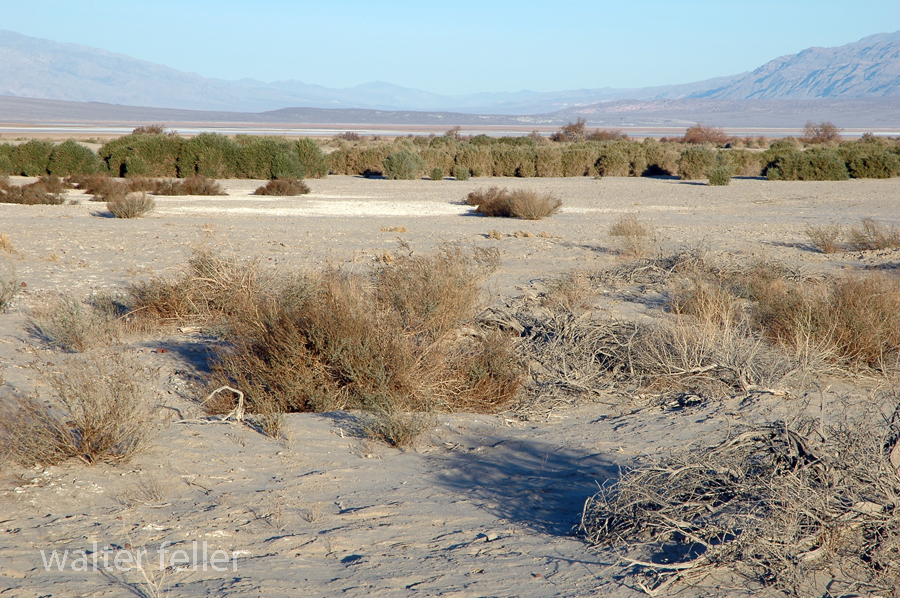
Furnace Creek, Death Valley National Park
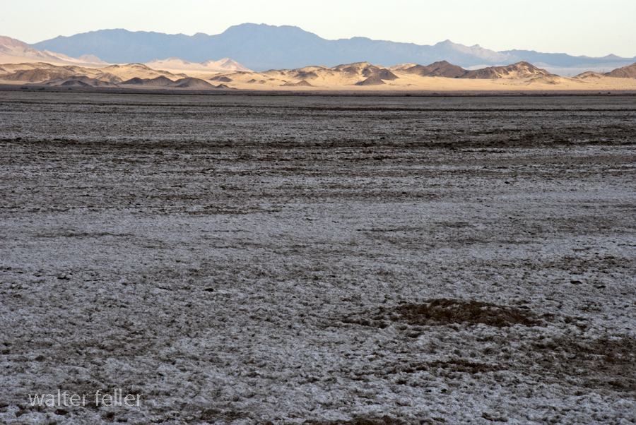
Devil’s Playground, Soda Lake, Mojave National Preserve

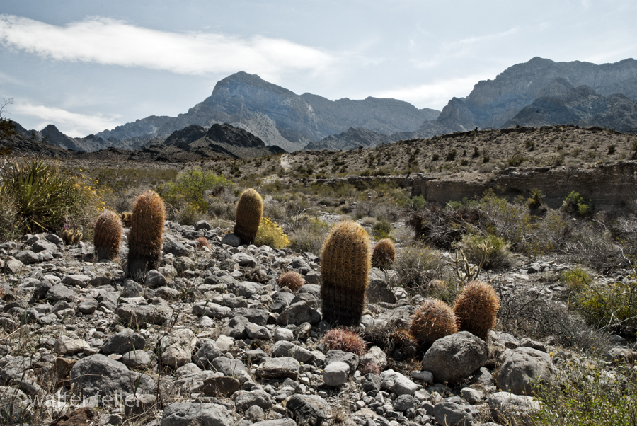
Providence Mountains, Mojave National Preserve
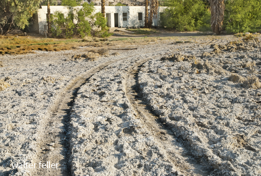
Sunrise Bungalow, Mojave Preserve
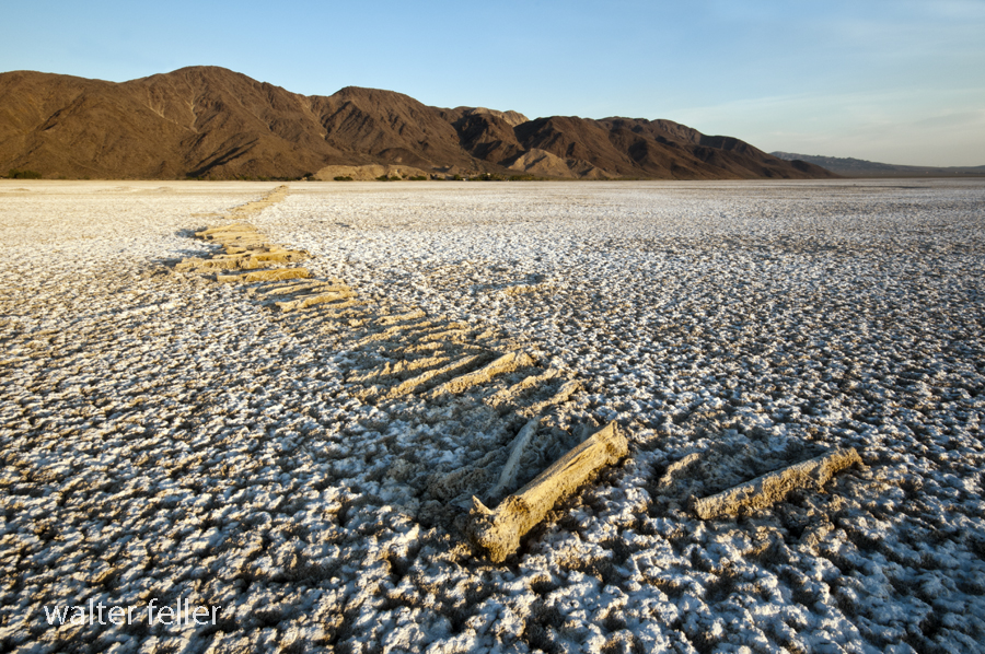
Soda Lake, Pacific Coast Soda Company
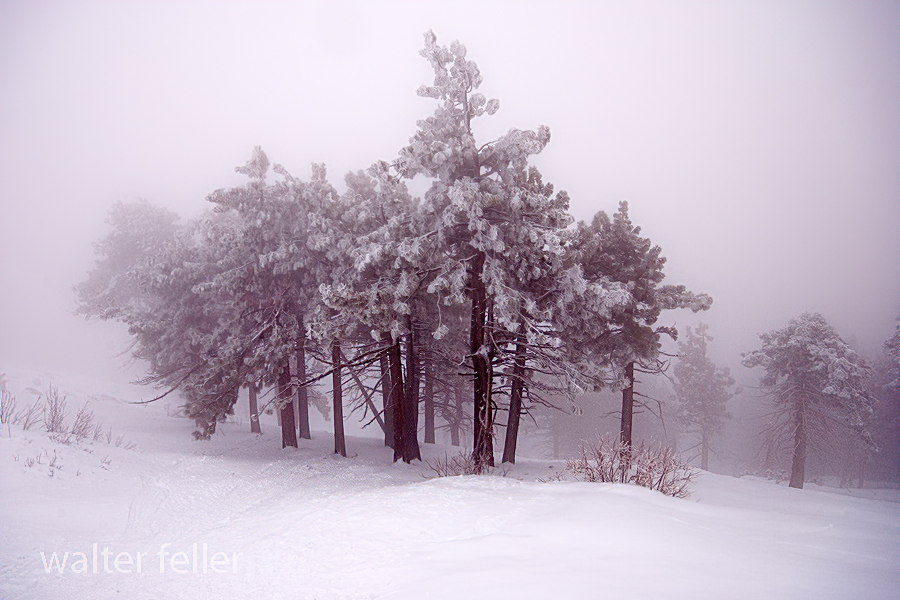
Winterkind, Inspiration Point, San Gabriel National Monument

San Bernardino National Forest – 2/2010

Marl Spring, Mojave National Preserve

Last Chance Spring – 2010
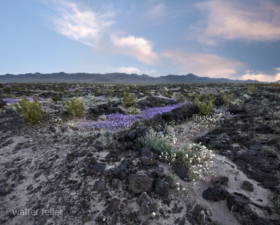
Lava Field, Amboy Crater – 2008
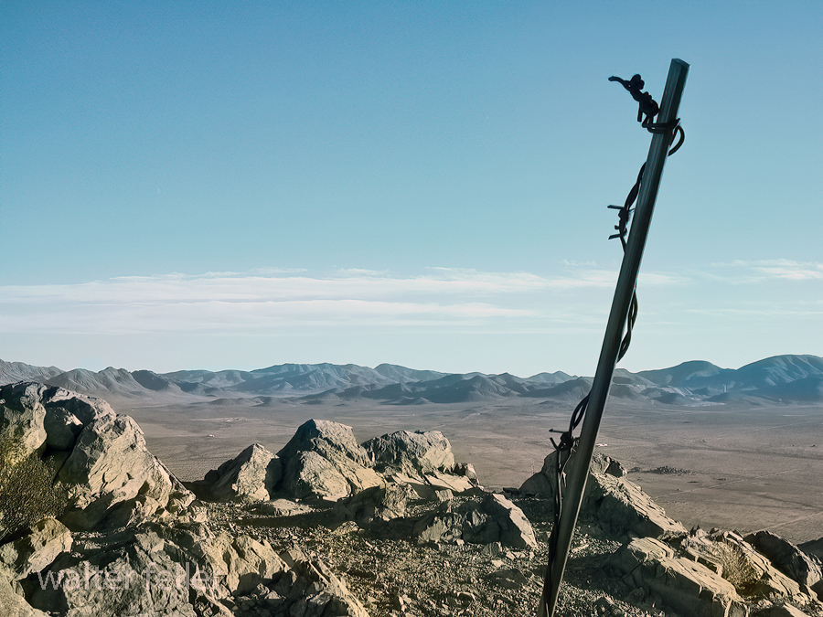
Bell Mountain Summit, Apple Valley, Ca. – 1/2004
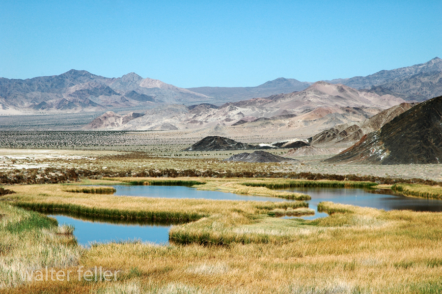
Saratoga Springs, Death Valley National Park
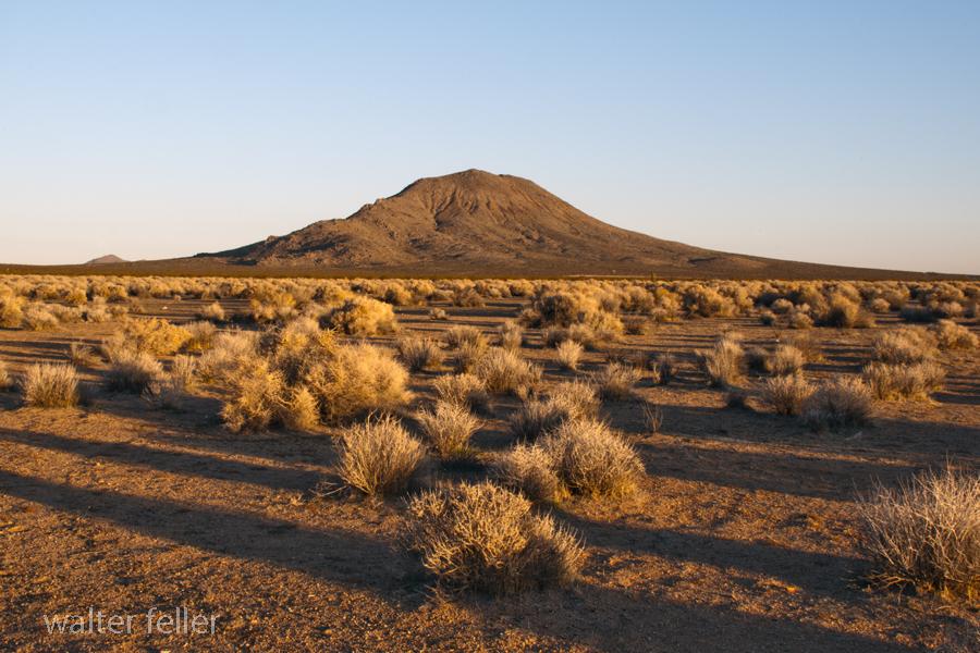
Bell Mountain, Apple Valley, Victor Valley, Ca. – 2011
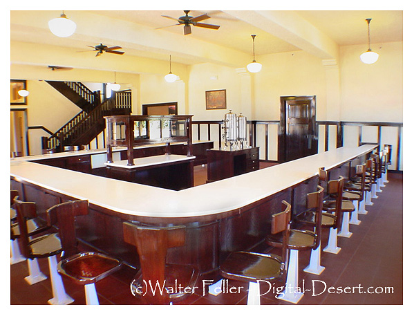
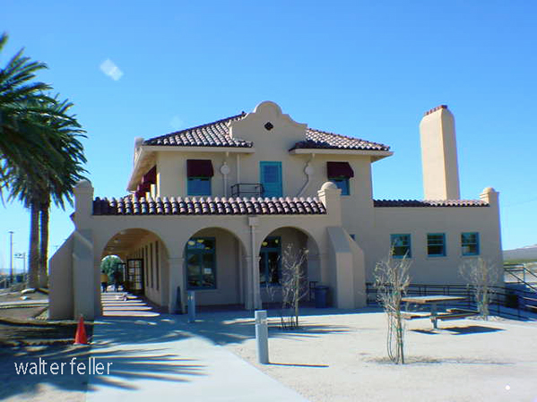
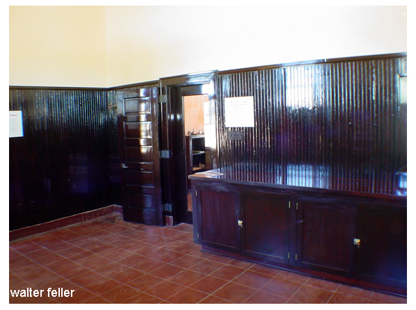
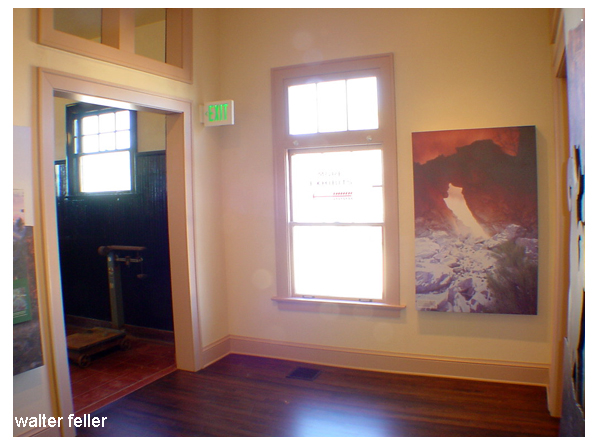
Kelso Depot – Mojave National Preserve – 2006




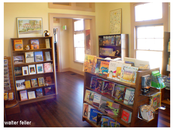

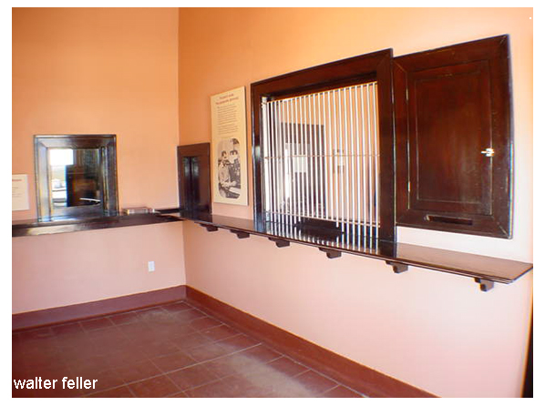
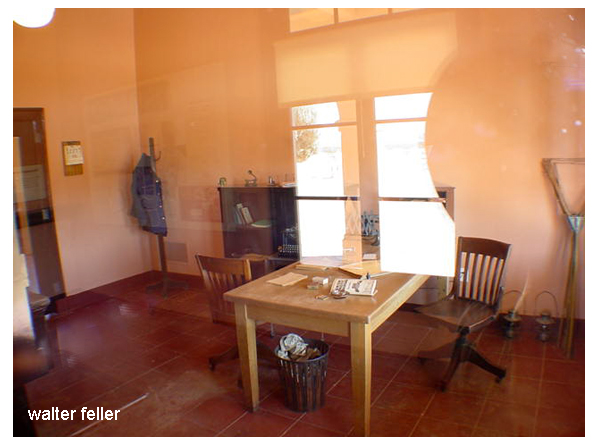
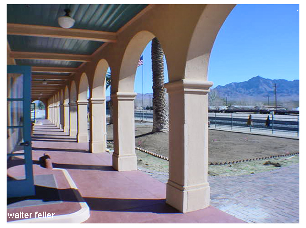
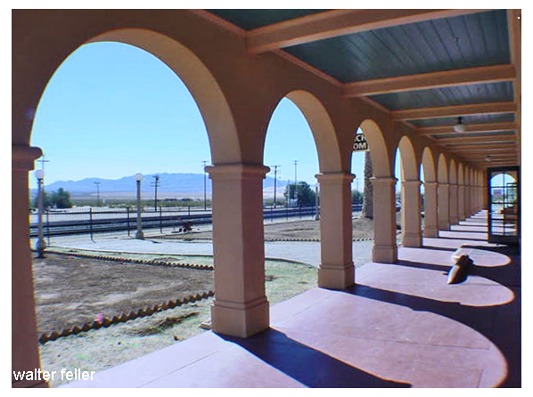

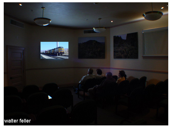

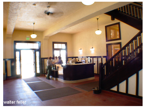
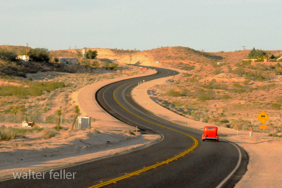
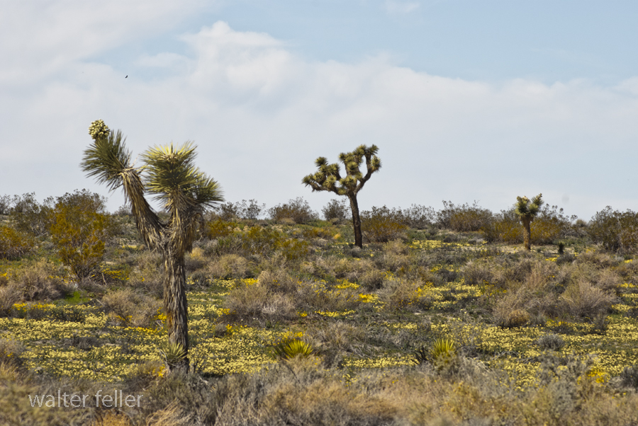
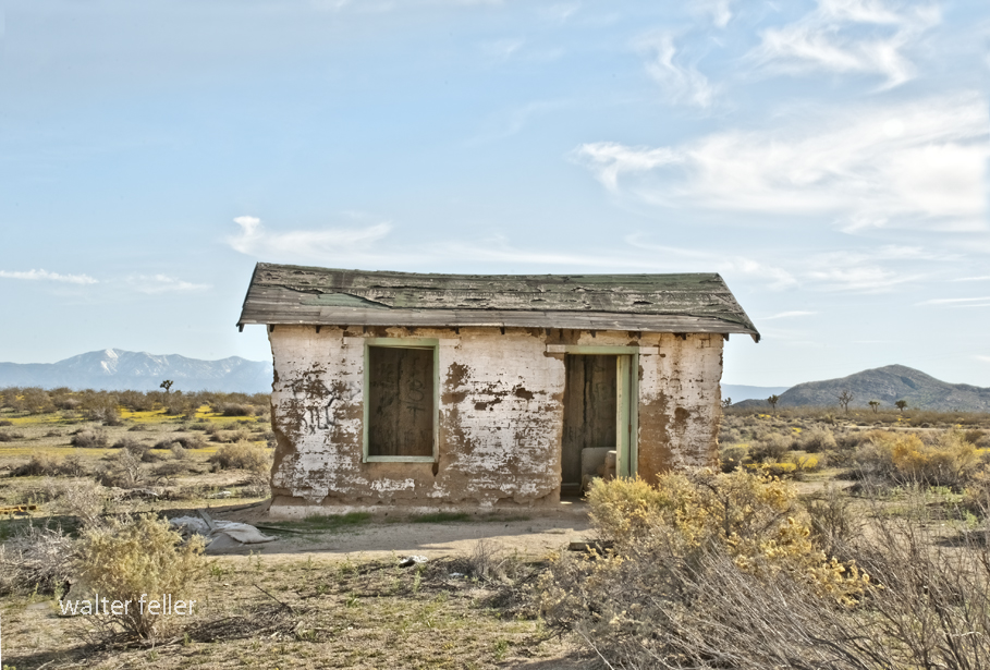
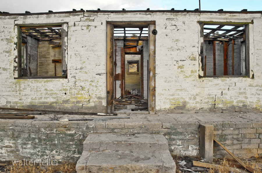
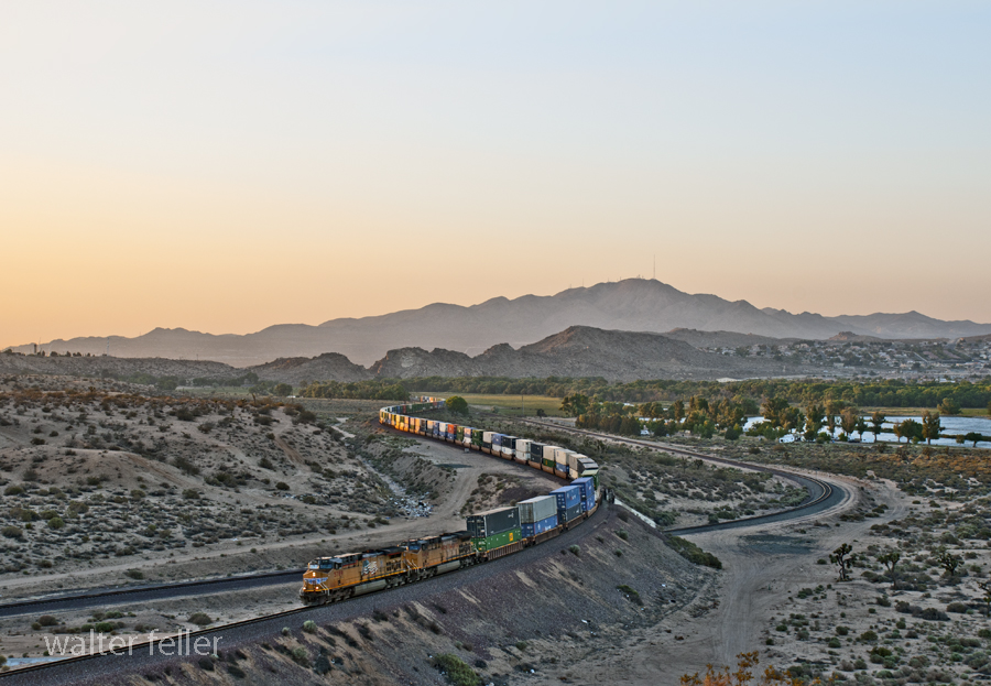
White House, Apple Valley, Ca.
May 22, 2014
Flyover, Victorville, Ca.
May 31, 2014
Rock Springs Road, Apple Valley, Ca.
June 2, 2014
LIST OF ILLUSTRATIONS –
Mojave Administrative History; NPS – Eric Nystrom
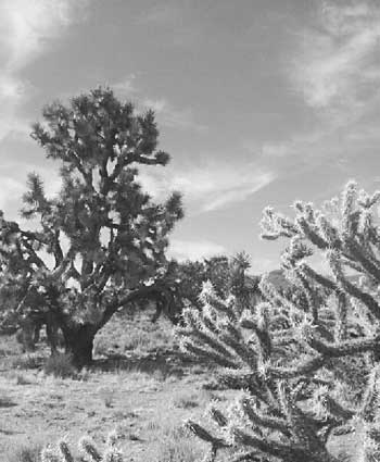
Illustration 1 – Joshua tree and buckhorn cholla

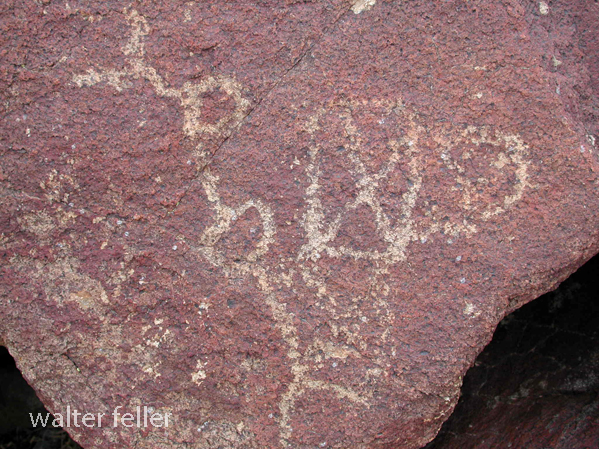
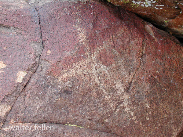
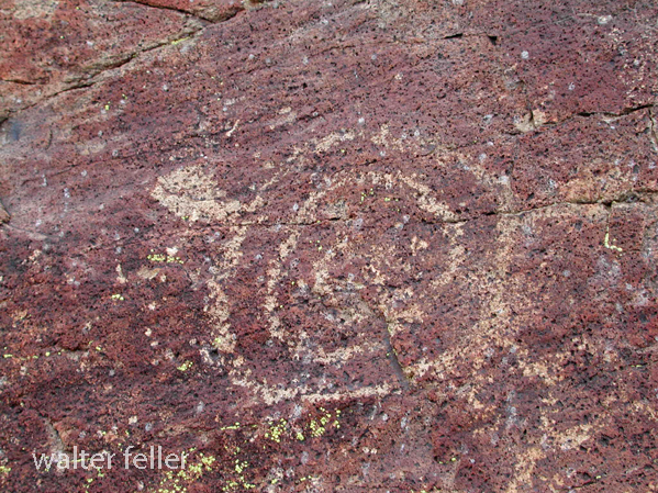
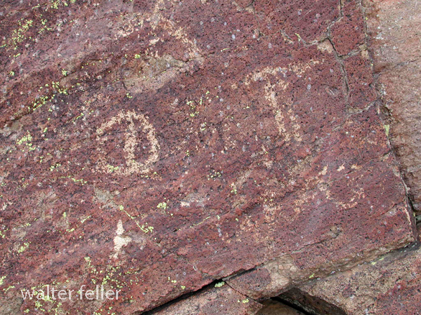
Illustration 2 – Prehistoric petroglyphs at Indian Well
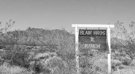
Illustration 3 – The 7IL Ranch
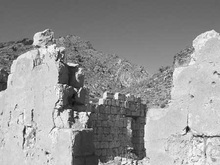
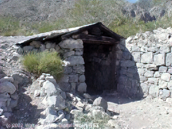
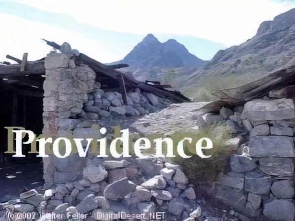
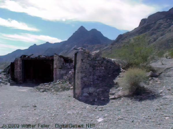
Illustration 4 – Stone walls of 1880s-era Providence
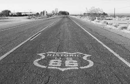
Illustration 5 – U.S. Highway 66, Essex, California
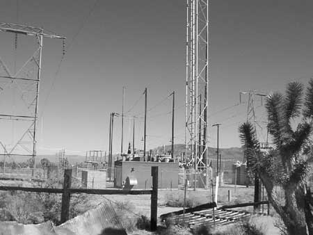
Illustration 6 – High-tension power wires and associated infrastructure
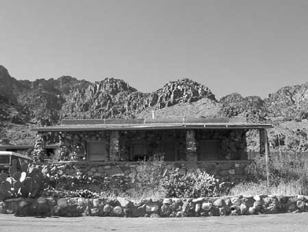
Illustration 7 – Visitor’s center for Providence Mountains State Recreation Area
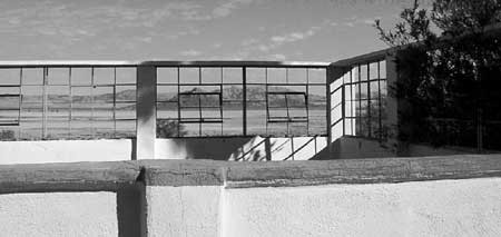
Illustration 8 – Zzyzx

Illustration 9 – Four-wheel drive vehicles traveling the Mojave Road
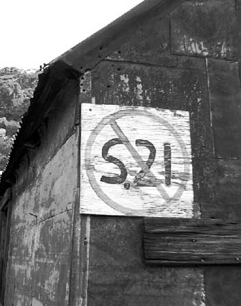
Illustration 10 – Painted sign opposing S.21
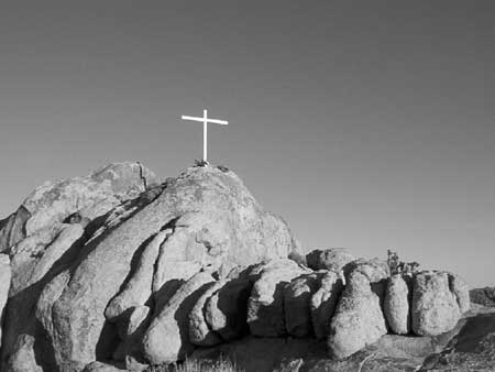
Illustration 11 – Cross on Sunrise Rock
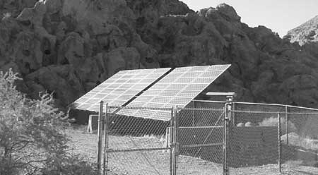
Illustration 12 – Solar panels at Hole-in-the-Wall
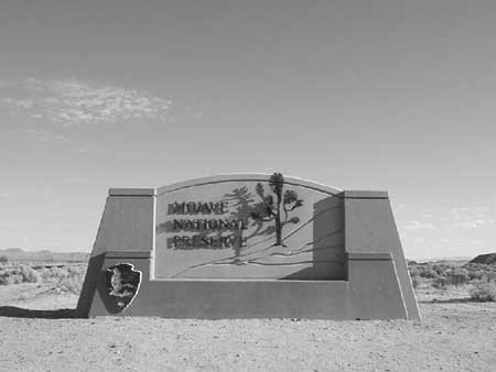
Illustration 13 – Mojave National Preserve entrance monument
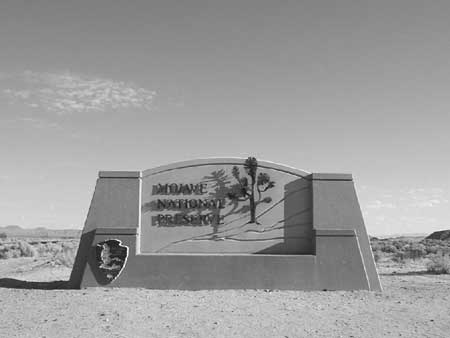
Illustration 14 – Official logo of Mojave National Preserve

Illustration 15 – Buildings at the New Trail Mine

Illustration 16 – Graffiti on Kelbaker Road
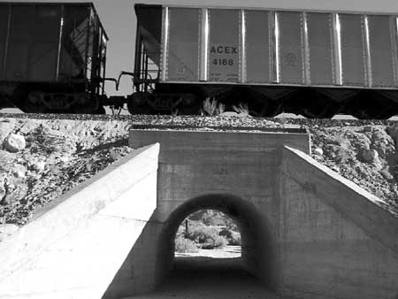
Illustration 17 – The Union Pacific Railroad
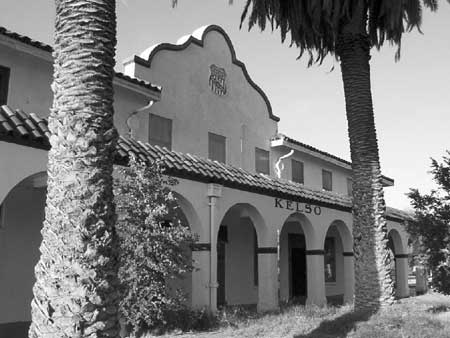
Illustration 18 – Kelso Depot
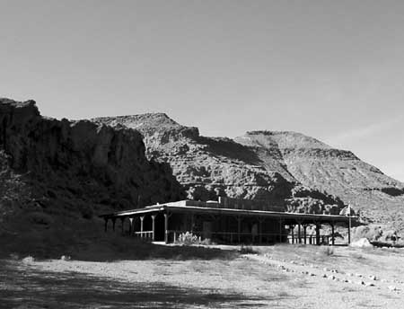
Illustration 19 – NPS visitors’ center at Hole-in-the-Wall
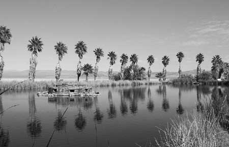
Illustration 20 – Lake Tuendae at Zzyzx
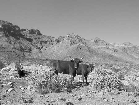
Illustration 21 – Desert cattle
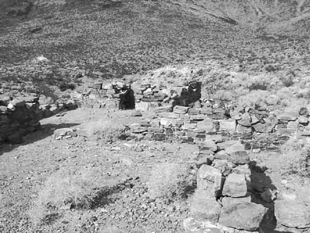
Illustration 22 – Rock walls of the military outpost at Piute Creek
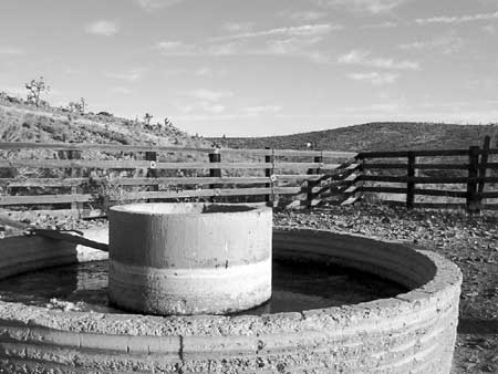
Illustration 23 – The Rock Springs Land & Cattle Company trough and corral
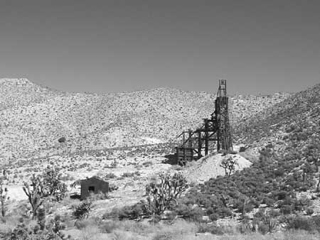
Illustration 24 – Headframe of the Evening Star Mine
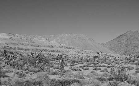
Illustration 25 – Morning Star Mine
—
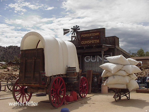
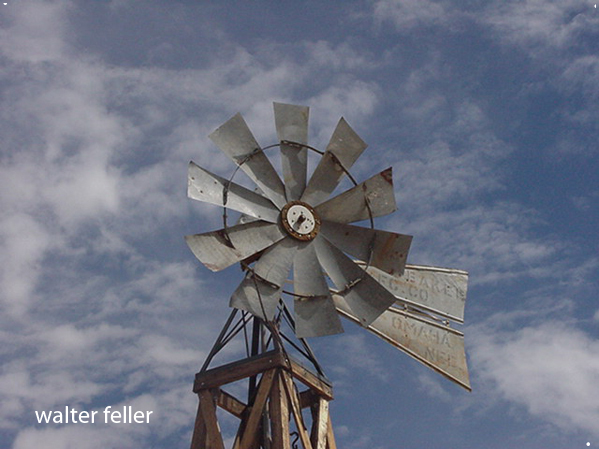
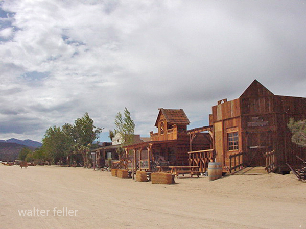
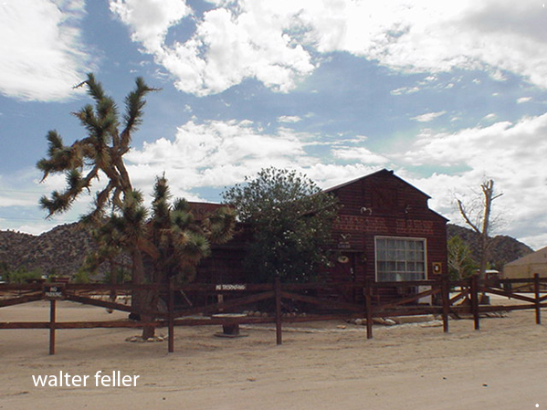
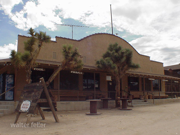
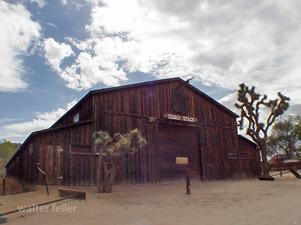
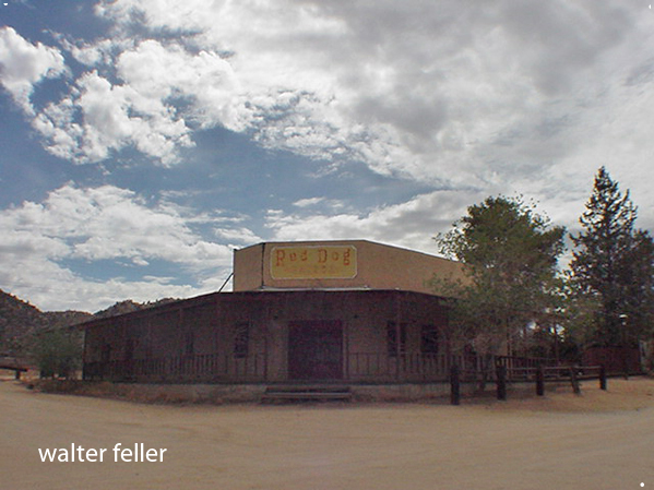
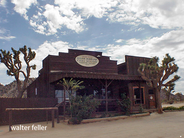
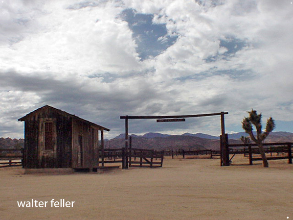
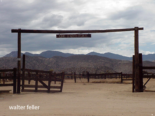
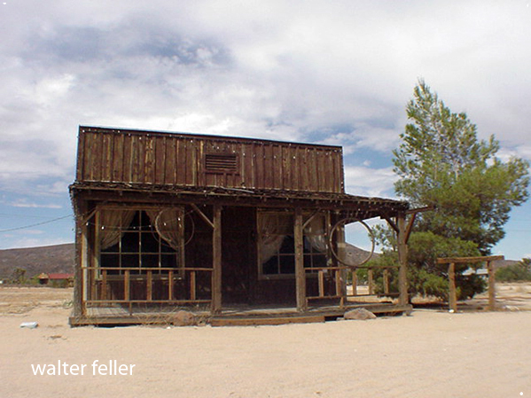
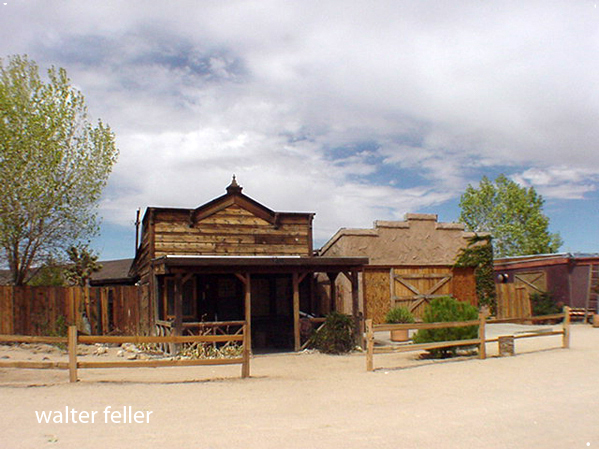
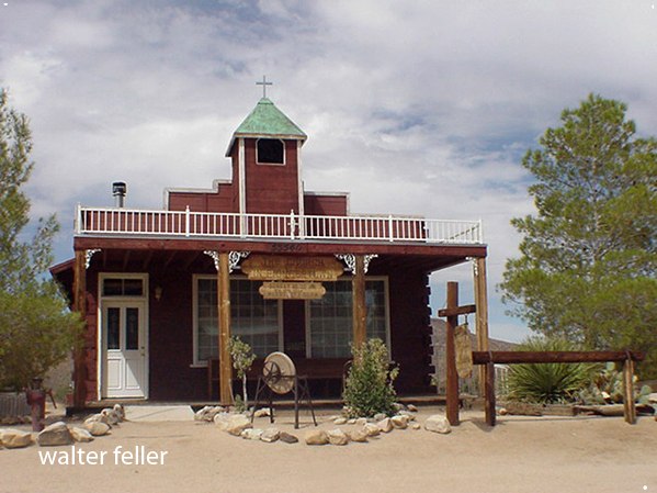
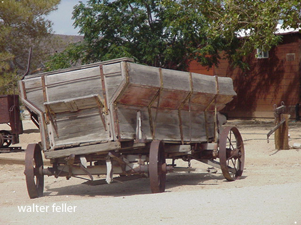
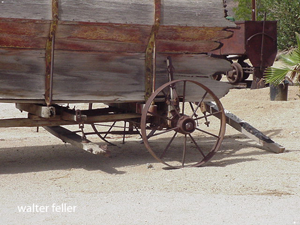
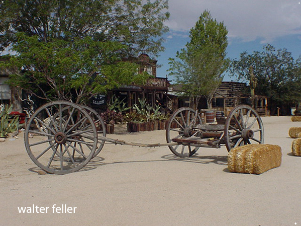
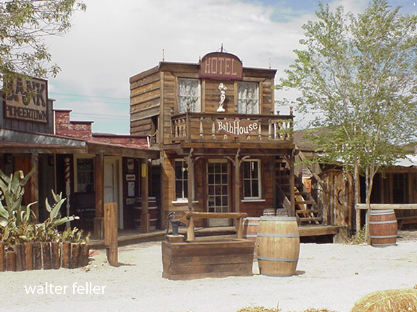
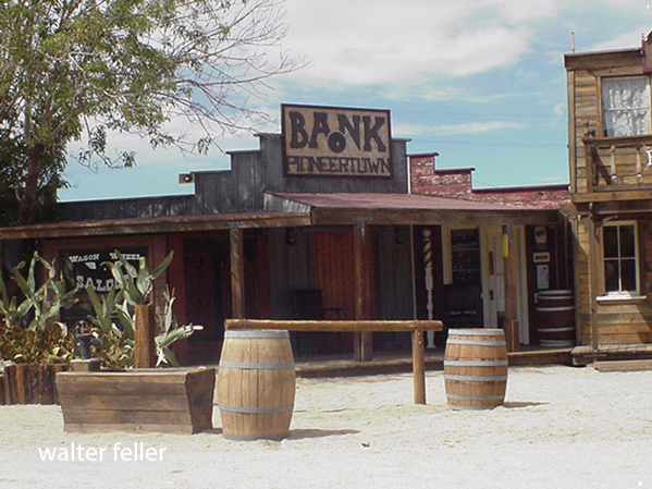
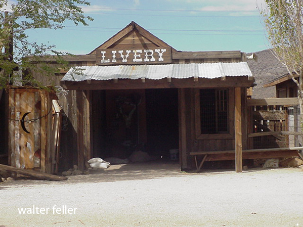
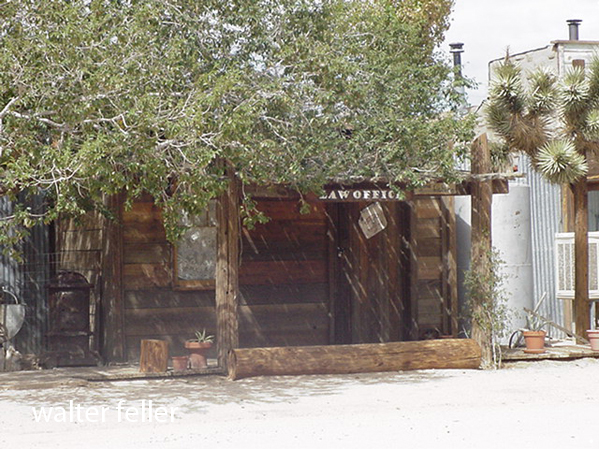
Pioneertown, Ca. –
The town started as a live-in Old West motion picture set, built in the 1940s.




Emerging Efforts to Define the Coso Obsidian Economic Exchange System in the Rose, Fremont and Antelope Valleys of the Western Mojave Desert, California
By Mark R. Faull, California State Parks (Ret.)
Proceedings of the Society for California Archaeology, Volume 19, 2006, pp 159-167
Archaeological investigations in and about Red Rock Canyon State Park in Kern County’s El Paso Mountains have unveiled a series of lithic procurement sites, the nature of which is primarily designed to support other off-site prehistoric communities. The rise and fall of these support sites coincide with the peak production of Coso obsidian. The nearest contemporary community for postulated interaction would likely represent the Koehn Lake village complex (CA-KER-875). A reexamination of the Sutton model developed for Koehn Lake, along with other sites in the region, leads to a new interpretation of local complexity, connectivity, and interdependence potentially aligned with the Coso economic system, whereby major villages potentially served in an interlinked fashion to facilitate the widespread dispersal of the valuable Coso volcanic glass.
The ambitious goal of this inquiry is to initiate the concept of the interconnectedness of site function within a portion of the western Mojave Desert when viewing a series of regional prehistoric sites that are contemporaneous to the peak period of Coso obsidian quarrying and distribution. The ensuing discussion of the Coso Obsidian Economic Exchange System rests mostly upon a reexamination of the works conducted by others, whereby I hope to stimulate new perspectives of thought and approach.
For purposes of definition, references to the Coso Obsidian Economic Exchange System are equivalent to the “Coso Hot Springs Exchange System” of Ericson (1981:119-122) and Hughes and True (1985:326, 334), as well as the “Sugarloaf production and exchange system” of Allen (1986:10). In addition, Allen (1986:1) referred to the Coso trade as an “egalitarian economic system.” Discussing more general California obsidian trade, Bouey and Basgall (1984:135) referred to “areas of economic articulation.” Such areas provide cultural connections and ties that are worthy of investigation.
The examination of the possible cooperation of communities holds certain potentials for elucidating the interlinked, complex relationships and possible interdependent functions of a suite of archaeological complexes, which in this instance stretched from the southeastern Sierra through the Antelope Valley in California’s western Mojave Desert. Such research also holds promise for identifying era- specific archaeological complexes within a regional framework or perspective.
The ensuing discussion focuses primarily upon the Late Gypsum/ Newberry through the Rose Spring/Haiwee periods of peak Coso obsidian production and distribution, which potentially interconnect the Rose, China Lake, Fremont, and Antelope valleys of the western Mojave. Per the work of Gilreath and Hildebrandt (1997) and many others, this period of pronounced economic and cultural florescence has been shown to have met its demise with the close of the Rose Spring/Haiwee period, perhaps associated in some fashion with the series of progressive droughts now referred to as the Medieval Climatic Anomaly (see Stine 1994 and others).
THE EL PASO MOUNTAIN QUARRIES AND THE KOEHN LAKE SITE
For 20 years, my place of employment within this region was Red Rock Canyon State Park, a landscape that beckons travelers to pause from their journeys amidst spires and cathedrals of stone. These canyonlands never fail to astonish — yielding unending discoveries in the realms of the biotic, the paleontological, and the archaeological. Pursuant to a large expansion of the park in 1994, State Park staff began documenting extensive prehistoric chert and chalcedony quarries (Faull 2000; Faull and Sampson 2004; Sampson 2003).
These extensive quarries and secondary reduction sites display temporal affinity with the rise and fall of the Coso obsidian quarries and economic system (Faull and Sampson 2004). These sites were purely supportive of other off-site communities or activities, and were not self-sufficient. Thus it became apparent that the quarries were connected within a larger regional cultural system. But who quarried the stone, and where was its destination? The closest contemporaneous community would be the primarily Rose Spring-era village complex at nearby Koehn Dry Lake to the south.
The Koehn Lake village (KER-875) was excavated by Dr. Mark Sutton and has become one of the premier cornerstones of Dr. Sutton’s proposed western Mojave Desert model (Sutton 1986, 1988a, 1990, 1991, 1996; Sutton and Everson 1992; Sutton and Hansen 1986). Thanks are due to Dr. Sutton for his effort to refine Mojave Desert archaeology by proposing testable models of the prehistoric past.
Sutton noted that the primarily Rose Spring-era Koehn Lake village site rests principally above a shoreline associated with ancient Koehn Dry Lake (Sutton 1986:8, 1988a, 1990, 1991, 1996; Sutton and Hansen 1986:3-7). The village abuts aeolian dunes once crested by a sizeable mesquite community (Sutton 1986:2, 7, 1990:3), now decimated by agricultural drawdown of the local water table (Pampeyan et al. 1988). During excavations, Sutton encountered a collapsed circular, semi-subterranean juniper structure, as well as frequent juniper remains (Sutton 1990:3, 1991:179; Sutton and Hansen 1986:2). In addition, Sutton later excavated a prehistoric juniper structure found at the Honda Test Track site (KER-2211) located 3 km west of the Koehn Lake village (Sutton 1990:5, 1991:139,180). As Sutton (1991:179) noted, the closest modern juniper communities lie 15 to 30 km distant in the southern Sierra Nevada.
The discovery of the ancient Koehn Lake shoreline combined with the juniper frequency on-site underscores Sutton’s postulated Western Mojave model, whereby he proposes a mesic regime sufficient to support a lake stand and to lower the juniper community to the shoreline of ancient Koehn Lake (Sutton 1991:179, 1996:238, 243; Sutton and Everson 1992:62; Sutton and Hansen 1986). Such a model bears certain attractive features, which help to explain the local cultural florescence of the late Gypsum through middle Rose Spring periods. In addition, Sutton proposes that the desiccation of the lake stand at 1000 B.P. led to the eventual abandonment of the Koehn Lake site (Sutton 1991:178181, 1996:232; Sutton and Everson 1992:62-63).
PROXY DATA AND KOEHN DRY LAKE
To date, no paleoenvironmental studies have been conducted upon Koehn Lake proper to confirm or deny the model. Therefore, proxy data must suffice for analysis. To the north, Searles Lake near Trona does bear evidence of a shallow, highly saline, fluctuating Holocene lake stand (Smith 1979:95, 96, 109). Two-thirds of the way up through a Holocene mud overburden, a radiocarbon date of 3520 B.P. has been documented (Stuiver and Smith 1979:69, 73). This lake stand appears associated with the known pluvials of roughly 4000 and 2000 B.P. (see Smith 1979:109, Figure 41). The upper deposits at present cannot yet be correlated to match the postulated Rose Spring era Koehn lake stand.
Farther to the north, Stine (1995:9) has concluded “that Owens Lake was exceptionally low, and perhaps non-existent during extended portions of the Haiwee [Rose Spring] time.” Stine (1995:4, 9) cites the work of McGuire (1994) who documented archaeological remains at INY-3541, which range in age from roughly A.D. 135 to 933 and reside on a moderately low beach line of Owens Lake. This beach line lies at 1,093.2 m, roughly 3.4 m below the historical high stand of Owens Lake (Stine 1995:9). The data from McGuire (1994), as well as from Stine (1995), do appear convincing that a lower-than-normal, rather than higher-than-normal, stand for Owens Lake existed during much of the late Gypsum and Rose Spring periods, contrasting with the postulated model for Koehn Dry Lake.
At present, the closest correlative pattern to that proposed for Koehn Lake appears to be distantly removed at Lower Pahranagat Lake northeast of Las Vegas, Nevada. At this location a pattern of summer- shifted rainfall apparently produced and maintained a shallow lake during the Rose Spring era, where previous to and following this period marsh habitat had predominated (Wigand and Rhode 2002:341).
More direct proxy data appear available to analyze the postulated down-slope shift of the juniper community into the vicinity of Koehn Lake. In nearby Red Rock Canyon four archaeological sites have now been excavated which bear in part strata of either Gypsum or more commonly Rose Spring era assemblages: KER-147 (Robinson 1981), KER-246 (Harvey and Gardner 2003), KER-250 (McGuire et al. 1982), and KER-5043 (Gardner 1998). Despite their presence up-slope and up- canyon from Koehn Lake, no juniper remains have been discovered at these sites. Gardner (1998:123, 139) specifically notes such an absence in her thesis, which investigated portions of the Sutton model.
Elsewhere, Peter Wigand (2003), working at the Airport Playa site to the north in the Coso Mountains, reports pursuant to both packrat midden and pollen studies a continuity of plant communities over the past 2,600 years. While ratios of plant species vary within the composition, the community members themselves remain constant (Wigand 2003). Rhode and Lancaster (1996:17-24), working south of Koehn Lake at Edwards Air Force Base, report an identical situation involving fluctuating species ratios but consistency of plant communities status over the last 5,600 years. To the east of Koehn Lake, research at Fort Irwin confirms an identical scenario of general plant community consistency during the later Holocene over the last 3,500 years (Basgall and Hall 1992:5; Koehler and Anderson 1993).
In the absence of proxy data supporting a dramatic down-slope shift in the juniper community, perhaps other scenarios might account for the presence of juniper at Koehn Lake; the most logical counter- conclusion being that invested energy transported juniper to the site. Why would a community invest such an effort to establish outposts at both Koehn Lake and at KER-2211, 3 km to the west? What other qualities about these sites would motivate such an effort? Expending such extreme energy speaks to some form of strategic importance for the location of these communities.
THE POTENTIAL COSO OBSIDIAN TRADE CORRIDOR(S)
Following Gilreath and Hildebrandt’s (1997) seminal work on the Coso Volcanic Field — and the earlier documentation of Coso obsidian distribution by other regional researchers (Ericson 1981; Ericson and Glascock 2004:780-781, 783, Figure 1; Ericson and Singer 1971; Ericson et al. 1989; Hughes and True 1985; Koerper et al. 1986; Meighan 1978), insufficient attention has been expended examining the logical inter- connective footprint of the Coso Economic Exchange System, which delivered high-quality obsidian to much of the southern California coast.
Numerous researchers have hinted at or suggested that a connective trade corridor, possibly involving Coso obsidian, functioned within the western Mojave through the Antelope Valley (Ericson and Meighan 1984:147; Koerper et al. 1986:57; Robinson 1977; Sutton 1980:221, 1981:124, 1988a:76-78, 1988b:25, 1989:109; Warren 1988:4647). Along these lines, Sutton (1989:101, 107-109) has discussed the Mojave Desert patterning of Coso obsidian in a post-A.D. 1000, Late Period or Protohistoric temporal context. The focus of this inquiry mostly predates that context.
Other possible Coso trade corridors might involve the southern San Joaquin Valley, although few targeted studies have yet occurred. This potential inter-connective economic corridor warrants further investigation in tandem with the Mojave Desert economic system.
Perhaps in a larger context the presence of the Koehn Lake village could be viewed as integral or sustaining to the economic system of Coso obsidian exchange through the western Mojave Desert. As such, let us briefly examine the regional pattern of village establishment within a potential Coso context.
THE ESTABLISHMENT OF DESERT VILLAGES
The earliest dated village within the Antelope Valley is that of Lovejoy Springs (LAN-192). At this site, a group inhumation dated at 2720 B.P. included a Coso obsidian Elko point and one youth draped in over 3,000 beads (Love 1992, 1996:106; Sutton 1988a:52; Toney 1968:810). Thus, the inception of village establishment within the Antelope Valley already displays connection between the coast, trade in beads, and Coso obsidian from the north.
Looking elsewhere in the Antelope Valley, a second significant village complex west of Rosamond (KER-303) has yielded an excavated residential structure (probably made of juniper) dated to 2370 B.P. and 2140 B.P., subtended by nearly 1 m of midden (Sutton 1988a:39-40, 62; Sutton and Robinson 1982). Elsewhere at the site, a radiocarbon date of 2200 B.P. was obtained from a charcoal sample at a depth of 2.5 m (Sutton 1988a:39). Coso obsidian is known from the site, and burials at the site, which currently lack sufficient temporal constraints, do display copious unanalyzed shell beads (Sutton 1988a:42, 43, 56).
Changing focus to the extreme northern vicinities of the potential Coso System, the village establishment at Rose Spring (INY-372) appears to be roughly marked by a youth inhumation from Locus 1, which can be roughly dated at between 2400 to 2500 B.P. (Lanning 1963:243, 268, 281; Yohe 1992:146). This youth inhumation possesses 1,000 Haliotis ring beads along with an obsidian Elko corner-notched point (Lanning 1963:243, 260-261, 263, 320). At Locus 3 the base of the rich occupational midden has been radiocarbon dated at 2240 B.P. (Yohe 1992:94). At Locus 1 a similar date of 2200 B.P. was recovered from the 152-163 cm level of Trench 1 (Yohe 1992:140, Table 5), near the base of the rich midden defining Lanning’s (1963:242) original Stratum 2.
Again, possible village establishment appears to coincide with connectivity to the coast in terms of exchange or trade in shell beads and ornaments. Are the occurrences noted coincidental, or could village establishment contain an element of connectivity to trade? Future targeted investigations appear warranted.
Could village placement be strategic to controlling the trade in Coso obsidian? Sutton has previously illustrated how trade might have linked certain early villages in the Antelope and Fremont valleys as potential “gateway communities” developed in response to trade, as per the Hirth (1978) model, while sometimes identifying obsidian as the trade product (Sutton 1981:124, 1988a:77-78, 1988b:24, 25). Many of these villages, located near reliable water, could easily serve as strategic trade partners for Coso obsidian exchange. These Antelope Valley villages remain well positioned to serve another potential intermediate link in Coso distribution near Castaic Lake, LAN-324, where obsidian lithic artifacts and bifaces were present (Ericson 1981:Appendix 2, personal communication 2004; Ericson and Glascock 2004:781; Ericson and Singer 1971).
Farther south, trade through the Cajon Pass remains less clearly defined. The strategic presence of the culturally distinct village of Oro Grande (SBR-72) above Cajon Pass (see Warren and Crabtree 1986:191), with its near-absence of obsidian and Rose Spring points in the latter Rose Spring era (Rector et al. 1983:35, 37, 47), would appear to discourage hypotheses involving Coso trade. However, the presence of shell beads at Oro Grande (Rector et al. 1983:68-87) bespeaks a coastal connection and the presence of modest quantities of Coso obsidian in Crowder Canyon, SBR-113, SBR-421, and SBR-713, near Cajon Pass (Basgall and True 1985:5.16-5.18, 7.10; Bouey 1985:J2; de Barros 1997:5-93; White 1973:Table 4) may complicate this scenario, unless Coso obsidian moved inland from the coast similar to the scenario suggested for San Diego County (Hughes and True 1985:333). In addition, minor amounts of Coso obsidian have also been documented for the early to mid Gypsum period Siphon Site (SBR-6580) in the Summit Valley 14 km east of Crowder Canyon (Sutton et al. 1993:53).
To the north, with additional Eastern Sierra sources of obsidian as potential competitors, one could view the early establishment of the Rose Spring village as strategically positioned or situated to assist with the control of access and trade through the southern Owens and Rose valleys. The later establishment of two large Rose Spring/Haiwee era villages north of the Rose Spring proper, at INY-3806/H on the western shore of Owens Lake at the confluence of Cottonwood Creek and at INY3812 in the north end of the Rose Valley (Delacorte 1994:5-6; Delacorte and McGuire 1993:178, 252), combined with the establishment of the Coso Junction Ranch village (INY-2284) southwest of the Rose Spring site (Allen 1986; Gumerman 1985; Whitley et al. 1988), could potentially further strengthen control over access through time. In addition, a third sizable Rose Spring period occupation at INY-1428, also located west of Owens Lake, adds even greater presence during this critical temporal period (Gilreath and Holanda 2000:121).
Returning to the Koehn Lake village, with a calibrated radiocarbon date suggesting establishment around 1700 B.P. (Sutton 1996:235, 238), perhaps part of this site’s invested energy involved the strategic value of further controlling trade and access from realms to the south.
INCREASING CULTURAL SPECIALIZATION
Lithic Specialization
The discussed florescence of Coso quarrying during the late Gypsum and Rose Spring periods can also be viewed as a period of increasing cultural specialization (cf. Ericson 1984). Shifting from a perspective of potential specialized village establishment, examination of specialized quarry sites can follow. Gilreath and Hildebrandt (1997:178-179) have documented the increasing specialization of quarry selection within the Coso Volcanic Field during the Gypsum/Newberry and Rose Spring/Haiwee periods (see also Whitley et al. 1988:5), as well as the use of secondary bifacial reduction sites (see also Allen 1986:35).
The cryptocrystalline quarries of Red Rock Canyon State Park display a similar evolved focus and association with secondary reduction loci (Faull and Sampson 2004). Add to this the Antelope Valley rhyolite quarries (Glennan 1970, 1971; Sutton 1982) and a greater regional picture of the quarry complex emerges.
Within the localized El Paso Mountain to Fremont Valley region 94 percent of the recovered Rose Spring projectile points are fashioned from Coso obsidian. This ratio of preferred material use tends to contrast sharply with other eras within the local assemblage. However, despite this observed preference for obsidian point production during the Rose Spring period, the Red Rock cryptocrystalline quarries expand in tandem with the Coso model, indicating a reduced but specialized spectrum of use for cryptocrystalline materials within the tool kit of the El Paso to Fremont Valley segment of the Coso Economic System. In- depth analyses of local sites, such as the Koehn Lake village to the south and the Freeman Spring site (KER-6106) to the north, may offer greater insights into this more restricted, specialized use of cryptocrystalline rock within the Rose Spring tool kit.
The introduction of the bow and arrow during the period of Coso obsidian florescence has generated much debate as to the impact of such technology on both large mammal populations and lithic technology trajectories (Allen 1986; Ericson 1982; Grant et al. 1968:58; Yohe 1992, 1998; Yohe and Sutton 2000). Focusing first upon lithic technology trajectories, secondary bifacial reduction of tradable obsidian and other overlapping products of the Coso trade system could account in part for the difficulty researchers have experienced in discerning the introduction of the bow and arrow within lithic artifact assemblages.
In addition, some Antelope Valley researchers assert that local lithic trajectories suggest that Rose Spring points may have been traded into the valley as completed products (Earle 2004:12; see also the lack of debitage in Sutton 1988a:76). On the margins of the Fremont Valley at KER-1998, Sutton and Everson (1992:57) note that obsidian appeared mostly as small-sized pressure flakes, suggesting that obsidian “was being brought to the site as artifacts in generally completed form.” Examining sites, such as Coso Junction Ranch and others, for the possible specialized production of tradable points might be another line of valuable inquiry (see the Phase B change in the ratio of biface thinning versus secondary reduction reported by Allen 1986:32-33, 37, 40; see also Gilreath and Hildebrandt 1997:168).
Intensified Food Specialization
Whether or not the introduction of the bow and arrow decimated large mammal populations within this region, the archaeological record for this segment of the western Mojave is unequivocal about the intensification of focused food resources. The Rose Spring/Haiwee era witnessed both an expansion of pinyon processing (Bettinger 1975, 1976, 1980, 1989; Garfinkel and Cook 1979, 1980) and an accelerated fetish with the consumption of lagomorphs and a series of small animals (Delacorte 1994:8-10; Yohe and Sutton 2000:5), particularly hares.
Lepus procurement sees the establishment of massive specialized collection and processing sites, such as those at Freeman Spring near Walker Pass (Williams 2004), and at the Bickel site in the El Paso Mountains, KER-250 (McGuire et al. 1982). Intensive Lepus processing is known from the village sites of Rose Spring, Koehn Lake, and KER2211 (Sutton 1990:5, 1991:180; Yohe 1994; Yohe and Goodman 1991; Yohe and Sutton 2000:3). Gumerman (1985:28) documented that rabbit processing intensified during the progression of the Rose Spring period at the Coso Junction Ranch site (see also Whitley et al. 1988:6, 8). Kranz (1963:288) stated for the Rose Spring site that it was “tempting to conclude that rabbit brains were eaten, including the relatively soft cranial bones.” Ethnographically, rabbit brains have been reported as a delicacy (Christenson 1990:368). However, it should be noted that at the Bickel site in the El Paso Mountains, Lepus heads and certain parts of the extremities were removed from lagomorphs before apparent transportation off-site to the place or point of actual consumption or use (Basgall 1982:137-138).
A suite of other small mammals and other animals were also widely to locally exploited by Rose Spring era populations (cf. Delacorte 1994 and others). Broadening the perspective, the Anasazi of the Southwest reportedly display a similar intensified utilization of small game, particularly lagomorphs and mice, before their profound decline, around the peak of the Medieval Climatic Anomaly (Diamond 2005:150). Perhaps a scenario somewhat similar to the Anasazi occurred in portions of the western Mojave — where initial success and population expansion possibly became increasingly difficult to support or sustain, in light of potential over-predation or increasing resource failure associated with progressing drought and aridity (cf. Ericson and Meighan 1984:150; Whitley et al. 1988:8; Yohe and Sutton 2000:1, 4).
A REGIONALIZED PERSPECTIVE
In conclusion, from north to south, village establishment within the discussed corridor of the western Mojave Desert appears to initiate with relative concurrence during the Gypsum period, with each site displaying connectivity to both coastal and Coso resources. Over time, a series of late Gypsum through Rose Spring period, potentially interdependent sites appear to arise, possibly aligned to support the fruition of the Coso Obsidian Economic Exchange System.
By approximately 1100 B.P., the Antelope Valley is well positioned to participate in the emergence of the new trade system with the Southwest, which transitions into the Late Prehistoric or Marana period (Davis 1961:4, Map 1; Heizer 1946:191; Sample 1950:4-5; Warren and Crabtree 1986:193). The Antelope Valley displays village continuity across the Medieval Climatic Anomaly and the terminal Rose Spring (Campbell 2004:8, personal communication 2005; David D. Earle, personal communication 2004; see also the data of Robinson 1977; Sutton 1988a), which marks the demise of the long-standing Coso Economic System farther to the north.
By contrast, the Fremont, China Lake, and Rose valleys to the north experience the dramatic cessation of major quarrying at Coso and the resultant disseminating trade system (Ericson and Meighan 1984:149; Gilreath and Hildebrandt 1997:iii, 179, 183; Hughes and True 1985:333, 334; Meighan 1978:160; Koerper et al. 1986:53). In tandem, the major quarrying and secondary reduction loci located within Red Rock Canyon State Park in the El Paso Mountains cease to function (Faull and Sampson 2004). Village abandonment occurs at a suite of sites, which includes the Koehn Lake village (Sutton 1990, 1991, 1996), the Coso Junction Ranch village (Allen 1986:2-3; Gumerman 1985; Sutton 1996:239; Whitley et al. 1988:5, 8; see also Yohe and Sutton 2000:3), the INY-1428 occupation site (Gilreath and Holanda 2000), the INY-3806/H village, and the INY-3812 village (Delacorte 1994; Delacorte and McGuire 1993). A significant decrease in activity is simultaneously recorded for the Rose Spring site (Lanning 1963; Whitley et al. 1988:5; Yohe 1992). Finally, the large, highly specialized rabbit procurement sites at Freeman Spring (Williams 2004) and at the Bickel site (McGuire et al. 1982) similarly demise.
In short, the system of villages and associated specialized sites, which apparently rise in concordance with the observed expansion of the Coso quarrying complex, appear to display a concurrence in their temporal cessation. In the absence of cooperative trade and possibly in light of prolonged, intensifying drought combined with local over- predation, the discussed desert-based villages of the northwest Mojave Desert appear to dissolve, never to be reassembled in the Fremont through Rose Valleys in any similar fashion.
CONCLUDING REMARKS
It is not asserted with certainty that the Coso Obsidian Economic Exchange System involved precisely all the elements contended herein. Rather, this working hypothesis and its associated observations are intended to elevate a new dialogue to incite inquisition into the possible interrelationship and function of sites stretching along a known western Mojave Desert trade corridor.
If significant interconnectedness existed in the form of a regionalized trade economy, “optimal foraging theories” and “resource intensification models” will not adequately define past realities unless they account for such specialized energies. Likewise, models that attempt to define the change in lithic technologies or trajectories will likely suffer similar frustrations unless the overlapping complexities of regional trade production are factored into the analysis. I hope that this dialogue will prove productive towards a new linkage of regional prehistoric archaeology in the western Mojave Desert of California.
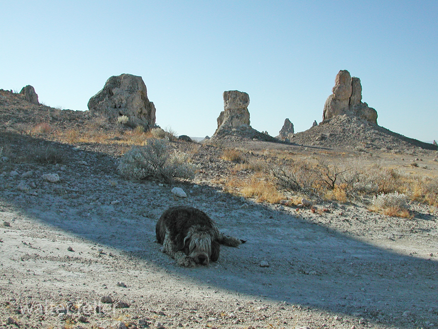
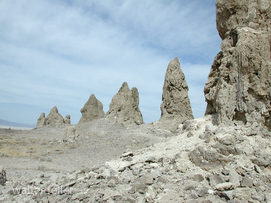
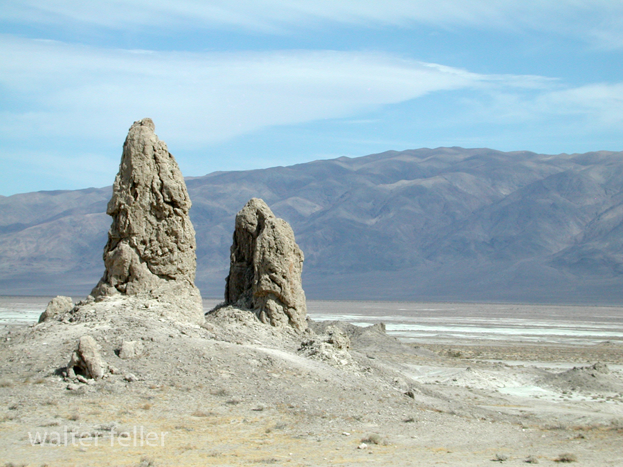
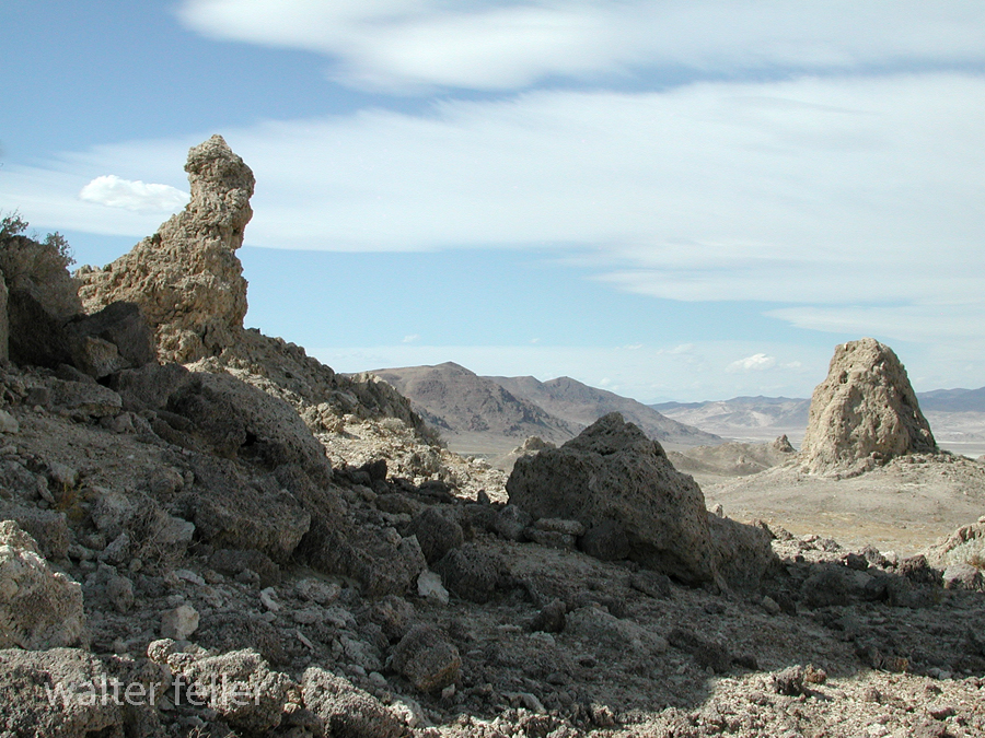
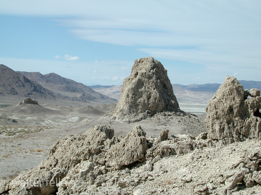
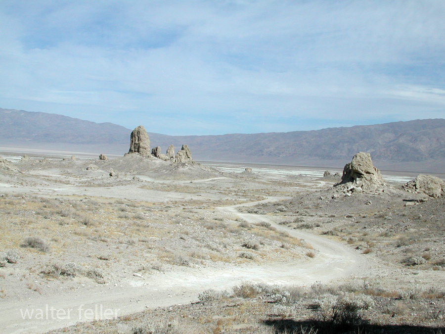
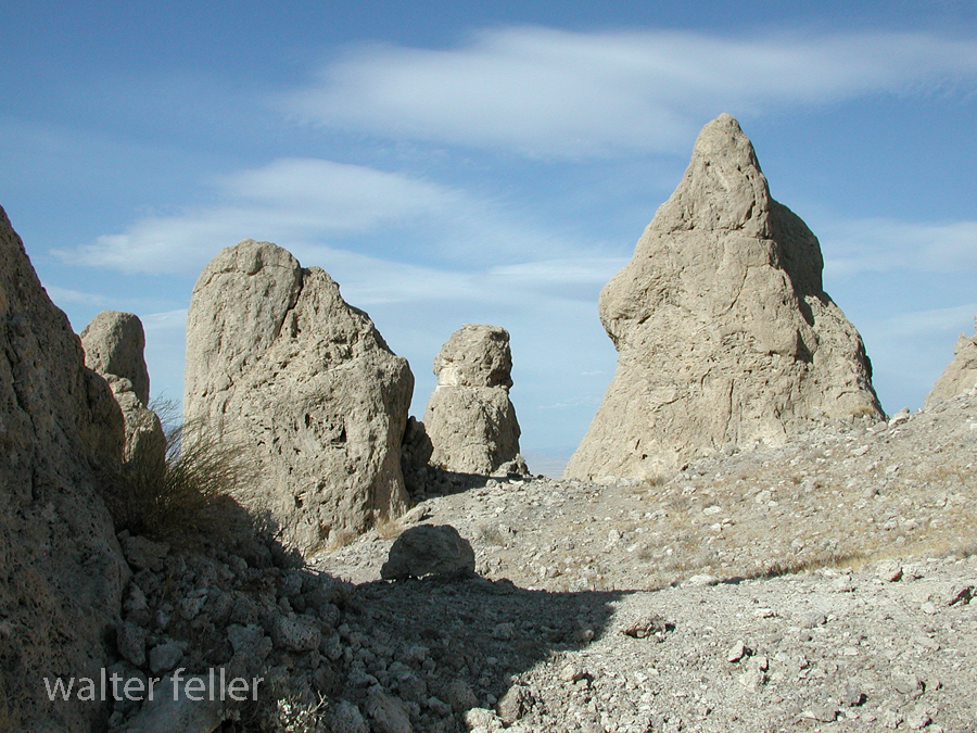
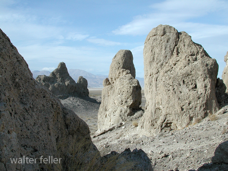
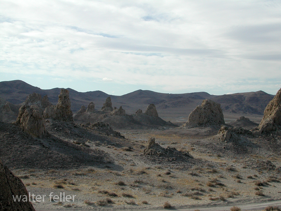
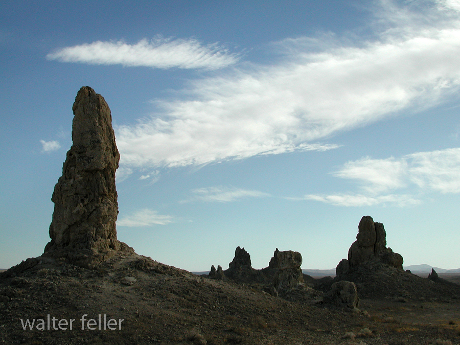
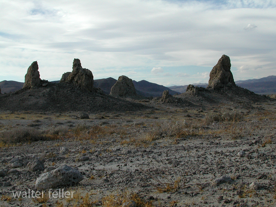
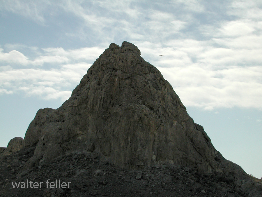
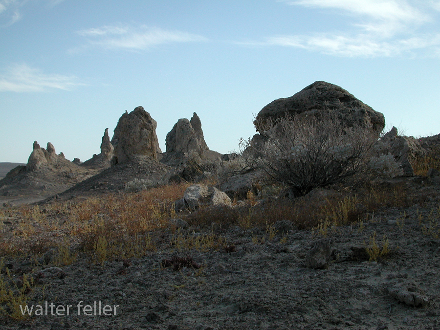
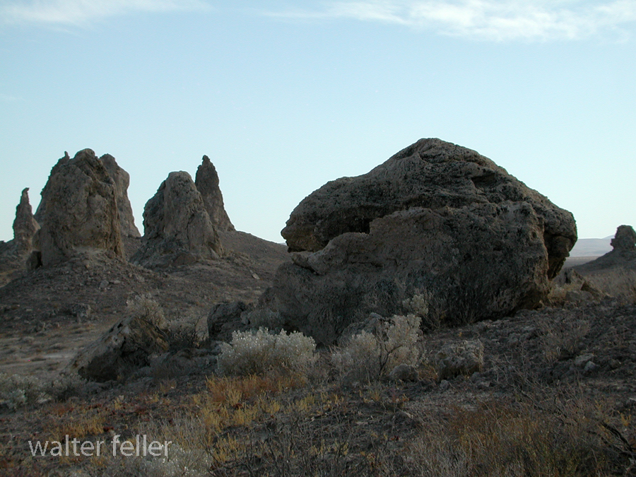
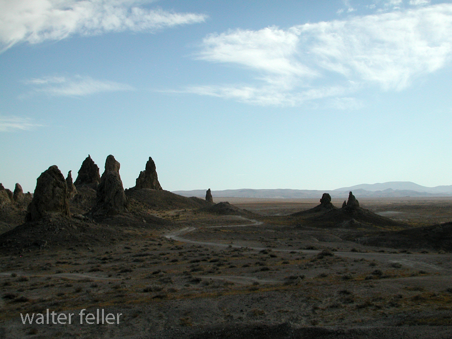
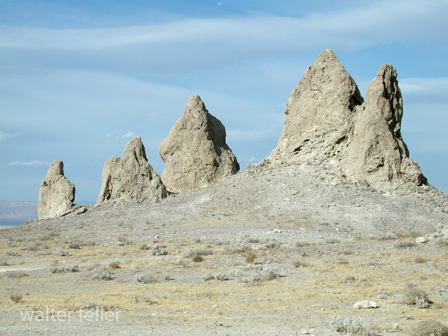
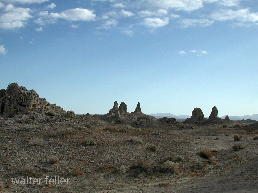
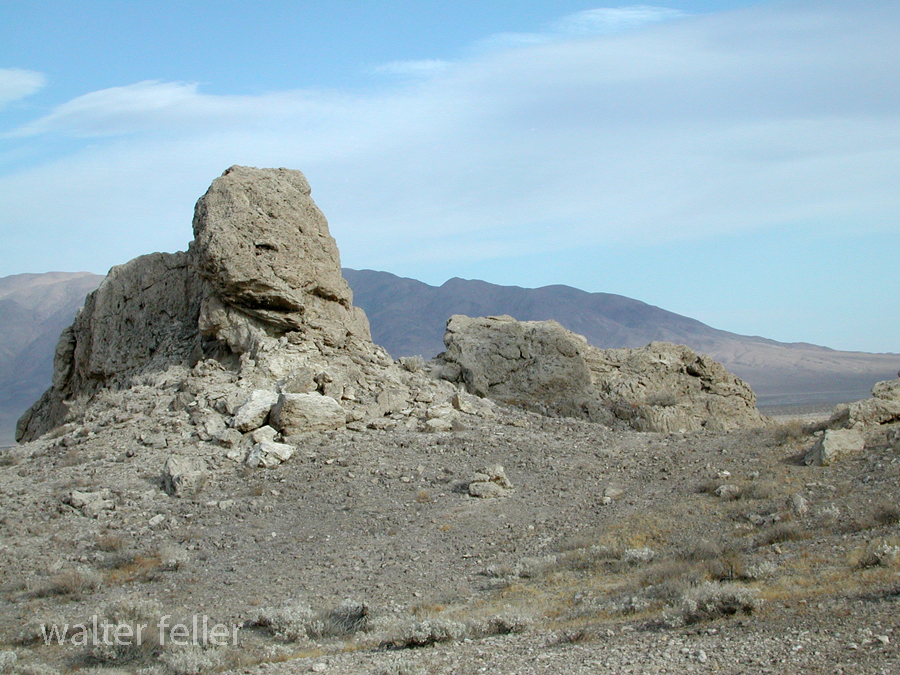
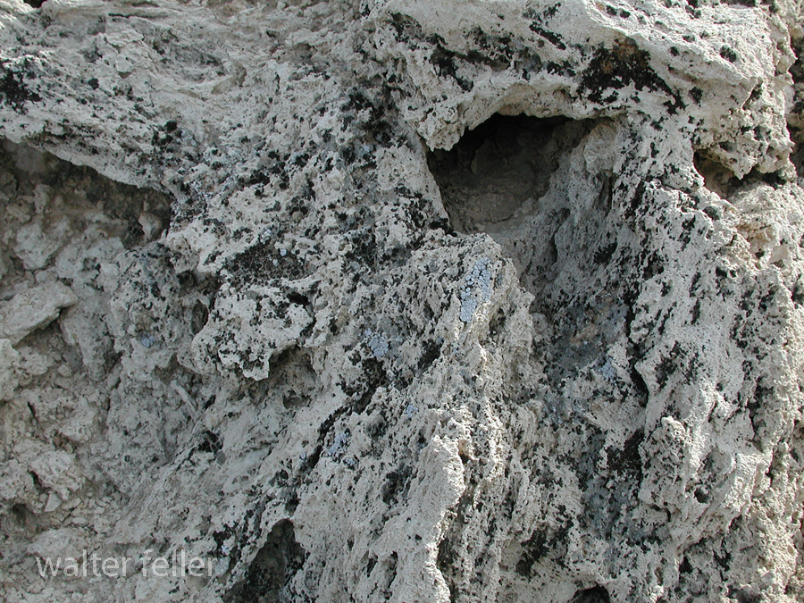
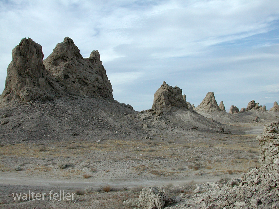
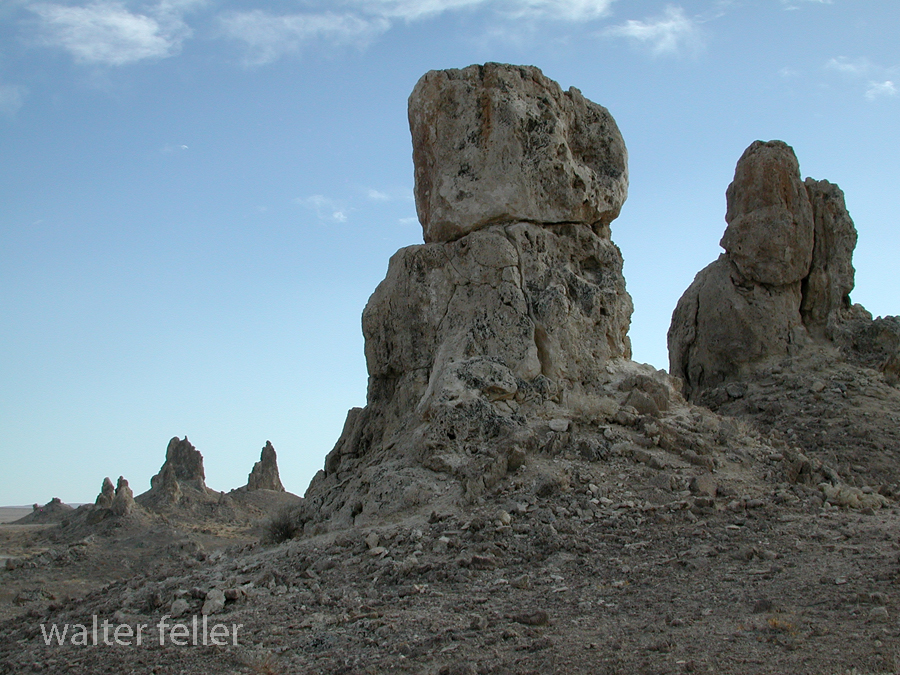
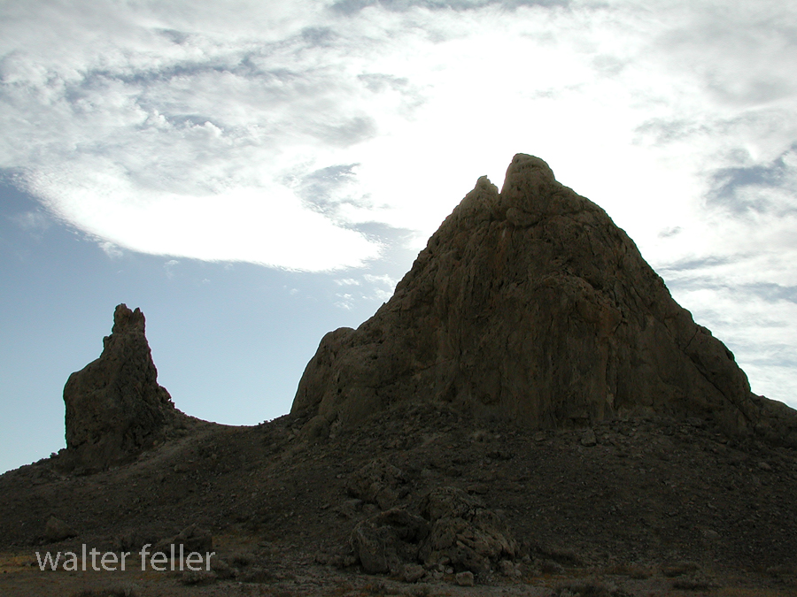
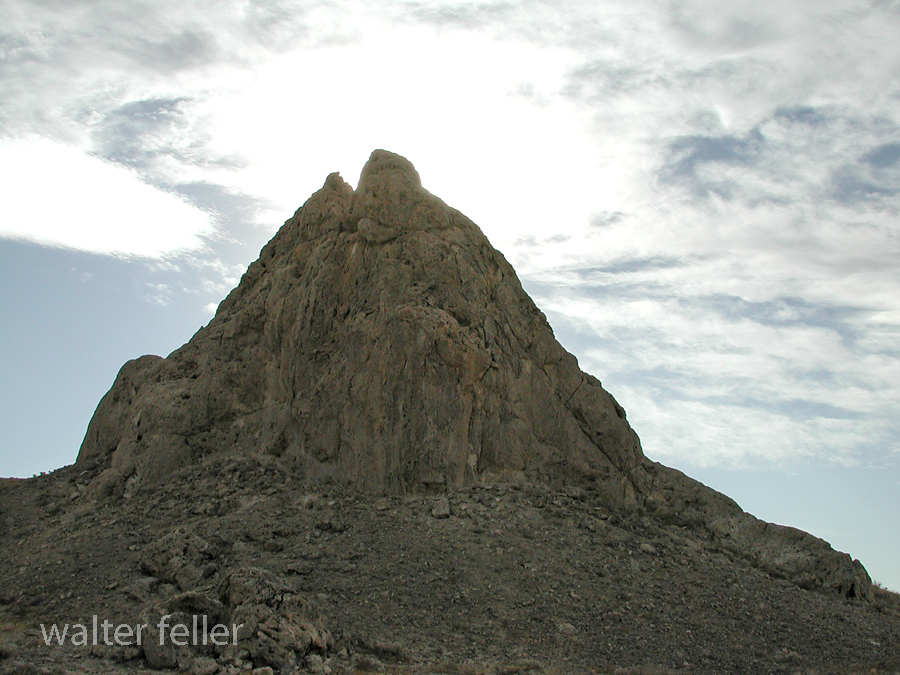
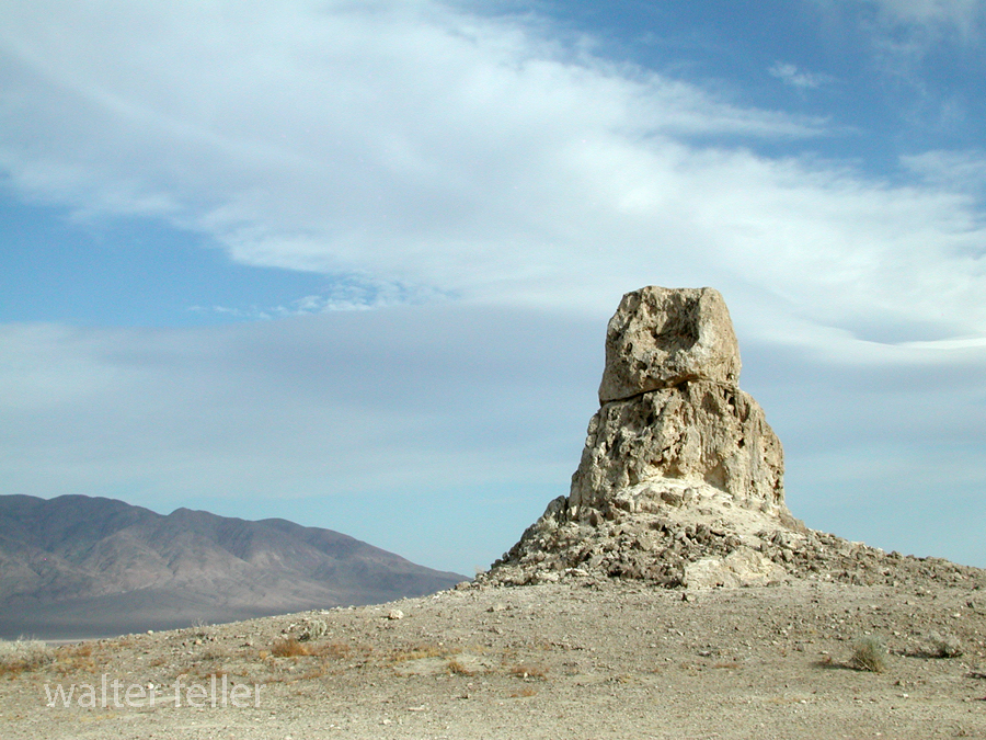
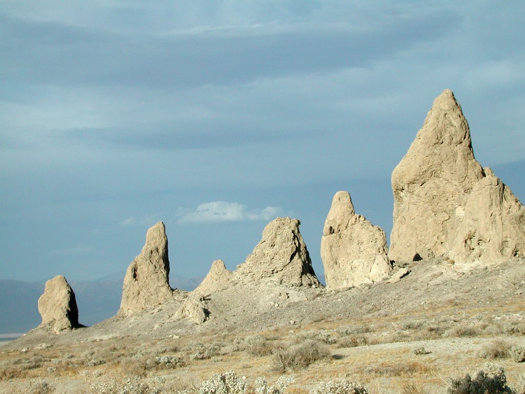
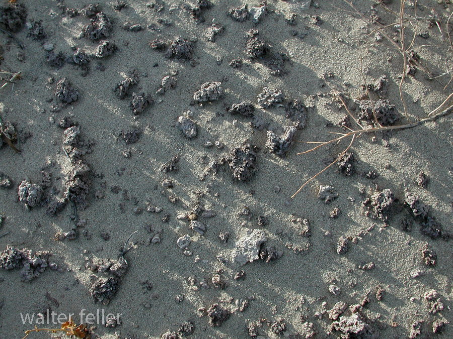
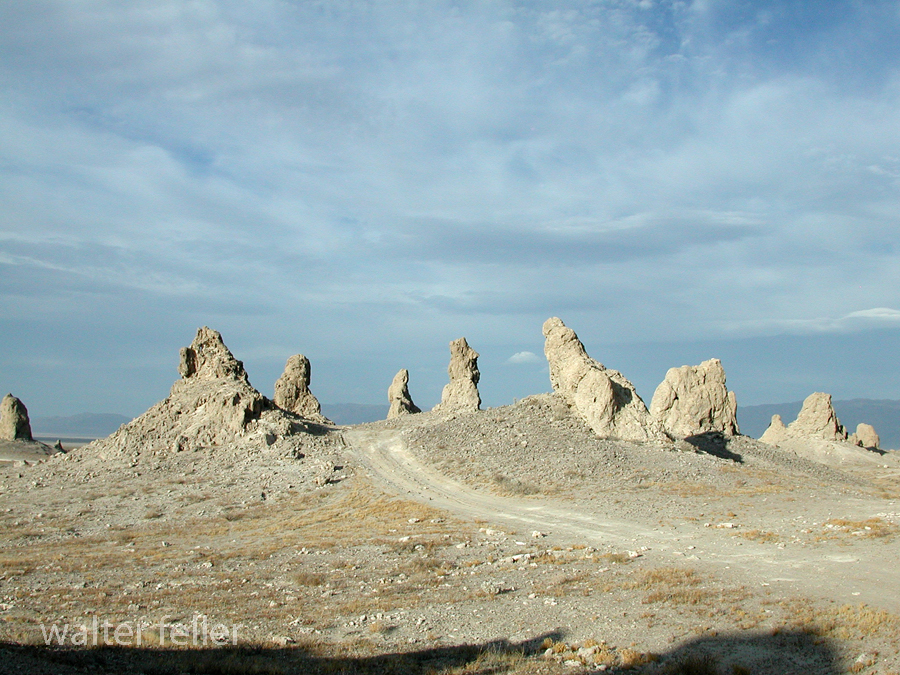
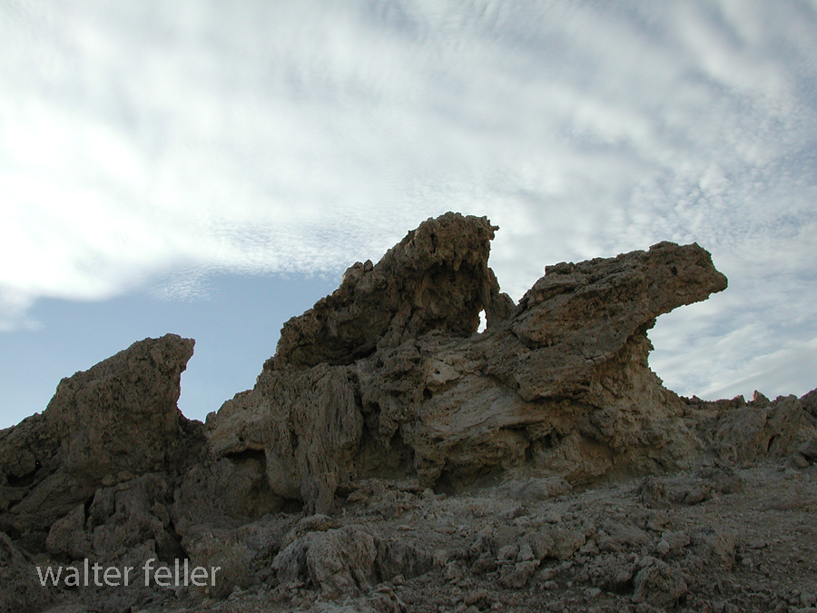
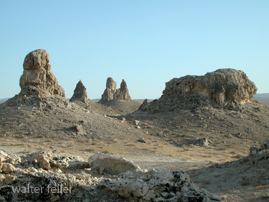
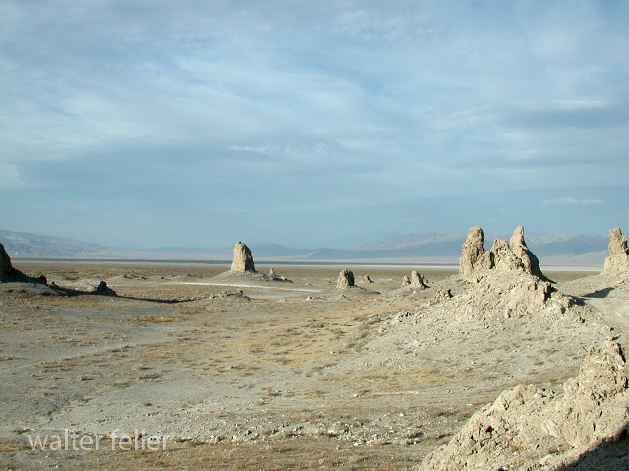
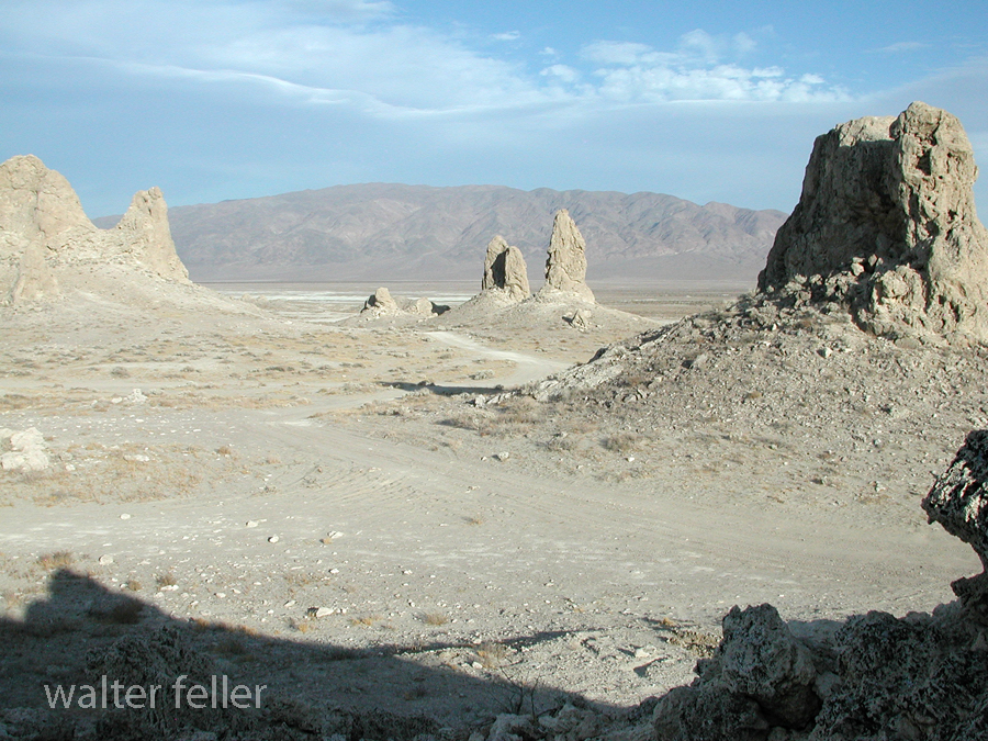
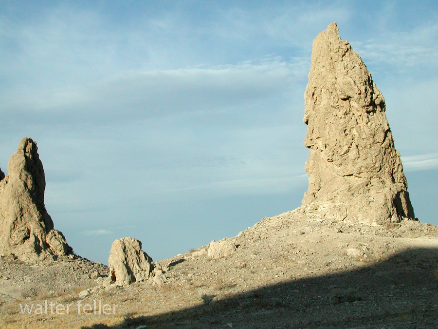
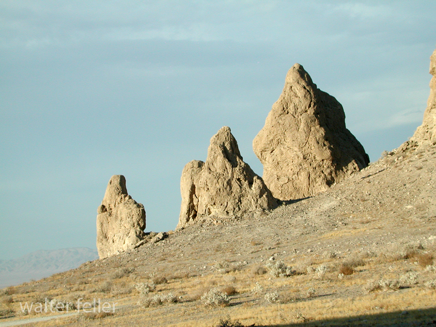
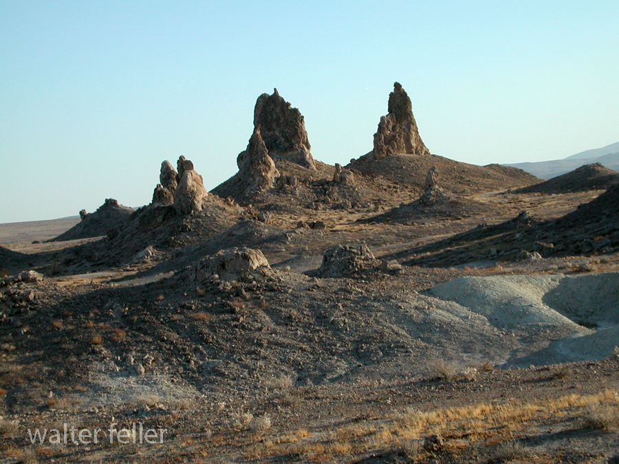
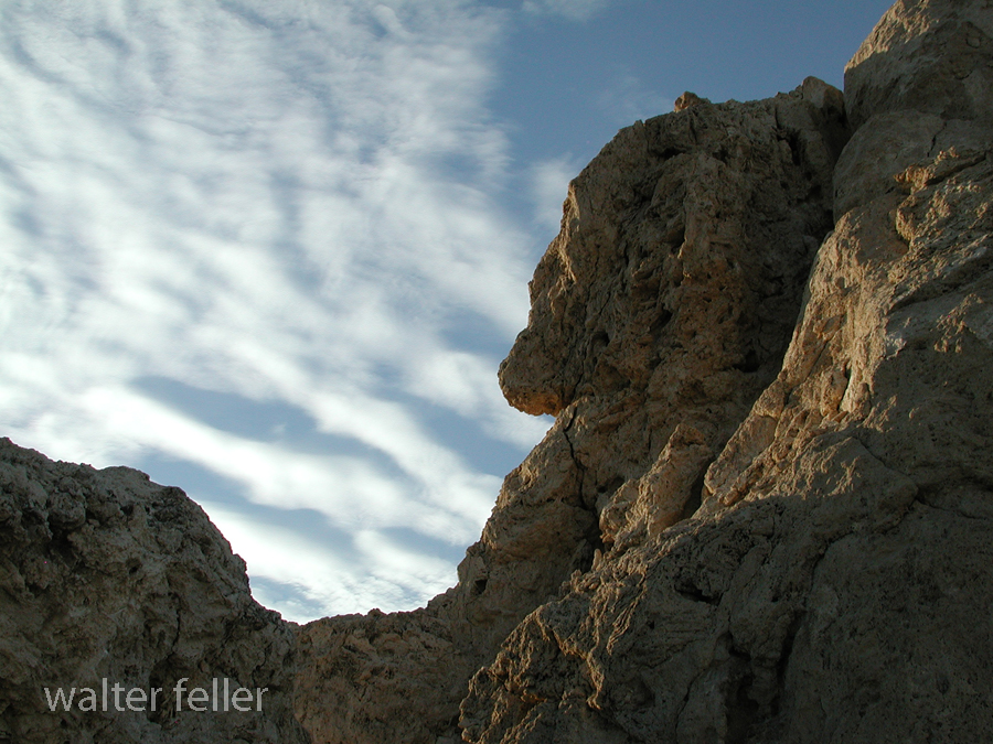
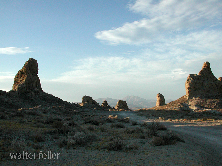
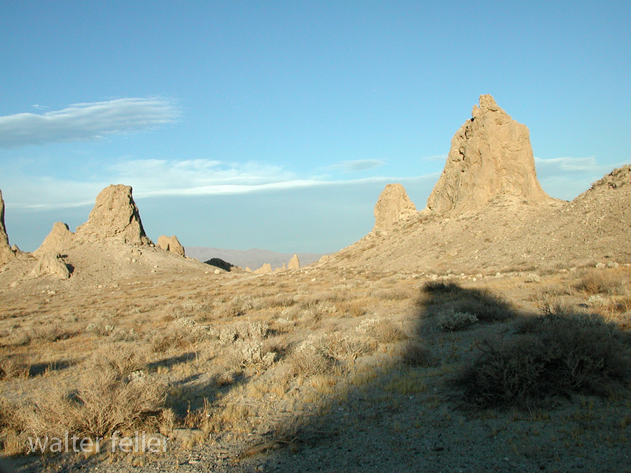
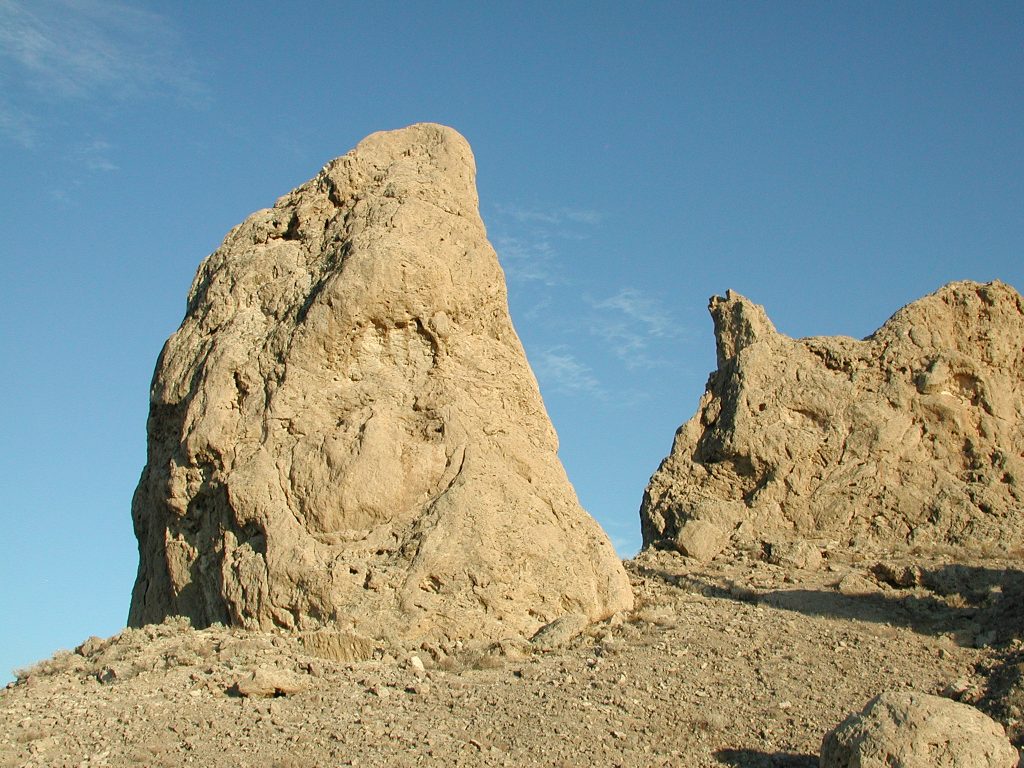
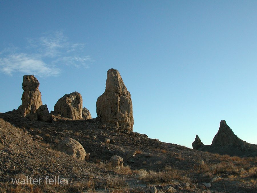
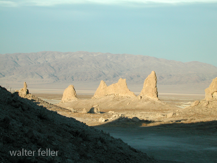
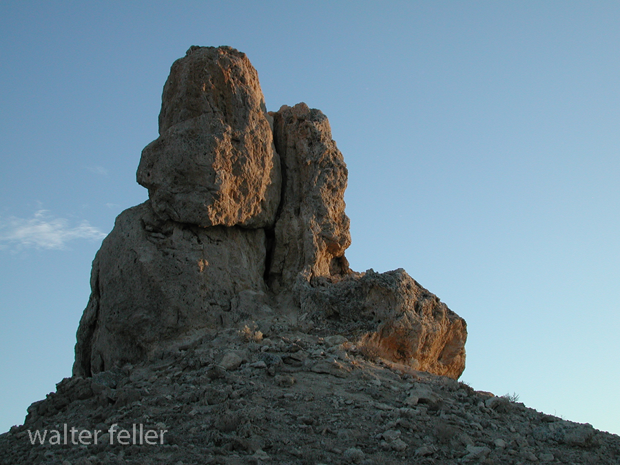
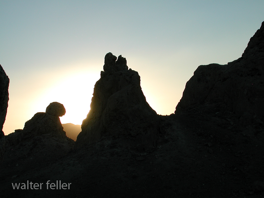
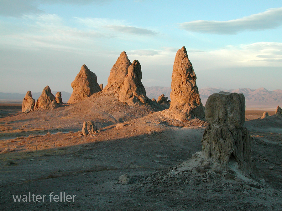
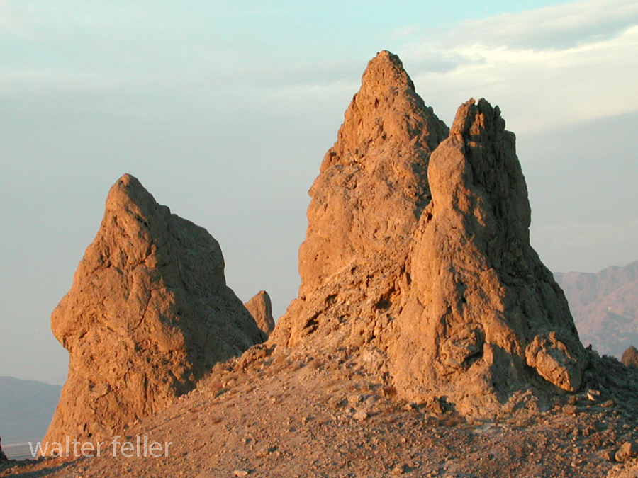
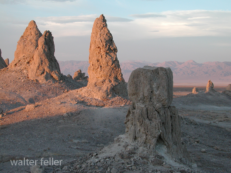
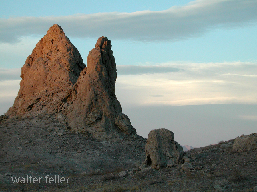
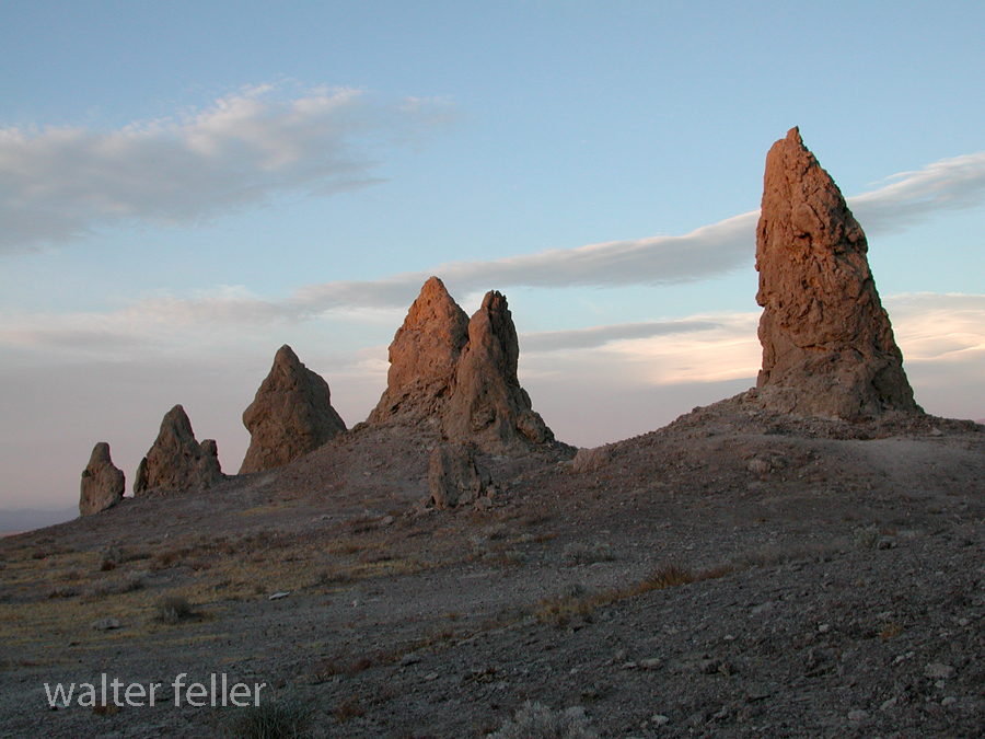
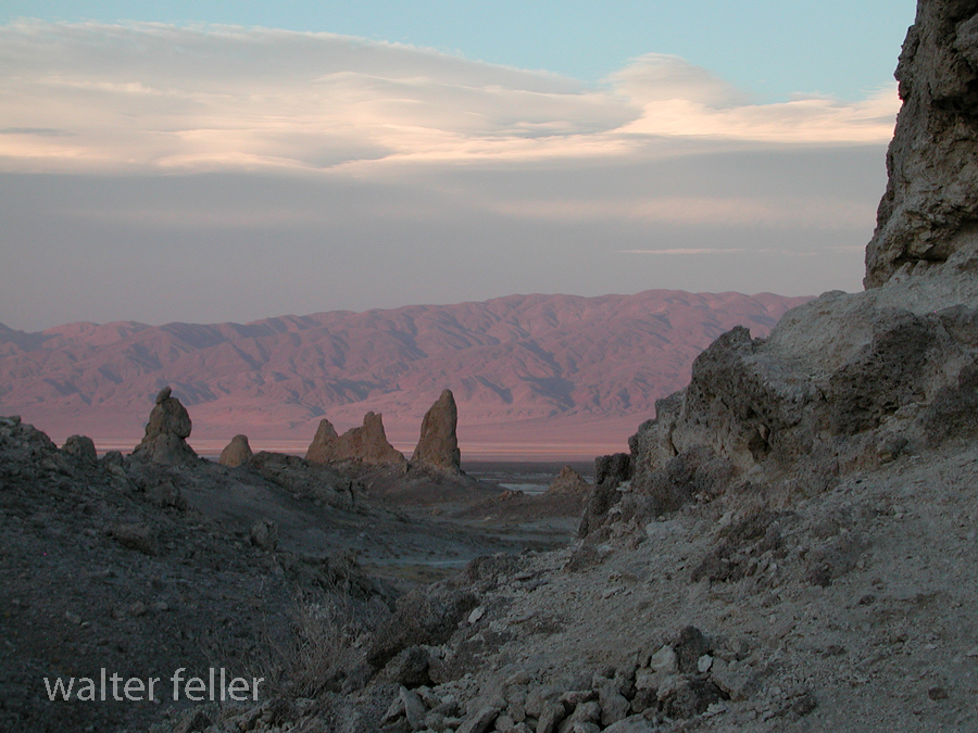
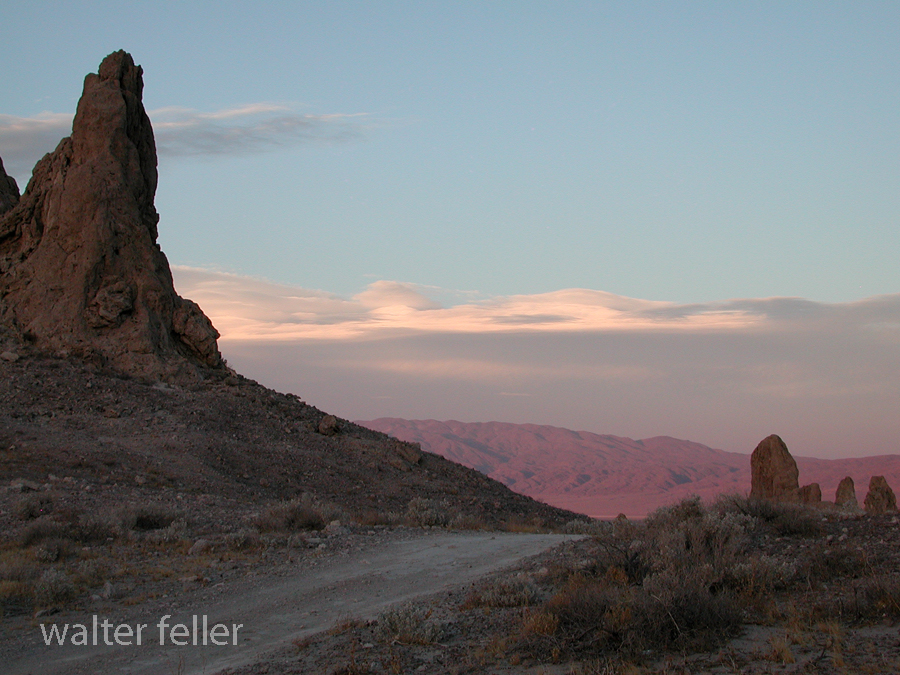
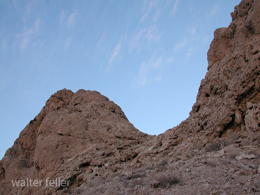
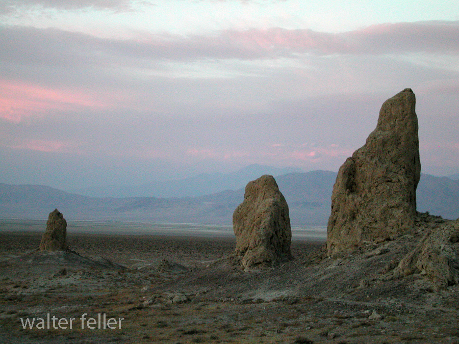
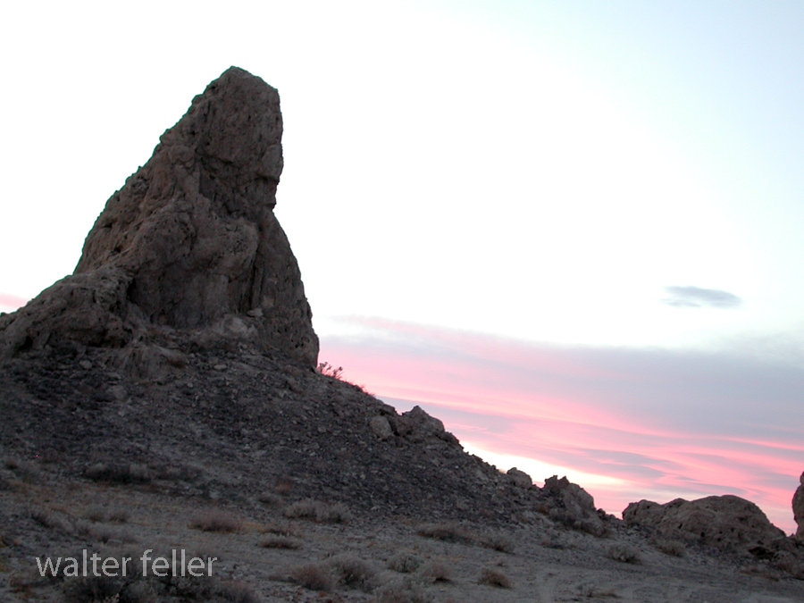
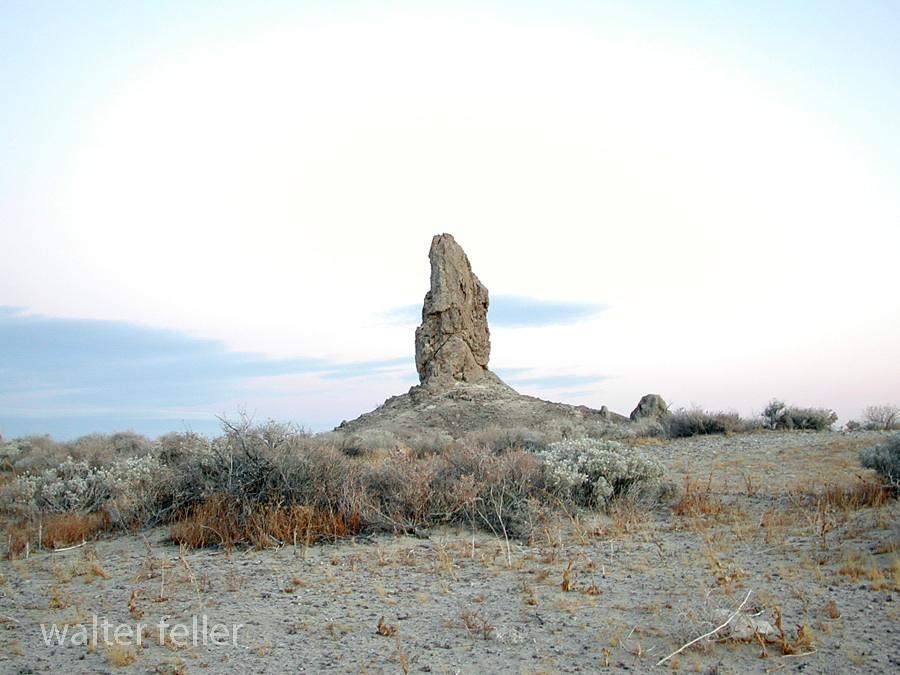
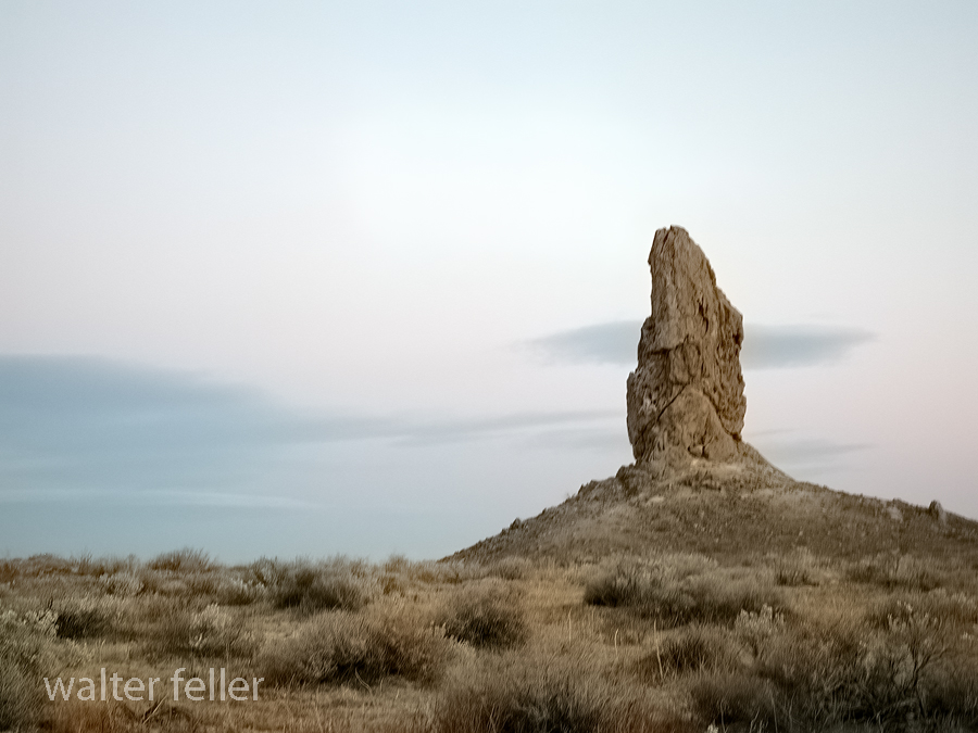
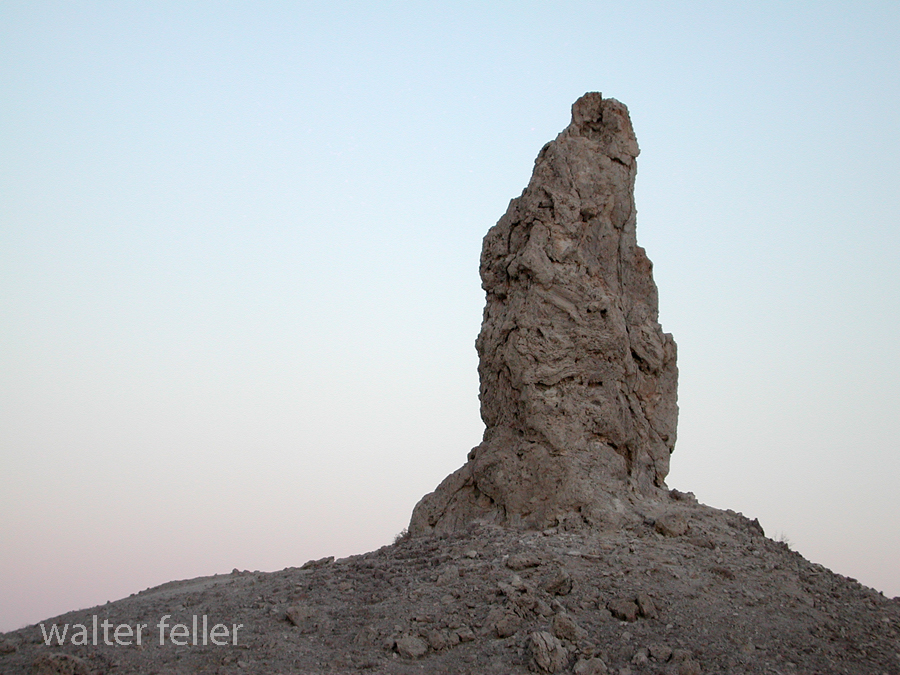
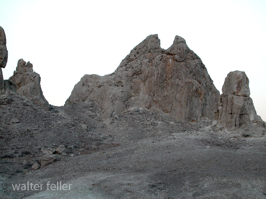
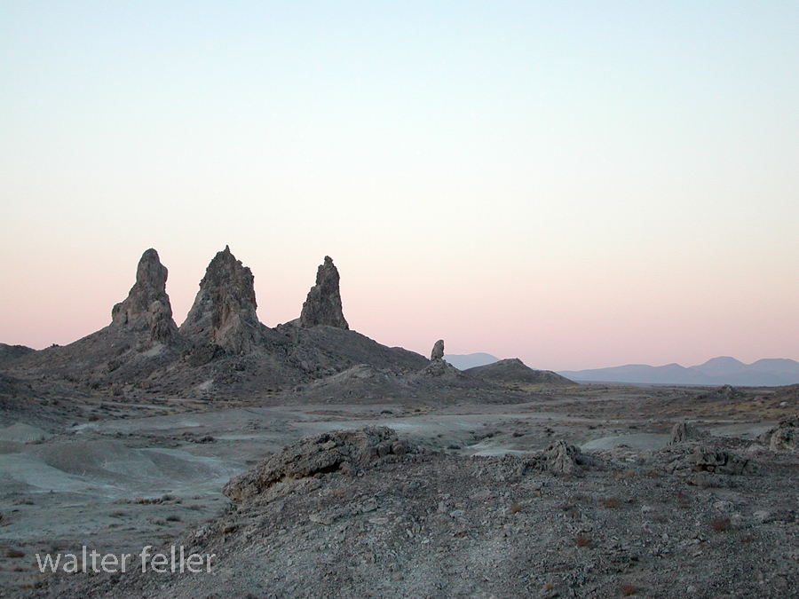
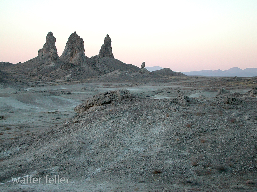
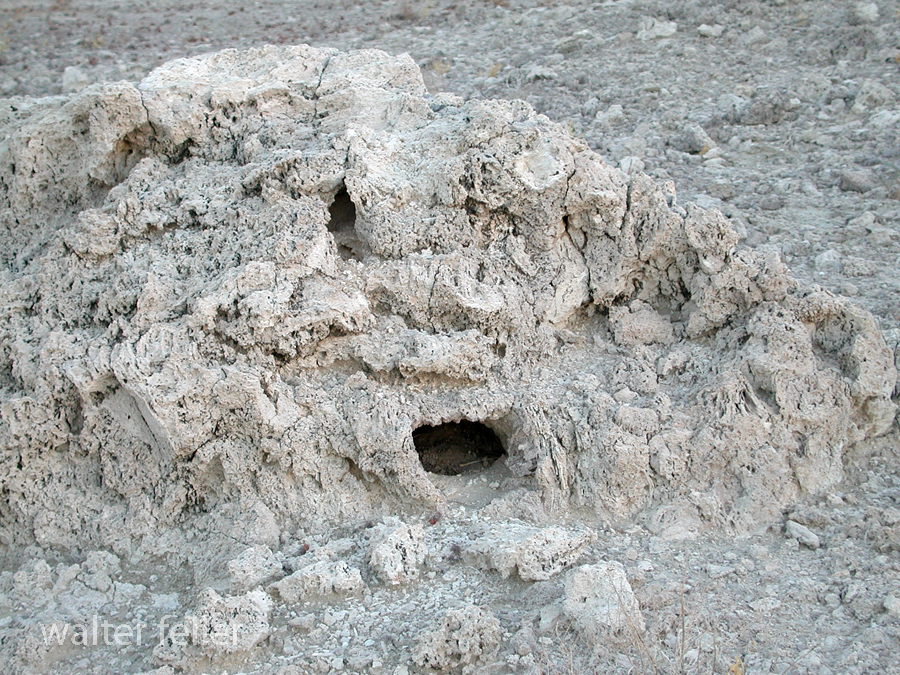
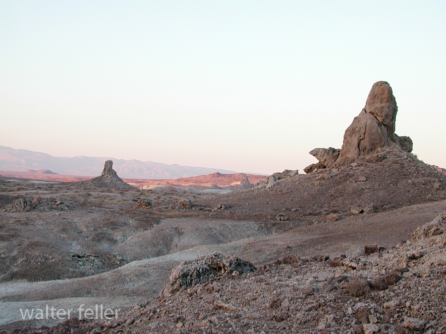
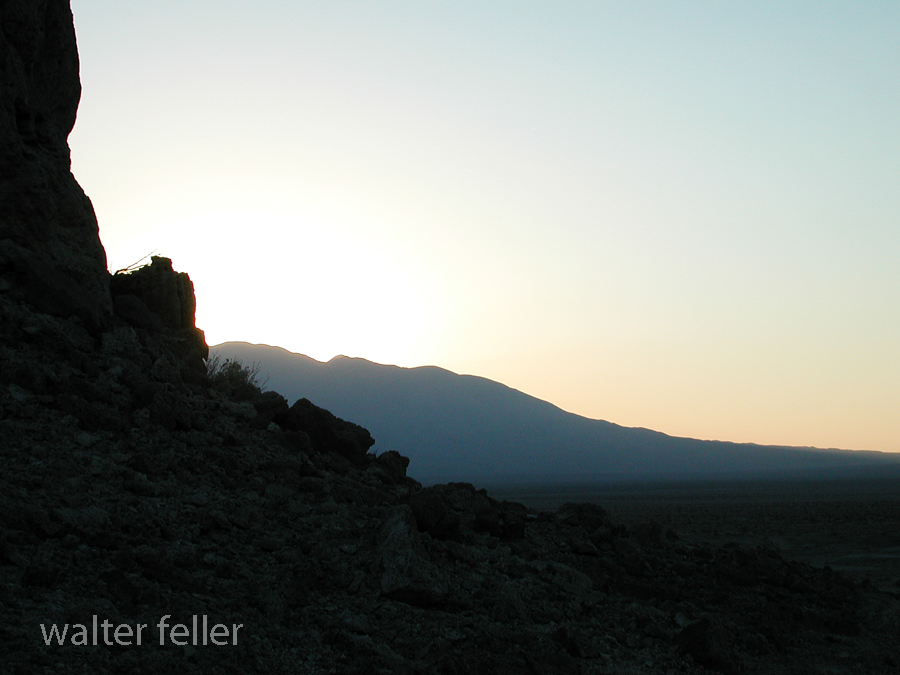
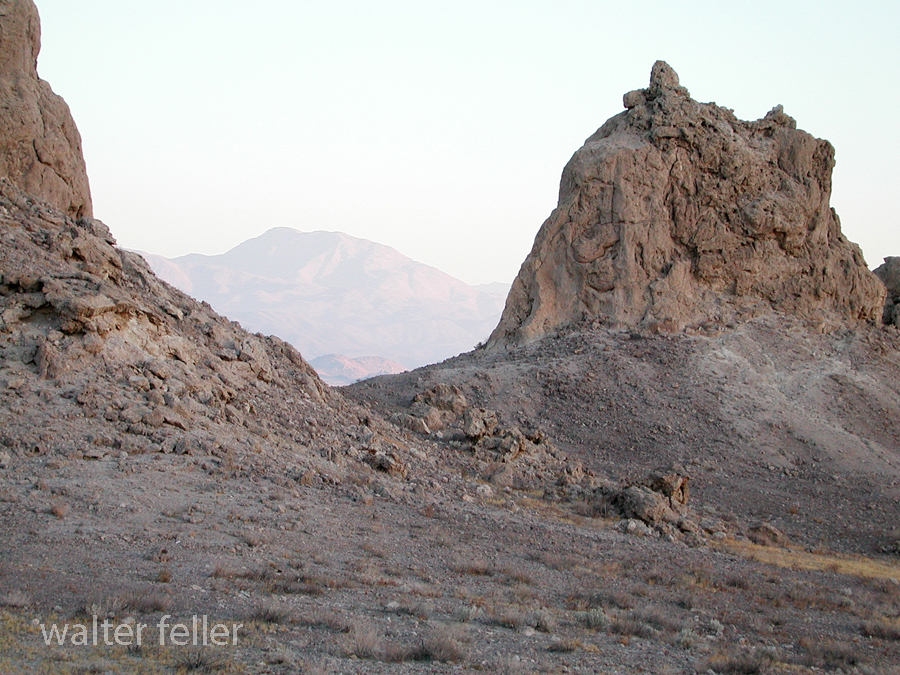
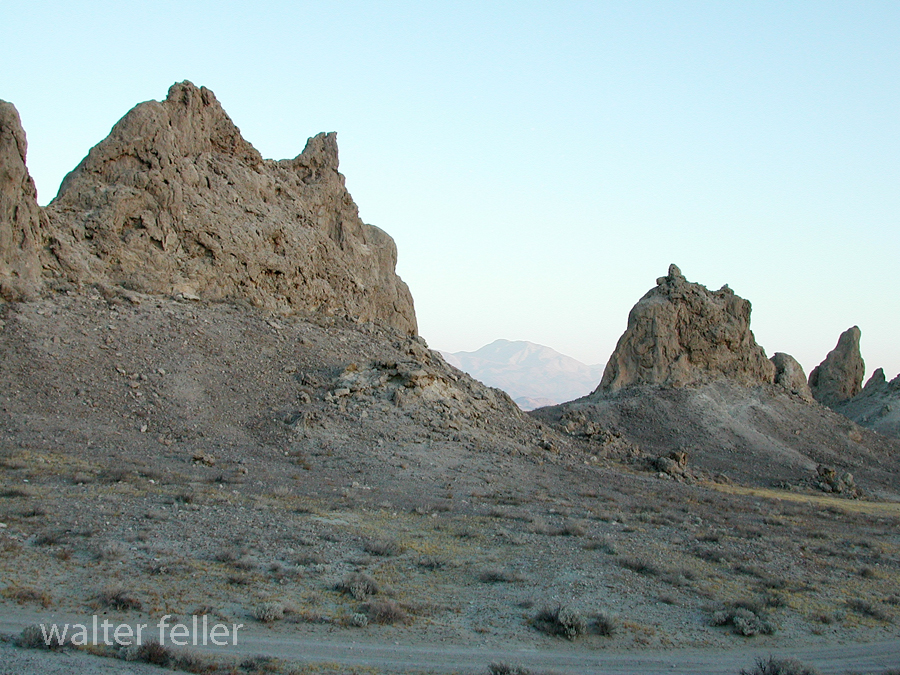
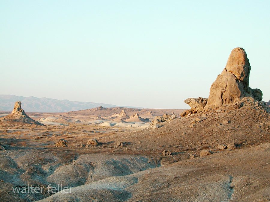
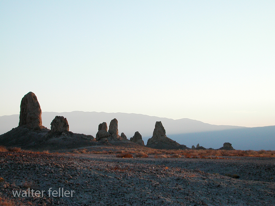
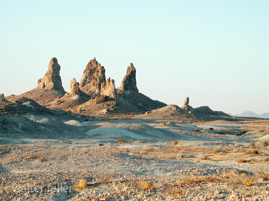
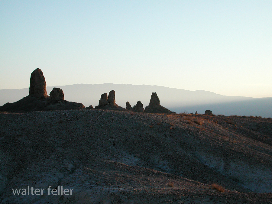
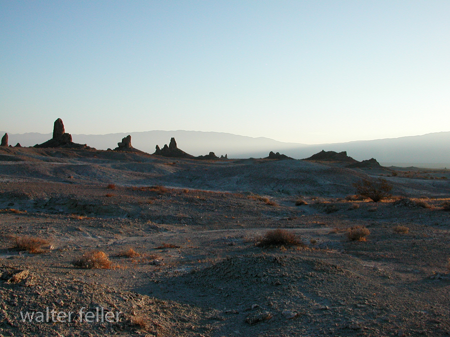
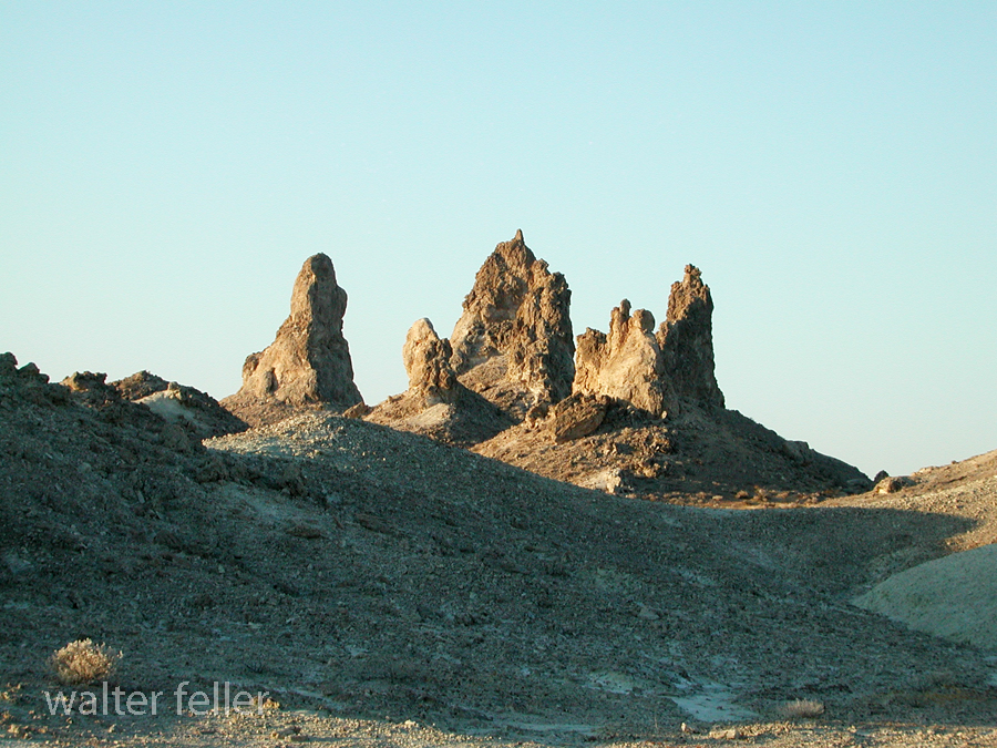
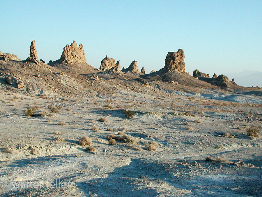
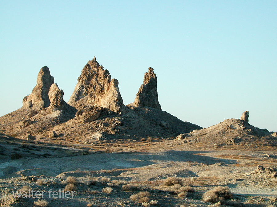
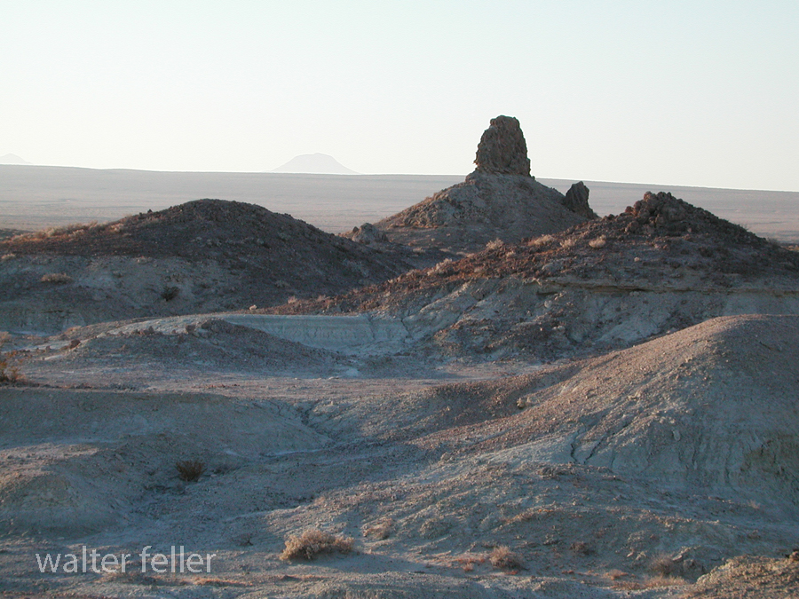
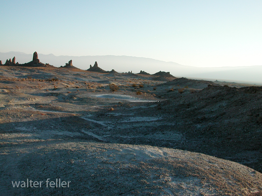
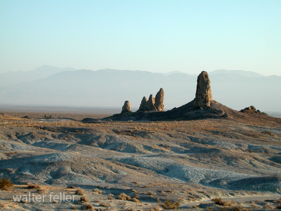
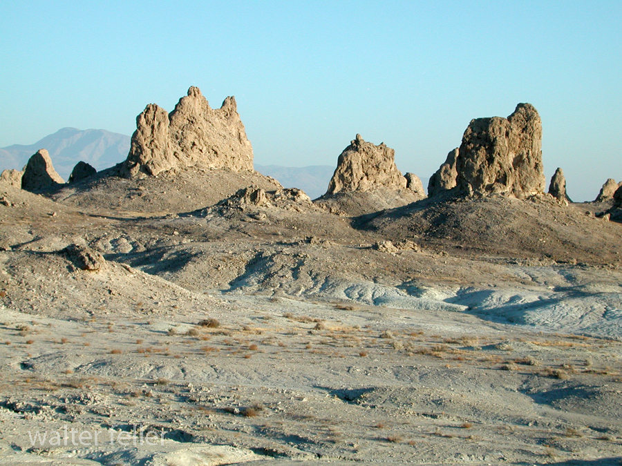
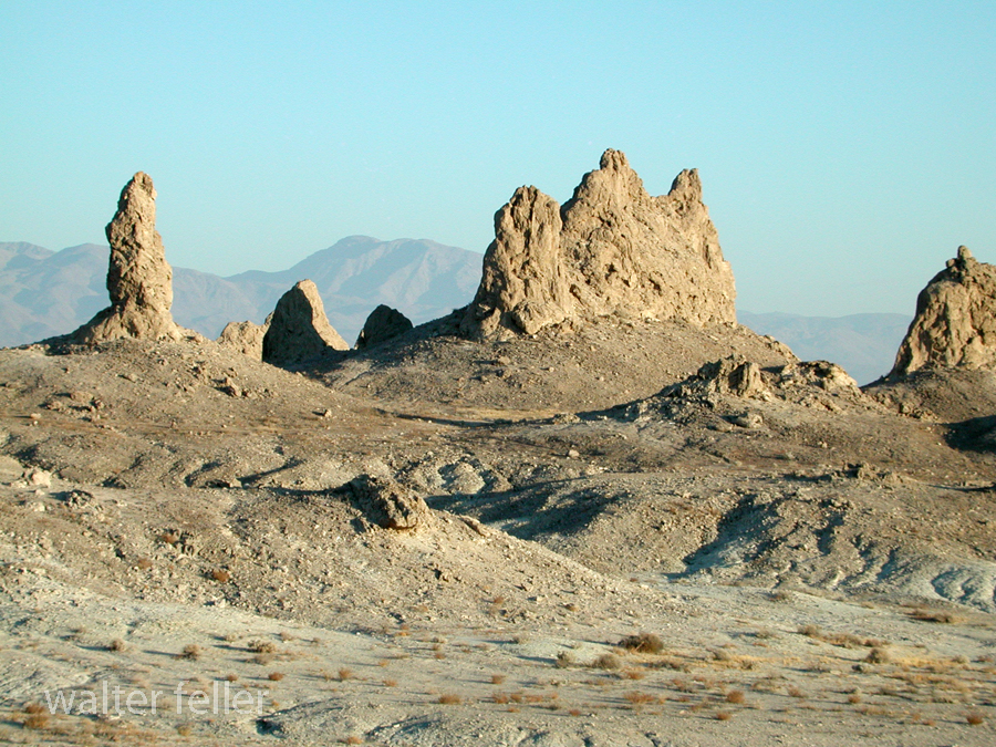
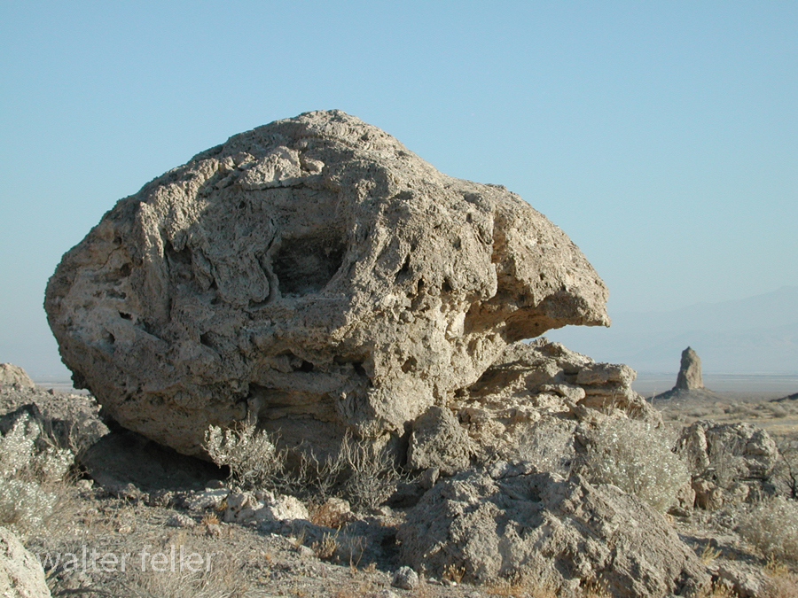
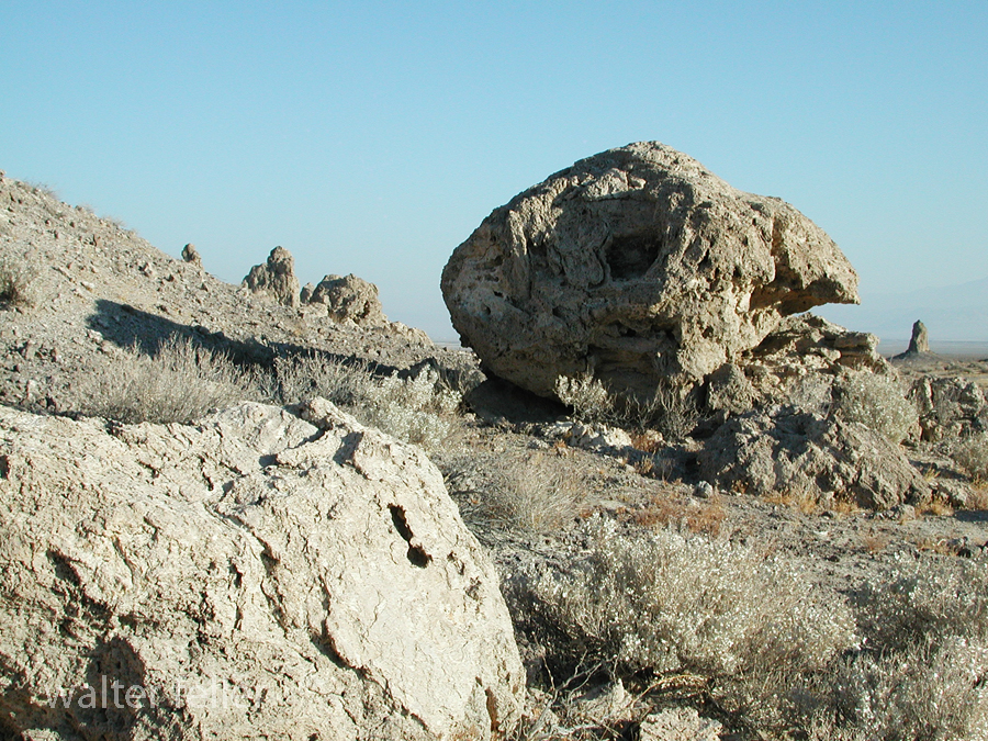
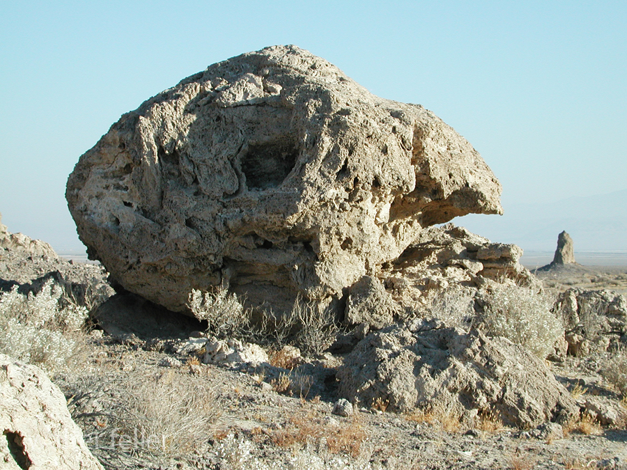
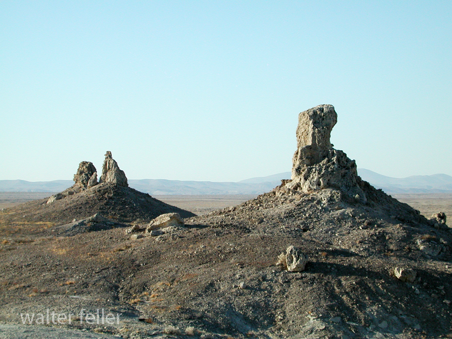
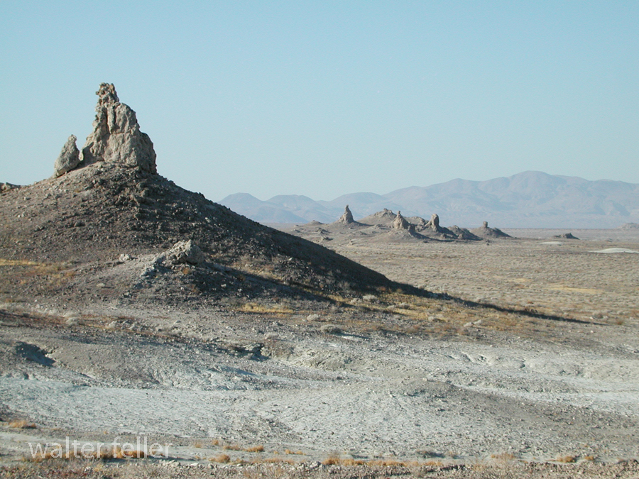
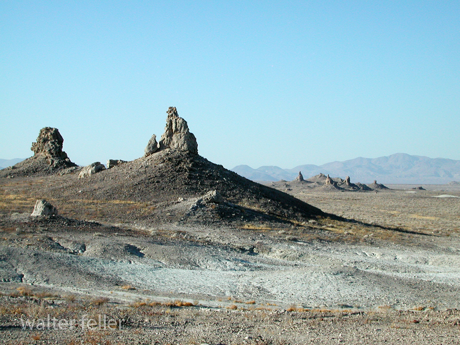
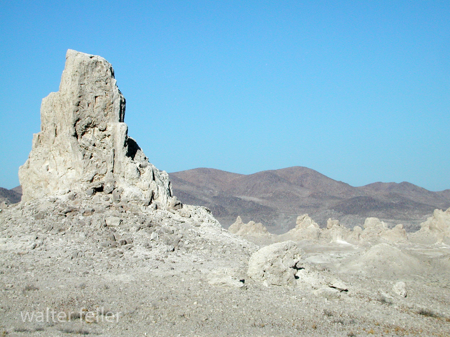
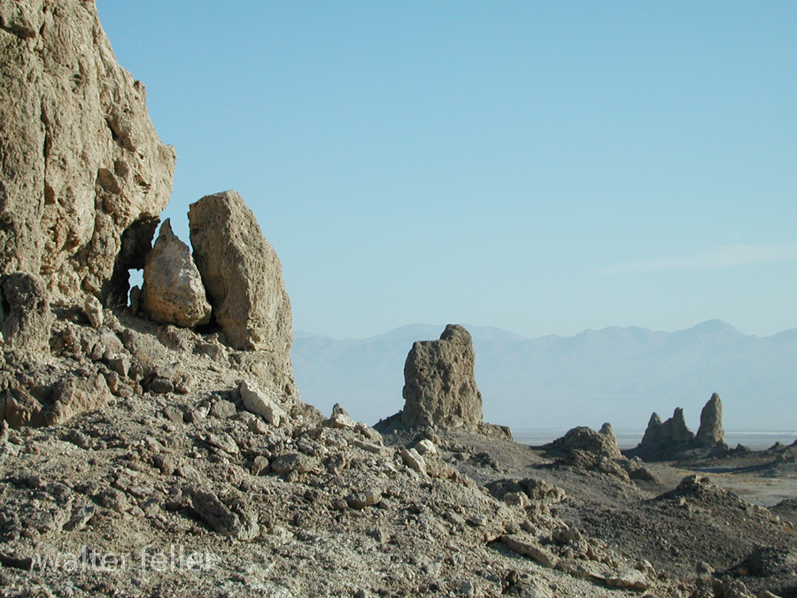
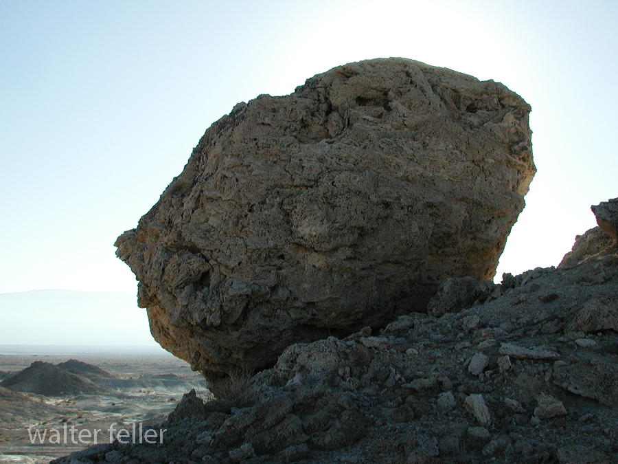
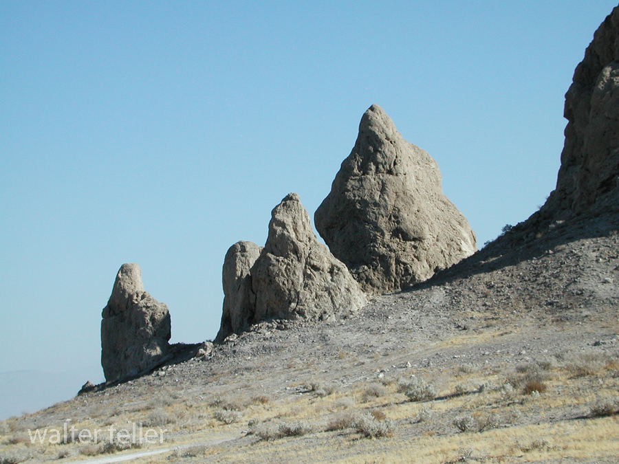
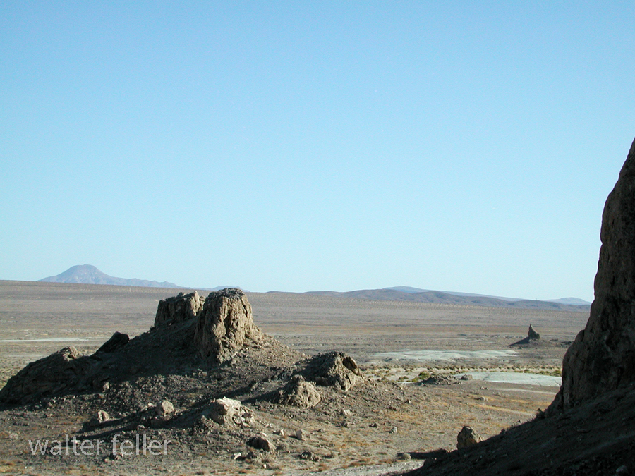
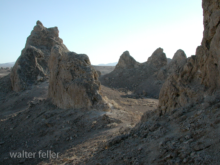
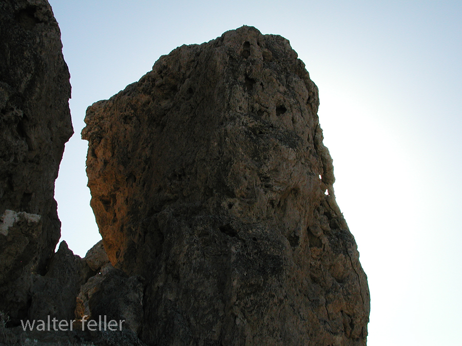
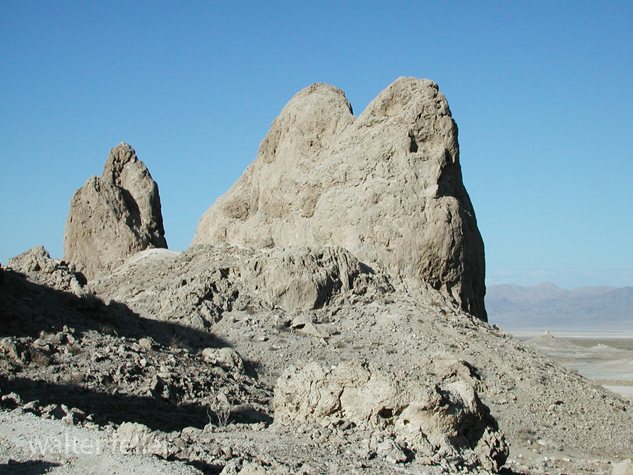
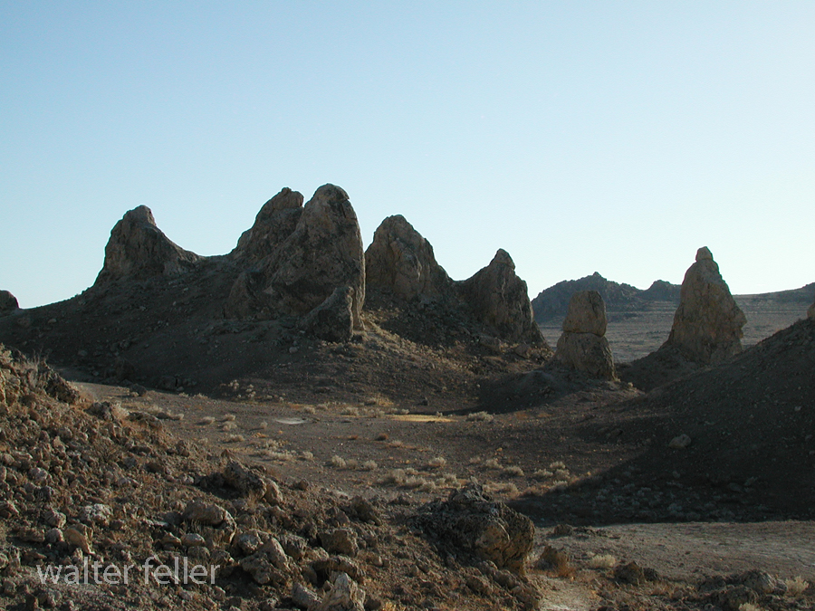
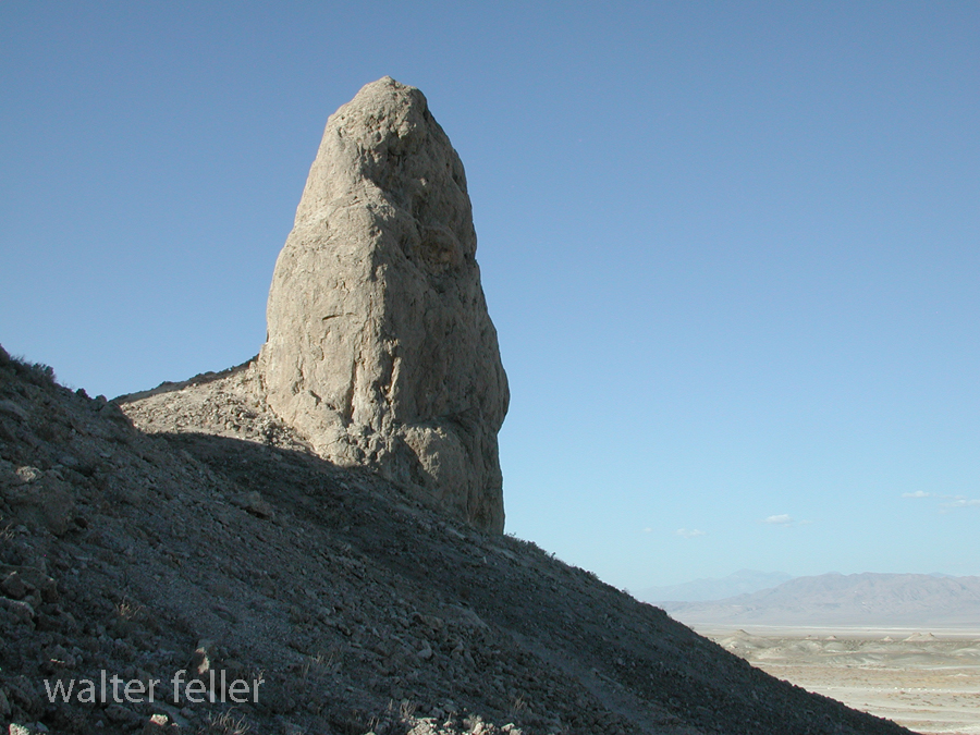
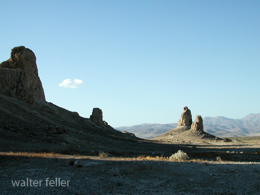
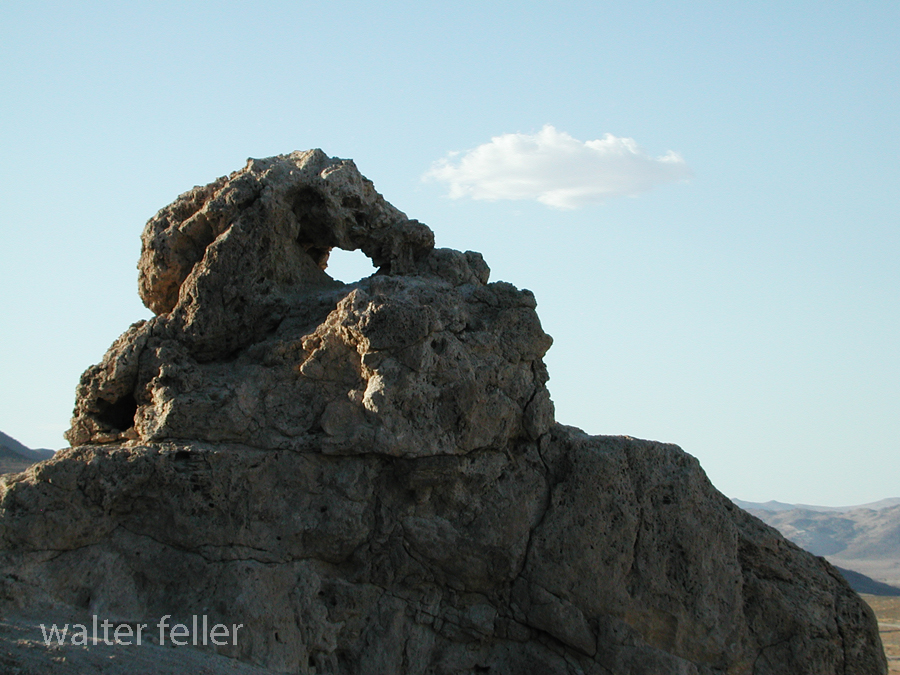
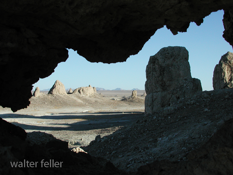
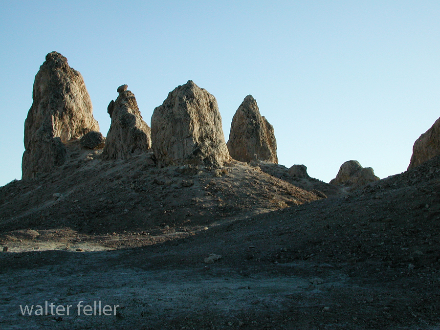
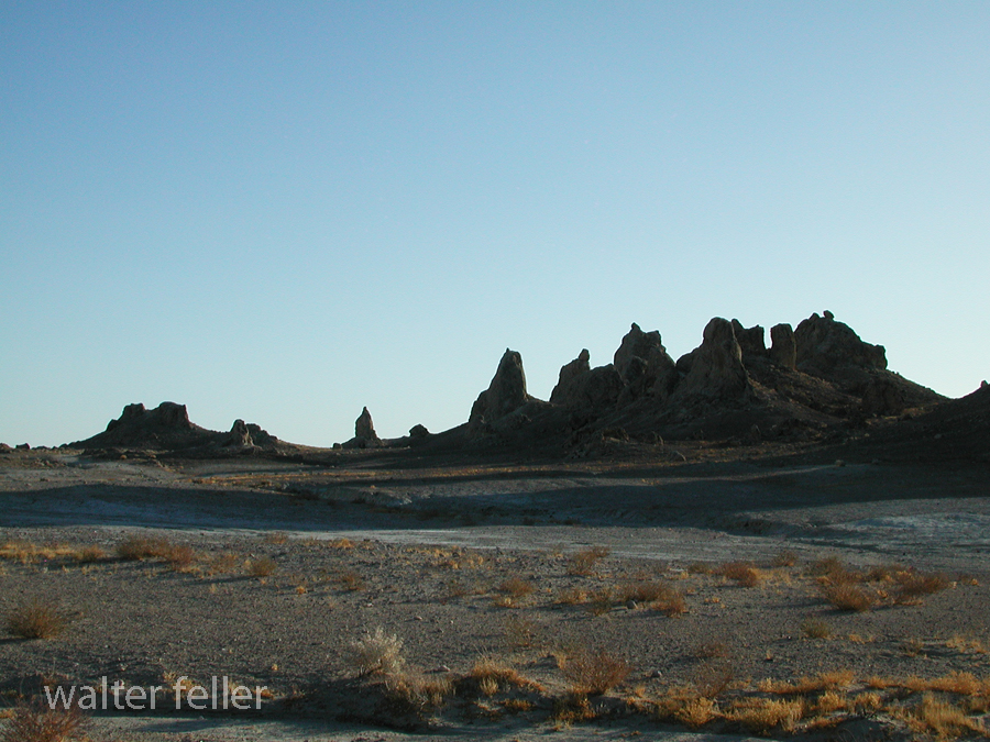
October 2004. Eddie the dog and I make a study of the Trona Pinnacles.

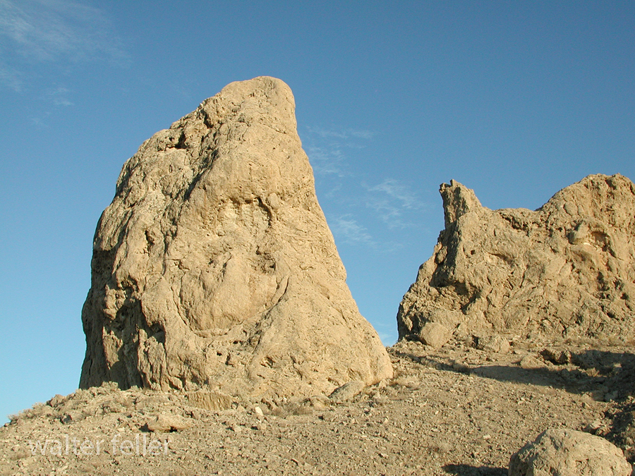
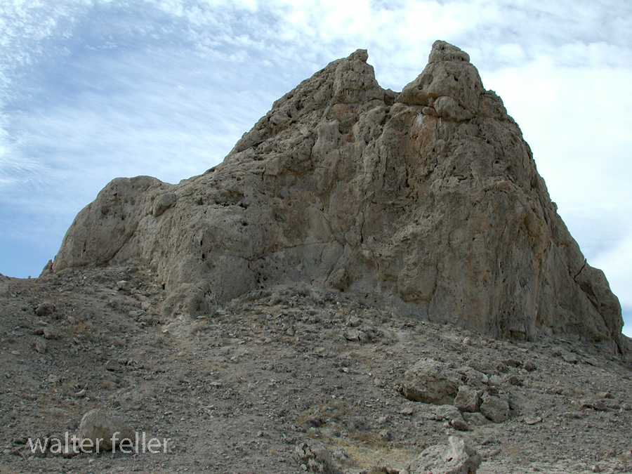
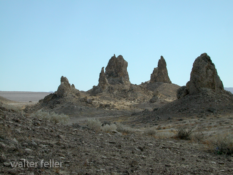
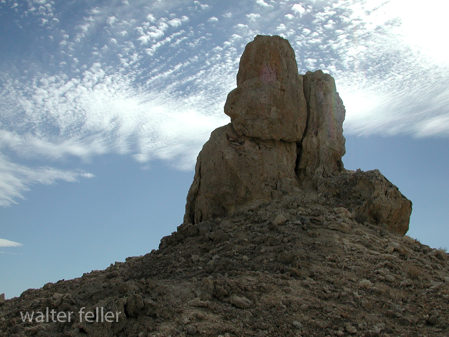








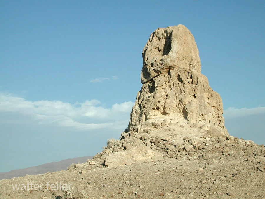
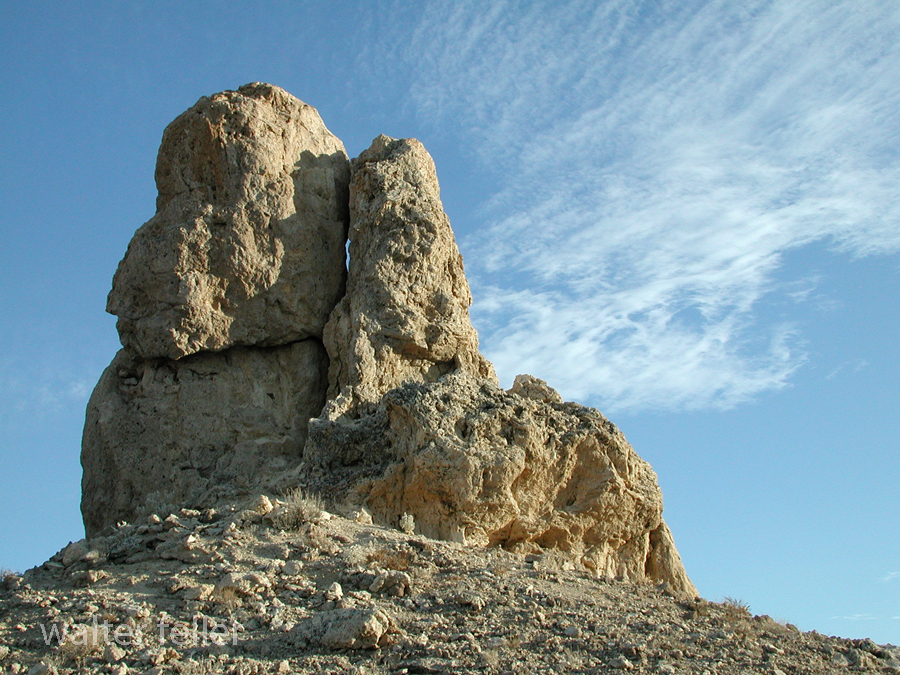
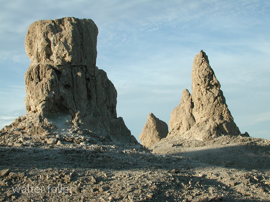
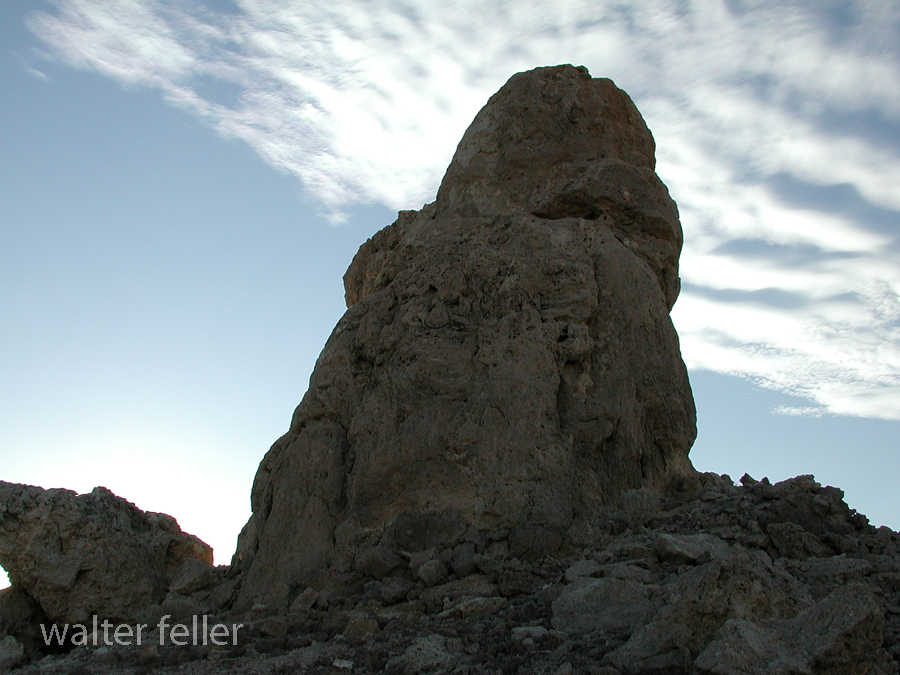





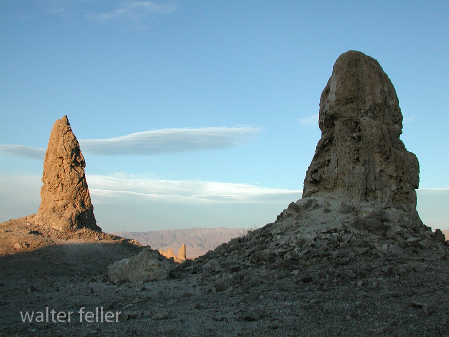
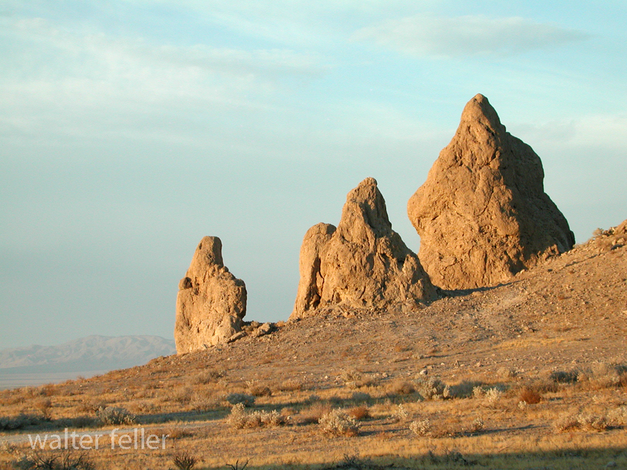
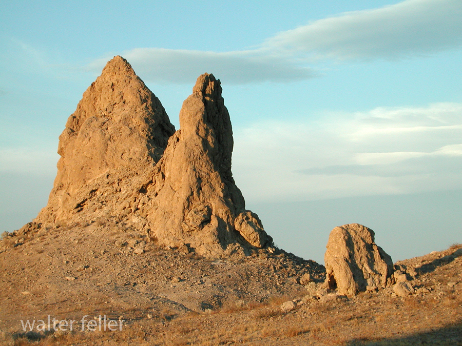

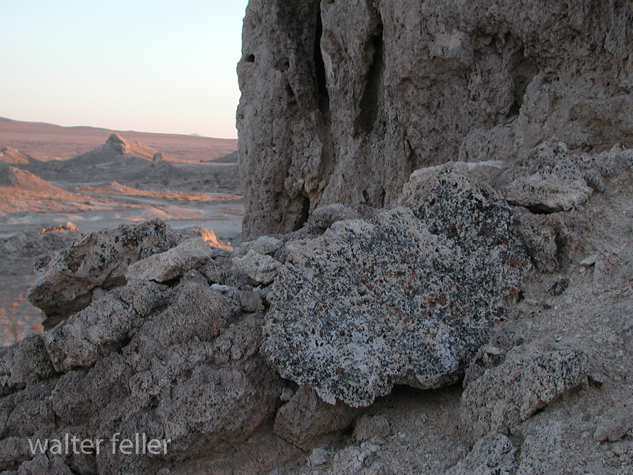












This red thing
This arrhythmic thing
This beating heart
Pounding and pounding, pounding
Torn from the chest and held high
in infrangible grasp
in wild eccentricity
Uncontrolled
Sacrifice
unbalanced
This beating heart
erratically pulsing wave after wave of deep, red light
& silver, dull gray, ungreen
under these painted skies
Pounding, pounding, and pounding
in wild eccentricity
This Chaotic Heart
This arrhythmic thing
This red thing
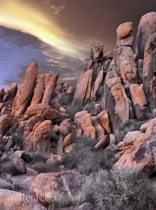
Marl Springs is a historical site located in the Mojave Desert National Preserve in California. The area has significance due to its role as a water source for travelers and settlers in the desert region. Here’s a brief history of Marl Springs:
Today, Marl Springs stands as a testament to the challenges and opportunities the Mojave Desert presents, showcasing the intersection of natural resources, human history, and the development of transportation routes in the American West.
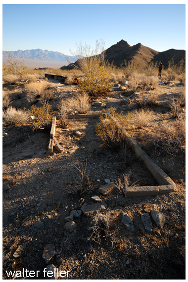
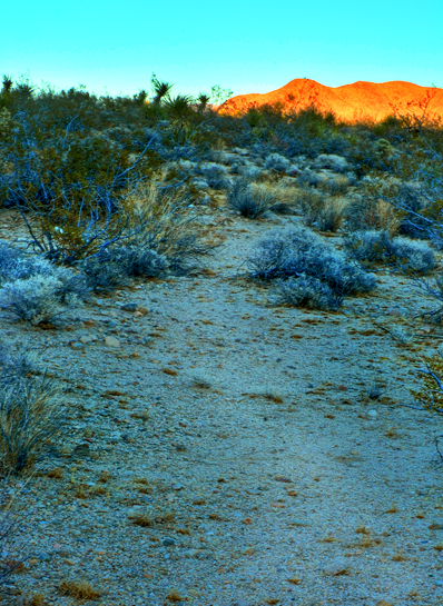
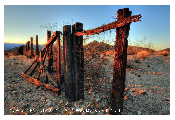
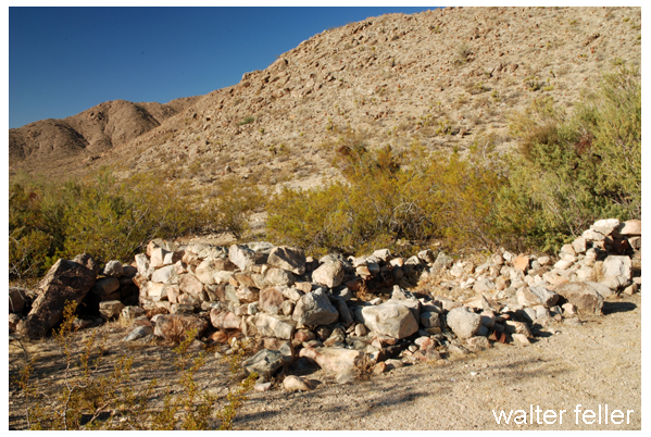
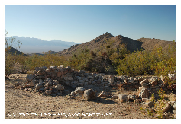
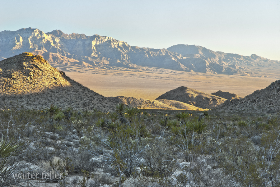
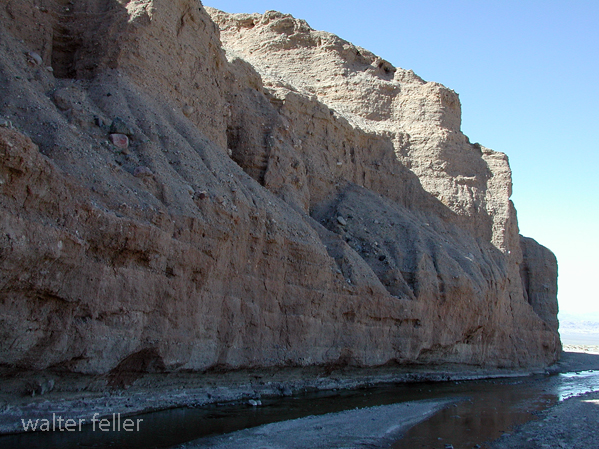
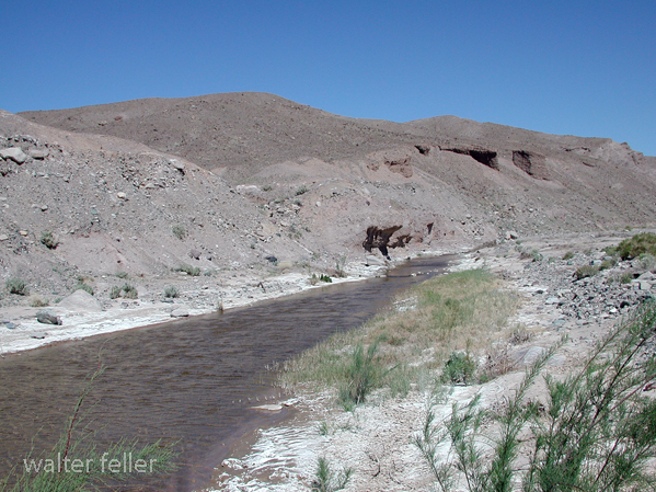
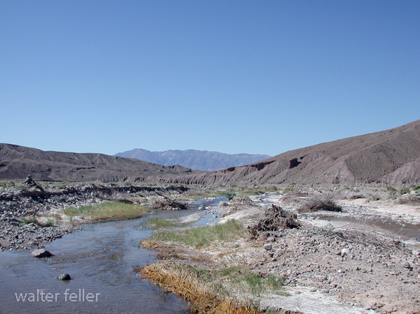
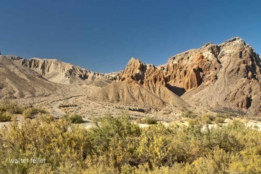
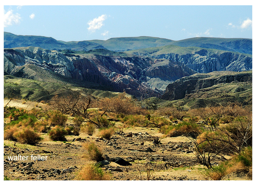
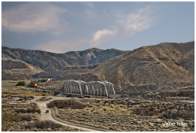
Afton Canyon is a scenic and geologically interesting area located in the Mojave Desert of Southern California, USA. It is often called the “Grand Canyon of the Mojave” due to its impressive and rugged landscapes. One of the notable features of Afton Canyon is its association with the Mojave River.
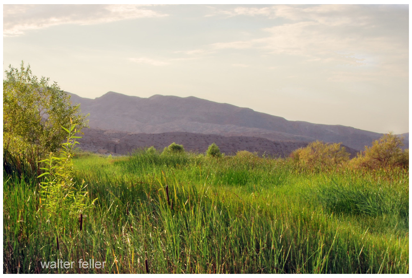
The Mojave River runs through Afton Canyon, creating a unique riparian (riverbank) environment amid the desert. The river, although intermittent in some sections, has carved a deep and narrow canyon through the surrounding sedimentary rocks, exposing colorful layers of sediment and providing a habitat for various plant and animal species.
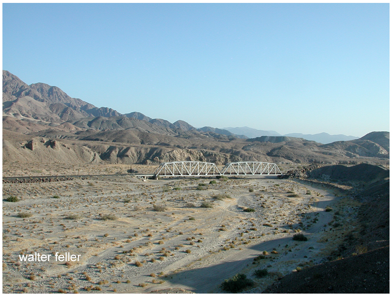
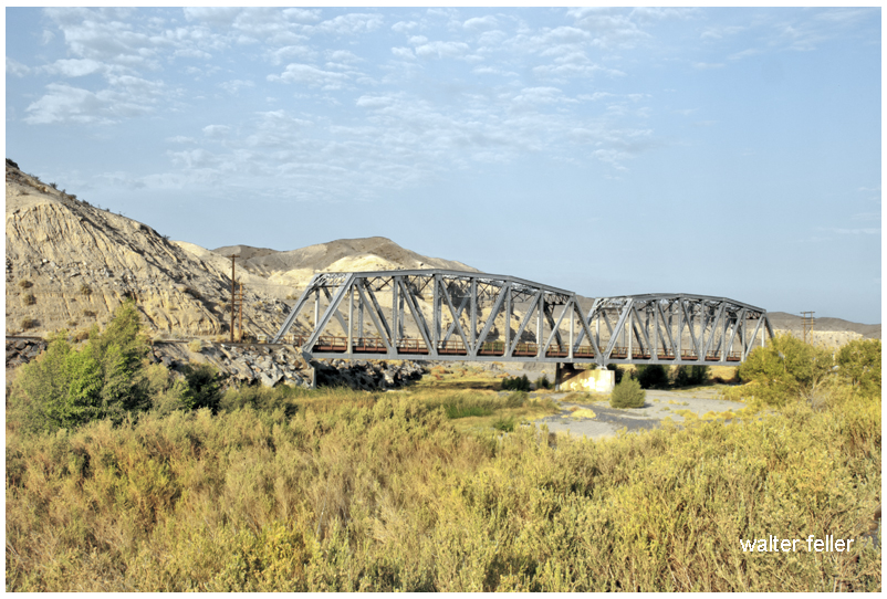
Afton Canyon is part of the Mojave National Preserve, a unit of the National Park Service. The area is popular for outdoor activities such as hiking, bird watching, and camping. The canyon also features a historic railroad route, including a section known as the “Afton Canyon Natural Area,” which showcases the old railway trestle that spans the Mojave River.
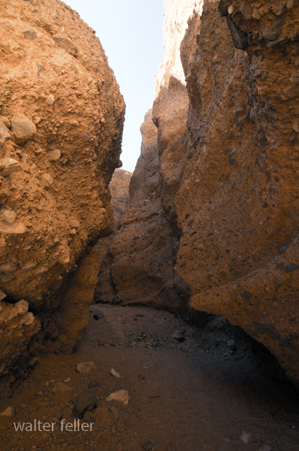
The geology of Afton Canyon is noteworthy, as it exposes layers of sedimentary rocks, including sandstone and mudstone, which tell a story of the region’s geological history. The canyon’s formation is attributed to the erosive power of the Mojave River over time.
Visitors to Afton Canyon can explore its scenic beauty, enjoy recreational activities, and learn about the unique geological and natural features that make this area a special part of the Mojave Desert.


Documentation compiled after 1968 (see full notes below gallery)

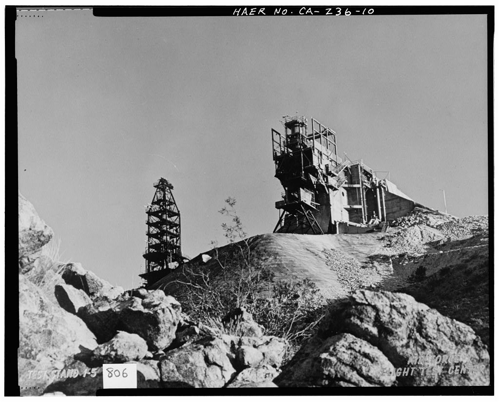
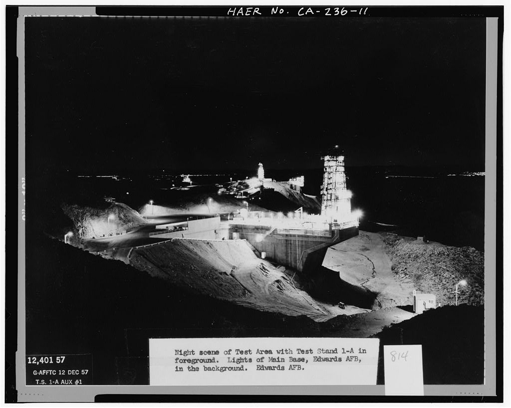

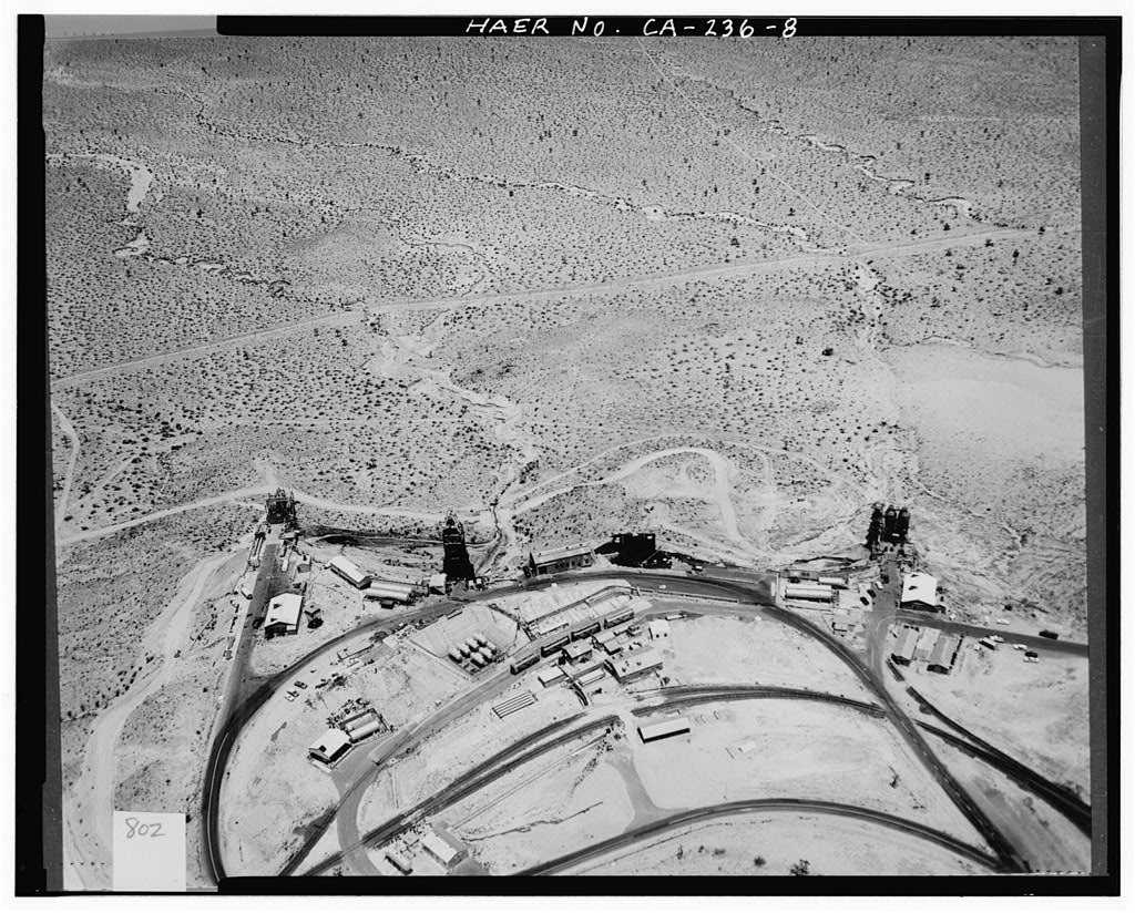
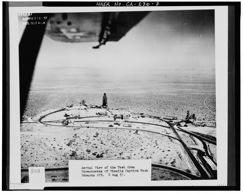


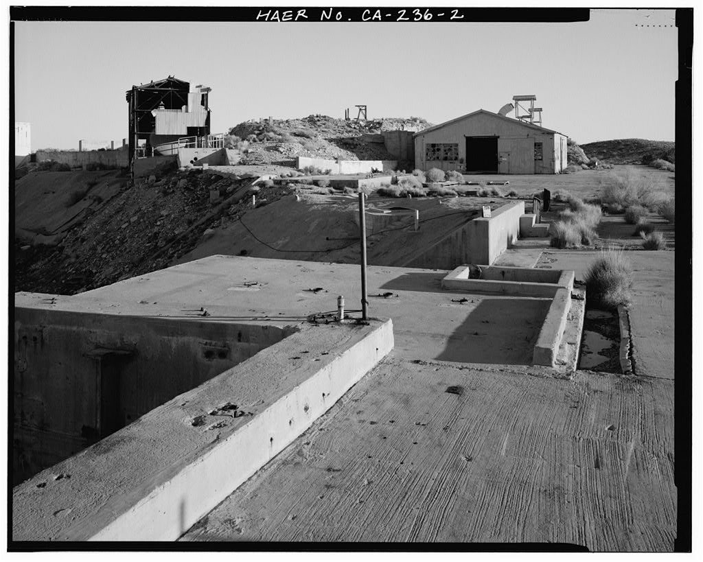
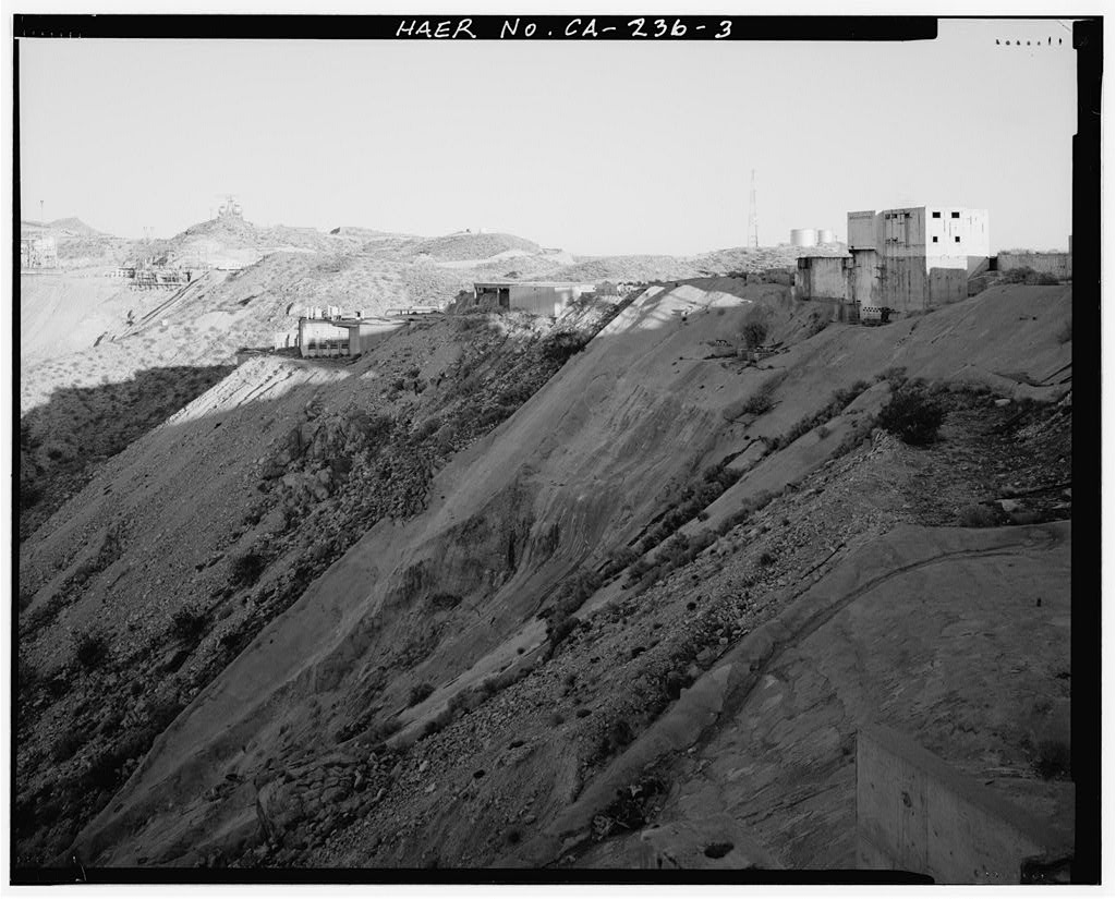


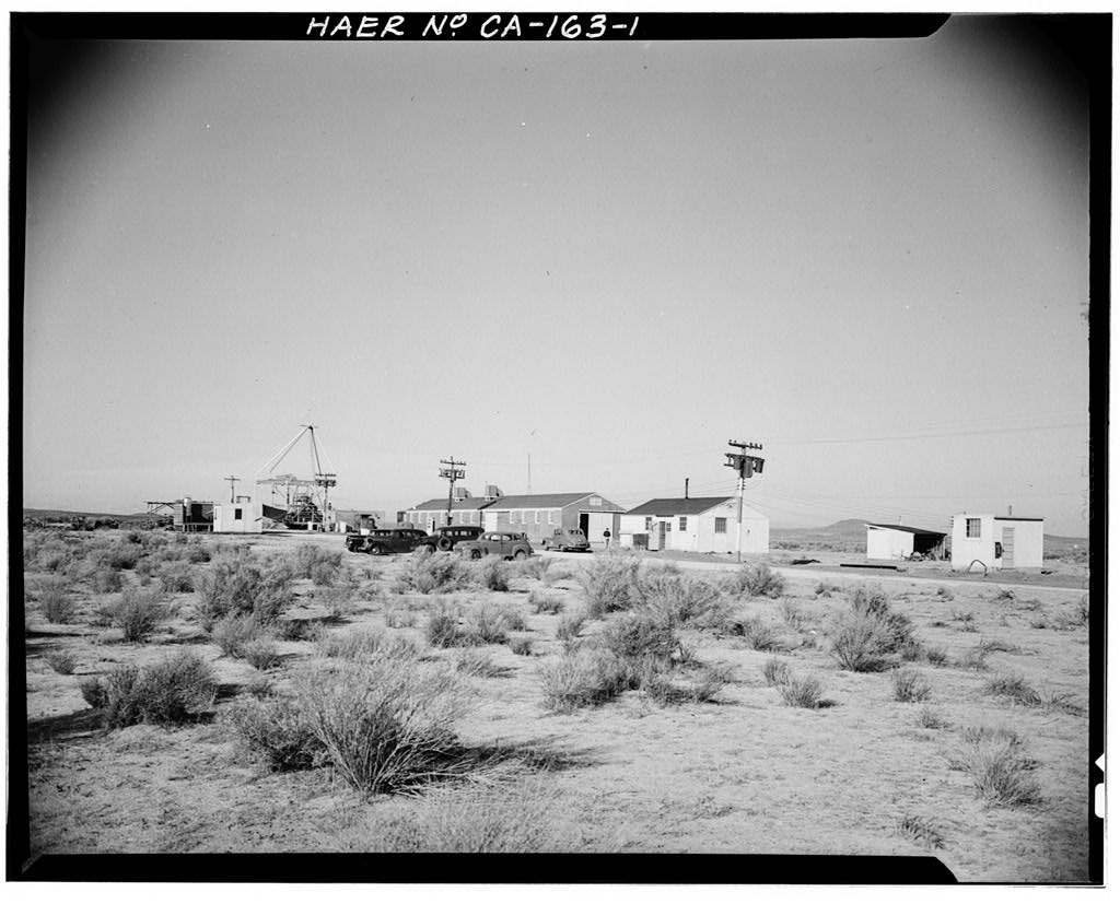
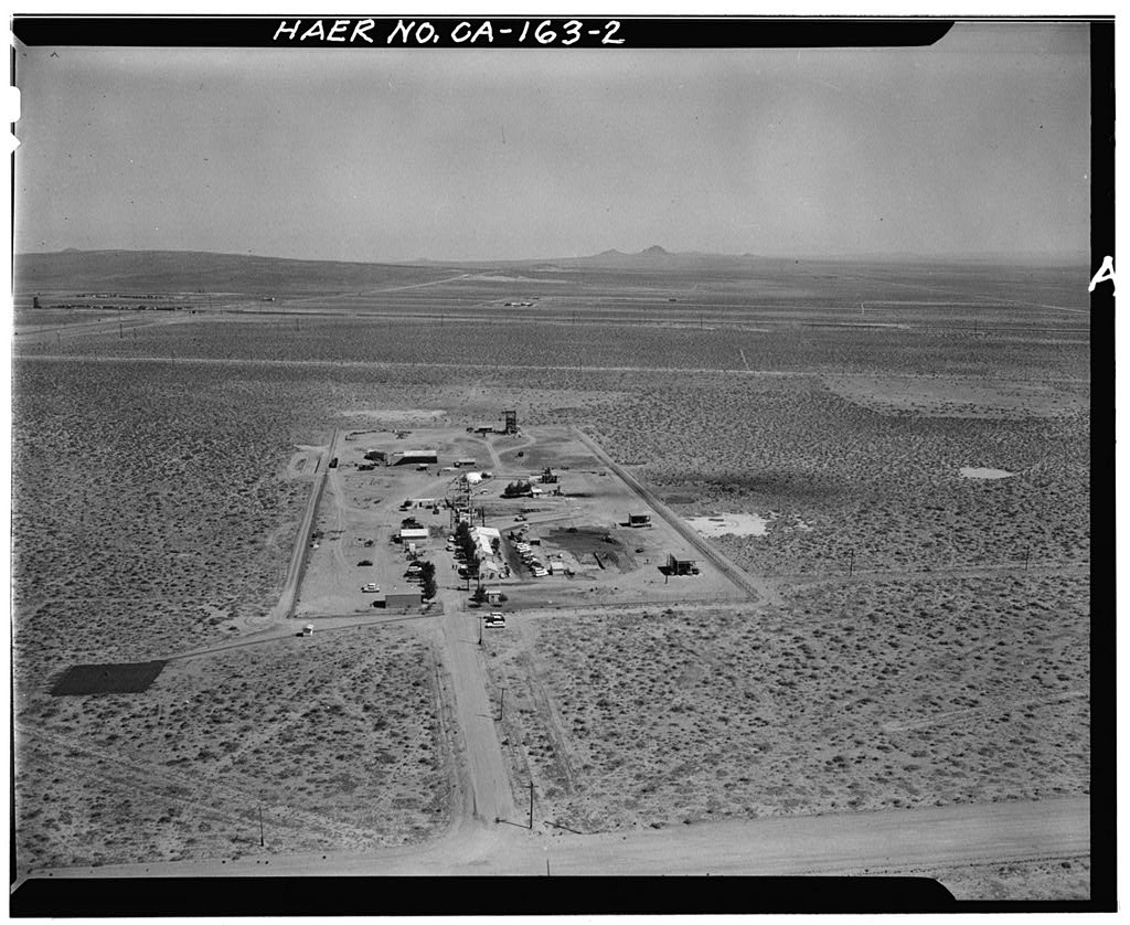
Air Force Rocket Propulsion Laboratory (site)
Significance: Since its inception, the AFRL has been devoted to the advancement of rocket technology in support of U.S. military weapons and space flight superiority. Unlike any other facility associated with rocket systems research, design, testing, and evaluation (RDT&E), the AFRL provided facilities for all aspects of systems development and supported some aspect of the evolution of each of the significant rocket and missile systems developed between the Cold War era and the present.
Test Area 1-100 played an exceptionally important role in the development of the Minuteman missile program and in the RDT&E of performing “hot-firings” from underground missile silos. Air Force engineers at the AFRL developed the technology for achieving a successful hot-firing and designed the first silo facility in the United States that could perform this function. The ability to hot-fire the Minuteman missile was one of its most influential features because it reduced the launch time to 30 minutes or less, which put the United States on par with Soviet launch capabilities.
Test Area 1-115 was the first testing facility constructed at the AFRL and was exceptionally important in the advancement of both Air Force and contractor testing and evaluation of four nationally significant missile programs and generations of intermediate rocket programs. Early tests at Test Area 1-115 of the rocket-assisted takeoff (RATO) system reflect the AFRL’s early association with the Air Force Flight Test Center, whereas later tests of the Atlas, Thor, Titan, and Bomarc programs illustrate the AFRL’s exceptionally important role in the advancement of the U.S. Cold War race for technological superiority.
Test Area 1-125 is a unique facility at the AFRL because it originally was built for and by the National Aeronautics and Space Administration (NASA) as the F-1 production test facility. Although NASA had other testing facilities across the United States, the ability to construct three test stands capable of testing engines with 2 million pounds of thrust and use the RDT&E facilities of the AFRL proved to be a valuable asset to the success of the Apollo/Saturn V program.
Test Area 1-120 provided the Air Force and industry with testing facilities that played an exceptionally important role in the advancement of nationally significant missile programs. Test Stand 1-A originally was constructed to accommodate a fully assembled Atlas intercontinental ballistic missile (ICBM). It supported that program until an accident damaged the stand’s superstructure. After the launch of Sputnik and the ensuing focus on the Apollo Saturn V program, new construction and existing facilities were turned over to NASA and Rocketdyne to perfect the E-1 and F-1 engines.
The superstructure of Test Stand 1-A was rebuilt to accommodate the Rocketdyne F-1 engine, which eventually propelled the Saturn V lunar rocket.-
Survey number: HAER CA-236- Building/structure dates: 1948-1967 Initial Construction