I like geology because it transforms how I see the desert. Geology explains why the land looks the way it does, why water follows certain paths, why mountains rise, or basins sink, and why springs appear. It shows how natural forces shape human choices: trails, roads, mines, railroads, and settlements emerge from the land’s history. Geology turns the desert from empty space into a record that can be read.
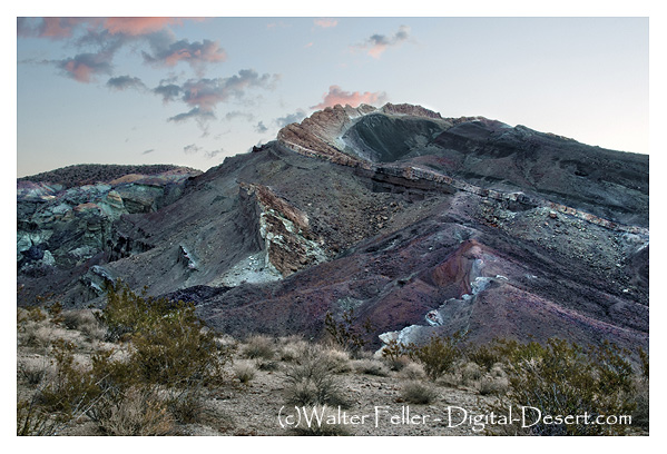
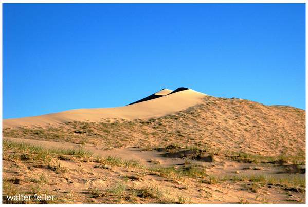
To many people, the desert looks still and silent. They see rocks, dry washes, cliffs, playas, distant mountains, and open ground. However, geology reveals that the desert is not still at all. It is the result of movement, pressure, heat, erosion, faulting, volcanism, uplift, and time. Every ridge, canyon, lava flow, terrace, wash, spring, and fault scarp has a reason for being there. While the land may not speak plainly, it leaves evidence.
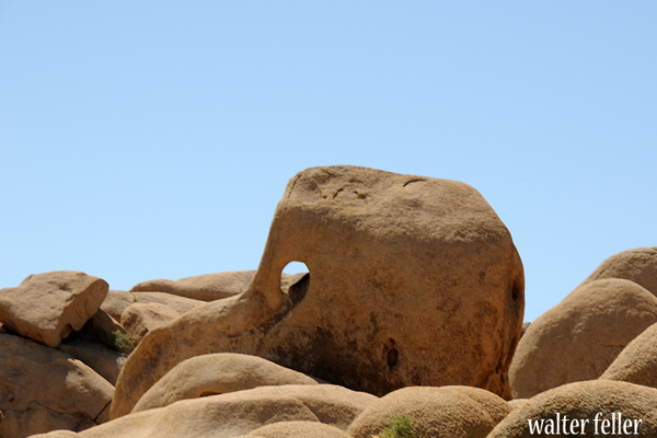
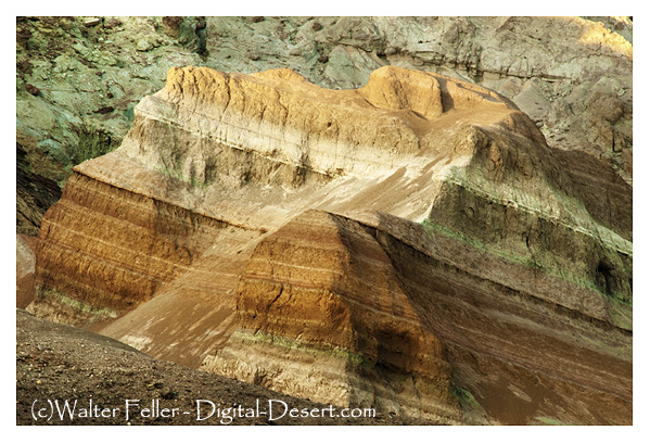
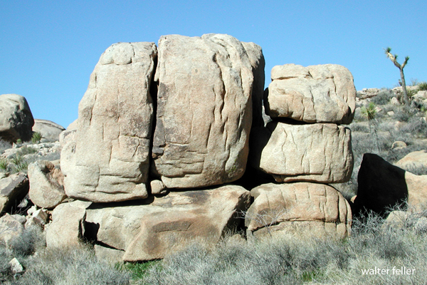
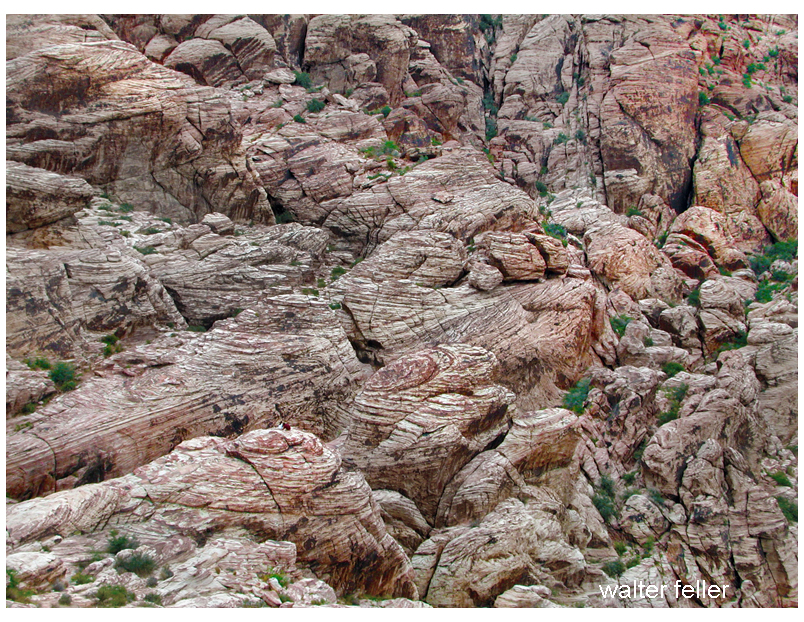
That is one reason geology appeals to me. It is based on visible proof. A geologist can look at a cliff face, a broken hillside, a tilted layer of rock, a dry lakebed, or a mine dump and begin to understand what happened. The evidence may be old, weathered, scattered, or partly hidden, but it is still there. Geology rewards careful observation. It asks a person to slow down, look closely, compare patterns, and respect what the land is showing.
For about nine years, I wandered and explored the desert simply by going out there. I moved from one point of interest to another, mostly staying to myself. Instead of following a formal course or guided route, I learned by looking, walking, comparing places, and remembering what I had seen. A canyon led to a spring. A spring led to a wash. A wash led to a road. A road led to a mine, a pass, a dry lake, or a faulted hillside. Over time, the separate places began to connect, further deepening my understanding.
That kind of wandering gave the desert time to teach me. I was not trying to master it all at once. Some places made sense right away. Others stayed confusing until I saw another place that explained them. Over time, the desert became less like a collection of isolated sites and more like one connected landscape.
In making these connections, I began to see that geology and history both seek to explain the past, but in different ways. History asks who came through a place, what they did, what they called it, and what they left behind. Geology, in contrast, asks deeper questions: Why is this pass here? Why did the river cut through at this place? Why did the lake disappear? Why was ore found in this mountain and not another? Why did a spring appear along one route and not another? Ultimately, human history depends on the shape and structure of the earth beneath it.
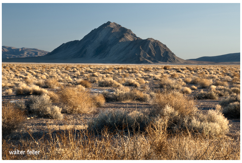
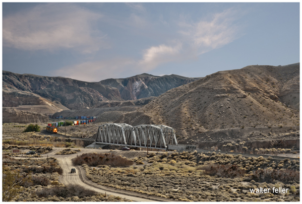
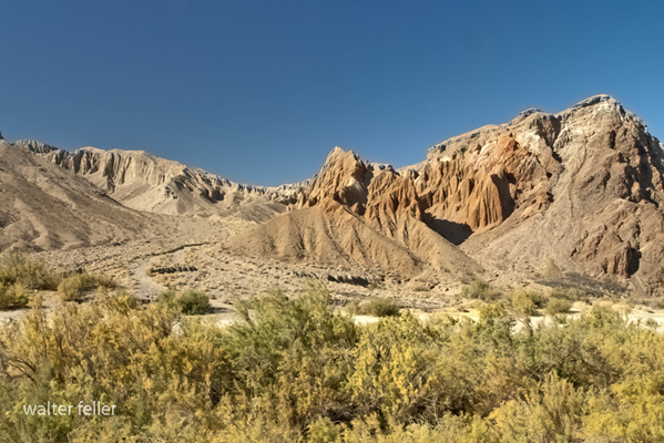
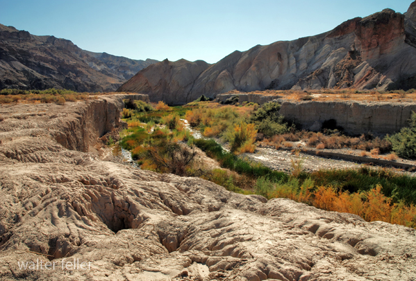
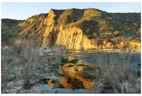
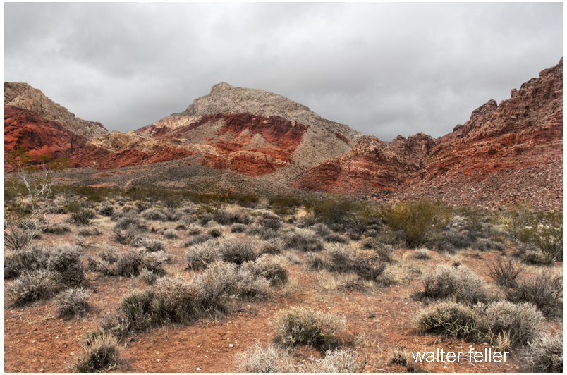
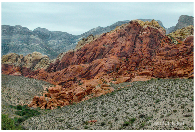
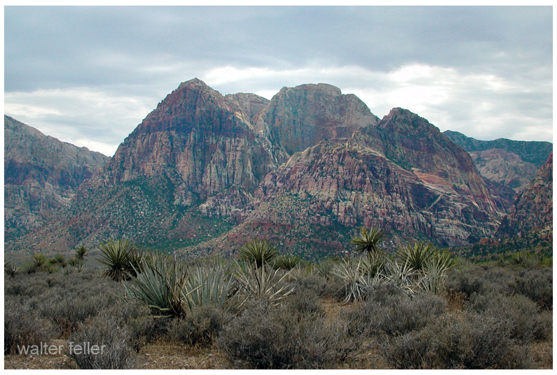
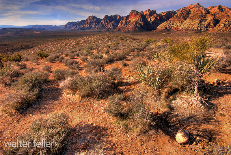
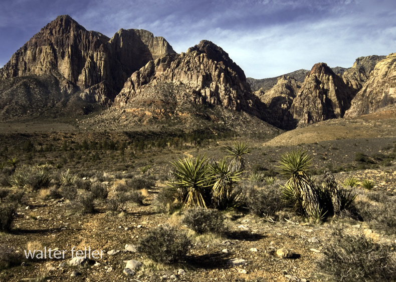
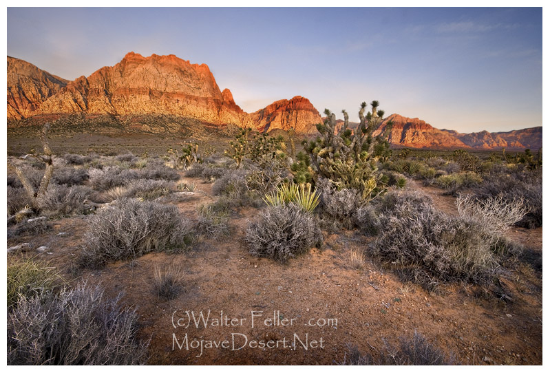
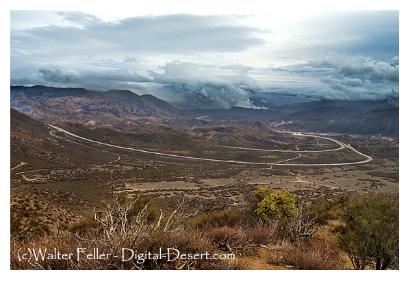
This is especially true in the Mojave Desert. The Mojave is a land of corridors, barriers, basins, mountains, playas, springs, faults, and washes. People did not move across a blank map. They followed water, passes, dry lake margins, river channels, and openings between ranges. Trails, wagon roads, railroads, highways, mining camps, and towns were all influenced by geology. To understand the Mojave well, a person has to understand the ground.
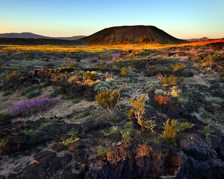
Geology also explains why the desert can feel so old. Human history may reach back a few hundred or a few thousand years, but geology reaches into deep time. It deals with ancient seas, vanished lakes, old volcanoes, buried rivers, moving faults, and mountains worn down and raised again. It reminds us that the land existed long before us and will remain long after us. That perspective gives the desert dignity.
I admire geologists because they know how to read the earth without needing it to speak plainly. They can stand before a canyon wall, a fault zone, a lava field, or a dry lake and see more than scenery. They see time, force, sequence, and evidence. They understand that the land is not random. It has structure. It has a history. It has a record, even when that record is difficult to read.
I also admire the dedication and discipline geology requires. It is not casual work. It takes field study, maps, measurements, samples, notes, old reports, and comparison. A geologist must be willing to walk rough ground, endure heat and distance, and keep looking when the answer is not obvious. The earth does not reveal its story all at once. Understanding comes one observation at a time.
That kind of work requires humility. A good geologist cannot force the land to fit an easy explanation. The evidence has to lead. If the rocks say one thing and the theory says another, the theory must change. That respect for facts is one of the strongest parts of geology. It is disciplined curiosity. It combines imagination with restraint.
The Desert Studies Center at Zzyzx belongs in this story because it represents desert study put into practice. With this focus shifting from theory to place, it is a center where students, teachers, and researchers can go into the Mojave itself and learn directly from the land. Set near Soda Dry Lake, at the end of the Mojave River system, it stands in one of the best natural classrooms in the desert.
That setting matters. Around Zzyzx are dry lake beds, springs, salt flats, rocky slopes, volcanic features, desert plants, old shorelines, and evidence of water, heat, faulting, erosion, and long-term change. A person studying there is not learning geology only as an abstract subject. He is standing inside the evidence.
The Desert Studies Center also shows why geology requires discipline. Field science is not guessing from a distance. It means walking the ground, taking notes, checking maps, and comparing what is seen with what has been written. That is the kind of work I admire. It takes order and respect for facts.
In that sense, Zzyzx is more than a place on the map. It serves as a bridge between curiosity and discipline, and as a living example of how the Mojave Desert continues to be studied and interpreted. The Desert Studies Center turns admiration for geology into practical learning. Connecting students and researchers directly with the land shows that the desert itself remains the best teacher.
Geologists also help preserve meaning in places that might otherwise be overlooked. A dry wash is not just a wash. A playa is not just a flat place. A fault is not just a crack. A mine is not just a hole in the ground. Building on this, each one belongs to a larger story. Geology connects small details to big forces. It turns scattered features into a pattern.
That is why geology makes the desert understandable. Instead of seeing emptiness, geology reveals the bones and memory of the landscape. The Mojave is not barren, but layered with evidence of violence, patience, age, movement, and history. Geology’s explanation brings order and beauty to the surface, grounded in the evidence it preserves.
I like geology because it deepens every desert visit. Once you begin to see the land geologically, ordinary places become more interesting. A roadcut becomes a lesson. A wash becomes a process. A spring becomes a clue. A mountain front becomes evidence of movement. A dry lake becomes the trace of a vanished world.
Most of all, I like geology because it sharpens attention and deepens understanding. Geology rewards patience, discipline, and respect for the past. It reminds us that the earth has a story older than our own, and the Mojave Desert, far from being empty, vividly displays that story. With geology, the desert becomes readable and meaningful.