Transmogrification, though it carries a slightly literary, almost mythic tone, suggests not just change but a deep and strange transformation into something fundamentally different.
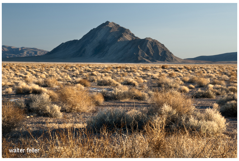
For much of its recorded history, the Mojave Desert was primarily understood as a physical region. Its identity arose from terrain and climate. Dense or permanent human occupation played little role. Early travelers, surveyors, geologists, and writers described it using the language of the landform. They noted broad basins, isolated mountain ranges, dry lakes, volcanic fields, alluvial fans, dunes, washes, and the intermittent course of the Mojave River. The desert was seen as a geographical system. Uplift, erosion, aridity, and distance formed it. Its boundaries were often indistinct. The Mojave was not yet a tightly organized human landscape. It was seen as open country, with character shaped by the land’s form.
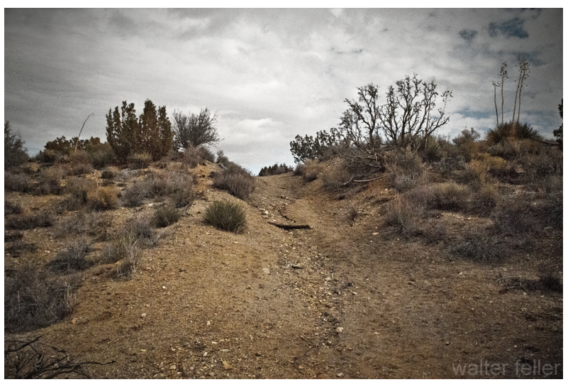
In that earlier conception, geography imposed limits upon people. Travel followed springs, canyon mouths, and natural passes through the mountains. Camps and settlements clustered where water permitted survival. Roads bent around lava flows, crossed playas, or traced older Indigenous routes refined over generations of movement through the desert. Human activity existed within conditions dictated by climate and terrain. The desert remained the dominant force, and people adapted themselves to it.
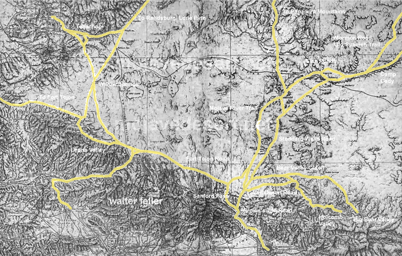
Even with these earliest permanent intrusions, the long-standing dynamic between people and landscape was not immediately overturned. Mining camps rose and disappeared as ore deposits and water supplies fluctuated. Wagon roads faded when springs failed. Small railroad towns appeared abruptly but often remained fragile in the face of the scale and hostility of the surrounding landscape. Much of the Mojave still retained the appearance of a place shaped principally by geology rather than by civilization.
Over time, a shift occurred: the Mojave, once defined by natural systems, increasingly came to be structured around human needs. The first key shift came with railroads, which established artificial centers in previously insignificant locations—places that had mattered only as crossings or water stops. Afterward, elements like highways, aqueducts, transmission corridors, military reservations, utility infrastructure, suburban expansion, recreational development, industrial agriculture along the margins, and large-scale energy production continued this trend. These forces did not simply occupy the desert; they actively reorganized it.
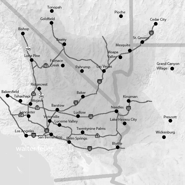
A modern map of the Mojave clearly reveals this shift: vast military boundaries now dominate entire valleys and mountain ranges. Meanwhile, interstate highways create strong directional corridors across what were once diffuse travel landscapes. Utility-scale solar developments, visible for miles, convert open basins into industrial energy fields. Transmission towers march across dry lakes and bajadas. Off-road recreation networks carve repeating tracks into fragile terrain. Finally, conservation areas and national preserves add another layer of organization by establishing access restrictions, managing habitats, providing tourism infrastructure, and developing preservation policies.
Increasingly, the Mojave is understood less through watersheds and landforms than through jurisdiction and use. One valley becomes associated with military training, another with renewable energy, others with recreation, habitat protection, logistics, or suburban expansion. This shift is reflected in the language used to describe the desert. Whereas earlier generations emphasized playas, volcanic mesas, spring systems, or mountain passes, modern discussions focus on renewable energy zones, conservation plans, transportation corridors, protected acreage, groundwater management, housing pressure, and recreational access.
Yet the older desert has not disappeared beneath these overlays. The geology remains the controlling framework beneath every human system. Basin-and-range topography still governs drainage and movement. Mountain ranges still create rain shadows and isolate valleys. Heat still limits settlement density. Water scarcity still defines possibility. Dry lakes still gather runoff after storms, just as they did centuries ago. In many places, the desert resists permanent transformation. Every generation is reminded that the underlying landscape remains older and more powerful than any system laid upon it.
Building on these evolving layers of meaning, what has changed most is not simply the Mojave’s physical appearance but its significance. The desert has shifted in its conceptual role: initially perceived as a natural form, then as a landscape of use, and now increasingly as a landscape of negotiation.
The central question is no longer merely “What is the Mojave?” but “What is the Mojave for?” Different groups now approach the same landscape with competing visions: energy developers see open basins suitable for solar fields and transmission infrastructure; conservationists see fragile ecosystems, migration corridors, and biological continuity; tribes see ancestral homelands, sacred sites, and cultural memory in the terrain itself. The military sees strategic training space, defined by isolation and open airspace, while residents see communities and livelihoods. Recreationists seek freedom, mobility, solitude, and escape, while cities beyond the desert offer land, water, transportation routes, and energy supplies.
As these pressures intensify, nearly every part of the Mojave acquires overlapping claims—emptiness itself becomes contestable. Open land is no longer simply open; instead, it becomes designated, managed, leased, protected, restricted, industrialized, or defended. Consequently, the future Mojave is likely to be shaped not by a single activity, but by tensions among many competing systems, all operating simultaneously across the same terrain.
In this evolving context, the Mojave is entering a third historical phase. Initially, it was defined by its physical landforms. Next, human activities and uses became the defining factors. Now, the Mojave’s identity may increasingly depend on negotiations and conflicts over its meaning, access, and purpose.
The old desert will still remain beneath these arguments. The playas will still whiten under summer heat. Winds will still sweep across creosote flats. Mountain ranges will still rise abruptly from broad basins at dusk. Seasonal floods will still cut across washes after sudden storms. The geological skeleton of the Mojave will endure. However, as human systems become more extensive and entangled, the experience and interpretation of the desert will continue to change.
The future Mojave will be governed as a layered landscape. No single authority will determine its fate: federal agencies will control vast public lands; counties will regulate roads, zoning, and development pressure; tribes will press claims rooted in sovereignty, memory, and sacred geography; energy and mining companies will seek permits, leases, and corridors; conservation groups will defend habitat and species; recreationists will demand access; and residents will argue for the right to live within the desert, not just be managed from outside. In light of these overlapping interests, governance will become less about drawing boundaries and more about arbitrating between claims. The desert will be administered through plans, lawsuits, permits, consultations, closures, leases, and exceptions. Its future will not be decided all at once; instead, it will be determined valley by valley, corridor by corridor, and project by project.
The Mojave functions as both an ancient physical landscape and a modern human one. While it is no longer shaped solely by tectonics, erosion, and climate, it is no longer defined solely by railroads, highways, military reservations, and energy development. Increasingly, the desert is formed by negotiations over how such a landscape should exist. Thus, what once was defined by its form is now shaped by the competing meanings people assign to it.