A Barstow Narrative

Barstow, California, from the 1870s through the present, with all key details preserved and arranged chronologically:


Barstow stands today at the center of the Mojave Desert’s long story of ranching, mining, railroads, and highways. Its history reflects the layered development of the Mojave River corridor, where water, transportation, and enterprise have drawn people across the desert for more than a century and a half.
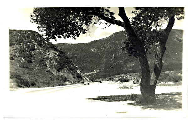
Mojave River

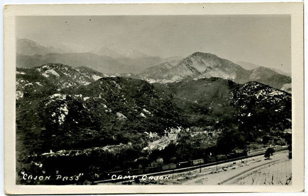
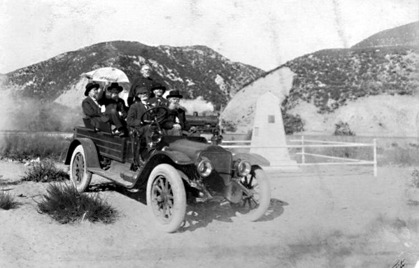
In the years following the Civil War, the upper Mojave River region supported a few scattered cattle ranches and wagon stations. Before Barstow existed, the country between Oro Grande and Daggett was known for its open range and desert pastures. Herds were grazed along the Mojave River, using its shallow pools, seeps, and hand-dug wells. During the 1870s and 1880s, ranchers moved stock between the high country of the San Bernardino Mountains and the desert valleys, following trails that paralleled the river. Stations at places such as Lane’s Crossing and Fish Ponds served as watering points for stock and travelers. As the Santa Fe Railroad advanced across the desert, freight access to distant markets encouraged limited agriculture along the riverbanks. By the early 1900s, alfalfa, grain, and small orchards appeared in Victor Valley, and a few experimental plots extended downstream toward Barstow. The Arrowhead Reservoir and Power Company began purchasing riparian tracts between Victorville and Barstow to secure water rights, recognizing that the Mojave River would control the future of settlement. Though the arid climate limited cultivation, these early ranches and farms laid the foundation for the region’s first lasting economy before industry and highway travel arrived.

Fish Ponds

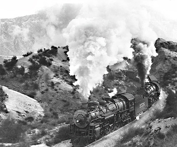
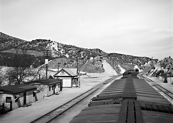
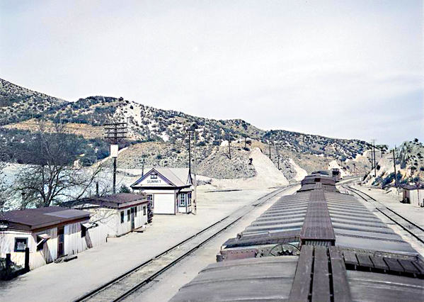
Barstow’s founding dates to the early 1880s, when the Atlantic & Pacific Railroad, later part of the Atchison, Topeka & Santa Fe system, pushed its line westward from Needles toward Mojave. In 1883, the mainline was completed across the desert, and a division point was established to centralize maintenance, crew changes, and fueling. This camp, called initially Waterman Junction, became the nucleus of Barstow. The town was renamed in 1884 for William Barstow Strong, president of the Santa Fe, and quickly became the railroad’s desert headquarters. Roundhouses, repair shops, and supply depots were built to serve the trains moving freight and passengers across the Mojave.

Santa Fe

While Barstow developed as a railroad town, the nearby community of Daggett became the milling and shipping center for the Calico silver mines. The Calico district boomed in the early 1880s, with more than a hundred mines producing ore that was hauled to Daggett for reduction and shipment east. In 1898, a short branch line was built from Daggett to Calico to carry ore directly to the Santa Fe main line. This small spur improved mining transport but did not found Barstow; the town was already well established as a division headquarters long before. Barstow’s location on the main transcontinental line—roughly midway between San Bernardino and Needles—gave it strategic importance that would outlast the mining booms around it.

Daggett, CA

As the 1890s ended and silver prices dropped, mining declined, but the railroad presence ensured Barstow’s survival. The town expanded with railroad housing, stores, and services for workers and travelers. The Mojave River valley became a modest agricultural district, producing hay, fruit, and dairy products for local use. By 1910, Barstow had schools, churches, and small businesses serving both rail employees and the surrounding ranch country.

Casa del Desierto, Harvey House

In 1911, the Fred Harvey Company constructed the Casa del Desierto, a grand Mission Revival depot and Harvey House that brought elegance and permanence to the desert town. The building served as a hotel, restaurant, and railroad office, offering travelers comfort along the route between Los Angeles and the Colorado River. It quickly became Barstow’s social center and symbol of progress. The Santa Fe expanded its shops, roundhouse, and yards, reinforcing the town’s position as a key maintenance and operating base.

El Garces, Harvey House

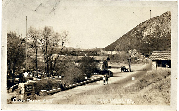
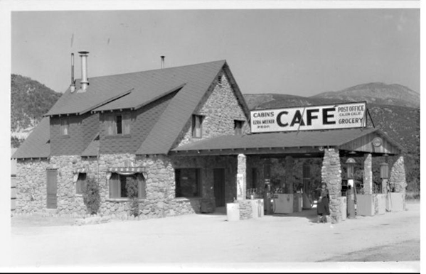
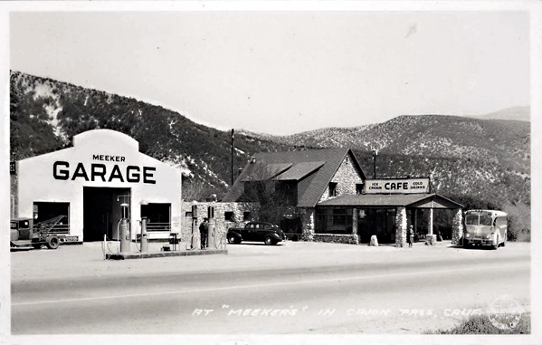
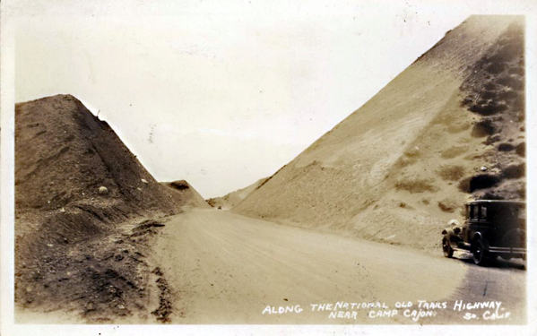
At the same time, the automobile age arrived. The National Old Trails Highway followed the corridor of the railroad, and by the 1920s, U.S. Route 66 brought a steady stream of motorists through town. Gas stations, garages, and cafes appeared along the main street, which paralleled the railroad tracks. Barstow became a vital service stop for travelers crossing the Mojave Desert, bridging two eras of transportation—steam and motor—and transforming from a company town into a crossroads community.

Route 66

The Great Depression slowed new growth, but Barstow endured. The flow of automobiles along Route 66 kept the economy alive, while the railroad continued to carry freight and passengers across the desert. By the late 1930s, the town’s main street was lined with motor courts, diners, and filling stations.

Yermo, CA

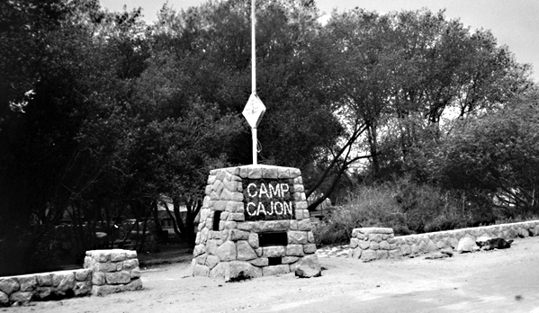
World War II brought another surge of activity. Barstow’s location on both the Santa Fe main line and Route 66 made it ideal for military supply and logistics. The Marine Corps established the Nebo Depot just west of town, handling ordnance and supplies for the Pacific war effort. Additional facilities at Daggett and Yermo supported troop movements and desert training exercises. Troop trains, fuel convoys, and war freight filled the region, and the population grew rapidly as railroad workers, servicemen, and civilian contractors arrived.

Calico Ghost Town

By the late 1940s, Barstow had become the true hub of the Mojave. Mining had faded, but rail, highway, and military operations kept the town busy. Route 66 was in its prime, bringing travelers east and west through a landscape alive with neon lights and the constant hum of engines. Barstow’s economy rested on three pillars: the Santa Fe Railroad, the Marine base, and the steady flow of cross-country traffic.

After the war, the new interstate system reshaped the desert. The Marine Corps Logistics Base at Nebo expanded during the 1950s, and the Yermo Annex was developed for vehicle storage and repair. Together, they became major employers for the region. Barstow’s population grew as families settled near the base, supported by trucking companies, service stations, and small industries. Route 66 reached its height during this period, and Barstow’s main street glittered with motels, diners, and bright neon signs welcoming motorists.

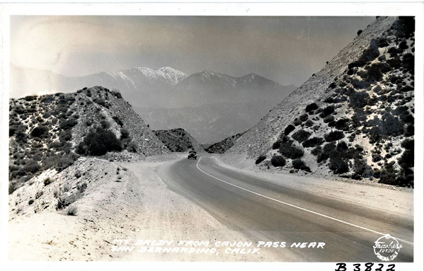
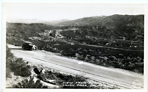
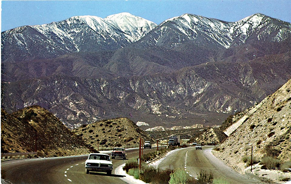
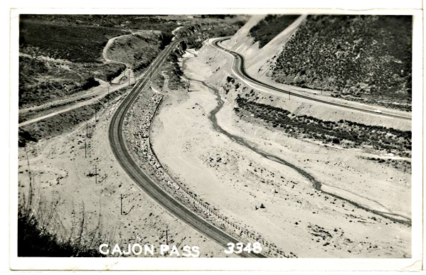
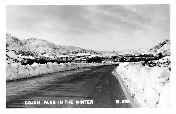
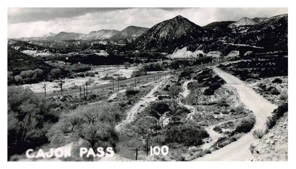
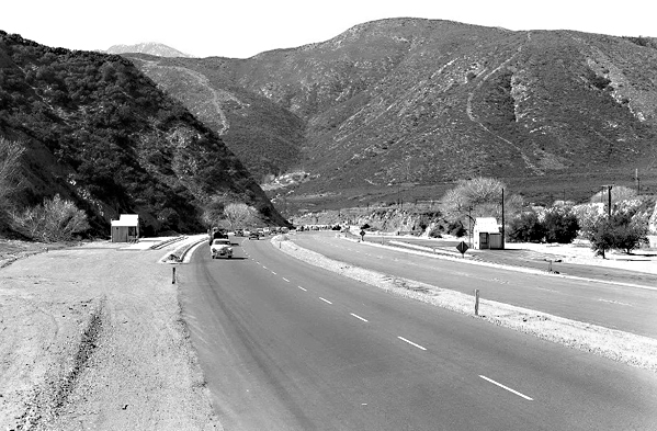
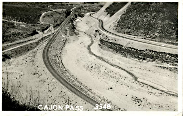
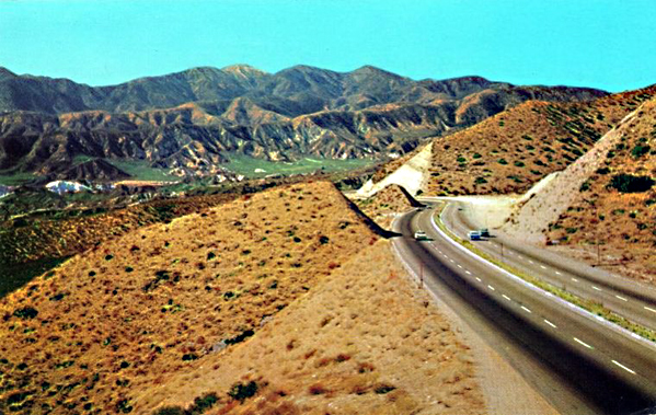
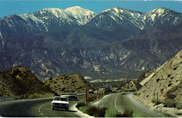
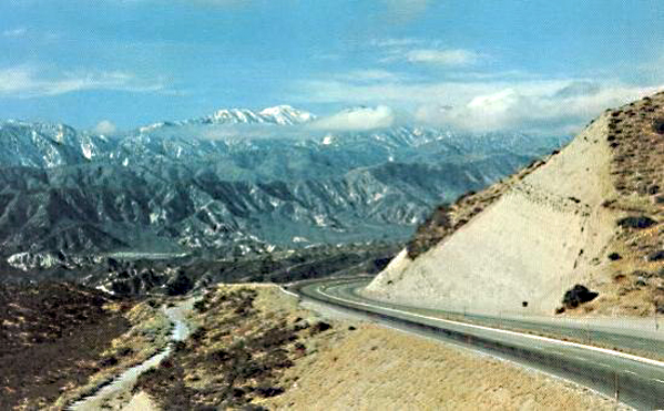
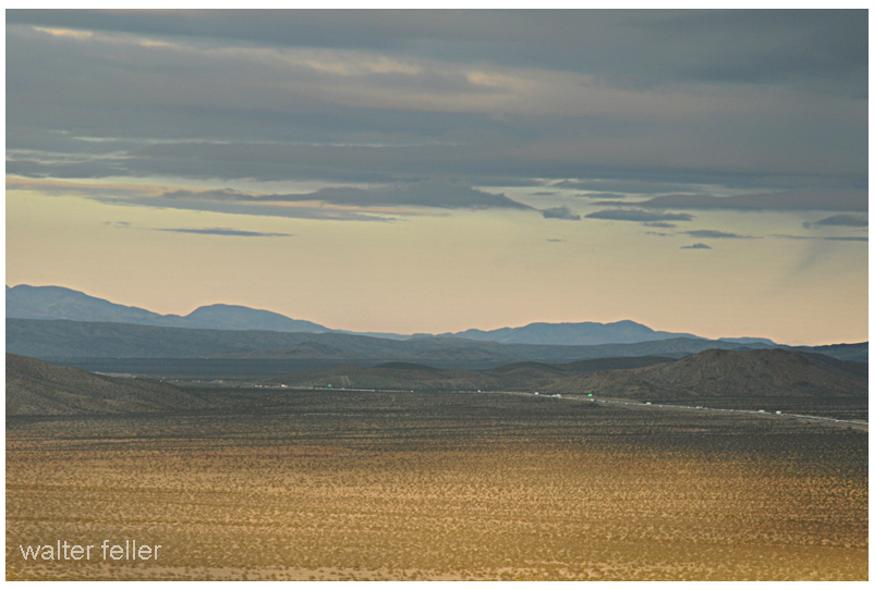
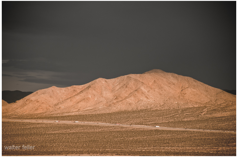
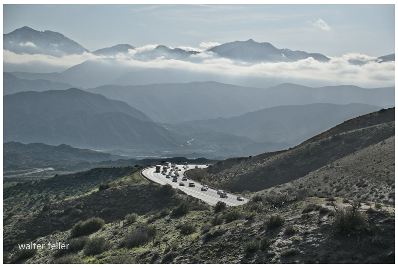
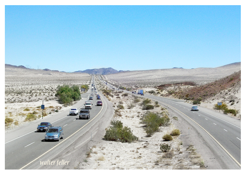
Interstate 15 Freeway

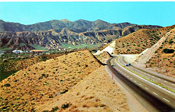
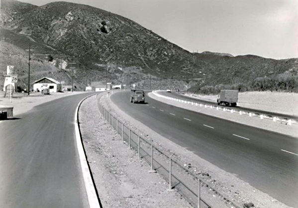
By the late 1960s, however, the new Interstate 15 and Interstate 40 began to bypass the older downtown route. Travel patterns shifted, and many classic roadside businesses declined. Still, the same geography that had favored Barstow from the start—its place at the meeting of routes—kept it alive. The Santa Fe Railroad remained one of the town’s largest employers, operating extensive classification yards. The Marine bases continued their vital supply missions, and long-haul trucking replaced some of the lost highway trade.

Harvey Girls

Through the 1970s, Barstow adapted to the new interstate era. Truck stops and logistics centers replaced many of the old motor courts. Route 66, though decommissioned later, remained a nostalgic symbol of the town’s mid-century heyday. The Casa del Desierto depot closed in 1973 when passenger rail service declined, but the building survived. Preservation efforts during the 1980s and 1990s restored it as a civic landmark housing the Western America Railroad Museum and the Route 66 Museum offices. The restored depot reopened to the public, honoring the legacy of the Harvey Girls and the long railroad heritage that gave the town its start.

Forks in the Road

Today, Barstow continues to serve as the crossroads of the Mojave Desert. It stands at the junction of Interstates 15 and 40, serving travelers, truckers, and freight moving between Southern California and the interior West. The BNSF Railway, successor to the Santa Fe, operates one of its largest freight classification yards in town, handling thousands of cars daily. The Marine Corps Logistics Base remains a major employer, linking Barstow to the modern defense and transportation economy.

Though much has changed, the pattern remains the same. The Mojave River still winds below the town, the rails still hum with freight, and the highways still carry travelers across the vast desert plain. Barstow’s story—from cattle ranching and mining to railroads and freeways—reflects the larger history of the Mojave itself: a land shaped by endurance, movement, and the constant meeting of past and present at the desert’s enduring crossroads.
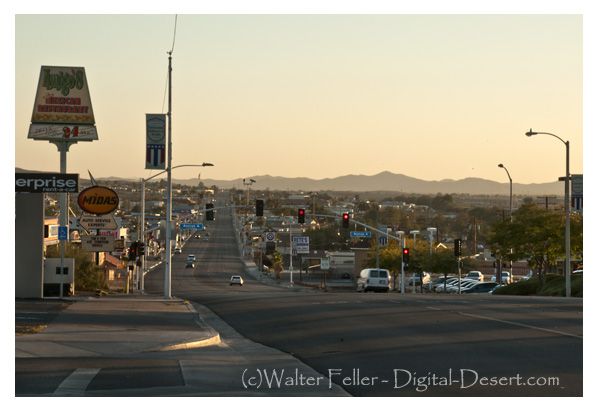
Barstow, CA.


References and Supporting Sources

  1. Brown, John. History of San Bernardino and Riverside Counties. Los Angeles: Western Historical Association, 1922.
    • Primary descriptions of Mojave River water rights, Daggett and Calico mining activity, and railroad development through Barstow.
  2. Myrick, David F. Railroads of Arizona, Volume I: The Southern Roads. Howell-North Books, 1975.
    • Detailed coverage of the Atlantic & Pacific (Santa Fe) construction, Waterman Junction establishment, and early Barstow operations.
  3. Worman, C. Frank. Santa Fe’s Desert Division. Santa Fe Railway Historical Society Bulletin, 1949.
    • Background on Barstow’s role as a division point, maintenance hub, and Harvey House center.
  4. Thompson, David. Route 66: Across the Mojave Desert. Mojave River Valley Museum Press, 1987.
    • Documentation of the highway’s alignment through Barstow, roadside commerce, and mid-century travel culture.
  5. Mojave River Valley Museum Archives. Barstow Historical Collection.
    • Local materials on ranching, early settlement, and photographs of the Casa del Desierto and Route 66 period.
  6. Marine Corps Logistics Base, Barstow. Historical Overview and Command Chronology. U.S. Marine Corps Archives.
    • Details on Nebo Depot and Yermo Annex development during and after World War II.
  7. U.S. Department of Transportation, Federal Highway Administration. Interstate System in California: Desert Corridors Report, 1974.
    • Analysis of Interstate 15 and 40 construction and their impact on Barstow’s highway economy.
  8. Mojave Desert Archives, Digital Desert Project. Barstow: Rail, River, and Road Chronology.
    • Synthesized regional materials integrating historical, geographical, and transportation data for Barstow and the surrounding Mojave River corridor.

Rare Earths

Mountain Pass, California, is an unincorporated community in San Bernardino County near the Nevada border along Interstate 15. It lies on the south flank of the Clark Mountain Range at about 4,730 feet in elevation. Before its transformation into a rare earth mining hub, Mountain Pass was part of a high desert rangeland used for cattle grazing and seasonal travel.

mountain pass rare earths mine

In the late 1800s, ranchers from Ivanpah and the Mojave River region grazed cattle along the area’s sparse grasslands and natural springs. By the early 1900s, a few homesteads, corrals, and line camps appeared, but permanent settlement was limited due to aridity and isolation. The nearest centers of activity were Cima and Ivanpah, tied to the Union Pacific line.

During the 1920s and 1930s, open-range ranching declined as highway construction and mineral exploration expanded. U.S. Highway 91, built through Mountain Pass in the 1930s, connected Barstow and Las Vegas and reshaped movement across the desert. Prospectors began testing local outcrops for copper, fluorspar, and uranium.

In 1949, while searching for uranium, geologists discovered bastnasite—a mineral rich in rare earth elements. By 1952, Mountain Pass Mine was in production, marking the shift from ranching to mineral extraction. The mine’s bastnasite ore, containing about 7% rare-earth oxides, proved exceptionally rich. Throughout the 1960s, 1970s, and 1980s, Mountain Pass supplied most of the world’s rare earth elements, which are critical for electronics and defense.

Environmental concerns and global competition, particularly from China, led to a decline in the 1990s. A series of wastewater pipeline spills and stricter regulations led to the closure in 2002. Molycorp reopened the site in 2010 but went bankrupt in 2015. MP Materials acquired it in 2017 and restarted production, now emphasizing on-site recycling and domestic refining. Mountain Pass currently produces 10–15 percent of global rare earth supply and remains the only major U.S. operation of its kind.

Timeline:

Late 1800s – Early cattle grazing begins between the Clark and Mescal Ranges.
1890s–1910s – Small ranchers and homesteaders establish corrals and wells near Cima and Ivanpah.
1920s – Ranching continues; U.S. Highway 91 construction increases access.
1930s–1940s – Grazing declines; mineral prospecting grows.
1949 – Bastnasite discovered while prospecting for uranium.
1952 – Mountain Pass Mine begins rare earth production.
1960s–1980s – Peak years; mine supplies most of the world’s rare earth elements.
1980s–1990s – Environmental issues and foreign competition led to a decline.
2002 – Mine ceases operations.
2010 – Molycorp reopens the mine.
2015 – Molycorp declares bankruptcy.
2017 – MP Materials resumes production.
2020s – Expansion of domestic processing and magnet manufacturing.

Mountain Pass stands as a symbol of changing desert economies—from open-range cattle country to strategic mineral industry—each era leaving its own traces: windmills, corrals, and open pits scattered across the Mojave’s high desert plain.

Cajon Pass in Southern California

/cajon-pass/

The Cajon Pass is a significant geographical feature located in Southern California, United States. It is a mountain pass in the San Bernardino Mountains, part of the Transverse Ranges in Southern California. The pass is approximately 60 miles (97 kilometers) east of Los Angeles and is a crucial transportation corridor in the region. Here are some key points about the Cajon Pass:

Geographical Location: The Cajon Pass is in San Bernardino County, California. It is part of Interstate 15, which connects the cities of San Bernardino and Victorville in the south to the High Desert region and beyond to Las Vegas, Nevada, in the north.

Transportation: The pass is a critical route linking the densely populated Los Angeles metropolitan area with the desert and the southwestern United States. It serves as a major route for both passenger and freight transportation. Numerous vehicles and freight trains pass through the Cajon Pass daily.

Elevation: The Cajon Pass rises to an elevation of approximately 3,800 feet (1,160 meters) above sea level. This elevation change is significant, and it makes the pass an important point in the regional geography.

Natural Scenery: The Cajon Pass offers stunning natural scenery with its rugged terrain, including rocky cliffs and slopes. It is a popular spot for hiking and outdoor activities, providing beautiful views of the surrounding landscapes.

Historical Significance: The pass has historical significance as it was used by Native American tribes, Spanish explorers, and early settlers. In the mid-19th century, it became a vital transportation route for wagon trains during the California Gold Rush.

Climate: The climate in the Cajon Pass can vary significantly with the seasons. It can experience hot summers and cold winters, and snowfall is common during winter, impacting transportation through the pass.

Wildlife: The region surrounding the Cajon Pass is home to various wildlife, including desert bighorn sheep, often seen in the area.

Infrastructure: To facilitate transportation through the pass, major highways and rail lines traverse it. These include Interstate 15, California State Route 138, and numerous rail lines used for freight transportation.

Geological Activity: The Cajon Pass is located in an area with geological activity, including the presence of the San Andreas Fault. Earthquakes are a potential natural hazard in this region.

Recreational Opportunities: Besides its transportation importance, the Cajon Pass offers recreational opportunities, including hiking, rock climbing, and wildlife viewing for outdoor enthusiasts.

Overall, the Cajon Pass plays a significant role in the transportation infrastructure of Southern California, linking the metropolitan areas to the High Desert and beyond while also providing a natural setting for outdoor activities and appreciation of the region’s unique geography.

History

The history of the Cajon Pass is rich and significant, with a timeline that spans many centuries. Here is an overview of the historical events and developments related to the Cajon Pass:

Indigenous Peoples: Long before European settlers arrived in the region, the Cajon Pass was inhabited by indigenous peoples, including the Serrano and Tongva tribes. These Native American groups used the pass as a natural corridor for trade and travel.

Spanish Exploration: In the late 18th century, Spanish explorers, including Father Francisco Garces and Juan Bautista de Anza, passed through the Cajon Pass during their expeditions into California. The Spanish established a presence in California, and the pass was an important part of their transportation network.

Early American Settlement: As California transitioned from Spanish to Mexican rule and eventually became part of the United States, pioneers and settlers used the Cajon Pass as they headed westward during the westward expansion period of the 19th century. It was a crucial route for wagon trains and the Butterfield Overland Mail Stagecoach Line, facilitating westward migration.

California Gold Rush: The discovery of gold in California in 1848 led to a rush of people seeking their fortunes. Many gold seekers, known as “forty-niners,” passed through the Cajon Pass on their way to the goldfields in Northern California.

Railroad Development: The construction of the First Transcontinental Railroad in the 1860s further solidified the importance of the Cajon Pass. The Atchison, Topeka, and Santa Fe Railway, in particular, played a significant role in developing rail infrastructure through the pass, greatly facilitating trade and transportation in the region.

Modern Transportation: In the 20th century, the pass evolved as a transportation hub. The development of modern highways, including U.S. Route 66 and later Interstate 15, made the pass a vital link in the national highway system. It also became a major corridor for freight transportation.

Natural Hazards: The Cajon Pass is located in a seismically active region, and it has been affected by earthquakes throughout its history. Notably, the 1812 San Juan Capistrano Earthquake created a landslide in the pass, altering its geography.

Natural Beauty: Beyond its historical significance, the Cajon Pass has always been appreciated for its natural beauty and scenic vistas. Outdoor enthusiasts and hikers have enjoyed the pass’s rugged terrain and unique landscapes.

Cultural Significance: Over the years, the Cajon Pass has been featured in literature, music, and popular culture. It is often mentioned in songs and stories about Route 66 and the American West.

Today, the Cajon Pass remains a vital transportation link in Southern California, serving as a critical route for passenger and freight traffic. Its historical and cultural importance, as well as its stunning natural beauty, continue to make it a noteworthy part of the region’s heritage.

Geology

The geology of the Cajon Pass is a fascinating aspect of its natural history, and it plays a significant role in shaping the landscape and geological features of the region. The pass is located within the San Andreas Fault zone, which is one of the most well-known and active fault systems in California. Here are some key geological aspects of the Cajon Pass:

San Andreas Fault: The Cajon Pass is situated along the San Andreas Fault, which is a transform fault that marks the boundary between the Pacific Plate and the North American Plate. This fault system is responsible for the movement of tectonic plates and is associated with earthquakes in the region.

Fault Activity: The San Andreas Fault is known for its potential to produce significant seismic events. The movement of the Pacific Plate and North American Plate along the fault can result in earthquakes, and the Cajon Pass area is considered seismically active. This fault activity has influenced the landscape in the region over geological time.

Formation of the Pass: The Cajon Pass itself is a result of tectonic activity along the San Andreas Fault. Over millions of years, the fault has caused uplift and displacement, creating a gap or pass in the San Bernardino Mountains. This geological process has allowed for the formation of the pass as a natural transportation corridor.

Rocks and Geology: The geology of the Cajon Pass includes a variety of rock types, including sedimentary, metamorphic, and igneous rocks. The mountains surrounding the pass are composed of various types of bedrock, including schist, gneiss, and granite, which have been uplifted and exposed due to tectonic forces.

Topography: The pass features rugged terrain, steep slopes, and cliffs, which are the result of geological processes such as faulting, erosion, and uplift. These geological features create the distinctive landscape of the pass.

Erosion: Over time, erosion, primarily driven by wind and water, has shaped the topography of the Cajon Pass. It has also exposed rock formations and created canyons and valleys in the area.

Waterways: The pass has been influenced by the flow of water, with several small streams and washes running through it. These waterways have played a role in shaping the pass and the surrounding landscape.

Geological Study: The Cajon Pass is of interest to geologists and seismologists who study the San Andreas Fault and its activity. Understanding the geology of the pass and its fault systems is important for assessing earthquake hazards in the region.

The geological features and the presence of the San Andreas Fault make the Cajon Pass an area of both scientific interest and potential geological hazard. The ongoing study of its geology contributes to our understanding of the complex tectonic processes at work in Southern California and helps with earthquake preparedness and mitigation efforts in the region.

Railroad History

The history of railroads in the Cajon Pass is closely intertwined with the broader history of railroad development in the American West. The construction and operation of railroads through the Cajon Pass played a pivotal role in the economic growth and expansion of Southern California and the United States. Here’s an overview of the railroad history in the Cajon Pass:

Early Railroad Development: The first railroad to traverse the Cajon Pass was the California Southern Railroad, which was a subsidiary of the Atchison, Topeka, and Santa Fe Railway (AT&SF). Construction of this railroad began in the 1880s, with the goal of connecting San Diego with Barstow and the transcontinental rail network. The California Southern Railroad was the first to establish a rail link through the pass.

Competition and Expansion: Other railroads, including the Southern Pacific and Union Pacific, also sought to establish a presence in Southern California. This led to competition and further expansion of rail lines in the region, making the Cajon Pass a vital corridor for the movement of goods and people.

Completion of the Santa Fe Line: The AT&SF completed its line through the Cajon Pass in 1885, providing a direct route from Chicago to the Pacific Coast. This line played a significant role in the development of Southern California and the growth of cities like San Bernardino and Los Angeles.

Rise of San Bernardino: The city of San Bernardino, located at the western end of the Cajon Pass, became a major railroad hub and grew in importance as a transportation center. The city’s rail yards and facilities played a crucial role in the movement of goods and the transfer of passengers.

Engineering Challenges: Constructing and maintaining rail lines through the rugged terrain of the Cajon Pass presented numerous engineering challenges. Building tunnels, bridges, and track beds on steep slopes and rocky terrain required significant effort and ingenuity.

Decline of Passenger Rail: With the rise of automobiles and highways in the mid-20th century, passenger rail service declined. However, freight traffic through the Cajon Pass remained robust and continues to be a critical part of the nation’s transportation network.

Modern Rail Transportation: Today, the Cajon Pass remains a key transportation corridor for freight rail, with multiple rail lines running through it. The BNSF Railway (successor to the AT&SF) and Union Pacific are among the major railroads operating in the pass.

The history of railroads in the Cajon Pass reflects the broader history of American westward expansion and the role of railroads in opening up new territories, fostering economic growth, and shaping the development of cities and regions. The legacy of the railroads in the Cajon Pass continues to be felt in the transportation and economic networks of Southern California and the United States.

Historic Trails and Highways

The Cajon Pass has been historically significant as a transportation corridor. It has been traversed by several historic trails and highways that played crucial roles in the westward expansion of the United States and the development of Southern California. Here are some of the notable historic trails and highways that passed through or near the Cajon Pass:

Old Spanish Trail: The Old Spanish Trail was a historic trade route that connected Santa Fe, New Mexico, to California. It passed through the Cajon Pass, making it an important part of the trail network that facilitated trade between the Spanish colonies of the Southwest and California during the early 19th century.

Mojave Road: The Mojave Road, also known as the Old Government Road, was a 19th-century wagon route that crossed the Mojave Desert. It passed through the Cajon Pass and served as an important east-west transportation route for settlers, traders, and the U.S. military.

Mormon Pioneer National Historic Trail: The Mormon Pioneer Trail followed the path of Mormon pioneers who journeyed from the Midwest to the Salt Lake Valley in Utah during the mid-19th century. This trail intersected with the Mojave Road, which passed through the Cajon Pass, as Mormons traveled to California for trade and other purposes.

Santa Fe Trail: While the primary route of the Santa Fe Trail led to Santa Fe, New Mexico, it had several branches and alternative paths. The route connecting California to the Santa Fe Trail passed through the Cajon Pass and the San Bernardino Valley.

California Trail: The California Trail was a major emigrant trail used during the California Gold Rush in the mid-19th century. Many gold seekers and settlers traveling to California passed through the Cajon Pass on their way to the goldfields in Northern California.

National Old Trails Road: The National Old Trails Road was a transcontinental highway that passed through the Cajon Pass. It was established in the early 20th century and played a role in developing the American highway system.

U.S. Route 66: U.S. Route 66, often referred to as the “Main Street of America,” was a historic highway that connected Chicago to Los Angeles. It passed through the Cajon Pass, and its association with the pass contributed to the highway’s iconic status.

Interstate 15: Modern Interstate 15, which runs through the Cajon Pass, connects Southern California to Las Vegas and points north. It has become a vital part of the national highway system, carrying passenger and freight traffic.

These historic trails and highways were instrumental in opening up the American West, facilitating trade, settlement, and travel, and connecting various regions of the United States. The Cajon Pass’s strategic location as a natural transportation corridor made it a pivotal point on many of these routes, and its historical significance remains evident in the region’s cultural and transportation heritage.

Cajon Pass Geography

The Cajon Pass is a geological and geographical feature located in Southern California, United States. It is a mountain pass in the San Bernardino Mountains, which are part of the Transverse Ranges. The pass is situated approximately 60 miles (97 kilometers) east of Los Angeles and serves as a vital transportation corridor in the region. Here are some key aspects of the geography of the Cajon Pass:

Elevation: The Cajon Pass rises to an elevation of approximately 3,800 feet (1,160 meters) above sea level. This elevation change is significant, and it makes the pass a crucial point in the geography of the region. The pass transitions between the lowland areas to the west and the High Desert region to the east.

Location: The Cajon Pass is located in San Bernardino County, California, and it provides a natural passage through the San Bernardino Mountains, which are part of the larger Transverse Ranges mountain system.

Transportation Corridor: The pass is a critical transportation corridor, facilitating the movement of both passengers and goods. It is part of Interstate 15, which connects the cities of San Bernardino and Victorville in the south to the High Desert region and Las Vegas, Nevada, in the north. Several major highways and rail lines traverse the pass, making it a key component of the region’s transportation infrastructure.

Rugged Terrain: The Cajon Pass is known for its rugged terrain, including steep slopes, rocky cliffs, and canyons. The geology of the pass is influenced by the presence of the San Andreas Fault, which has caused the uplift and displacement of rocks in the area.

Natural Scenery: The pass offers stunning natural scenery, with panoramic views of the surrounding landscape. The rugged topography and diverse plant life in the region make it a popular spot for outdoor enthusiasts, hikers, and nature lovers.

Climate: The climate in the Cajon Pass can vary significantly with the seasons. It experiences hot summers and cold winters, and snowfall is not uncommon during the winter months. The geography of the pass, with its elevation changes, can lead to variations in weather conditions.

Waterways: The pass is intersected by various small streams and watercourses that drain into the Mojave River. These waterways have played a role in shaping the geography of the pass over time.

Wildlife: The region surrounding the Cajon Pass is home to various wildlife, including desert bighorn sheep, often seen in the area.

The Cajon Pass’s unique geography, with its elevation change, rugged terrain, and proximity to the San Andreas Fault, has made it a focal point for transportation and a picturesque destination for those seeking to explore the natural beauty of the San Bernardino Mountains and the surrounding areas in Southern California.

Natural Scenery

The natural scenery around the Cajon Pass is known for its rugged beauty, diverse landscapes, and stunning vistas. This region in Southern California offers a range of natural features and outdoor recreational opportunities. Here are some of the key elements of the natural scenery in and around the Cajon Pass:

Rugged Mountains: The Cajon Pass is surrounded by the San Bernardino Mountains, a rugged and picturesque range of mountains. These mountains consist of various types of bedrock, including schist, gneiss, and granite, which geological forces have shaped over time.

Rocky Cliffs and Slopes: The pass is characterized by rocky cliffs and steep slopes that have been shaped by erosion and tectonic activity. These geological features provide a dramatic backdrop for the pass.

Canyons and Gorges: The region features numerous canyons and gorges, which are often formed by the flow of water. These canyons add to the diversity of the landscape and provide opportunities for exploration and hiking.

Desert Flora: As you move farther east from the pass, you’ll enter the High Desert region of Southern California, characterized by a unique desert ecosystem. Joshua trees, yuccas, creosote bushes, and other desert plants are common in this area.

Mountain Flora: At higher elevations in the San Bernardino Mountains, you’ll find a different array of plant life, including coniferous trees such as pine and fir, as well as a variety of wildflowers that bloom in the spring.

Wildlife: The region is home to diverse wildlife, including desert bighorn sheep, coyotes, bobcats, and numerous bird species. The San Bernardino Mountains and the surrounding High Desert provide habitats for various animal species.

Geological Formations: The presence of the San Andreas Fault and the associated geological activity in the region has led to unique geological formations. These formations include fault lines, exposed rock layers, and uplifted terrain, which interest geologists and nature enthusiasts.

Panoramic Views: The Cajon Pass offers panoramic views of the surrounding landscape. Whether you’re driving along the highways or hiking in the area, you’ll have opportunities to enjoy breathtaking vistas of the San Bernardino Mountains and the High Desert.

Outdoor Activities: The diverse natural scenery in the region provides opportunities for outdoor activities such as hiking, rock climbing, birdwatching, and wildlife photography. The pass is a popular destination for outdoor enthusiasts.

Seasonal Changes: The scenery in the Cajon Pass changes with the seasons. Spring brings wildflower blooms, while the winter months can see snow on the mountains. Each season offers a unique and beautiful perspective on the landscape.

The natural scenery in and around the Cajon Pass is a testament to the diverse and dynamic landscapes found in Southern California. It offers various outdoor experiences for those who appreciate the beauty of the region’s geography and the opportunity to explore its natural wonders.