The Salt Lake Route, the Mojave River, and the Safer Passage of 1849
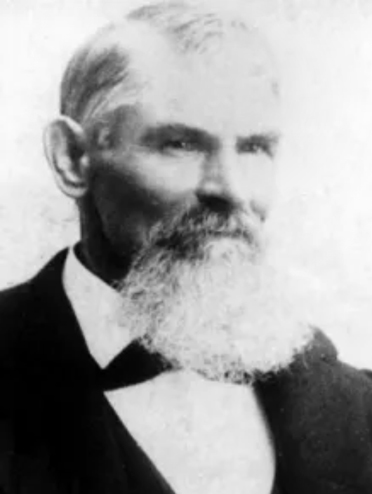
Walter Van Dyke, a young Cleveland lawyer, joined the 1849 rush to California. Reaching Salt Lake too late to cross the Sierra safely, he turned south with a guided party under Captain Jefferson Hunt. His account records the successful Salt Lake-to-Los Angeles route via the Old Spanish Trail, Santa Clara, the Virgin River, Las Vegas, the Mojave River, and the Cajon Pass. It is valuable for showing the southern road that worked, not the Death Valley disaster.
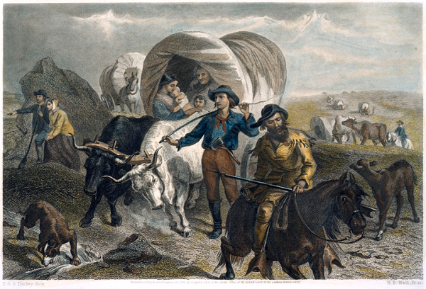
The California Gold Rush is often remembered as a westward rush: across the plains, over the Sierra Nevada, or around the Horn and through Panama. These routes shaped the classic Forty-niner image: ox-team emigrant, sea passenger, red-shirted miner, speculator, and gold-seeker. Stewart Edward White divided the movement into three channels: the Cape Horn voyage, the overland road, and the Panama route. The overland road drew hardier emigrants, whose property was wagons, livestock, and farm equipment. White also highlighted the heavy price: cholera, failed animals, abandoned wagons, alkali deserts, and exhaustion from the Humboldt and Sierra crossings. The ordeal was a “trial by fire.” Reaching California, in the end, changed the emigrant.
Yet the overland story was a web of routes, decisions, delays, guides, mistakes, and improvisations. The best-known road led to the Humboldt and the Sierra. By 1849, however, lateness changed everything. Those late to Salt Lake faced a hard choice: attempt the Sierra and risk disaster, winter in Utah, or turn south toward Los Angeles on the Old Spanish Trail—a safer but longer route. At this juncture, Van Dyke’s “Overland to Los Angeles, by the Salt Lake Route in 1849” proves valuable, as his party avoided Death Valley by joining Captain Jefferson Hunt’s guided movement south and west toward the Mojave River and Cajon Pass.
Van Dyke started as an ordinary gold seeker. He was recently admitted to the bar in Cleveland. In spring 1849, he joined a company and left for California via Chicago, Iowa, Council Bluffs, the Platte, Fort Laramie, the Sweetwater, and Salt Lake City. His plain, late-life recollection preserves a useful chronology: leaving Chicago on June 6. Crossing the Mississippi on June 18. Leaving the Missouri on July 24. Reaching Salt Lake City on October 8. Then, waiting as the season closed, the Sierra route. Like many emigrants, they were late. However, unlike many, they accepted the consequences. The Donner disaster was a fresh warning that still shaped their choices.
In Salt Lake, Van Dyke’s party learned from Mormons returning from the mines that crossing the Sierra before winter was impossible. While they hesitated, the Pomeroy brothers, Missouri traders, prepared to take livestock and freight wagons to Southern California. Consequently, the emigrants joined them and hired Captain Jefferson Hunt as a guide. This decision put Van Dyke’s party on a different road from most Forty-niners, making their success reliant on guidance, water, forage, and discipline—not speed.
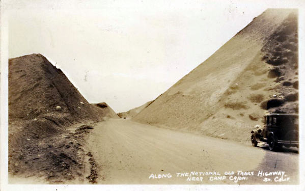
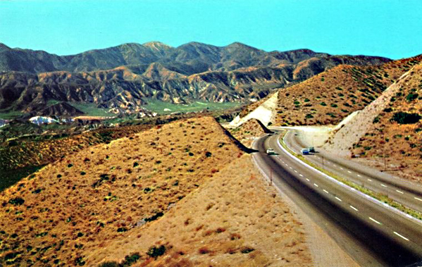
They left Salt Lake on 3 November 1849, heading south along the Wasatch. Near Utah Lake’s south end, they struck the Old Spanish Trail, which Van Dyke calls the northern route between Los Angeles and Santa Fe. This is important: the party did not create a new road, but entered an old corridor of travel, trade, and survival. They passed Spanish Fork, Sevier County, Mountain Meadows, Santa Clara, Virgin, Las Vegas, Mojave River, and Cajon Pass. The route was difficult but clear, with known camps, springs, river bottoms, and a familiar guide.
Van Dyke’s southern-route account should be read with the context provided by Will Bagley in Across the Plains, Mountains, and Deserts. Bagley’s bibliography demonstrates the scale of the overland documentary record: thousands of primary accounts, guidebooks, gazetteers, later wagon-travel sources, and secondary works. However, he warns that the California Trail’s southern route is less represented than the northern and central routes. This gap matters. Because of it, Bagley’s coverage is selective. He directs readers to Harlan Hague and Patricia Etter for more detail. This caution is important: Van Dyke is not just another emigrant reminiscence. For the Mojave and southern-route studies, he is a firsthand witness in a thin documentary field.
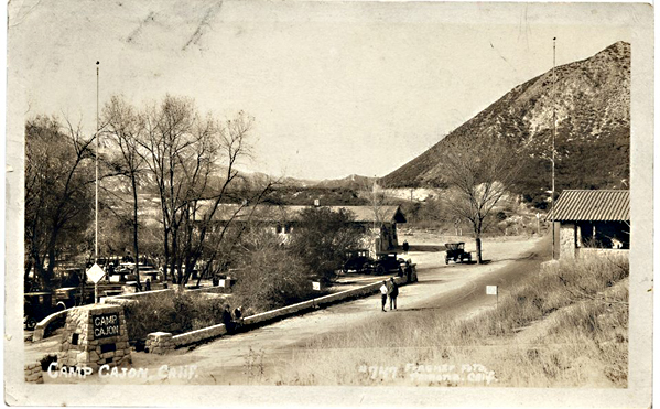
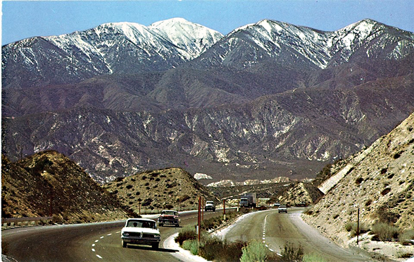
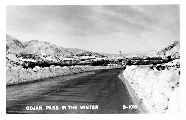
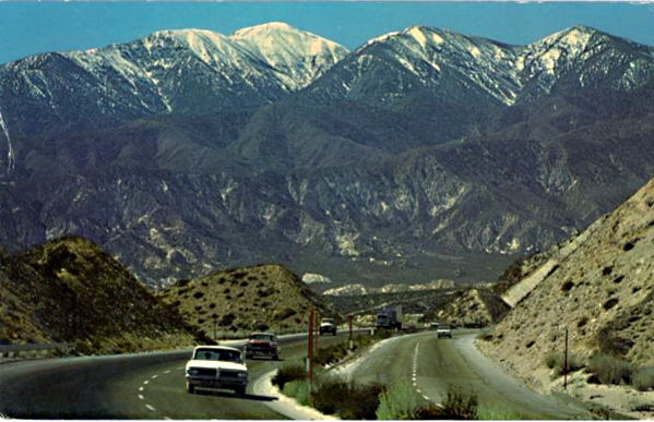
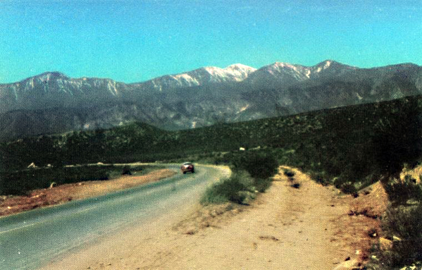
The contrast with White’s narrative is sharp. In his “Across the Plains” chapter, White spotlights catastrophic features: the Humboldt Sink, Sierra, broken wagons, dead animals, cholera graves, and emigrant trains collapsing under haste and poor preparation. Van Dyke’s account is different. There are hardships, hunger, snow, poor feed, and exhausted stock, but not disaster. The southern road remained challenging, not easy. The crucial distinction lay in route choice. By turning south, Van Dyke’s party exchanged the Sierra wall for a long desert road with intermittent water, warmer weather after Utah, and a descent through Cajon Pass into Southern California.
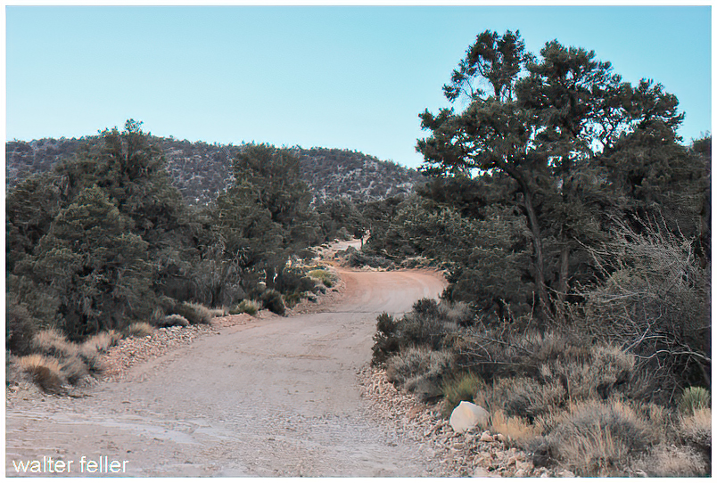
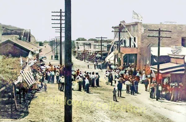
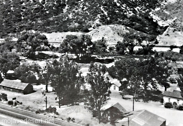
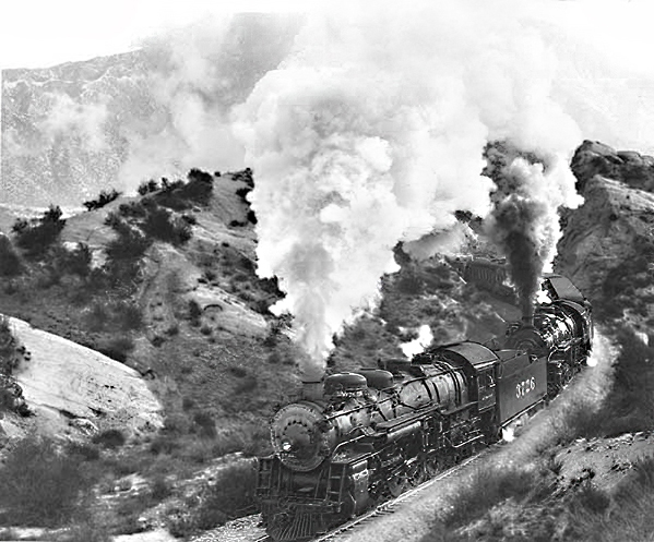
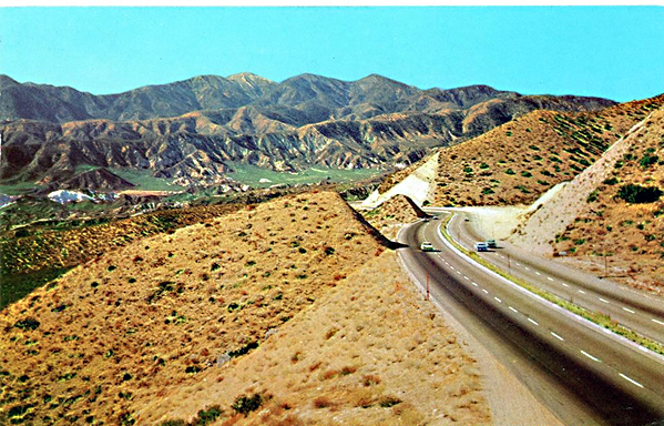
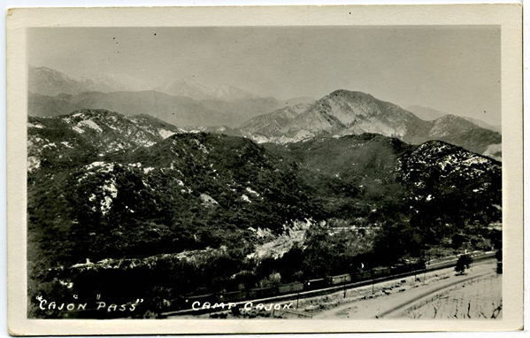
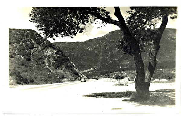
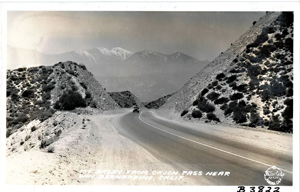
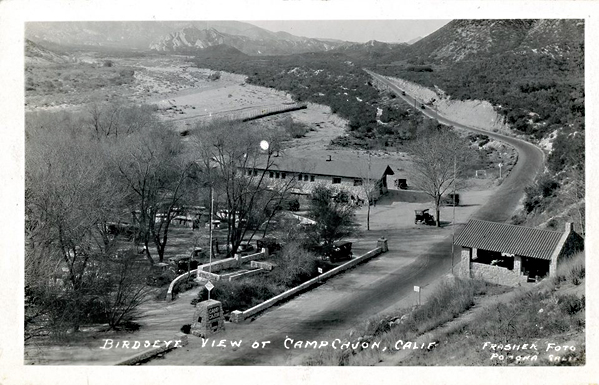
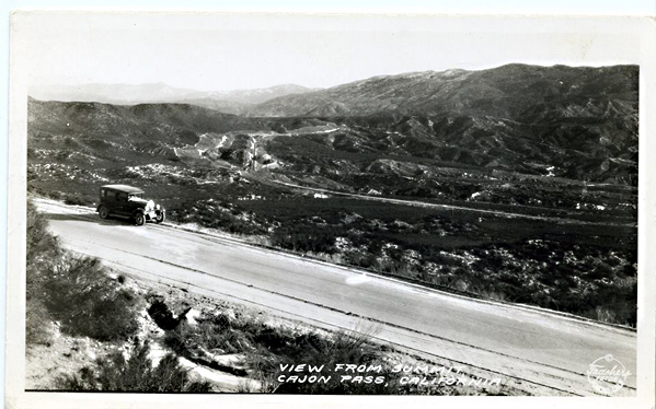
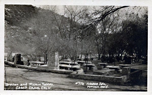
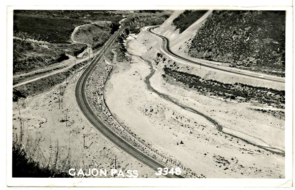
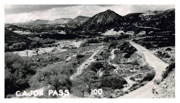
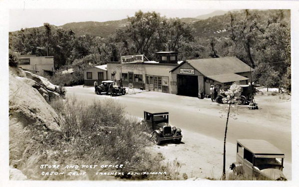
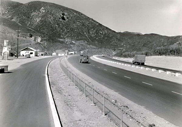
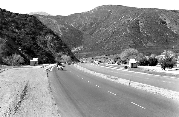
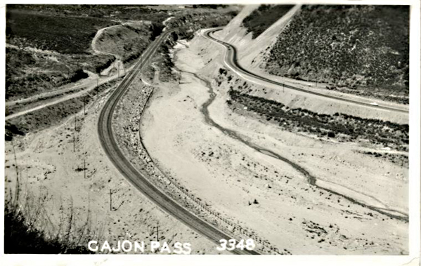
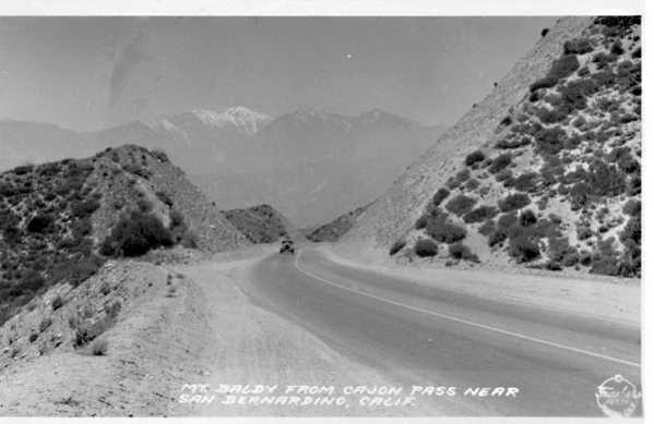
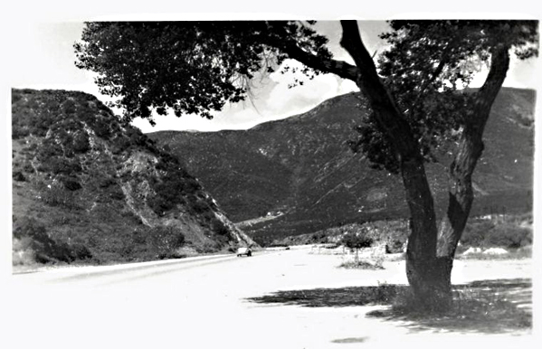
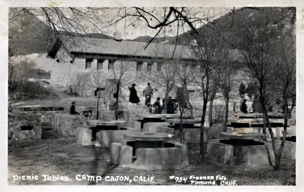
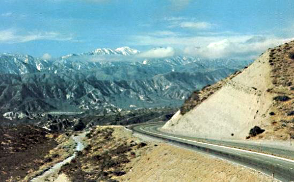
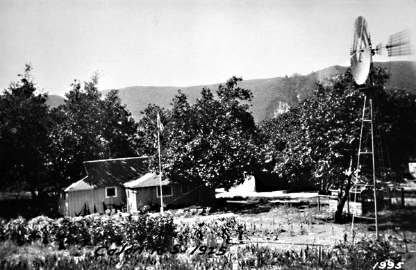
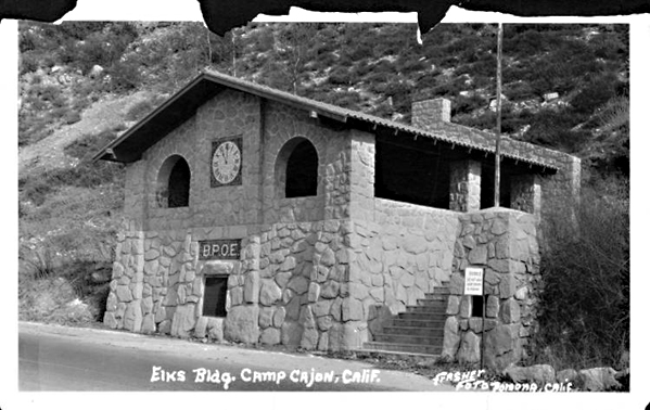
The Mojave River was the final desert threshold for Van Dyke’s party. Provisions nearly failed. About a dozen men went ahead for relief. They reached the Mojave River on the second day from the main camp, near present-day Barstow. They followed the Old Spanish Trail up the river to Cajon Pass. This short passage matters: it shows the Mojave River as the practical approach to Southern California. The river led emigrants to the pass and from the desert to the settlement.
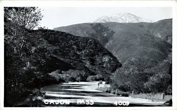
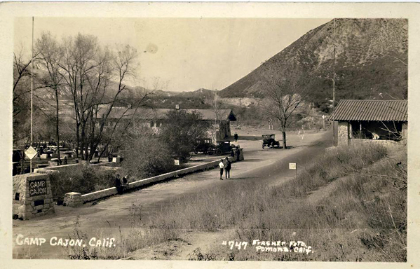
The emotional climax is at Cajon Pass. Out of food and aided by moonlight, Van Dyke’s advance party went through the pass at night. They emerged in the valley around four o’clock on February 1. Van Dyke’s memory fixes on the contrast. The day before, they were in a harsh desert. Now, they walked through flowers and wild clover, with fragrant morning air. The passage is conventional–a classic arrival scene–, but its power lies in its geography.
Cajon Pass marked the divide between ordeal and relief.
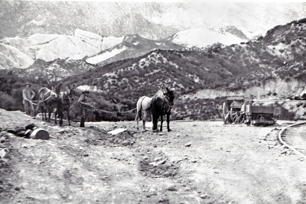
At Cucamonga Rancho, the advance party found food, milk, and butter. A few days later, they reached Chino Ranch, linked to Colonel Isaac Williams, who had sent relief that season. Soon after, Van Dyke went to Los Angeles with a horse and guide, carrying letters and packages. The rest of the Cleveland party arrived with the train about a week later. The crossing took eight months. All arrived alive and healthy. Van Dyke knew this was rare. He had seen graves along the Platte and Black Hills and knew many had endured worse.
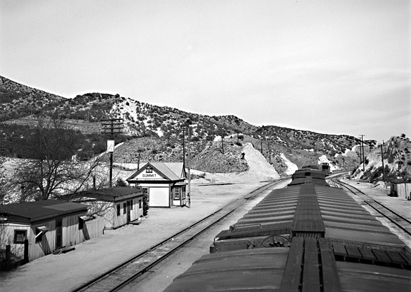
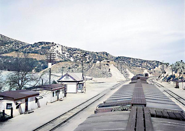
Van Dyke drew a larger lesson from their survival. That winter brought early rains and deep Sierra snow. No ordinary party could have crossed the Sierra. His group traveled from Salt Lake to Southern California with ox teams and heavy wagons, delayed primarily by weakened stock. He used this fact to argue that the Salt Lake-to-Los Angeles corridor was the natural railroad route to the Pacific—lighter grades, fewer snow sheds. This is retrospective route advocacy. However, it is grounded in their successful winter passage when the Sierra route was closed.
White frames what Van Dyke omits: the allure of the mines and San Francisco. White’s world rushes toward gold. It sorts into miners, merchants, teamsters, speculators, lawyers, gamblers, and citizens of a new commonwealth. The Gold Rush was a social furnace as well as a migration. Van Dyke confirms this from the south. In Los Angeles, he found a small Spanish pueblo with little business beyond stock raising. Even southern route emigrants kept moving north. The mines remained the magnet.
The three sources, therefore, work best together. Bagley supplies the research architecture: how to think about diaries, journals, recollections, reminiscences, guidebooks, and the uneven survival of trail records. White gives the broad synthetic frame. The Gold Rush was a migration, ordeal, social leveling, urban explosion, and civic improvisation. Van Dyke gives the local route witness. A Cleveland emigrant who reached Salt Lake too late. He turned south under guidance, followed the Old Spanish Trail, came by the Mojave River and Cajon Pass, and arrived safely in Los Angeles. Used together, these accounts show that the Forty-niner story was not simply a rush to California. It was a series of choices made under pressure. The right road, at the right season, could mean the difference between disaster and survival.
For Death Valley and Mojave work, that distinction is essential. The southern route is often remembered through the dramatic failure of the Death Valley parties. Van Dyke preserves the counterexample: the guided road that worked. His party suffered from hunger, snow, poor forage, and failing cattle. But it did not fall into catastrophe. It stayed with Hunt’s route. They kept to the Old Spanish Trail, used known water corridors, and entered Southern California through Cajon Pass. In that sense, Van Dyke’s account is not merely a reminiscence. It is evidence for the practical geography of survival in 1849.
The better historical question, then, is not simply why some Forty-niners suffered. All suffered in some measure. The sharper question is why some parties survived intact while others broke apart. Timing, leadership, route knowledge, livestock condition, water, forage, and the discipline to abandon the wrong ambition at the right moment–that made the difference. Van Dyke’s party wanted the gold fields. But at Salt Lake, they accepted winter’s terms.
The better historical question, then, is not simply why some Forty-niners suffered. All suffered in some measure. The sharper question is why some parties survived intact while others broke apart. Timing, leadership, route knowledge, livestock condition, water, forage, and the discipline to abandon the wrong ambition at the right moment—that made the difference. Van Dyke’s party wanted the gold fields. But at Salt Lake, they accepted winter’s terms. That decision sent them south, through the Mojave, and into Los Angeles alive.
References
Bagley, Will, ed. Across the Plains, Mountains, and Deserts: A Bibliography of the Oregon-California Trail, 1812-1912. Prepared for the National Park Service, National Trails Intermountain Region. Salt Lake City: Prairie Dog Press, 2015.
Van Dyke, Walter. “Overland to Los Angeles, by the Salt Lake Route in 1849.” Historical Society of Southern California.
White, Stewart Edward. The Forty-Niners: A Chronicle of the California Trail and El Dorado. New Haven: Yale University Press, 1918.