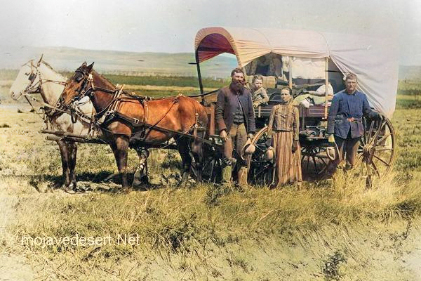
The ethos of a wanderer is best understood when set in contrast to what it is not.
It developed in opposition to the settled instinct—the urge to mark, hold, improve, and return. Where the settler seeks continuity through permanence, the wanderer accepts continuity through passage. One builds to remain; the other moves to understand.
In contrast to ownership, the wanderer practices use without claim. He drinks from a spring without naming it, crosses land without enclosing it, and departs without recording his presence. What matters is not leaving a mark, but leaving things unchanged. The settler measures success by what endures; the wanderer by what does not need repair after he is gone.
Where the settled ethos relies on rules and boundaries, the wanderer relies on judgment. Fences, signs, and procedures are substitutes for attentiveness. The wanderer reads weather, terrain, and circumstance directly. He adapts moment by moment rather than enforcing a plan. This makes him appear unstructured, though his discipline is internal and exacting.
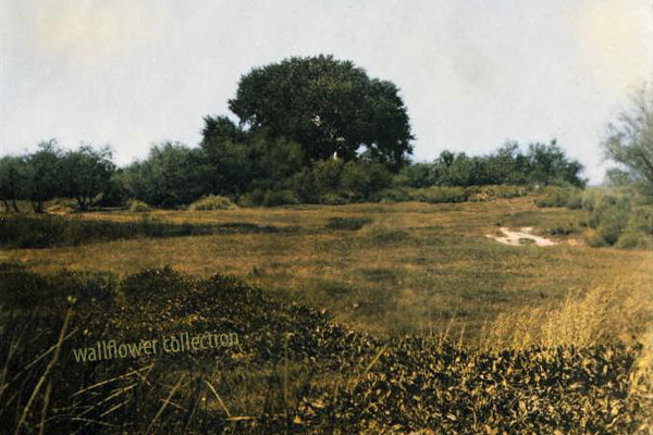
In contrast to improvement, the wanderer values recognition. He does not assume that what he encounters is incomplete. The impulse to fix, organize, or optimize is held in check by humility. The land is not a problem to be solved, and silence is not emptiness.
In opposition to speed and efficiency, the wanderer practices measured movement. He goes slow enough to notice and fast enough to remain light. He understands that lingering can be as intrusive as rushing. Timing matters more than arrival.
Finally, in contrast to the fence-builder, the wanderer embodies confidence rather than control. He does not fear what lies behind him, nor does he need to close it off. He trusts that his path does not require guarding once passed. If he does not return, nothing is lost. If he does, he will come by a different way.
Thus, the wanderer’s ethos is not a rejection of order, but a refusal of unnecessary enclosure. It arose where land was vast, memory was personal, and freedom required responsibility. It is an ethic shaped by open ground—best understood by those who know when to keep moving.
Below is a paired essay, written to sit beside The Ethos of the Wanderer without undoing it or moralizing against it. The tone is observational, not accusatory, and treats the modern condition as an ethos—something practiced rather than merely suffered.
The Modern Desert Social Ethos
The modern desert social ethos is best understood not by how it moves, but by how it manages.
It arose not from passage or permanence alone, but from coordination—the need to share limited space among many people who no longer know one another personally. Where earlier desert ethics relied on judgment or stewardship, the modern ethos relies on systems. Continuity is achieved not through memory or return, but through regulation.
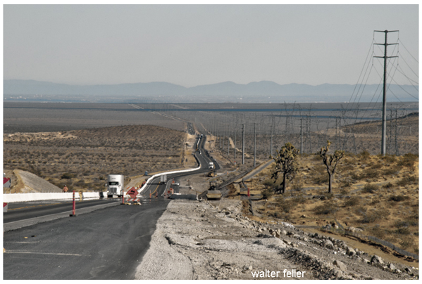
In contrast to use without claim, modern desert life operates through conditional access. Land is public, but entry is governed. Roads, trailheads, permits, and signage define where movement is acceptable. One may cross vast ground, but only along prescribed lines. What matters is not leaving no trace, but complying with an approved one.
Where the wanderer relied on attentiveness, the modern ethos relies on procedural safety. Risk is managed in advance rather than met directly. Warnings replace experience; liability replaces judgment. Responsibility is externalized so that no individual is required to know the land deeply to be present upon it.
In contrast to recognition, the modern desert ethos values mitigation. Landscapes are assessed, restored, hardened, or restricted based on projected impacts. Silence becomes a resource to be managed, solitude a condition to be scheduled. The land is neither teacher nor adversary, but a system requiring oversight.
In the face of measured movement, modern desert life favors accessibility and efficiency. Roads reach farther, vehicles go faster, and communication is constant. Lingering is acceptable only where designated. Movement is encouraged, but improvisation is not. The goal is experience without uncertainty.
Finally, in contrast to confidence without enclosure, the modern ethos operates through containment rather than trust. Fences, closures, and enforcement do not presume ill intent, but assume scale. What once could be handled through mutual restraint must now be managed through control, because the number of participants has outgrown shared understanding.
Thus, the modern desert social ethos is not a rejection of older desert ways, but a response to their erosion. It developed where land remained open, but society grew dense, where memory became collective rather than personal, and where responsibility had to be standardized to function at all. It is an ethic shaped by pressure on open ground—best understood by those who must balance freedom with coexistence.
==