You could think of the Mojave Desert as a grand Broadway production—ancient, dramatic, and full of subtle choreography that has played out for millions of years.
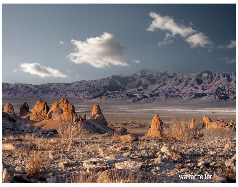
The stage is the geology: immense backdrops of folded mountains, tilted strata, and fault lines painted by time. Volcanic cones serve as spotlight towers, alluvial fans sweep like curtains drawn across the basin floor, and the Mojave River cuts a wandering path like a traveling stagehand moving props between acts.
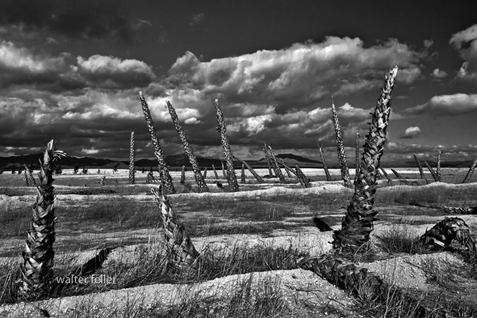
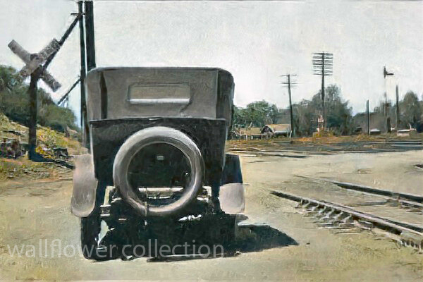
The set is built from plants, rocks, and the occasional weathered structure. Joshua trees rise like eccentric stage pieces, each with its own pose under the lights. Creosote bushes fill in the ensemble—reliable, understated performers who know every cue. Abandoned mining cabins, ghost towns, and derelict rail ties serve as the props and scenery from earlier acts, remnants left between scenes of prosperity and decline.
The lighting crew is the sun, directing each scene with precision—blinding spotlights at noon, warm amber tones at dusk, and moonlit silver rehearsals after dark. The wind adds the soundtrack, whispering through canyons or howling like a restless audience.
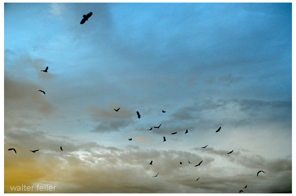
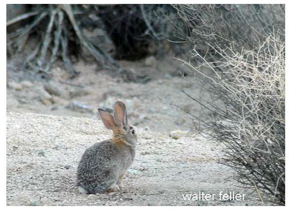
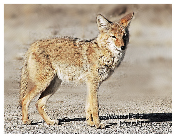
The actors? Coyotes, bighorn sheep, and lizards—all improvising within a script written by climate and time. Even the rain, when it shows up, steals the scene with a brief but powerful soliloquy, transforming everything for one fleeting act before bowing out again for months, sometimes years.
Every performance is different, but the play never closes. The Mojave’s production runs continuously, with geology always holding center stage and life finding its cues wherever it can.