/wildlife/long-nosed-leopard-lizard.html
Introduction:
The world of reptiles is home to a plethora of unique and captivating species, and one that stands out is the long-nosed leopard lizard. With its distinct appearance and impressive adaptations, this lizard has gained attention from researchers and reptile enthusiasts alike. Following is the world of the long-nosed leopard lizard, exploring its characteristics, habitat, behavior, and conservation status.
Appearance and Characteristics:
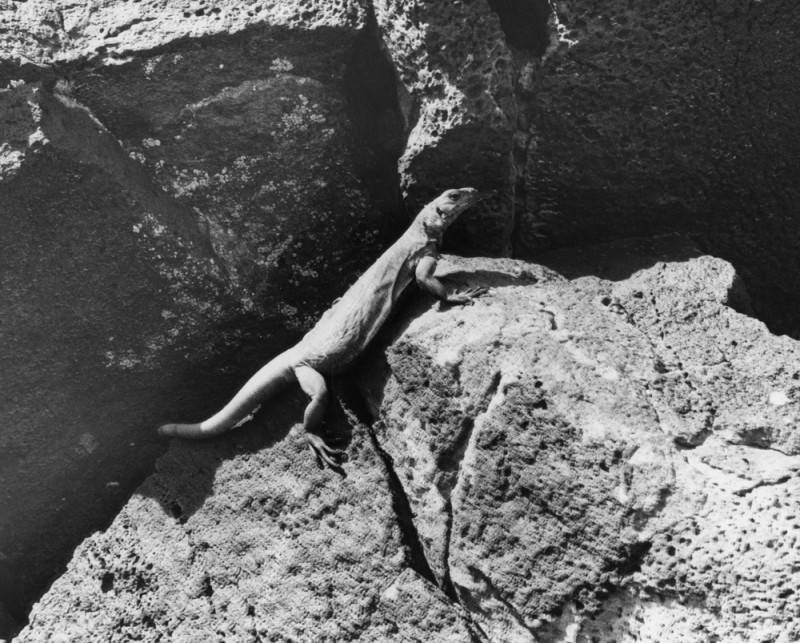
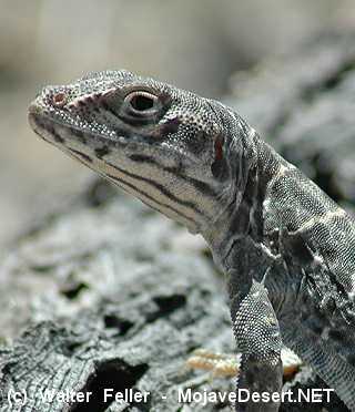
The long-nosed leopard lizard, scientifically known as Gambelia wislizenii, is a species native to the arid regions of the southwestern United States and northwestern Mexico. It is named after its long and slender snout, which aids in catching prey and digging into the sandy soil where it resides. This lizard typically measures around 5 to 7 inches in length, with females being slightly larger than males.
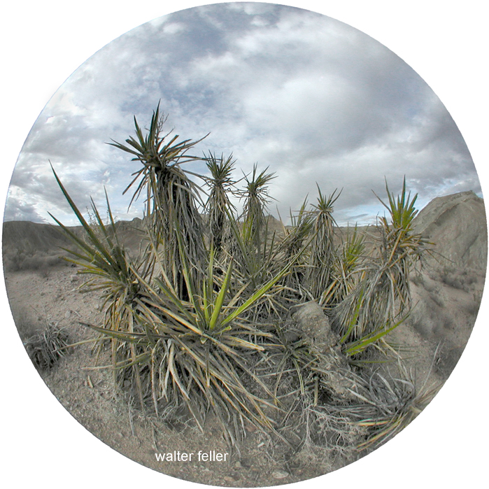
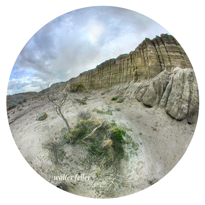
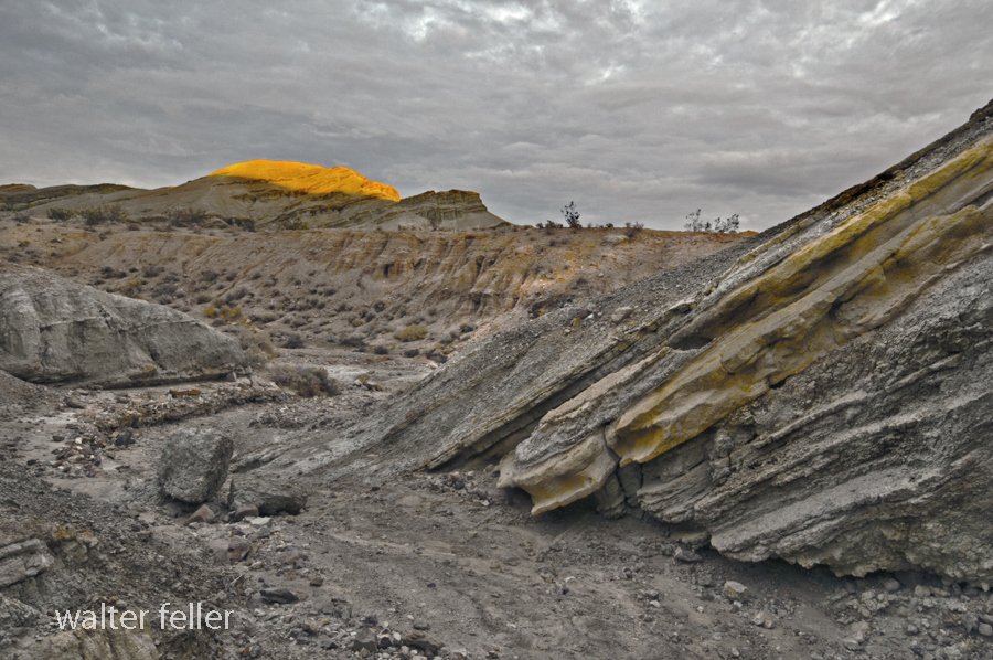
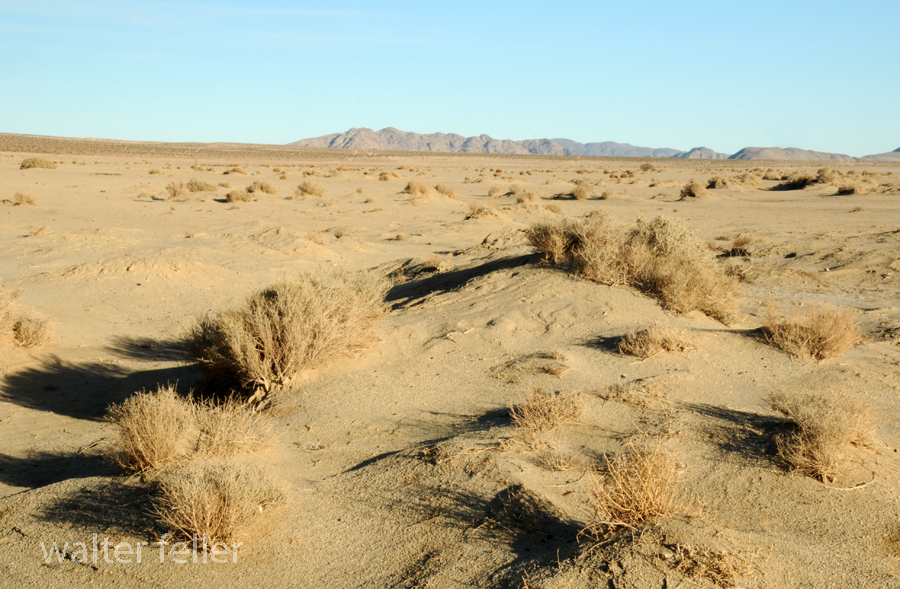
Habitat and Distribution:
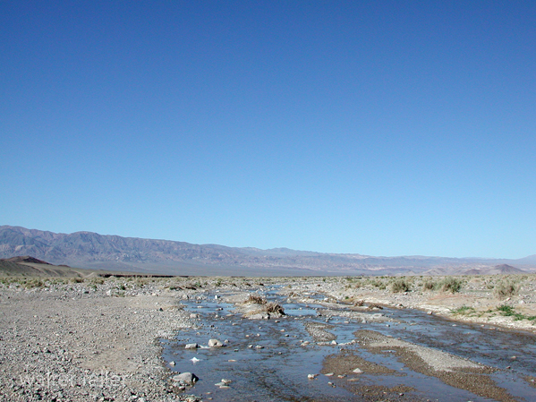
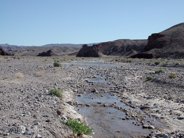
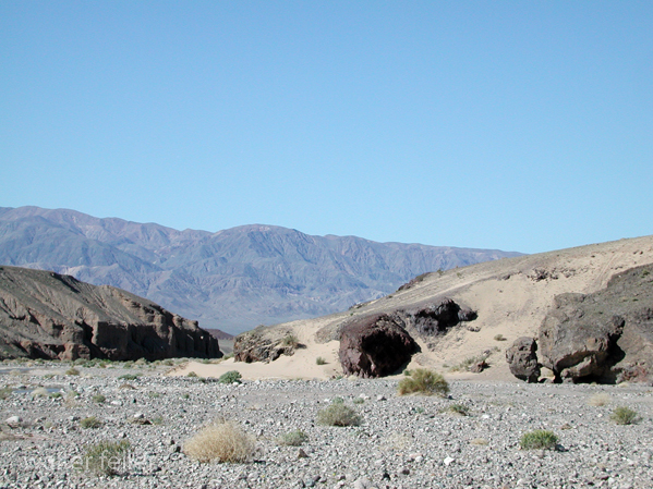
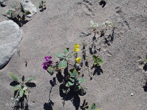
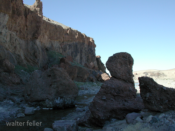
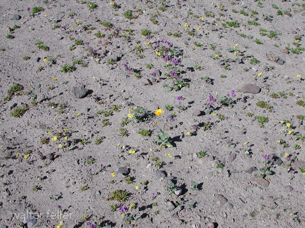
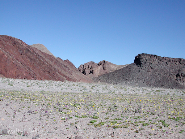
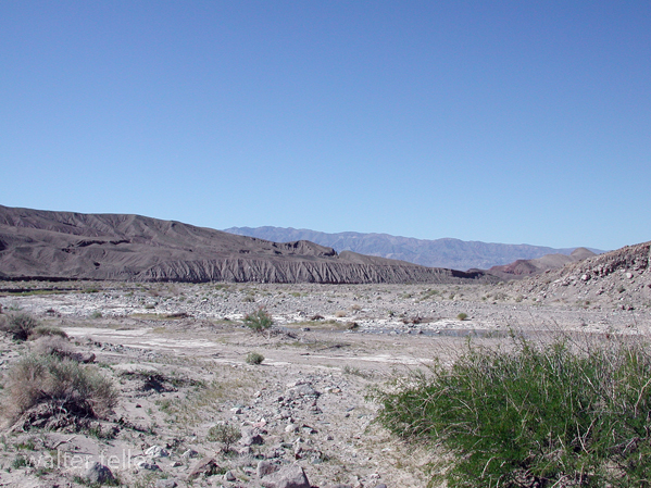
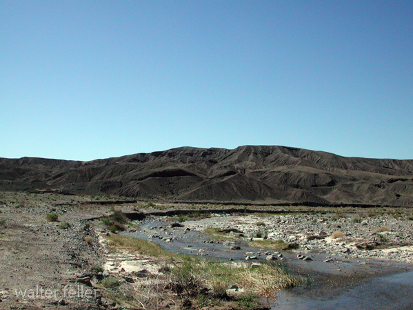
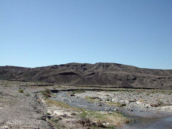
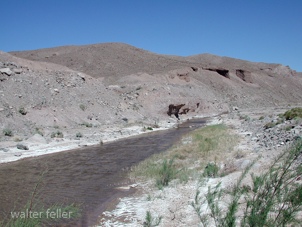
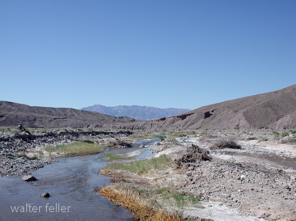
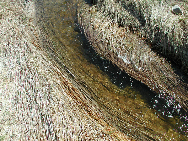
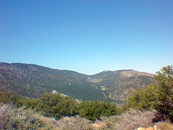
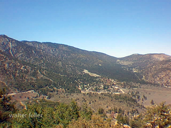
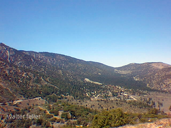
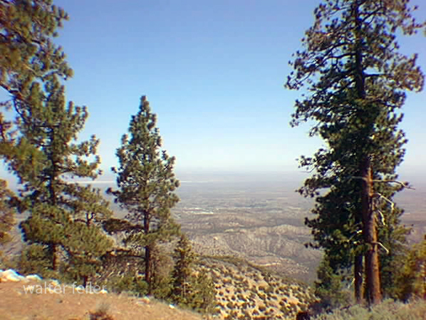
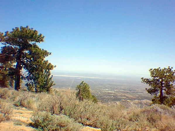
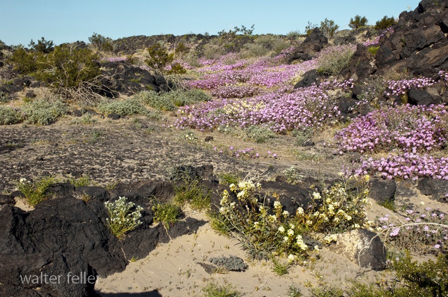
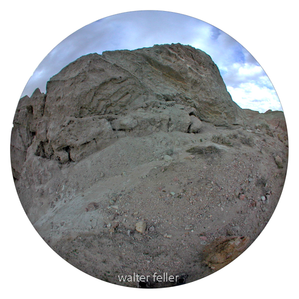
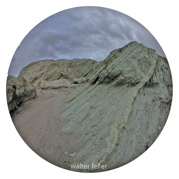
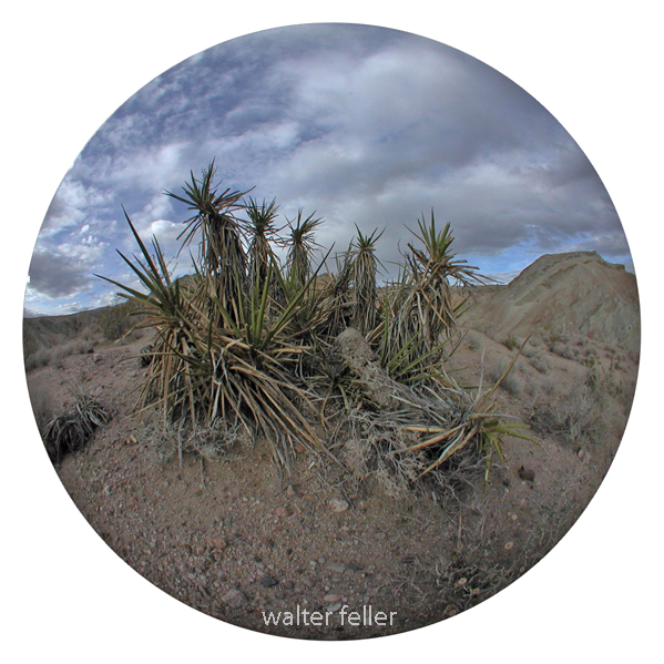
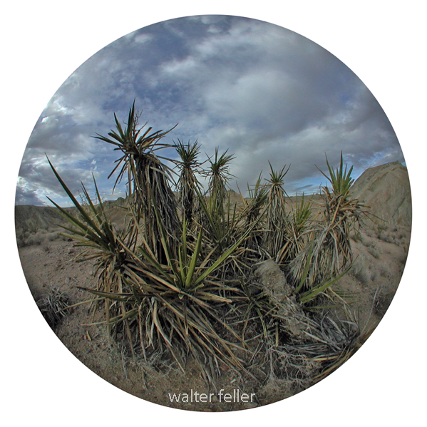
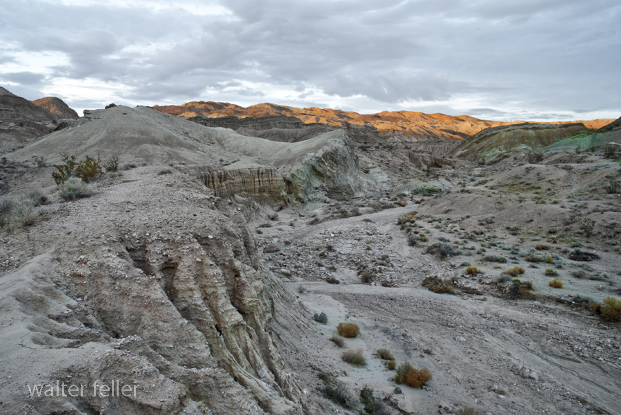
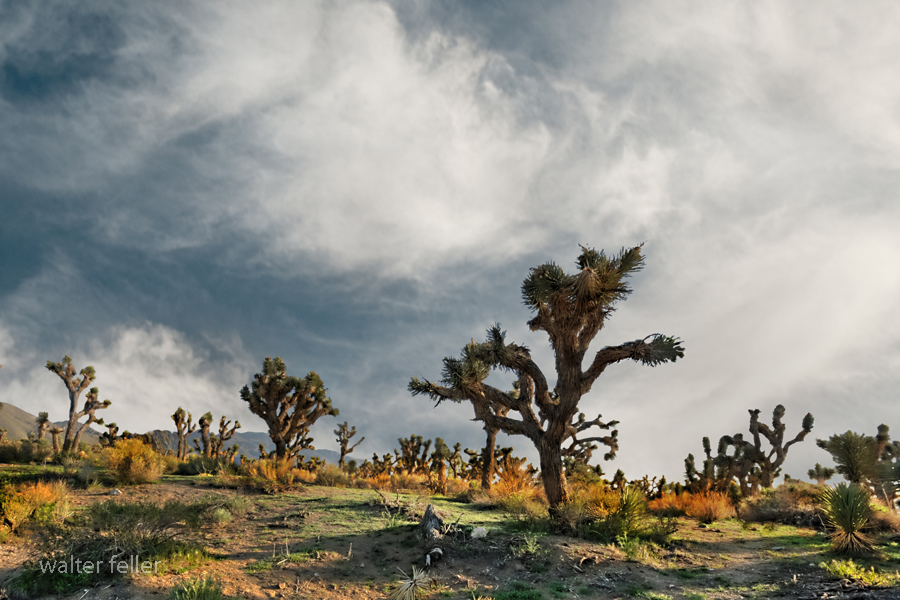
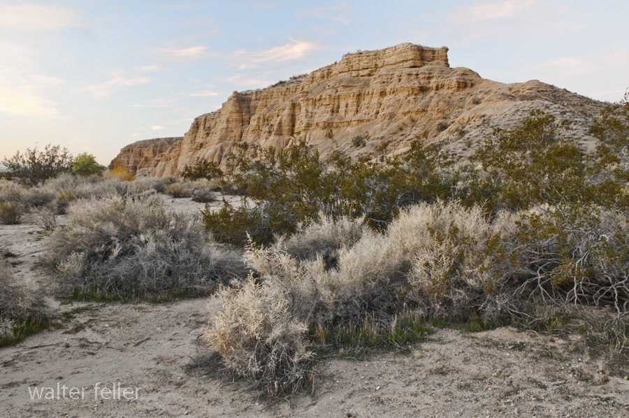
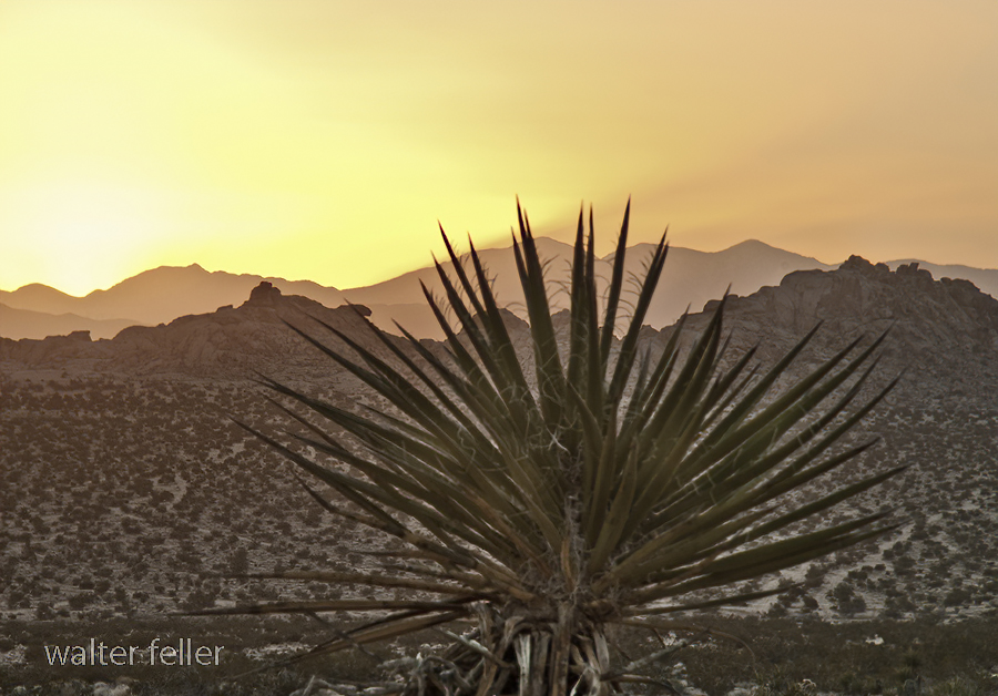
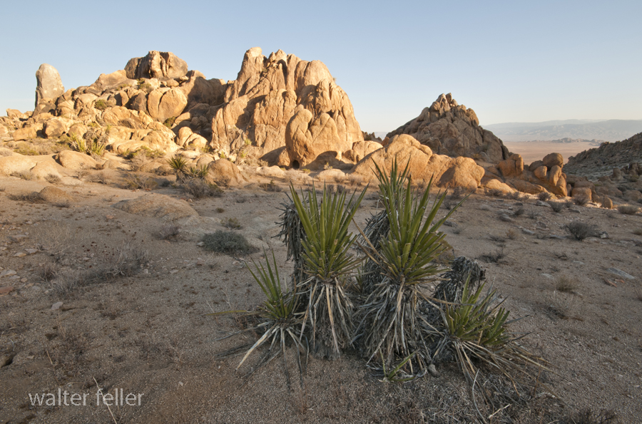
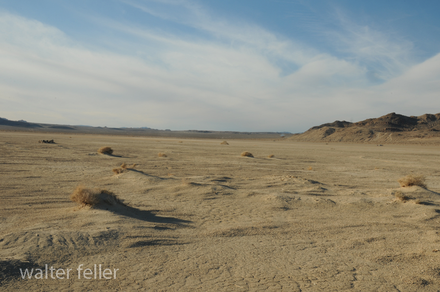
Long-nosed leopard lizards are primarily found in desert grasslands, sagebrush scrub, and sandy habitats. They prefer areas with loose soil, allowing them to burrow and seek refuge from predators and extreme temperatures. Their range includes parts of Arizona, New Mexico, Nevada, Utah, and California, as well as the Mexican states of Sonora and Baja California.
Behavior and Diet:
As diurnal creatures, long-nosed leopard lizards are most active during the day, basking in the sun to regulate their body temperature. They are skilled hunters, relying on their excellent eyesight and lightning-fast reflexes to catch prey, which primarily consists of insects, spiders, and other small invertebrates. These lizards are known for their agility and can swiftly maneuver in pursuit of their prey.
Reproduction and Life Cycle:
Breeding season for long-nosed leopard lizards usually occurs in the spring, with males engaging in territorial displays to attract females. Female lizards lay their eggs in shallow burrows, where they are protected from extreme temperatures and potential predators. After an incubation period of approximately two months, the hatchlings emerge, ready to explore their desert surroundings.
Conservation Status:
Unfortunately, the long-nosed leopard lizard faces several threats to its survival. Habitat loss due to urbanization and agriculture has significantly impacted their populations. Additionally, the introduction of non-native species and climate change pose further challenges. As a result, the long-nosed leopard lizard is categorized as a species of concern and is protected under state and federal legislation.
Conclusion:
The long-nosed leopard lizard is a remarkable reptile that has adapted to thrive in the harsh desert environments of the southwestern United States and northwestern Mexico. Its distinct appearance, agile behavior, and unique adaptations make it a fascinating subject for researchers and reptile enthusiasts. However, with increasing human activities and environmental changes, it is crucial to raise awareness and take measures to conserve this remarkable species for future generations to appreciate and study.