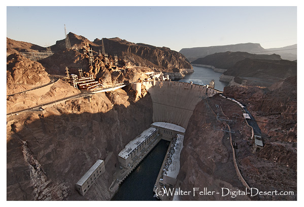
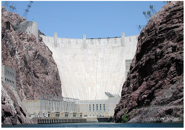
Hoover Dam and Boulder Dam refer to the same concrete structure that crosses the Colorado River between Nevada and Arizona. The distinction lies not in the dam, but in a story formed by planning, politics, and changing names.
Early proposals to control the Colorado River focused on Boulder Canyon, upstream of the eventual construction site. As a result, the project became widely known as Boulder Dam, a name that remained familiar even after engineers selected Black Canyon, with its stronger rock walls and narrower gorge, as the better location for such a massive dam.
In 1930, Secretary of the Interior Ray Lyman Wilbur announced that the project would be named Hoover Dam, in honor of President Herbert Hoover, who had supported Colorado River development and played a role in negotiations among the basin states. Construction began during his administration, but the dam soon became associated with the Great Depression and the political changes that followed.
When Franklin D. Roosevelt became president in 1933, his administration returned to the older name Boulder Dam, which government publications and public references often used for years. Roosevelt dedicated the dam in 1935, even as major construction was still underway. During this period, “Boulder Dam” was not merely a casual nickname; it was the official name favored by many people and agencies.
In 1947, Congress formally restored the name Hoover Dam, which has since been the official designation. Boulder Dam remains an older historical term.
The two names, therefore, mark different moments in American history: “Boulder Dam” belongs to the era of early planning, Depression-era construction, and New Deal usage, while “Hoover Dam” is the modern official name. Together, the names reflect not only a landmark of engineering but also the politics of memory in the American West.