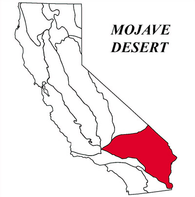
This stuff cracks me up
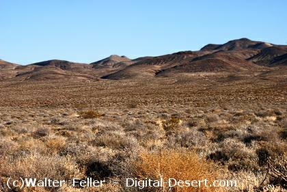
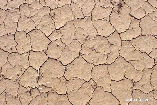
Polygonal desiccation is a defining surface feature of many playas in the Mojave Desert, where cycles of flooding and drying repeatedly reshape fine-grained sediments. A playa is a dry lakebed that temporarily fills with water after rainfall, then dries under intense desert heat. In this setting, polygonal crack networks form as a direct response to the physical behavior of wet sediment losing moisture.
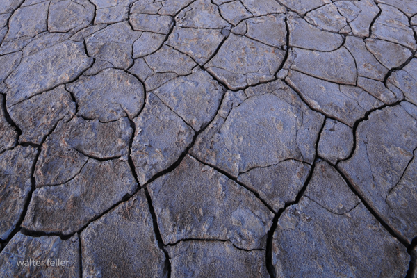
When a Mojave playa floods, water saturates surface layers composed mainly of clay and silt. These materials have a high capacity to retain water and expand slightly as they become hydrated. As conditions shift toward drying, driven by strong solar radiation and low humidity, evaporation removes water from the sediment. This loss of moisture causes the sediment to contract. However, because the surface layer is laterally constrained and cannot shrink uniformly, internal tensile stresses develop.
Once the stress exceeds the mechanical strength of the sediment, fractures begin to form. These cracks propagate downward and outward, intersecting with others to produce polygonal shapes. Over time, the network organizes into patterns that often resemble hexagons, with crack junctions approaching 120-degree angles. This geometry reflects a natural tendency toward stress minimization during shrinkage.
The scale of polygonal desiccation features on Mojave playas typically ranges from a few centimeters to several meters across, depending on factors such as sediment thickness, clay content, and drying rate. Finer-grained, clay-rich sediments tend to produce more well-defined and persistent crack networks, while coarser materials may result in less regular patterns.
These features are highly dynamic. Each flooding event can erase or modify existing crack networks, while subsequent drying generates new ones. Despite this constant reworking, similar polygonal patterns often reappear in the same areas because the underlying sediment properties and environmental conditions remain consistent.
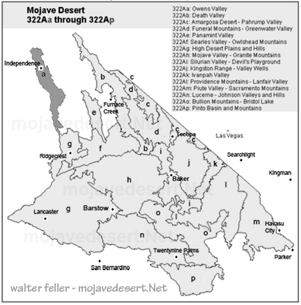
In well-known Mojave sites such as Rogers Dry Lake and Soda Lake, polygonal desiccation is a routine and visually striking phenomenon. These surfaces provide valuable insight into sediment mechanics, evaporation processes, and environmental change. The presence, size, and morphology of crack networks can indicate recent hydrologic conditions, including the frequency and intensity of flooding events.
It is important to distinguish polygonal desiccation from other polygonal patterns found in desert environments. In some playas, especially those rich in evaporite minerals, polygonal ridges form through salt accumulation driven by subsurface fluid movement rather than shrinkage. Additionally, very large polygonal features may reflect long-term groundwater decline rather than short-term drying.
In summary, polygonal desiccation on Mojave Desert playas represents a straightforward but powerful physical process: the contraction and fracture of drying sediment. These patterns are not random; they are systematic responses to environmental forces, and they serve as a visible record of the interplay between water, heat, and earth in arid landscapes.