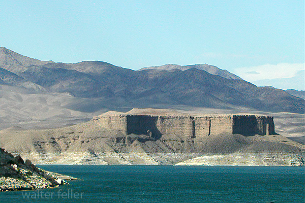
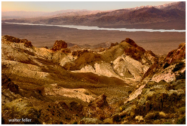
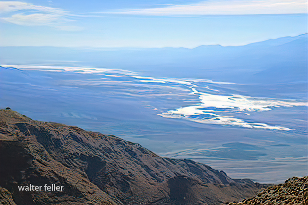
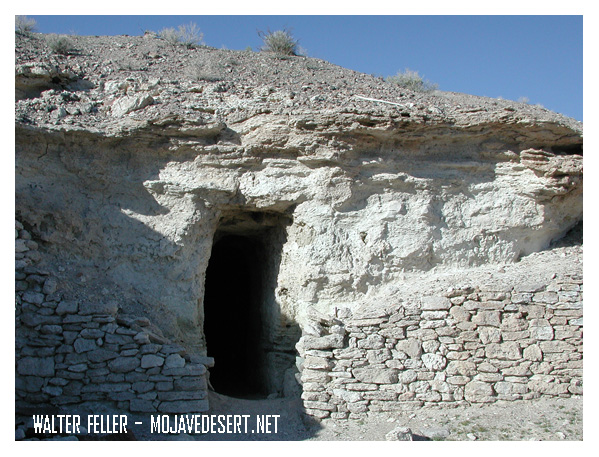
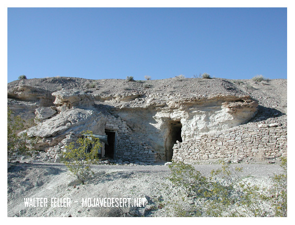
/fort-tejon/
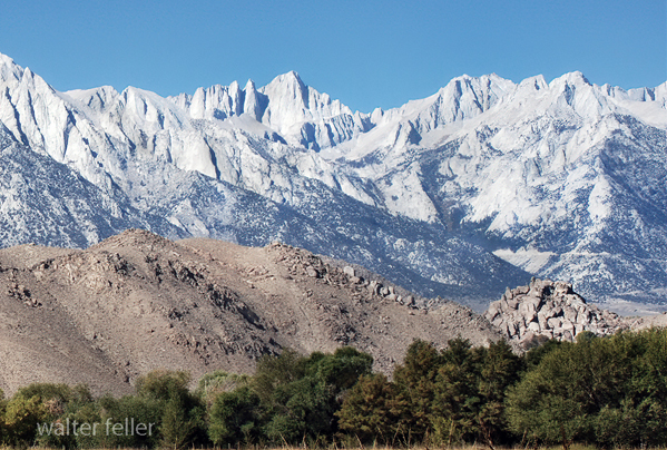
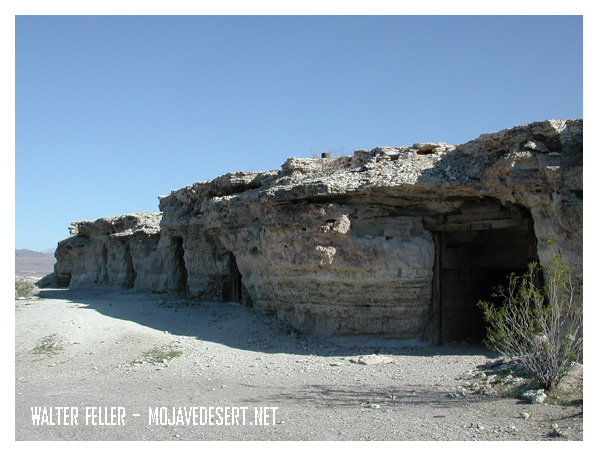
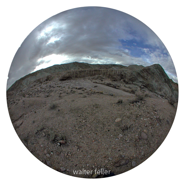
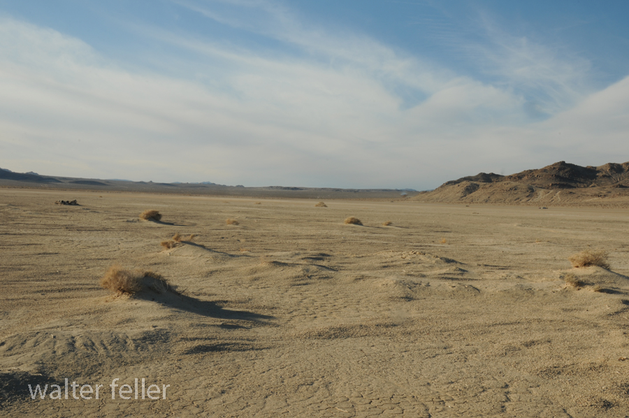
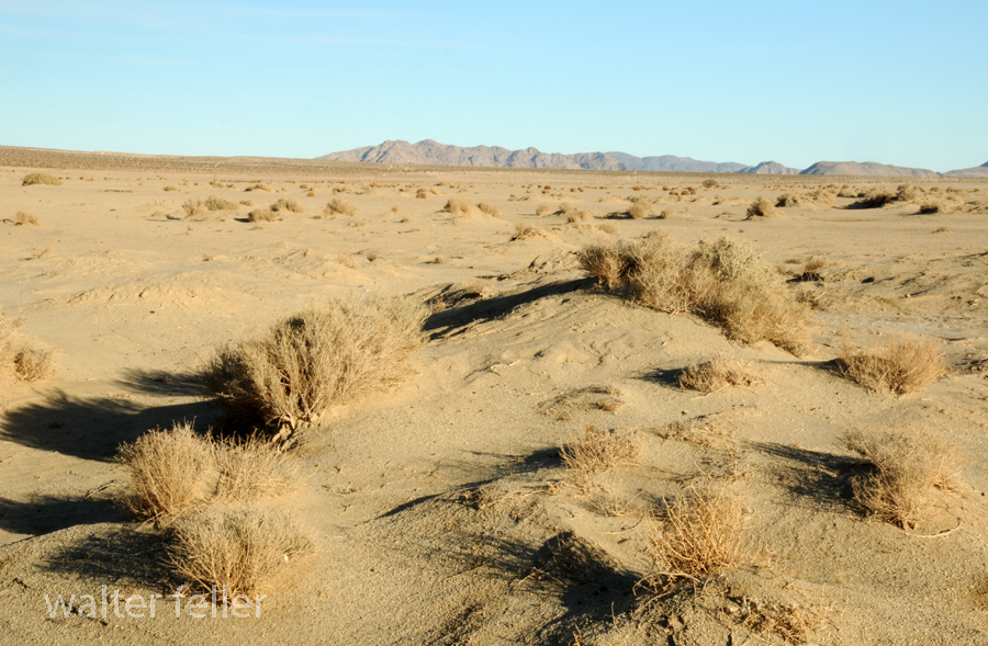
The Fort Tejon earthquake occurred on January 9, 1857, and is one of the largest historical earthquakes in California. It had an estimated magnitude of 7.9 and was associated with the southern segment of the San Andreas Fault. Here are some key details about the Fort Tejon earthquake:
- Date and Time:
- The earthquake struck on January 9, 1857.
- Location:
- The epicenter was near Fort Tejon in Kern County, California.
- Magnitude:
- The earthquake is estimated to have had a magnitude of 7.9.
- San Andreas Fault:
- The earthquake was associated with the southern segment of the San Andreas Fault.
- Damage:
- The region affected by the earthquake was sparsely populated, which helped reduce casualties.
- Significant damage occurred to buildings, infrastructure, and landscapes.
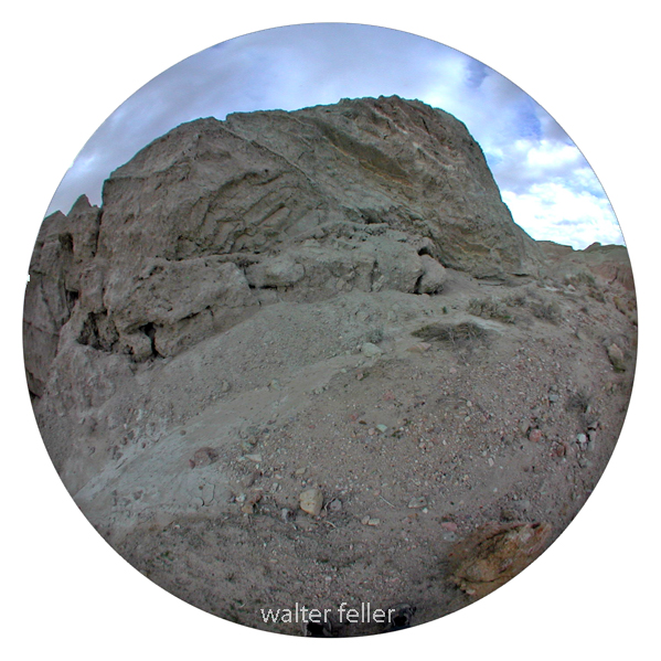
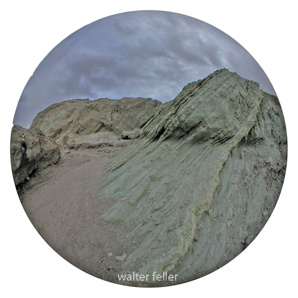
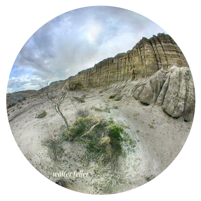
- The earthquake caused surface rupture along the fault, creating a noticeable surface offset.
- Aftershocks:
- A series of aftershocks followed the main event, further contributing to the seismic activity in the region.
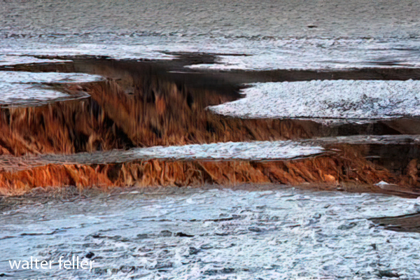
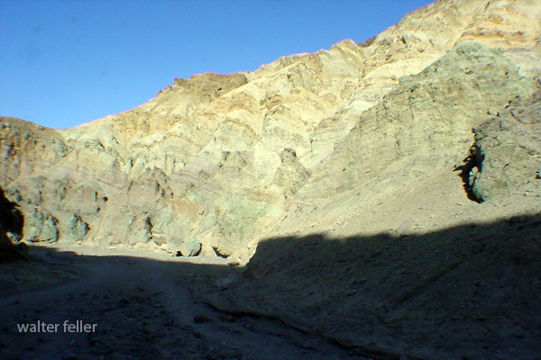
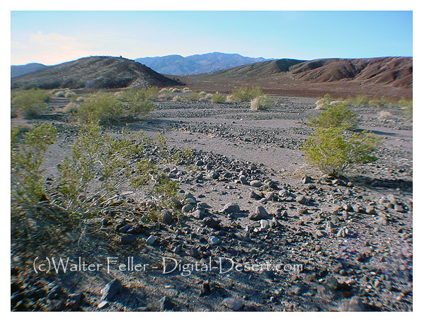
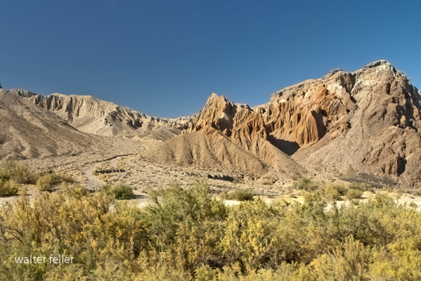
- Impact on Landscape:
- The earthquake caused visible changes in the landscape, with the ground surface breaking along the fault line.
- Historical Significance:
- The Fort Tejon earthquake is significant in understanding the seismic history of California.
- It provided valuable information about the behavior of the San Andreas Fault and the potential for large earthquakes in the region.
It’s worth noting that the Fort Tejon earthquake occurred when the population in the affected area was relatively low, which helped mitigate the impact on human lives. The earthquake remains an important event in studying California’s seismic activity and understanding earthquake hazards in the region.