Introduction:
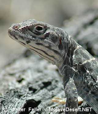
The Desert Spiny Lizard, scientifically known as Sceloporus magister, is a captivating reptile native to the arid regions of the southwestern United States and northwestern Mexico. With its unique appearance and intriguing behaviors, this lizard species has become a subject of fascination for researchers and nature enthusiasts alike. In this blog post, we will delve into the intriguing world of the Desert Spiny Lizard and uncover its remarkable characteristics and importance in its ecosystem.
Physical Features and Adaptations:
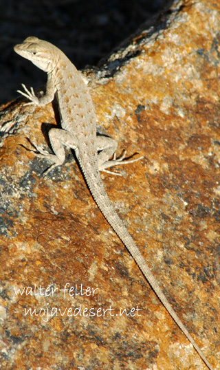
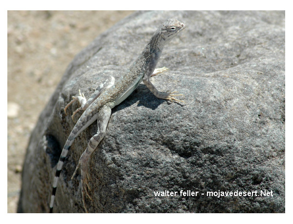
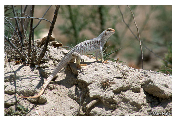
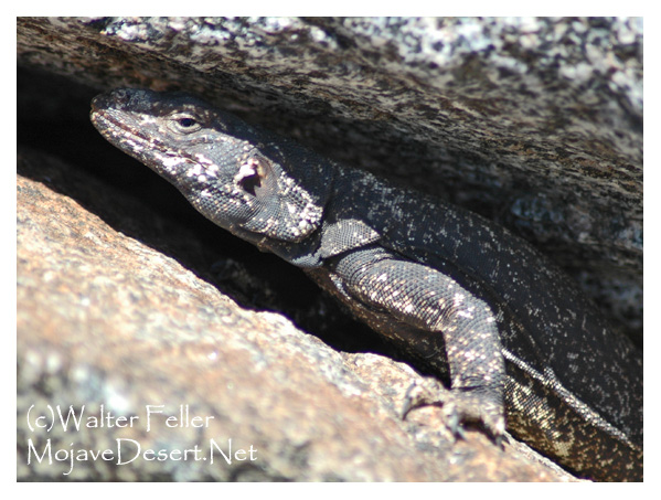
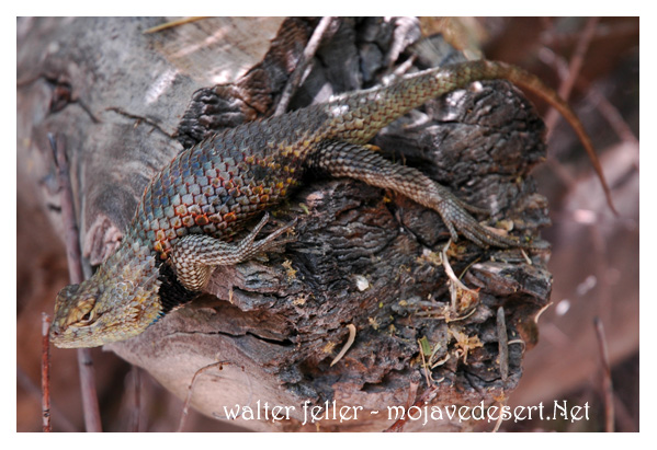
The Desert Spiny Lizard boasts a distinct appearance that sets it apart from other reptiles. Its body is covered in rough, spiky scales, giving it its name. These spines are especially prominent along its back and tail, providing a defense mechanism against potential predators. The lizard’s coloration varies depending on its habitat and temperature, ranging from pale gray to dark brown. This ability to change color allows the Desert Spiny Lizard to regulate its body temperature and blend seamlessly into its surroundings.
Habitat and Range:
As its name suggests, the Desert Spiny Lizard thrives in desert environments with sparse vegetation and rocky terrain. It can be found in several states across the southwestern United States, including Arizona, New Mexico, Nevada, California, and parts of northwestern Mexico. This lizard has adapted to the harsh conditions of its habitat, utilizing crevices in rocks and underground burrows as shelter during extreme temperatures.
The Desert Spiny Lizard is an omnivorous species, consuming a wide variety of insects, spiders, small vertebrates, fruits, and plants. Its diet primarily consists of ants, beetles, grasshoppers, and other small arthropods. This lizard is an expert climber, using its sharp claws to navigate rocky terrain and pursue prey. Its keen eyesight and quick reflexes make it a formidable predator in its ecosystem.
Reproduction and Life Cycle:
During the breeding season, which typically occurs in spring and early summer, male Desert Spiny Lizards engage in territorial displays to attract females. These displays involve head-bobbing, push-ups, and exposing their bright blue bellies. Once mating is successful, females lay a clutch of around 3-15 eggs in sandy soil or under rocks. The eggs incubate for approximately two months before hatching. Upon hatching, the young lizards are independent and must fend for themselves.
Conservation Status and Importance:
The Desert Spiny Lizard is considered a species of least concern, according to the International Union for Conservation of Nature (IUCN). Habitat destruction and fragmentation pose potential threats to its population. As an integral part of its ecosystem, this lizard helps control insect populations and serves as prey for larger predators. Studying and understanding the Desert Spiny Lizard’s behavior and adaptations can contribute to broader ecological research and conservation efforts.
Conclusion:
The Desert Spiny Lizard is an enchanting reptile that has adapted remarkably to survive in the harsh desert environments of the southwestern United States and northwestern Mexico. Its distinctive appearance, diverse diet, and intriguing behaviors make it a subject of fascination for scientists and nature enthusiasts alike. By appreciating and conserving the Desert Spiny Lizard and its fragile habitat, we can contribute to the preservation of the delicate balance of our desert ecosystems.
Walter Feller – 2023