Introduction:
The Mojave River, a hidden gem in the arid landscapes of California, serves as a vital lifeline in the Mojave Desert. This remarkable river spans approximately 110 miles and offers a diverse ecosystem, historical significance, and recreational opportunities for nature enthusiasts and history buffs.
Geography and Formation:
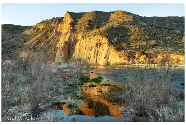
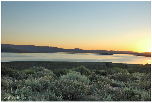
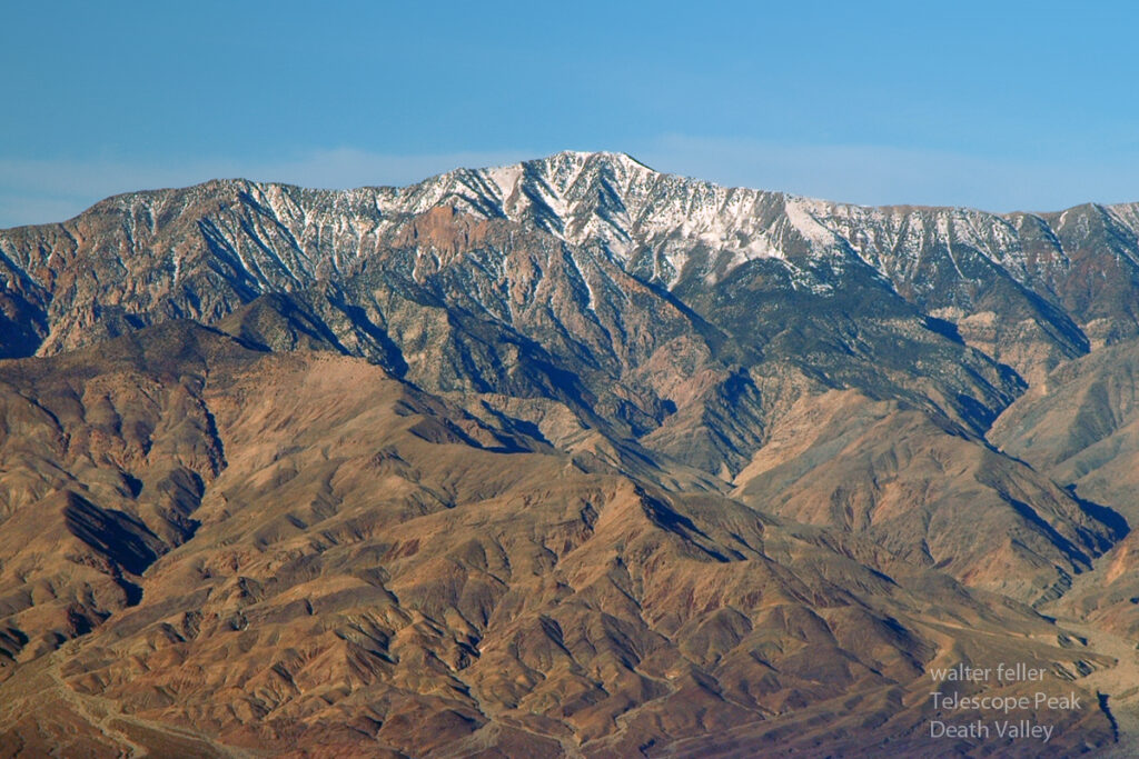
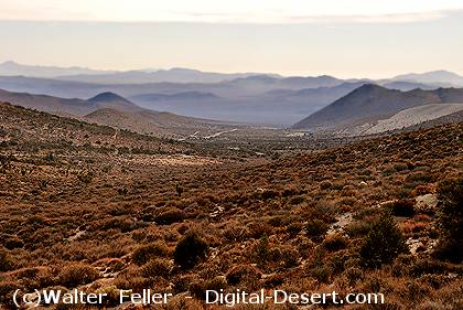
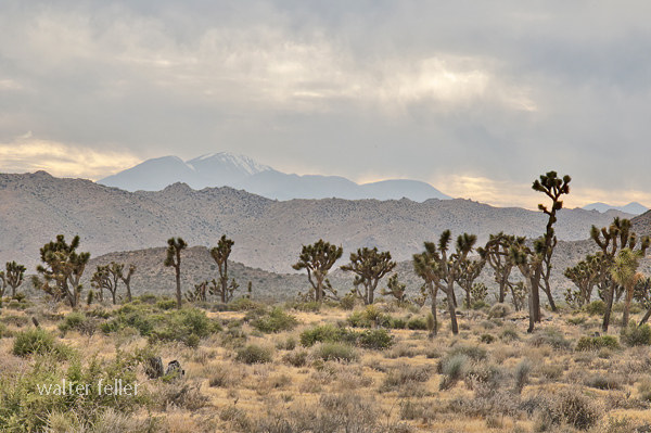
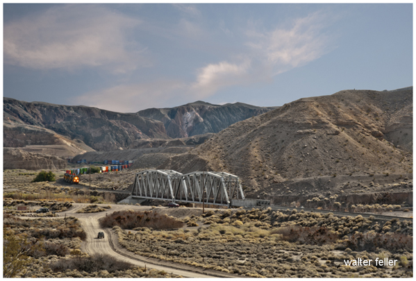
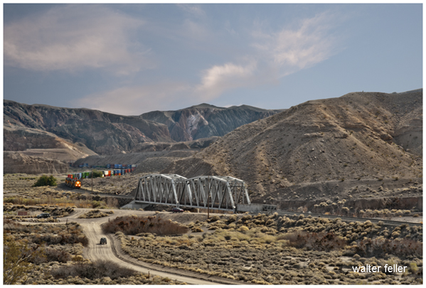
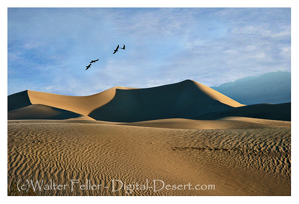
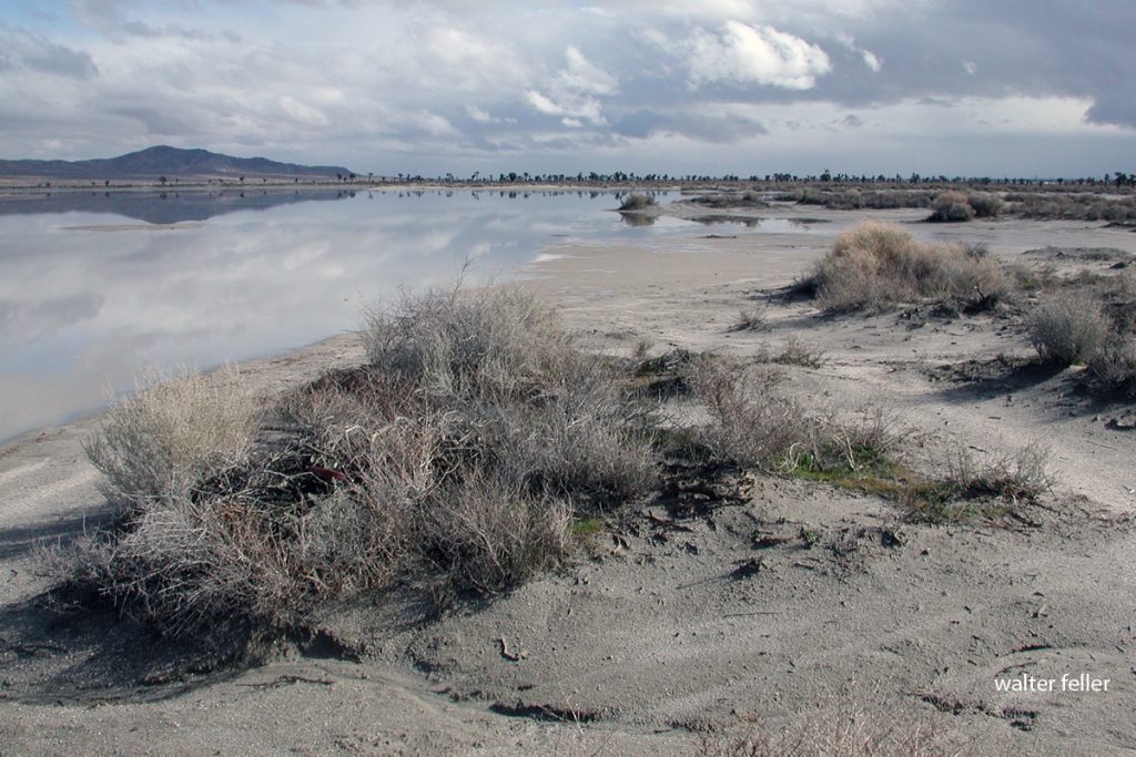
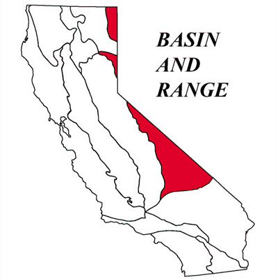
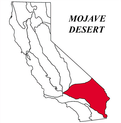
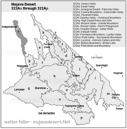
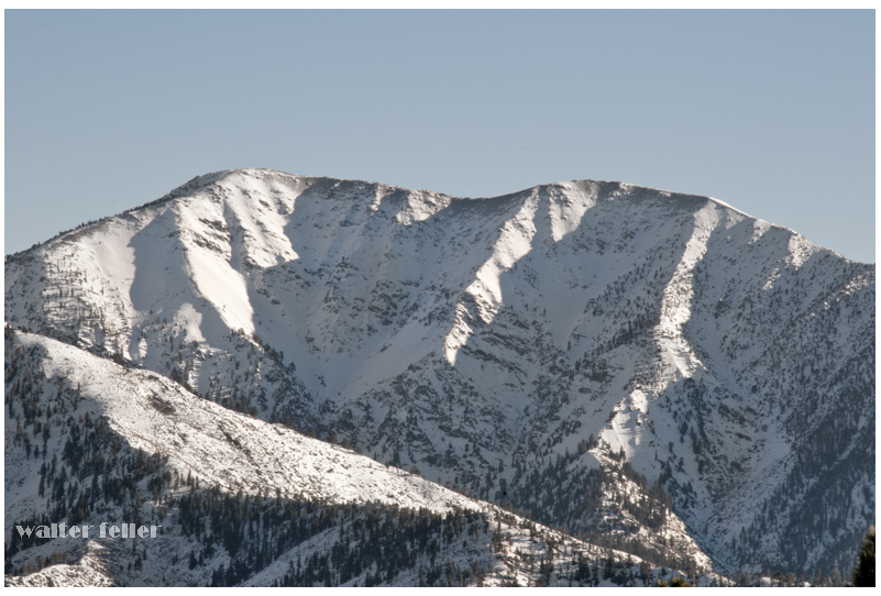
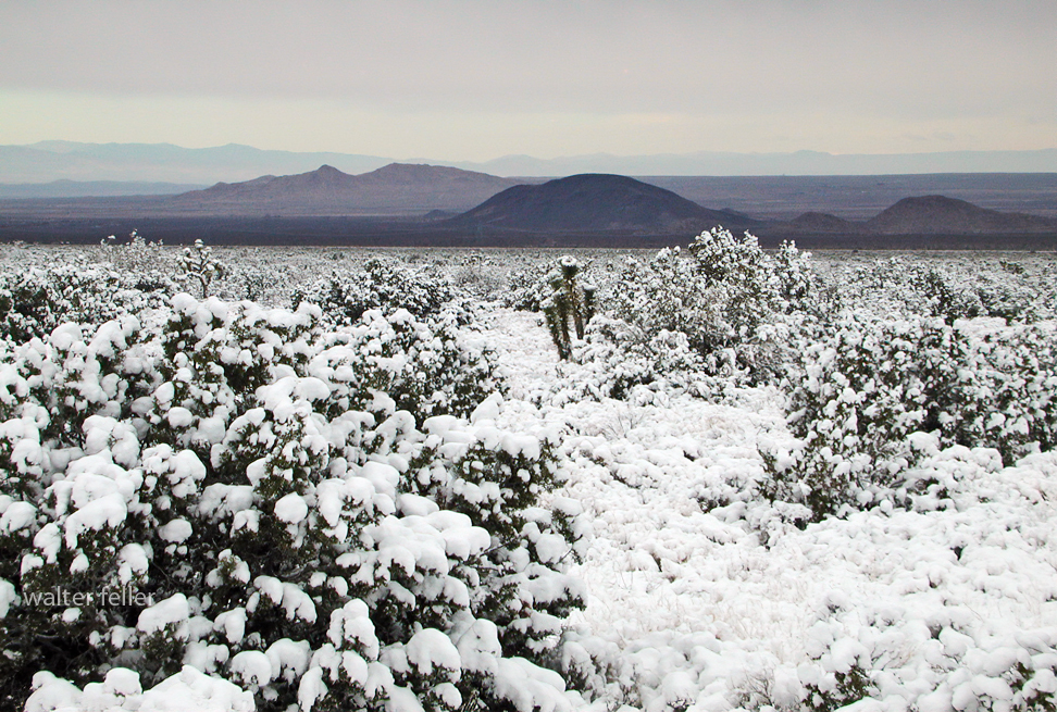
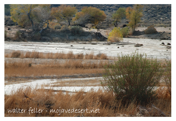
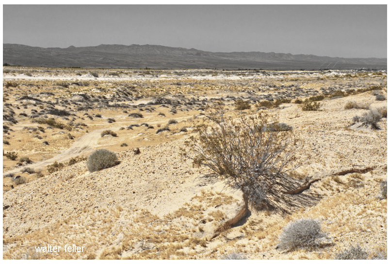
The Mojave River originates in the San Bernardino Mountains and meanders through the Mojave Desert, eventually dissipating into Soda Lake. Its path encompasses various landscapes, including rugged canyons, barren deserts, and lush riparian habitats. The river’s formation can be traced back thousands of years ago when geological processes and the ever-changing climate of the region shaped its course.
Ecological Importance:
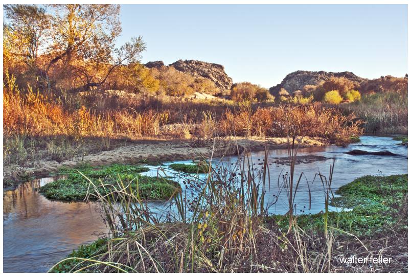
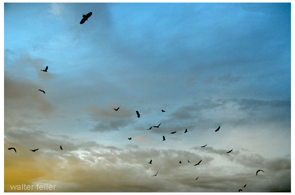
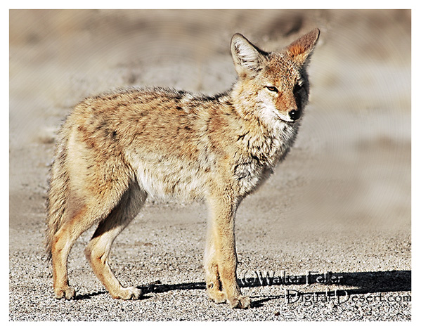
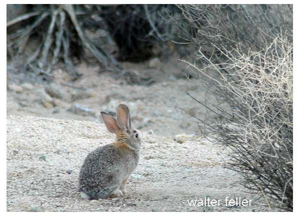
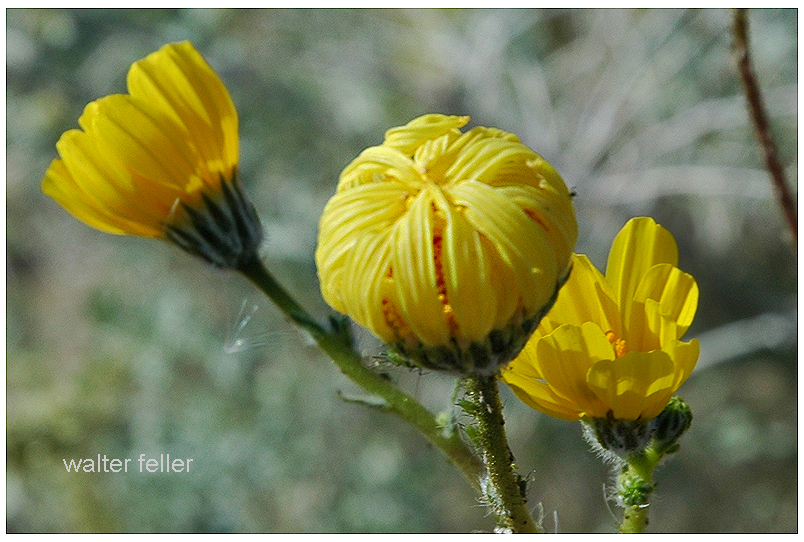
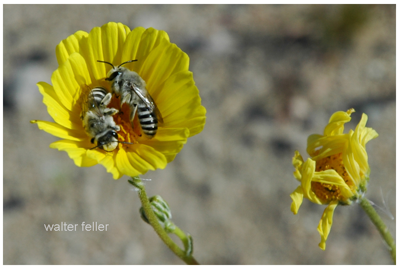
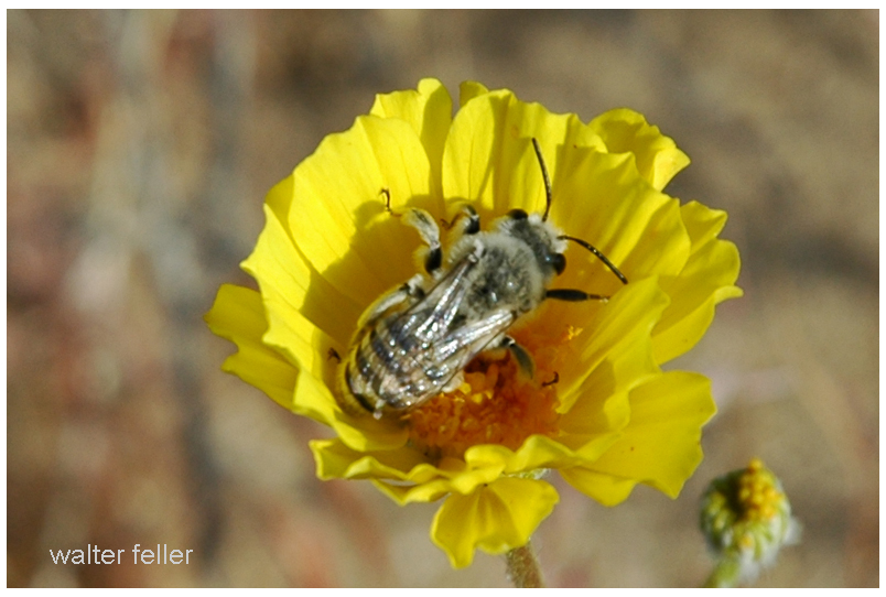
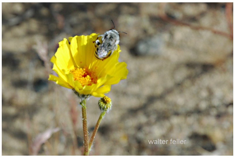
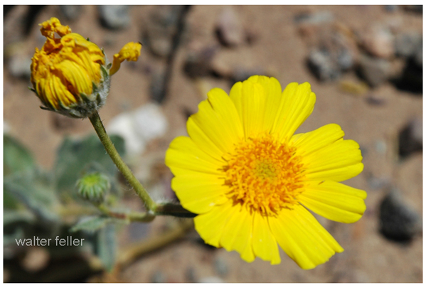
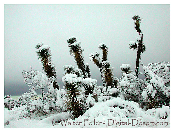
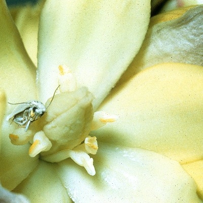
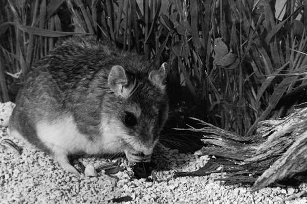
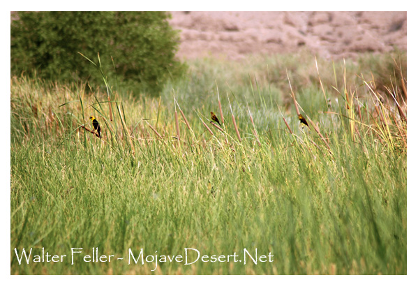
Despite the harsh Mojave Desert conditions, the Mojave River sustains a surprising array of flora and fauna. The river’s riparian zones provide an ideal habitat for a variety of plant species, such as willows, cottonwoods, and mesquite trees. These lush areas attract diverse wildlife, including birds, reptiles, and mammals, seeking refuge in this desert oasis.
Historical Significance:
The Mojave River holds a significant place in the history of California. Native American tribes, such as the Mojave, Serrano, and Chemehuevi, once relied on the river’s resources for sustenance and survival. European explorers, including Spanish missionaries and fur trappers, ventured along its banks, leaving behind a legacy of cultural exchange and exploration.
Moreover, during the mid-1800s, the Mojave River played a crucial role in the development of the Old Spanish Trail and the Mojave Road. These historic trade routes linked the Spanish colonies of California with the eastern United States, facilitating trade and migration.
Recreational Opportunities:
For outdoor enthusiasts, the Mojave River offers a plethora of recreational activities. Hiking trails, such as the Mojave Riverwalk Trail, provide opportunities for exploration, allowing visitors to immerse themselves in desert scenery. Camping facilities and picnic areas along the river’s banks provide the most idyllic setting for a peaceful getaway amidst nature’s tranquility.
Conservation Efforts:
Recognizing the importance of preserving this vibrant ecosystem, numerous conservation organizations and government agencies have worked to protect and restore the Mojave River. These initiatives focus on sustaining river water quality and preserving riparian habitats.
Conclusion:
The Mojave River stands as a testament to the resilience of nature in the face of adversity. Its meandering path through the Mojave Desert provides a lifeline for both wildlife and humans, offering a sanctuary amidst the arid landscapes. Whether you are a nature lover, history enthusiast, or adventure seeker, the Mojave River is a destination that promises a unique and memorable experience. So, embark on a journey to this desert oasis, and let the Mojave River captivate you with its beauty and allure.