Dublin Gulch

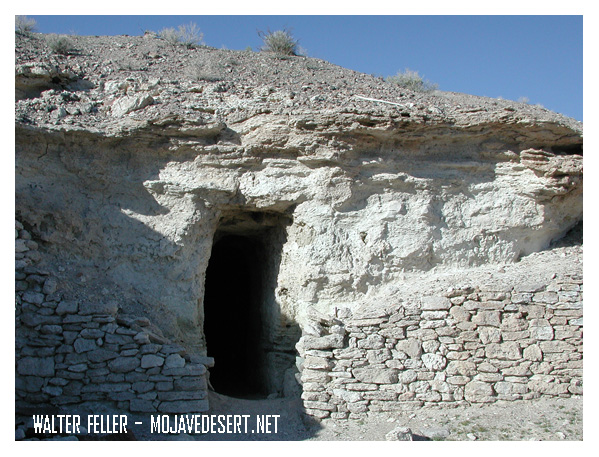
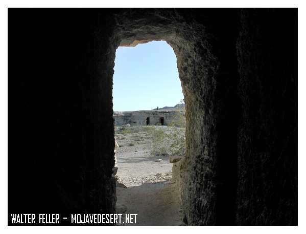
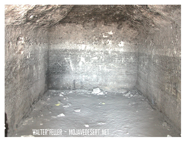
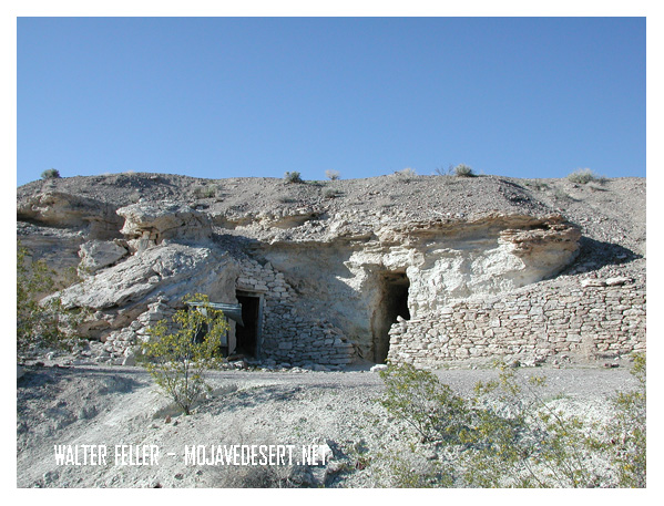
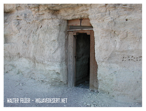
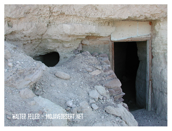
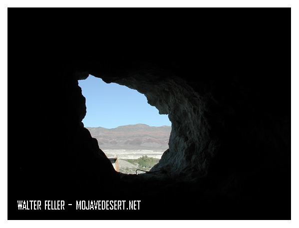
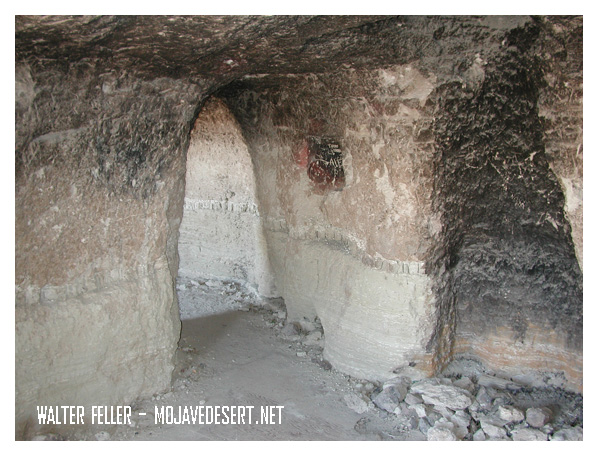
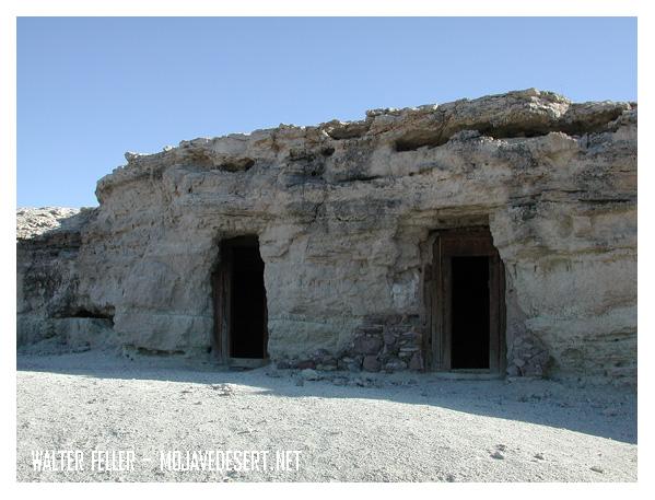
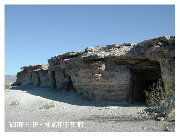
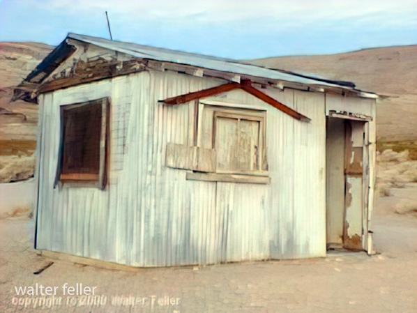
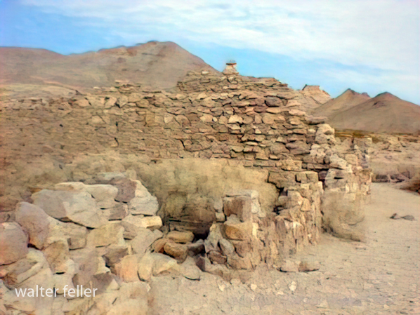
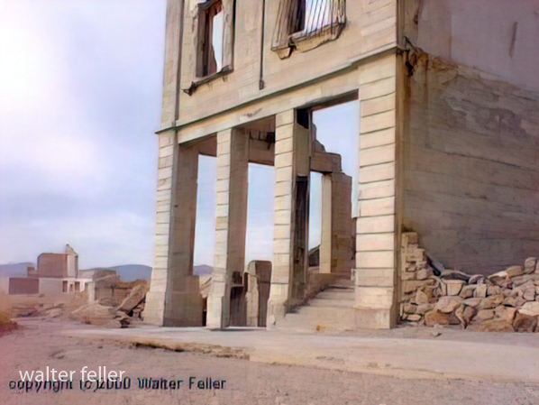
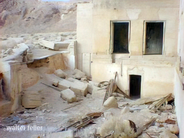
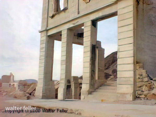
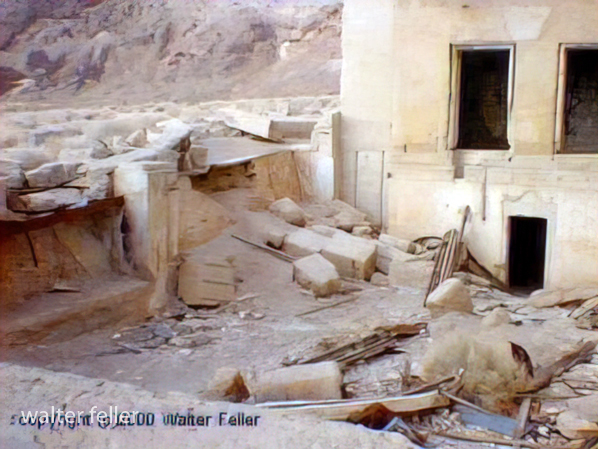
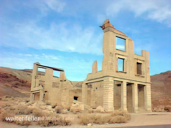
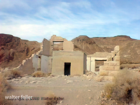
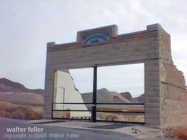
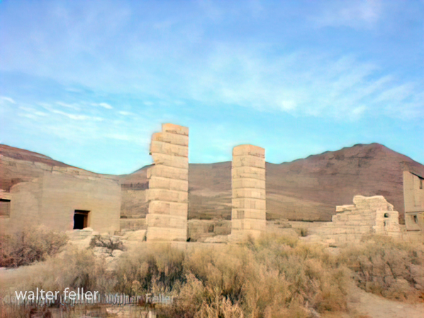
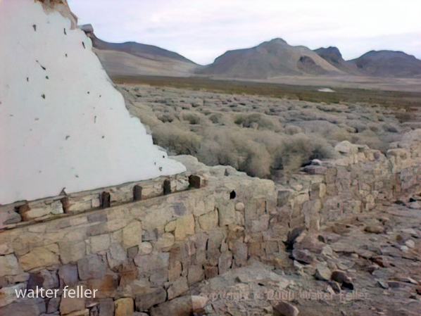
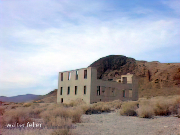
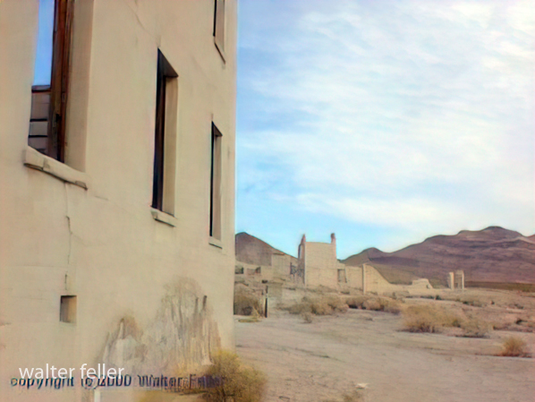
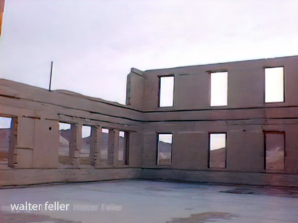
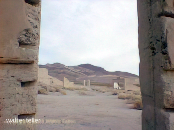
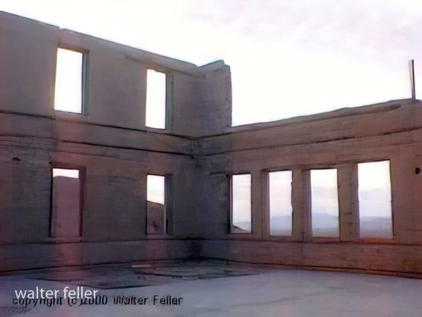
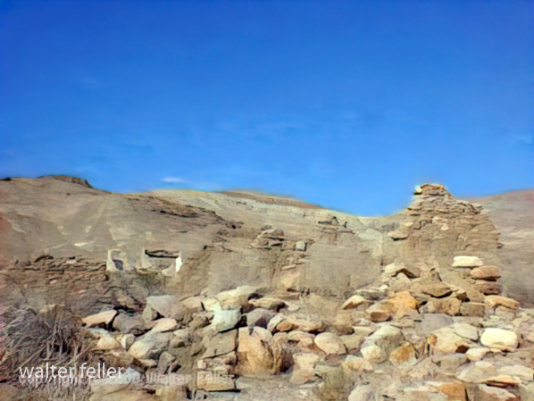
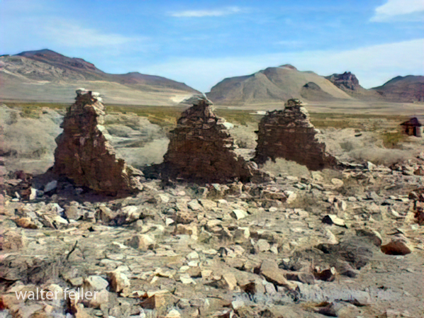
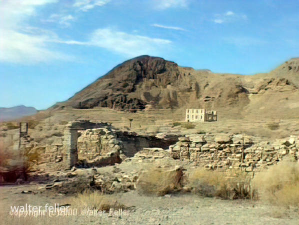
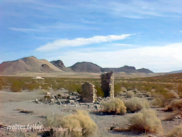
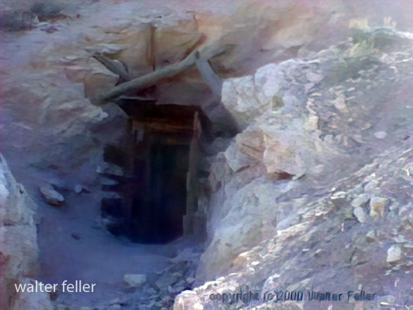
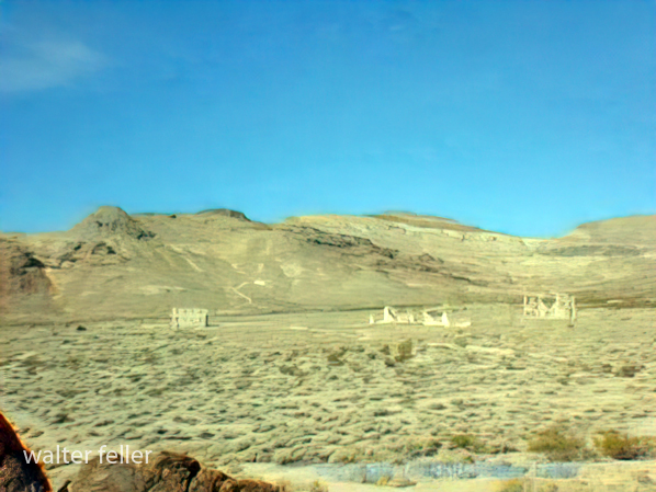
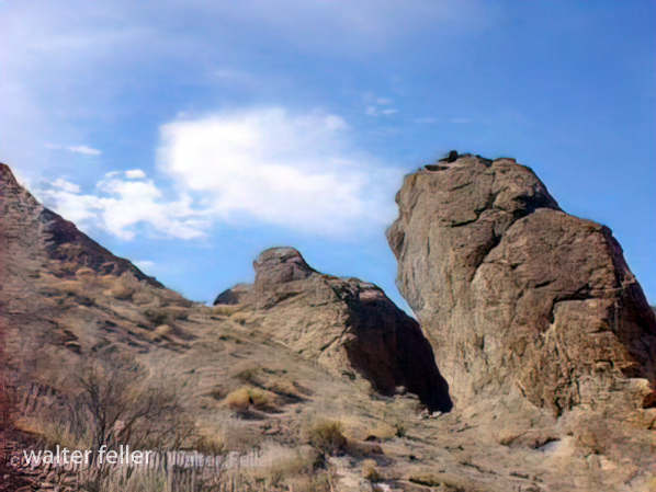
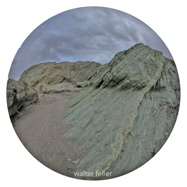
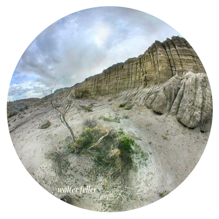
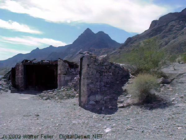
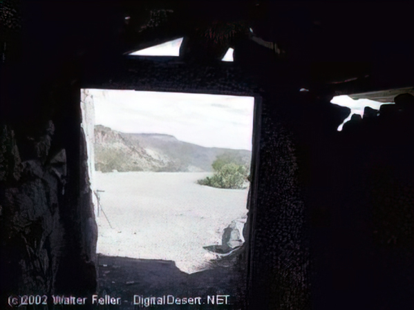
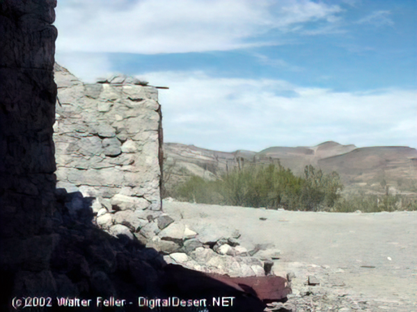
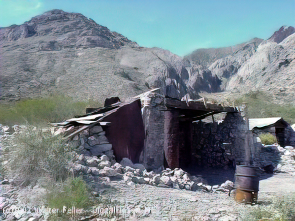
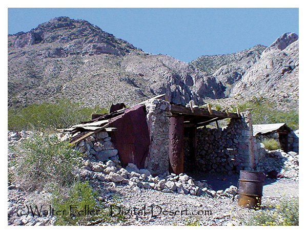
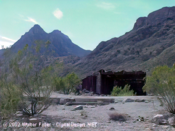
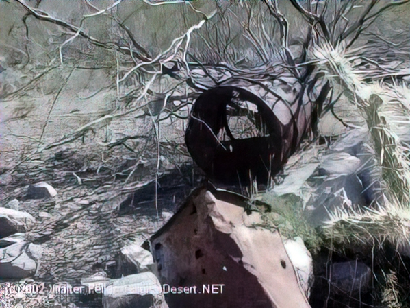
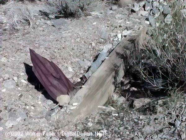
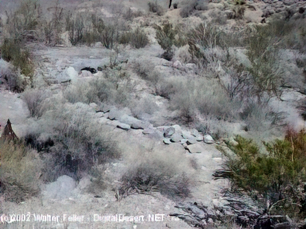
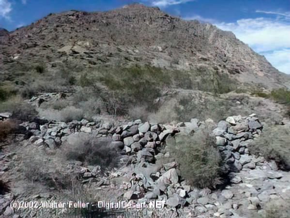
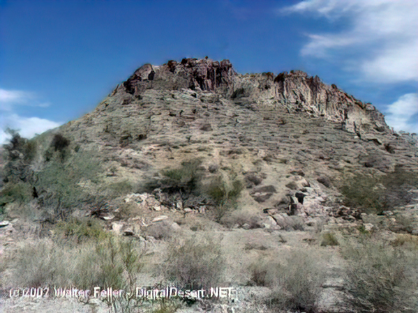
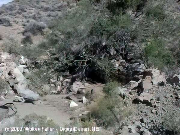
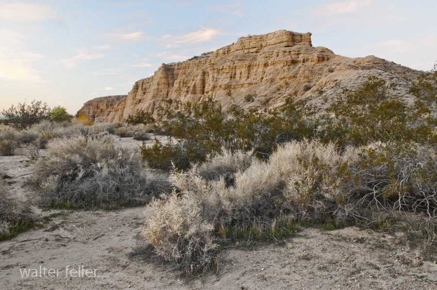
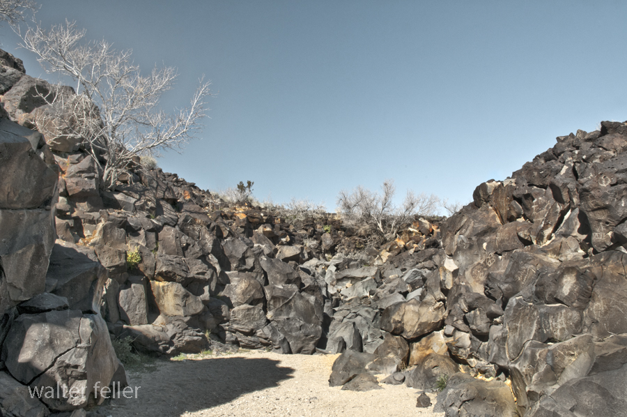
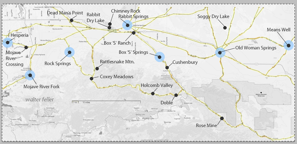
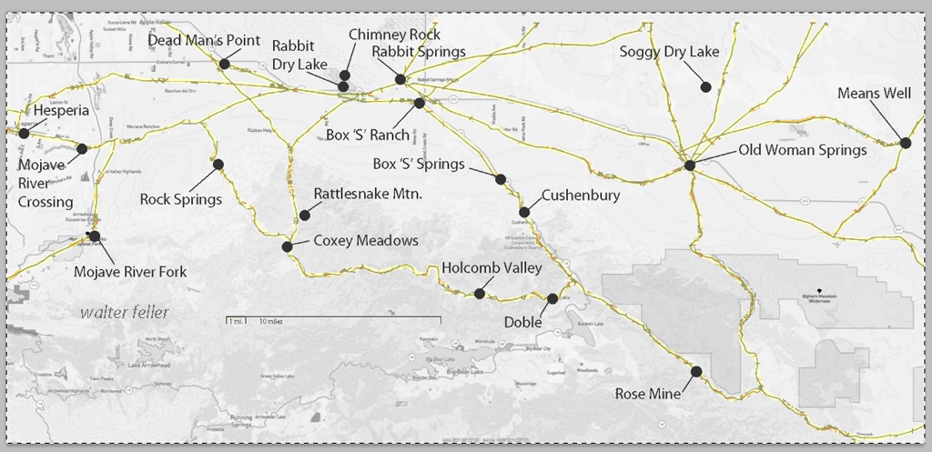
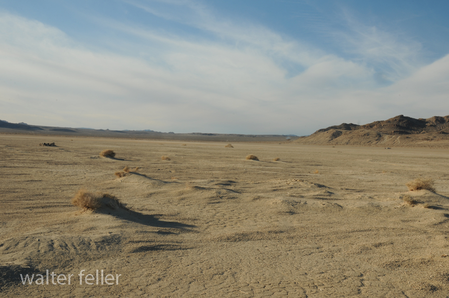
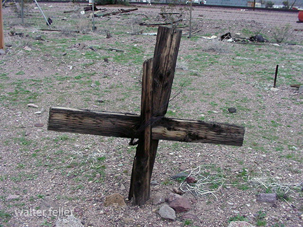
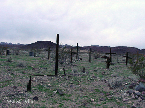
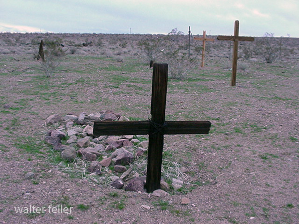
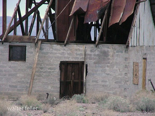
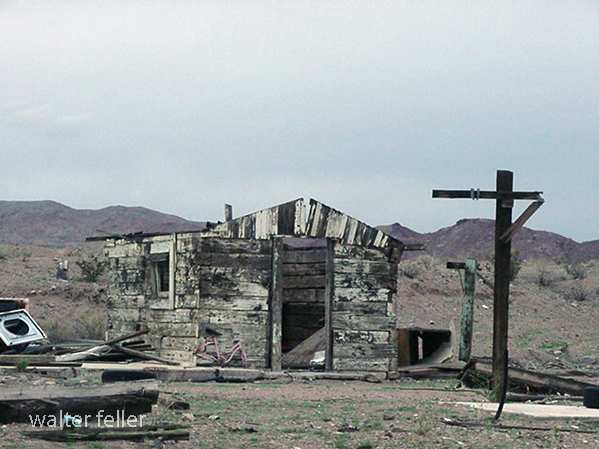
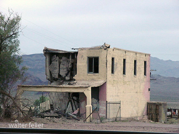
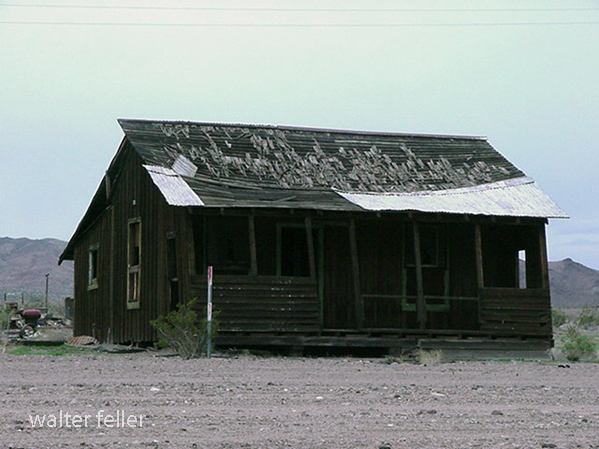
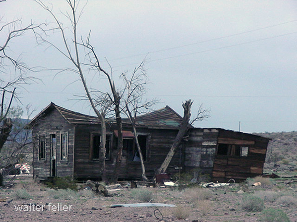
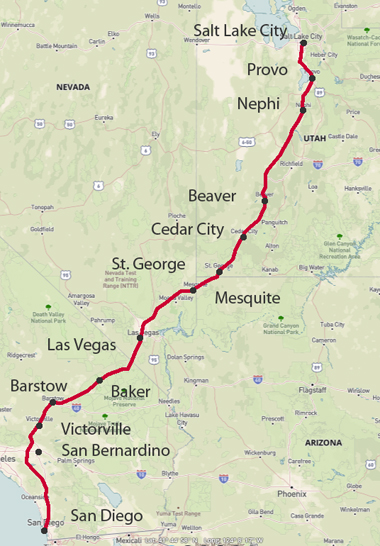
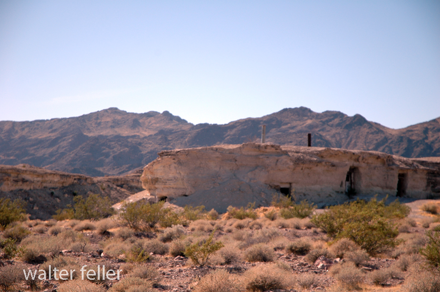
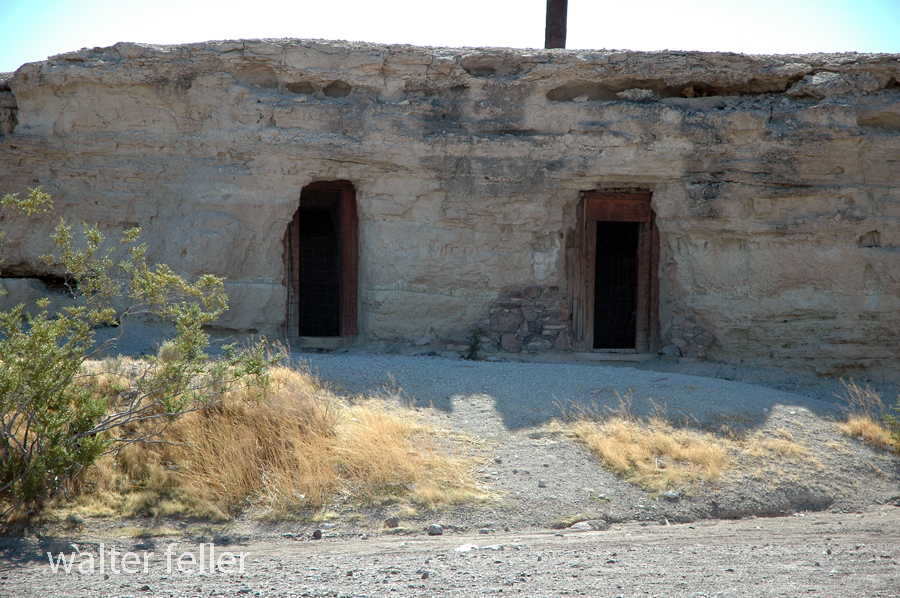
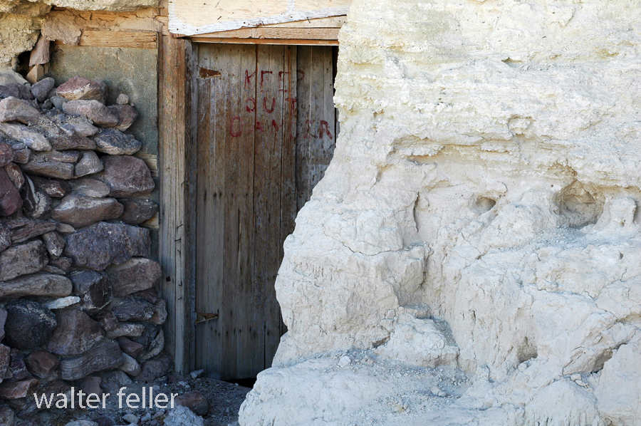
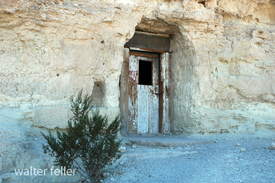
Dublin Gulch in Shoshone, California, is a rich historical site filled with the remains of unique cave dwellings. In the early 1900s, miners and other early settlers dug the caves into soft volcanic ash cliffs. The makeshift shelters protected them against harsh desert weather conditions and extreme temperatures.

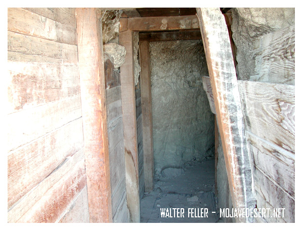
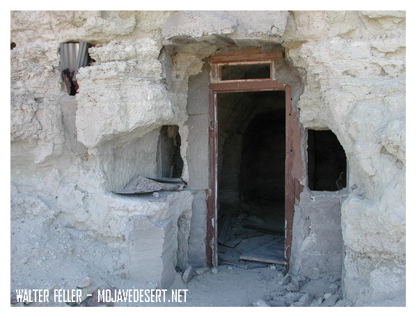
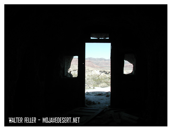
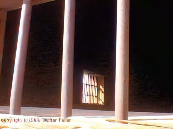
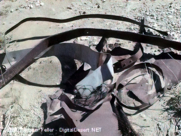
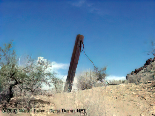
These caves were the dwelling place for miners in nearby mines during the early 20th century. Over a certain period, it did take on a kind of community presence. Some of the dwellings even had windows, doors, and chimneys added to them, making them rather homely. Today, Dublin Gulch is a quirky historic site where, among other things, one can see the cave homes and feel what life in the desert must have been like over a century ago.

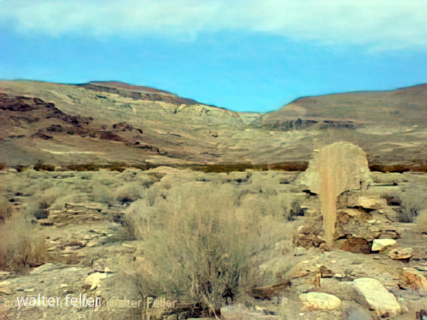
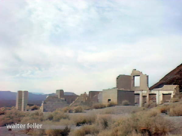
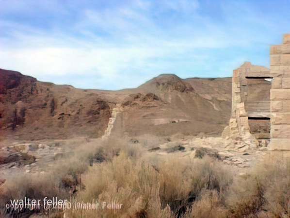
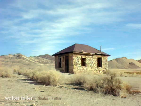
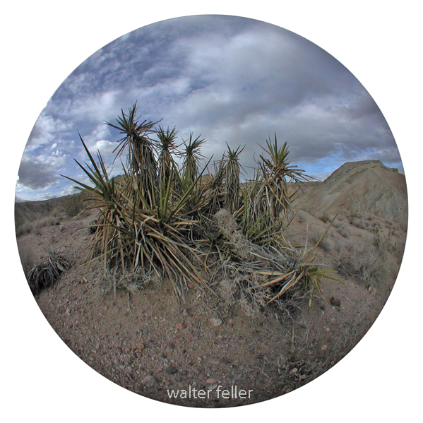
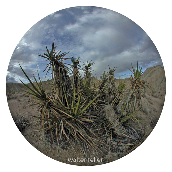
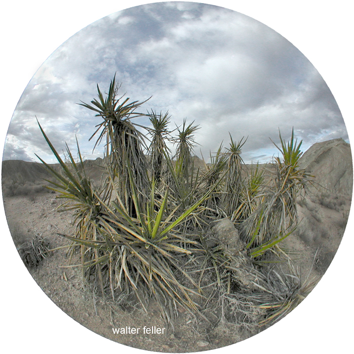
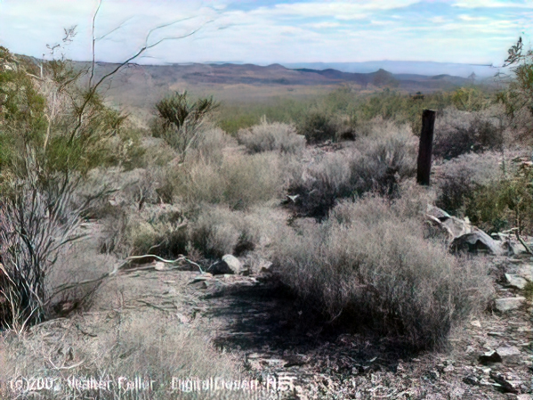
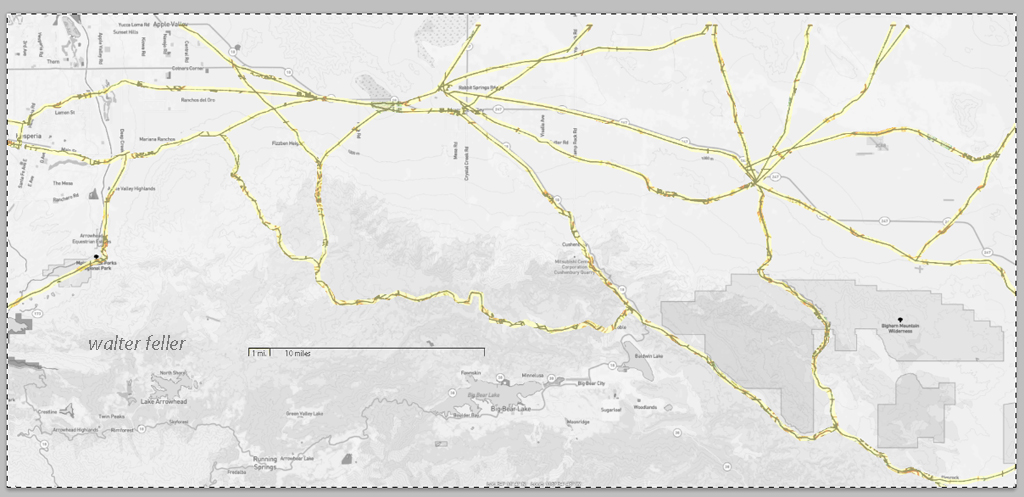
Dublin Gulch is situated near the small town of Shoshone, one of the important points that both travelers and miners had to pass through in the early 1900s. It lies close to Death Valley and several mining areas. A small piece of history, it offers a glimpse into the rugged, resourceful lives that were lived early on.

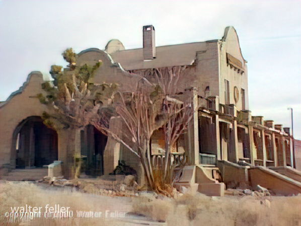
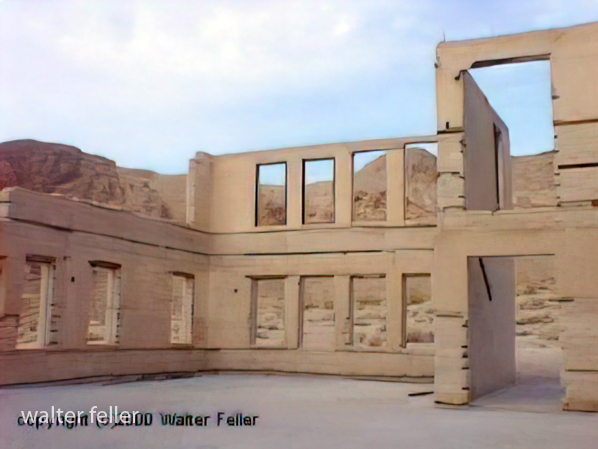
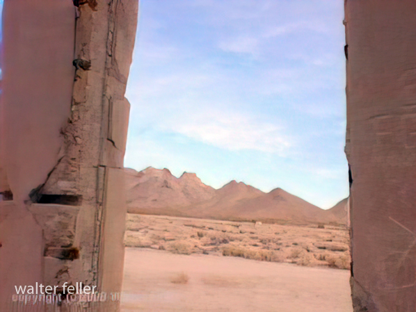
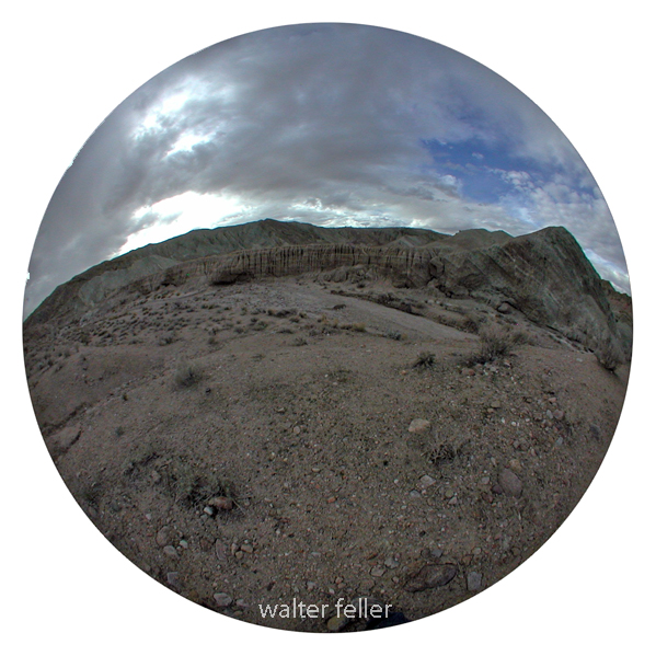
Dublin Gulch, Shoshone, Ca. – 2015

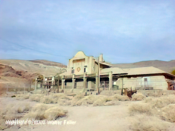
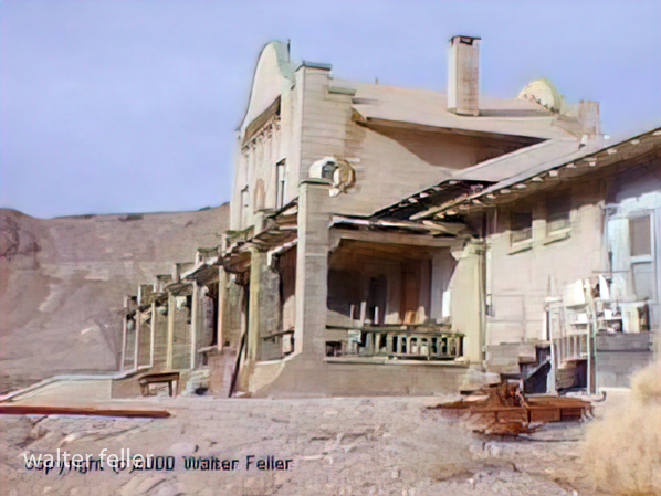
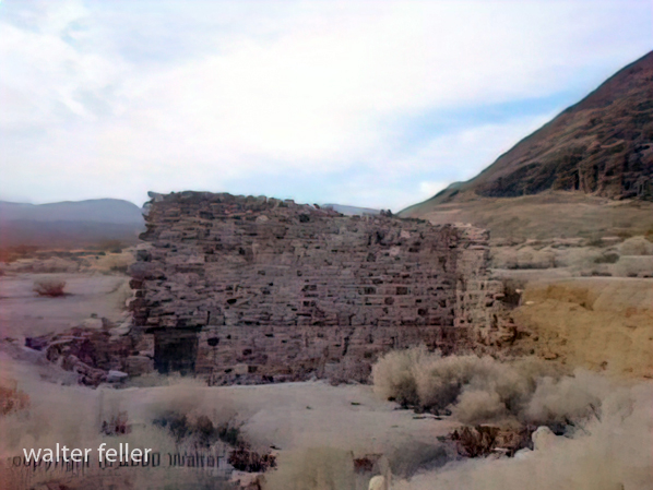
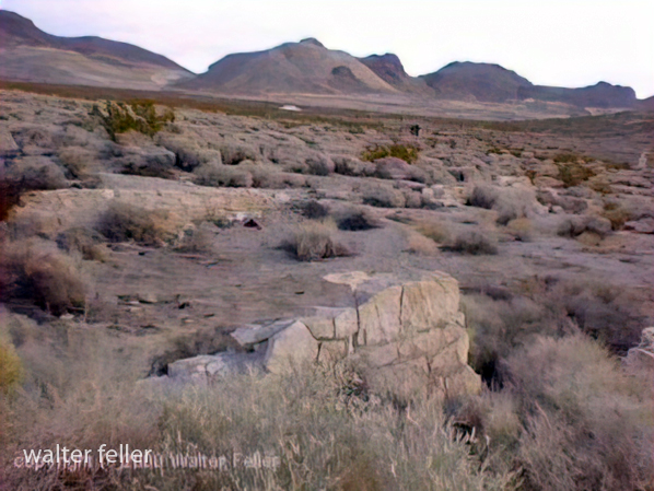
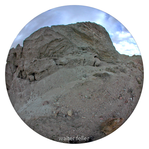
Dublin Gulch, Shoshone, Ca. – 2003

Providence Ghost Town

These photos were shot in 2003 with a Sony Mavica digital camera. Unfortunately, the original full-size (still low resolution) photos were lost. These images have been recovered from 320×240 images that were posted on the Digital-Desert website.

“In the spring of 1880, George Goreman and P. Dwyer, prospectors from Ivanpah, discovered rock that assayed from $640 to $5,000 a ton in silver. Their discovery, about 15 miles south of the old Macedonia District, was the birth of the Bonanza King Mine.”

Providence, Ca.

January 2022 Edits

Canada Geese at Saratoga Springs, Death Valley National Park

Owl Canyon

Owl Canyon

Owl Canyon

Apple Valley, Ca.

Ambient Sunrise

Coxcomb Mountains

Apple Valley – Joshua Tree Forest

Zzyzx – Desert Studies Center

Techatticup Mine – Eldorado Canyon, Nelson, Nevada – 3/2015

Nelson, Nevada – 3/2015

Lucerne Dry Lake

Tomorrow’s Sunrise

Wild Places – Cougar Buttes

The high country is different than the low country. The high country is higher and of course the low country, lower.

Petroglyphs – February 2011

Lucerne Valley Road Network – 1901

These maps are based on a USGS 1901 base map and overlay onto a current street map. This series was developed to show how the dependence on potable water for man or beast shaped the transportation network in the late 19th Century.

This map identifies various geographic locations, general features, and roads throughout the Lucerne & Johnson valleys as it was in 1901.

The blue marks show reliable water and rest stops as would be used by travelers and teamsters. These water stops are roughly 10 miles apart as the roads go.

The generalized trails connecting the water and rest stops are highlighted. A few redundant and miscellaneous trails have been purposely omitted for clarity.

This map has had the 1901 base map replaced with a current street map.

This map has had the water node locations removed.

Finally, the 1901 trails have been highlighted and the location labels removed for clarity in showing the relationship between the roads then and now.

Soggy Dry Lake

Soggy Dry LakeJohnson Valley

Playa formation – “A playa is a dry, vegetation-free, flat area at the lowest part of an undrained desert basin. It is a location where ephemeral lakes form during wet periods, and is underlain by stratified clay, silt, and sand, and commonly, soluble salts. Playas occur in intermountain basins throughout the arid southwestern United States. Although playas may appear as featureless plains, they are rich in features and characteristics that can reveal information about climates, past and present. “