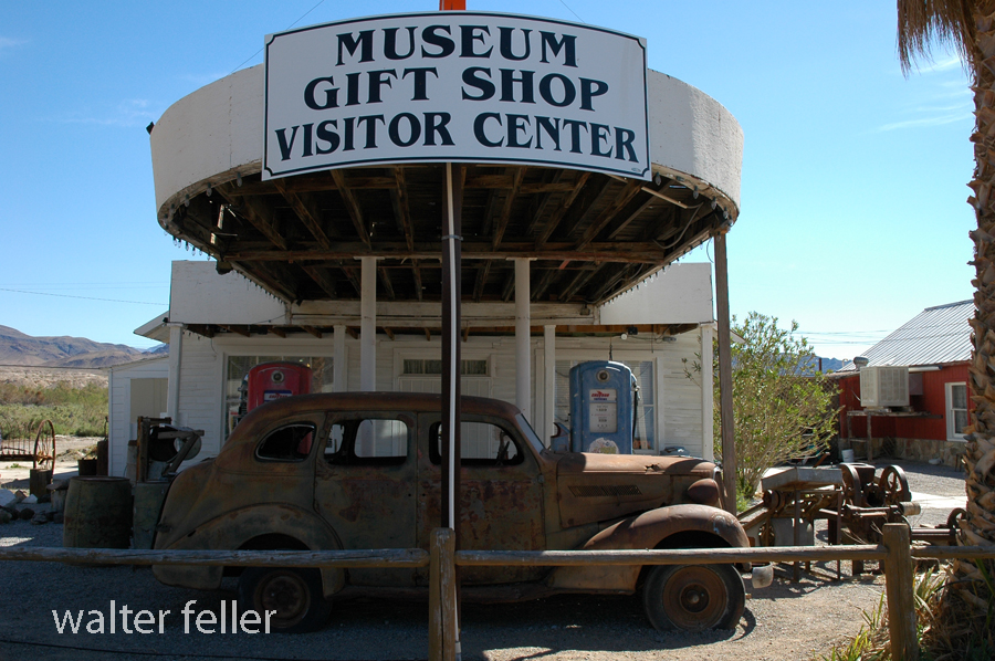
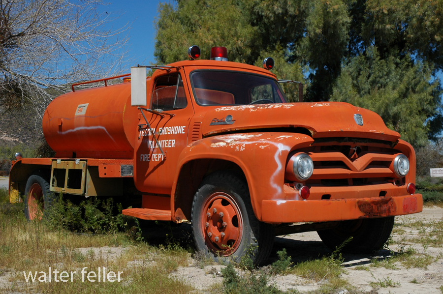
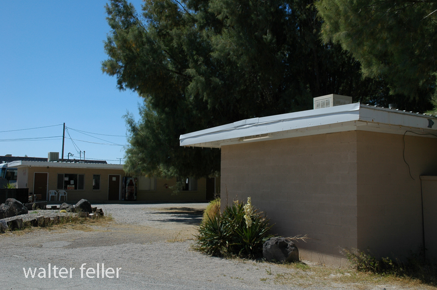
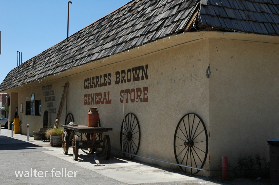
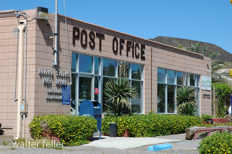
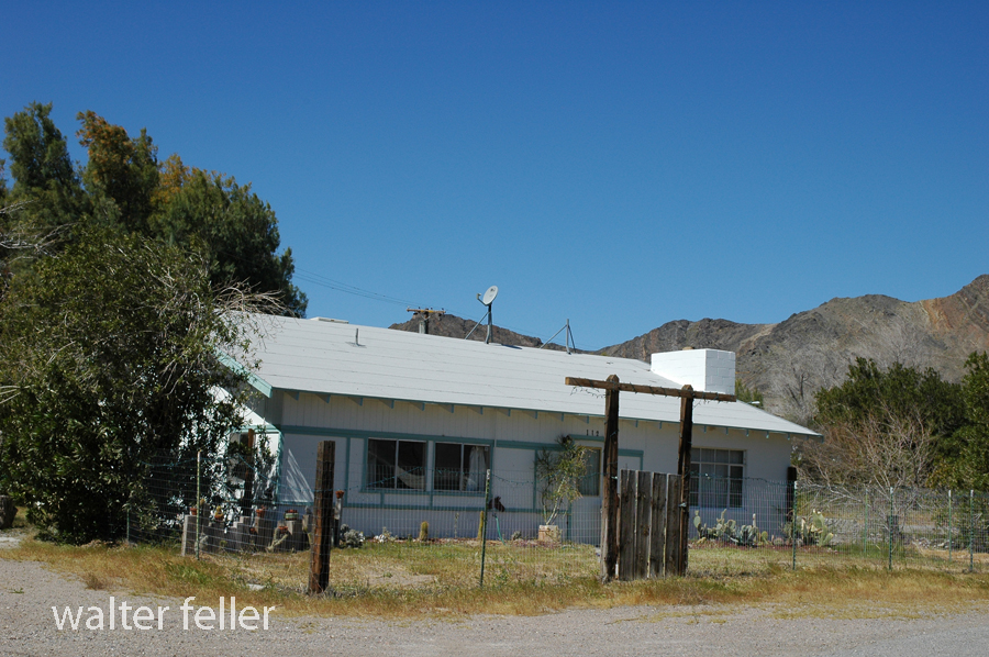
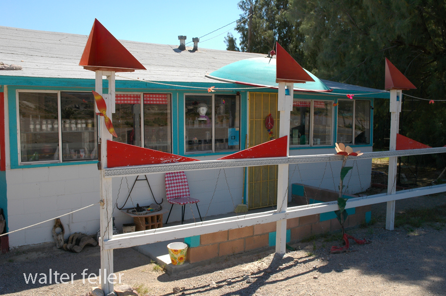
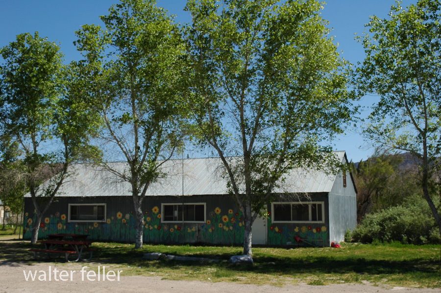
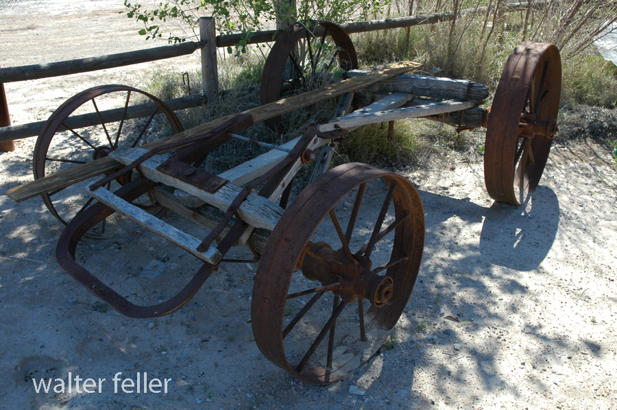
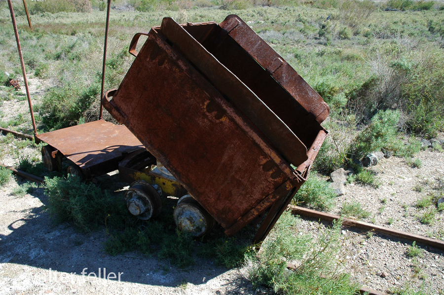
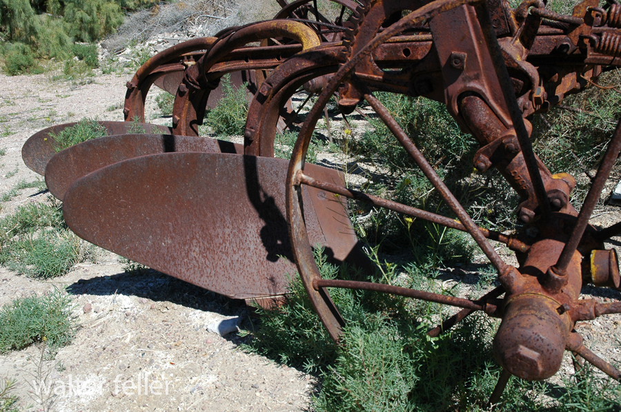
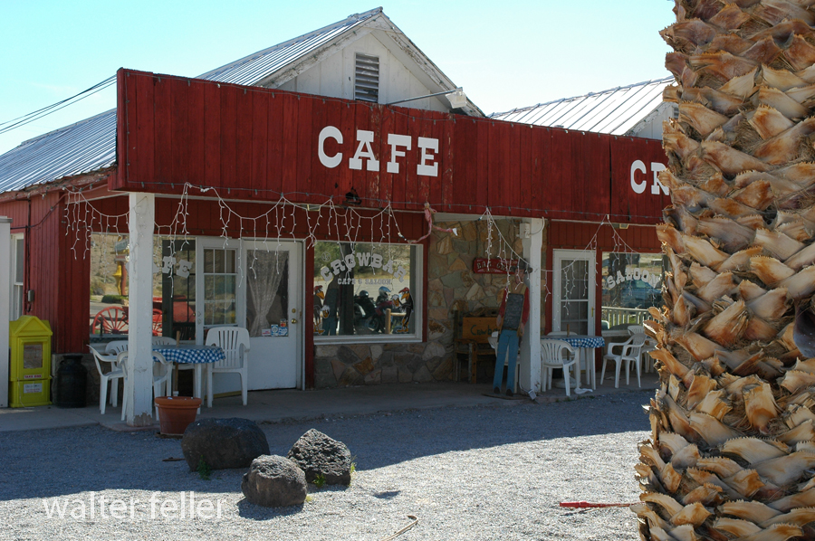
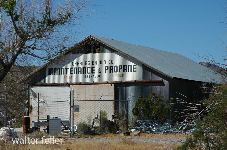
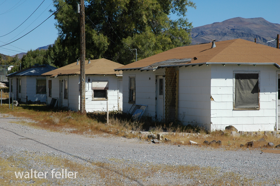
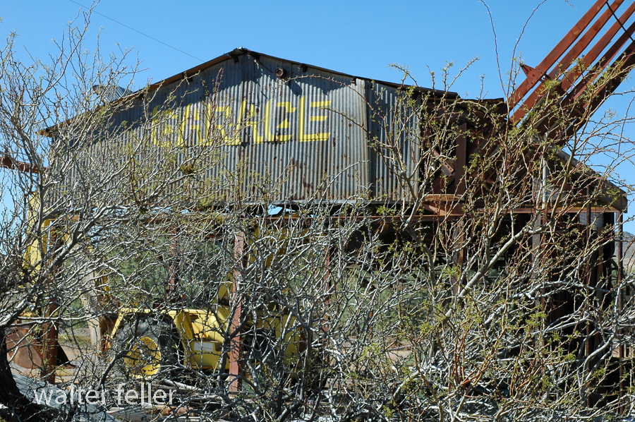
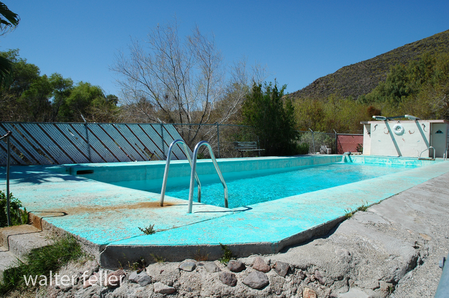
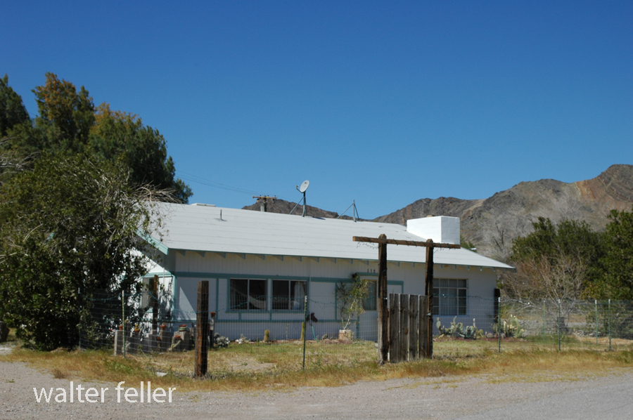
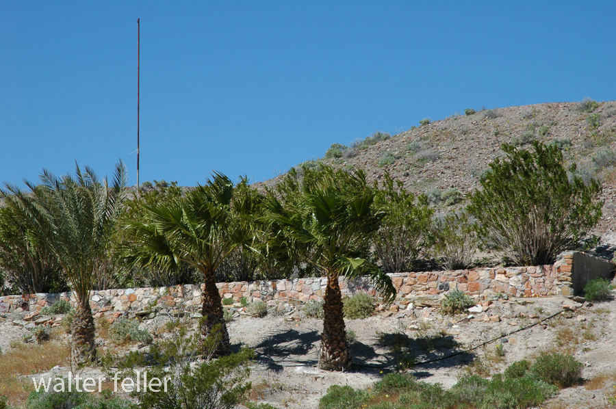
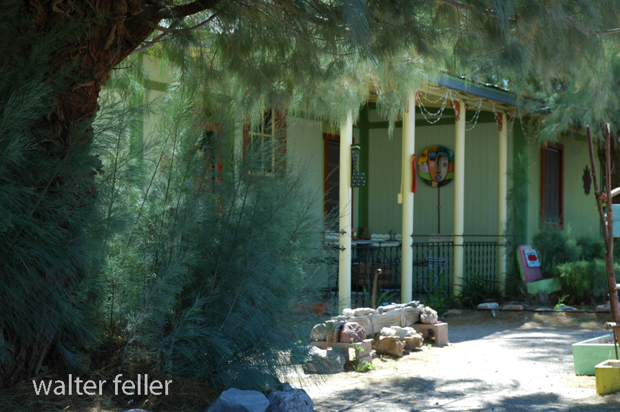
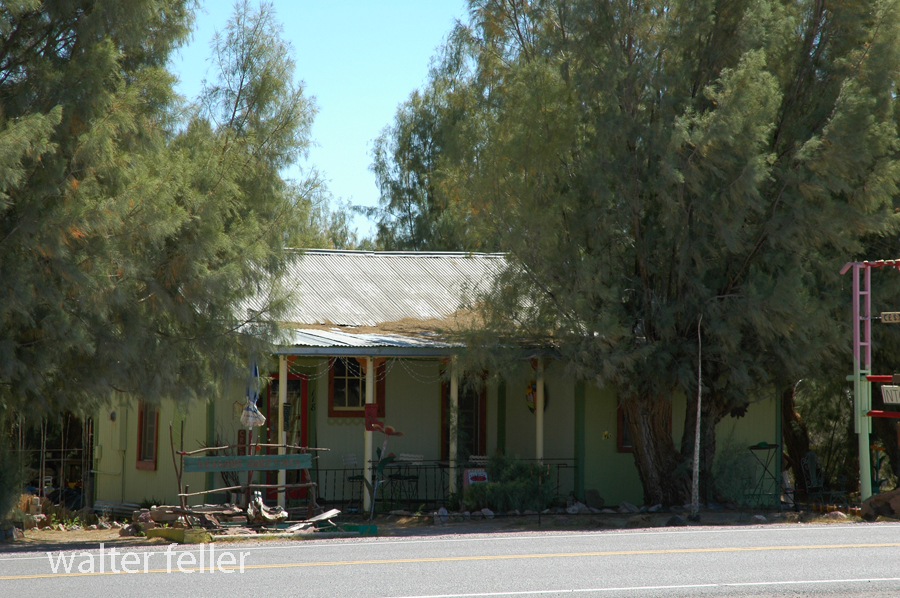
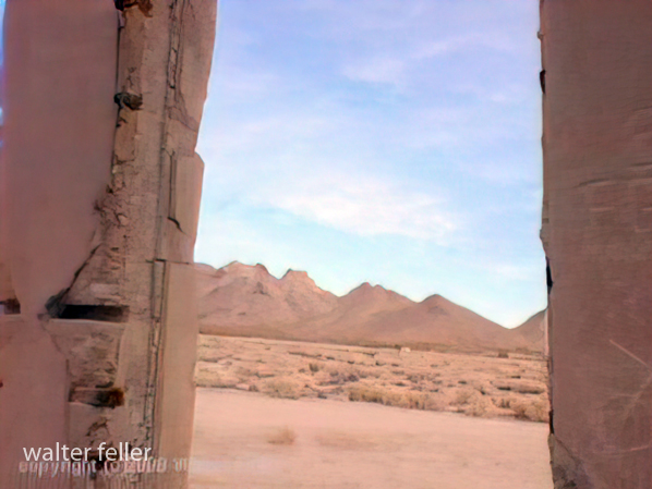
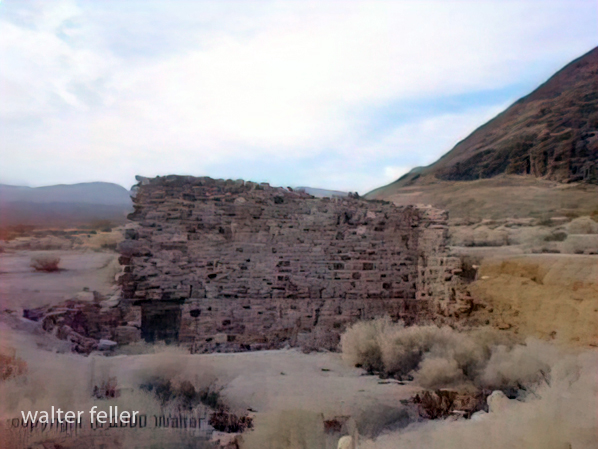
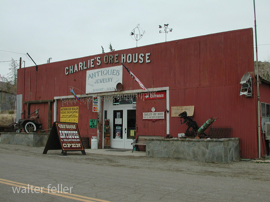
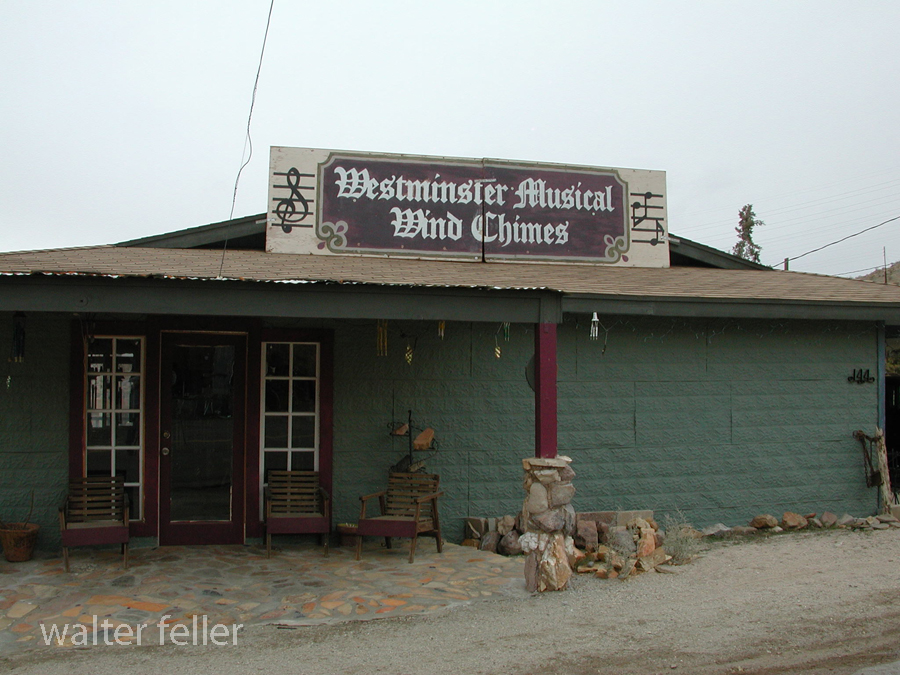
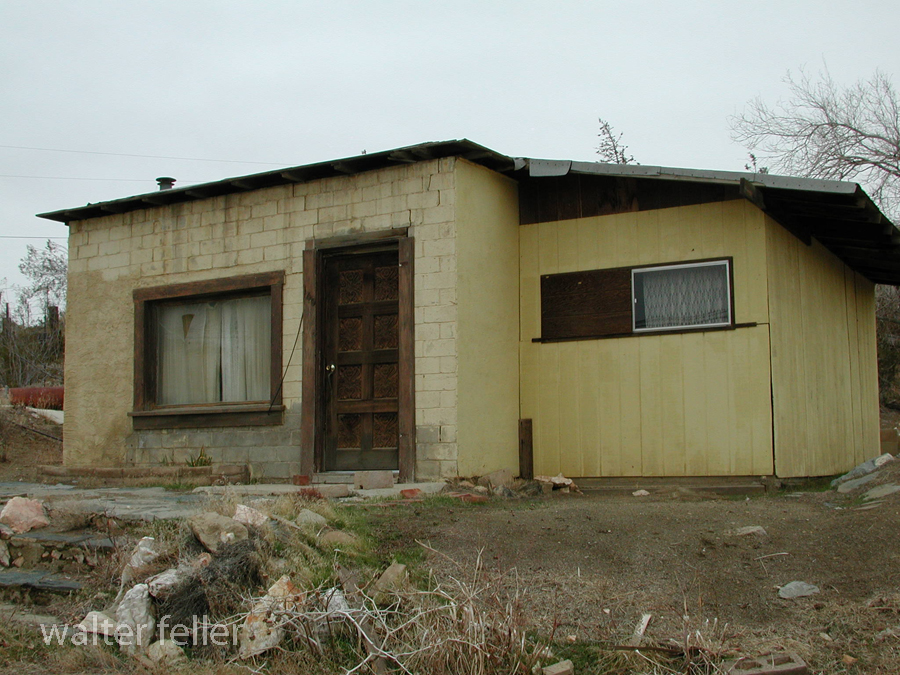
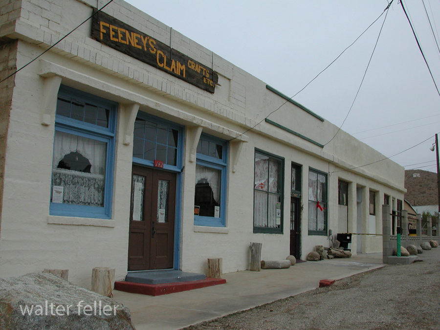
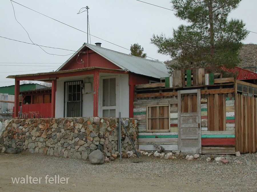
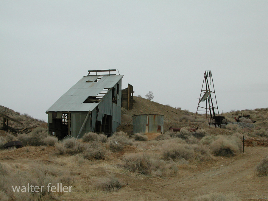
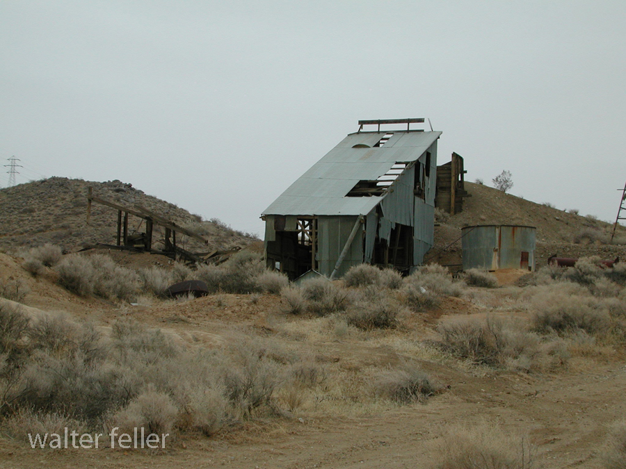
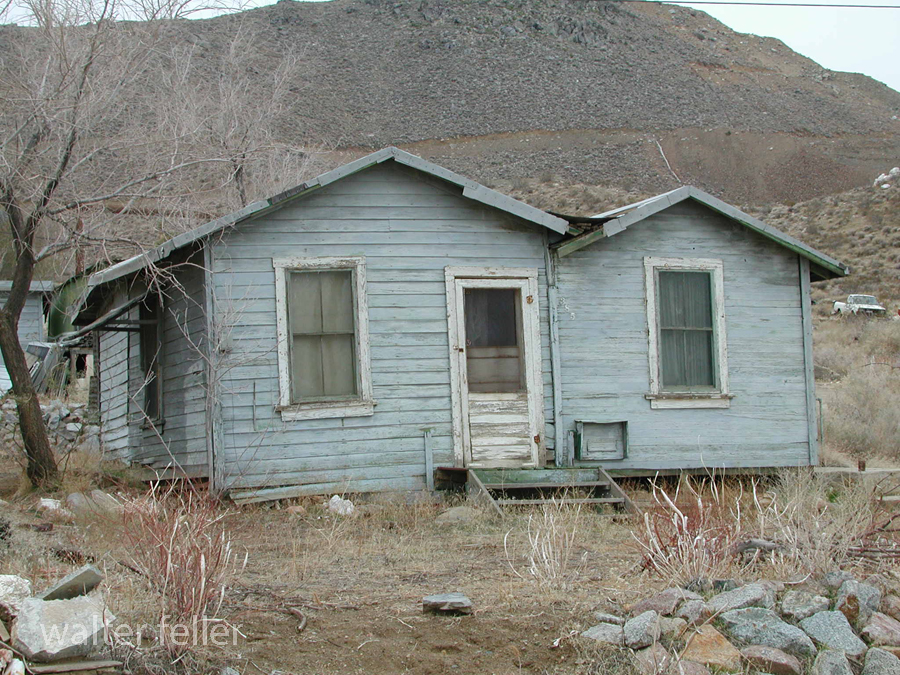
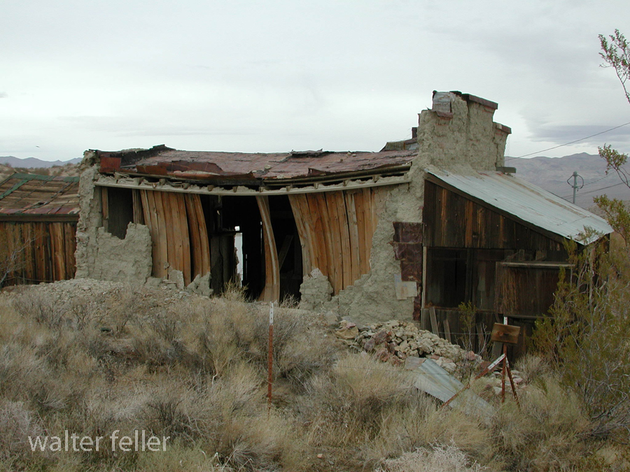
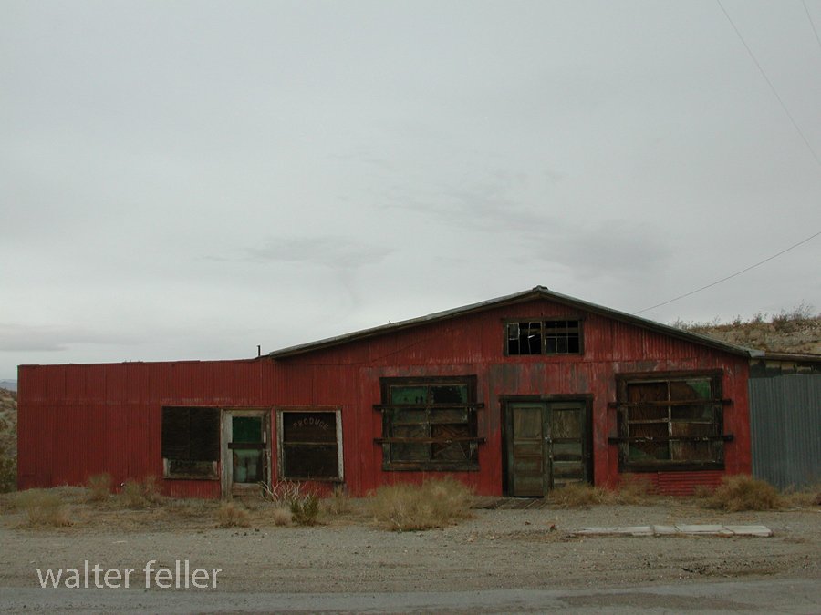
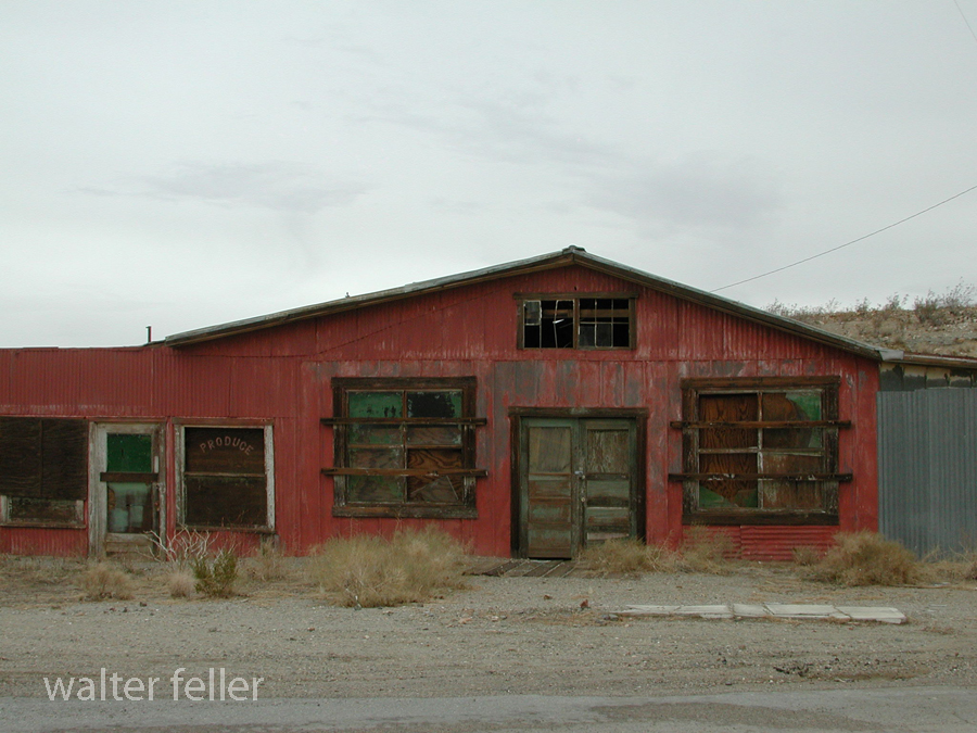
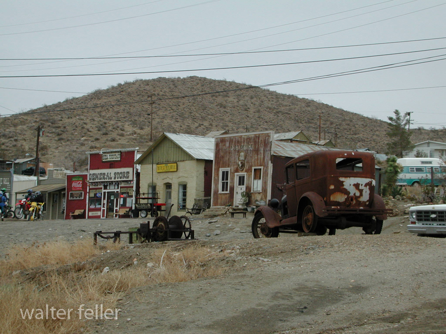
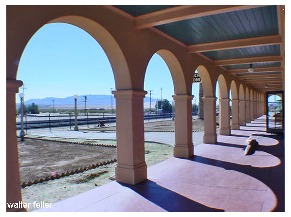
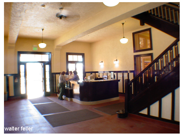
Shoshone, Ca. – 2005
Category: History
Rhyolite -Ghost Town
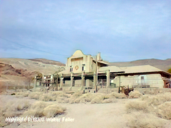
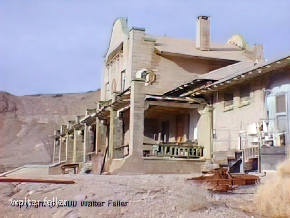
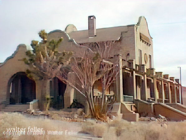
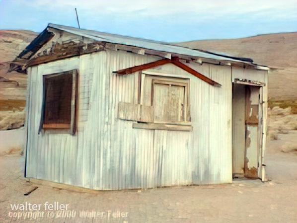
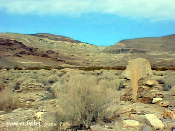
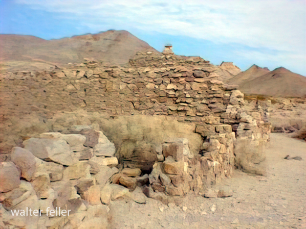
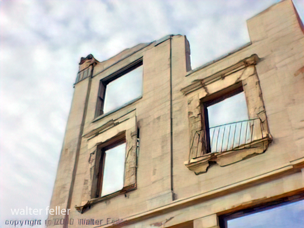
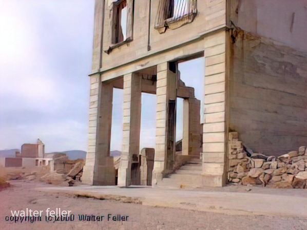
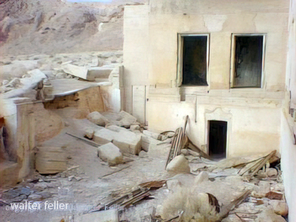
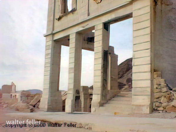
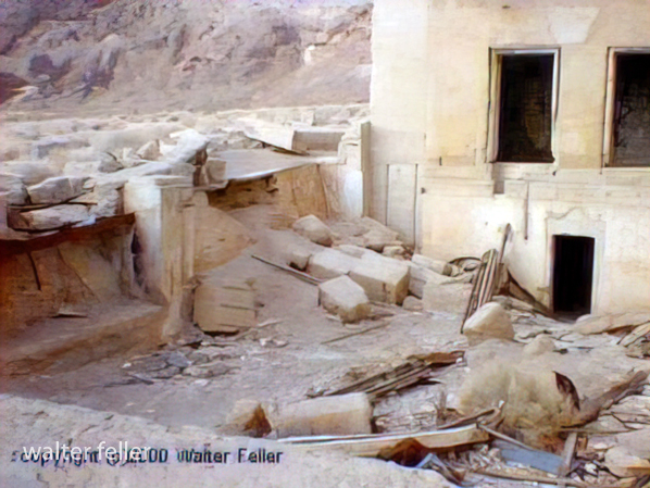
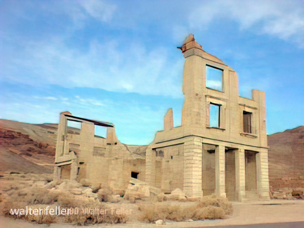
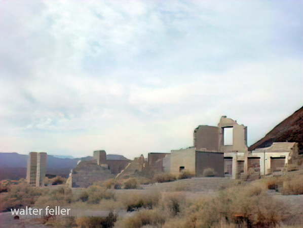
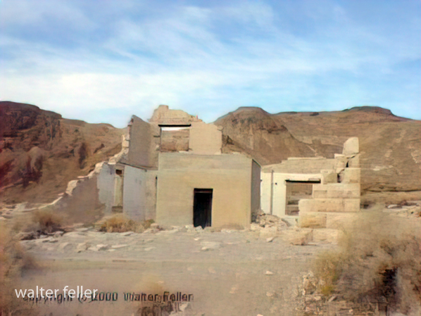
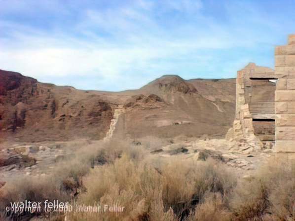
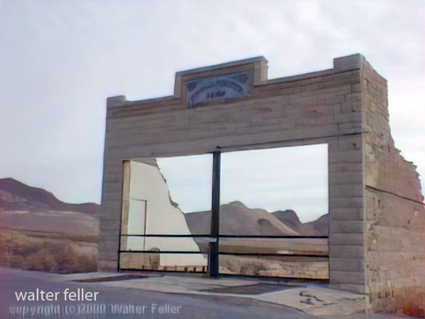
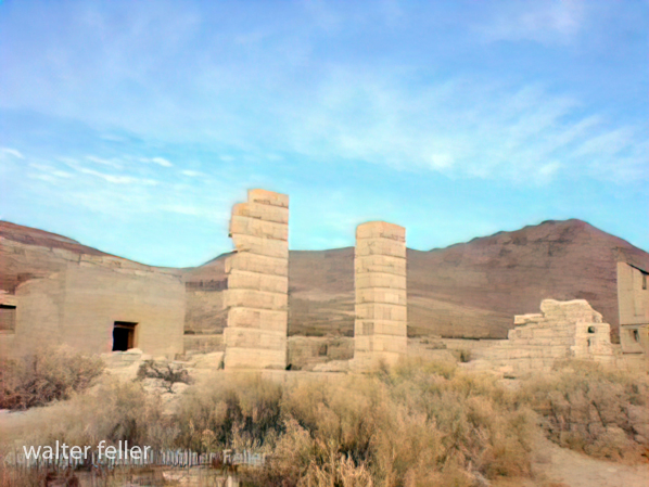
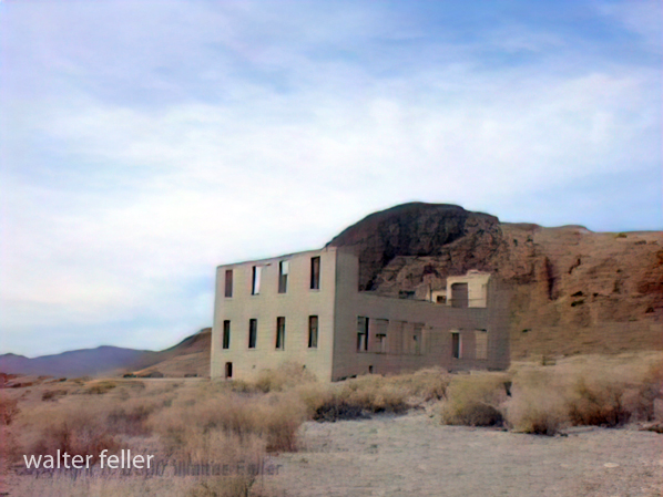
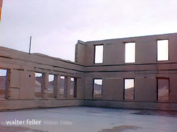
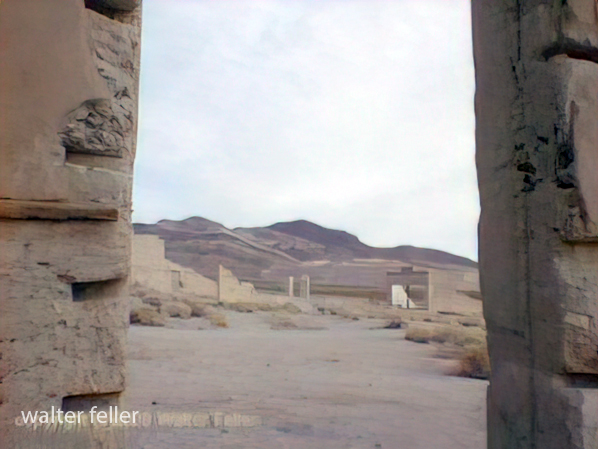
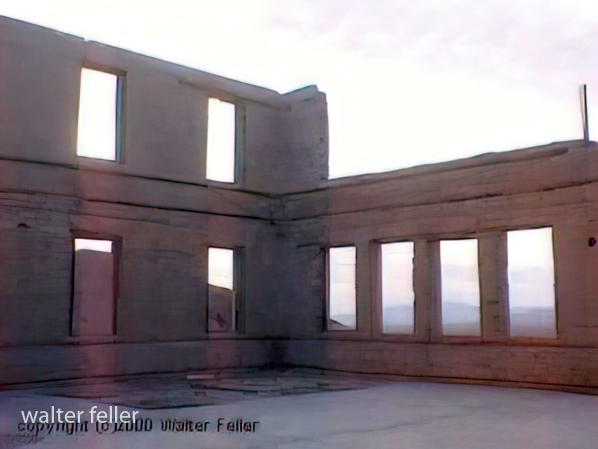
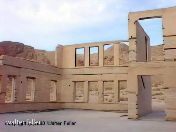
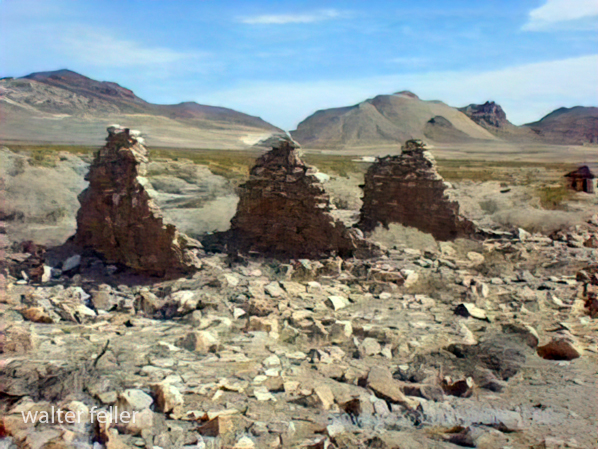
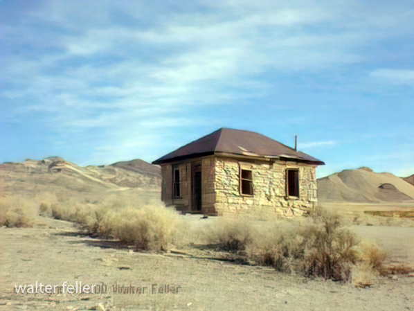
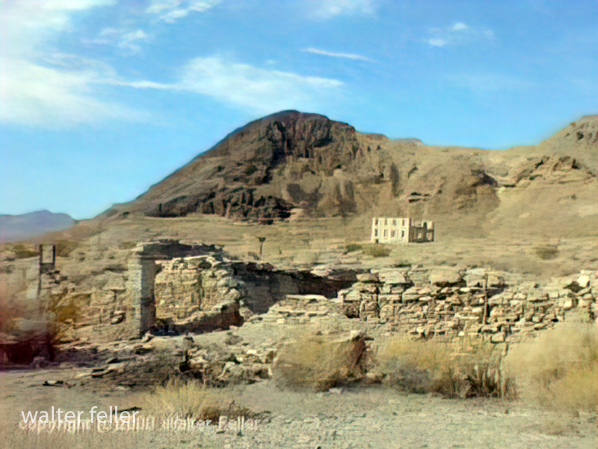
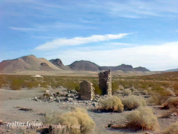
Photos of Rhyolite, Nevada – 2000
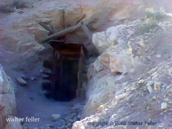
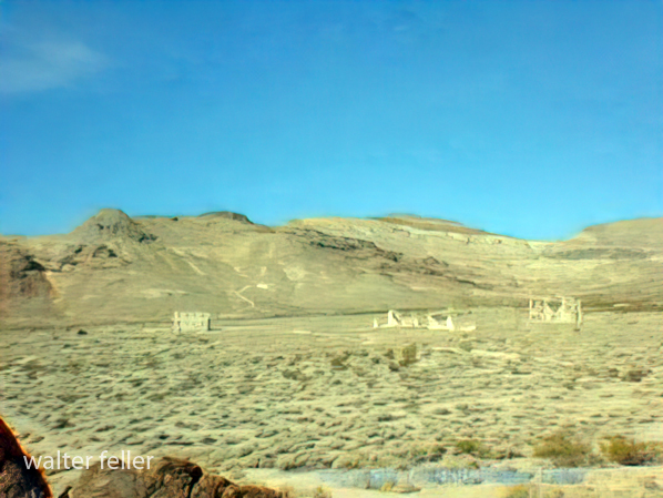
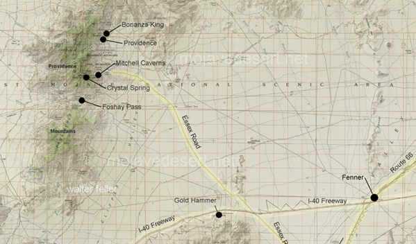
Providence Ghost Town
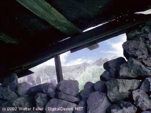
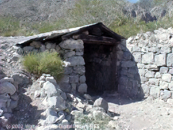
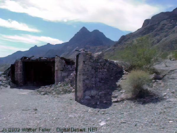
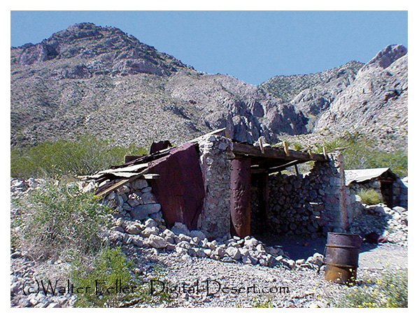
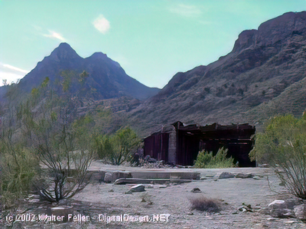
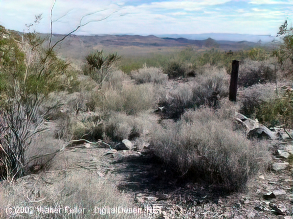
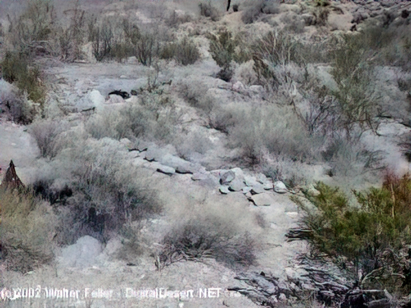
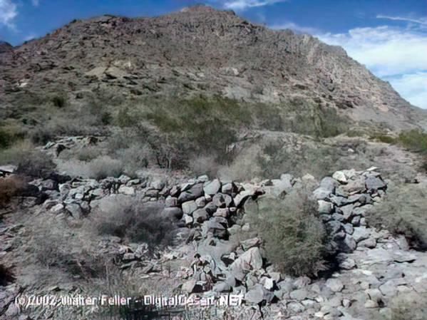
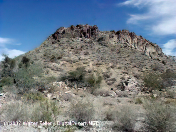
These photos were shot in 2003 with a Sony Mavica digital camera. Unfortunately, the original full-size (still low resolution) photos were lost. These images have been recovered from 320×240 images that were posted on the Digital-Desert website.
“In the spring of 1880, George Goreman and P. Dwyer, prospectors from Ivanpah, discovered rock that assayed from $640 to $5,000 a ton in silver. Their discovery, about 15 miles south of the old Macedonia District, was the birth of the Bonanza King Mine.”
Providence, Ca.






Lucerne Valley Road Network – 1901
These maps are based on a USGS 1901 base map and overlay onto a current street map. This series was developed to show how the dependence on potable water for man or beast shaped the transportation network in the late 19th Century.
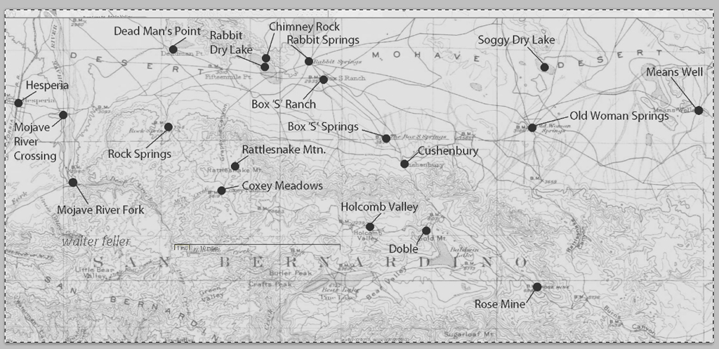
This map identifies various geographic locations, general features, and roads throughout the Lucerne & Johnson valleys as it was in 1901.
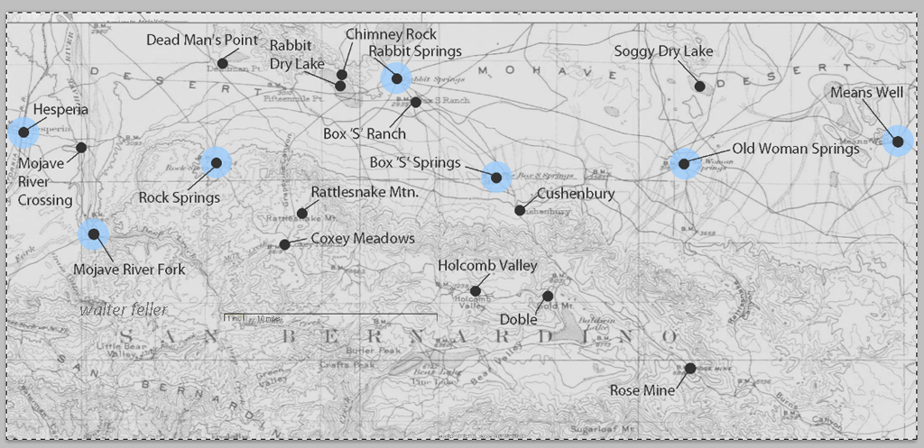
The blue marks show reliable water and rest stops as would be used by travelers and teamsters. These water stops are roughly 10 miles apart as the roads go.
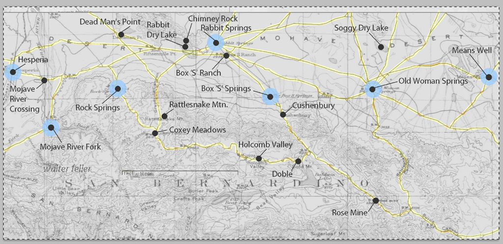
The generalized trails connecting the water and rest stops are highlighted. A few redundant and miscellaneous trails have been purposely omitted for clarity.
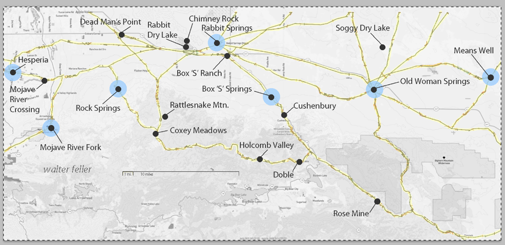
This map has had the 1901 base map replaced with a current street map.
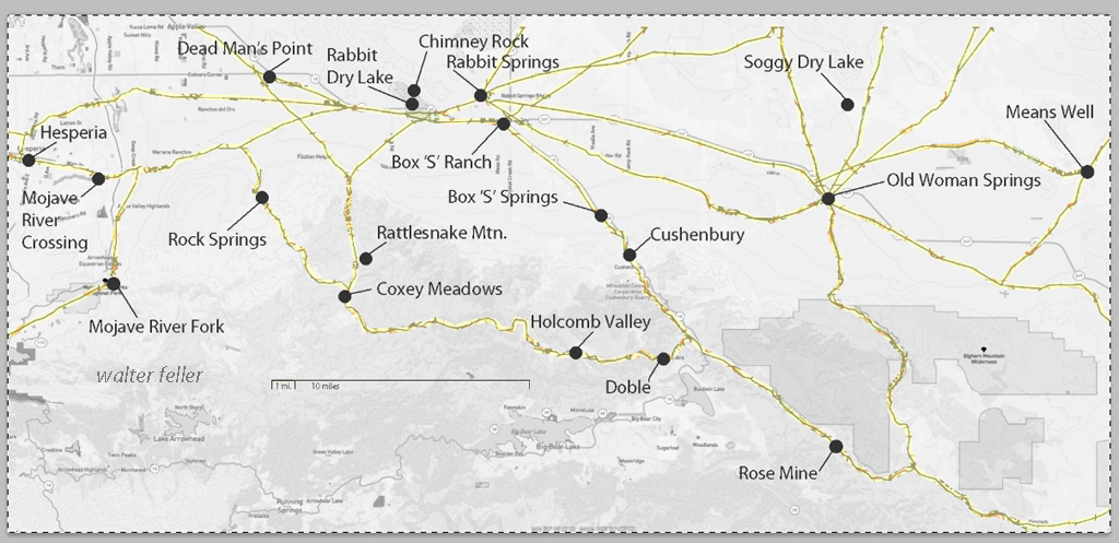
This map has had the water node locations removed.
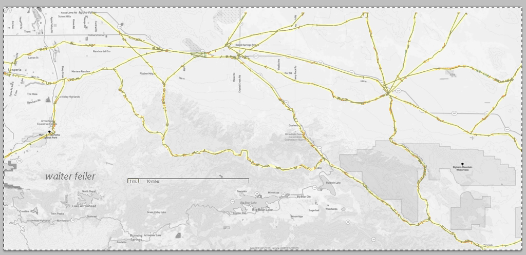
Finally, the 1901 trails have been highlighted and the location labels removed for clarity in showing the relationship between the roads then and now.
Death Valley’s Lost ’49ers
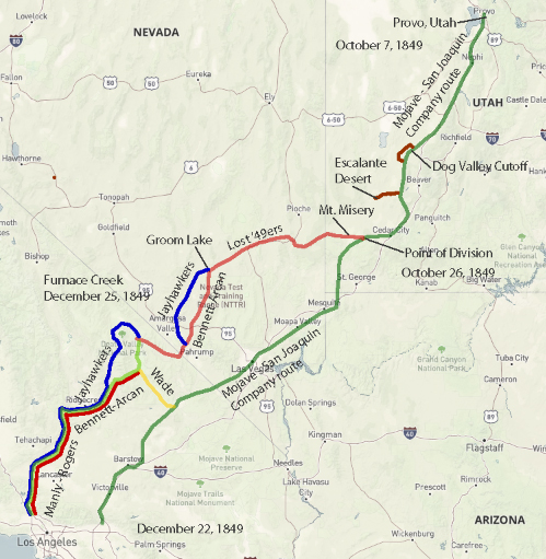
Jefferson Hunt’s Mojave San Joaquin Company, a wagon train made up of anxious gold seekers and settlers frustrated by a late start across the desert in late 1849 join with Captain Hunt to be guided across the Mojave Desert along the new southern route. Tensions rise with a wrong venture into the Escalante Desert and at a point east of Enterprise, and north of Mountain Meadows, Utah, anarchy ensues and the train breaks up into two factions; those who will become lost and those who will go on as planned. Of the 107 wagons in this once large party, only seven wagons remain.
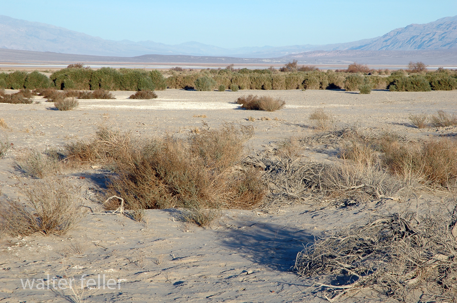
Furnace Creek, Death Valley National Park
On December 22, 1849, the ‘Mojave Sand-walking Company,’ as it became known, arrived in San Bernardino, California. At the same time the remaining ‘Lost ’49ers,’ about one-quarter of those who broke away originally, were entering the desolate Death Valley and would be celebrating Christmas Day near what we know as Furnace Creek.
Death Valley in 1849
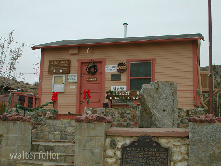
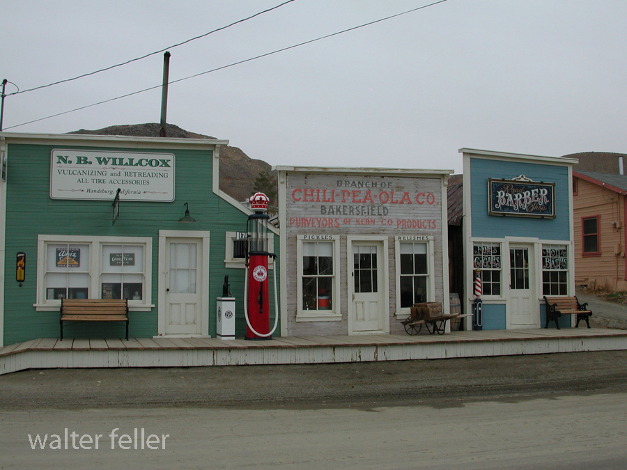
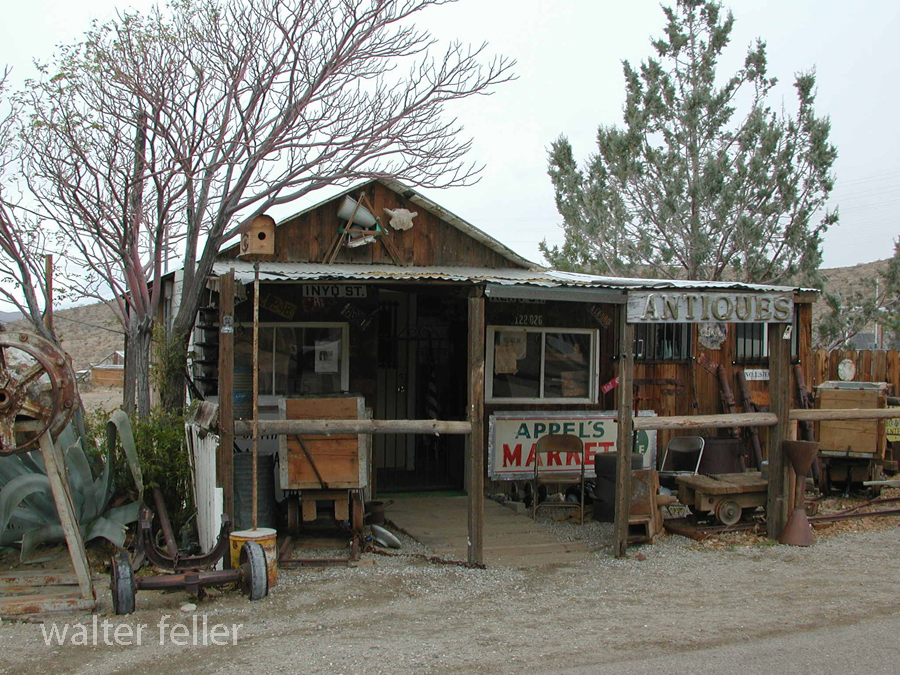
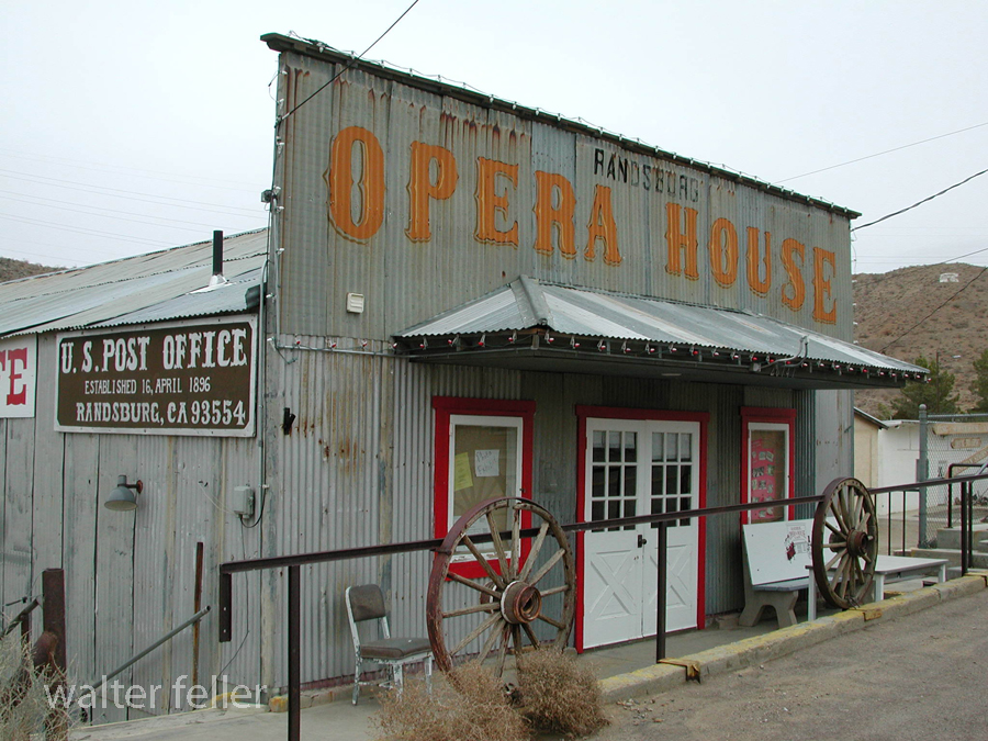
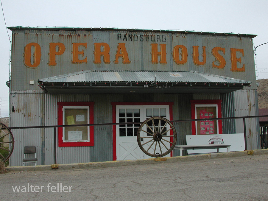
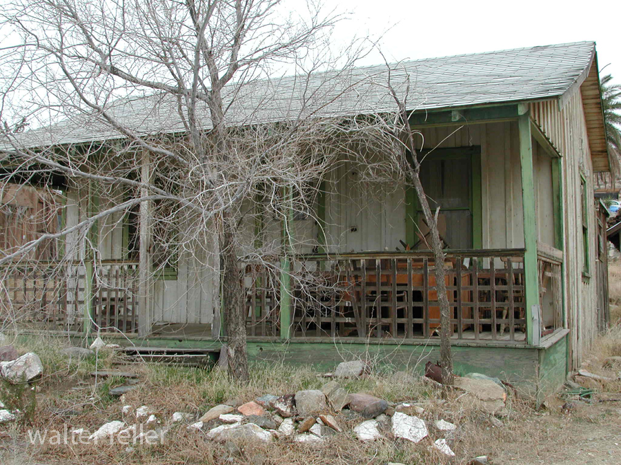
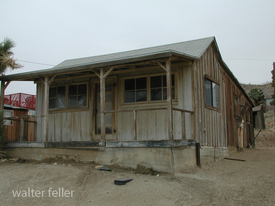
Randsburg – 2004
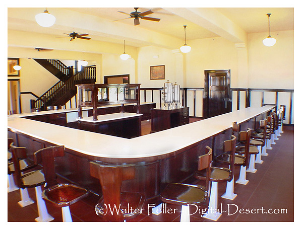
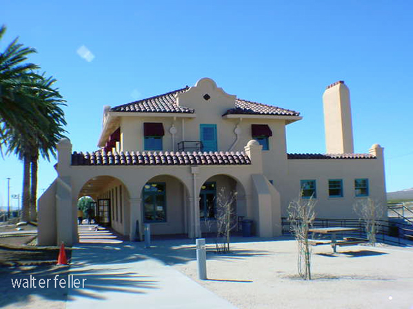
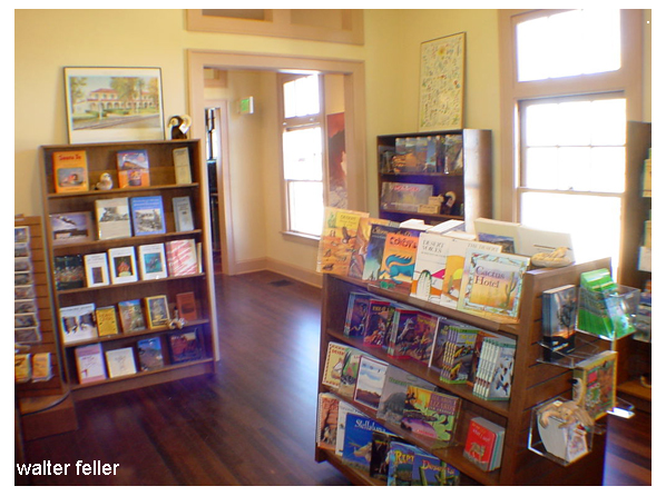
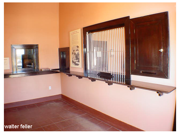
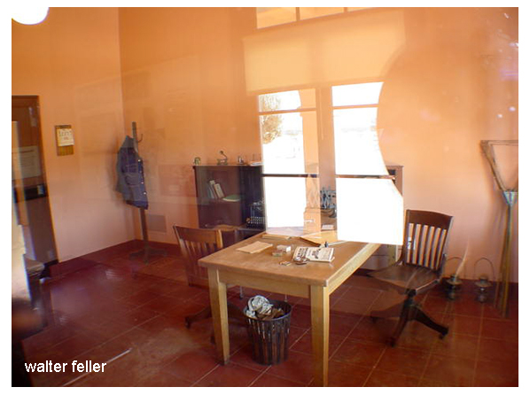
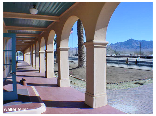
Kelso Depot
Kelso Depot – Mojave National Preserve – 2006
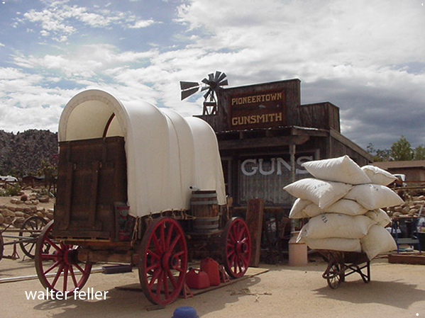
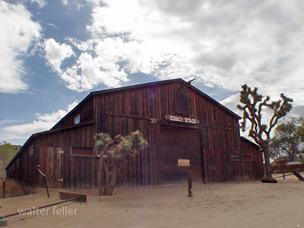
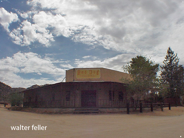
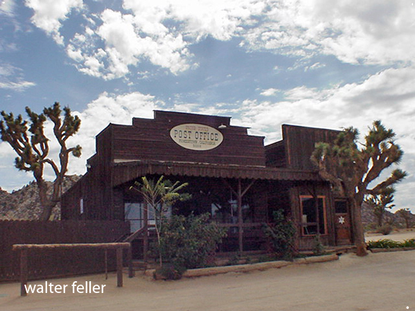
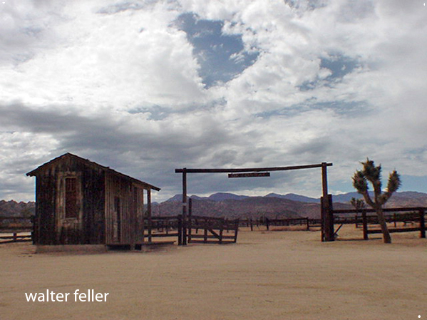
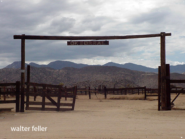
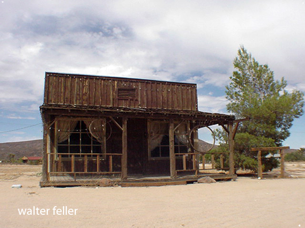
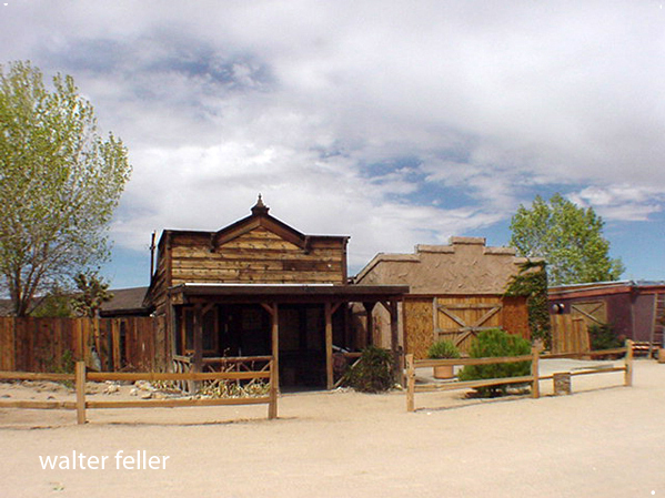
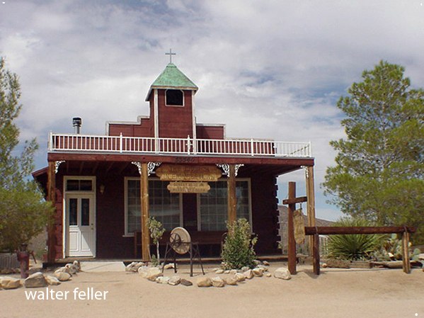
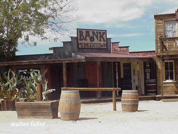
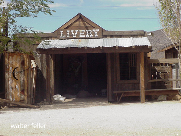
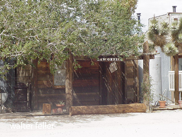
Pioneertown
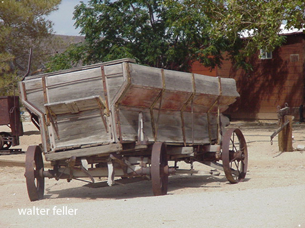
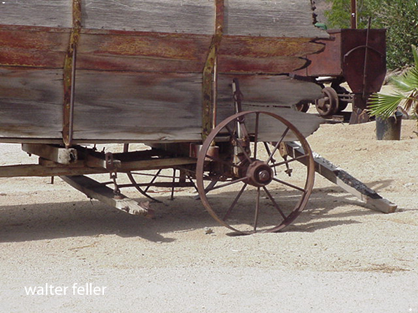
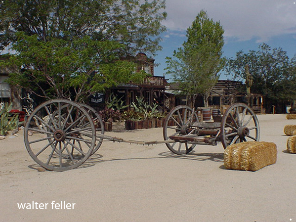
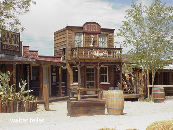
Pioneertown, Ca. –
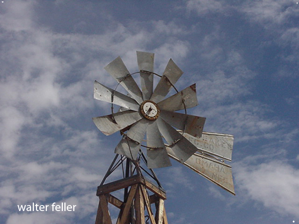
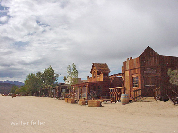
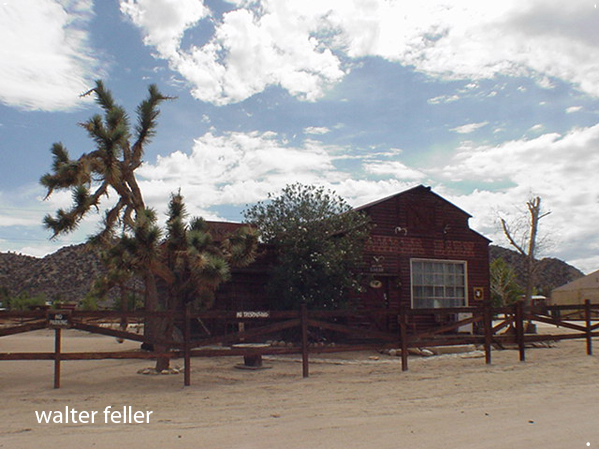
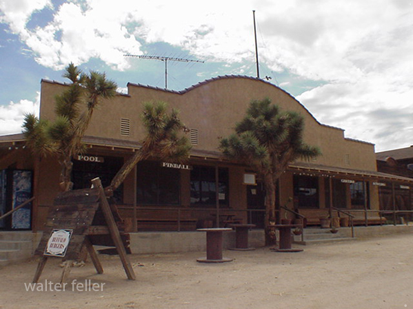
The town started as a live-in Old West motion picture set, built in the 1940s.
Marl Spring
/marl-springs/
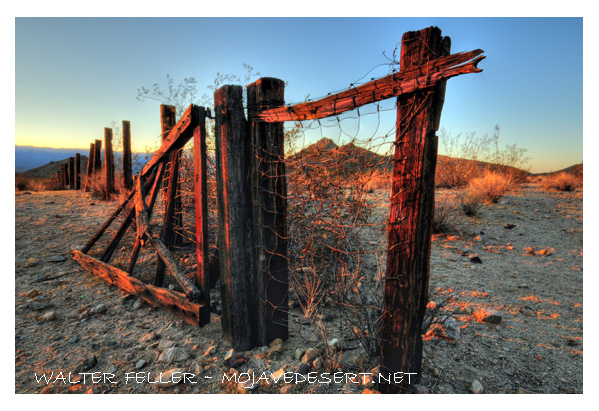
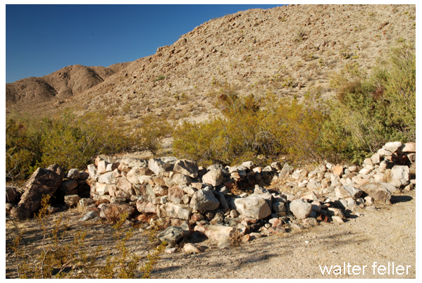
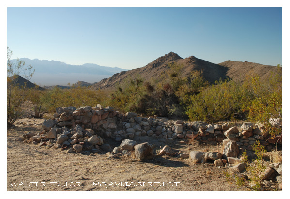
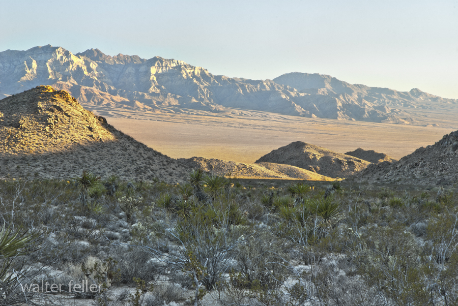
Marl Springs is a historical site located in the Mojave Desert National Preserve in California. The area has significance due to its role as a water source for travelers and settlers in the desert region. Here’s a brief history of Marl Springs:
- Native American Presence: The Mojave Desert has a long history of Native American habitation. The Chemehuevi and Mojave people were among the indigenous groups living in the area. These Native American communities deeply understood the desert environment and its resources.
- Exploration and Early Settlement: In the 19th century, the Mojave Desert attracted explorers, pioneers, and prospectors seeking new opportunities. The Mojave Road, a route through the Mojave Desert, and Marl Springs became a crucial water source for travelers along this route.
- Military Use: During the mid-1800s, the U.S. Army established a military presence in the Mojave Desert. With its reliable water source, Marl Springs was a strategic location for military operations and a resting point for troops moving through the region.
- Mining Activity: Like many areas in the Mojave Desert, Marl Springs saw mining activity during the late 19th and early 20th centuries. Prospectors sought minerals such as gold and silver in the surrounding hills, contributing to the region’s development.
- Railroad Expansion: The railroad‘s arrival led to changes in transportation patterns, reducing the importance of some stagecoach routes. However, Marl Springs retained significance for those traveling by road or seeking water in the desert.
- Mojave Desert National Preserve: In 1994, the preserve was established to protect the unique desert ecosystem and preserve its cultural and historical resources. Marl Springs is now part of this national preserve, allowing visitors to explore its historical remnants and appreciate its role in the region’s past.
Today, Marl Springs stands as a testament to the challenges and opportunities the Mojave Desert presents, showcasing the intersection of natural resources, human history, and the development of transportation routes in the American West.

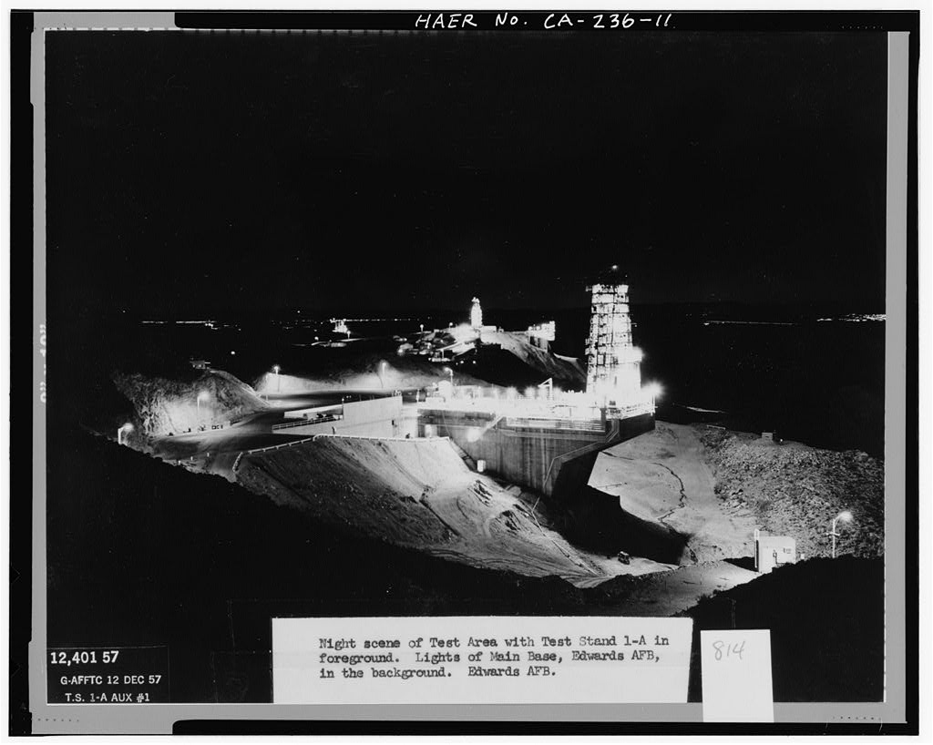
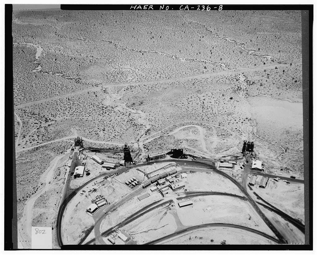
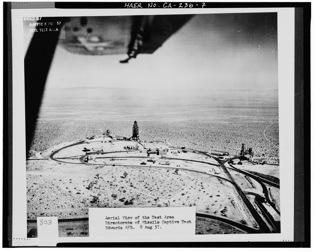
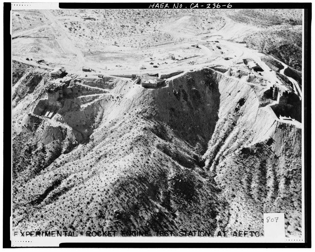
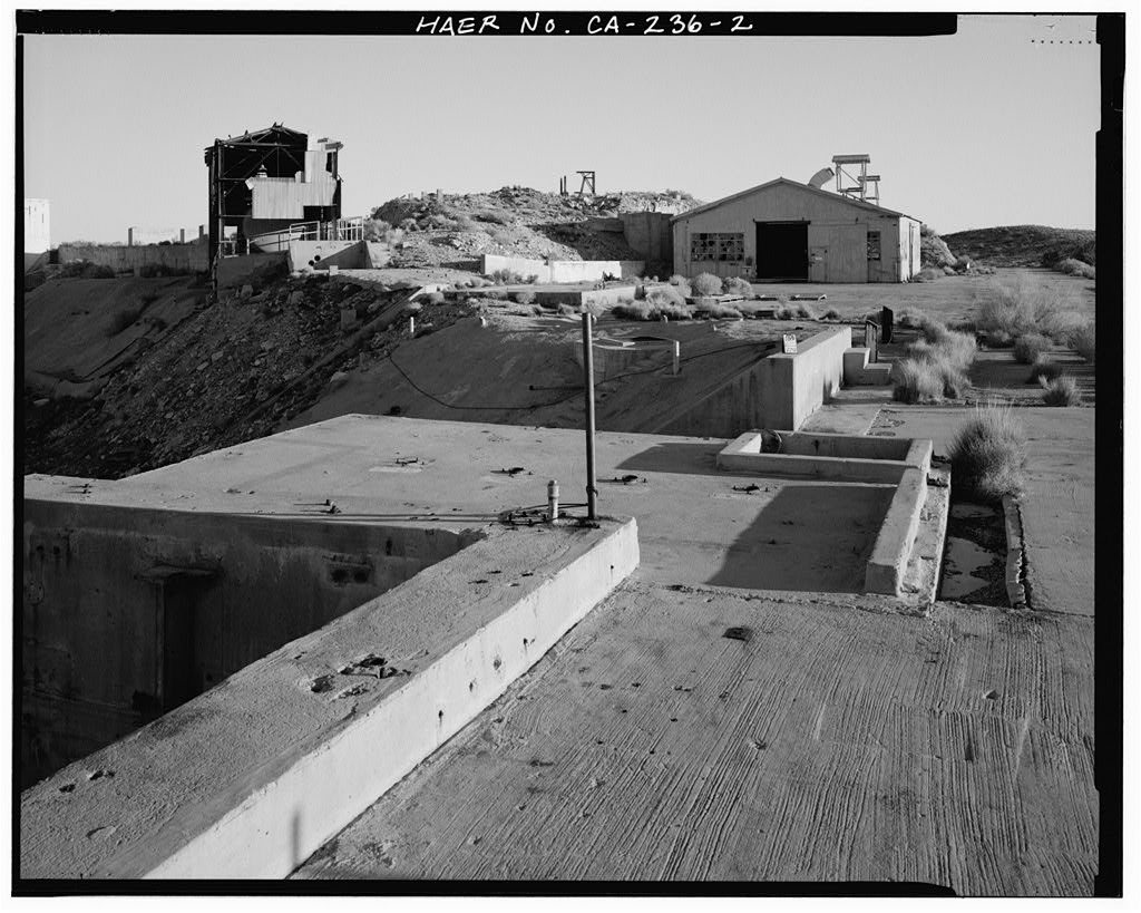
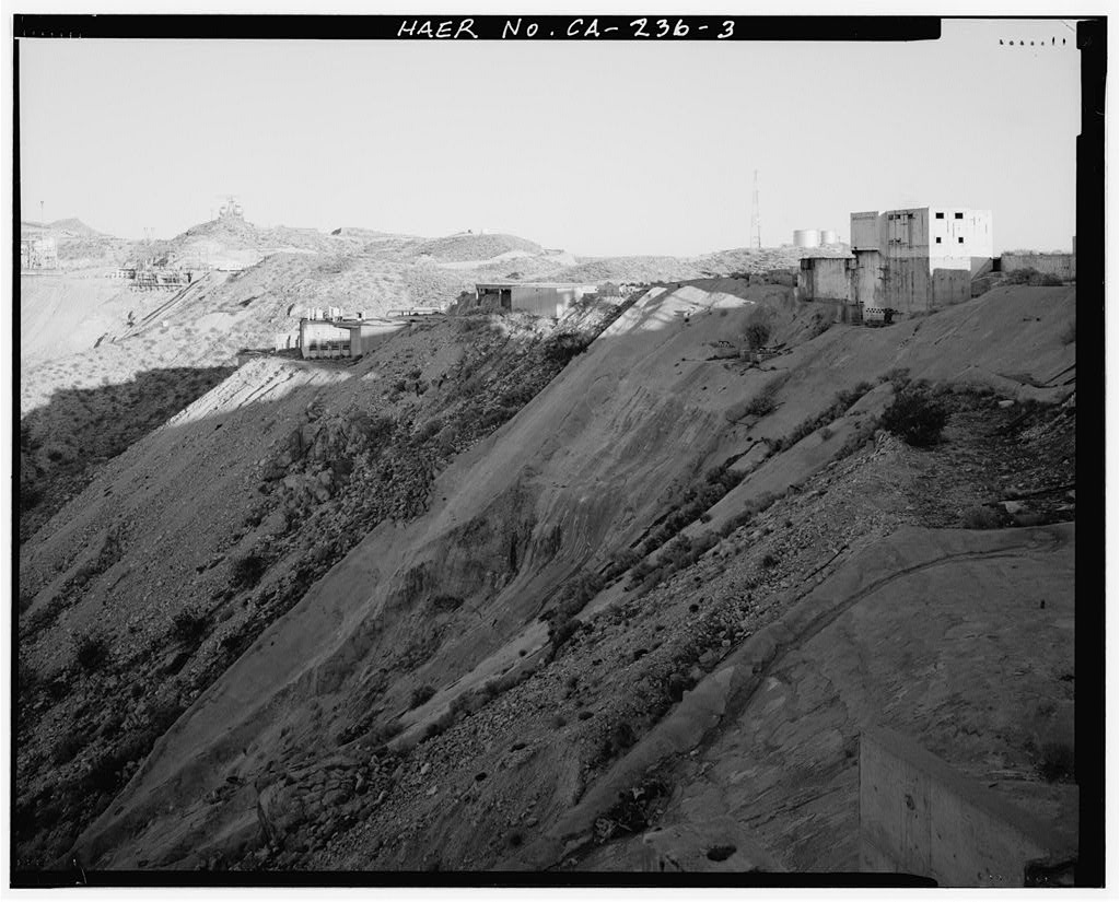
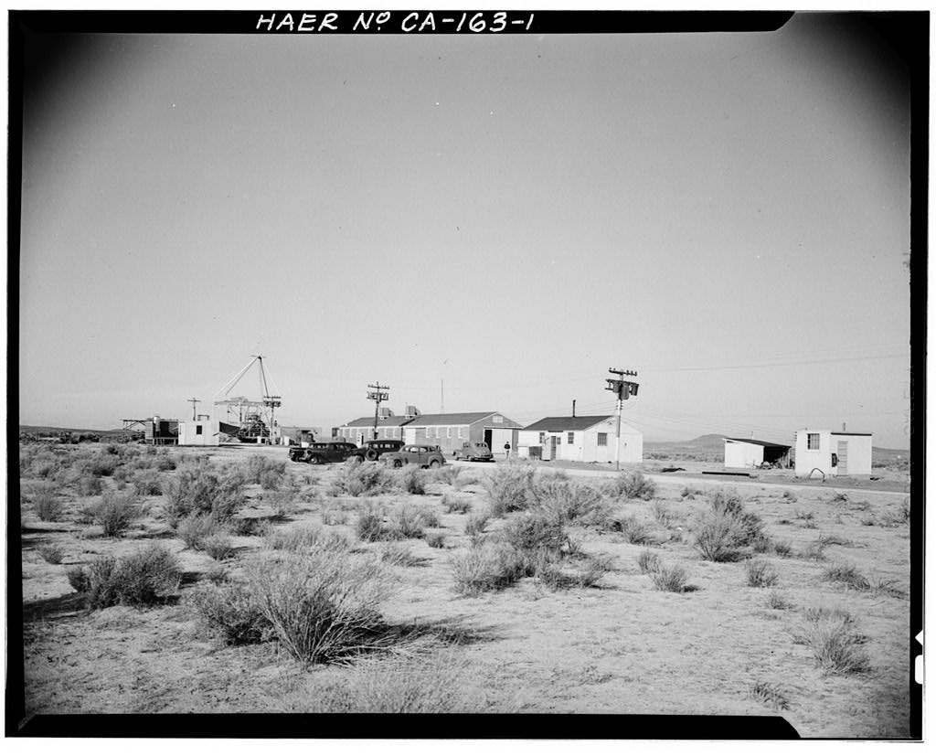
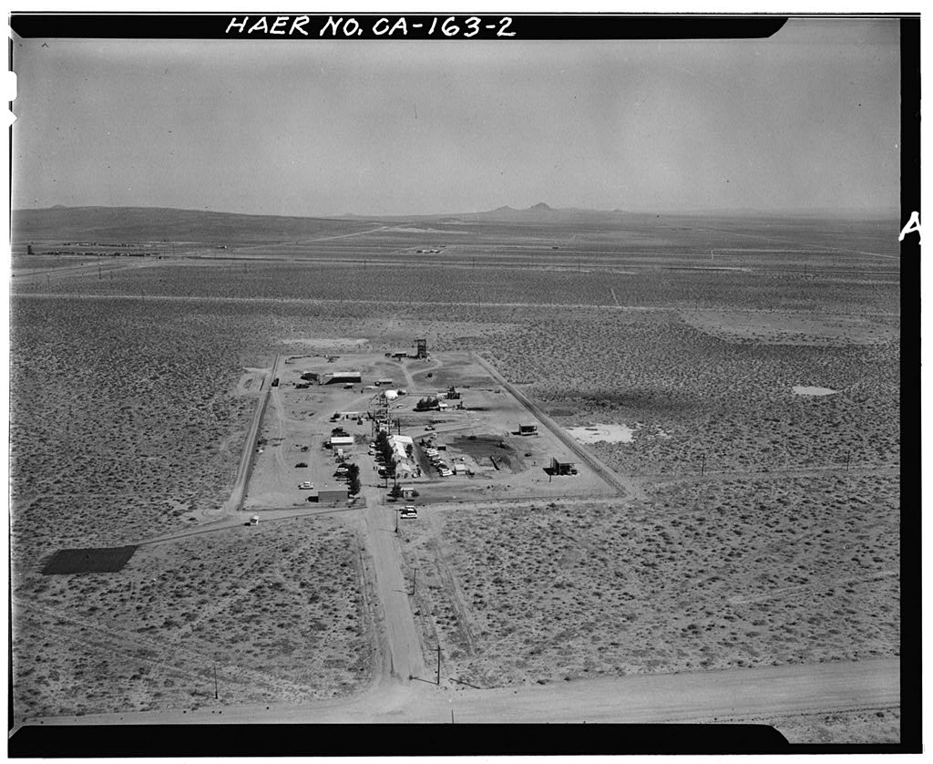
Rocket Test Site
Documentation compiled after 1968 (see full notes below gallery)
Air Force Rocket Propulsion Laboratory (site)
Significance: Since its inception, the AFRL has been devoted to the advancement of rocket technology in support of U.S. military weapons and space flight superiority. Unlike any other facility associated with rocket systems research, design, testing, and evaluation (RDT&E), the AFRL provided facilities for all aspects of systems development and supported some aspect of the evolution of each of the significant rocket and missile systems developed between the Cold War era and the present.
Test Area 1-100 played an exceptionally important role in the development of the Minuteman missile program and in the RDT&E of performing “hot-firings” from underground missile silos. Air Force engineers at the AFRL developed the technology for achieving a successful hot-firing and designed the first silo facility in the United States that could perform this function. The ability to hot-fire the Minuteman missile was one of its most influential features because it reduced the launch time to 30 minutes or less, which put the United States on par with Soviet launch capabilities.
Test Area 1-115 was the first testing facility constructed at the AFRL and was exceptionally important in the advancement of both Air Force and contractor testing and evaluation of four nationally significant missile programs and generations of intermediate rocket programs. Early tests at Test Area 1-115 of the rocket-assisted takeoff (RATO) system reflect the AFRL’s early association with the Air Force Flight Test Center, whereas later tests of the Atlas, Thor, Titan, and Bomarc programs illustrate the AFRL’s exceptionally important role in the advancement of the U.S. Cold War race for technological superiority.
Test Area 1-125 is a unique facility at the AFRL because it originally was built for and by the National Aeronautics and Space Administration (NASA) as the F-1 production test facility. Although NASA had other testing facilities across the United States, the ability to construct three test stands capable of testing engines with 2 million pounds of thrust and use the RDT&E facilities of the AFRL proved to be a valuable asset to the success of the Apollo/Saturn V program.
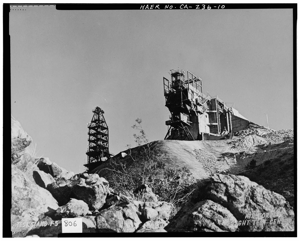
Test Area 1-120 provided the Air Force and industry with testing facilities that played an exceptionally important role in the advancement of nationally significant missile programs. Test Stand 1-A originally was constructed to accommodate a fully assembled Atlas intercontinental ballistic missile (ICBM). It supported that program until an accident damaged the stand’s superstructure. After the launch of Sputnik and the ensuing focus on the Apollo Saturn V program, new construction and existing facilities were turned over to NASA and Rocketdyne to perfect the E-1 and F-1 engines.
The superstructure of Test Stand 1-A was rebuilt to accommodate the Rocketdyne F-1 engine, which eventually propelled the Saturn V lunar rocket.-
Survey number: HAER CA-236- Building/structure dates: 1948-1967 Initial Construction
