Lake Tecopa Geology

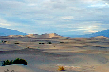
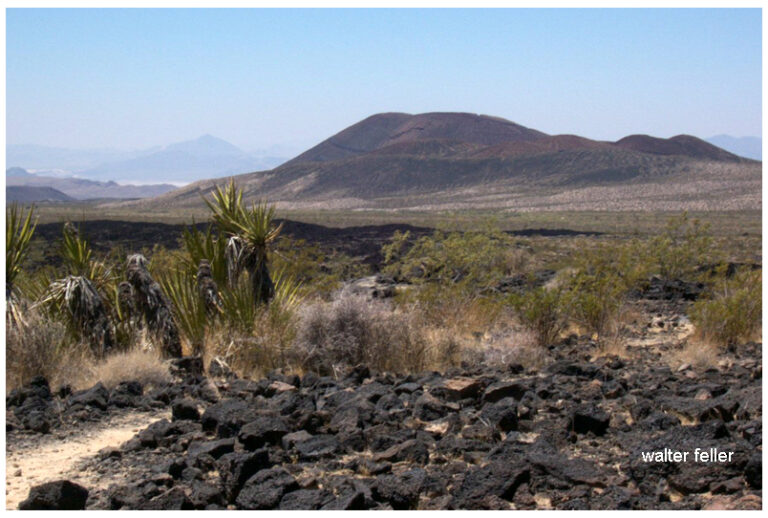
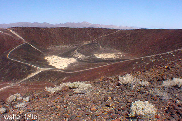
Lake Tecopa was a large lake in southeastern California during the Ice Age. Due to changes in climate, earthquakes, and shifting rivers, it formed and disappeared several times over the past two million years.

How Lake Tecopa Changed Over Time

Early Lakes (~2 million to 765,000 years ago):

  • Before the Amargosa River reached the area, smaller lakes from local rainfall and runoff filled the basin.
  • These lakes could not drain, so water stayed in the basin until it evaporated.

Amargosa River Connection (~765,000 to 580,000 years ago):

  • Around 765,000 years ago, the Amargosa River started flowing into the Tecopa Basin.
  • This caused the lake to grow much larger, filling the basin several times over the next 200,000 years.

Final Overflow (~185,000 years ago):

  • The lake reached its highest level and spilled over, creating a channel that drained into Death Valley.
  • Once this happened, Tecopa was no longer a closed lake. Water from the Amargosa River could now flow toward Death Valley instead of staying in the basin.
  • This spillover permanently changed the region’s water system.

How the Spillover Happened

  • The lake overflowed because of heavy rainfall, rising water levels, and erosion of the basin’s southern part.
  • As water broke through, it carved a channel that deepened over time, allowing the Amargosa River to connect with Death Valley.
  • After this, Lake Tecopa could no longer reform as a long-lasting lake.

Evidence Left Behind

  • Ancient Shorelines: Rings around the basin show where the lake once stood at different times.
  • Fossils: Scientists have found tiny fossils of algae and freshwater mollusks, proving that the lake supported life.
  • Rock Deposits: Layers of calcium carbonate and tufa formed in the lake, marking its highest water levels.
  • Spillover Channel: The area where the lake drained remains a landform today, showing where the water escaped.

Comparing Lake Tecopa to Other Ice Age Lakes

  • Lake Tecopa vs. Lake Manly (Death Valley):
    • Lake Tecopa’s overflow helped form Lake Manly in Death Valley.
    • Lake Manly was filled and dried up multiple times, depending on the climate conditions.
    • Unlike Tecopa, Lake Manly was always part of a larger river system.
  • Lake Tecopa vs. Lake Mojave (Mojave Desert):
    • Lake Mojave (which included Silver and Soda Lakes) was fed by the Mojave River instead of the Amargosa.
    • Unlike Tecopa, Lake Mojave did not spill over into another basin. Instead, it dried up when the climate changed.
    • Both lakes grew and shrank over time due to changes in rainfall and temperature.

Why This Matters

The story of Lake Tecopa helps scientists understand how Ice Age lakes formed, changed, and disappeared. The lake’s final overflow was an important event because it changed how water flowed across the region. Studying Tecopa’s past gives us clues about ancient climates, shifting landscapes, and the history of water in the Mojave Desert.

10 Popular Places in the California Mojave Desert

The Mojave Desert offers a variety of unique and exciting activities. Here are ten of the most popular places:

Death Valley National Park: Known for its extreme temperatures and stunning landscapes, it features attractions like Badwater Basin, the lowest point in North America, and the Mesquite Flat Sand Dunes.

Joshua Tree National Park: Famous for its unique Joshua trees, it offers rock climbing, hiking, and stargazing opportunities amidst a surreal desert landscape.
.

Mojave Road: This historic off-road trail takes you through the heart of the Mojave Desert, offering a challenging adventure with historical landmarks and diverse desert scenery.

Kelso Depot Visitor Center: Located in the Mojave National Preserve, this historic train depot provides insight into the region’s rail history and is a gateway to exploring the preserve.

Mojave National Preserve: With over 1.6 million acres, the preserve offers numerous trails, including the Kelso Dunes and the Hole-in-the-Wall Rings Trail.
.

Trona Pinnacles: These unique tufa formations, formed underwater over 10,000 years ago, are popular for photography and off-road exploration.
.

Red Rock Canyon State Park: Known for its vibrant rock formations and scenic desert cliffs, this park offers hiking, camping, and wildlife viewing opportunities.
.

Amboy Crater: A dormant volcanic cinder cone, Amboy Crater provides a moderately challenging hike with rewarding views from the top.
.

Mojave Air and Space Port: This hub for aerospace innovation offers public tours showcasing historic aircraft and cutting-edge aerospace technology.
.

Visit Calico: A restored mining town from the Silver Rush era, Calico offers a glimpse into the past with its preserved buildings, mine tours, and reenactments.
.

These activities highlight the diverse attractions and experiences the Mojave Desert offers, from natural wonders to historical sites.

Barstow Area Mining

The history of mining in the Barstow area is closely tied to the extraction of various minerals and resources that played a significant role in the development of Southern California. Here’s a more detailed look at the history of mining in the Barstow area:

  1. Borax Mining: Borax mining was one of the earliest mining activities in the Barstow region. In the late 19th century, borax deposits, a valuable industrial mineral used in various applications, were discovered in the nearby Calico Mountains. The Pacific Coast Borax Company, owned by Francis Marion “Borax” Smith, was instrumental in developing borax mines in the area. This marked the beginning of significant mining operations in the region, with borax being a primary focus.
  2. Calico Mining District: The Calico Mining District, which includes the town of Calico, was a major center of mining activity in the Barstow area. Silver and silver-lead ores were the primary resources mined in this district. At its peak in the late 1800s, Calico had a population of over 3,000 people and was a bustling mining town.
  3. Calico Ghost Town: Calico, often referred to as Calico Ghost Town today, was once a thriving mining town. It featured numerous mines, including the Bismarck, Silver King, and Oriental Mines. Visitors to Calico can explore the well-preserved historic buildings, mines, and artifacts, gaining insight into the region’s mining history.
  4. Railroad Transportation: The expansion of railroads played a crucial role in facilitating the transportation of mined materials from the Barstow area to other parts of California and beyond. The Atchison, Topeka, and Santa Fe Railway was a key transportation link for the mining industry, enabling the efficient movement of ores and minerals.
  5. Variety of Minerals: While borax, silver, and silver-lead ores were among the most significant resources mined in the Barstow area, various other minerals were also extracted. These included gypsum, limestone, and barite. These minerals had industrial applications and were important for construction and manufacturing.
  6. Decline of Mining: As the easily accessible mineral deposits were depleted, mining activities in the Barstow area began to decline. Many mines were abandoned, and mining communities saw a decrease in population. The shift in economic focus led to the decline of mining as a major industry in the region.

Today, the mining history of the Barstow area is preserved through places like Calico Ghost Town, museums, and historical sites. These serve as reminders of the pioneering spirit of early miners and the role mining played in shaping the history of Barstow and the surrounding region.

Barstow Mining,Mojave Desert Mining,Mining History,Barstow Area Mines,Mojave Desert Geology,Mining Towns,Historic Mining Sites,California Mining History,Barstow Geology,Old Mines in Barstow,Desert Mining Operations,Gold Mining,Silver Mining,Mining Artifacts,Barstow Natural History,Mining Camps,Mineral Exploration,Abandoned Mines,Mining Technology,Mojave Desert Resources