Emerging Efforts to Define the Coso Obsidian Economic Exchange System in the Rose, Fremont and Antelope Valleys of the Western Mojave Desert, California
By Mark R. Faull, California State Parks (Ret.)
Proceedings of the Society for California Archaeology, Volume 19, 2006, pp 159-167
Archaeological investigations in and about Red Rock Canyon State Park in Kern County’s El Paso Mountains have unveiled a series of lithic procurement sites, the nature of which is primarily designed to support other off-site prehistoric communities. The rise and fall of these support sites coincide with the peak production of Coso obsidian. The nearest contemporary community for postulated interaction would likely represent the Koehn Lake village complex (CA-KER-875). A reexamination of the Sutton model developed for Koehn Lake, along with other sites in the region, leads to a new interpretation of local complexity, connectivity, and interdependence potentially aligned with the Coso economic system, whereby major villages potentially served in an interlinked fashion to facilitate the widespread dispersal of the valuable Coso volcanic glass.
The ambitious goal of this inquiry is to initiate the concept of the interconnectedness of site function within a portion of the western Mojave Desert when viewing a series of regional prehistoric sites that are contemporaneous to the peak period of Coso obsidian quarrying and distribution. The ensuing discussion of the Coso Obsidian Economic Exchange System rests mostly upon a reexamination of the works conducted by others, whereby I hope to stimulate new perspectives of thought and approach.
For purposes of definition, references to the Coso Obsidian Economic Exchange System are equivalent to the “Coso Hot Springs Exchange System” of Ericson (1981:119-122) and Hughes and True (1985:326, 334), as well as the “Sugarloaf production and exchange system” of Allen (1986:10). In addition, Allen (1986:1) referred to the Coso trade as an “egalitarian economic system.” Discussing more general California obsidian trade, Bouey and Basgall (1984:135) referred to “areas of economic articulation.” Such areas provide cultural connections and ties that are worthy of investigation.
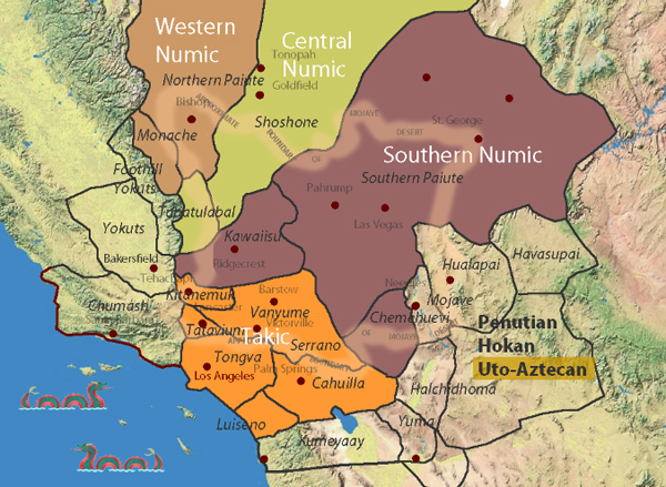
The examination of the possible cooperation of communities holds certain potentials for elucidating the interlinked, complex relationships and possible interdependent functions of a suite of archaeological complexes, which in this instance stretched from the southeastern Sierra through the Antelope Valley in California’s western Mojave Desert. Such research also holds promise for identifying era- specific archaeological complexes within a regional framework or perspective.
The ensuing discussion focuses primarily upon the Late Gypsum/ Newberry through the Rose Spring/Haiwee periods of peak Coso obsidian production and distribution, which potentially interconnect the Rose, China Lake, Fremont, and Antelope valleys of the western Mojave. Per the work of Gilreath and Hildebrandt (1997) and many others, this period of pronounced economic and cultural florescence has been shown to have met its demise with the close of the Rose Spring/Haiwee period, perhaps associated in some fashion with the series of progressive droughts now referred to as the Medieval Climatic Anomaly (see Stine 1994 and others).
THE EL PASO MOUNTAIN QUARRIES AND THE KOEHN LAKE SITE
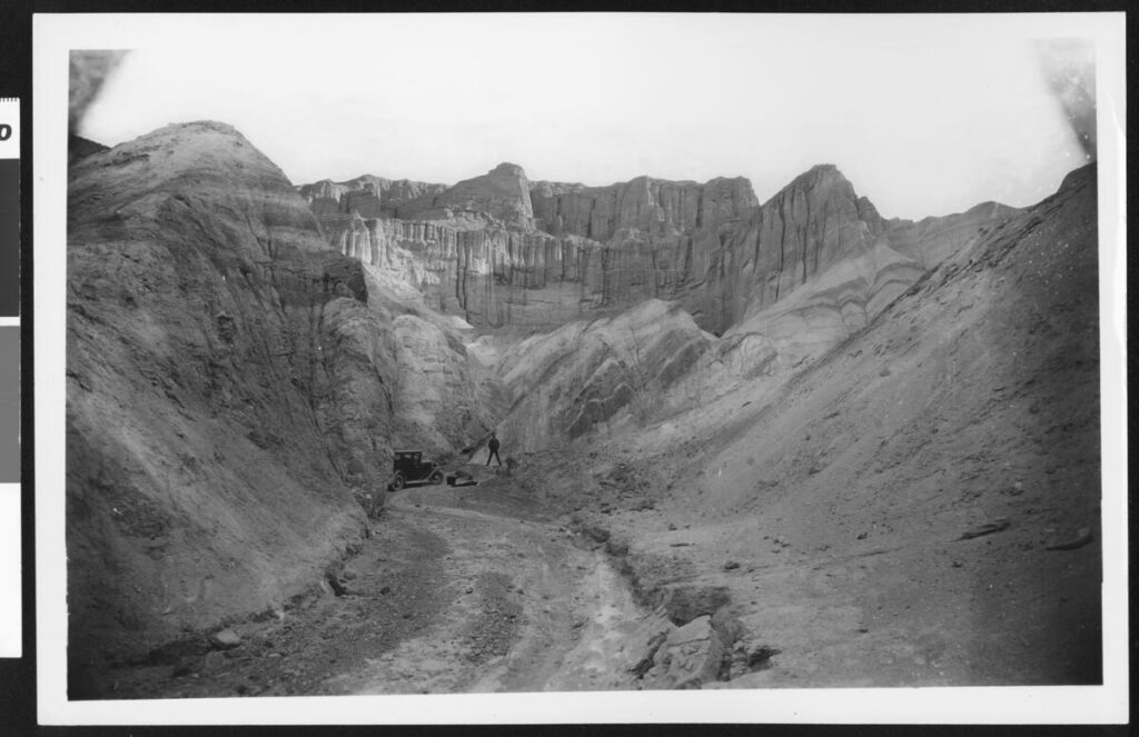
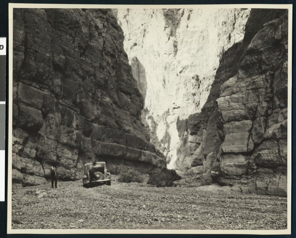
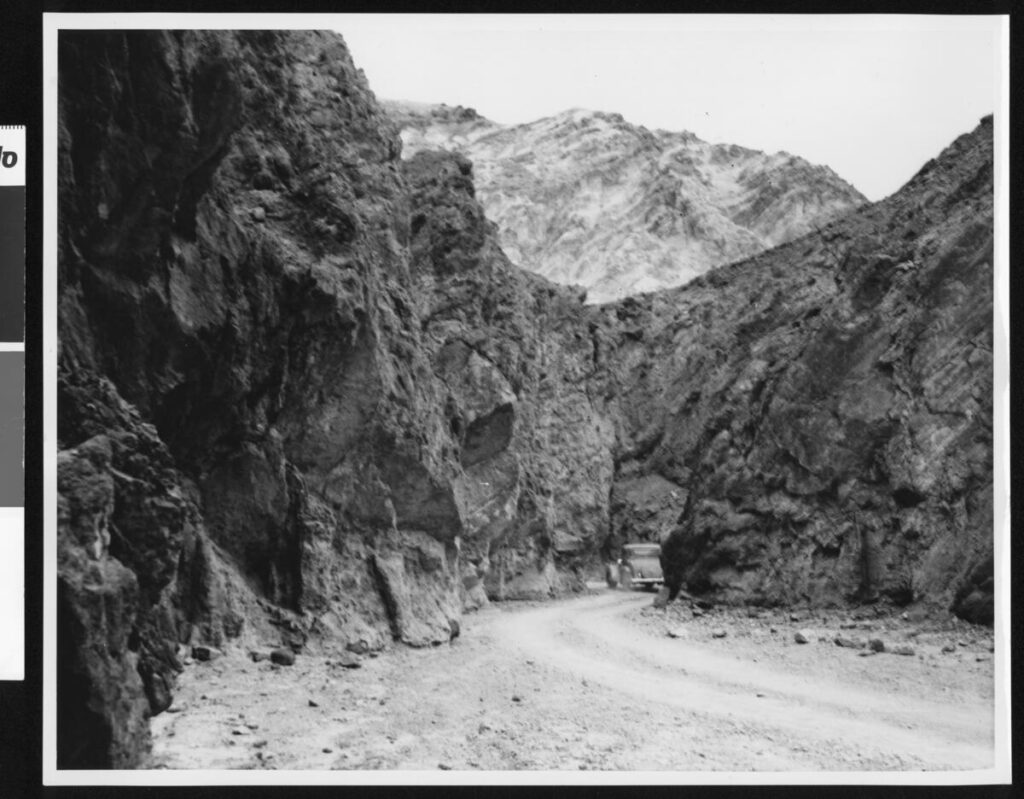
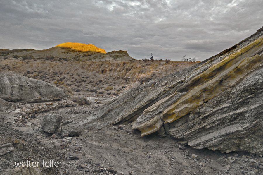
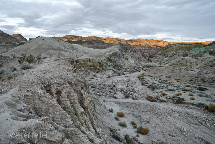
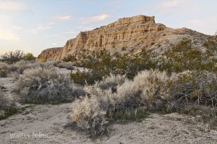
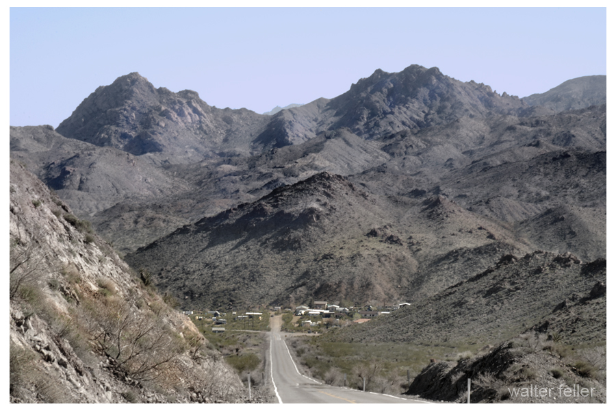
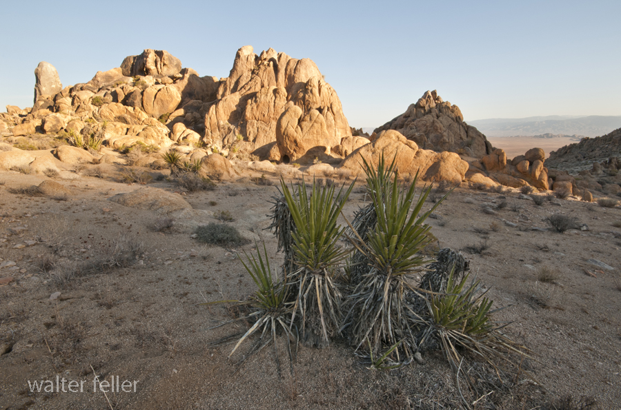
For 20 years, my place of employment within this region was Red Rock Canyon State Park, a landscape that beckons travelers to pause from their journeys amidst spires and cathedrals of stone. These canyonlands never fail to astonish — yielding unending discoveries in the realms of the biotic, the paleontological, and the archaeological. Pursuant to a large expansion of the park in 1994, State Park staff began documenting extensive prehistoric chert and chalcedony quarries (Faull 2000; Faull and Sampson 2004; Sampson 2003).
These extensive quarries and secondary reduction sites display temporal affinity with the rise and fall of the Coso obsidian quarries and economic system (Faull and Sampson 2004). These sites were purely supportive of other off-site communities or activities, and were not self-sufficient. Thus it became apparent that the quarries were connected within a larger regional cultural system. But who quarried the stone, and where was its destination? The closest contemporaneous community would be the primarily Rose Spring-era village complex at nearby Koehn Dry Lake to the south.
The Koehn Lake village (KER-875) was excavated by Dr. Mark Sutton and has become one of the premier cornerstones of Dr. Sutton’s proposed western Mojave Desert model (Sutton 1986, 1988a, 1990, 1991, 1996; Sutton and Everson 1992; Sutton and Hansen 1986). Thanks are due to Dr. Sutton for his effort to refine Mojave Desert archaeology by proposing testable models of the prehistoric past.
Sutton noted that the primarily Rose Spring-era Koehn Lake village site rests principally above a shoreline associated with ancient Koehn Dry Lake (Sutton 1986:8, 1988a, 1990, 1991, 1996; Sutton and Hansen 1986:3-7). The village abuts aeolian dunes once crested by a sizeable mesquite community (Sutton 1986:2, 7, 1990:3), now decimated by agricultural drawdown of the local water table (Pampeyan et al. 1988). During excavations, Sutton encountered a collapsed circular, semi-subterranean juniper structure, as well as frequent juniper remains (Sutton 1990:3, 1991:179; Sutton and Hansen 1986:2). In addition, Sutton later excavated a prehistoric juniper structure found at the Honda Test Track site (KER-2211) located 3 km west of the Koehn Lake village (Sutton 1990:5, 1991:139,180). As Sutton (1991:179) noted, the closest modern juniper communities lie 15 to 30 km distant in the southern Sierra Nevada.
The discovery of the ancient Koehn Lake shoreline combined with the juniper frequency on-site underscores Sutton’s postulated Western Mojave model, whereby he proposes a mesic regime sufficient to support a lake stand and to lower the juniper community to the shoreline of ancient Koehn Lake (Sutton 1991:179, 1996:238, 243; Sutton and Everson 1992:62; Sutton and Hansen 1986). Such a model bears certain attractive features, which help to explain the local cultural florescence of the late Gypsum through middle Rose Spring periods. In addition, Sutton proposes that the desiccation of the lake stand at 1000 B.P. led to the eventual abandonment of the Koehn Lake site (Sutton 1991:178181, 1996:232; Sutton and Everson 1992:62-63).
PROXY DATA AND KOEHN DRY LAKE
To date, no paleoenvironmental studies have been conducted upon Koehn Lake proper to confirm or deny the model. Therefore, proxy data must suffice for analysis. To the north, Searles Lake near Trona does bear evidence of a shallow, highly saline, fluctuating Holocene lake stand (Smith 1979:95, 96, 109). Two-thirds of the way up through a Holocene mud overburden, a radiocarbon date of 3520 B.P. has been documented (Stuiver and Smith 1979:69, 73). This lake stand appears associated with the known pluvials of roughly 4000 and 2000 B.P. (see Smith 1979:109, Figure 41). The upper deposits at present cannot yet be correlated to match the postulated Rose Spring era Koehn lake stand.
Farther to the north, Stine (1995:9) has concluded “that Owens Lake was exceptionally low, and perhaps non-existent during extended portions of the Haiwee [Rose Spring] time.” Stine (1995:4, 9) cites the work of McGuire (1994) who documented archaeological remains at INY-3541, which range in age from roughly A.D. 135 to 933 and reside on a moderately low beach line of Owens Lake. This beach line lies at 1,093.2 m, roughly 3.4 m below the historical high stand of Owens Lake (Stine 1995:9). The data from McGuire (1994), as well as from Stine (1995), do appear convincing that a lower-than-normal, rather than higher-than-normal, stand for Owens Lake existed during much of the late Gypsum and Rose Spring periods, contrasting with the postulated model for Koehn Dry Lake.
At present, the closest correlative pattern to that proposed for Koehn Lake appears to be distantly removed at Lower Pahranagat Lake northeast of Las Vegas, Nevada. At this location a pattern of summer- shifted rainfall apparently produced and maintained a shallow lake during the Rose Spring era, where previous to and following this period marsh habitat had predominated (Wigand and Rhode 2002:341).
More direct proxy data appear available to analyze the postulated down-slope shift of the juniper community into the vicinity of Koehn Lake. In nearby Red Rock Canyon four archaeological sites have now been excavated which bear in part strata of either Gypsum or more commonly Rose Spring era assemblages: KER-147 (Robinson 1981), KER-246 (Harvey and Gardner 2003), KER-250 (McGuire et al. 1982), and KER-5043 (Gardner 1998). Despite their presence up-slope and up- canyon from Koehn Lake, no juniper remains have been discovered at these sites. Gardner (1998:123, 139) specifically notes such an absence in her thesis, which investigated portions of the Sutton model.
Elsewhere, Peter Wigand (2003), working at the Airport Playa site to the north in the Coso Mountains, reports pursuant to both packrat midden and pollen studies a continuity of plant communities over the past 2,600 years. While ratios of plant species vary within the composition, the community members themselves remain constant (Wigand 2003). Rhode and Lancaster (1996:17-24), working south of Koehn Lake at Edwards Air Force Base, report an identical situation involving fluctuating species ratios but consistency of plant communities status over the last 5,600 years. To the east of Koehn Lake, research at Fort Irwin confirms an identical scenario of general plant community consistency during the later Holocene over the last 3,500 years (Basgall and Hall 1992:5; Koehler and Anderson 1993).
In the absence of proxy data supporting a dramatic down-slope shift in the juniper community, perhaps other scenarios might account for the presence of juniper at Koehn Lake; the most logical counter- conclusion being that invested energy transported juniper to the site. Why would a community invest such an effort to establish outposts at both Koehn Lake and at KER-2211, 3 km to the west? What other qualities about these sites would motivate such an effort? Expending such extreme energy speaks to some form of strategic importance for the location of these communities.
THE POTENTIAL COSO OBSIDIAN TRADE CORRIDOR(S)
Following Gilreath and Hildebrandt’s (1997) seminal work on the Coso Volcanic Field — and the earlier documentation of Coso obsidian distribution by other regional researchers (Ericson 1981; Ericson and Glascock 2004:780-781, 783, Figure 1; Ericson and Singer 1971; Ericson et al. 1989; Hughes and True 1985; Koerper et al. 1986; Meighan 1978), insufficient attention has been expended examining the logical inter- connective footprint of the Coso Economic Exchange System, which delivered high-quality obsidian to much of the southern California coast.
Numerous researchers have hinted at or suggested that a connective trade corridor, possibly involving Coso obsidian, functioned within the western Mojave through the Antelope Valley (Ericson and Meighan 1984:147; Koerper et al. 1986:57; Robinson 1977; Sutton 1980:221, 1981:124, 1988a:76-78, 1988b:25, 1989:109; Warren 1988:4647). Along these lines, Sutton (1989:101, 107-109) has discussed the Mojave Desert patterning of Coso obsidian in a post-A.D. 1000, Late Period or Protohistoric temporal context. The focus of this inquiry mostly predates that context.
Other possible Coso trade corridors might involve the southern San Joaquin Valley, although few targeted studies have yet occurred. This potential inter-connective economic corridor warrants further investigation in tandem with the Mojave Desert economic system.
Perhaps in a larger context the presence of the Koehn Lake village could be viewed as integral or sustaining to the economic system of Coso obsidian exchange through the western Mojave Desert. As such, let us briefly examine the regional pattern of village establishment within a potential Coso context.
THE ESTABLISHMENT OF DESERT VILLAGES
The earliest dated village within the Antelope Valley is that of Lovejoy Springs (LAN-192). At this site, a group inhumation dated at 2720 B.P. included a Coso obsidian Elko point and one youth draped in over 3,000 beads (Love 1992, 1996:106; Sutton 1988a:52; Toney 1968:810). Thus, the inception of village establishment within the Antelope Valley already displays connection between the coast, trade in beads, and Coso obsidian from the north.
Looking elsewhere in the Antelope Valley, a second significant village complex west of Rosamond (KER-303) has yielded an excavated residential structure (probably made of juniper) dated to 2370 B.P. and 2140 B.P., subtended by nearly 1 m of midden (Sutton 1988a:39-40, 62; Sutton and Robinson 1982). Elsewhere at the site, a radiocarbon date of 2200 B.P. was obtained from a charcoal sample at a depth of 2.5 m (Sutton 1988a:39). Coso obsidian is known from the site, and burials at the site, which currently lack sufficient temporal constraints, do display copious unanalyzed shell beads (Sutton 1988a:42, 43, 56).
Changing focus to the extreme northern vicinities of the potential Coso System, the village establishment at Rose Spring (INY-372) appears to be roughly marked by a youth inhumation from Locus 1, which can be roughly dated at between 2400 to 2500 B.P. (Lanning 1963:243, 268, 281; Yohe 1992:146). This youth inhumation possesses 1,000 Haliotis ring beads along with an obsidian Elko corner-notched point (Lanning 1963:243, 260-261, 263, 320). At Locus 3 the base of the rich occupational midden has been radiocarbon dated at 2240 B.P. (Yohe 1992:94). At Locus 1 a similar date of 2200 B.P. was recovered from the 152-163 cm level of Trench 1 (Yohe 1992:140, Table 5), near the base of the rich midden defining Lanning’s (1963:242) original Stratum 2.
Again, possible village establishment appears to coincide with connectivity to the coast in terms of exchange or trade in shell beads and ornaments. Are the occurrences noted coincidental, or could village establishment contain an element of connectivity to trade? Future targeted investigations appear warranted.
Could village placement be strategic to controlling the trade in Coso obsidian? Sutton has previously illustrated how trade might have linked certain early villages in the Antelope and Fremont valleys as potential “gateway communities” developed in response to trade, as per the Hirth (1978) model, while sometimes identifying obsidian as the trade product (Sutton 1981:124, 1988a:77-78, 1988b:24, 25). Many of these villages, located near reliable water, could easily serve as strategic trade partners for Coso obsidian exchange. These Antelope Valley villages remain well positioned to serve another potential intermediate link in Coso distribution near Castaic Lake, LAN-324, where obsidian lithic artifacts and bifaces were present (Ericson 1981:Appendix 2, personal communication 2004; Ericson and Glascock 2004:781; Ericson and Singer 1971).
Farther south, trade through the Cajon Pass remains less clearly defined. The strategic presence of the culturally distinct village of Oro Grande (SBR-72) above Cajon Pass (see Warren and Crabtree 1986:191), with its near-absence of obsidian and Rose Spring points in the latter Rose Spring era (Rector et al. 1983:35, 37, 47), would appear to discourage hypotheses involving Coso trade. However, the presence of shell beads at Oro Grande (Rector et al. 1983:68-87) bespeaks a coastal connection and the presence of modest quantities of Coso obsidian in Crowder Canyon, SBR-113, SBR-421, and SBR-713, near Cajon Pass (Basgall and True 1985:5.16-5.18, 7.10; Bouey 1985:J2; de Barros 1997:5-93; White 1973:Table 4) may complicate this scenario, unless Coso obsidian moved inland from the coast similar to the scenario suggested for San Diego County (Hughes and True 1985:333). In addition, minor amounts of Coso obsidian have also been documented for the early to mid Gypsum period Siphon Site (SBR-6580) in the Summit Valley 14 km east of Crowder Canyon (Sutton et al. 1993:53).
To the north, with additional Eastern Sierra sources of obsidian as potential competitors, one could view the early establishment of the Rose Spring village as strategically positioned or situated to assist with the control of access and trade through the southern Owens and Rose valleys. The later establishment of two large Rose Spring/Haiwee era villages north of the Rose Spring proper, at INY-3806/H on the western shore of Owens Lake at the confluence of Cottonwood Creek and at INY3812 in the north end of the Rose Valley (Delacorte 1994:5-6; Delacorte and McGuire 1993:178, 252), combined with the establishment of the Coso Junction Ranch village (INY-2284) southwest of the Rose Spring site (Allen 1986; Gumerman 1985; Whitley et al. 1988), could potentially further strengthen control over access through time. In addition, a third sizable Rose Spring period occupation at INY-1428, also located west of Owens Lake, adds even greater presence during this critical temporal period (Gilreath and Holanda 2000:121).
Returning to the Koehn Lake village, with a calibrated radiocarbon date suggesting establishment around 1700 B.P. (Sutton 1996:235, 238), perhaps part of this site’s invested energy involved the strategic value of further controlling trade and access from realms to the south.
INCREASING CULTURAL SPECIALIZATION
Lithic Specialization
The discussed florescence of Coso quarrying during the late Gypsum and Rose Spring periods can also be viewed as a period of increasing cultural specialization (cf. Ericson 1984). Shifting from a perspective of potential specialized village establishment, examination of specialized quarry sites can follow. Gilreath and Hildebrandt (1997:178-179) have documented the increasing specialization of quarry selection within the Coso Volcanic Field during the Gypsum/Newberry and Rose Spring/Haiwee periods (see also Whitley et al. 1988:5), as well as the use of secondary bifacial reduction sites (see also Allen 1986:35).
The cryptocrystalline quarries of Red Rock Canyon State Park display a similar evolved focus and association with secondary reduction loci (Faull and Sampson 2004). Add to this the Antelope Valley rhyolite quarries (Glennan 1970, 1971; Sutton 1982) and a greater regional picture of the quarry complex emerges.
Within the localized El Paso Mountain to Fremont Valley region 94 percent of the recovered Rose Spring projectile points are fashioned from Coso obsidian. This ratio of preferred material use tends to contrast sharply with other eras within the local assemblage. However, despite this observed preference for obsidian point production during the Rose Spring period, the Red Rock cryptocrystalline quarries expand in tandem with the Coso model, indicating a reduced but specialized spectrum of use for cryptocrystalline materials within the tool kit of the El Paso to Fremont Valley segment of the Coso Economic System. In- depth analyses of local sites, such as the Koehn Lake village to the south and the Freeman Spring site (KER-6106) to the north, may offer greater insights into this more restricted, specialized use of cryptocrystalline rock within the Rose Spring tool kit.
The introduction of the bow and arrow during the period of Coso obsidian florescence has generated much debate as to the impact of such technology on both large mammal populations and lithic technology trajectories (Allen 1986; Ericson 1982; Grant et al. 1968:58; Yohe 1992, 1998; Yohe and Sutton 2000). Focusing first upon lithic technology trajectories, secondary bifacial reduction of tradable obsidian and other overlapping products of the Coso trade system could account in part for the difficulty researchers have experienced in discerning the introduction of the bow and arrow within lithic artifact assemblages.
In addition, some Antelope Valley researchers assert that local lithic trajectories suggest that Rose Spring points may have been traded into the valley as completed products (Earle 2004:12; see also the lack of debitage in Sutton 1988a:76). On the margins of the Fremont Valley at KER-1998, Sutton and Everson (1992:57) note that obsidian appeared mostly as small-sized pressure flakes, suggesting that obsidian “was being brought to the site as artifacts in generally completed form.” Examining sites, such as Coso Junction Ranch and others, for the possible specialized production of tradable points might be another line of valuable inquiry (see the Phase B change in the ratio of biface thinning versus secondary reduction reported by Allen 1986:32-33, 37, 40; see also Gilreath and Hildebrandt 1997:168).
Intensified Food Specialization
Whether or not the introduction of the bow and arrow decimated large mammal populations within this region, the archaeological record for this segment of the western Mojave is unequivocal about the intensification of focused food resources. The Rose Spring/Haiwee era witnessed both an expansion of pinyon processing (Bettinger 1975, 1976, 1980, 1989; Garfinkel and Cook 1979, 1980) and an accelerated fetish with the consumption of lagomorphs and a series of small animals (Delacorte 1994:8-10; Yohe and Sutton 2000:5), particularly hares.
Lepus procurement sees the establishment of massive specialized collection and processing sites, such as those at Freeman Spring near Walker Pass (Williams 2004), and at the Bickel site in the El Paso Mountains, KER-250 (McGuire et al. 1982). Intensive Lepus processing is known from the village sites of Rose Spring, Koehn Lake, and KER2211 (Sutton 1990:5, 1991:180; Yohe 1994; Yohe and Goodman 1991; Yohe and Sutton 2000:3). Gumerman (1985:28) documented that rabbit processing intensified during the progression of the Rose Spring period at the Coso Junction Ranch site (see also Whitley et al. 1988:6, 8). Kranz (1963:288) stated for the Rose Spring site that it was “tempting to conclude that rabbit brains were eaten, including the relatively soft cranial bones.” Ethnographically, rabbit brains have been reported as a delicacy (Christenson 1990:368). However, it should be noted that at the Bickel site in the El Paso Mountains, Lepus heads and certain parts of the extremities were removed from lagomorphs before apparent transportation off-site to the place or point of actual consumption or use (Basgall 1982:137-138).
A suite of other small mammals and other animals were also widely to locally exploited by Rose Spring era populations (cf. Delacorte 1994 and others). Broadening the perspective, the Anasazi of the Southwest reportedly display a similar intensified utilization of small game, particularly lagomorphs and mice, before their profound decline, around the peak of the Medieval Climatic Anomaly (Diamond 2005:150). Perhaps a scenario somewhat similar to the Anasazi occurred in portions of the western Mojave — where initial success and population expansion possibly became increasingly difficult to support or sustain, in light of potential over-predation or increasing resource failure associated with progressing drought and aridity (cf. Ericson and Meighan 1984:150; Whitley et al. 1988:8; Yohe and Sutton 2000:1, 4).
A REGIONALIZED PERSPECTIVE
In conclusion, from north to south, village establishment within the discussed corridor of the western Mojave Desert appears to initiate with relative concurrence during the Gypsum period, with each site displaying connectivity to both coastal and Coso resources. Over time, a series of late Gypsum through Rose Spring period, potentially interdependent sites appear to arise, possibly aligned to support the fruition of the Coso Obsidian Economic Exchange System.
By approximately 1100 B.P., the Antelope Valley is well positioned to participate in the emergence of the new trade system with the Southwest, which transitions into the Late Prehistoric or Marana period (Davis 1961:4, Map 1; Heizer 1946:191; Sample 1950:4-5; Warren and Crabtree 1986:193). The Antelope Valley displays village continuity across the Medieval Climatic Anomaly and the terminal Rose Spring (Campbell 2004:8, personal communication 2005; David D. Earle, personal communication 2004; see also the data of Robinson 1977; Sutton 1988a), which marks the demise of the long-standing Coso Economic System farther to the north.
By contrast, the Fremont, China Lake, and Rose valleys to the north experience the dramatic cessation of major quarrying at Coso and the resultant disseminating trade system (Ericson and Meighan 1984:149; Gilreath and Hildebrandt 1997:iii, 179, 183; Hughes and True 1985:333, 334; Meighan 1978:160; Koerper et al. 1986:53). In tandem, the major quarrying and secondary reduction loci located within Red Rock Canyon State Park in the El Paso Mountains cease to function (Faull and Sampson 2004). Village abandonment occurs at a suite of sites, which includes the Koehn Lake village (Sutton 1990, 1991, 1996), the Coso Junction Ranch village (Allen 1986:2-3; Gumerman 1985; Sutton 1996:239; Whitley et al. 1988:5, 8; see also Yohe and Sutton 2000:3), the INY-1428 occupation site (Gilreath and Holanda 2000), the INY-3806/H village, and the INY-3812 village (Delacorte 1994; Delacorte and McGuire 1993). A significant decrease in activity is simultaneously recorded for the Rose Spring site (Lanning 1963; Whitley et al. 1988:5; Yohe 1992). Finally, the large, highly specialized rabbit procurement sites at Freeman Spring (Williams 2004) and at the Bickel site (McGuire et al. 1982) similarly demise.
In short, the system of villages and associated specialized sites, which apparently rise in concordance with the observed expansion of the Coso quarrying complex, appear to display a concurrence in their temporal cessation. In the absence of cooperative trade and possibly in light of prolonged, intensifying drought combined with local over- predation, the discussed desert-based villages of the northwest Mojave Desert appear to dissolve, never to be reassembled in the Fremont through Rose Valleys in any similar fashion.
CONCLUDING REMARKS
It is not asserted with certainty that the Coso Obsidian Economic Exchange System involved precisely all the elements contended herein. Rather, this working hypothesis and its associated observations are intended to elevate a new dialogue to incite inquisition into the possible interrelationship and function of sites stretching along a known western Mojave Desert trade corridor.
If significant interconnectedness existed in the form of a regionalized trade economy, “optimal foraging theories” and “resource intensification models” will not adequately define past realities unless they account for such specialized energies. Likewise, models that attempt to define the change in lithic technologies or trajectories will likely suffer similar frustrations unless the overlapping complexities of regional trade production are factored into the analysis. I hope that this dialogue will prove productive towards a new linkage of regional prehistoric archaeology in the western Mojave Desert of California.
