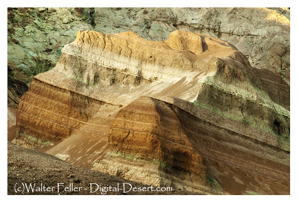
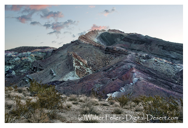
Here’s a comparison between the geomorphology of the Funeral Mountains – Greenwater Valley subsection and the second geomorphological description:
Geomorphology
Funeral Mountains and Greenwater Valley
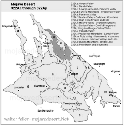
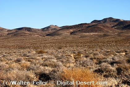
- Landforms: Steep to very steep mountains and valleys, with very gently to moderately sloping alluvial fans, nearly level basin floors, and dry lake beds.
- Orientation: Mountains align north-south or north-northwest.
- Elevation Range: About 1,000 feet to 6,703 feet on Pyramid Peak, with many peaks over 5,000 feet.
- Geomorphic Processes: Mass wasting, fluvial erosion and deposition, and eolian deflation and deposition.
Geomorphology
Geomorphology is the scientific study of landforms and the processes that shape them, including their origin, evolution, and spatial distribution.
Geomorphology
Lucerne and Johnson Valleys
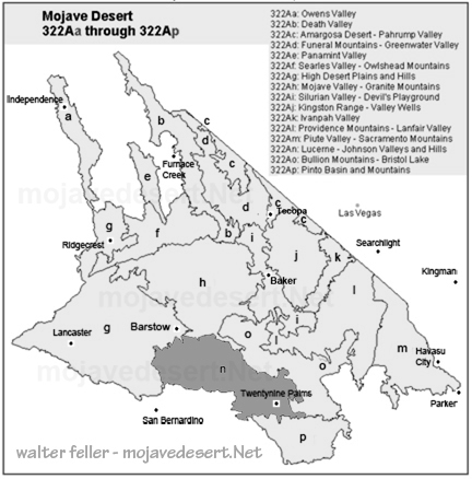
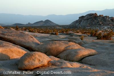
- Landforms: Steep mountains, moderately steep hills, gently to moderately sloping pediments and alluvial fans, nearly level basin floors, and dry lake beds. Presence of “badlands” on eroded Miocene nonmarine sedimentary rocks.
- Orientation: The hills’ general orientation is less straightforward than the major faults, which trend northwest.
- Elevation Range: About 1,600 feet up to 4,873 feet in the Granite Mountains, 5,525 feet in the West Ord Mountains, 6,309 feet in the East Ord Mountains, and 5,878 feet in the Rodman Mountains.
- Dry Lake Beds: Includes Lucerne, Soggy, Melville, Galway, Emerson, and Deadman Lake.
- Geomorphic Processes: Mass wasting, fluvial erosion and deposition, and eolian deflation and deposition.
Comparison
- Landforms: Both regions feature steep mountains and valleys, alluvial fans, basin floors, and dry lake beds. However, the second description includes pediments and mentions “badlands,” which are not noted in the Funeral Mountains – Greenwater Valley description.
- Orientation: The Funeral Mountains – Greenwater Valley mountains align north-south or north-northwest, while the hills in the second description have a less clear orientation than the major northwest-trending faults.
- Elevation Range: The Funeral Mountains – Greenwater Valley has a broader elevation range, reaching higher peaks (up to 6,703 feet), whereas the second area reaches 6,309 feet in the East Ord Mountains.
- Dry Lake Beds: The second description specifies several large dry lake beds by name, which are not mentioned in the Funeral Mountains – Greenwater Valley description.
- Geomorphic Processes: Both regions experience similar geomorphic processes, including mass wasting, fluvial erosion and deposition, and eolian deflation and deposition.
In summary, while both regions share common geomorphic features and processes, they differ in specific landform characteristics, elevation ranges, and the presence of features such as “badlands” and named dry lake beds.
