Historical Timeline
Big Bear, California, began as Yuhaaviatam homeland, later drawing gold seekers, ranchers, and dam builders. From Holcomb Valley’s 1860 rush to a four-season resort, its story blends natural beauty, resource ingenuity, and mountain tradition.
Prehistory
• The Big Bear Valley has been inhabited for thousands of years by the Yuhaaviatam (Serrano) people, who live in seasonal villages and call the area “Yuhaaviat,” meaning “Pine Place.”
1845
• Benjamin Davis Wilson leads a posse into the San Bernardino Mountains in pursuit of raiders. The group encounters numerous grizzly bears and kills several, naming the area “Big Bear Valley.”
1850s
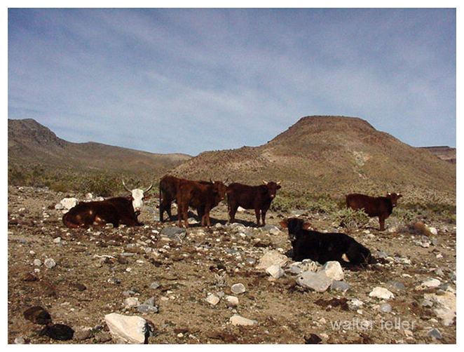
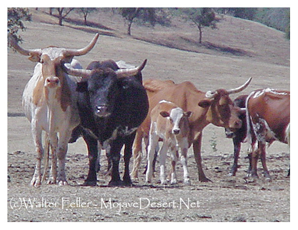
• Early trappers and cattlemen moved through the San Bernardino Mountains. The valley remains largely remote and unsettled.
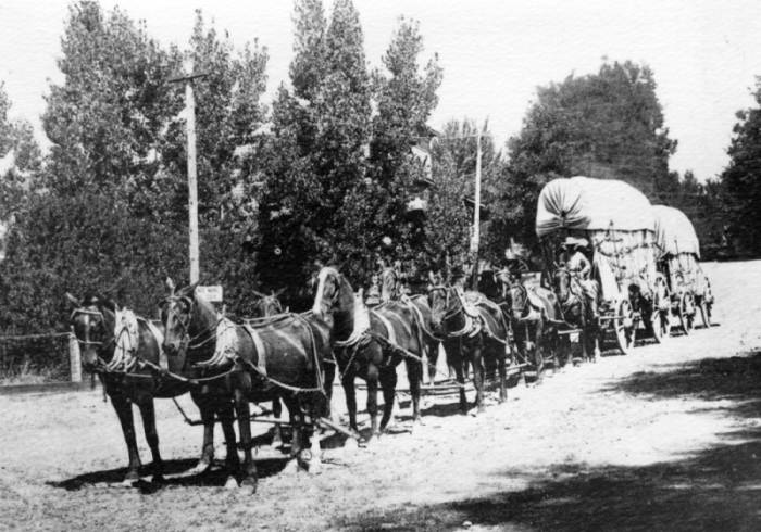
1860
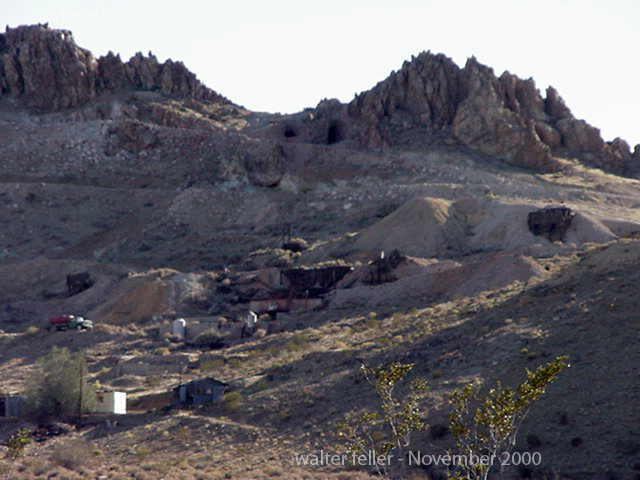
• William F. “Bill” Holcomb discovers gold in Holcomb Valley, triggering a rush that brings hundreds of miners and creates mining camps such as Belleville, Union Town, and Clapboard Town.
1861–1862
• The Holcomb Valley boom peaks; San Bernardino County’s population surges. Belleville nearly becomes the county seat but loses to San Bernardino by two votes.
1863–1865
• Decline of the first gold boom as surface gold plays out. Miners leave, and the valley returns to quiet ranching and logging activity.
1870s
• Elias J. “Lucky” Baldwin acquires mining claims around Baldwin Lake and forms the Gold Mountain Mining Company. A second wave of mining begins, centered on the Baldwin Mine.
1884
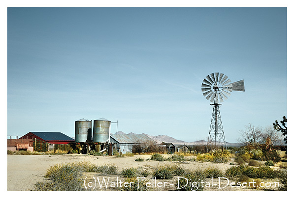
• Frank Elwood Brown, a Redlands citrus grower, constructs the first Bear Valley Dam, a single-arch granite structure. The reservoir created by this dam was named Big Bear Lake.
1890s
• Big Bear’s role shifts from mining to recreation. Hunters, anglers, and early tourists begin to visit the mountain lake area. Lodges and cabins start to appear.
1903
• Lower-valley growers formed the Bear Valley Mutual Water Company to manage the reservoir and water rights.
1910–1912
• A new multiple-arch dam, designed by John S. Eastwood, replaces Brown’s dam, raising the lake level by about 20 feet and greatly expanding its capacity.
1920s
• Roads improve, and the automobile brings increased tourism. The town of Pineknot develops on the lake’s south shore with lodges, stores, and resorts.
1930s
• Winter recreation grows. Early ski runs are cut, and lodges cater to both summer and winter visitors.
• 1938 – Pineknot officially changes its name to Big Bear Lake.
1940s
• Big Bear becomes a year-round resort. During World War II, mountain roads were used for military transport training, but the area remained largely a recreation destination.
1950s
• Big Bear Alpine Zoo opens as a rehabilitation center for injured wildlife (1959).
• Ski development accelerates with lifts at Snow Summit.
1960s
• Tourism and second-home construction expand rapidly.
• The Big Bear Valley Historical Society was founded in 1967.
1970s
• The community continues to grow, balancing tourism with environmental concerns.
1980
• The City of Big Bear Lake was incorporated on November 28.
1980s
• Alpine Slide at Magic Mountain opens (1983).
• Ongoing improvements in highways and infrastructure make Big Bear a popular four-season resort.
1990s
• Big Bear becomes known for altitude training by professional athletes, including world-class boxers.
2000s–Present
• Tourism, recreation, and environmental stewardship define the region.
• The old 1884 dam remains a historical landmark, sometimes visible during low water levels.
• Big Bear preserves its mountain-resort heritage while serving as a gateway to the San Bernardino National Forest.
Big Bear and the Digital Desert are closely related through geography, ecology, history, and human development. The Digital Desert’s broader Mojave focus naturally overlaps with Big Bear’s transitional mountain-desert setting in several key ways:
Geographic Connection
Big Bear sits at the top of the Santa Ana River watershed, where mountain snowmelt begins the river’s underground journey to Southern California hills and valleys.
Ecological Transition Zone
The region bridges montane and desert biomes. Pinyon-juniper woodlands, chaparral, and Joshua tree habitats meet higher-elevation conifer forests. This gradation provides examples of how altitude, temperature, and moisture shape plant and animal communities—central themes within the Digital Desert’s ecological framework.
Historical Ties
Figures like William Holcomb and Lucky Baldwin tie Big Bear’s mining story to other desert mineral ventures, including Holcomb Valley’s influence on later Mojave mining booms. Trails from Big Bear connected to routes leading toward Lucerne Valley, Johnson Valley, and beyond—pathways that also appear throughout Mojave Desert exploration and settlement history.
Water and Infrastructure
The Bear Valley dams (1884 and 1912) represent early Southern California water engineering that parallels other Digital Desert themes such as aqueducts, irrigation systems, and the transformation of desert hydrology. Big Bear’s water storage directly supported the agricultural valleys below, tying mountain runoff to desert life.
Cultural and Recreational Link
Both Big Bear and the Mojave represent frontier landscapes turned into recreation destinations. The same pioneer spirit that shaped desert communities like Apple Valley or Hesperia carried over into Big Bear’s tourism development—cabins, roads, and storytelling built around rugged independence and mountain allure.
Interpretive Relationship
Within the Digital Desert framework, Big Bear serves as a high-elevation counterpart—a living case study for water origins, ecological transition, and cultural continuity. It connects the snow-fed headwaters to the dry basins below, showing the mountain-desert system as one continuous, interdependent landscape.
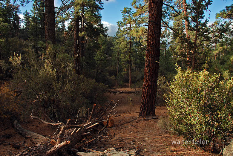
Ecological Description
Big Bear Valley lies high in the San Bernardino Mountains, about 6,700 to 7,000 feet above sea level, forming a broad mountain basin surrounded by rugged granite peaks and forested ridges. The valley stretches roughly east–west, framed by Butler Peak and Delamar Mountain to the north, and Sugarloaf Mountain, Gold Mountain, and the San Gorgonio massif to the south and east.
The valley floor is relatively flat, a remnant of ancient glacial and erosional processes, with Big Bear Lake occupying its central depression. Originally a meadowed valley with creeks and marshes, it became a permanent lake after the Bear Valley Dams were built. The soils are derived from decomposed granite, supporting open forests and meadows interspersed with boulder-strewn slopes.
Ponderosa pine, Jeffrey pine, white fir, and incense cedar dominate the higher slopes. At the same time, black oak, manzanita, and chaparral fill the lower edges in sheltered meadows and along streams, willows and alders grow, creating rare wetland habitats for species such as the mountain yellow-legged frog and bald eagle.
The climate is alpine-mediterranean—cold, snowy winters and warm, dry summers—marked by dramatic seasonal shifts. Snowmelt feeds Big Bear Creek and Baldwin Lake, the latter a seasonal alkali flat on the eastern edge of the valley.
Ecologically, Big Bear Valley forms the upper boundary of the Mojave Desert drainage system. It captures mountain precipitation that ultimately seeps underground toward Lucerne and the Mojave River basin, linking the high forest to the desert below.
Timeline References
- Big Bear Valley Historical Museum. “History of Big Bear Valley.” Big Bear Valley Historical Society, Big Bear City, CA.
- BigBear.com. “Dam: The Creation of Big Bear Lake.” Big Bear Visitors Bureau.
- BigBearCabins.com. “About Big Bear: A History.” Big Bear Cabins Travel Guide.
- BigBearVacations.com. “A History of Big Bear.” Big Bear Vacations Blog.
- San Bernardino County Museum Archives. “Mining and Settlement in the San Bernardino Mountains.”
- Eastwood, John S. “The Multiple-Arch Dam of Bear Valley.” Engineering Record, 1912.
- U.S. Forest Service. “San Bernardino National Forest: Ecological Subsections and Watershed Overview.”
- Bear Valley Mutual Water Company. “Early Development and Water Rights History.”
- Langenheim, Jean H., and P. H. Osman. “Vegetation and Ecology of the San Bernardino Mountains.” University of California Publications in Botany, 1959.
- California Department of Fish and Wildlife. “Baldwin Lake Ecological Reserve Management Plan.”
- San Bernardino Valley Water District. “Hydrologic History of the Bear Valley and Mojave River System.”
- Wikipedia contributors. “Big Bear Lake, California.” Wikipedia, The Free Encyclopedia.
- Wikipedia contributors. “Big Bear Valley Historical Museum.” Wikipedia, The Free Encyclopedia.
- Brown, F. E. “The First Bear Valley Dam and the Redlands Water System.” Redlands Historical Society Papers, 1884–1905.
- U.S. Geological Survey. “Geology and Hydrology of the Big Bear Lake Region, San Bernardino County, California.” Professional Paper Series.