Mojave Preserve – NPS

LIST OF ILLUSTRATIONS –


Mojave Administrative History; NPS – Eric Nystrom

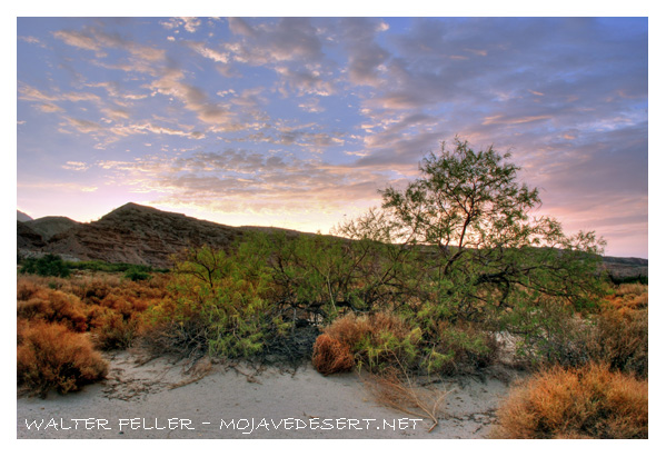
Illustration 1 – Joshua tree and buckhorn cholla

Illustration 2 – Prehistoric petroglyphs at Indian Well

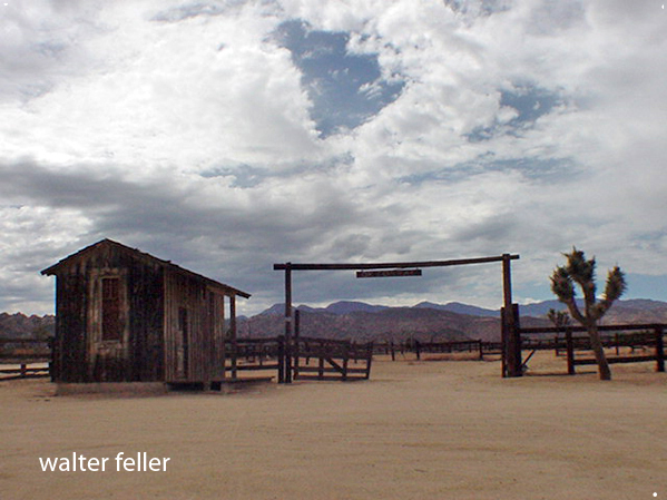
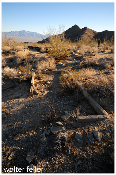
Illustration 3 – The 7IL Ranch

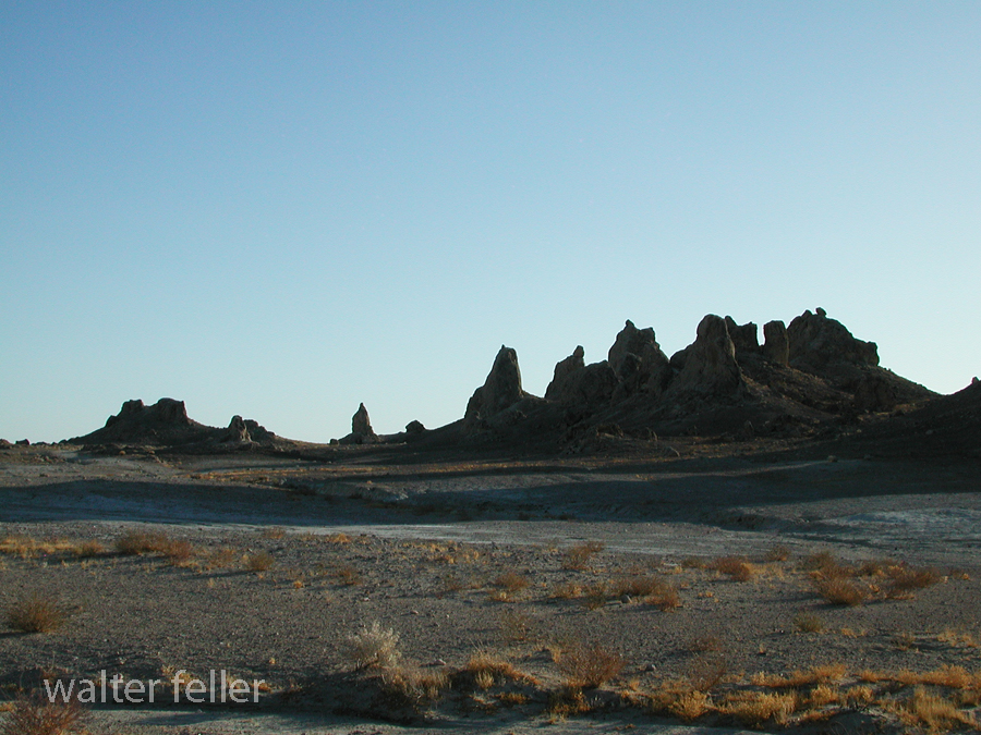
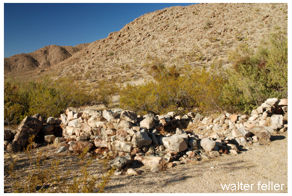
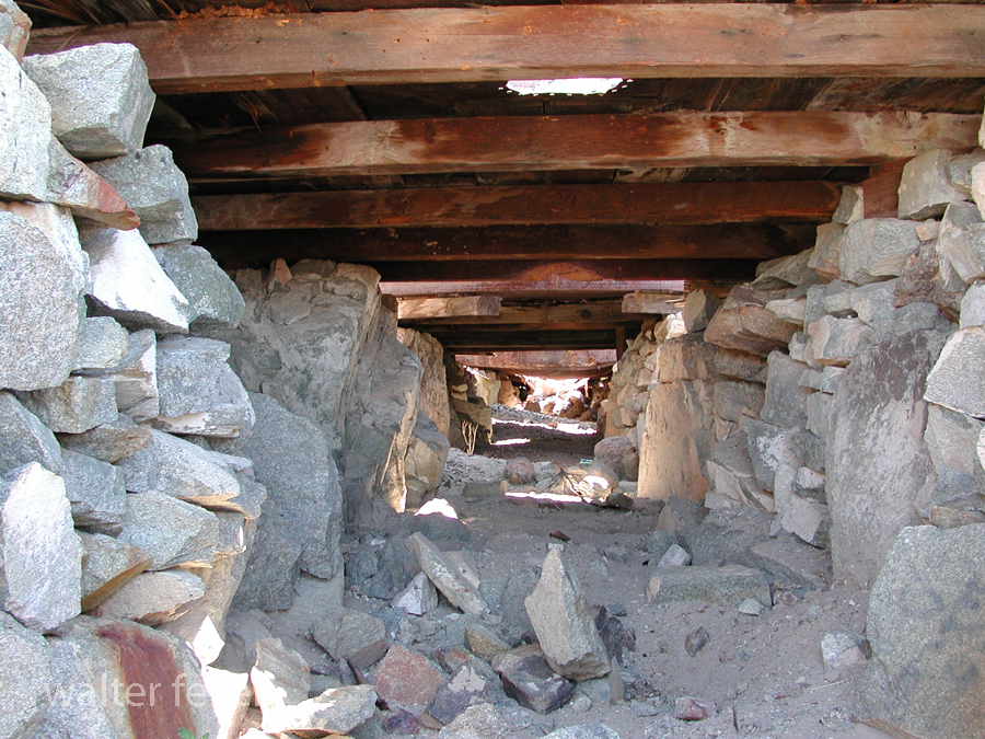
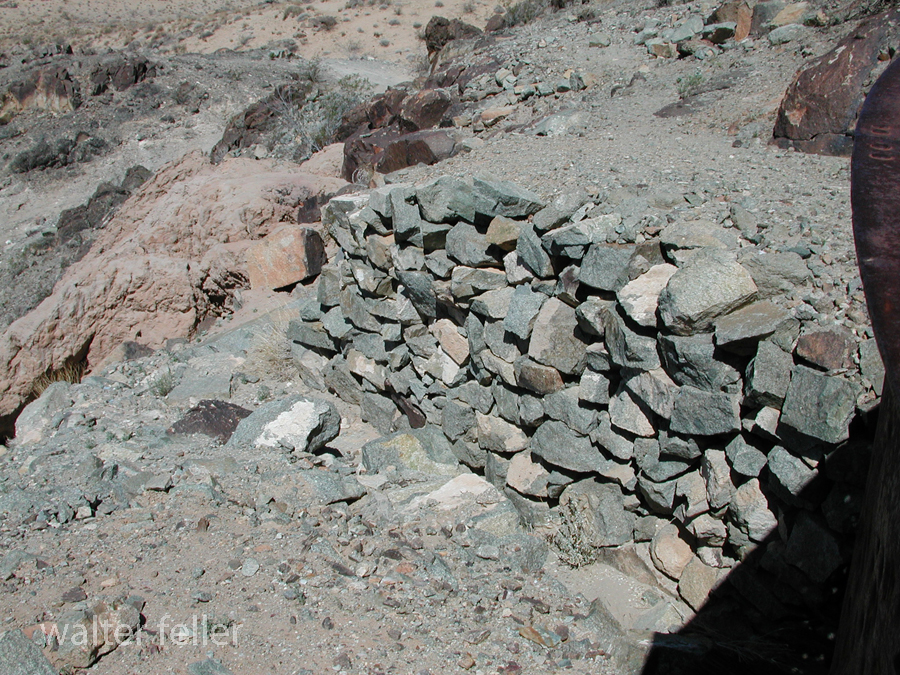
Illustration 4 – Stone walls of 1880s-era Providence

Illustration 5 – U.S. Highway 66, Essex, California

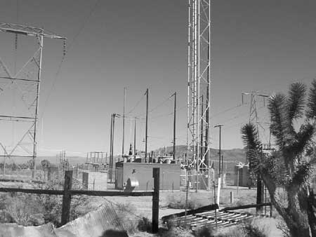
Illustration 6 – High-tension power wires and associated infrastructure

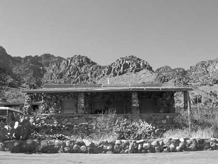
Illustration 7 – Visitor’s center for Providence Mountains State Recreation Area

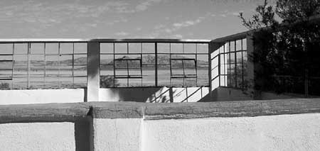
Illustration 8 – Zzyzx

Illustration 9 – Four-wheel drive vehicles traveling the Mojave Road

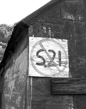
Illustration 10 – Painted sign opposing S.21

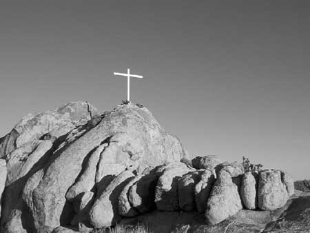
Illustration 11 – Cross on Sunrise Rock

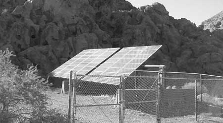
Illustration 12 – Solar panels at Hole-in-the-Wall

Illustration 13 – Mojave National Preserve entrance monument

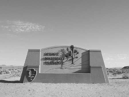
Illustration 14 – Official logo of Mojave National Preserve

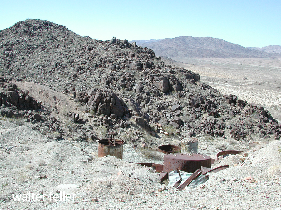
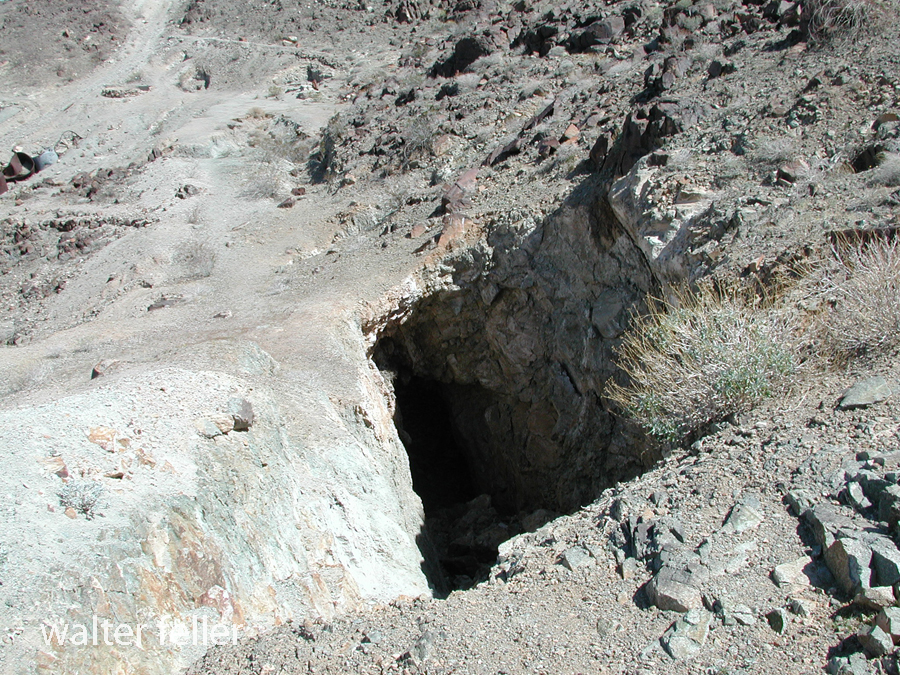
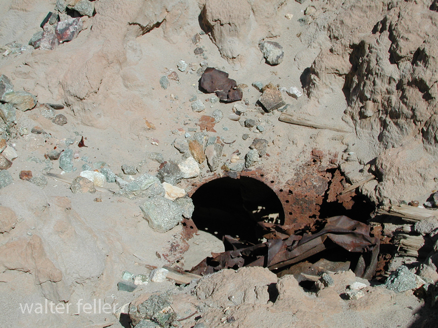
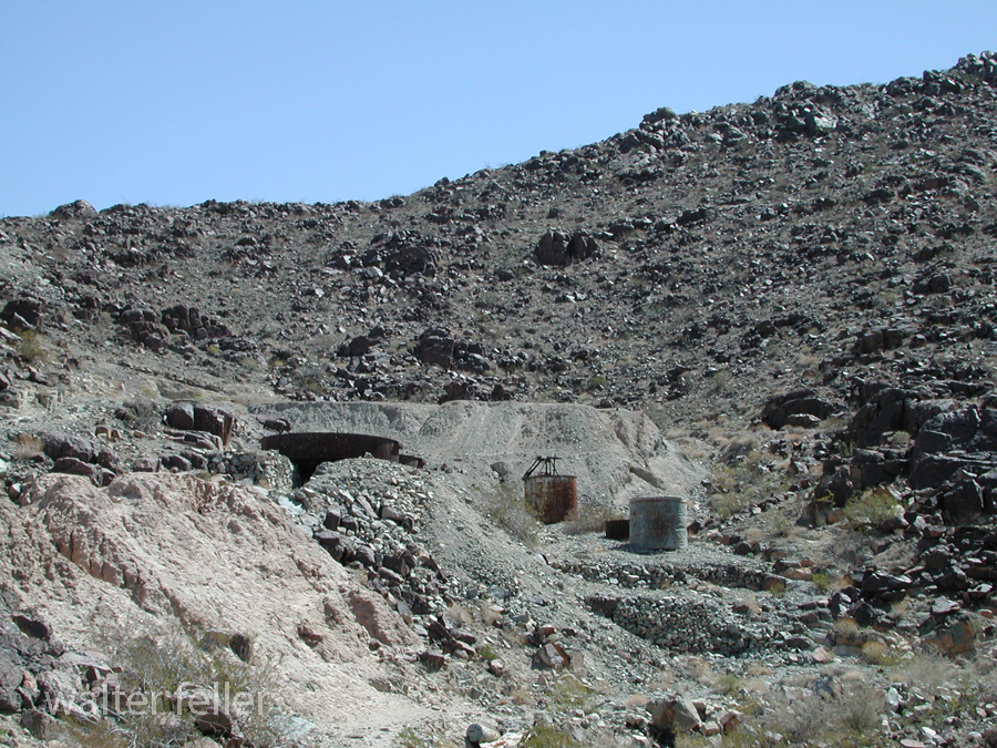
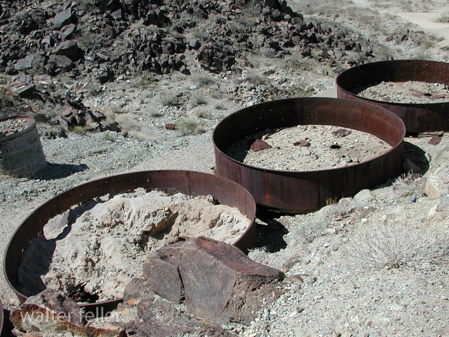
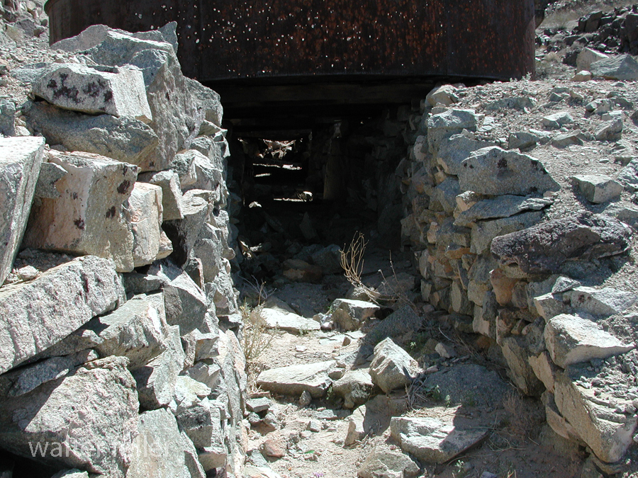
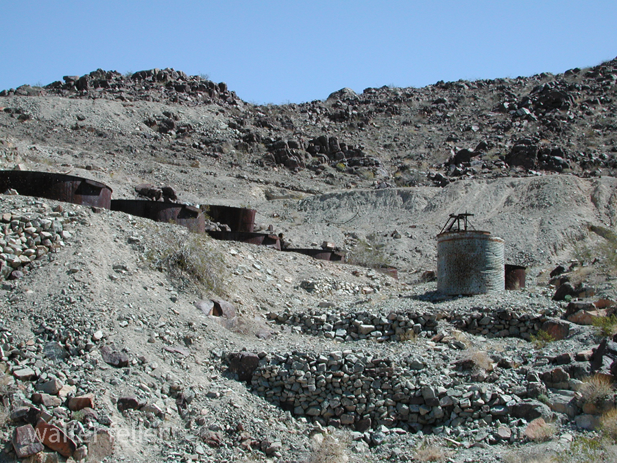
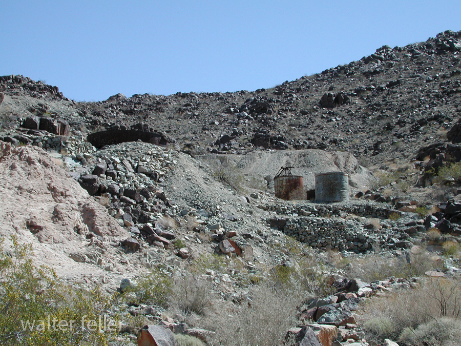
Illustration 15 – Buildings at the New Trail Mine

Illustration 16 – Graffiti on Kelbaker Road

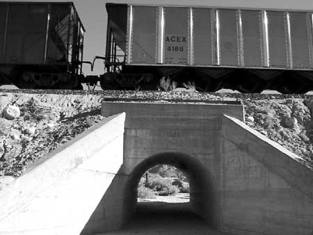
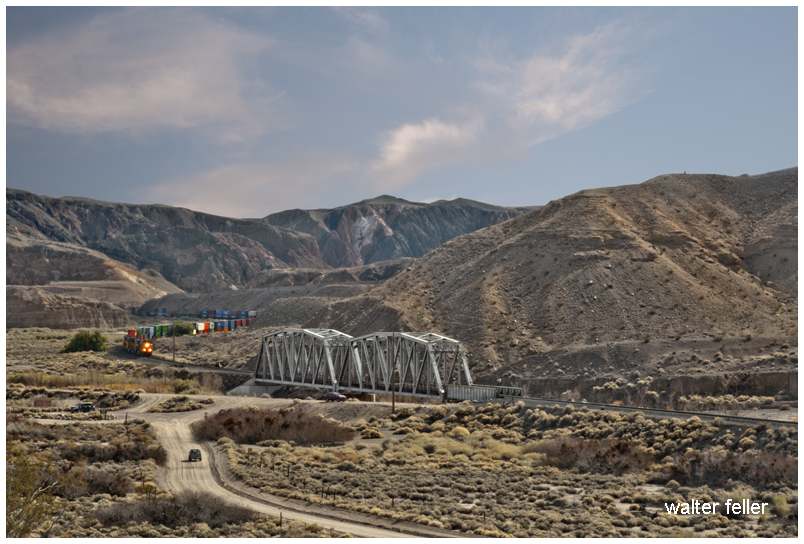
Illustration 17 – The Union Pacific Railroad

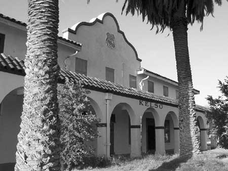
Illustration 18 – Kelso Depot

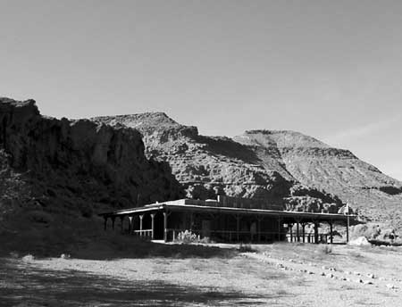
Illustration 19 – NPS visitors’ center at Hole-in-the-Wall

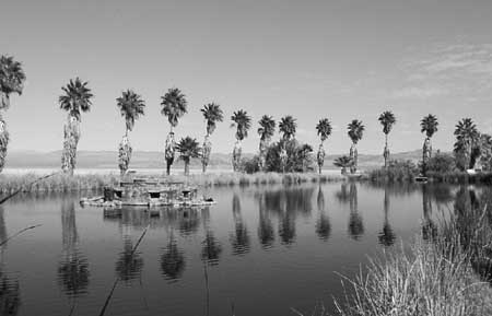
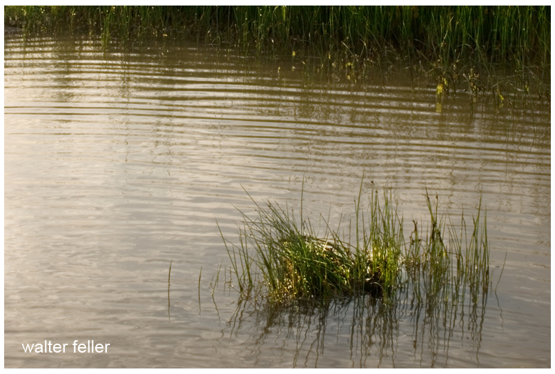
Illustration 20 – Lake Tuendae at Zzyzx

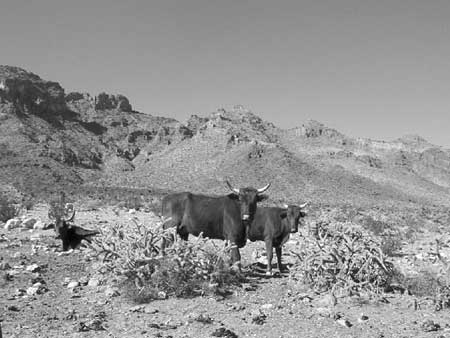
Illustration 21 – Desert cattle

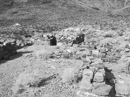
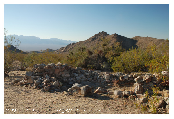
Illustration 22 – Rock walls of the military outpost at Piute Creek

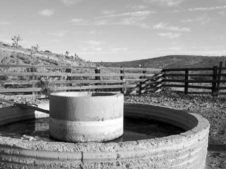
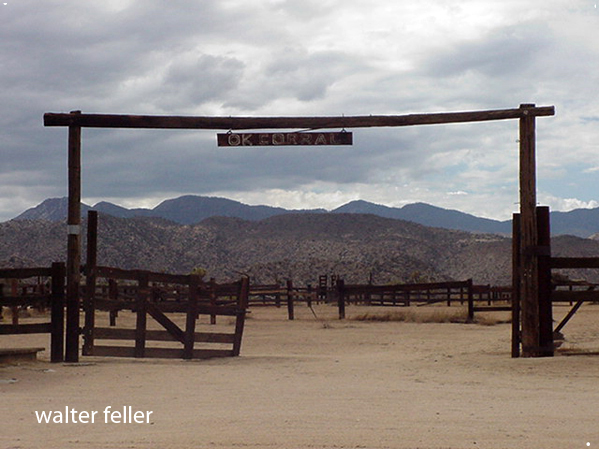
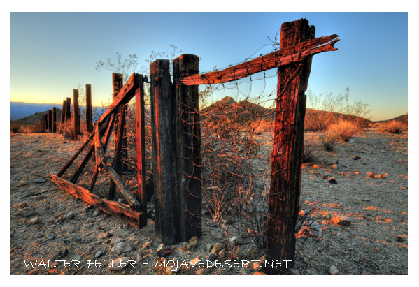
Illustration 23 – The Rock Springs Land & Cattle Company trough and corral

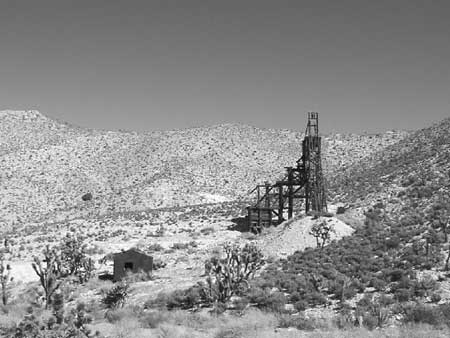
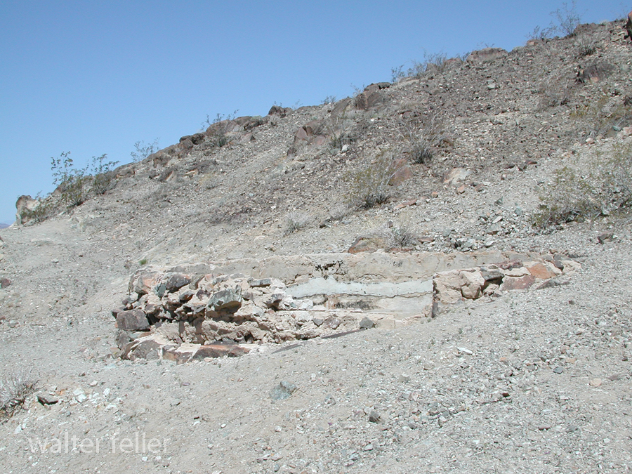
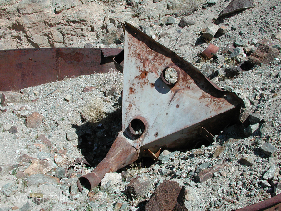
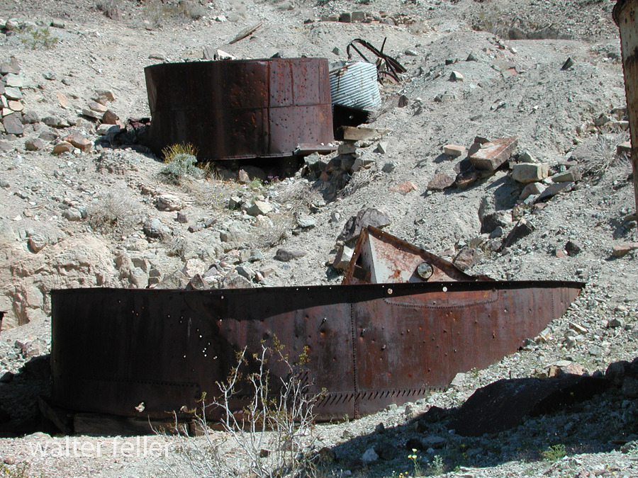
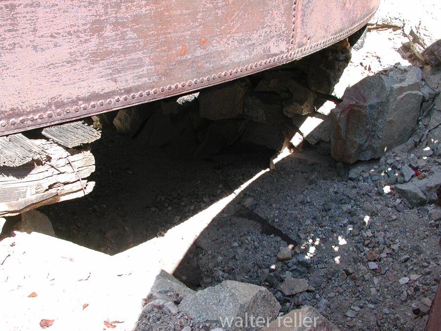
Illustration 24 – Headframe of the Evening Star Mine

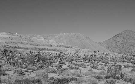
Illustration 25 – Morning Star Mine

Marl Spring

/marl-springs/

Marl Springs is a historical site located in the Mojave Desert National Preserve in California. The area has significance due to its role as a water source for travelers and settlers in the desert region. Here’s a brief history of Marl Springs:

  1. Native American Presence: The Mojave Desert has a long history of Native American habitation. The Chemehuevi and Mojave people were among the indigenous groups living in the area. These Native American communities deeply understood the desert environment and its resources.
  2. Exploration and Early Settlement: In the 19th century, the Mojave Desert attracted explorers, pioneers, and prospectors seeking new opportunities. The Mojave Road, a route through the Mojave Desert, and Marl Springs became a crucial water source for travelers along this route.
  3. Military Use: During the mid-1800s, the U.S. Army established a military presence in the Mojave Desert. With its reliable water source, Marl Springs was a strategic location for military operations and a resting point for troops moving through the region.
  4. Mining Activity: Like many areas in the Mojave Desert, Marl Springs saw mining activity during the late 19th and early 20th centuries. Prospectors sought minerals such as gold and silver in the surrounding hills, contributing to the region’s development.
  5. Railroad Expansion: The railroad‘s arrival led to changes in transportation patterns, reducing the importance of some stagecoach routes. However, Marl Springs retained significance for those traveling by road or seeking water in the desert.
  6. Mojave Desert National Preserve: In 1994, the preserve was established to protect the unique desert ecosystem and preserve its cultural and historical resources. Marl Springs is now part of this national preserve, allowing visitors to explore its historical remnants and appreciate its role in the region’s past.

Today, Marl Springs stands as a testament to the challenges and opportunities the Mojave Desert presents, showcasing the intersection of natural resources, human history, and the development of transportation routes in the American West.

Afton Canyon

Afton Canyon Natural Area

Afton Canyon is a scenic and geologically interesting area located in the Mojave Desert of Southern California, USA. It is often called the “Grand Canyon of the Mojave” due to its impressive and rugged landscapes. One of the notable features of Afton Canyon is its association with the Mojave River.

The Mojave River runs through Afton Canyon, creating a unique riparian (riverbank) environment amid the desert. The river, although intermittent in some sections, has carved a deep and narrow canyon through the surrounding sedimentary rocks, exposing colorful layers of sediment and providing a habitat for various plant and animal species.

Afton Canyon is part of the Mojave National Preserve, a unit of the National Park Service. The area is popular for outdoor activities such as hiking, bird watching, and camping. The canyon also features a historic railroad route, including a section known as the “Afton Canyon Natural Area,” which showcases the old railway trestle that spans the Mojave River.

The geology of Afton Canyon is noteworthy, as it exposes layers of sedimentary rocks, including sandstone and mudstone, which tell a story of the region’s geological history. The canyon’s formation is attributed to the erosive power of the Mojave River over time.

Visitors to Afton Canyon can explore its scenic beauty, enjoy recreational activities, and learn about the unique geological and natural features that make this area a special part of the Mojave Desert.