Who Is in Charge?
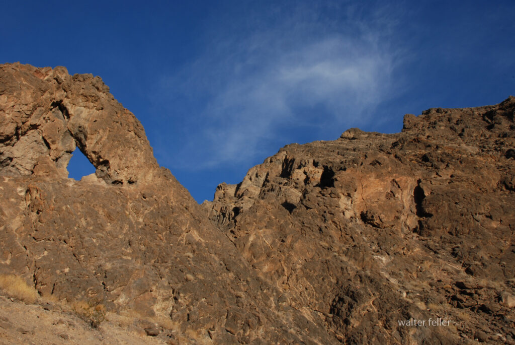
No single government, tribe, agency, or company controls the Mojave Desert. That is the first rule for understanding its history. The Mojave is not one jurisdiction. It is an area with many overlapping authorities. It is older than the borders now drawn. It is still managed piece by piece: by federal land agencies, tribal nations, state governments, county supervisors, city councils, military commands, water districts, railroads, utilities, conservation laws, mining claims, private property, and custom.
Before American maps and agencies, Native peoples held authority over the region. Their homelands, trails, springs, food-gathering areas, trade routes, and river crossings shaped the land. This was not “ownership” in the later courthouse sense; instead, it meant use, memory, obligation, defense, kinship, and sacred geography. The Mojave people controlled key parts of the Colorado River. Paiute, Chemehuevi, Serrano, Cahuilla, Kawaiisu, Timbisha Shoshone, and others were tied to desert and mountain margins. Authority followed water, trails, seasonal movement, and social ties.
Spanish and Mexican authority followed, coming lightly and unevenly. The Mojave was crossed, described, feared, and sometimes claimed. It was not closely governed. Missions, ranchos, military parties, and traders affected the edges and corridors more than the interior. The desert was difficult to occupy in the usual colonial way. Water was scarce. Distances were great. Native people still controlled much of the practical geography.
After the United States took California and the Southwest, authority became more formal but not necessarily more complete. Surveyors, soldiers, miners, freighters, railroad companies, and county officials imposed new systems of control. Military posts guarded roads and river crossings. Mining districts drafted local rules before the full government arrived. Stage and wagon roads made certain corridors important. Counties claimed jurisdiction, but their reach was often thin.
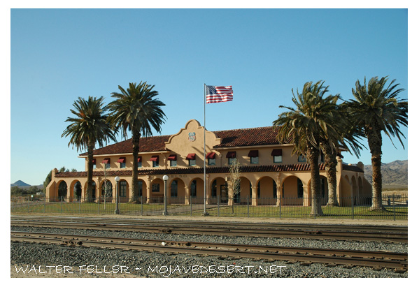
The arrival of the railroad changed the balance of power. The Atlantic and Pacific Railroad, later tied to the Santa Fe system, crossed the Mojave. Authority gathered around depots, water stops, sidings, land grants, and townsites. Places like Daggett, Barstow, Needles, Kelso, and Mojave developed. Transportation created order in a land that had previously resisted centralized control. The railroad did not govern the whole desert. However, it controlled movement, freight, settlement patterns, and economic opportunity.
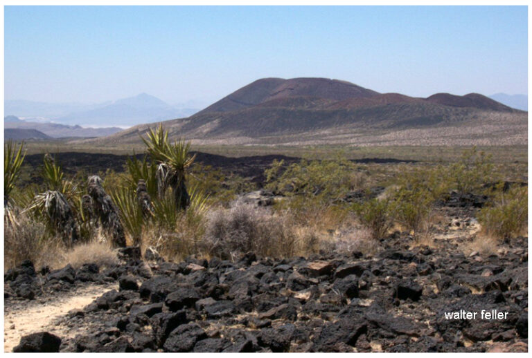
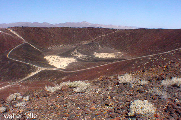
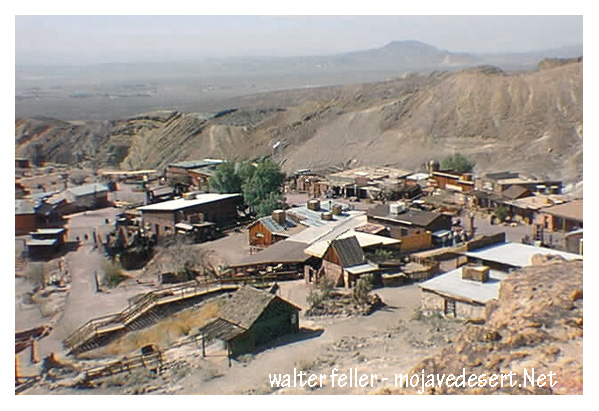
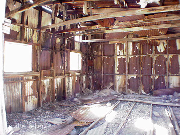
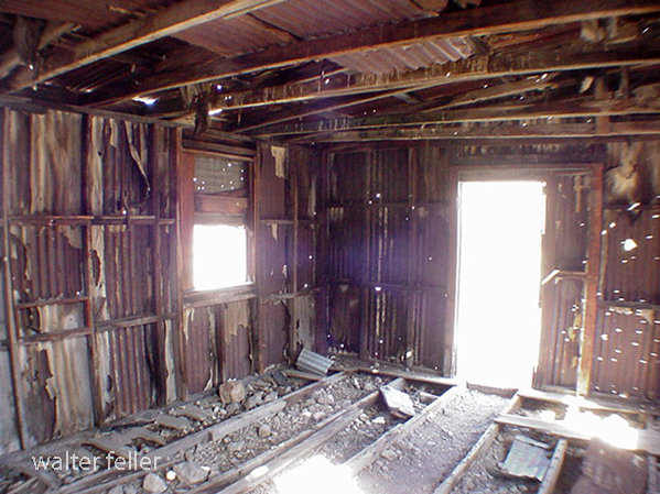
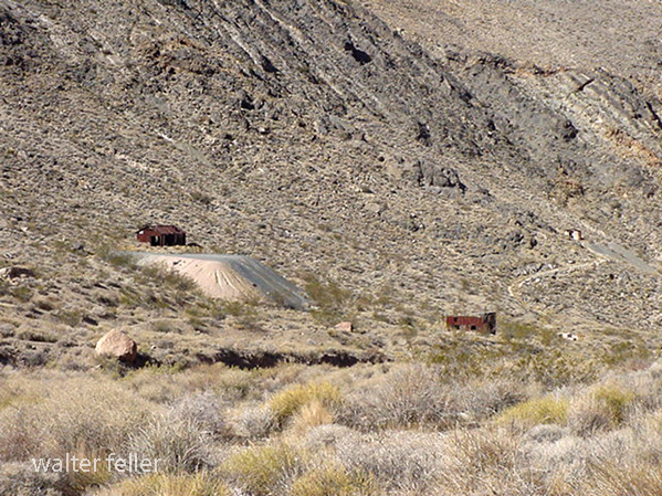
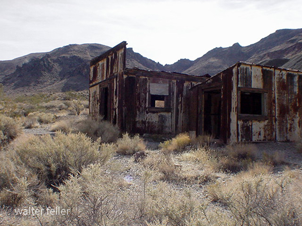
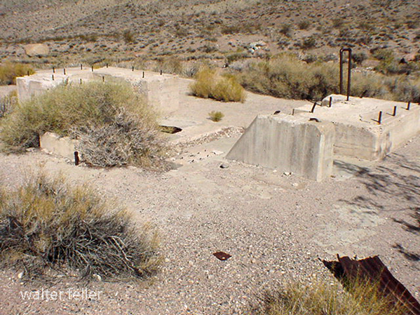
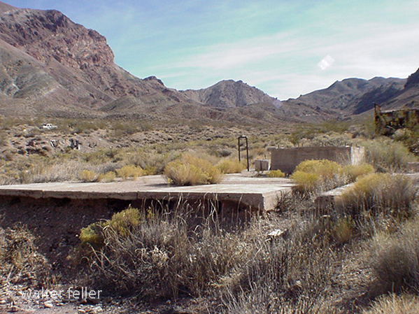
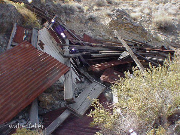
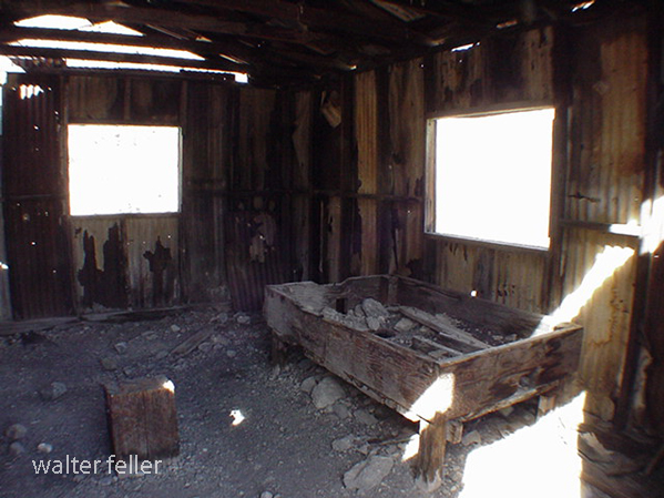
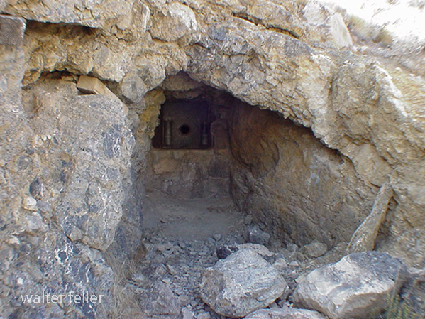
Mining created another layer. Silver, gold, borax, copper, iron, salt, and other minerals brought camps, claims, mills, roads, and speculation. In many districts, authority came from miners’ meetings, claim notices, local custom, and whoever could pay for extraction and hauling. Over time, state and federal law provided the legal framework. On the ground, the desert was ruled by remoteness, money, water, and endurance.
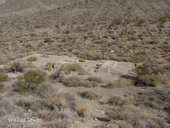
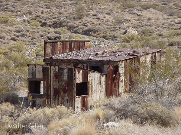
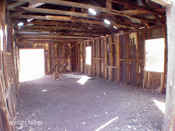
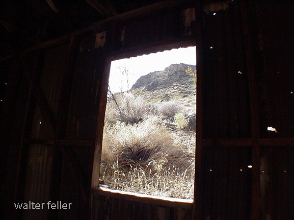
Homesteading added another layer to authority. The government encouraged settlement through land laws. Much of the Mojave, however, was marginal for farming. Some settlers proved up claims. Some built cabins. Some failed. Some left behind the jackrabbit homestead landscape. Authority here was paper-based: legal descriptions, patents, assessment rolls, roads, school districts, and county maps. But the land itself often had the final word.
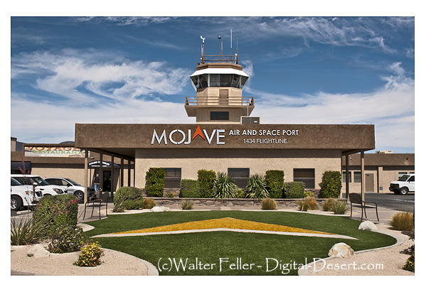
In the 20th century, the federal government became the main land authority. National parks, military bases, grazing districts, wildlife refuges, reclamation projects, and later BLM management made much of the Mojave public land. World War II and the Cold War expanded the military presence. Fort Irwin, China Lake, Edwards Air Force Base, Marine Corps bases, and training ranges made the desert a national defense site.
At the same time, water and power authorities became decisive. As a result, projects like the Hoover Dam, the Colorado River system, aqueducts, transmission lines, pipelines, and later solar and wind initiatives connected the Mojave to cities across the Southwest. In this phase, the desert was governed by both land ownership and infrastructure.
Later, the conservation era changed the question of authority again. Laws and designations like the 1964 Wilderness Act, the 1976 Federal Land Policy and Management Act, the California Desert Conservation Area, and the 1994 California Desert Protection Act redefined much of the Mojave as habitat, wilderness, cultural landscape, and public trust. Groups such as the National Park Service, BLM, Fish and Wildlife, state agencies, county governments, tribes, miners, ranchers, off-road users, utilities, conservation groups, and local residents all joined the debate.
Today, much of the California desert is managed by the Bureau of Land Management. Other major areas are under the National Park Service, such as Mojave National Preserve, Joshua Tree National Park, and Death Valley National Park. The military is also a major landholder and decision-maker. Tribal authority is increasingly recognized through consultation, co-stewardship, and co-management, though this is not always done equally or adequately. Counties regulate land use in private and unincorporated areas. Cities govern their own townsites. Water districts, utilities, mining companies, conservation groups, and private owners all hold some authority.
Also, who is in charge?
The best answer is: it depends on where you are, what resource is at issue, and what kind of authority you mean. A ranger can control a campground. A county may control the zoning. A sheriff can enforce local law. The BLM can manage grazing, recreation, mining access, or conservation on public land. The Park Service may regulate activity within a preserve or park. A tribe may exercise cultural, historical, legal, and, sometimes, land-management authority. The military can close an entire landscape. A water district can decide the fate of an aquifer. A railway or utility may control a corridor. A private owner may hold title to a desert square surrounded by public land.
That is the Mojave’s pattern: not centralized command, but layered jurisdiction. The desert has always been negotiated valley by valley, spring by spring, road by road. Its history is people trying to cross it, use it, protect it, extract from it, defend it, name it, and claim it—but never mastering it. Whoever controlled water, movement, maps, law, minerals, military access, or infrastructure controlled part of the desert. But no one controlled it all. The Mojave is best seen not as a single chain of command, but as a contest between landform, use, law, memory, and power.