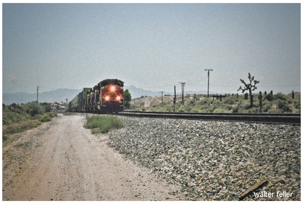
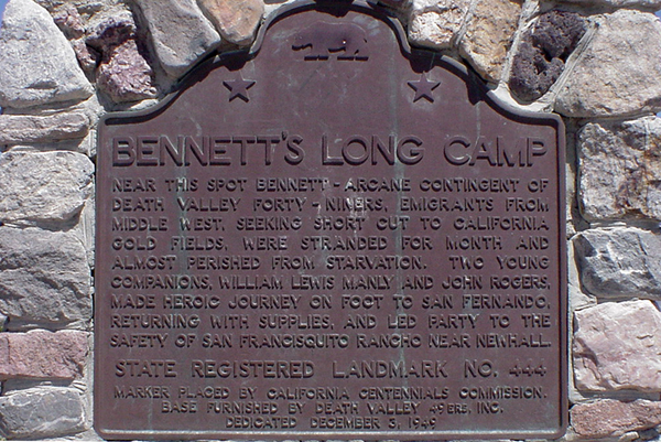
Railroads
Barstow, California. Intermodal freight transport involves the transportation of cargo in an intermodal container or vehicle, using multiple modes of transportation (e.g., rail, ship, and truck) without any handling of the freight itself when changing modes. This system reduces cargo handling, improves security, reduces damage and loss, and allows freight to be transported faster.
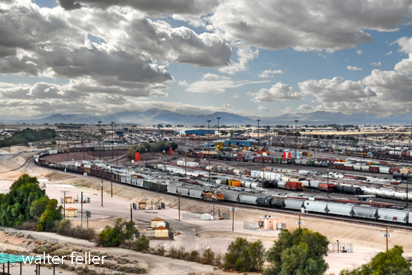
Barstow is a significant hub in the intermodal network due to its strategic location along major freight rail lines and highways. It facilitates the transfer of goods between different transportation modes, playing a critical role in the logistics and distribution chain, especially between major ports and inland destinations across the United States.
The history of the Barstow Intermodal facility is closely tied to the development of transportation infrastructure in the Barstow area, which has long been a key junction point for major rail and road routes.
- Railway History: Barstow’s role as a transportation hub began with the railroad. The area became a key railway center in the late 19th and early 20th centuries with the arrival of the Atchison, Topeka, and Santa Fe Railway (now part of the BNSF Railway). This established Barstow as a critical point in the transcontinental rail network, facilitating the movement of goods across the country.
- Intermodal Development: The concept of intermodal transport—moving goods in the same container or vehicle by multiple forms of transportation—gained popularity in the mid-20th century. Barstow’s strategic location made it a natural choice for developing intermodal facilities. The Barstow Intermodal facility allows for efficient transfer of containers between trains and trucks, optimizing the transport of goods to and from the ports of Los Angeles and Long Beach and across the wider United States.
- Economic Impact: Over the years, the intermodal facility has played a significant role in the economic development of Barstow and the surrounding region. It has created jobs, spurred the growth of logistics and support industries, and contributed to the local economy by facilitating efficient and cost-effective transportation of goods.
- Expansion and Modernization: The facility has continuously expanded to accommodate the growing demand for intermodal transport. Technology, infrastructure, and equipment investments have enhanced its capacity and efficiency, allowing it to handle larger freight volumes and adapt to changing transportation needs.
The history of Barstow Intermodal reflects the broader trends in transportation and logistics, showcasing the evolution from rail-centric freight movement to integrated, multimodal transport systems that support the dynamic flow of goods in a globalized economy.