/victorville-ca/
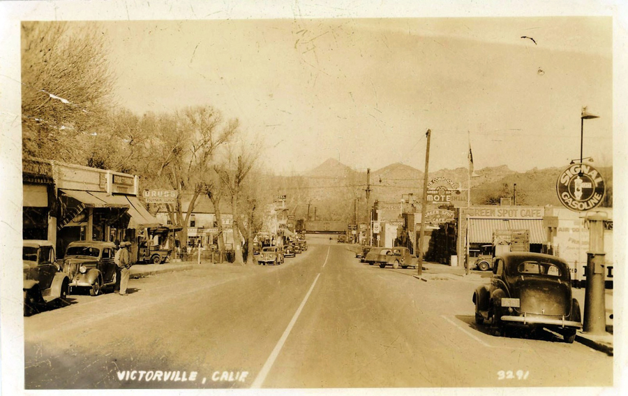
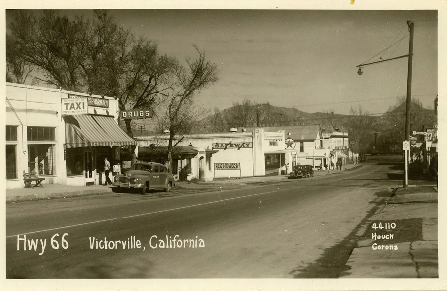
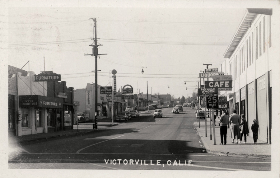
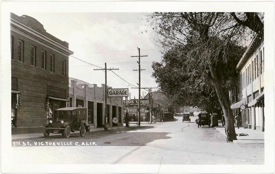
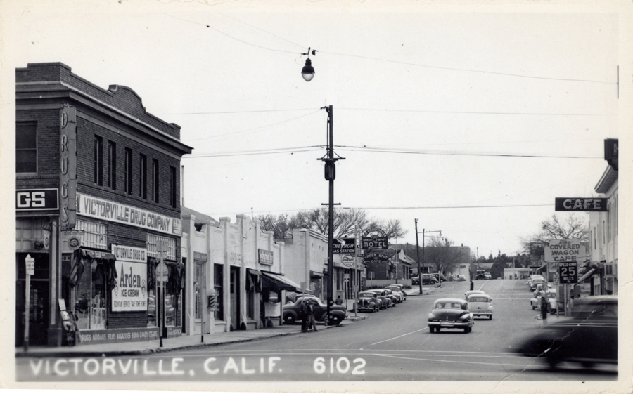
Collection of photos showing mostly Seventh and “D” Street area.

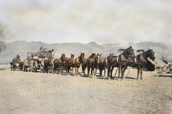
“Freighting” became an important occupation. The man who wished to engage in it must be a considerable capitalist, for the heavy wagons, constructed especially for the purpose, were expensive, and strong, well-broken mules were required. Eight, ten, twelve, and sometimes eighteen or twenty mules or horses were used as motive power for the “outfit.” The wagons were carefully packed, and often carried thousands of dollars worth of merchandise. The driving of one of these “freighters” over the mountains and deserts required forethought, prompt action, and good judgment. There was always danger from the Utes. Apaches and other Indians. The heat and the cold, the alkali dust, the blinding glare of the sun upon the desert sands, thirst and hunger—all of these tested to the uttermost the physical and mental powers of the teamsters.
Ingersoll’s century annals of San Bernadino County, 1769-1904
Shoshone, Ca. – 2005
Photos of Rhyolite, Nevada – 2000
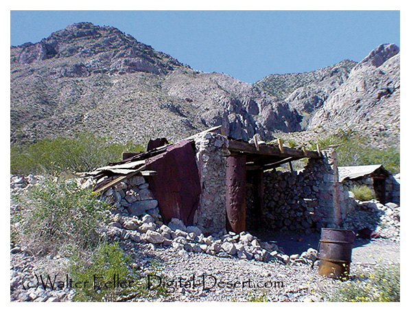
These photos were shot in 2003 with a Sony Mavica digital camera. Unfortunately, the original full-size (still low resolution) photos were lost. These images have been recovered from 320×240 images that were posted on the Digital-Desert website.
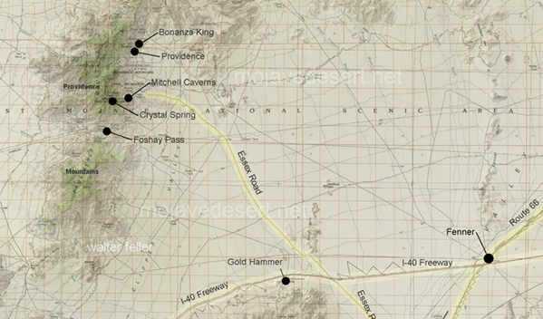
“In the spring of 1880, George Goreman and P. Dwyer, prospectors from Ivanpah, discovered rock that assayed from $640 to $5,000 a ton in silver. Their discovery, about 15 miles south of the old Macedonia District, was the birth of the Bonanza King Mine.”





These maps are based on a USGS 1901 base map and overlay onto a current street map. This series was developed to show how the dependence on potable water for man or beast shaped the transportation network in the late 19th Century.
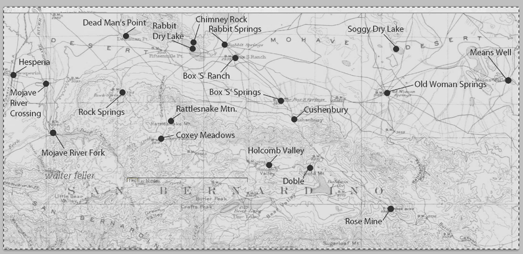
This map identifies various geographic locations, general features, and roads throughout the Lucerne & Johnson valleys as it was in 1901.
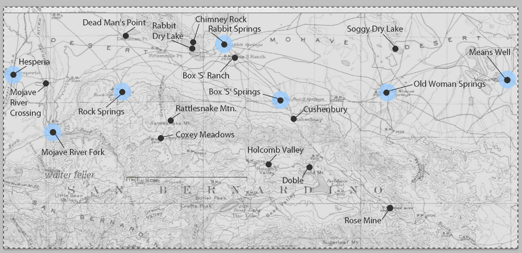
The blue marks show reliable water and rest stops as would be used by travelers and teamsters. These water stops are roughly 10 miles apart as the roads go.
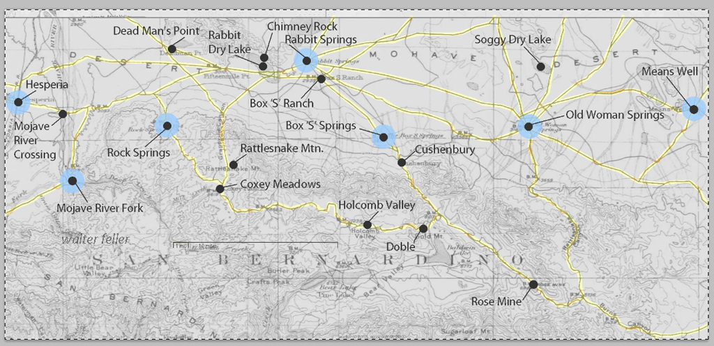
The generalized trails connecting the water and rest stops are highlighted. A few redundant and miscellaneous trails have been purposely omitted for clarity.
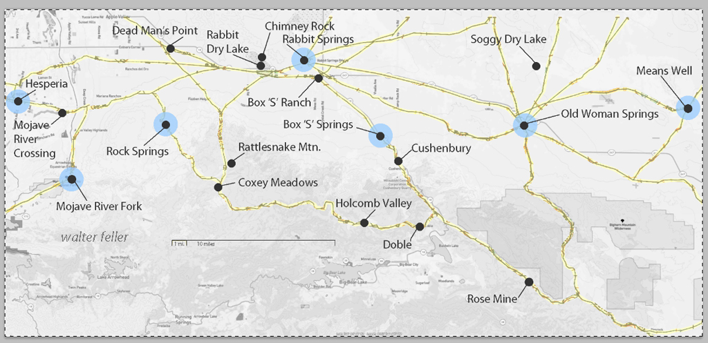
This map has had the 1901 base map replaced with a current street map.
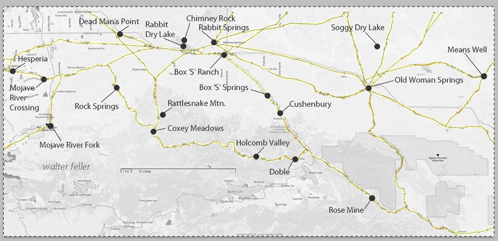
This map has had the water node locations removed.
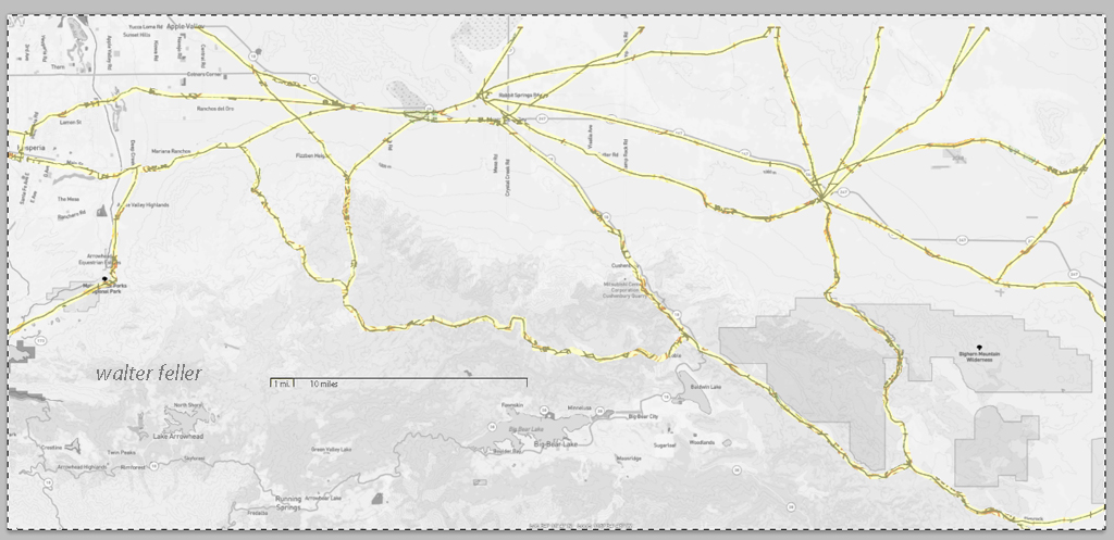
Finally, the 1901 trails have been highlighted and the location labels removed for clarity in showing the relationship between the roads then and now.
Jefferson Hunt’s Mojave San Joaquin Company, a wagon train made up of anxious gold seekers and settlers frustrated by a late start across the desert in late 1849 join with Captain Hunt to be guided across the Mojave Desert along the new southern route. Tensions rise with a wrong venture into the Escalante Desert and at a point east of Enterprise, and north of Mountain Meadows, Utah, anarchy ensues and the train breaks up into two factions; those who will become lost and those who will go on as planned. Of the 107 wagons in this once large party, only seven wagons remain.
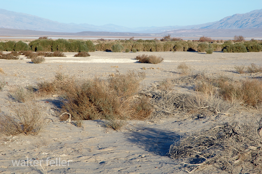
Furnace Creek, Death Valley National Park
On December 22, 1849, the ‘Mojave Sand-walking Company,’ as it became known, arrived in San Bernardino, California. At the same time the remaining ‘Lost ’49ers,’ about one-quarter of those who broke away originally, were entering the desolate Death Valley and would be celebrating Christmas Day near what we know as Furnace Creek.
Kelso Depot – Mojave National Preserve – 2006