Hike the Dawson Saddle Trail for Cooler Temps
AUGUST 19, 2020 BY CHRIS KASTEN
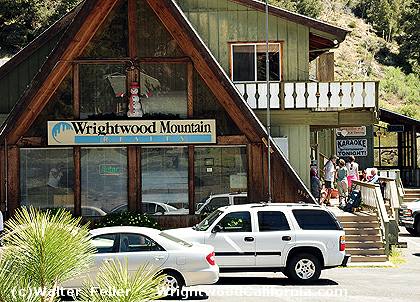
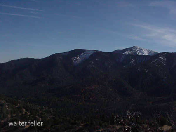
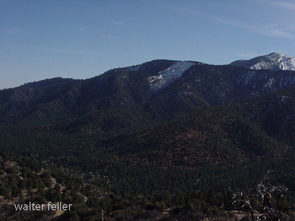
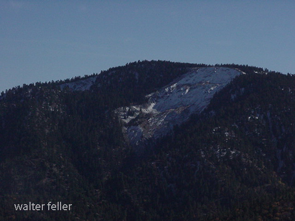
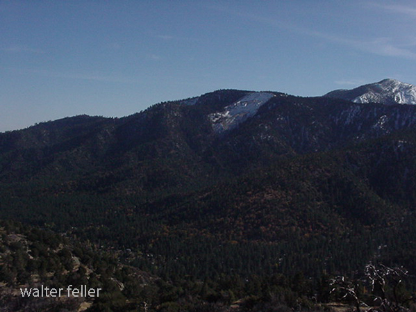
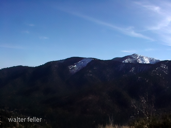
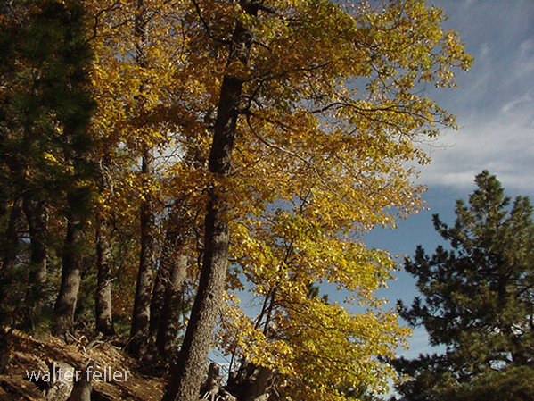
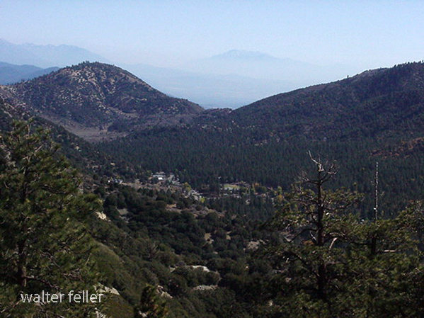
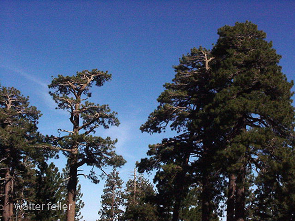
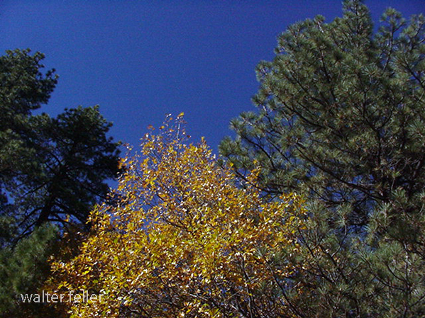
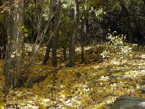
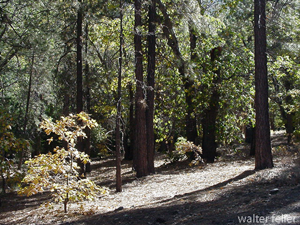
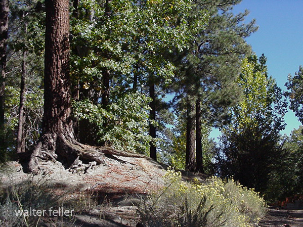
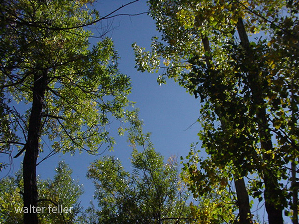
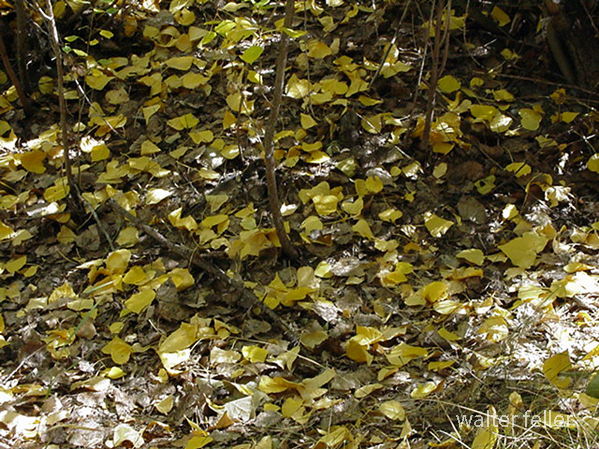
Hike the Dawson Saddle Trail for cooler temps and beautiful views of canyons and desert. A few days ago, Joanie and I drove up to Dawson Saddle for a late afternoon hike. Located approximately 13 miles west of Wrightwood, Dawson Saddle is the highest spot along the Angeles Crest Highway. At an elevation of 7,901′ , this trailhead starts you out at about the coolest temps possible this time of year. While the Front Country of the San Gabriel mountains smolders during the occasional heat waves of summer, high country hikes, or walks, are well worth considering for a refreshing getaway.
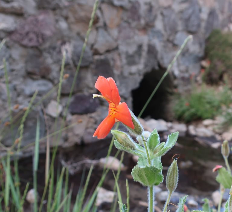
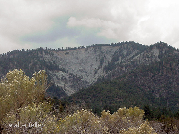
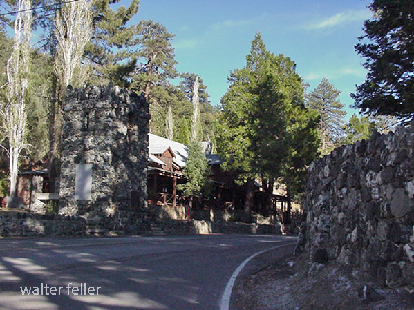
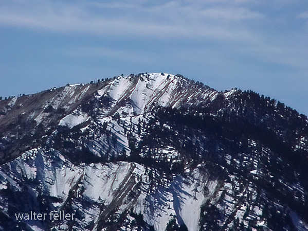
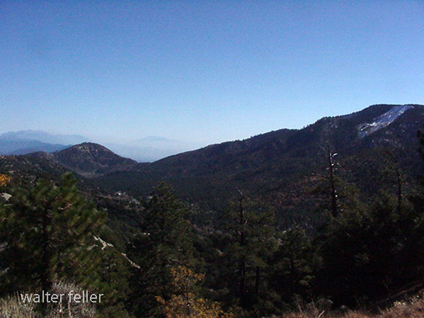
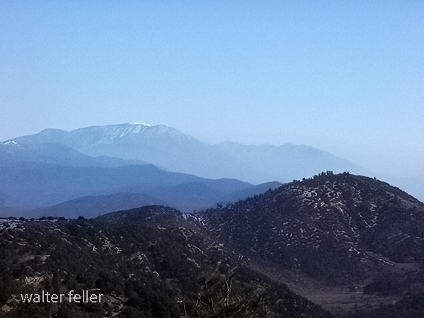
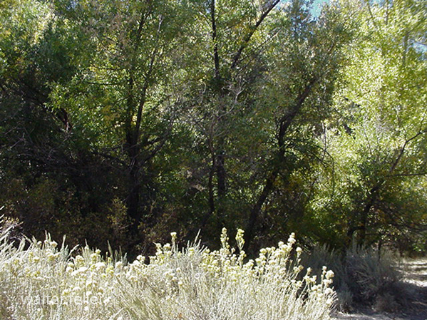
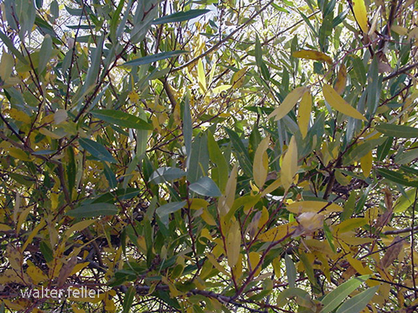
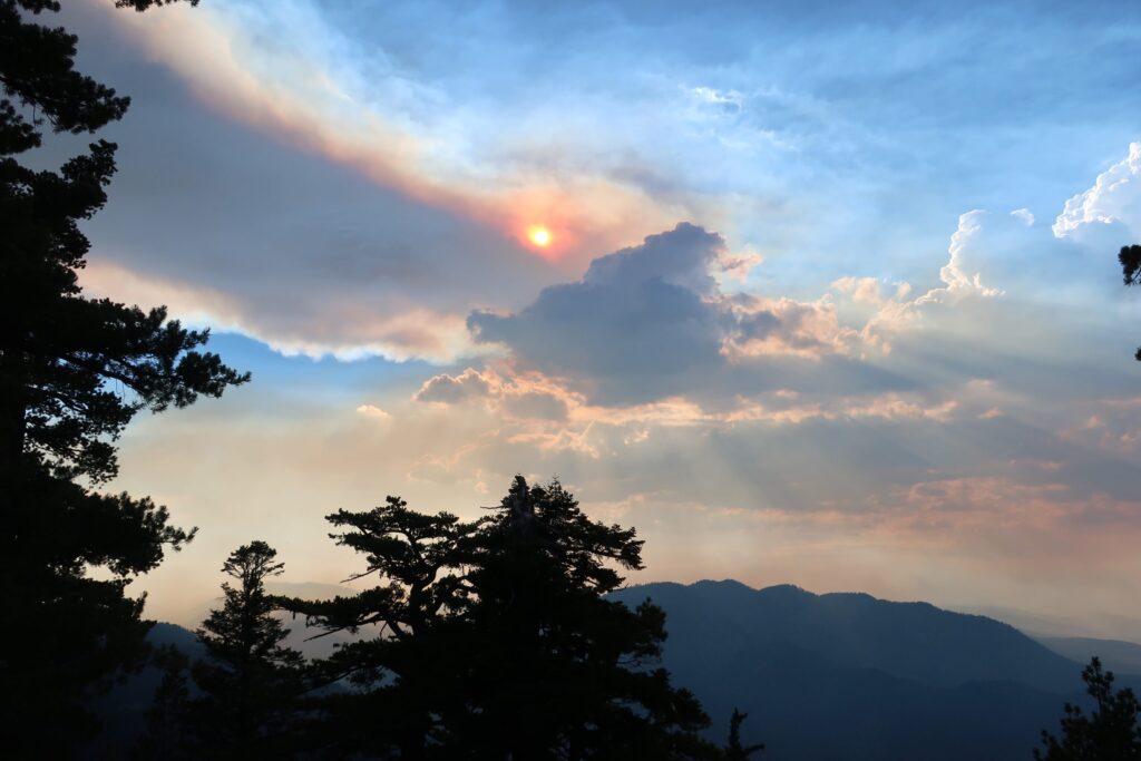
About a mile up the trail, while heading toward Throop Peak, we caught this scene of smoke and cumulus clouds out over San Gabriel Canyon. The Ranch Fire II was still out of control a short distance up Highway 39 near Azusa. Up above 8,000′ , the breeze coming in from the Pacific was cooling, yet tinged with the acrid scent of burning chaparral from miles away. Our light was beginning to fade and we turned back around for the trailhead. While driving back home, we stopped at a spot alongside the highway, where an unnamed stream flowed down the north slope of Mt. Burnham and then under the road. Clusters of Crimson Monkey Flower and Columbine graced the stream bed. Scooping up the icy water and splashing our faces and arms under a darkening summer sky revived us for the twilight drive back.