digital-desert.com › barstow
Barstow Area. Barstow lies in the intersection of the three largest ecosubsections in the Mojave Desert; High Desert Plains & Hills (322Ag), Mojave Valley – …
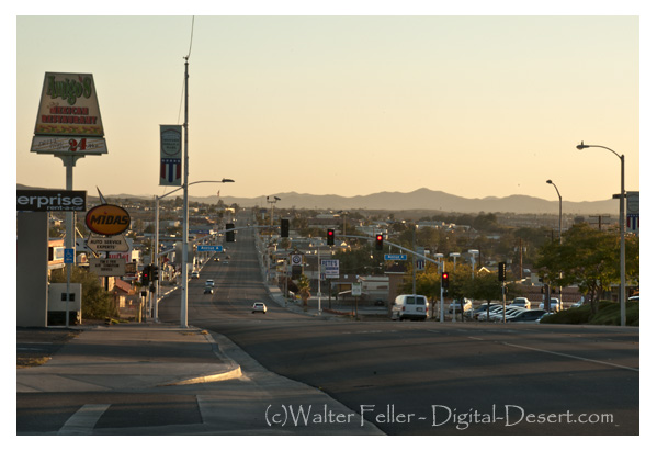
digital-desert.com › barstow-ca
Barstow 1890. Barstow is situated at the junction of the California Southern and the A. &. P. Railway, eighty-two miles from San Bernardino and twelve miles …
Kramer Junction (Four Corners) Mojave High Desert
digital-desert.com › kramer-junction-ca
3) Go west on the State Route 58 through Boron, Mojave or California City and up to Tehachapi and over the Southern Sierra. 4) Go east to Barstow. There is food …
mojavedesert.net › vanyume-indians
Mojave Desert Indians – Map. Vanyume Indians. The Vanyume or Beñemé, as Father Garces called them, lived beyond and along much of the length of the Mojave …
digital-desert.com › casa-del-desierto
Casa del Desierto – Harvey House. Barstow Harvey House and train station photo – Casa del Desierto Casa del Desierto: The Spanish for “House of the Desert” In …
digital-desert.com › blog
Nov 4, 2023 … Today, it remains an essential point of access and commerce for those traveling through the Mojave Desert in Southern California. Post Views: 12.
Goldstone, Barstow California, Mojave Desert
digital-desert.com › goldstone-ghost-town
Goldstone Ghost Town. More of a site than a ghost town, there are only a few scattered foundations and some rubble to be found. The area is now home to NASA’s …
History of Barstow the National Old Trails Road and Route 66
digital-desert.com › barstow-ca › moving-barstow
The Barstow yards are used jointly by the Santa Fe and Union Pacific and handily very considerable volume of the transcontinental traffic. Hence the railroad …
digital-desert.com › barstow-ca › historic-photos
Burton Frasher photos of Barstow, California.