Kramer Junction, Ca.
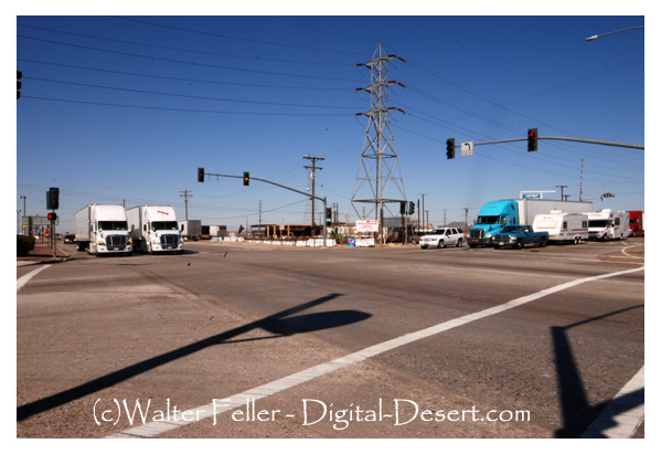
Kramer Junction (also known as "Four Corners") is an unincorporated community in San Bernardino County, California. Kramer Junction is located in the Mojave Desert at the intersection of U.S. Route 395 and State Route 58.
Once you arrive in Kramer Junction you will find the most popular thing to do in Kramer Junction is to leave Kramer Junction. When you leave Kramer Junction you will have four options: 1) Go north on U.S. 395 to Johannesburg, Ridgecrest, Olancha, Lone Pine, Bishop and beyond. 2) Go south through Adelanto and Oak Hills, over the summit and down the Cajon Pass to San Bernardino. 3) Go west on the State Route 58 through Boron, Mojave or California City and up to Tehachapi and over the Southern Sierra. 4) Go east to Barstow.
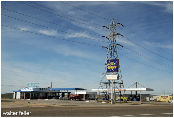
There is food and gas available at the junction. I've had some very good meals at the restaurant there.
Kramer: named in 1882 by the Southern Pacific Railroad for Moritz Kramer, a native of Germany, who had settled in the area in 1879.*
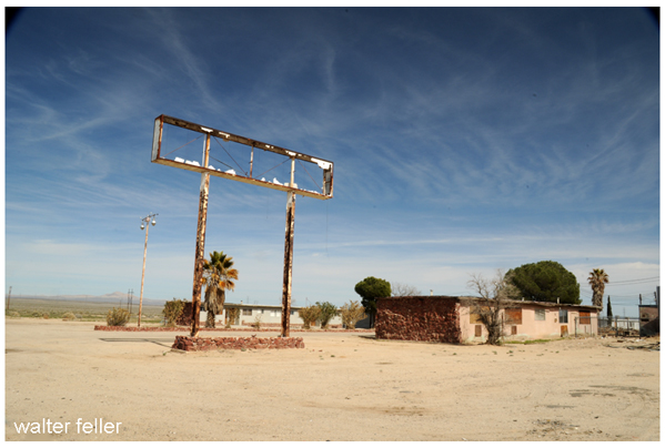
Kramer Cemetery: the cemetery at Kramer Junction. There are two legible markers here: Gallegos, August 6, 1922, and Jos� Lopez, October 24, 1920.*
Kramer Hills (1): a range 28 miles west of Barstow.*
Kramer Hills (2):a mining camp 25 miles west of Barstow and 5 miles southeast of Kramer Junction. In early 1926 brothers Ed and John Herkelrath found pockets of gold about 4 miles south of Jimgrey and a camp and townsite were laid out, including a branch of the county library and a school. The ore turned out to be low-grade and water was scarce here, so by 1931 the boom was over and the site abandoned.*
Kramer Hills Fault: a 16 mile long seismic fault that runs in the Kramer Junction and Boron areas.*
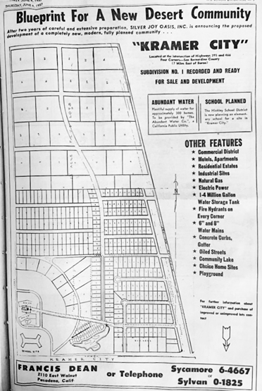
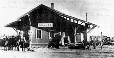
Kramer Junction: a railroad siding 30 miles west of Barstow where the Randsburg railroad intersected with the Santa Fe railroad in 1898. However the name now applies to the intersection of the US 395 and CA 58, a site 2 miles west of the original Kramer Junction. The post office was established on December 20 1896 discontinued August 31 1911, reestablished on May 2 1912 and discontinued again on November 30 1918. The 1960 US Board on geographic names rejected the names Four Corners and Beechers Corners. Also known as Four Corners*
Kramer Mining District: a mining district centered around Kramer Hills that was organized on 20 November 1884.*
Kramer Newspapers: sometime between 1914 and 1921 the Kramer news was distributed in the Kramer area.*
Kramer well: a well at Kramer Junction that was drilled by the Santa Fe Railroad*
* Mojave Desert Dictionary
SR-58 Kramer Junction Expressway
(This bypass project was completed in 2020)The Kramer Junction Gap Project is a nationally significant project and is the final gap in an otherwise uninterrupted 4-lane expressway that begins at US-101 in San Luis Obispo County near the Pacific Coast, traveling east, connecting with Interstate 5 and State Route 99 in the Central Valley, and ending at its junction with Interstate 15 and Interstate 40 in the city of Barstow, California. The Central California region provides half of all produce to the country, generating $10 billion in annual revenue. State Route 58 (SR-58) is the vital goods movement link that connects the Central Valley to the rest of the country. The importance of this route is further enhanced with the $1 billion investment into California SR99 which connects in the central part of the state with SR-58. Average Daily Truck Traffic is over 50%.
The project is located in the County of San Bernardino, north of existing SR-58 and begins at the Kern/San Bernardino County Line and ends 7.5-miles east of United States Highway 395. The proposed project would implement route continuity, increase capacity, reduce congestion, improve traffic safety, provide a grade separation, include multiple animal crossings, and provide new state route access.
Caltrans District 8
Randsburg Railway, Kramer Junction
Kramer District
Kramer