Adelanto, California
Adelanto is a city in San Bernardino County, California about 9 miles northwest of Victorville. The population was 18,130 at the 2000 census. The population as of July 2008 was near 27,500. In 2019 the population was 33,660 according to the U.S. Census Bureau.
The name Adelanto means progress or advance in Spanish, and was first given to the post office that was established on the site in 1917.
Approximate elevation: 2900 ft.
The History of Adelanto
Adelanto was founded in 1915 by E. H. Richardson, the inventor of what became the Hotpoint Electric Iron. He sold his patent and purchased land for $75,000. He had planned to develop one of the first master planned communities in Southern California. Richardson subdivided his land into one-acre plots, which he hoped to sell to veterans with respiratory ailments suffered during World War I. He also hoped to build a respiratory hospital. While Richardson never fully realized his dream, it was his planning that laid the foundation for what is currently the City of Adelanto.
Acre after acre of deciduous fruit trees once grew in the city. Famous throughout the state for fresh fruit and cider, the orchards thrived until the depression, when they were replaced by poultry ranches. As the wartime emergency developed early in 1941, the Victorville Army Air Field was established land within the Adelanto sphere of influence. In September 1950, It was named George Air Force Base in honor of the late Brigadier General Harold H. George. Adelanto continued as a "community services district" until 1970, when the city incorporated, and Adelanto became San Bernardino County's smallest city. The city became a charter city in November 1992.
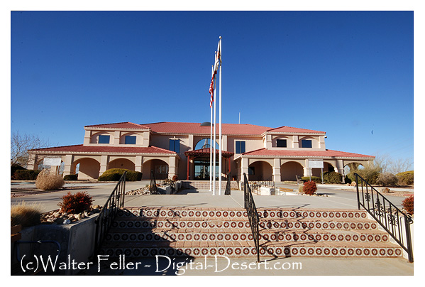
City of Adelanto
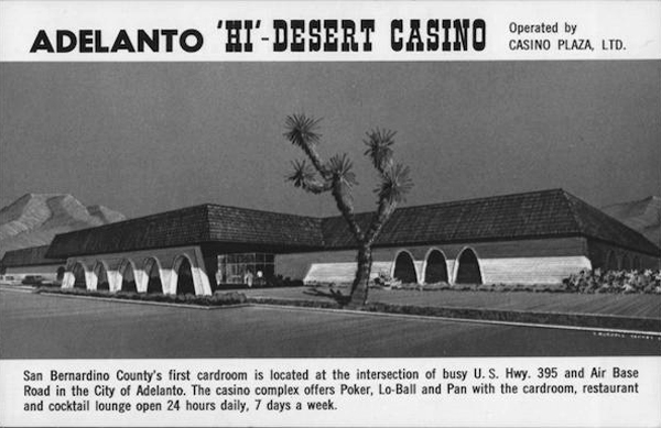
Adelanto Casino
The Hi-Desert Casino in Adelanto, California, was open from 1975 to 1997 as a hub of entertainment and community in San Bernardino County. The structure at Air Expressway and U.S. Highway 395 had a card room, restaurant, and bar and was frequented by tourists from across the region. Declining from industry shifts, it shut down in 1997 and was demolished in 2007. In 2023, Adelanto legalized card clubs again, demonstrating attempts to restore neighborhood gaming. Today, High Desert Bingo carries on this social gaming tradition.
Adelanto Weather
Romantic Heritage of Victor Valley

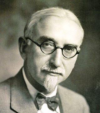
E.H. Richardson
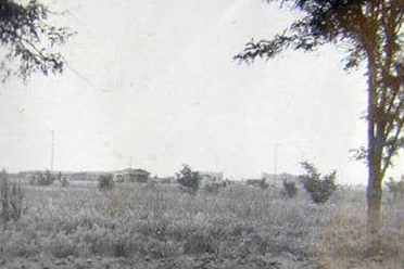
Adelanto - May 1926
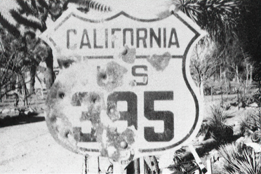
U.S. 395 - circ 1929 - courtesy J. Swisher