LIST OF ILLUSTRATIONS –
Mojave Administrative History; NPS – Eric Nystrom

Illustration 1 – Joshua tree and buckhorn cholla

Illustration 2 – Prehistoric petroglyphs at Indian Well

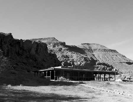
Illustration 3 – The 7IL Ranch

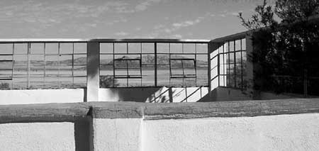
Illustration 4 – Stone walls of 1880s-era Providence

Illustration 5 – U.S. Highway 66, Essex, California

Illustration 6 – High-tension power wires and associated infrastructure

Illustration 7 – Visitor’s center for Providence Mountains State Recreation Area

Illustration 8 – Zzyzx

Illustration 9 – Four-wheel drive vehicles traveling the Mojave Road

Illustration 10 – Painted sign opposing S.21

Illustration 11 – Cross on Sunrise Rock

Illustration 12 – Solar panels at Hole-in-the-Wall

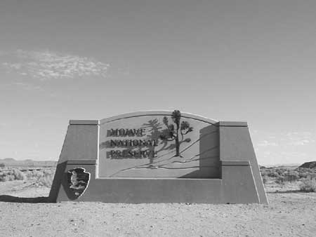
Illustration 13 – Mojave National Preserve entrance monument

Illustration 14 – Official logo of Mojave National Preserve

Illustration 15 – Buildings at the New Trail Mine

Illustration 16 – Graffiti on Kelbaker Road

Illustration 17 – The Union Pacific Railroad

Illustration 18 – Kelso Depot

Illustration 19 – NPS visitors’ center at Hole-in-the-Wall

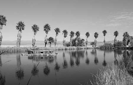
Illustration 20 – Lake Tuendae at Zzyzx

Illustration 21 – Desert cattle

Illustration 22 – Rock walls of the military outpost at Piute Creek

Illustration 23 – The Rock Springs Land & Cattle Company trough and corral

Illustration 24 – Headframe of the Evening Star Mine

Illustration 25 – Morning Star Mine
—