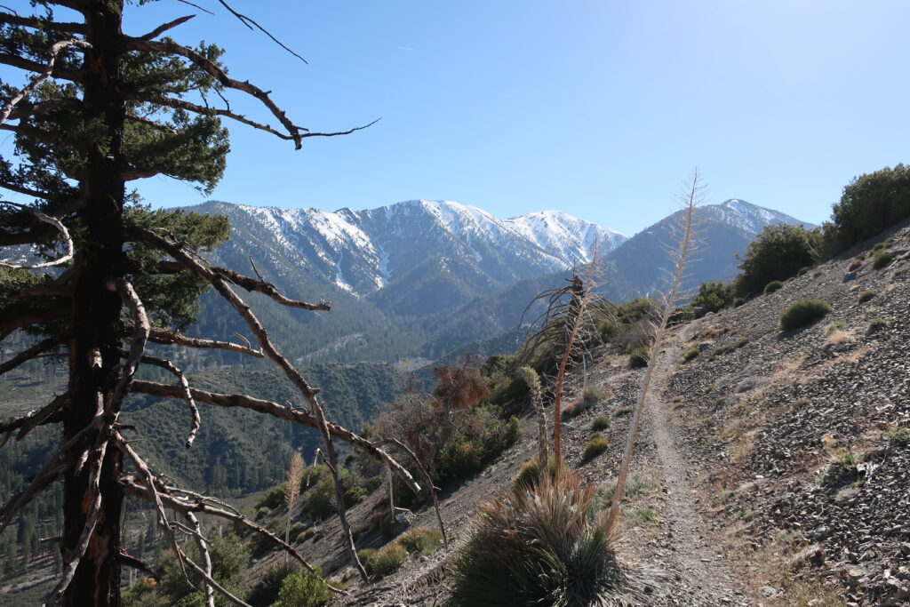
Mt. Baldy and Dawson Peak as seen from the PCT. This view is looking across upper Lytle Creek and still some miles below East Blue Ridge.
Vincent Gap trailhead is once, again, open to vehicles coming in through Wrightwood. Highway 2 continues to be gated to any driving west of the trailhead. If you’re looking to hike up to Mt. Baden Powell or drop down into the East Fork, all this is possible now and through the summer and autumn months.
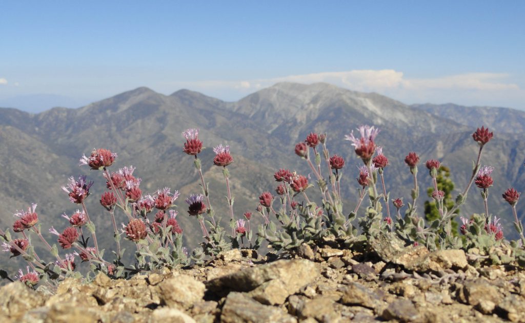
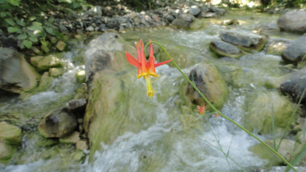
Looking out across the East Fork of the San Gabriel River to Pine Mountain, Dawson Peak and Mt. Baldy. This view is from a spur ridge just below summit of Mt. Baden-Powell. A native Columbine graces the East Fork just downstream from Mine Gulch Campsite .
Late winter through spring is a really good time to hike up to Mt. Wilson. Even as Chantry Flat in the Big Santa Anita Canyon continues to heal from the Bobcat Fire of 2020, don’t feel like there’s no good way up to Mt. Wilson. If you’ve never done it, hiking up the Old Mount Wilson Trail from scenic Sierra Madre, is not a bad way to go. The canyon you’ll travel through on your way up toward Manzanita Ridge is known as the Little Santa Anita Canyon. This is the original way up to “Wilson’s Peak”, named after Don Benito Wilson. The trail dates back to the 1860’s
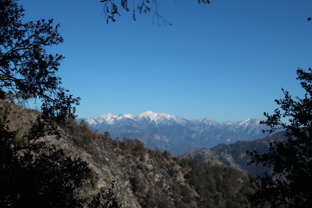
A view of Mt. Baldy from Manzanita Ridge.
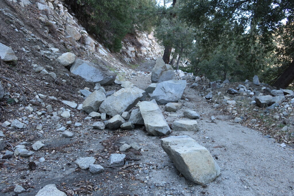
Manzanita Ridge, sections of it quite true to its’ name, makes up the watershed divide between the Winter Creek (to the north) and Little Santa Anita Canyon on the south. Following the ridge line up toward the Old Mount Wilson Toll Road, views out into the High Country of the San Gabriels abound. Once up on the Toll Road, you’ll continue to walk along refrigerator-sized boulders that have dropped off the near vertical slopes of Mt. Harvard.
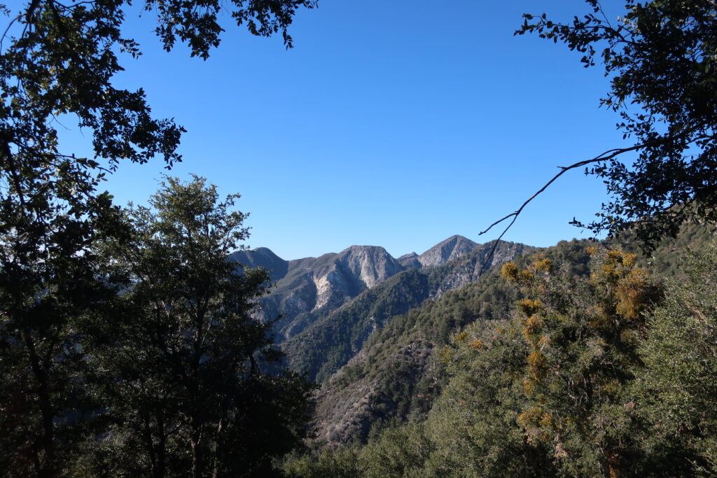
Once you reach Martin’s Saddle, the site of a once popular trail resort of the late 19th Century, views out toward the west are to be had. You’re now contouring the slopes of Upper Eaton Canyon, a beautifully rugged wilderness in its’ own right. Looking out across the steep and deep tributary canyons, there is from left to right, Mt. Lowe, Mt. Markham (flat-topped) and San Gabriel Peak. When the air is clear, this scene is spectacular.
Boulders accumulate on the Mt. Wilson Toll Road in the aftermath of winter storms. A view across Upper Eaton Canyon
Once up at the top, I found a picnic bench in the open air pavilion and soaked in the sunlight for sometime before heading back down. The Pacific reflected back at me like an amber platter just to the north of the Palos Verdes peninsula. What a beautiful place to be hiking. what a beautiful place to be alive.