Owens Valley
Natural Setting
Tucked between the Sierra Nevada and Inyo Mountains, Owens Valley is more than just a scenic stretch of Eastern Californiaits a place shaped by deep roots and dramatic change. Long before settlers arrived, the Paiute people called this land home, managing its resources with care. Later came miners, ranchers, and a fierce fight over water that changed the valley forever. The landscape also holds memories of World War II, when Japanese Americans were confined at Manzanar. Through boom, bust, and controversy, Owens Valley has endured. Its story is one of survival, conflict, and the ongoing push to protect what remains.Alabama Hills
Big Pine
Bishop
Bristlecone Pine Forest
Cartago
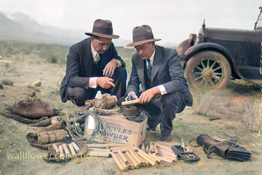
Cerro Gordo
Cottonwood Charcoal Kilns
Darwin
Dirty Sock Springs
Dolomite
Fossil Falls
Fossil Falls
Independence
Keeler
Keeler Cemetery
Keeler Smelter
Little Lake
Lone Pine, Ca.
Olancha Dunes
Owens Lake
Swansea
Owens Valley History
Owens Lake Steamers
CulturalOwens Valley Paiute
The Owens Valley Paiute belong to an extensive group known generically as the Northern Paiute (in western Nevada as the Paviotso), which extends through ...Ecological
Owens Valley
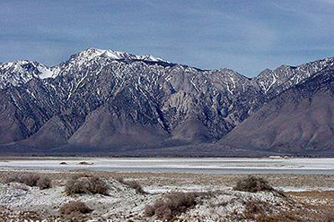
Inyo Mountains
Coso & Argus Ranges
Transportation
Highway 395
Highway 190
Trip Guides
For the Eastern Sierra and Death Valley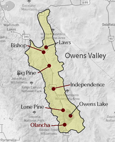
History