Mojave Desert Geology
Geology is the study of the history of the physical development of the earth's structure, content, and life by applying the natural sciences to the physical formations found inside and on the planet's surface.Mojave geology is the topology, terrain, landforms, and features that make up the stage on which the desert drama unfolds. It is determined by the size, shape, and location of things, as well as the sparse nature of other necessities for living and sustaining health. -w
Natural Features & Formations
Geologically, a formation is a natural body of earth, such as an outcrop or deposit with distinctive and characteristic properties allowing ...Introduction to Desert Geology
Since the Precambrian Era, the Mojave Desert has experienced many different phases over almost incomprehensible ...Rock Classification
How rocks are classified ...Rocks, Minerals, Crystals & Ores
A tour of a few ore houses ...Land Formation & Erosion
Discussions of landform development applicable to the desert in general as well as the Mojave National Preserve. ...Mesozoic Rocks
Ancestral Mojave River
Map and photo model of the Mojave River and lake system as it appears (and may have appeared) in prehistoric times before the arrival of man.Desert Water Sources
Rivers, creeks, springs & waterholesEast Mojave Desert
Mojave Preserve Geology
Summaries of the geologic formations found in the Mojave National PreserveMitchell Caverns Geology
The formation of the Mitchell Caverns in the Providence Mountains ...Death Valley
Death Valley Regional Geology
Regional geology field trip guide. ...Death Valley Geology Features
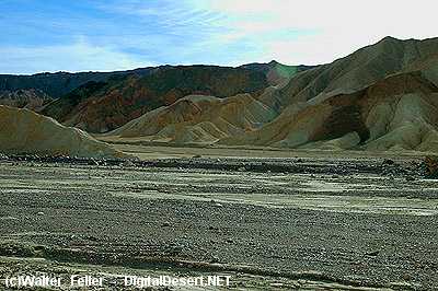
The landscape is so varied and extreme, one cannot help to wonder what events have taken place to create such an ...Golden Canyon Geology
Death Valley's Golden Canyon preserves geologic stories steeped in change. Like pages in a book, its rocks tell tales of ancient times when a ...Alluvial Fans
Rising almost halfway up the steep mountain front of the Panamints are great aprons of rocky debris that spread out toward ...Walk Through Time
The sample rocks in this tour are only "some" of the major geologic formations in the Death Valley area. Displayed in order from oldest to youngest, they show evidence of the ...Joshua Tree National Park:
Geology of Joshua Tree NP
Arch Rock Geology
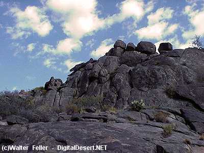
Geologists study the origin, history, and structure of the Earth and have been coming to this area for a long time wondering about these ...Rockpiles & Intrusions
Geologists believe the face of our modern landscape was born more than 100 million years ago. Molten liquid, heated by the continuous movement of the ...Geology Tour Road
The face of the earth at any time represents only a fleeting moment in a very long history. Major changes are going on all around ...Other Places:
Cajon Pass
Mono Lake
For the last three to four million years the whole basin has been tilting westward and sinking while ...Red Rock Canyon NCA, Las Vegas, NV.
For much of the past 600 million years, the land that is now Red Rock Canyon NCA was the bottom of a deep ocean basin and the ...Red Rock Canyon, California State Park
Layers of red and white sediments, creating the accordion-like folds in the cliff faces, are capped with a harder, more resistant ...Vasquez Rocks
Compressed, folded and tilted as much as 50 degrees, and up to nearly 150 feet high, erosion gradually ...Yosemite Geology
Yosemite is a glaciated landscape, and the scenery that resulted from the interaction of the glaciers and the underlying rocks was ...Geology of the Grand Canyon
The exposed geologic strata - layer upon layer from the basement Vishnu schist to the capping Kaibab limestone - rise over a mile above ...Zion National Park Geology
The rock layers have been uplifted, tilted, and eroded, forming a feature called the Grand Staircase, a series of colorful ...Blackhawk Landslide
Spreading two miles wide and five miles long the totality of the event lasted ...Hercules Finger
A 60 foot tall granite monolith on the southern end of the Ord Mountains in the ...Geomorphic Provinces
California's geomorphic provinces are naturally defined geologic regions that ...Earthquakes & Faults
-
San Andreas Fault
Summary of the earthquake fault shaping the southern boundary of the Mojave Desert.
-
Garlock Fault
The Garlock Fault is the defining fault between the Mojave Desert and
Volcanic Fields
Information on volcanic fields from Mono Lake south to Lavic Lake in the Mojave Desert.Paleontology
The scientific study of prehistoric plants and animals in their geologic context.
Alluvial material in dry wash

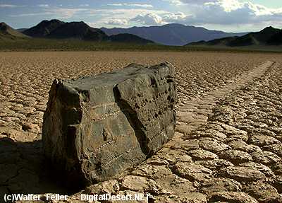
Dry Lake - Playa

Desert Varnish
