Geology of Mono Lake
 Mono Lake's modern landscape has been shaped over millions of years by faulting and volcanic activity.
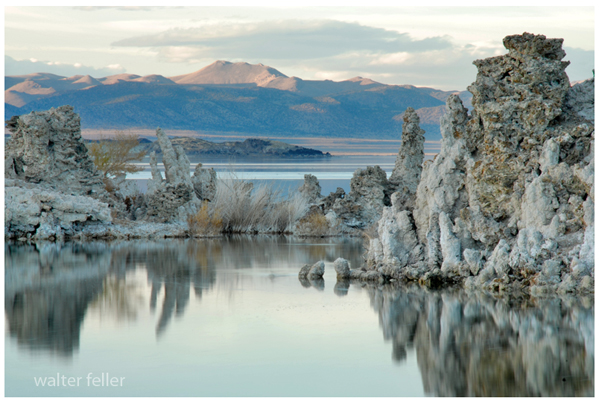
For the last three to four million years the whole basin has been tilting westward and sinking while the Sierra has been rising. This ongoing process has created the majestic contrast of a desert lake bordered by high mountain peaks. As the western floor of the Mono Basin slipped downwards its southern and northern margins tilted slowly towards its center, forming a bathtub like basin that filled with water to form Mono Lake.
About 12,000 years ago, following the peak of the last great ice advance, the Mono Basin filled and even overflowed for a short time. This Ice Age lake covered 338 square miles and reached a depth of about 900 feet, five times higher than the modern lake.
You can see evidence of Mono's Ice Age glaciers in the morainal embankments at the mouths of Bloody Canyon and Lee Vining Canyon.
The Mono Basin's long history of vulcanism is evident in the hills that mark the north and east boundaries of the basin -- hills that date back some 11 million years. To the south lie Mono Craters, the youngest mountain range in North America. Panum Crater, the northernmost of these craters, erupted only 600 years ago. Panum is easily reached from Highway 120, three miles east of Highway 395.
Mono's islands are also volcanic. Paoha Island is thought to be only about 200 years old. Hot springs and steam vents in the basin show that volcanic activity is still present.
Black Point on the north shore of Mono Lake is the result of a volcanic eruption that began beneath the lake about 13,000 years ago. At that time the lake level was still rising toward its post Ice Age high point, but the lake was already some 400 feet deeper than it is today. As the top of Black Point cooled and contracted, narrow cracks or fissures formed on the summit -- some of them only a few feet wide but as much as fifty feet deep. Some of these fissures can be explored today. Look for tufa that formed in the cracks when the top of Black Point was still under Mono Lake.