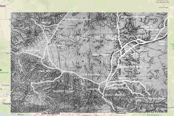
Historic roads and trails of the Mojave Desert
Spanish Canyon - Old Spanish Trail
Historic roads and trails are routes used long enoughand by enough peoplethat they gain historical importance. In the Mojave Desert, that importance usually comes from one of four jobs the land demanded: finding water, moving trade, moving mail, or moving people. Long before paved highways, the deserts travel system was built from footpaths, pack routes, wagon roads, and later auto roads that followed the same old logic: springs, river crossings, passes, and reliable camps.
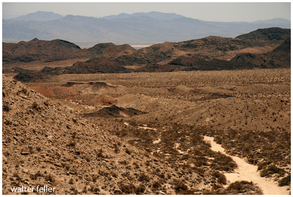
Some of the best-known corridors still tell that story plainly. The Mojave Road runs roughly 138 miles from the Colorado River westward toward the Mojave River. First used by Native travelers and later by Spanish-era and American-era movement, it remains one of the clearest desert corridor routeshard, direct, and water-governed. Route 66 (the Mother Road) represents a later layer: not a survival trail, but a mass-mobility highway that carried migration, commerce, and roadside culture across the desert. The Old Spanish Trail belongs to an earlier trade world, linking New Mexico and the interior Southwest to Southern California through a chain of difficult segments and dependable watering places.
Together these routes form a readable timeline in the landscape: Indigenous path networks ? Spanish/Mexican pack and trade routes ? American wagon and military roads ? toll roads and county roads ? state highways and scenic drives. Exploring themon foot, by car, or through maps and recordslets modern travelers see the Mojave the old way: as a place where distance is normal, water is king, and the corridor decides the story.
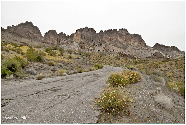
Union Pass, Arizona