Digital-Desert : Mojave Desert
Intro:: Nature:: Geography & Maps:: Parks & Preserves:: Points of Interest:: Ghosts & Gold:: Communities:: Roads & Trails:: People & History:: Essays:: Weather:: :?:: glossary

Wilderness - MAP
El Paso Mountains >> Map #43

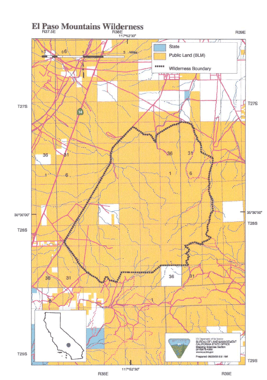
El Paso Mountains Wilderness

SIZE: 23,780 acres

LOCATION: Kern County; 6 miles southwest of Ridgecrest, California

ACCESS: Access this wilderness via State Highway 14 north of Red Rock Canyon State Park and along Red Rock-Inyokern Road along the west; Hart Road (EP155 - four wheel drive only) along the south; and from the east via U.S. Highway 395 south of Inyokern, along EP18 to Sheep Springs Road (EP26 - four wheel drive recommended). Visitors should check road conditions before driving to the area.


Intro:: Nature:: Geography & Maps:: Parks & Preserves:: Points of Interest:: Ghosts & Gold:: Communities:: Roads & Trails:: People & History:: Essays:: Weather:: :?:: glossary
Digital-Desert : Mojave Desert
Country Life Realty
Wrightwood, Ca.
Mountain Hardware
Wrightwood, Ca.
Canyon Cartography
G.A. Mercantile


Grizzly Cafe
Family Dining


Abraxas Engineering
privacy

Disclaimer: Some portions of this project were developed with assistance from AI tools to help reconstruct historical contexts and fill informational gaps. All materials have been reviewed and fact-checked to ensure accuracy and reliability, though complete precision cannot be guaranteed. The aim is to provide dependable starting points and distinctive perspectives for further study, exploration, and research.

These materials are historical in nature and intended for educational use only; they are not designed as travel guides or planning resources.
Copyright - Walter Feller. 1995-2025. All rights reserved.