Mormon Rocks
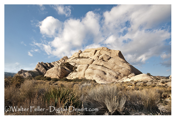
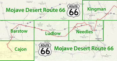
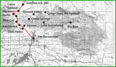
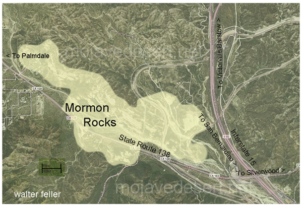
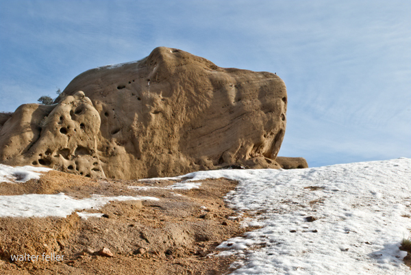
Mormon Rocks located about 1 mile west of the Interstate 15 freeway north of Highway 138 is recognizable to nearly everyone who has ever traveled the freeway from the Cajon Pass to Las Vegas. These familiar formations appear to welcome travelers to the Mojave Desert.
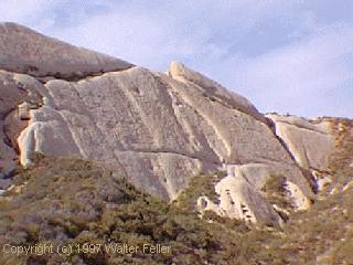
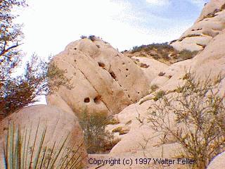
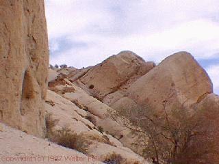
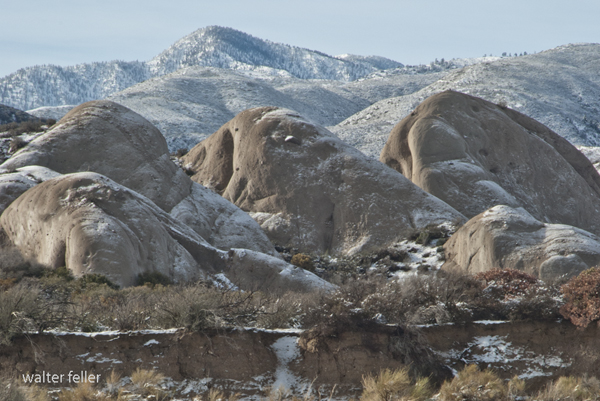
Mormon Rocks, also known as the Rock Candy Mountains, are a prominent geological feature in the Cajon Pass in San Bernardino County, California. These striking sandstone formations are characterized by their massive, jutting structures and deeply eroded grooves and cavities, which have been sculpted over millions of years by wind and water erosion.
The rocks are part of the San Gabriel Mountains and were named after the Mormon pioneers who passed through the area in the 1850s on their way to establish a new settlement in San Bernardino. The formations are part of the larger Transverse Ranges, which are shaped by the San Andreas and related fault systems.
Mormon Rocks are popular with visitors for sightseeing, photography, and hiking. The area features a variety of trails that offer close-up views of the unique rock formations and the surrounding landscape. The region's geological significance, combined with its historical connections and natural beauty, makes it a fascinating destination for both geologists and tourists. The interpretive center near the rocks provides educational information about the geological history and the flora and fauna of the region.
The sandstone was pushed up by a sub-fault of the San Andreas fault and further revealed by the Mojave Block changing direction in slope toward Death Valley rather than the ocean.
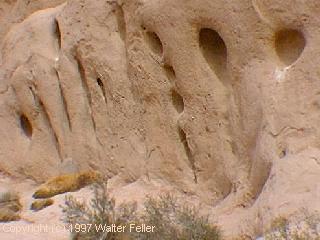
Older maps of the area show the formation as being called the Rock Candy Mountains. Local legend has it that the rocks were named for the Mormon pioneers who camped here after their descent from the pass ridgeline. Another legend calls the rocks the 'Chanting Rocks,' as when the wind would blow across the portholes in the rocks it was said the sound made was similar to a low chanting or singing.
Since the color and composition appear to be the same as the rocks at the Devil's Punchbowl, 35 miles to the west, it has been suggested that both were once the same and that with movement along the San Andreas these two formations were split apart. Scientific examination of fossils found between the two show that they are two separate formations.
Mormon Rocks Interpretive Trail
Beginning elevation is 3360 feet. This 1-mile loop trail was built by the Forest Service fire engine crew in 1975. It provides visitors with the chance to hike to a ridge to gain great views of the Mormon Rocks. These striking sandstone formations are riddled with small holes and caves; home of the owl, lizard, and pack rat. In the cliffs watch for White-throated Swifts, hawks, and ravens. In the chaparral look for coast horned lizards, California Thrashers, and Western Kingbirds. All along the trail there are excellent views of the Mormon Rocks and Cajon Pass area. An interpretive brochure may be available at the trailhead, or is also obtainable at the Lytle Creek Ranger Station or at this link. The trail begins at the Mormon Rocks fire station located on Highway 138 just west of Interstate 15. The historic Mormon Trail of the previous century passed through this valley of geological curiosity.USFS Brochure