Devil's Punchbowl
The Devil's Punchbowl: A Geological Marvel of Los Angeles County
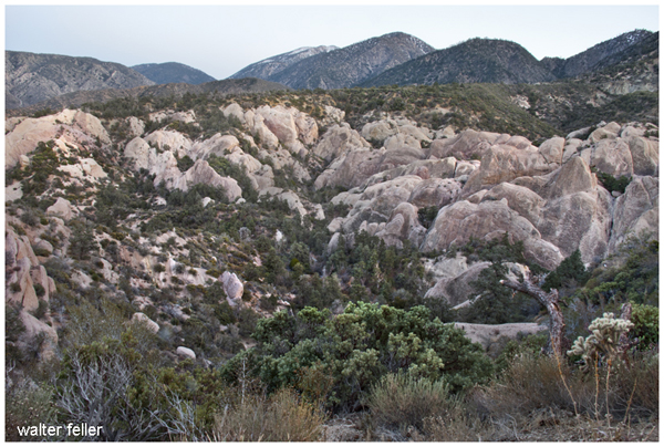
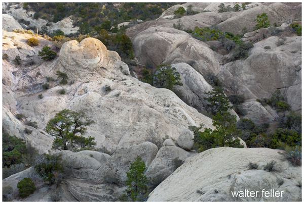
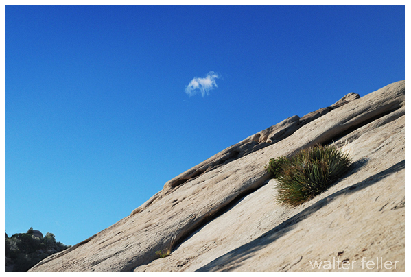
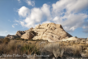
Located in Angeles National Forest, at an elevation of 4,750 feet above sea level, Devil's Punchbowl has some of the most colorfully painted rock strata in Los Angeles County. This county park is located on the northern slopes of the San Gabriel Mountains and contains a dramatically contorted mix of sandstone, conglomerate, and shale strata that have been warped by the Punchbowl and the San Andreas Faults. The unusual geology and scenic setting attract not only hikers but also those interested in geology and nature in general.
Geological Importance
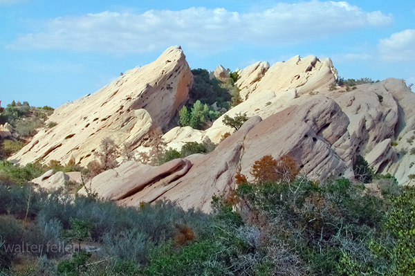
The Devil's Punchbowl rock units are considered the Punchbowl Formation and consist of roughly 5,000 feet of light gray sandstone, conglomerate, and thin shale strata. These rocks represent the weathering of granite from the Mojave Block and were deposited in what had been a flat basin to the south of the Mojave Block. With the passage of millions of years, these layers were titled and uplifted by fault movements that resulted in the dramatic landscape of today.Such geological formation resembles that of Mormon Rocks in Cajon Pass, which was dated into the Miocene era, or about between 7 and 25 million years. However, from the top part of the upper Miocene to the lower Pliocene, the fossils found within the Punchbowl Formation indicate a younger age, which is about 5 to 10 million years. There has been considerable speculation that the formations were once beside each other but were separated by fault activity. However, complications in the San Andreas and Punchbowl Faults make reconstruction difficult.
Trails and Access
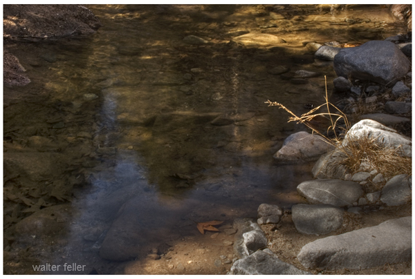
It has a number of trails, from casual walking for visitors to serious hiking. For those hikers who want a short hike, the Devil's Punchbowl Loop Trail is very popular and offers fascinating geological features of this area. Longer hikes allow more adventurous hikers to reach higher elevations of the San Gabriel Mountains and include the Burkhart and Punchbowl Trails as part of the High Desert National Recreation Trail system.The park is an ecosystem of 1,310 acres in itself, and the visitor can view a topography that has everything from the tilted formations of rock to the picturesque Joshua trees, California junipers, and Pinyon Pine Woodland. The drainage system from the park flows into Sandrock Creek and other tributaries of Big Rock Creek, which disappear in the Mojave Desert.
Nature and Wildlife
Besides its geological charm, the Devil's Punchbowl acts as a host to an array of wildlife. Here, a visitor can see different kinds of birds, reptiles, and mammals making their dwellings upon the rough landscape. For educational exposition on the native wildlife, history, and the geological forces that molded this landscape, the Nature Center within the park will be useful.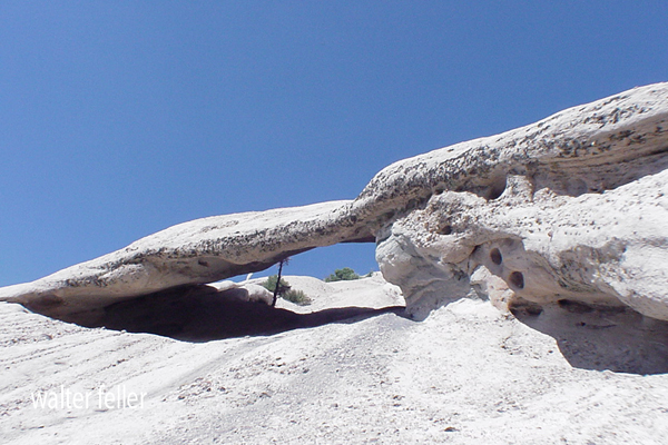
Planning Your Visit
Getting to the Devil's Punchbowl is comparably easy. By car, visitors drive from State Route 138 at Pearblossom, then south on Longview Road, N-6, to the Devil's Punchbowl Road. The park is open all the time, although the best months to go are between October and June, as the weather condition is somewhat more congenial for hiking. For the trail-in visitor, the Burkhart Trail comes in from the southwest and the Punchbowl Trail from the east at South Fork Campground.As of August 1, 1999, there are no fees to park here, so this is an accessible spot for those thrifty folks looking for some outdoor adventure.
A Hiker's Paradise
Anyone who has gone hiking through the Devil's Punchbowl will likely remember it. With the general landscape a mixture of uptilted rock features joined by scenic trails, visiting this nature preserve allows one to have an unforgettable outdoor experience. Be it a small and short trail or one of the longer trails that winds into the high country, the mix of geological history with natural beauty makes Punchbowl worth visiting.It would be a real showstopper, whether for the amateur geologist who might appreciate forces that molded such a landscape or simply for the hiker in search of something different.
By Trail: The Burkhart Trail comes in from Burkhart Saddle to the southwest. The Punchbowl Trail comes in from South Fork Campground to the east. These trails are parts of the High Desert National Recreation Trail system. Inside the park itself are other shorter trails like the Devil's Punchbowl Loop Trail.
Season: October to June
T.Chester, J. Strong
~ L.A. County
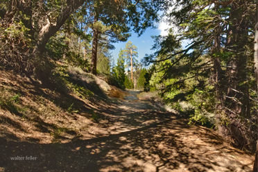
Burkhart Trail
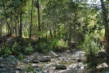
Big Rock Creek
Mormon Rocks
Big Rock Creek
Mormon Rocks
Mojave Block Cajon Pass, San Andreas SR-138 Pearblossom,