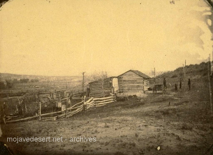
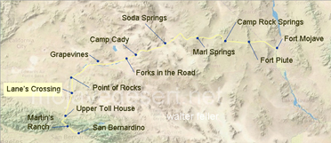
photos by Rudolph D'Heureuse
Lane's Crossing

Previous - Next
Lane's Crossing
In 1863, crossing the Mojave River marked a passage of great consequence across the Mojave Desert. It was difficult to travel in the desert in those days: dry, hot, and quite literally in the middle of nowhere. The major Mojave River was one of the few sources of water, so this crossing was a real lifeline for many folks who were on long journeys.It was named after Aaron Lane, a settler who set up a nearby ranch. His ranch became a sort of desert stopover for travelers. Imagine being out in the blazing sun, with nothing but sand and rocks all around, and suddenly, you come upon a place where you can get water, perhaps buy a little food, and rest for a bit. That's what Lane's ranch offered.
Any traveler who passed here in 1863 would have heartily welcomed Lane's Mojave River Crossing. That wasn't only a crossing point over the river but a chance to catch one's breath and be better equipped for the next stretch across the brutal desert.
