--
Antelope Valley
The valley was named for the graceful animals that are said to have roamed there until being eliminated by hunters and bad weather in the 1880s. The principal cities in the Antelope Valley are Palmdale and Lancaster.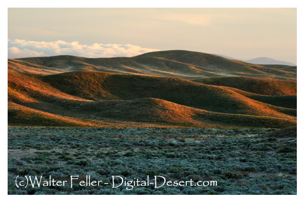
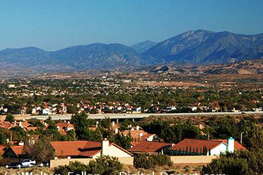
The Antelope Valley, nestled between the San Gabriel and Tehachapi Mountains, marks the western edge of the Mojave Desert. It spans about 3,000 square miles, stretching across northern Los Angeles and southeastern Kern Counties. Today, cities like Palmdale, Lancaster, Mojave, and Rosamond are its hubs, but people have lived and traveled through this valley for thousands of yearstraders, hunters, and eventually settlers.
Long before it became known for aerospace, this valley was named for the antelope that once roamed freely until overhunting and harsh weather wiped them out by the 1880s. Native people had used this route for trade between the Southwest and Californias coast. Spanish explorers first arrived in the 1770s, but permanent non-native settlement took off in the 1850s, after California joined the U.S.
Key milestones came quickly: gold mining nearby, cattle ranching, and the Butterfield stage route in 1858. A telegraph line followed in 1860, then the railroad in 1876. Early farming boomed thanks to generous rainfalluntil a crushing drought in the 1890s forced many off their land. Still, irrigation and electricity revived agriculture by the early 1900s. The 1913 Owens Valley Aqueduct helped too, feeding the growth of both Los Angeles and the Antelope Valley.
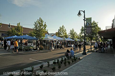
Today, though farming still lingers, the valleys economy runs on aerospace and defense, with wide skies and open land perfect for high-tech flight and testing.
Timeline
c. 9000 BCE Native peoples begin using the valley as a trade and travel route. 1770s Spanish explorers arrive, marking first non-native contact.1840s American settlers reach the area after U.S. annexation.
1854 Fort Tejon is established, improving access through Grapevine Canyon.
1858 Butterfield Overland Mail crosses the valley.
1860 Telegraph line links Los Angeles to San Francisco via the valley.
1876 Southern Pacific Railroad connects the valley to the state network.
1880s1890s Wet years spark a wave of farming and homesteading.
1880s Antelope herds disappear due to hunting and weather.
1894 A decade-long drought forces many off their land.
Early 1900s Irrigation and electricity revive agriculture.
1913 Owens Valley Aqueduct brings more water to the region.
Mid-1900s Aerospace and defense industries transform the economy.
Today A mix of high-tech industry and lingering agriculture defines the valley.
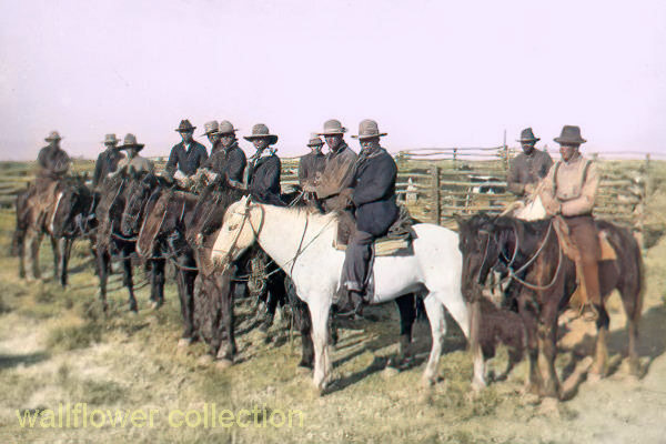
Cowboys at H.J. Butterworth Corral, c.1905-1910 - City of Lancaster Museum
Antelope Valley Map
Historical Setting
Communities
Lake Los Angeles
Lancaster
Palmdale
Rosamond
Mojave
Neenach
Elizabeth Lake
Willow Springs
Littlerock
Pearblossom
Llano
Boron
California City
Points of Interest
Geography
Flora and Fauna
The Last Antelope
Lancaster
Palmdale