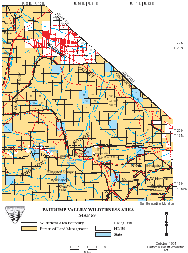
Pahrump Valley >> Map #59
Pahrump Valley Wilderness
SIZE: 74,800 acres
LOCATION: San Bernardino and Inyo Counties; 25 miles east of Tecopa, California
NATURAL RESOURCES: Alluvial fans in California, Pahrump and Mesquite Valleys ascend southward into the Kingston Range. The range is rugged, with many canyons, bajadas and winding washes. Elevations range from 2,720 feet to a 4,569-foot summit. The California, Mesquite and Pahrump Valleys, for which the area is named, are dotted with desert shrubs. Several plant species dependent upon limestone soils grow in the area, as well as unusual yucca species. Desert tortoise, golden eagles and desert bighorn sheep have been seen here.
| GLOSSARY | > alluvial fan, bajada, canyon, limestone, wash |
ACCESS: Access this wilderness via the Excelsior Mine Road from Interstate 15, or the Old Spanish Trail Highway.
