Digital-Desert :
Mojave Desert
|
Intro:: Nature:: Map:: Parks:: Points of Interest:: Ghosts & Gold:: Communities:: Roads & Trails:: People & History:: BLOG:: Weather:: :?:: glossary |
-- |
Topock Gorge:
1 -
2 -
3 -
4
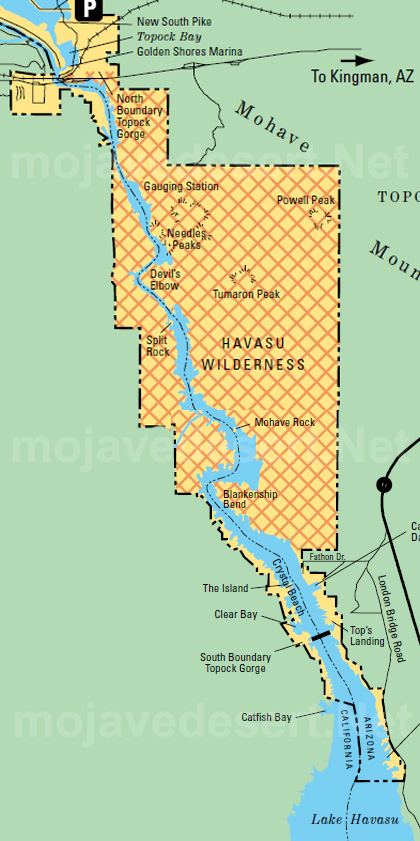
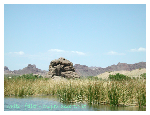
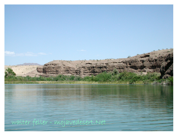
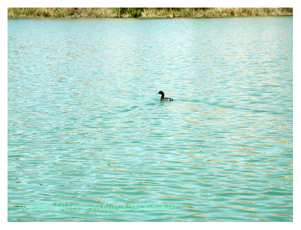
Topock Gorge photo gallery 4Blankenship Bend, Crystal Beach areaPart 4: Exiting the Gorge and Approaching Lake Havasu 
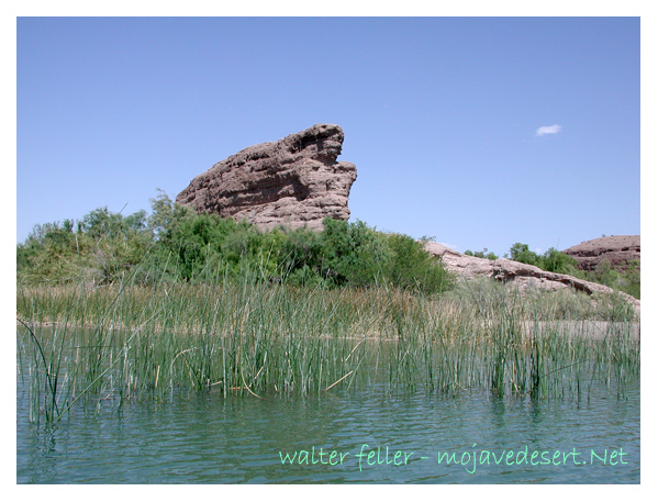
As the cliffs begin to retreat, the river starts to widen again. You’ll pass small sandy islands and eventually enter the northern reaches of Lake Havasu. This area is still scenic, but more open, with views expanding toward the distant mountains. The current slows, boat traffic might increase, and you’ll spot more signs of recreation—houseboats, anglers, maybe even jet skiers. It’s the final stretch, bringing the quiet drama of the gorge to a smooth close. ![]() ![]() ![]() ![]() Topock Gorge: 1 - 2 - 3 - 4 |
![]() |
Intro:: Nature:: Map:: Parks:: Points of Interest:: Ghosts & Gold:: Communities:: Roads & Trails:: People & History:: BLOG:: Weather:: :?:: glossary |
Digital-Desert :
Mojave Desert
|
Country Life Realty Wrightwood, Ca. |
Mountain Hardware Wrightwood, Ca. |
Canyon Cartography |
G.A. Mercantile |
Grizzly Cafe Family Dining |
Abraxas Engineering privacy |
These items are historical in scope and are intended for educational purposes only; they are not meant as an aid for travel planning. Copyright ©Walter Feller. 1995-2025 - All rights reserved. |