Digital-Desert : Mojave Desert
Intro:: Nature:: Map:: Parks:: Points of Interest:: Ghosts & Gold:: Communities:: Roads & Trails:: People & History:: BLOG:: Weather:: :?:: glossary

--
Topock Gorge: 1 - 2 - 3 - 4

Topock Gorge photo gallery 1
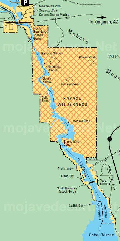
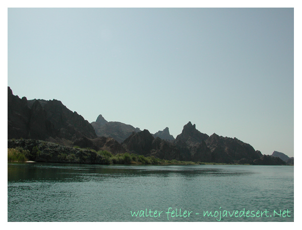
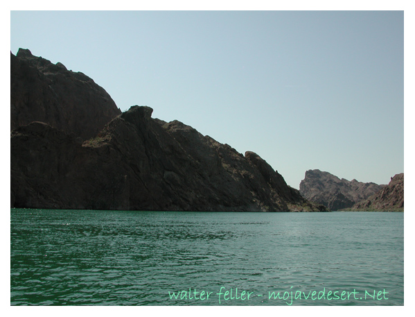
North boundary, Needles Peaks area
Topock Gorge, divided into four equal parts—from the launch to the mouth of the gorge:

Part 1: Launch and Open Water (Topock Marina to Entrance of Gorge)

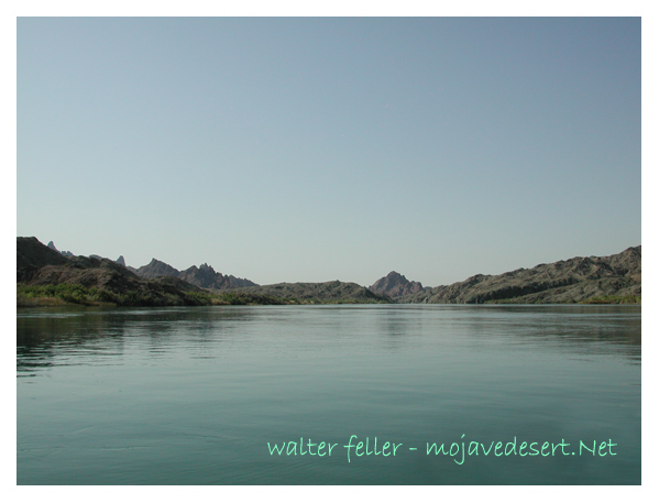
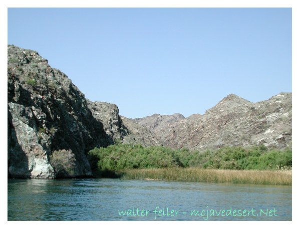
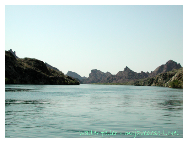
Your trip starts just south of the Topock Marina or nearby launch ramps. The water here is wide and calm, framed by marshes, cattails, and cottonwoods. This stretch is part of the Havasu National Wildlife Refuge, so it’s not uncommon to see great blue herons, egrets, and even wild burros along the shoreline. You’ll head south on the Colorado River, easing into the journey as the gorge’s rocky spires begin to rise in the distance.


Topock Gorge: 1 - 2 - 3 - 4

Intro:: Nature:: Map:: Parks:: Points of Interest:: Ghosts & Gold:: Communities:: Roads & Trails:: People & History:: BLOG:: Weather:: :?:: glossary
Digital-Desert : Mojave Desert
Country Life Realty
Wrightwood, Ca.
Mountain Hardware
Wrightwood, Ca.
Canyon Cartography
G.A. Mercantile


Grizzly Cafe
Family Dining


Abraxas Engineering
privacy
These items are historical in scope and are intended for educational purposes only; they are not meant as an aid for travel planning.
Copyright ©Walter Feller. 1995-2025 - All rights reserved.