--
Angeles National Forest - San Gabriel National Monument
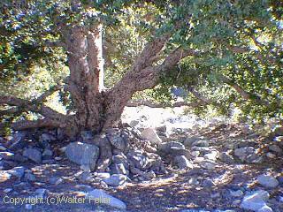
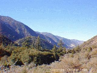
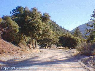
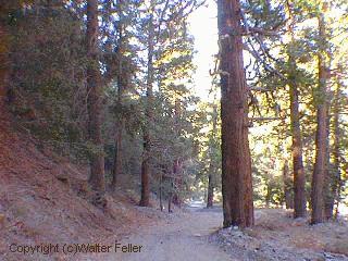
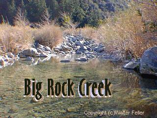
Big Rock Creek
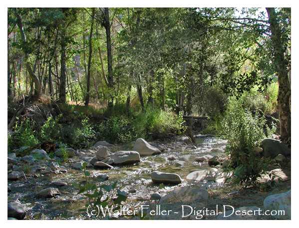
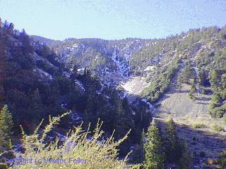
Big Rock Creek begins at an elevation of 6565' on the northern side of the saddle at Vincent Gap. The creek descends the canyon and is fed by several small tributaries before percolating into the aquifer and disappearing into the desert.
Also see:
Big Rock Creek California - Aerial Photo Tour - Pearblossom
aerial photos along the pearblossom highway - Devil's punchbowl, little rock, palmdale, oak hills, phelan, ... Looking southwest up Big Rock Creek canyon.Big Rock Creek Recreation Area
El. 5,000' No longer a campground - day use only. Vault toilets - RV's to 20', no overnight camping. Adventure Pass required ...Vincent Gap
Drainage on the north slope goes to the Big Rock Creek, thence to the Mojave Desert and from the south slope to the East Fork of the San Gabriel River. Vincent ...Dawson Saddle
... between two mountains on a north-trending ridge, and hence the drainage on all sides of the saddle goes to Big Rock Creek, thence to the Mojave Desert.Islip Saddle
Drainage on the north slope goes to the South Fork of Big Rock Creek, thence to the Mojave Desert. Drainage from the ...Valyermo, CA
Big Rock Creek. Devil's Punchbowl. Los Angeles County park along the San Andreas fault with unusally beautiful rock formations and arches ...John C. Fremont
Fremont made camp at Big Rock Creek, where there was water and grass in abundance. On April 19th, the expedition traveled another fifteen miles and made ...Pearblossom, CA
Big Rock Creek. features - ecology: wildlife - plants - geography: places - MAPS - roads & trails: route 66 - old west - 360 photos - misc. ghost towns - gold mines ...The Mormon Battalion
Men hacked at the solid rock throughout the day. ... lower Swarthout Valley, near the Cajon Pass, to the Big Rock Creek area in what is called today Valyermo.